Owsley County
143 Acres Of Secluded Kentucky Riverfront Hunting Land
Road Run KY 11 South Lot# Wp001 Ricetown, KY 40972
Media
Description
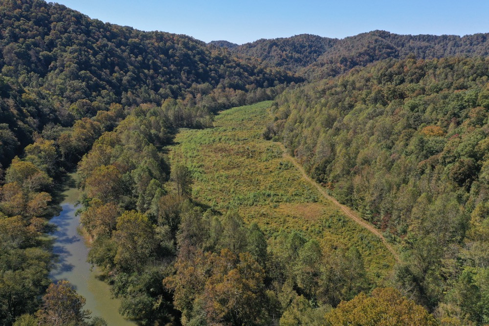
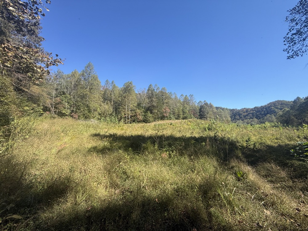
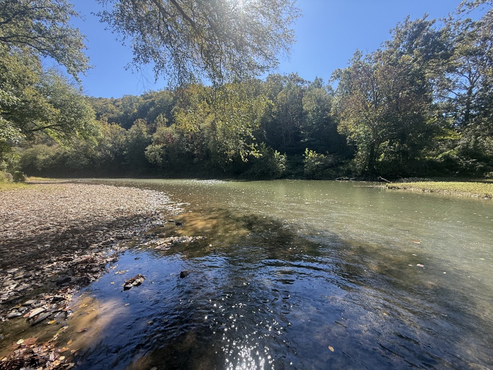
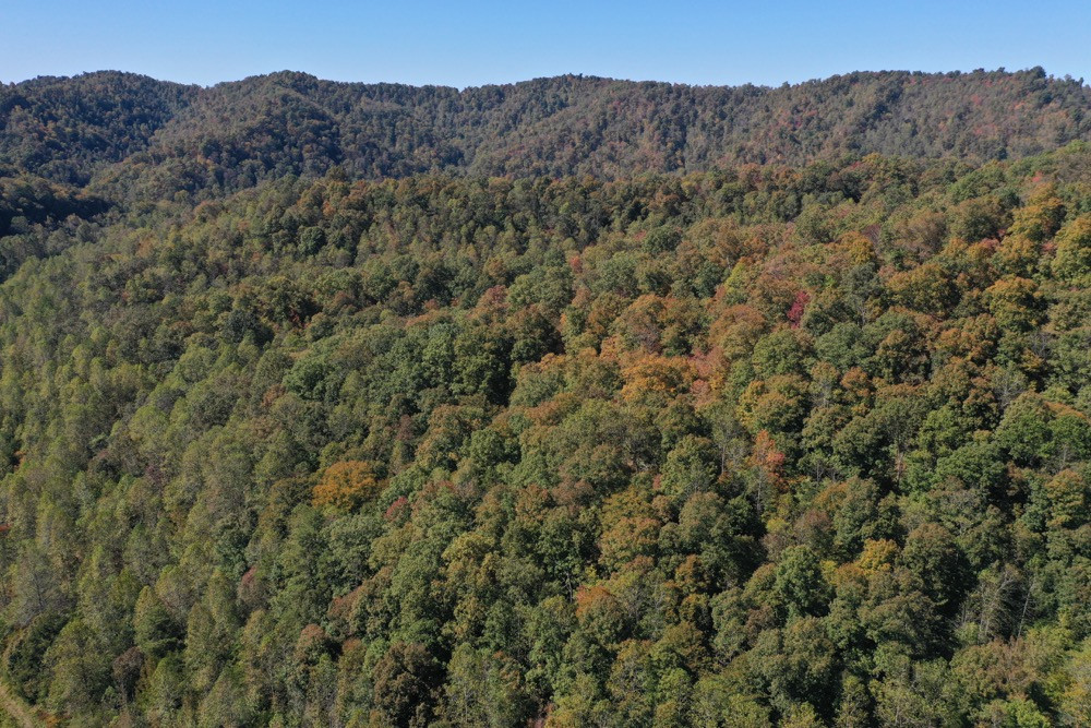
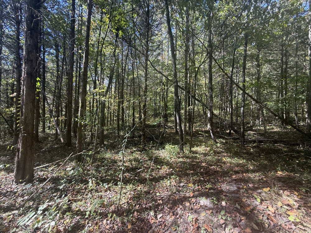
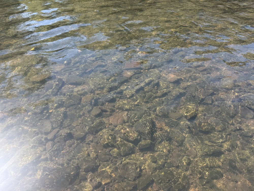
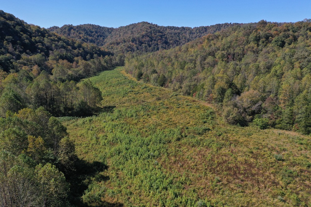
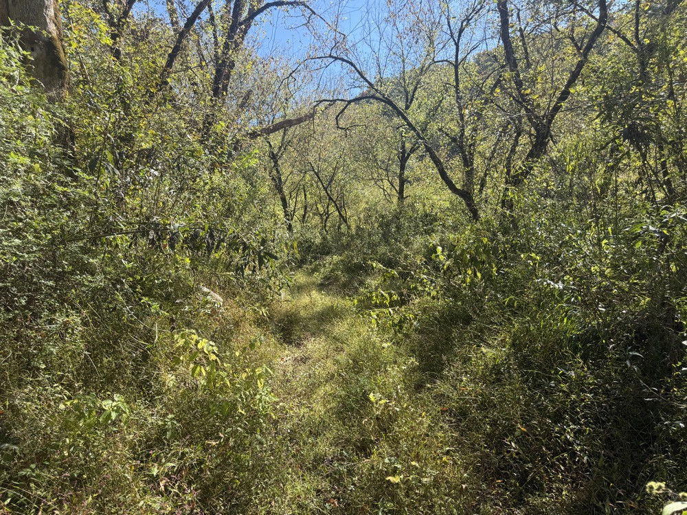
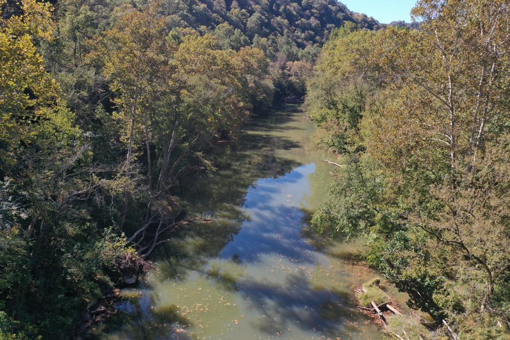
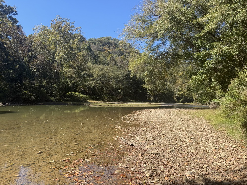
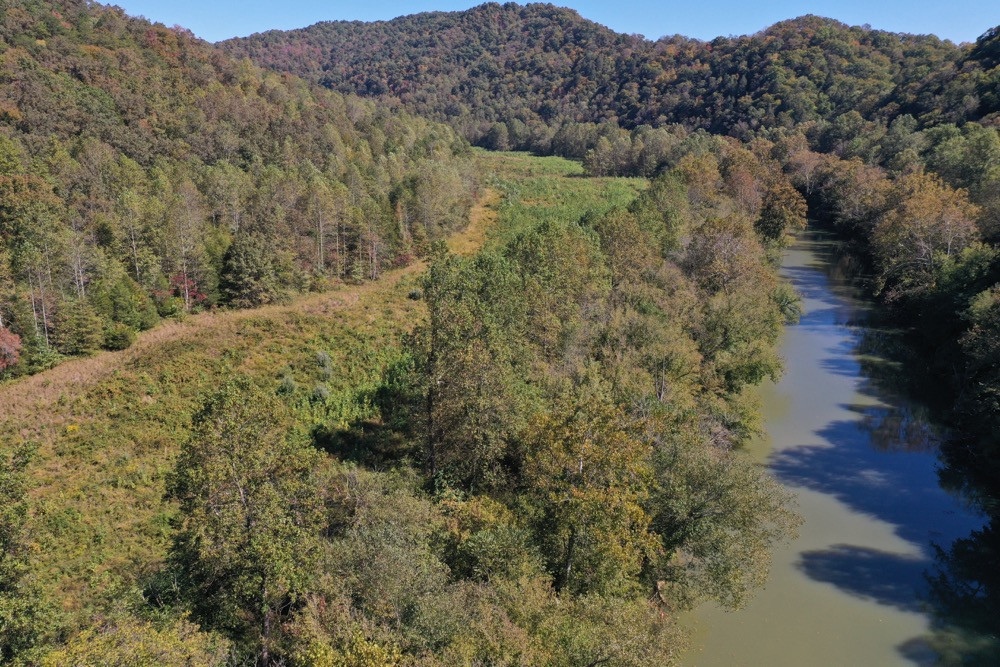
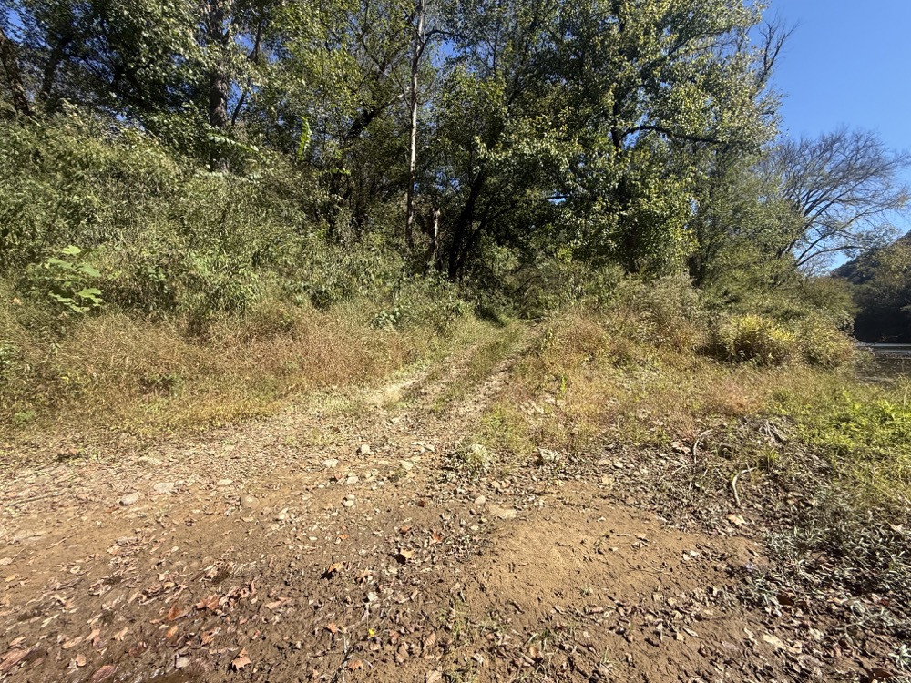
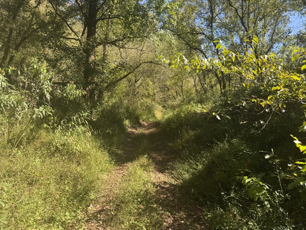
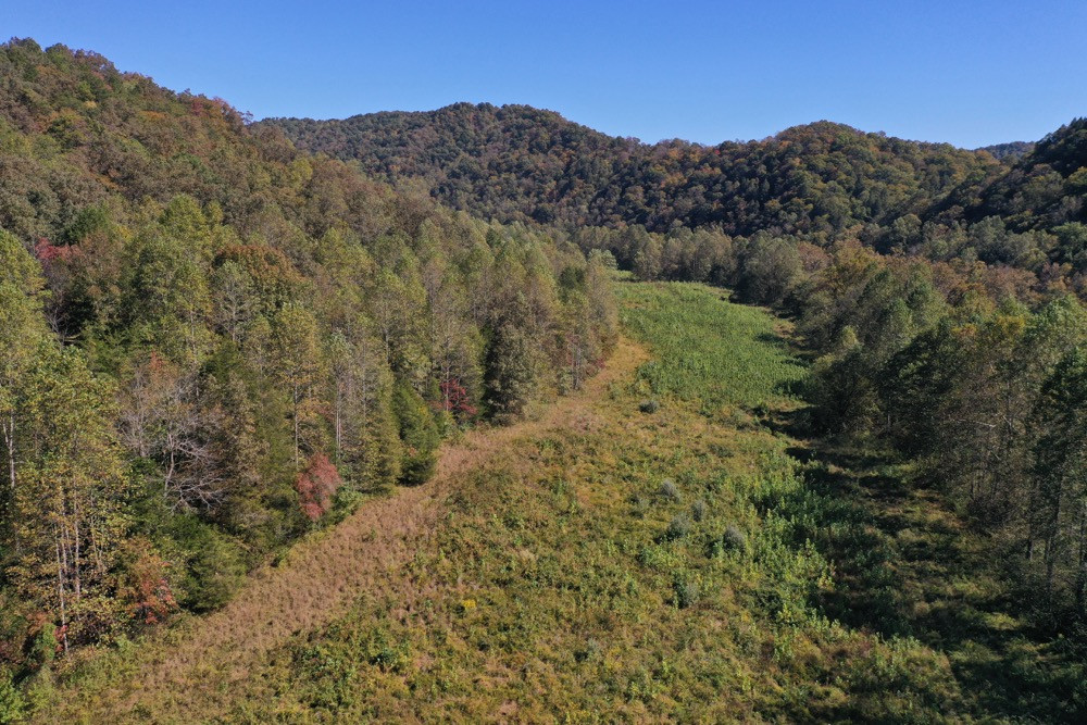
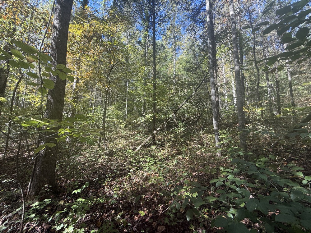
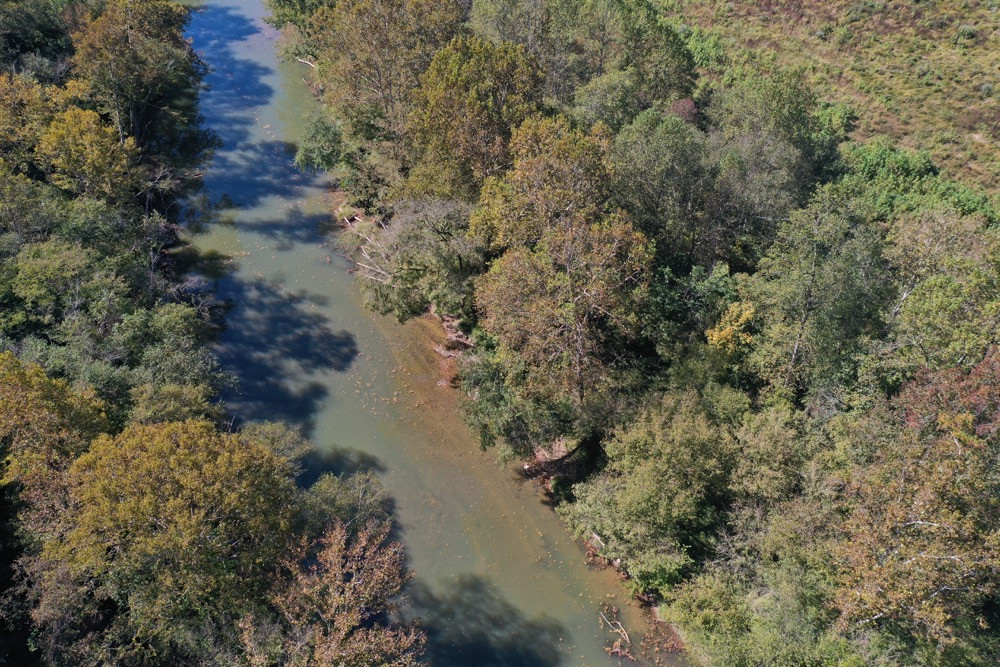
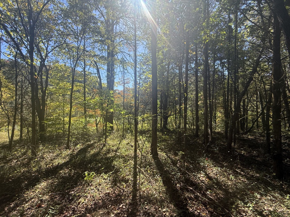
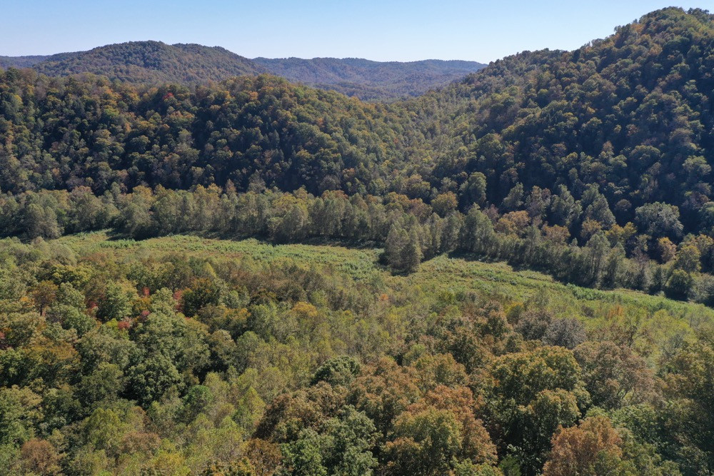
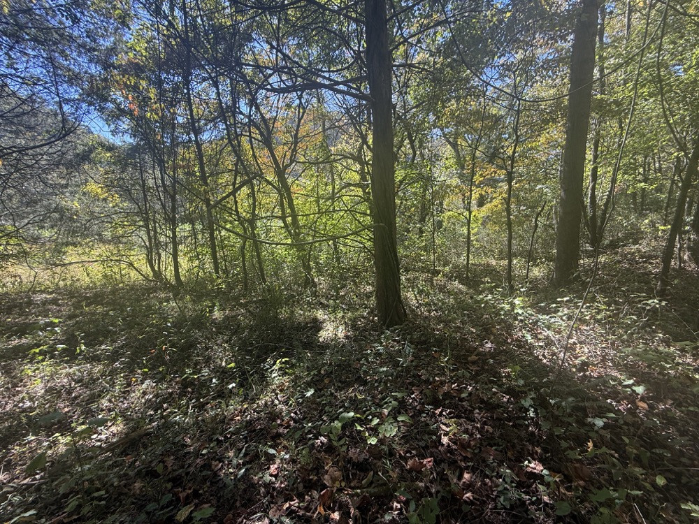
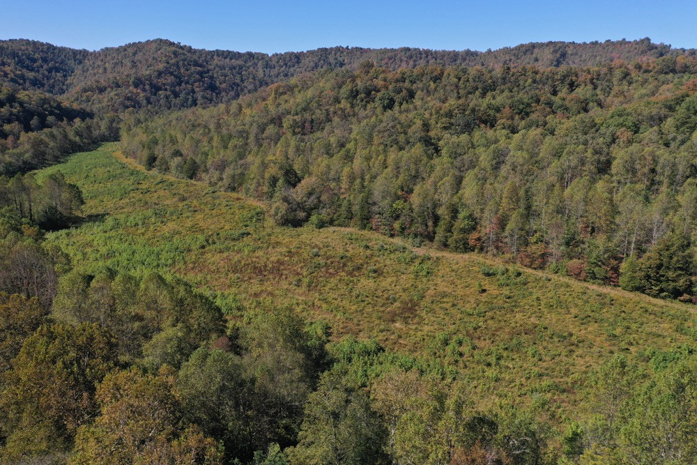
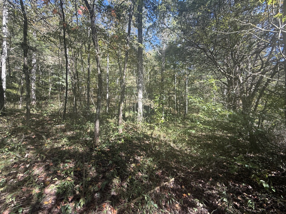
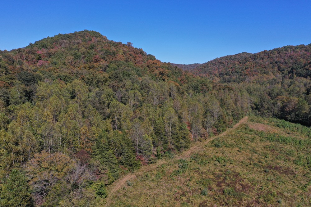
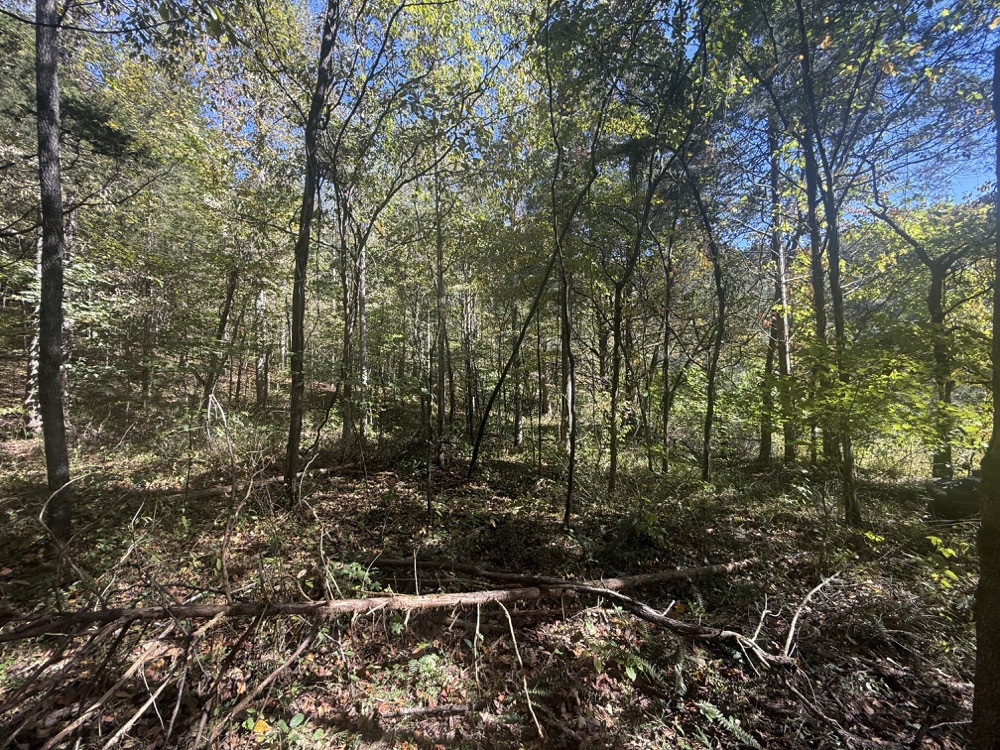
Tucked away along a winding stretch of the South Fork Kentucky River in Owsley County, Kentucky, this 143 +/- acre recreational property offers an uncommon combination of extensive river frontage, diverse wildlife habitat, rolling bottomland, and rugged Appalachian terrain. With over 1 mile of riverfrontage along the southern and eastern boundaries, the property offers opportunities for fishing, hunting, camping, and exploring a secluded section of eastern Kentucky. Access is from KY 11 by way of the old Bishop Bend Ford Road, an abandoned county road that crosses the river and continues along the property's western boundary. This route is accessible primarily by UTVs, ATVs, and other capable off-road vehicles, as you actually drive through the river, which adds to the property's remote character and outdoor-adventure appeal. One of its most notable features is the South Fork Kentucky River, known for its smallmouth bass, muskellunge, and other warmwater fish species. The extensive shoreline provides opportunities for bank fishing, wading, and exploring the river by canoe or kayak when conditions permit. The property also features over 13 acres of rolling bottomland that could potentially be cleared for food plots, agricultural use, or recreational openings, subject to soil and floodplain conditions. An old homesite adds historical character and offers an area worth evaluating for primitive camping or other off-grid recreational uses. The lower elevations are predominantly wooded with poplar, sycamore, maple, and other softwood species, while the higher elevations give way to hardwood-covered hillsides and ridges featuring oak and hickory. Elevations range from approximately 690 feet along the river to 1,240 feet at the highest point, creating roughly 550 feet of elevation change and a diverse landscape of river bottoms, wooded slopes, and elevated ridges. This combination of terrain, timber, and water provides habitat for whitetail deer, wild turkey, black bear, and other native wildlife. The oak and hickory timber offers seasonal hard mast, while the river corridor and lower elevations provide additional cover, vegetation, and natural travel routes for wildlife. Hunters will appreciate the variety of terrain and opportunities to explore potential stand locations, travel corridors, and areas for habitat improvements. Beyond hunting, the property's 143 +/- acres offer numerous recreational possibilities, including fishing, primitive camping, hiking, wildlife observation, and off-road exploration. The extensive riverfrontage and secluded surroundings create a setting for those who enjoy spending time outdoors away from conventional road access and developed areas. Prospective buyers should understand that access requires crossing the river, as there is no bridge, and traveling an unimproved route, with conditions potentially affected by rainfall and fluctuating water levels. Legal access rights, crossing conditions, and any proposed improvements should be independently verified. For buyers seeking a remote recreational getaway rather than a conventional property with everyday automobile access, this tract offers a distinctive combination of riverfrontage, substantial bottomland, hardwood habitat, and rugged terrain. Whether pursuing smallmouth bass and muskie along the river, hunting the wooded ridges for deer and turkey, or establishing a primitive camp for weekend adventures, this 143 +/- acre Owsley County property provides a wide range of opportunities to experience the outdoors in a largely undeveloped Appalachian river valley.
Summary
Address
Property
Land Details
Timber
Tillable
Improvements/Features
Small Game, Big Game, Predators, Fish, Creek/Spring, Seller's Mineral Rights Convey
Details
- 7 miles to Oneida, KY... 11 miles to Booneville, KY... 40 miles to London, KY
- Over 1 mile of South Fork Kentucky River Frontage
- 13+ acres of tillable river bottom land
Other
Coordinates
Annual Taxes


The information contained herein is deemed reliable but is not warranted or guaranteed by the Broker, its Agents, or the Seller. Access to property, access to utilities, or any measurements including but not limited to, acreage, square footage, frontage, and mapping boundary lines shared herein has not been independently verified and is for purposes of marketing only. If exact measurements, access to property, or access to utilities is a concern, the property should be independently measured or investigated by the prospective buyer.
COOPERATING BROKER COMPENSATION: Please contact Listing Agent/Broker for terms of cooperating Buyer Broker compensation. Terms of compensation, if any, shall be ascertained by cooperating brokers before beginning efforts to accept the offer of cooperation. Buyer's Agents/Brokers must be identified, by Buyers and/or their Brokers/Agents, on the first contact with Listing Broker/Agents to receive compensation. Otherwise, compensation will be at the sole discretion of the Seller, Broker, and Whitetail Properties Real Estate, LLC.
Real Estate Commissions and Cooperating Broker Compensation, if any, are fully negotiable and is not fixed or controlled by law, by Whitetail Properties Real Estate, LLC (or any division/trade name/DBA of), or its Agents/Brokers.
The information contained herein is deemed reliable but is not warranted or guaranteed by the Broker or Seller. The Broker (Whitetail Properties) does not assume liability for typographical errors, misprints, nor for misinformation that may have been given to us. All property is subject to change, withdrawal, or prior sale. Whitetail Properties Real Estate, LLC DBA Whitetail Properties, DBA Whitetail Properties Real Estate. In the States of Nebraska & North Dakota DBA Whitetail Trophy Properties Real Estate LLC. Licensed in CO, MN, ND, SD, TN & WI - Jeffrey Evans, Broker. Licensed in FL, KS & MO - Jefferson Kirk Gilbert, Broker. Licensed in TX - Joey Bellington, Broker. Licensed in IN - Dan Bates, Broker. Licensed in AL, MS, LA, - Todd Edwards, Broker. Licensed in TN – Thomas Crutcher, Broker. Licensed in TN & MS- Josh Monk, Broker. Licensed in AR - Anthony Chrisco, Broker. Licensed in NC, SC, VA - Chip Camp, Broker. Licensed in IA, - Richard F. Baugh, Broker. Licensed in IL, MI – Ronnie Strong, Broker. Licensed in IL, MD, WV - Debbie S. Laux, Broker. Licensed in ID, MT, OR, UT, WA, WY & NV, AZ - Aaron Milliken, Broker. Licensed in NY - John Myers, Real Estate Broker. Licensed in OK - Dean Anderson, Broker. Licensed in KY, ME, NH, NM & VT - Derek Fisher, Broker. Licensed in OH - Jeremy Schaefer, Principal Broker. Licensed in NE - Jason Schendt, Broker. Licensed in PA- Jack Brown, Broker. Licensed in GA – Grantson Martin, Broker.