Knox County
40± Acres In Knox County Hunting And Timber Land
M7L22 Nelson Ridge Road North Washington, ME 04574
Media
Description
Offered below appraised value, this 40-acre tract near Washington Pond brings together wildlife habitat, timber potential, and quiet recreational ground. The parcel has been surveyed and includes an updated forest management plan, giving buyers a clear framework for future stewardship. Walk it, and you’ll get a sense of how the land has grown back and how it can be used moving forward.
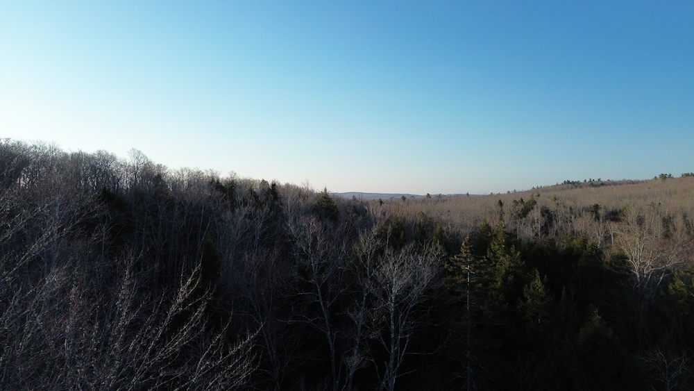
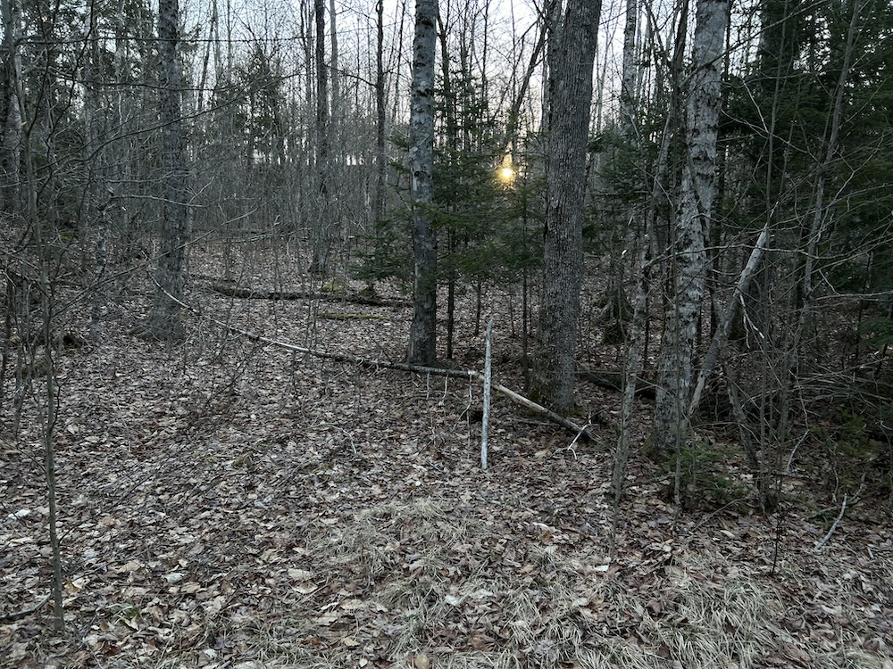
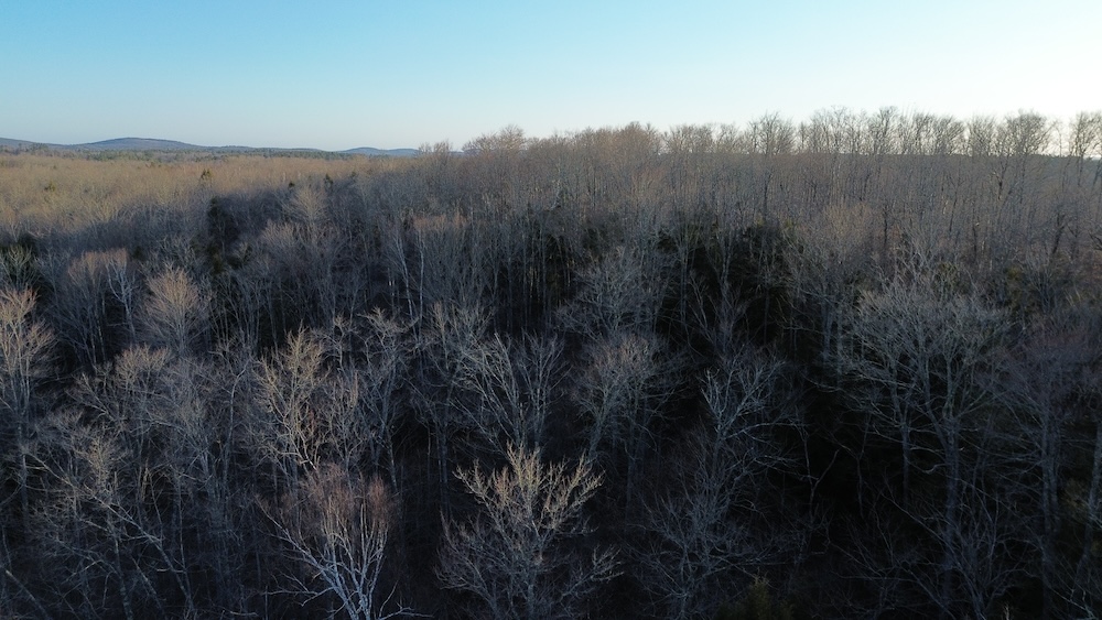
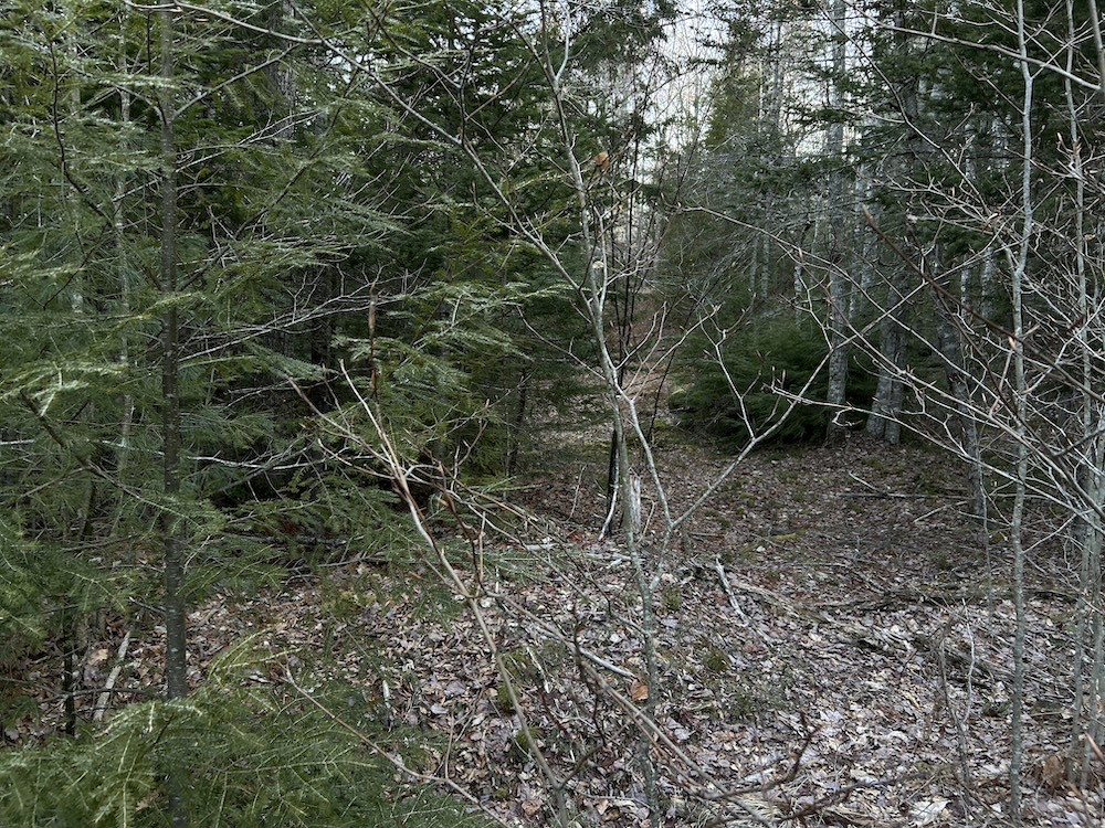
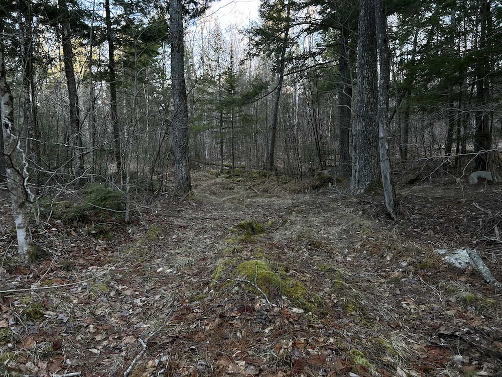
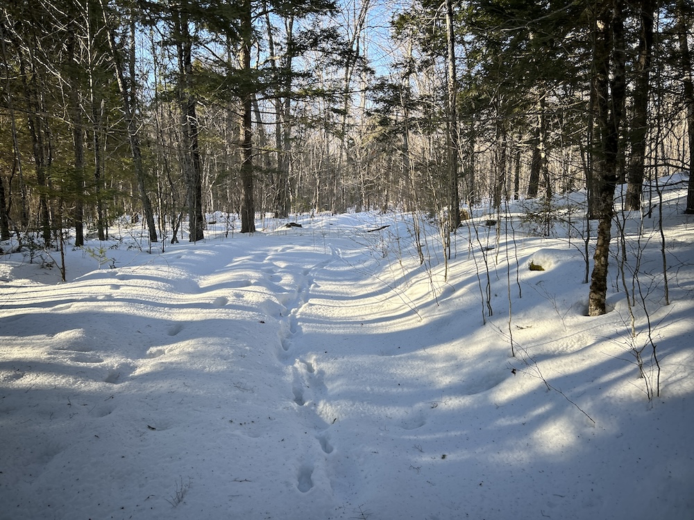
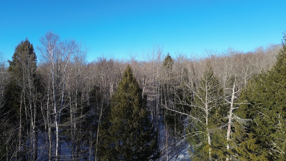
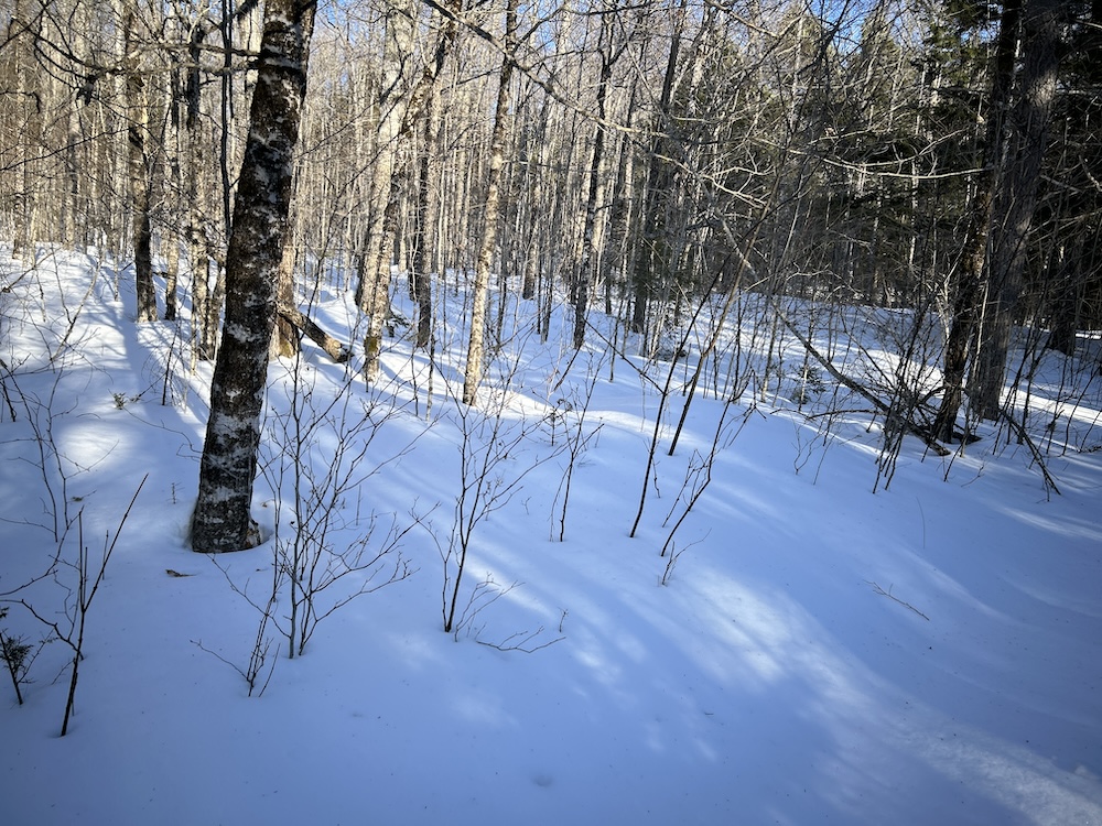
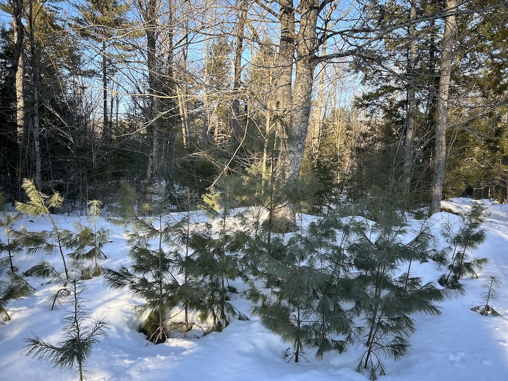
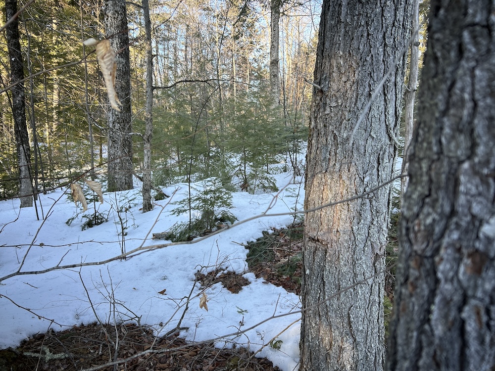
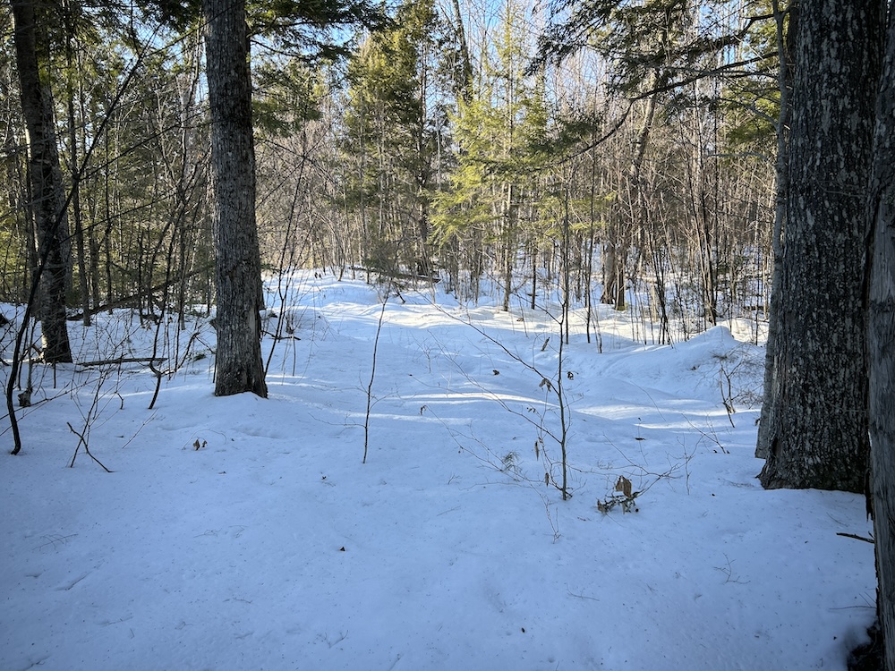
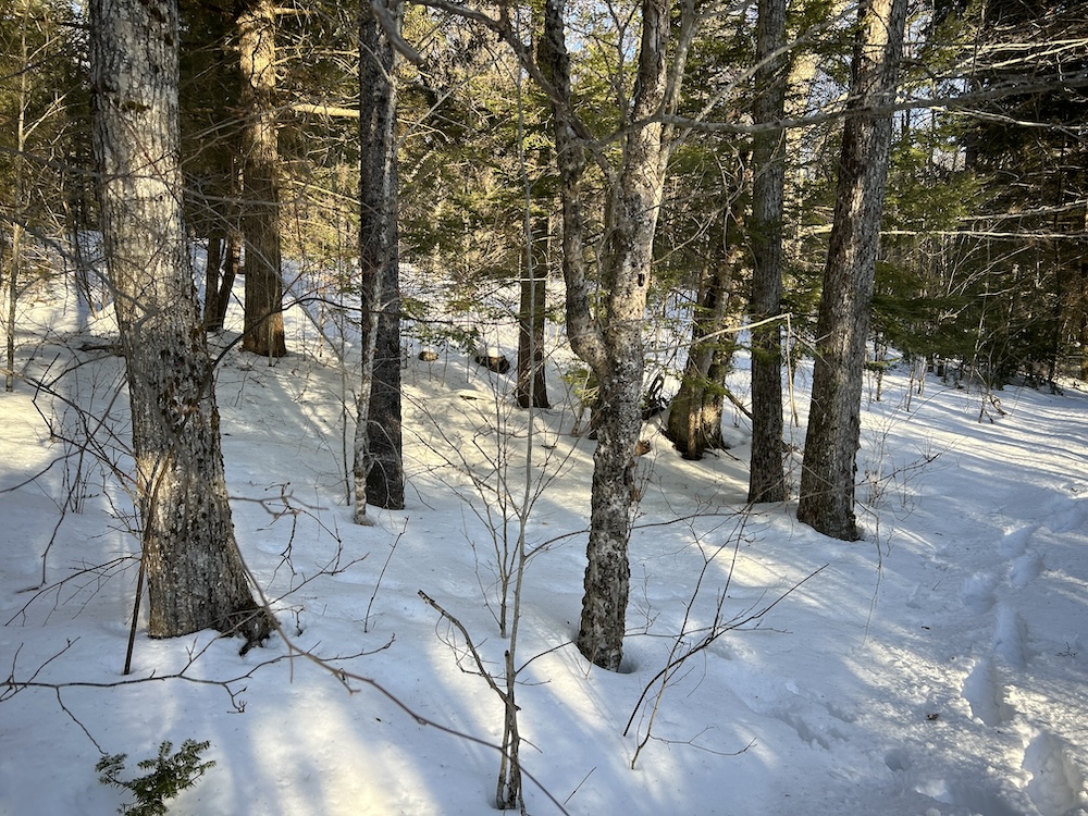
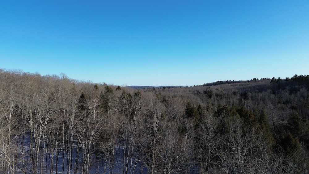
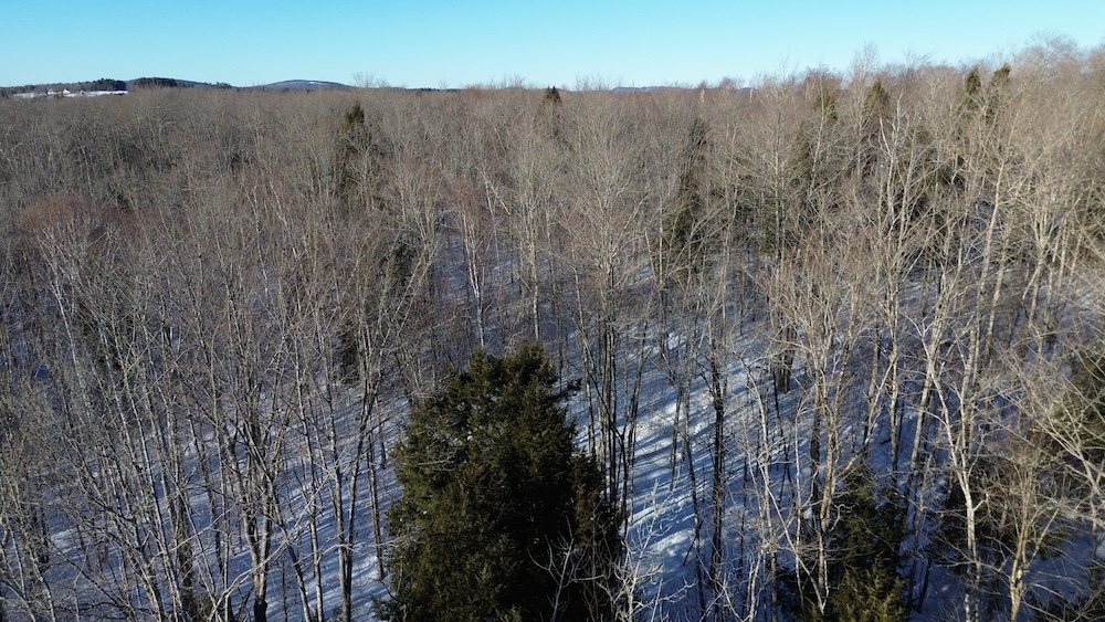
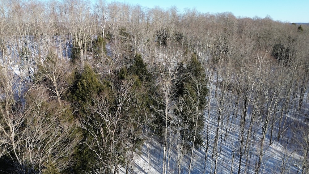
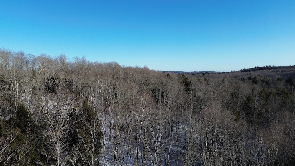
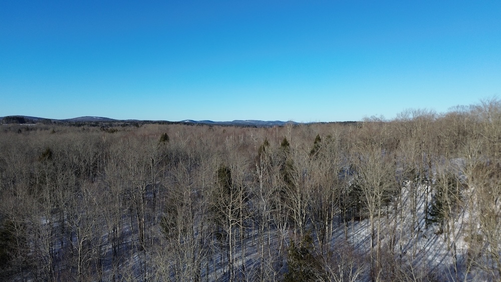
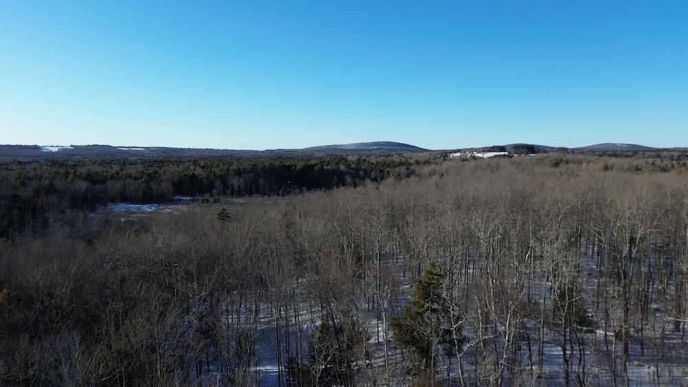
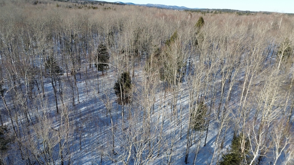
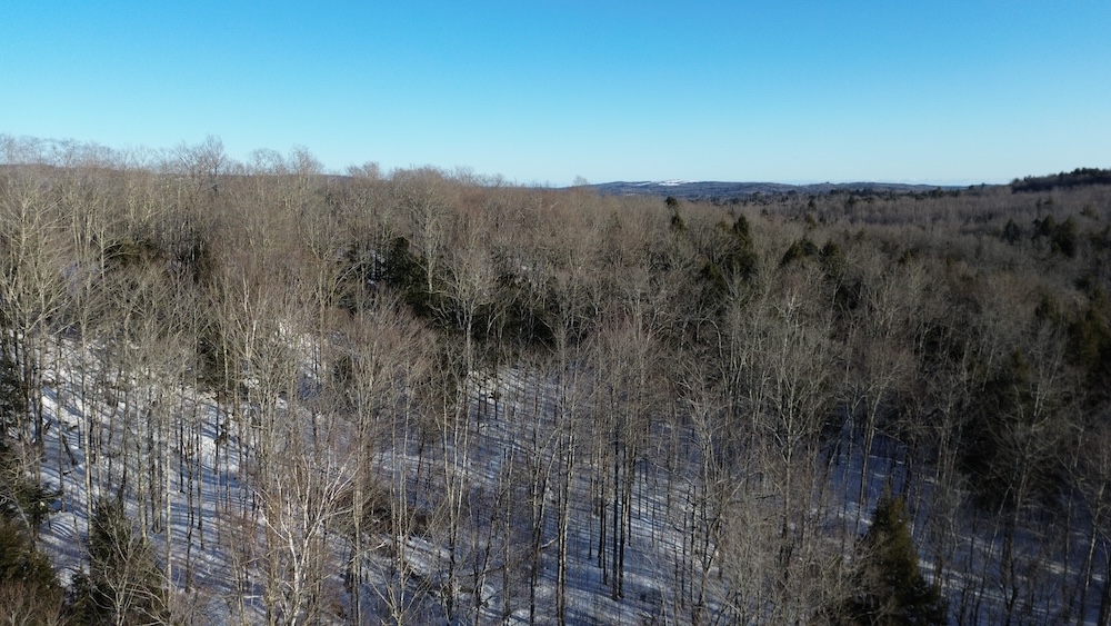
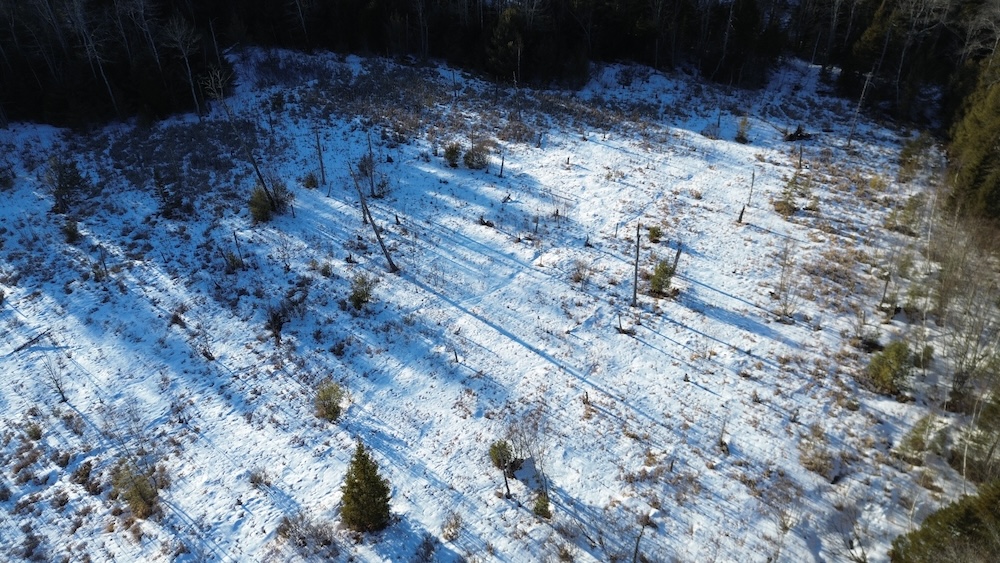
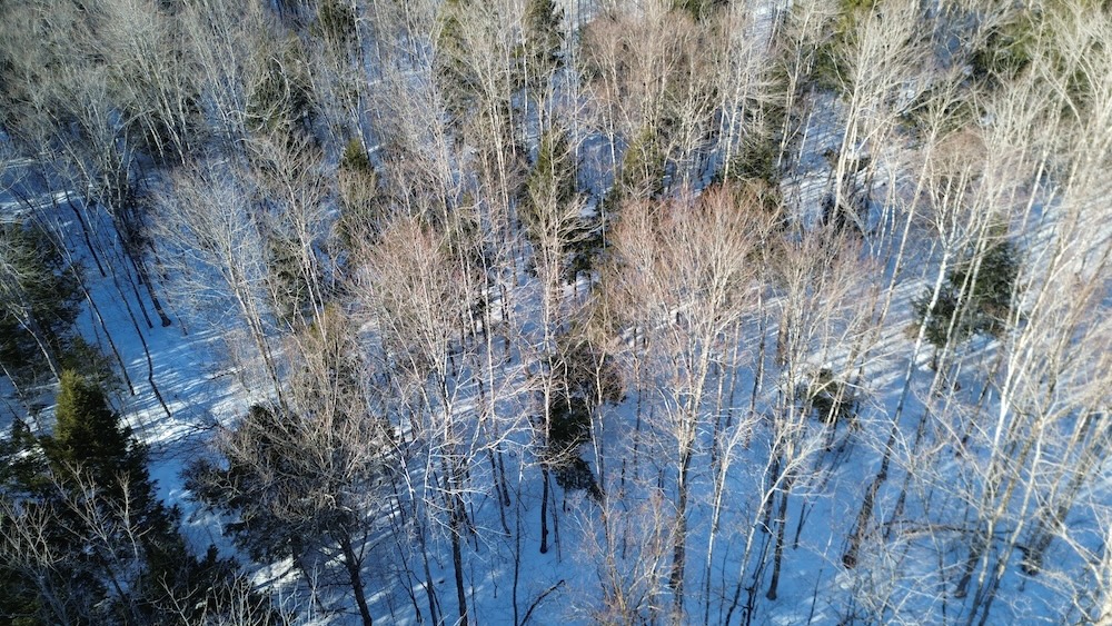
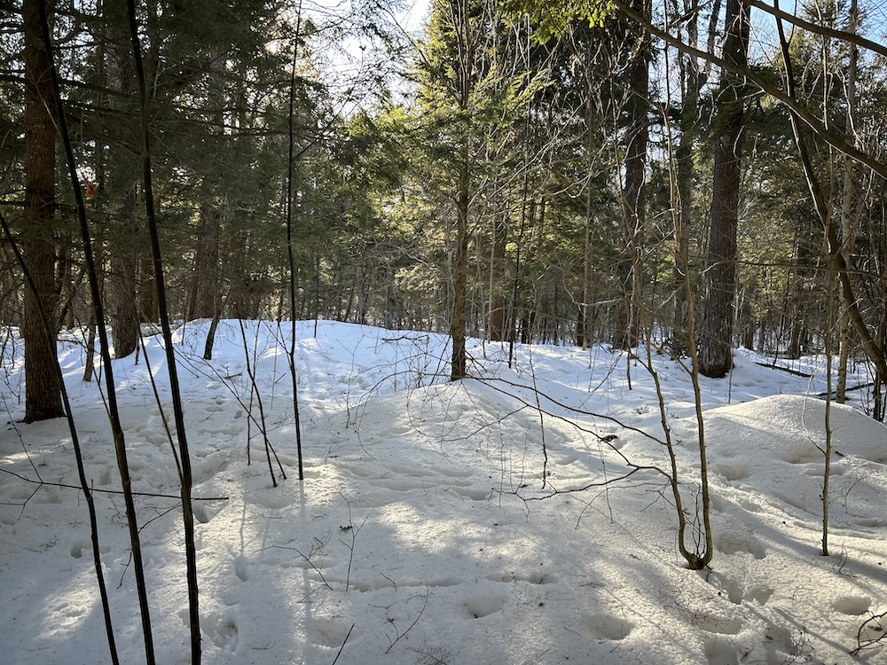
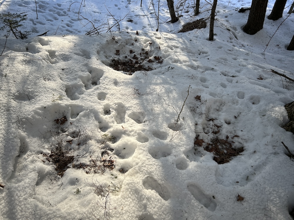
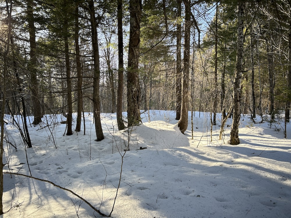
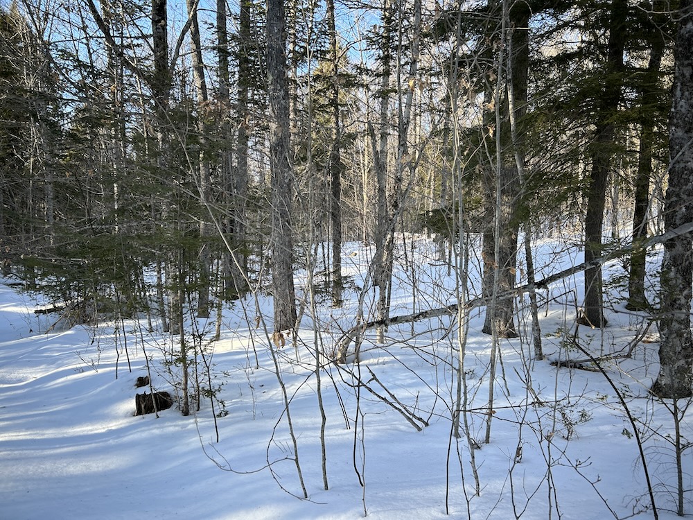
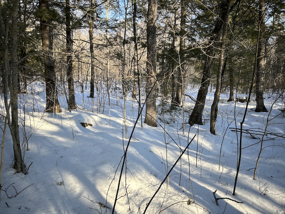
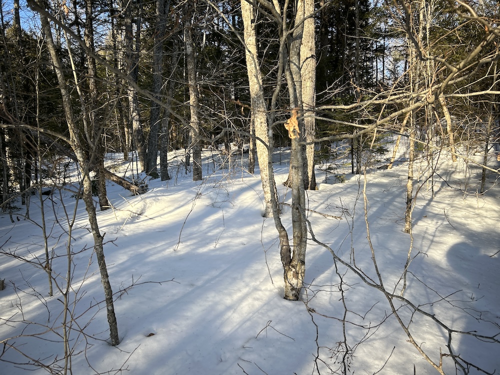
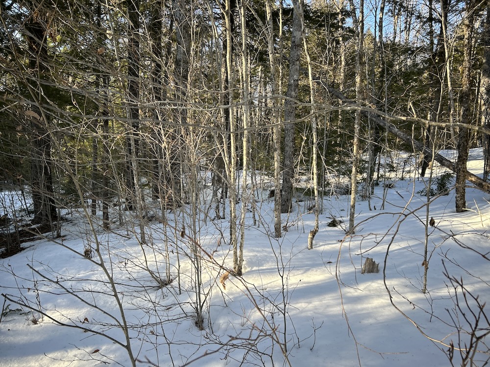
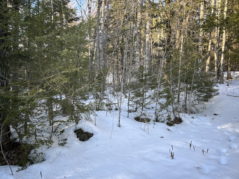
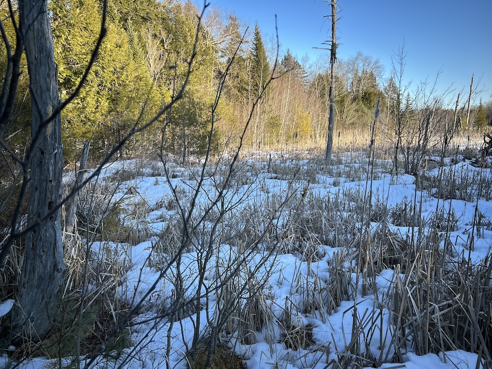
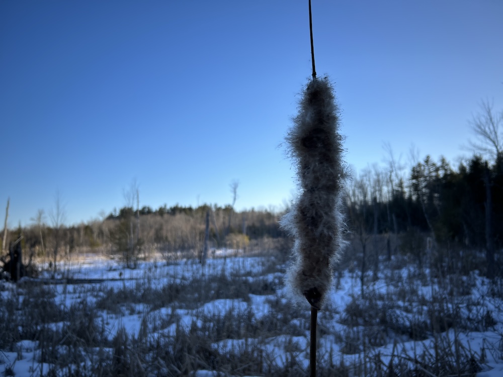
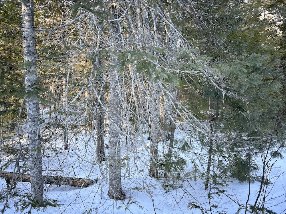
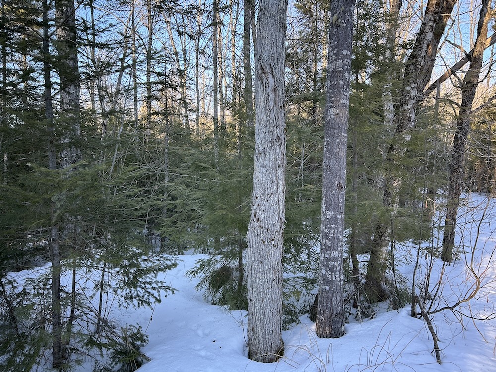
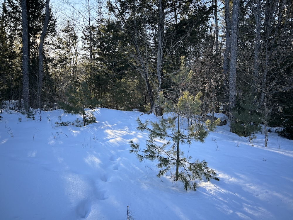
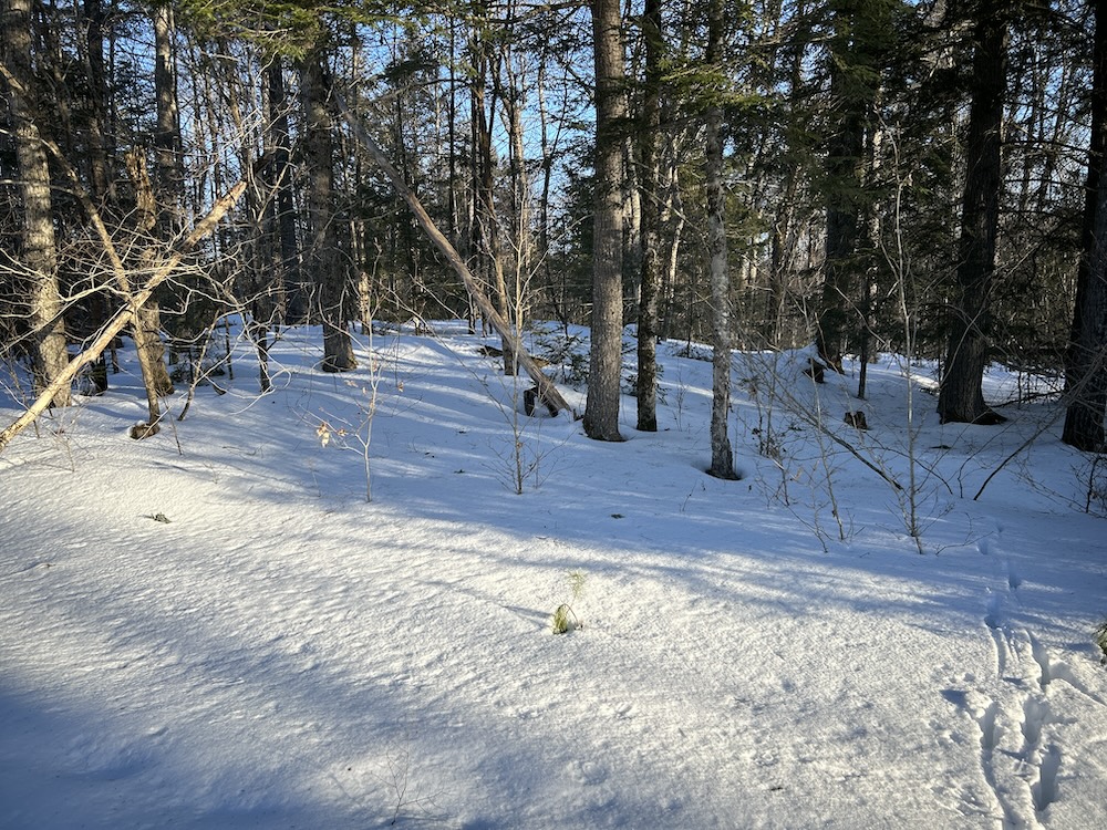
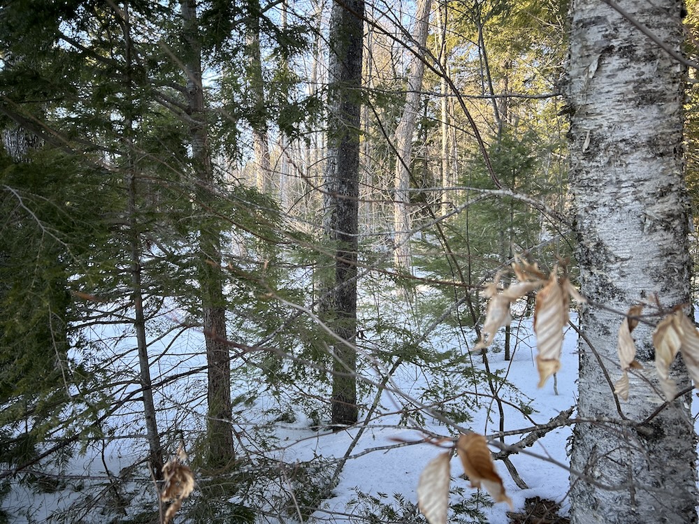
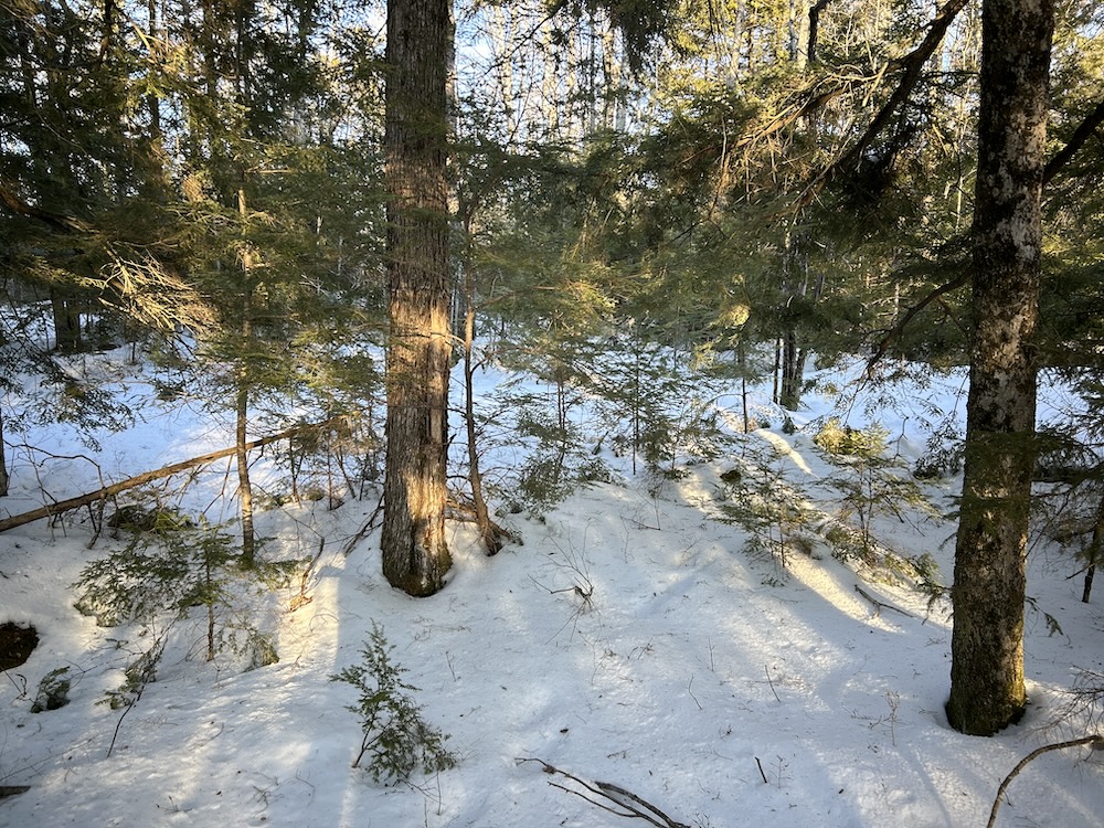
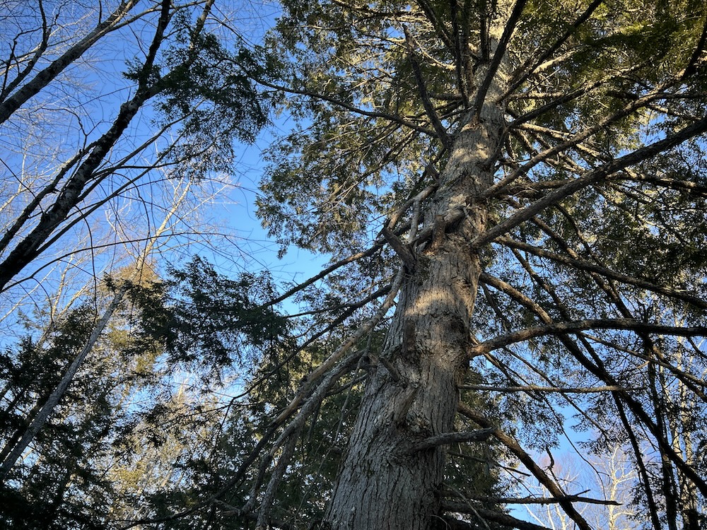
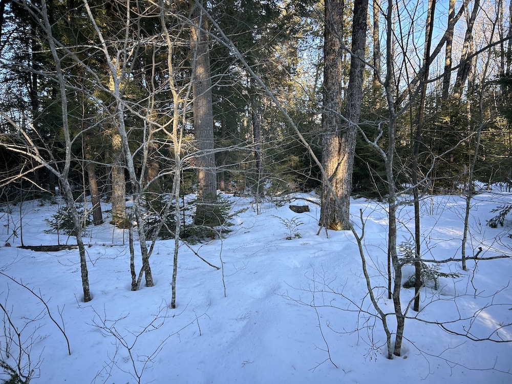
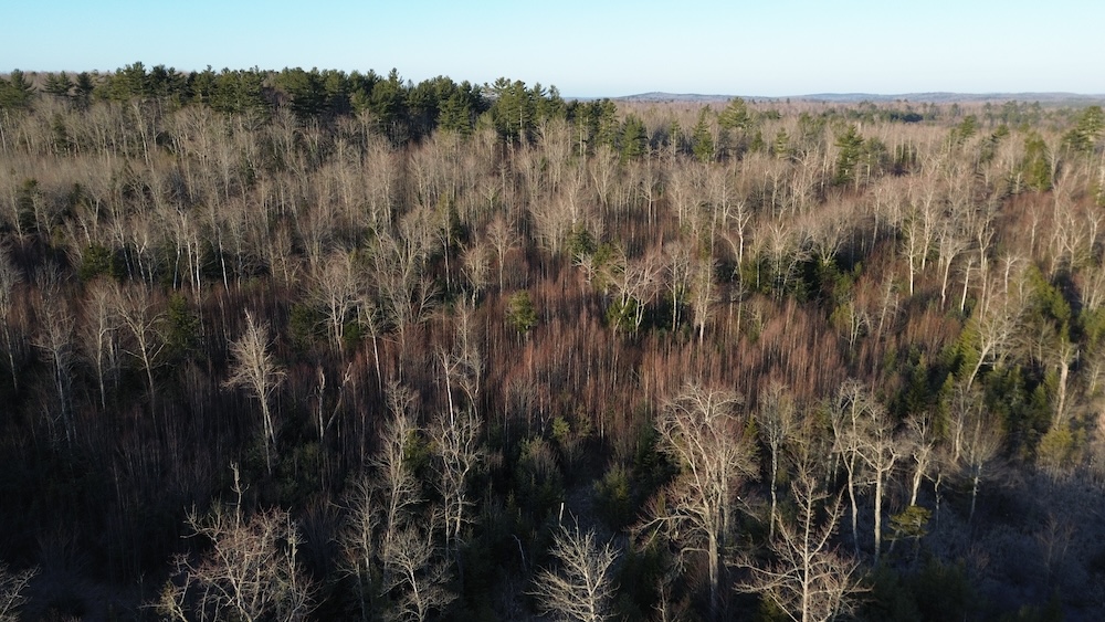
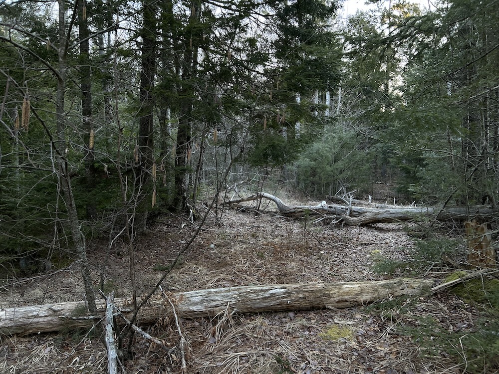
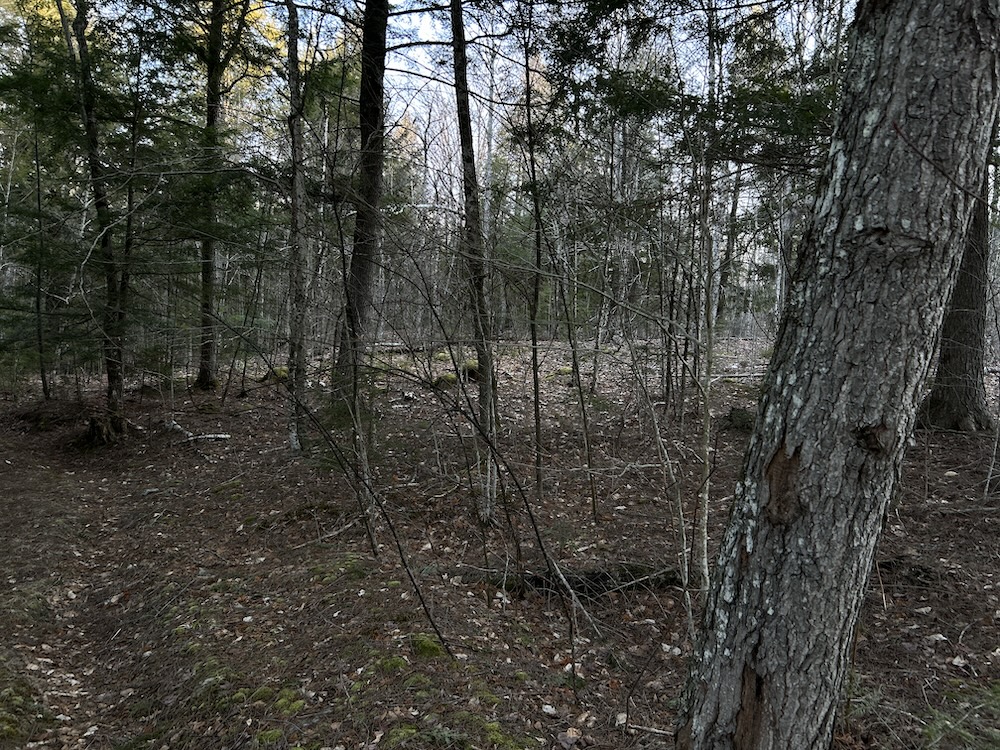
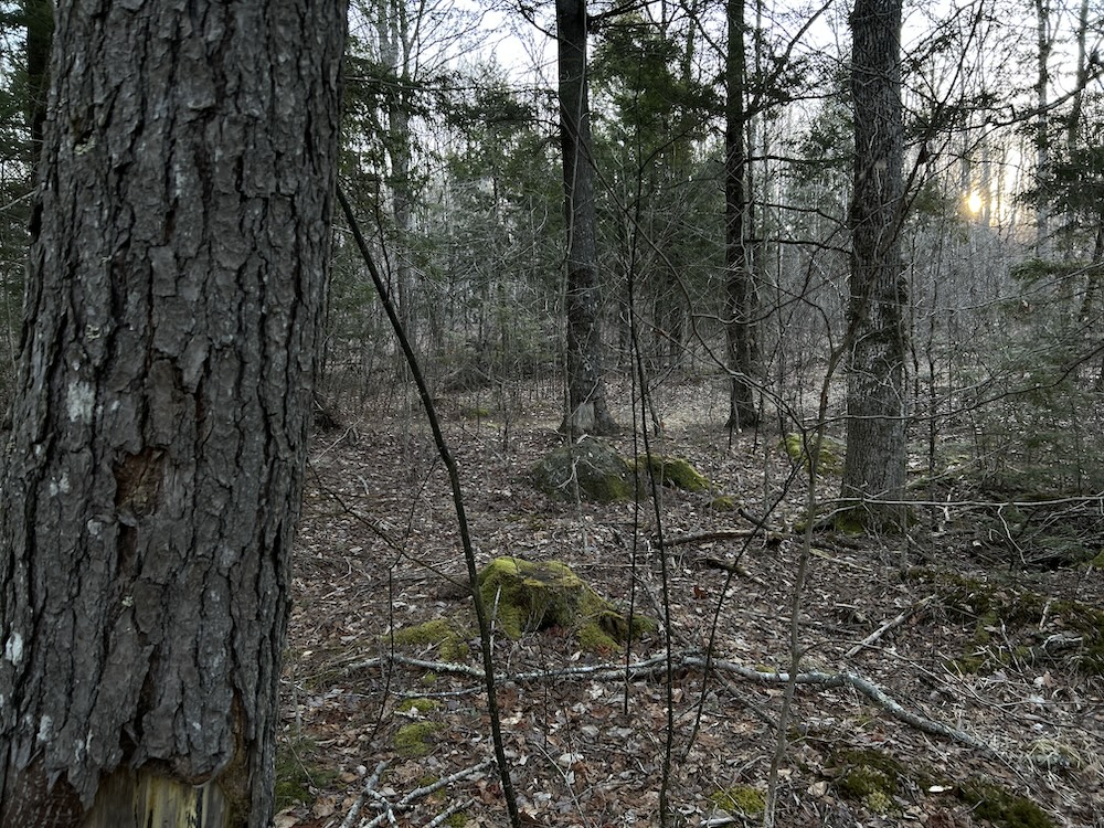
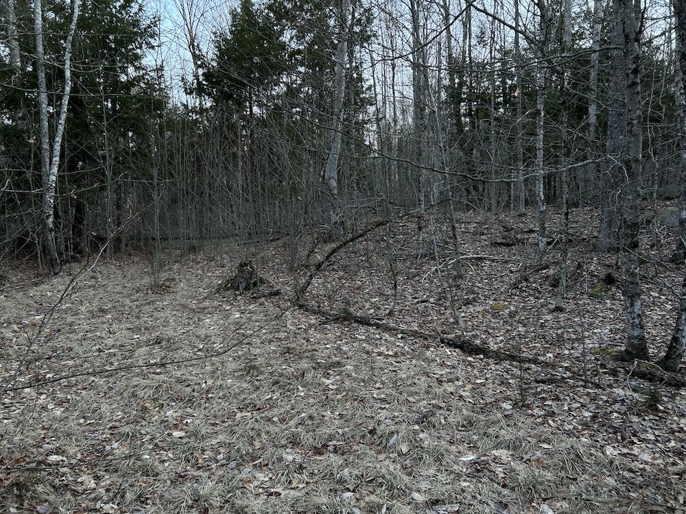
Harvested roughly thirteen years ago, the forest has regenerated into a mix of hardwoods and conifers. This stage of growth creates strong cover and consistent browse, supporting steady wildlife activity. Deer trails cross the property in multiple directions, with bedding areas and travel routes following the natural contours of the land. Spend some time on the ground, and the movement patterns become easy to read.
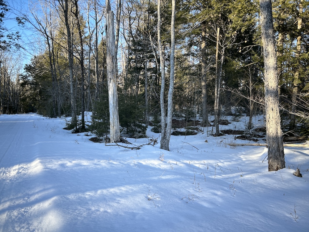
Old skid roads remain from the previous harvest and provide a working network for access into the interior. These trails can be reopened with moderate effort and lead to former landing areas that offer practical space for staging or a seasonal camp setup. Walk these corridors, and you’ll see how the property connects.
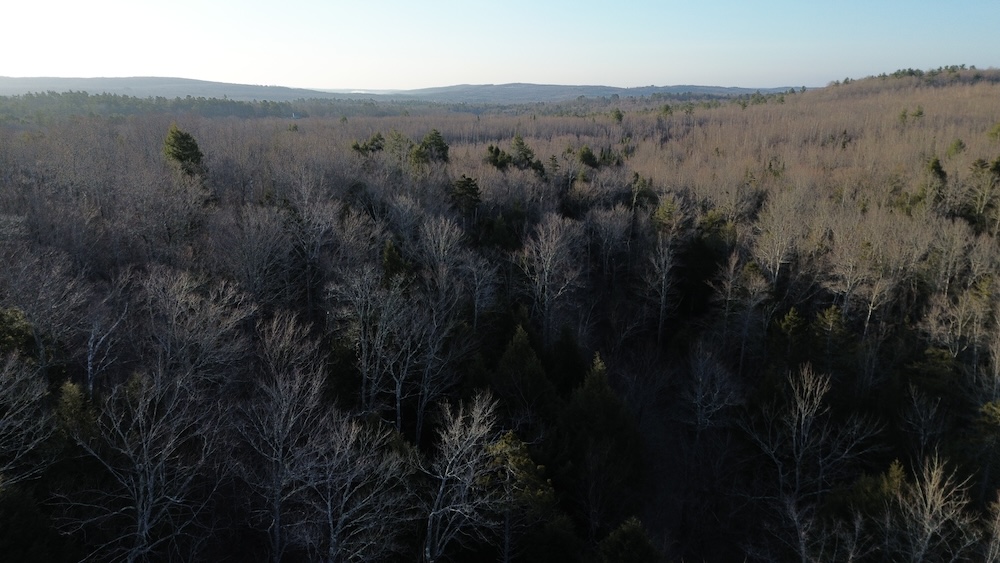
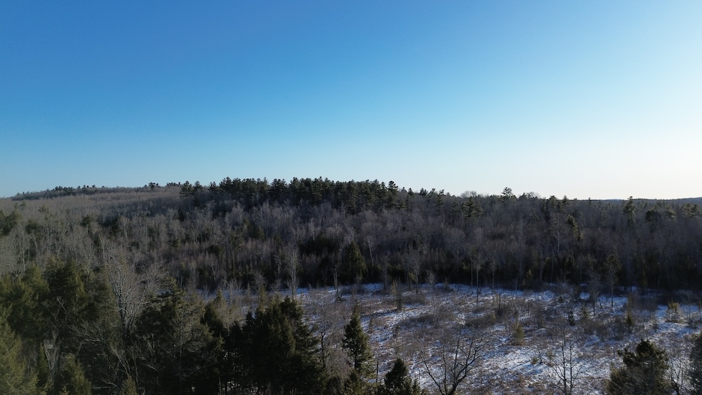
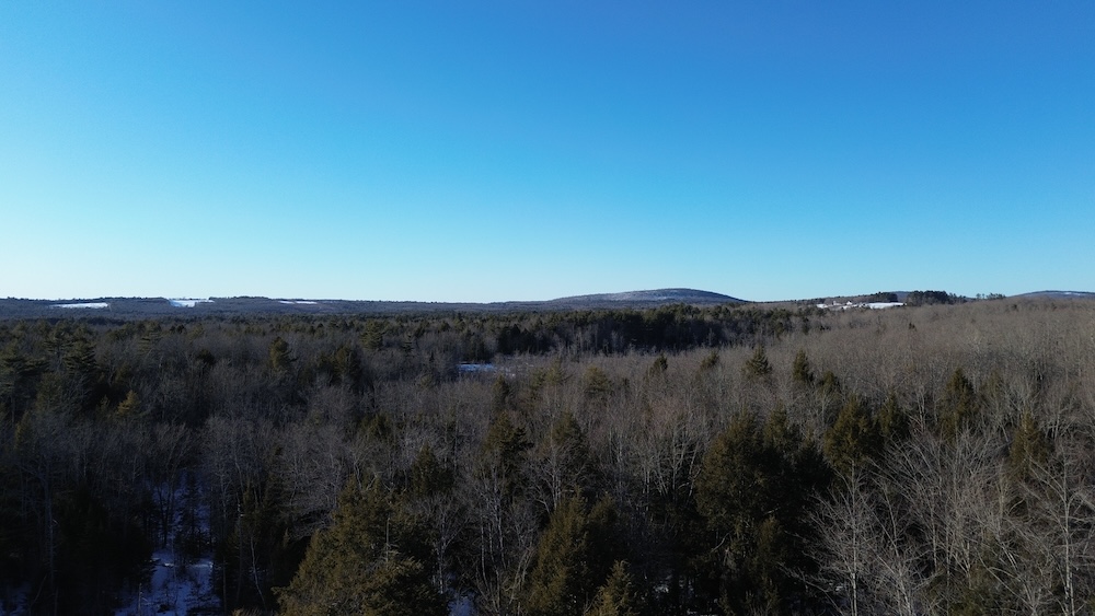
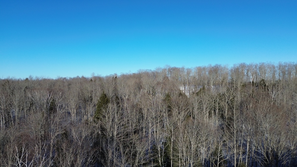
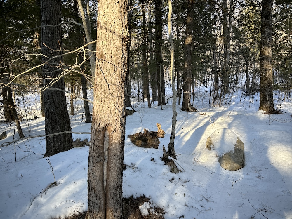
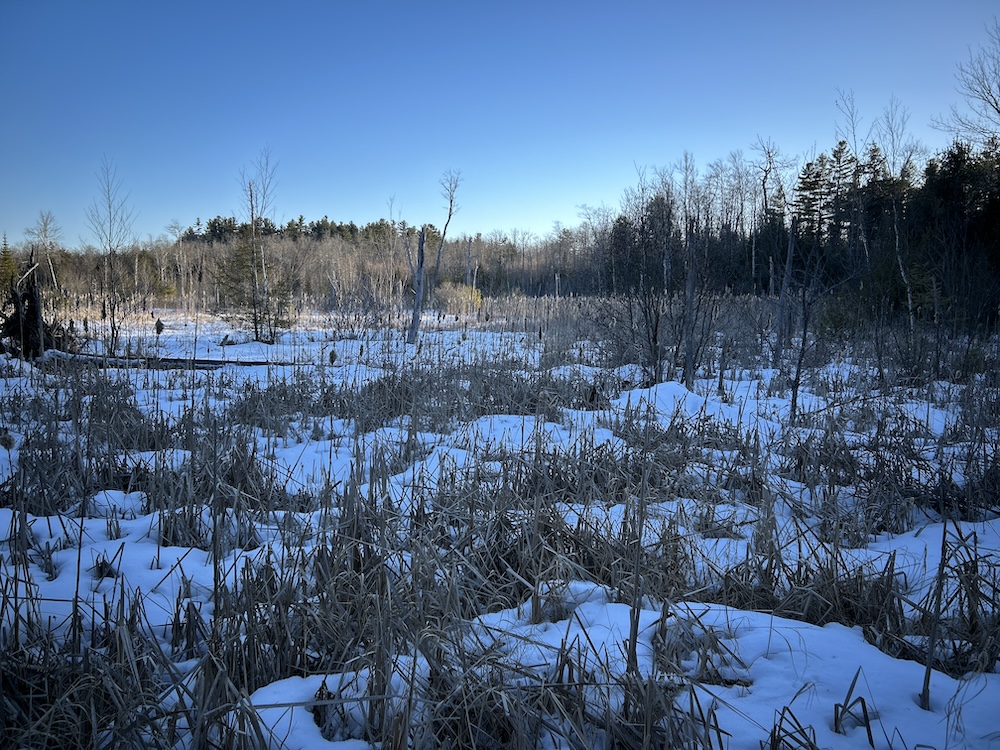
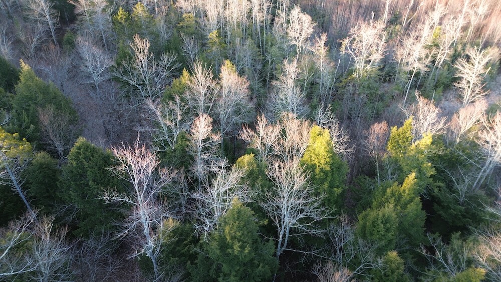
The terrain rises gradually to interior high ground where views open across the surrounding hills. This elevated area stands out as a natural focal point, offering both visual appeal and a practical position for recreational use. Climb to the high ground and take in the perspective.
Power is located roughly a quarter mile away, allowing flexibility for future plans while maintaining a quiet setting. The parcel's size provides privacy without becoming difficult to manage.
This property carries multiple forms of value—timber growth, proven wildlife use, and varied terrain. It works as a hunting property, a recreational retreat, or a long-term land hold. Reach out, and we’ll set up a time to walk it.
Summary
Address
Property
Improvements/Features
Small Game, Big Game
Details
- Updated forest management plan completed
- Surveyed parcel
- Interior high ground with long views
Other
Coordinates
Annual Taxes

Nearby Related Properties
Stay Connected
Be Part of a Thriving Land Community!
Get the same expert advice, property strategies, and land management tips that thousands of landowners trust. Subscribe now and stay ahead in the market.