Otter Tail County
Otter Tail County Leaf River Bottom
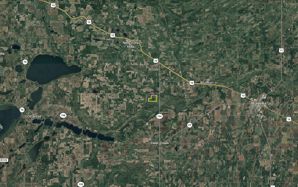
TBD 340th Street New York Mills, MN 56567
Description
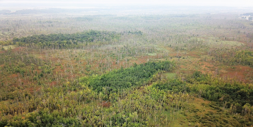
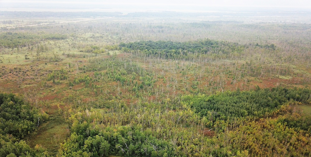
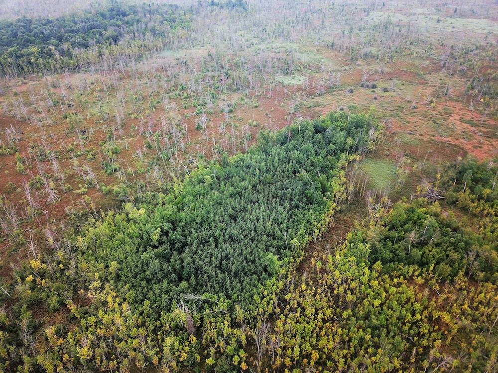
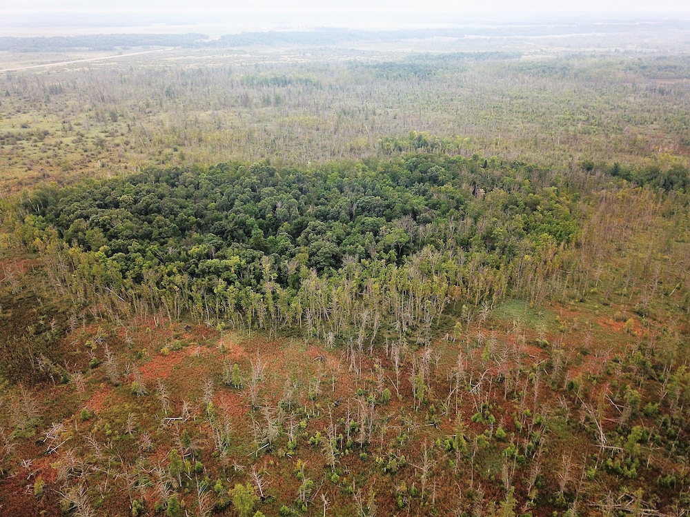
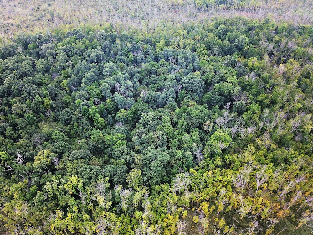
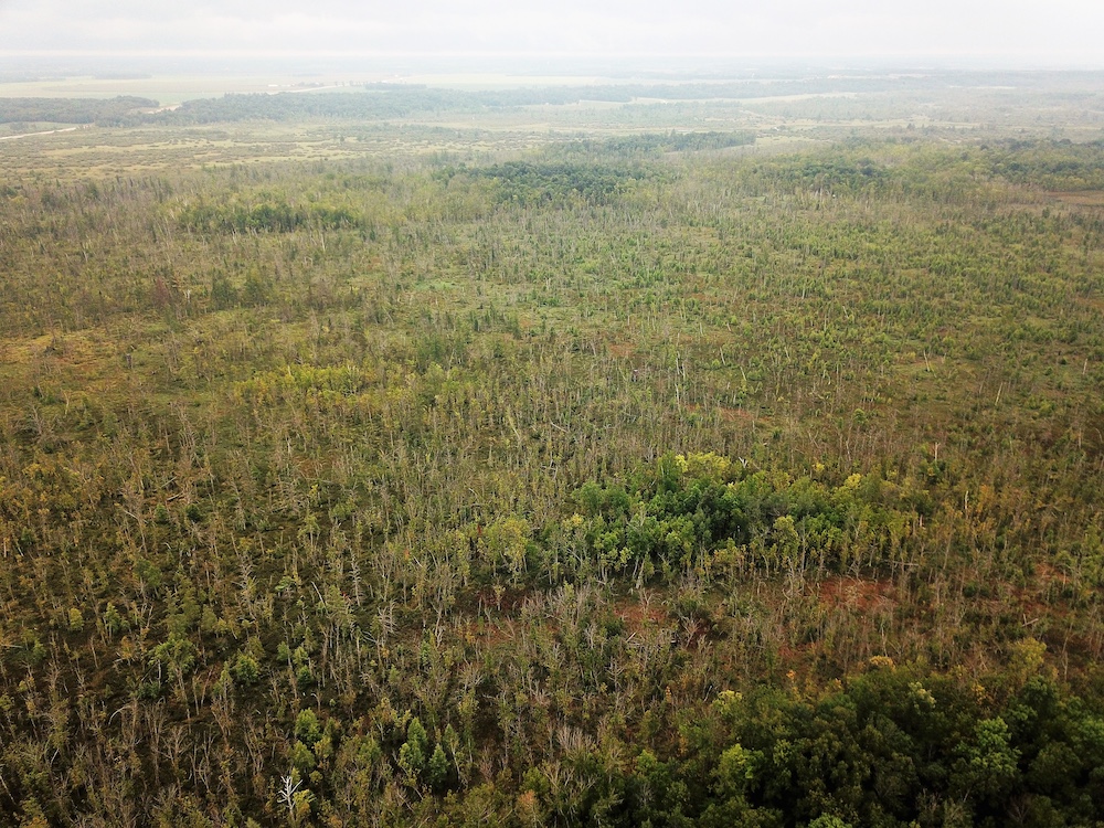
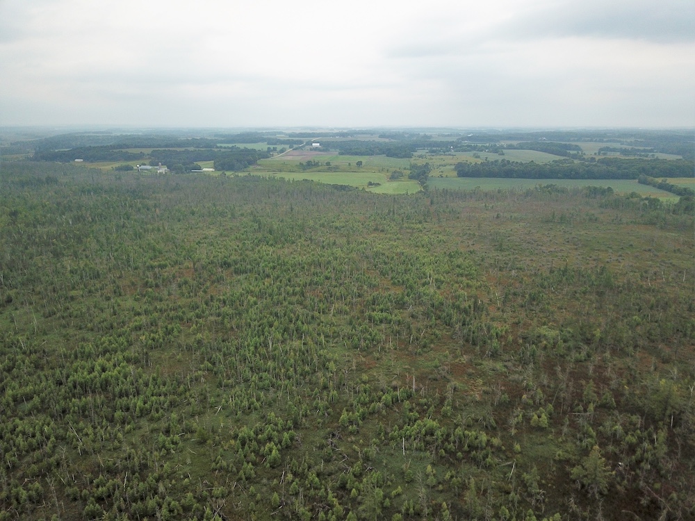
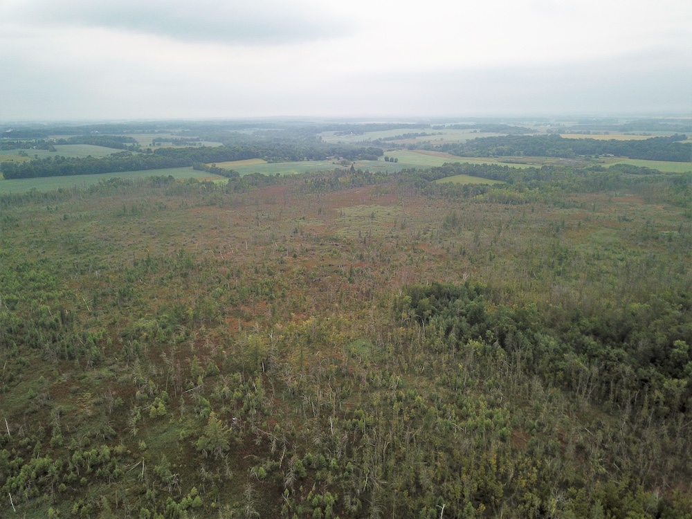
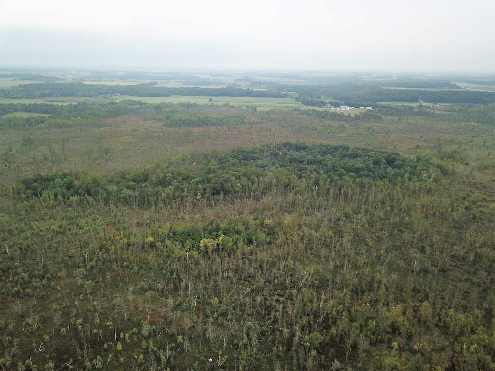
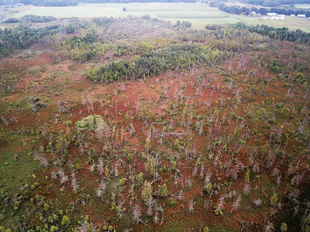
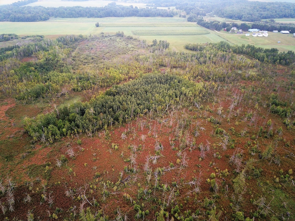
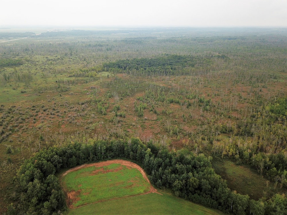
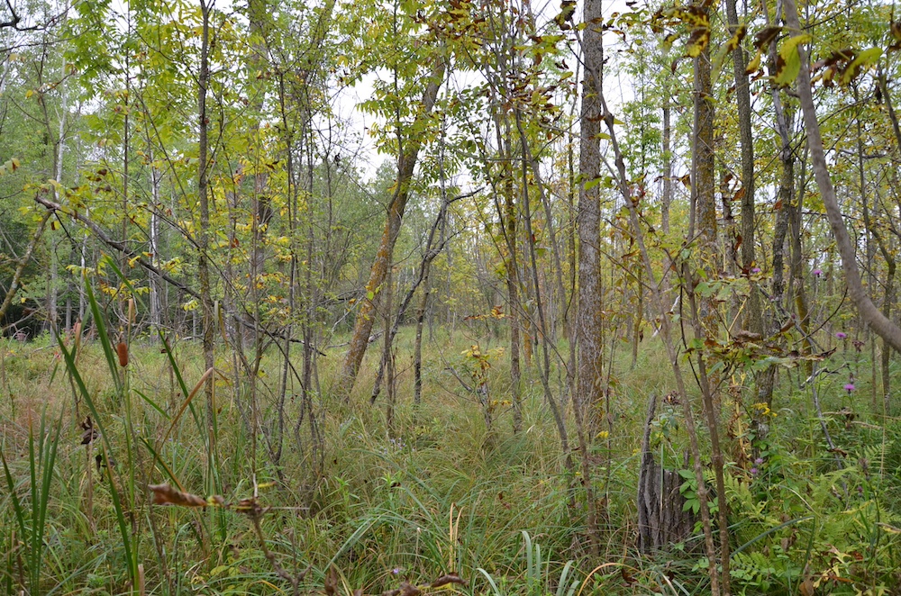
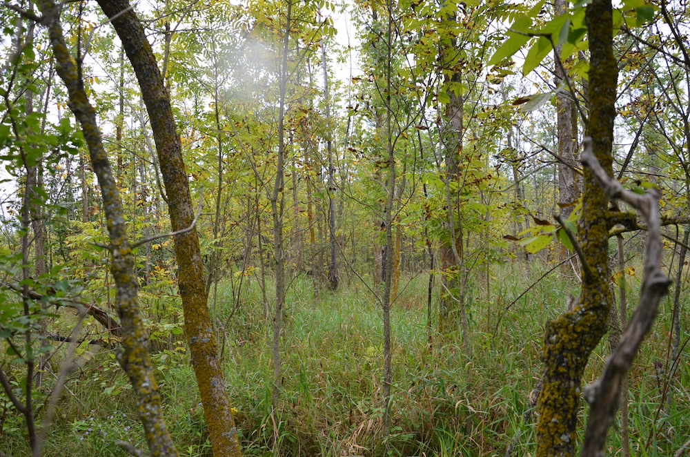
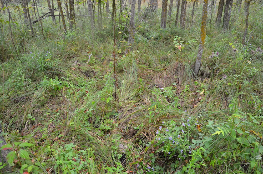
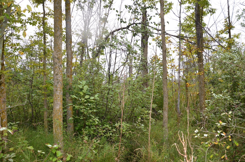
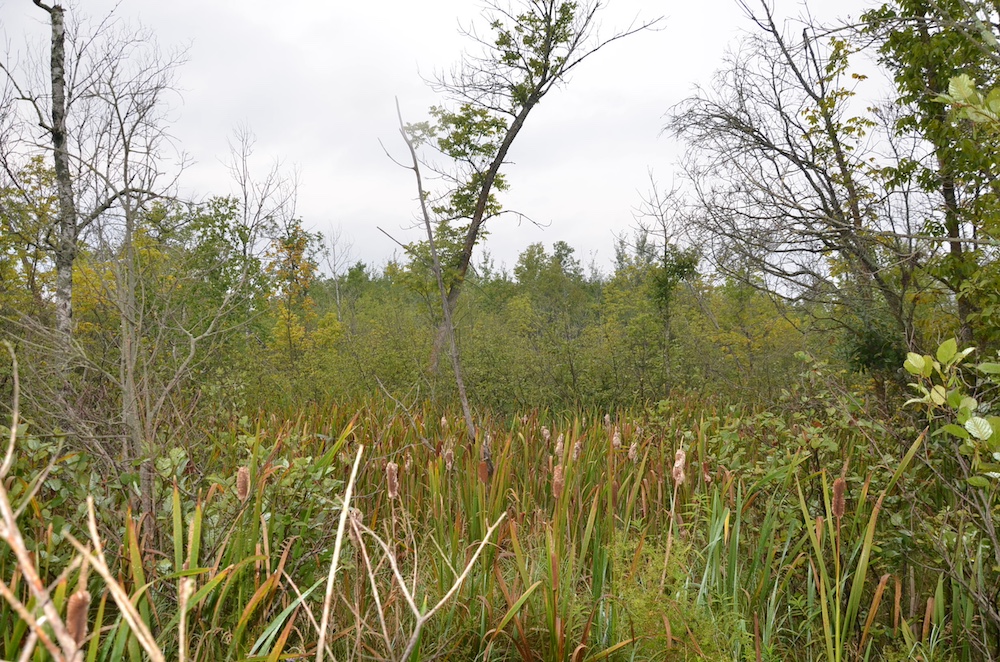
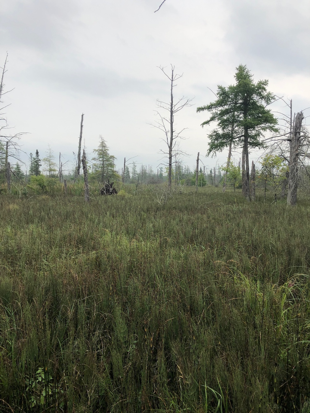
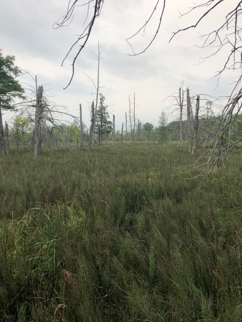
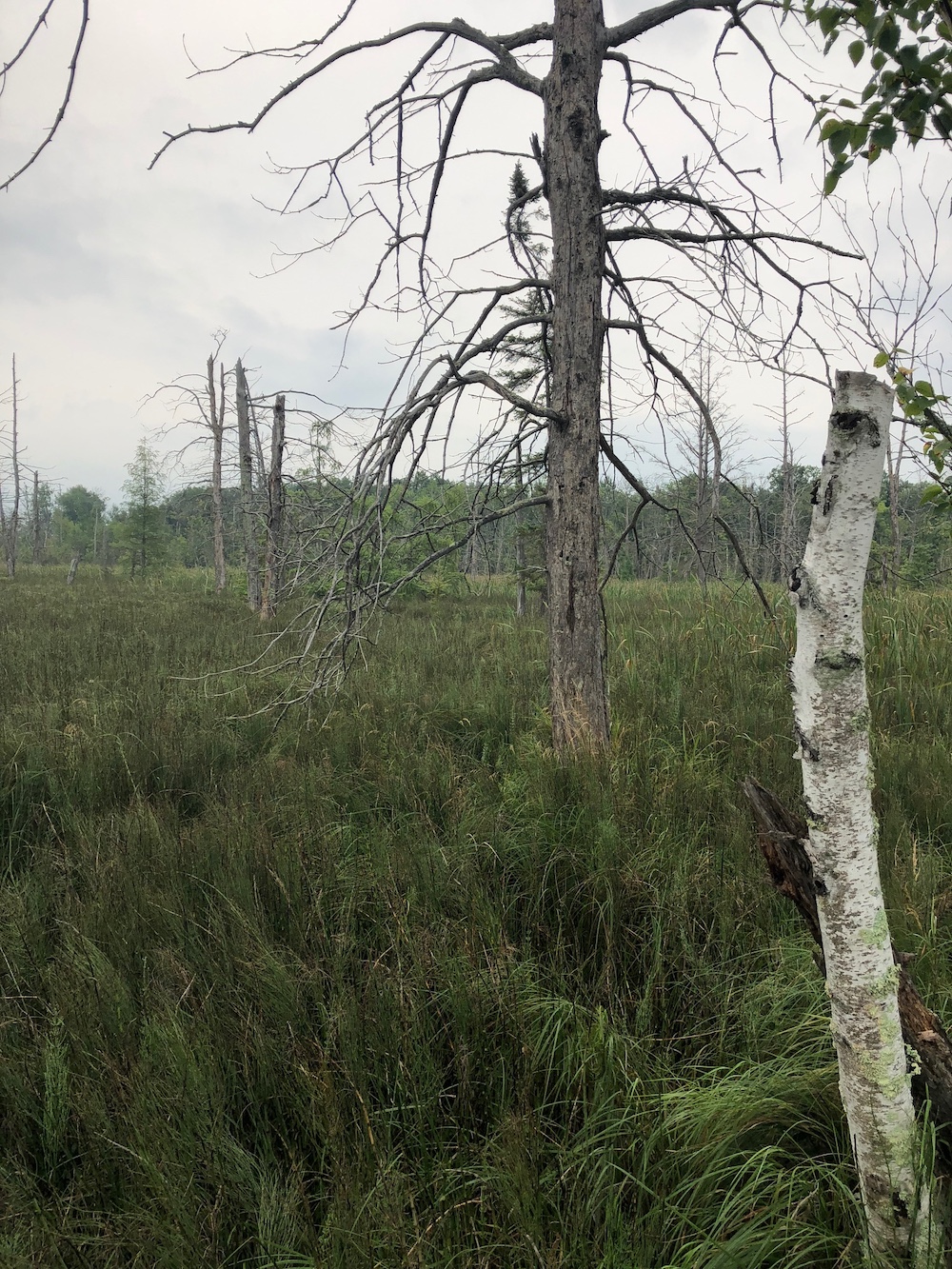
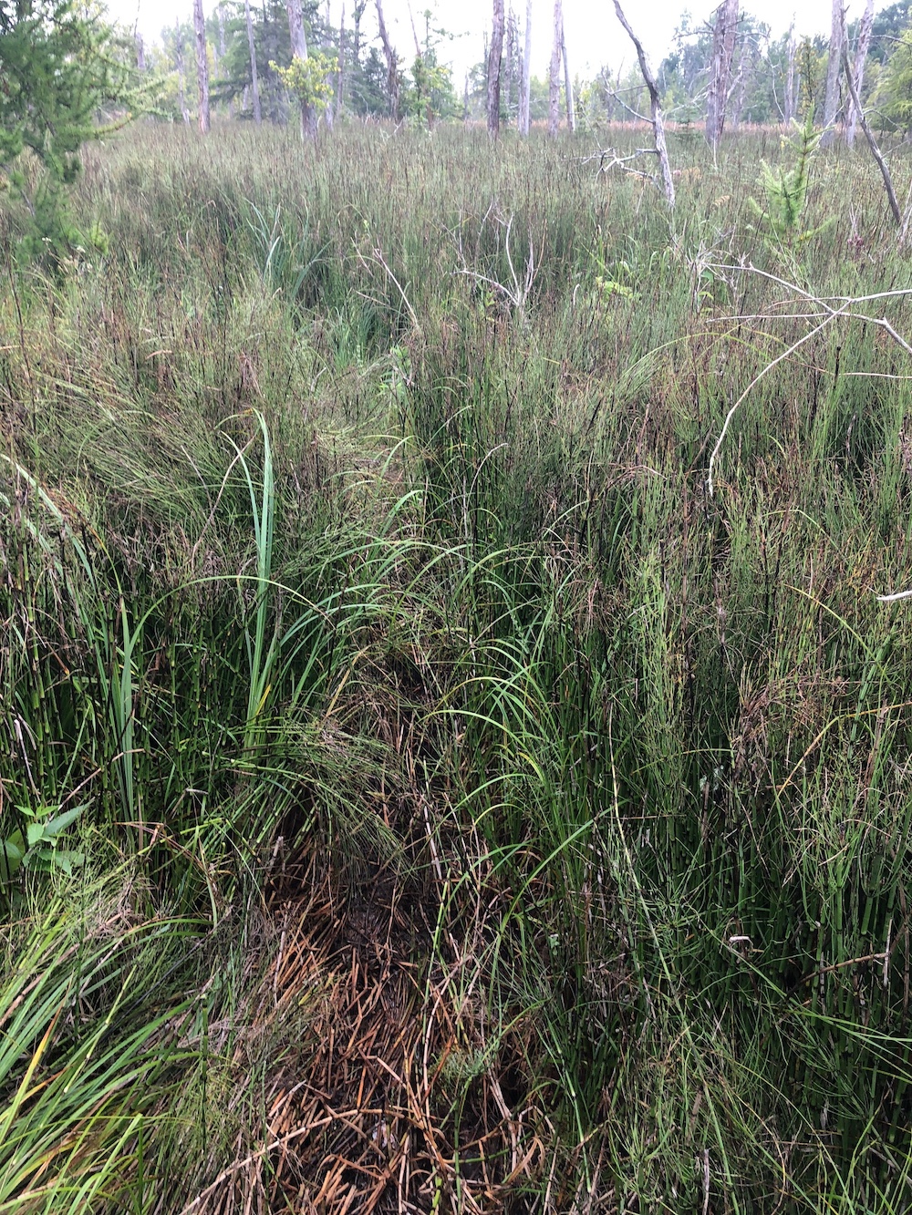
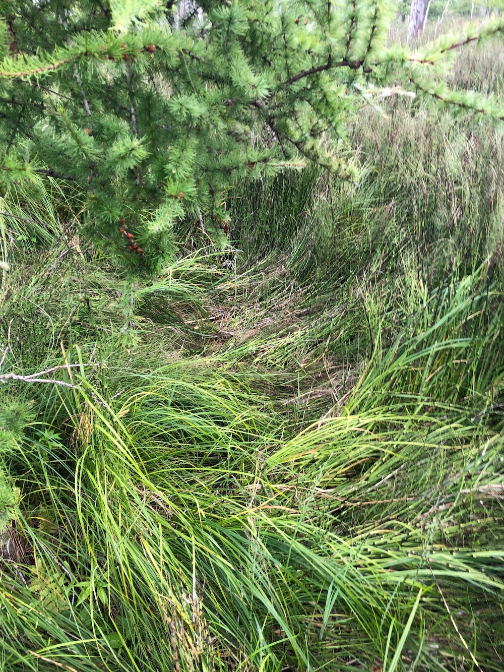
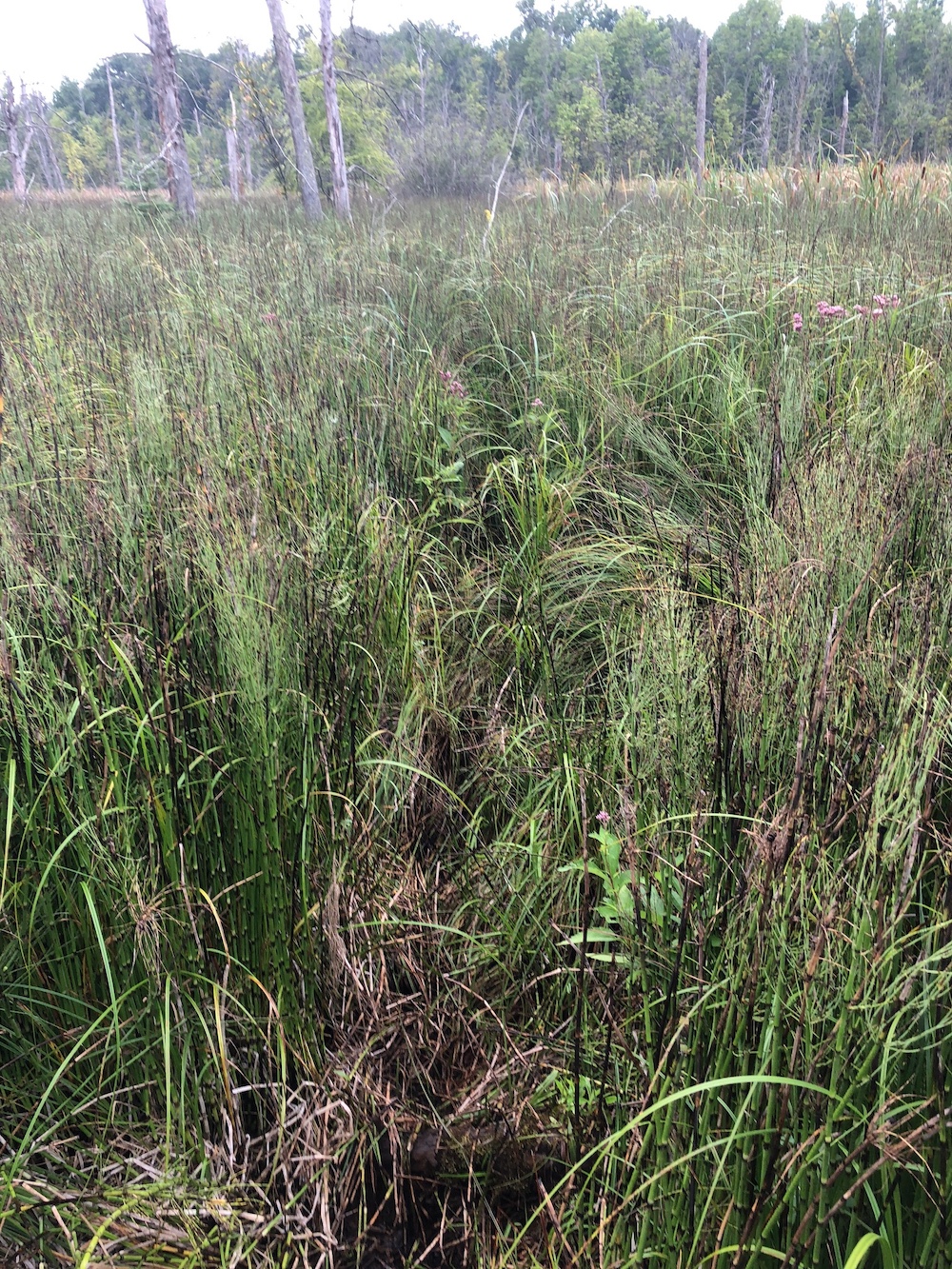
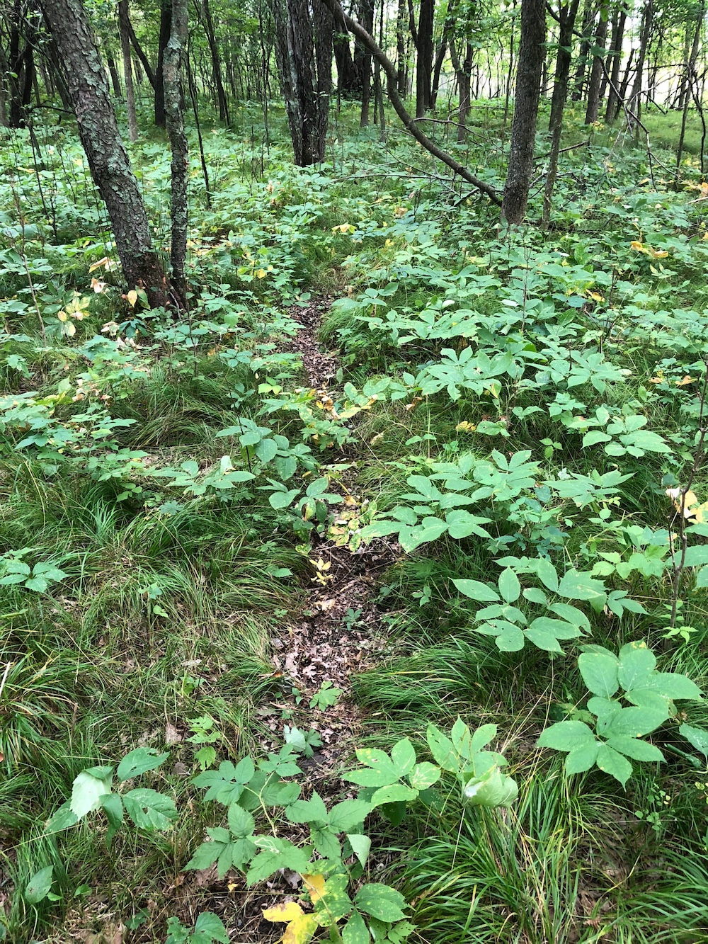
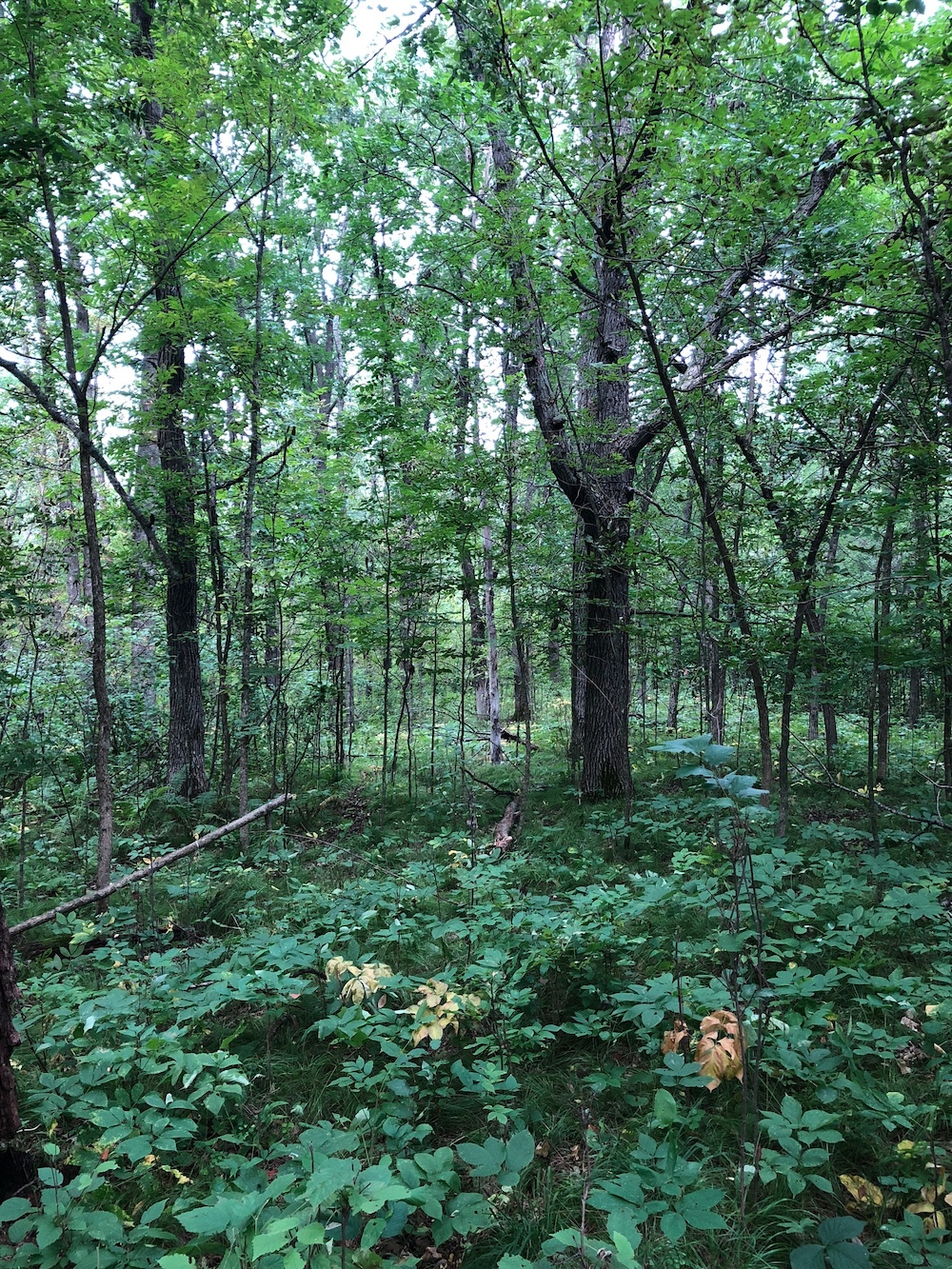
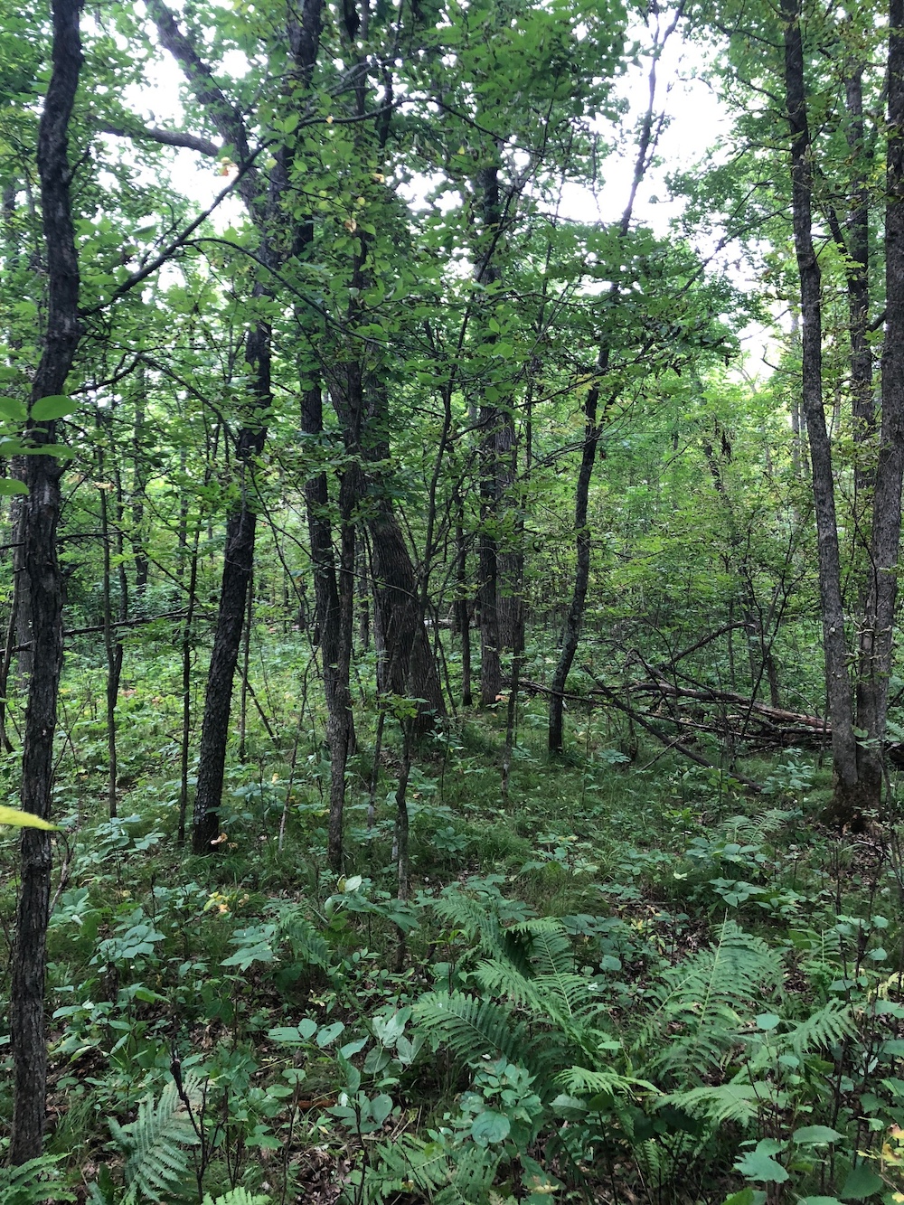
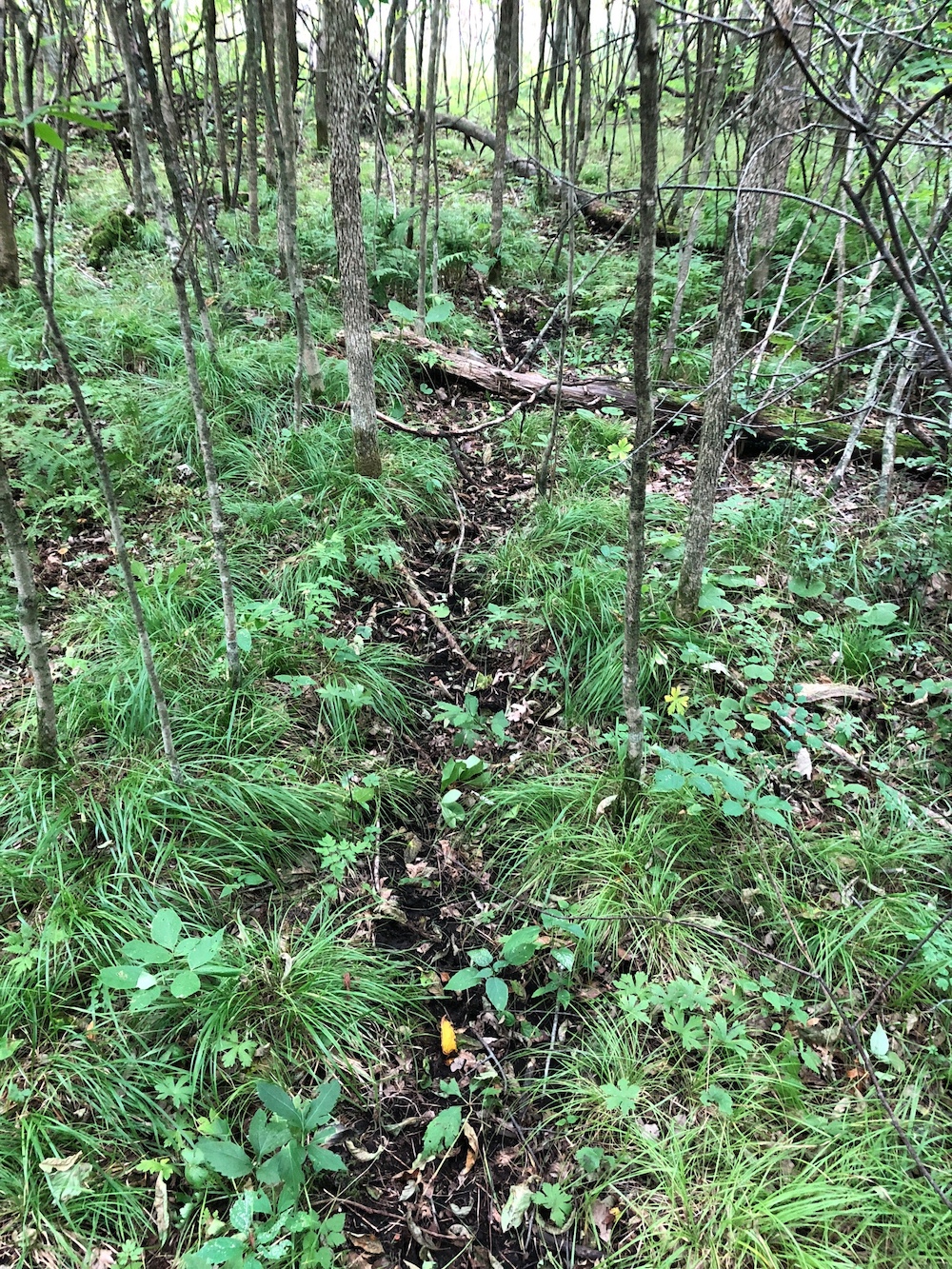
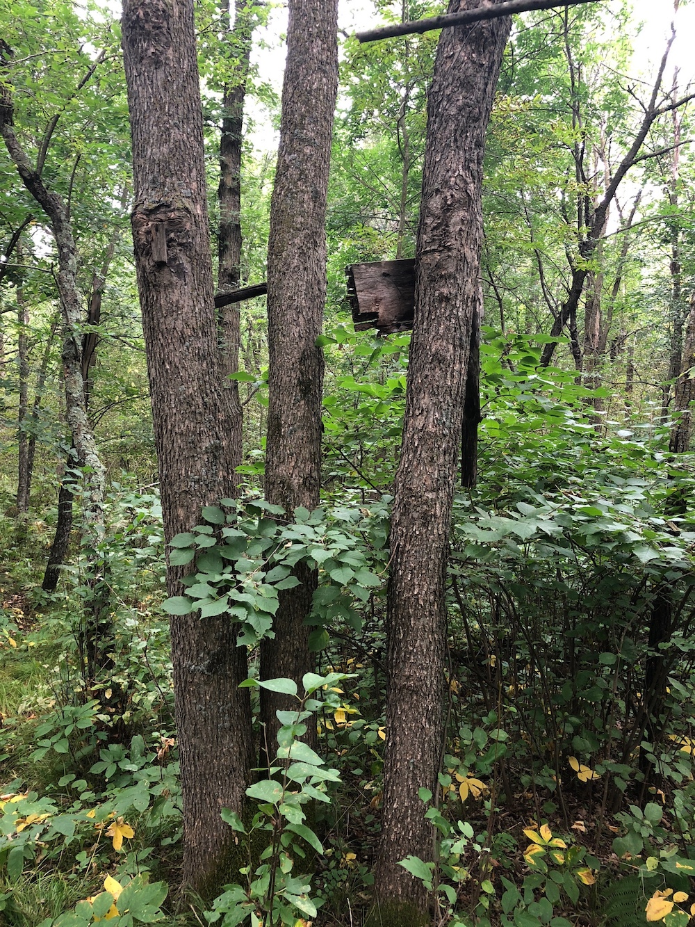
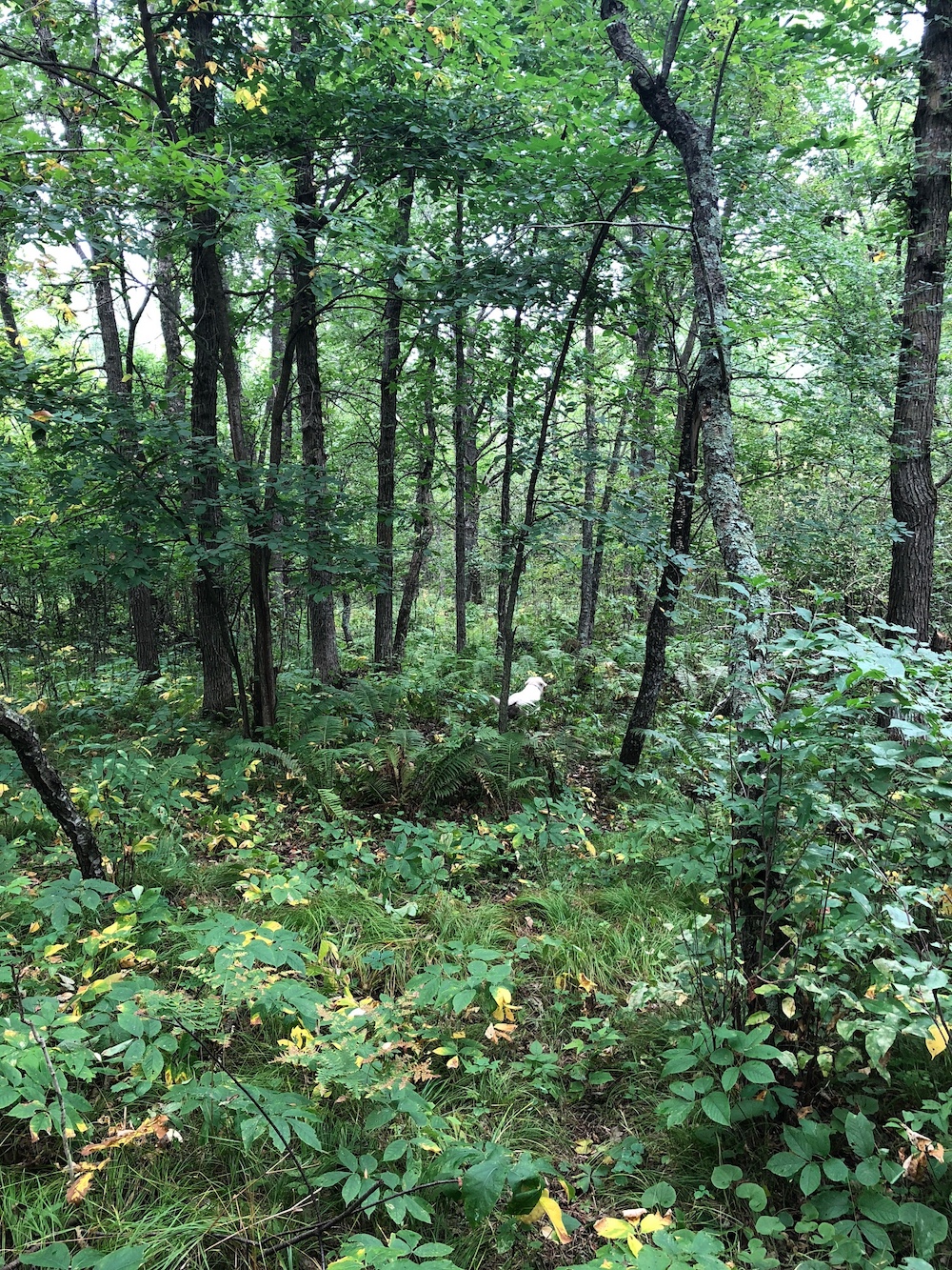
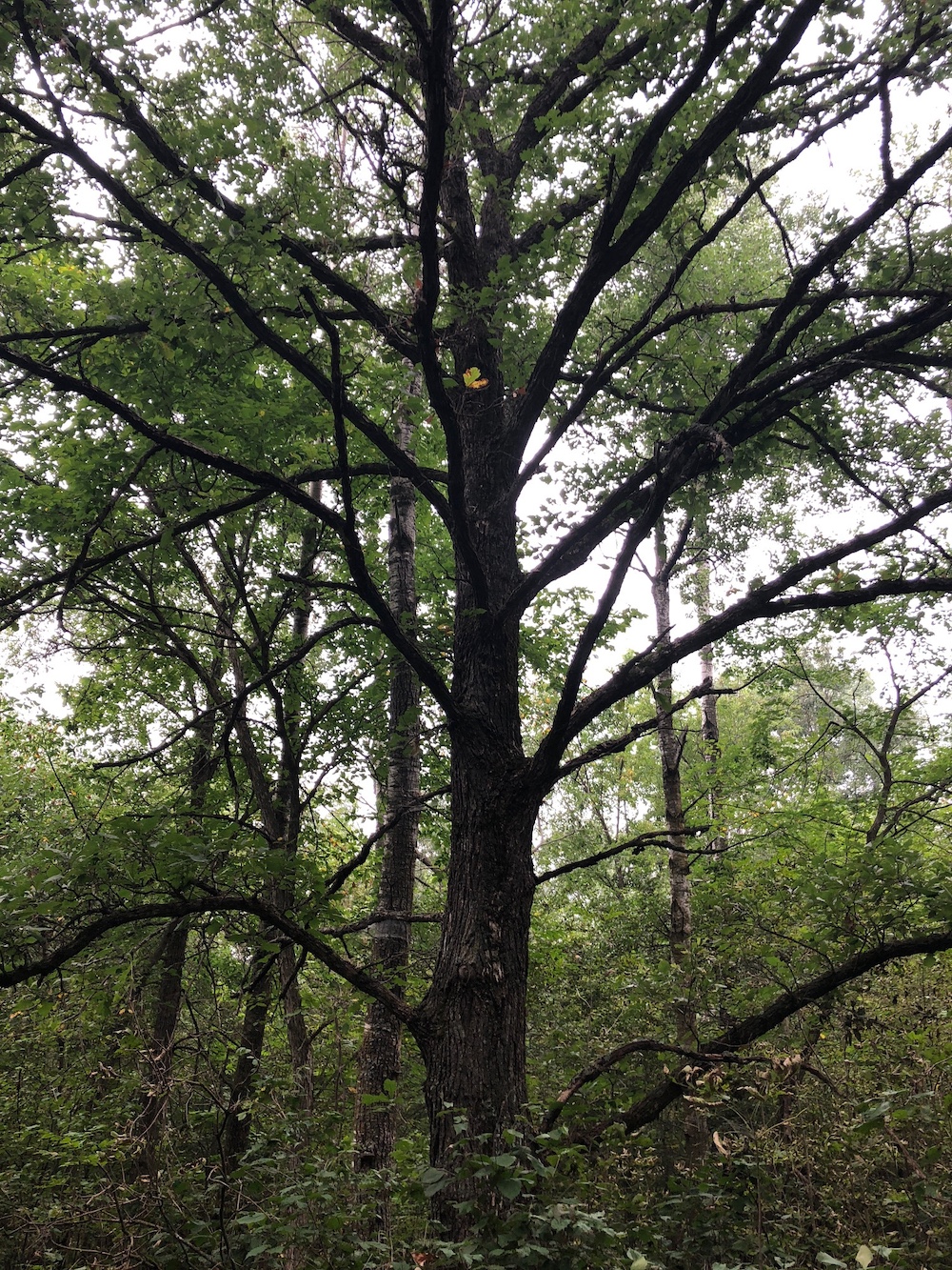
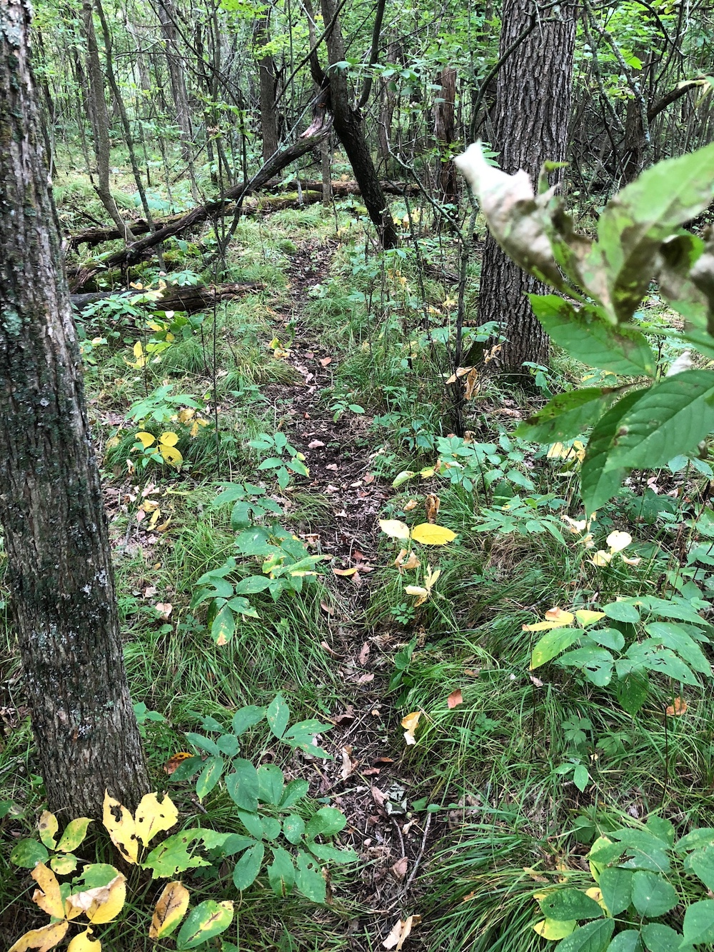
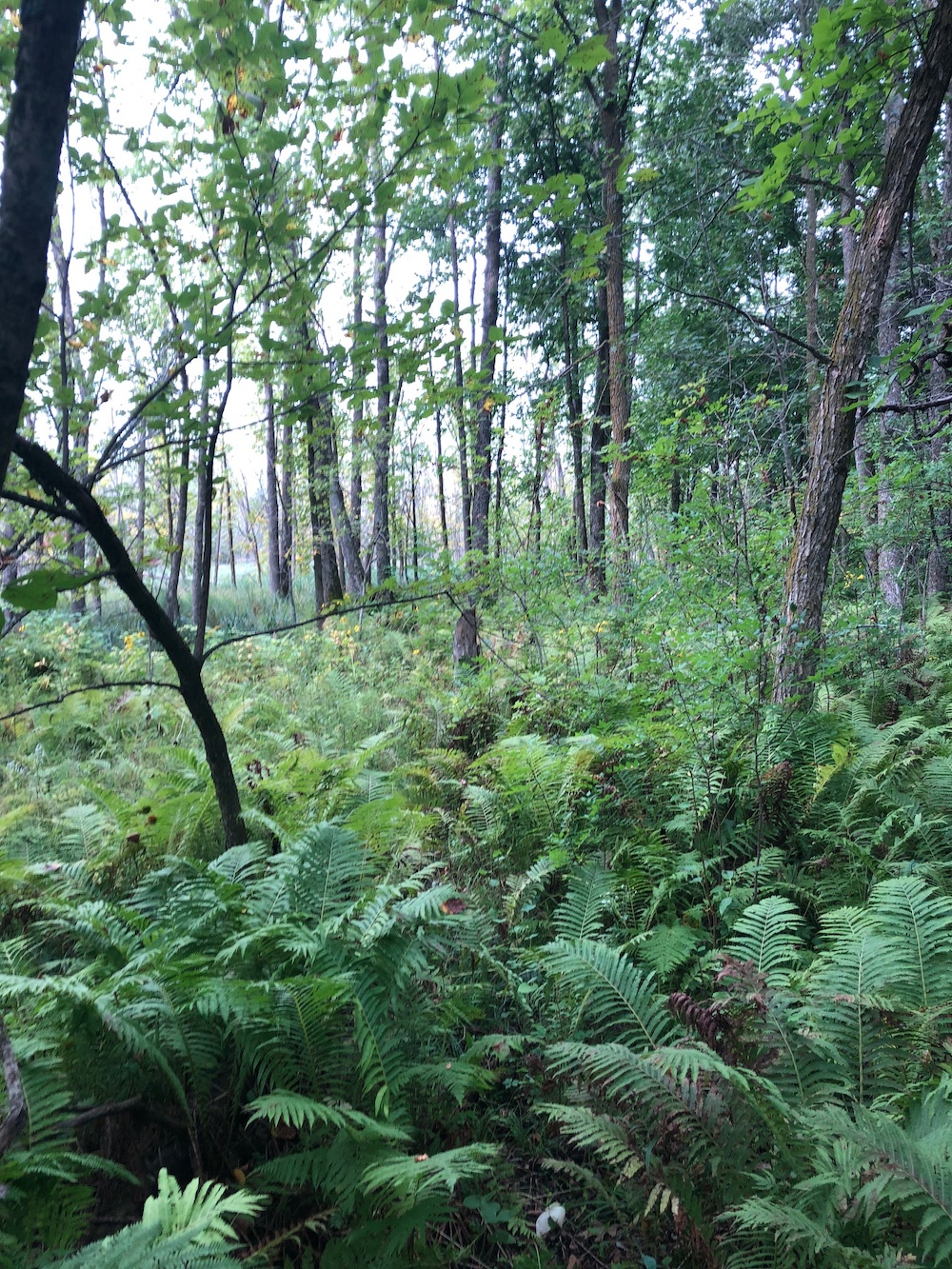
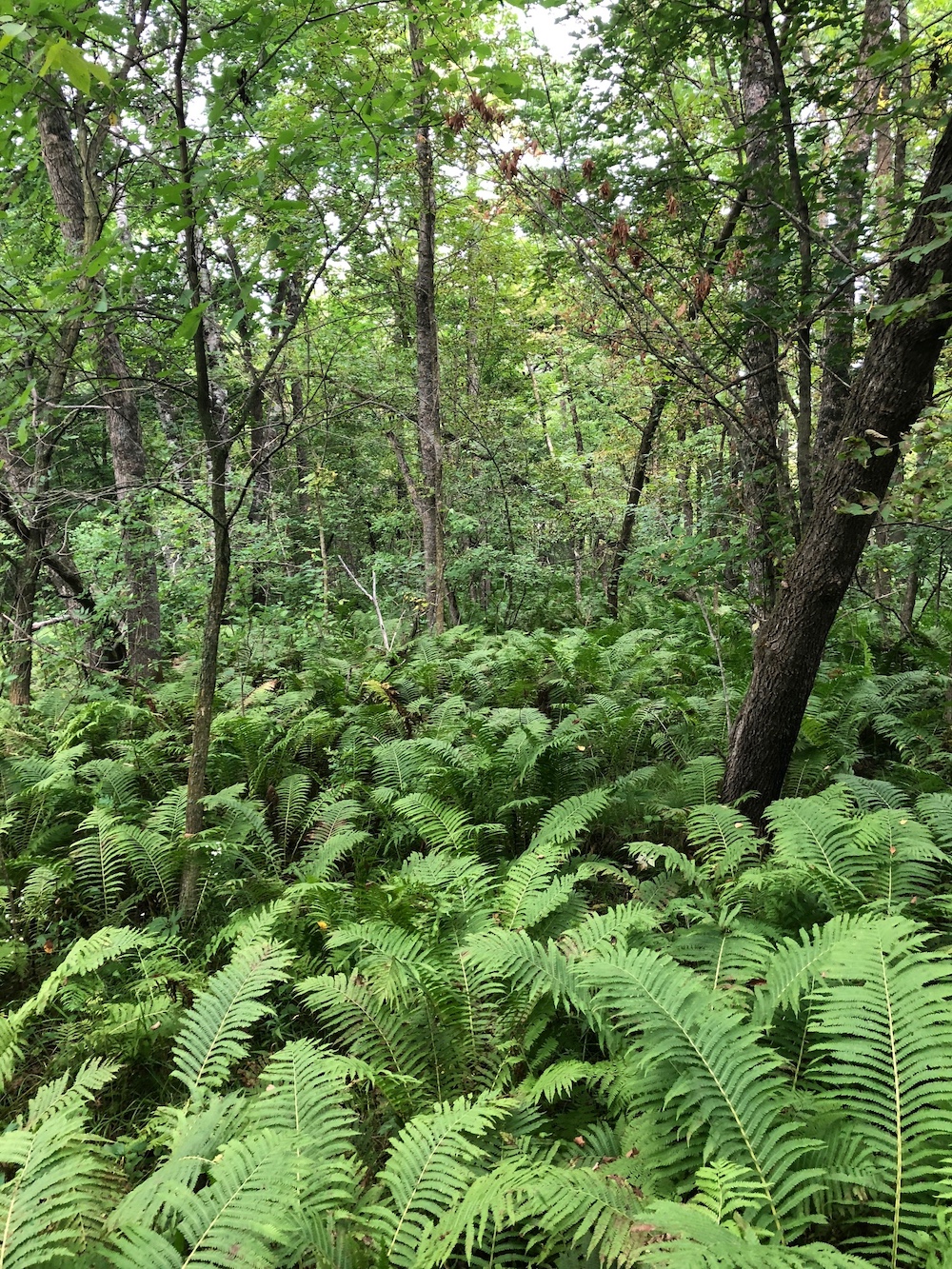
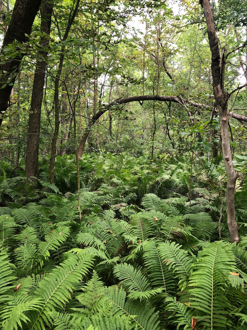
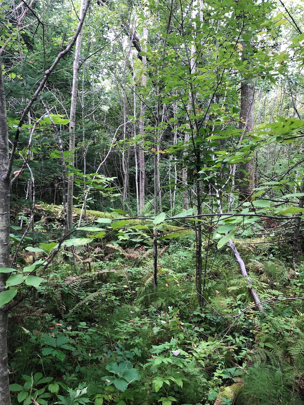
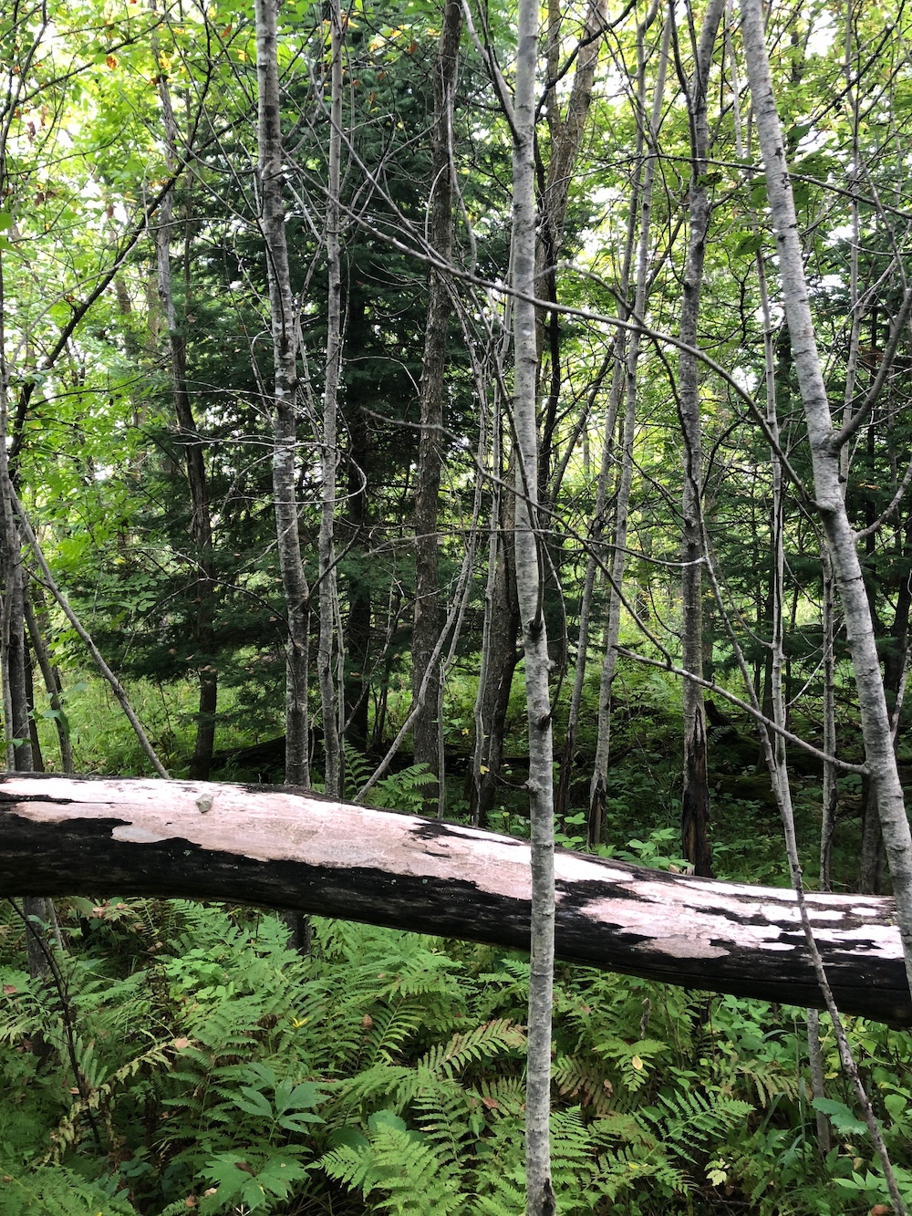
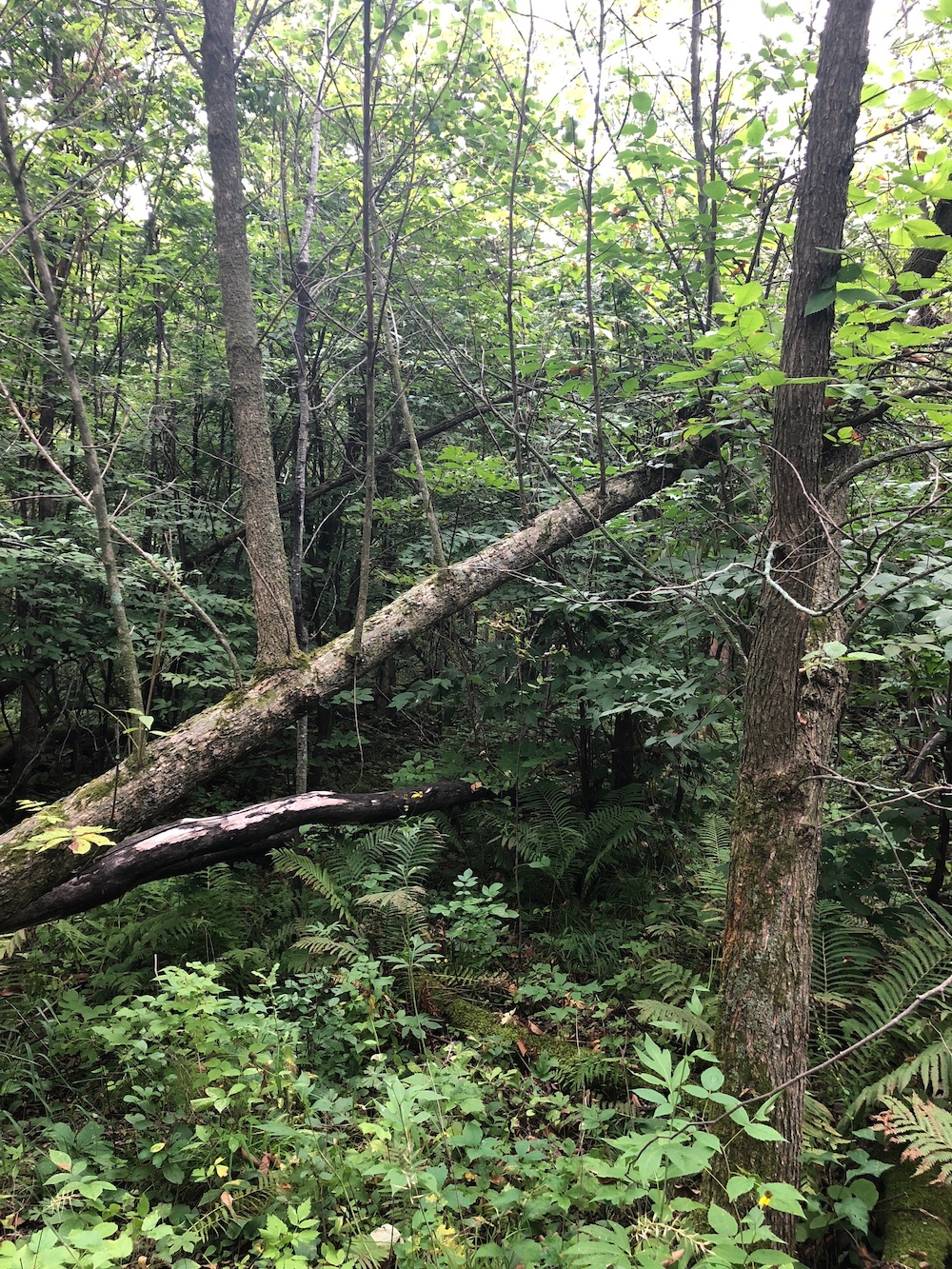
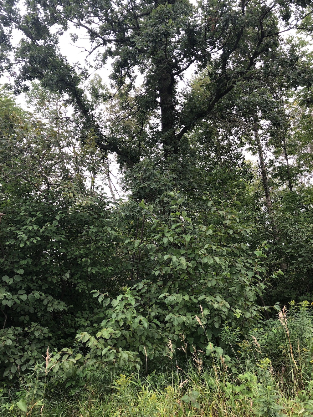
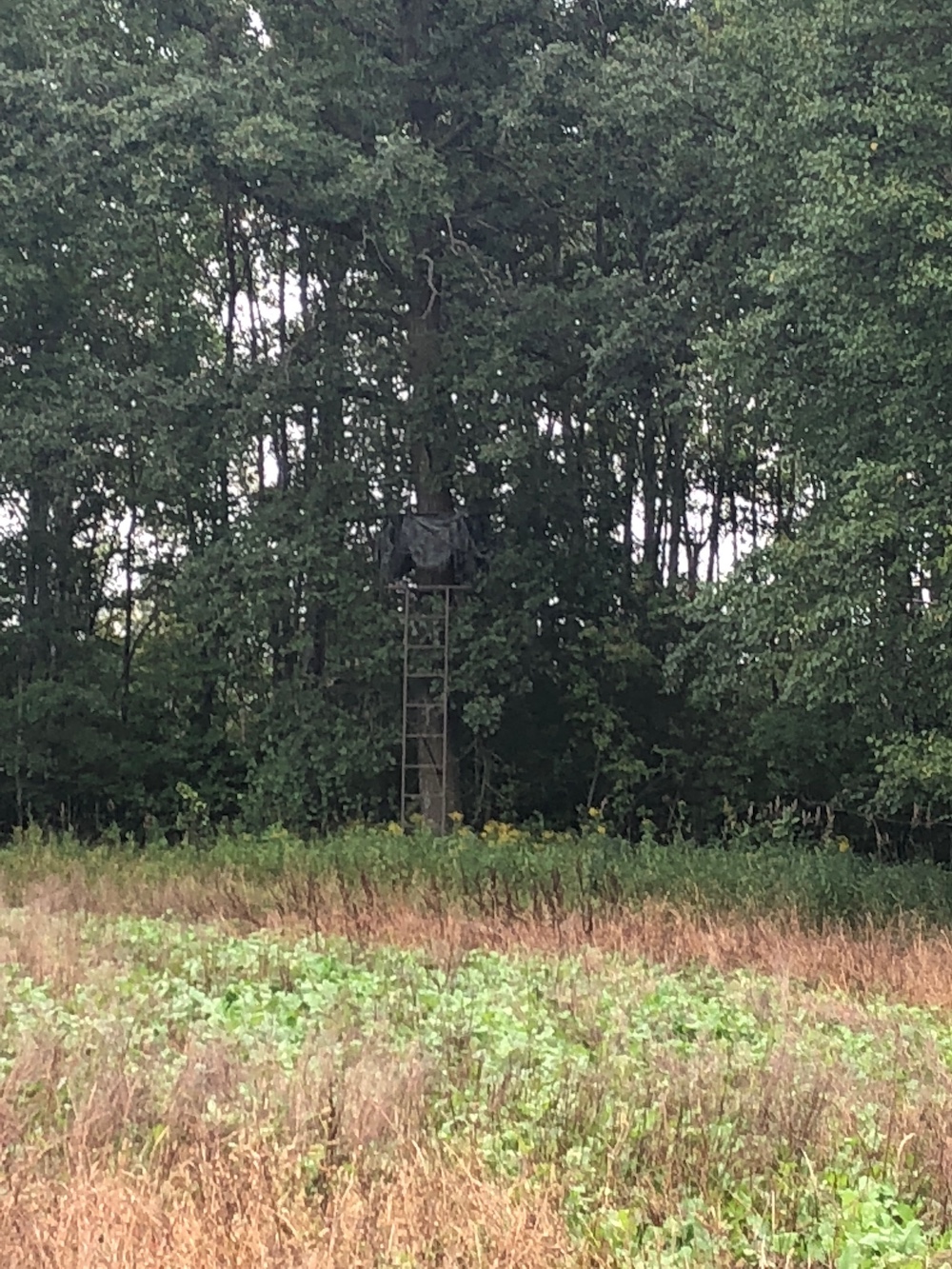
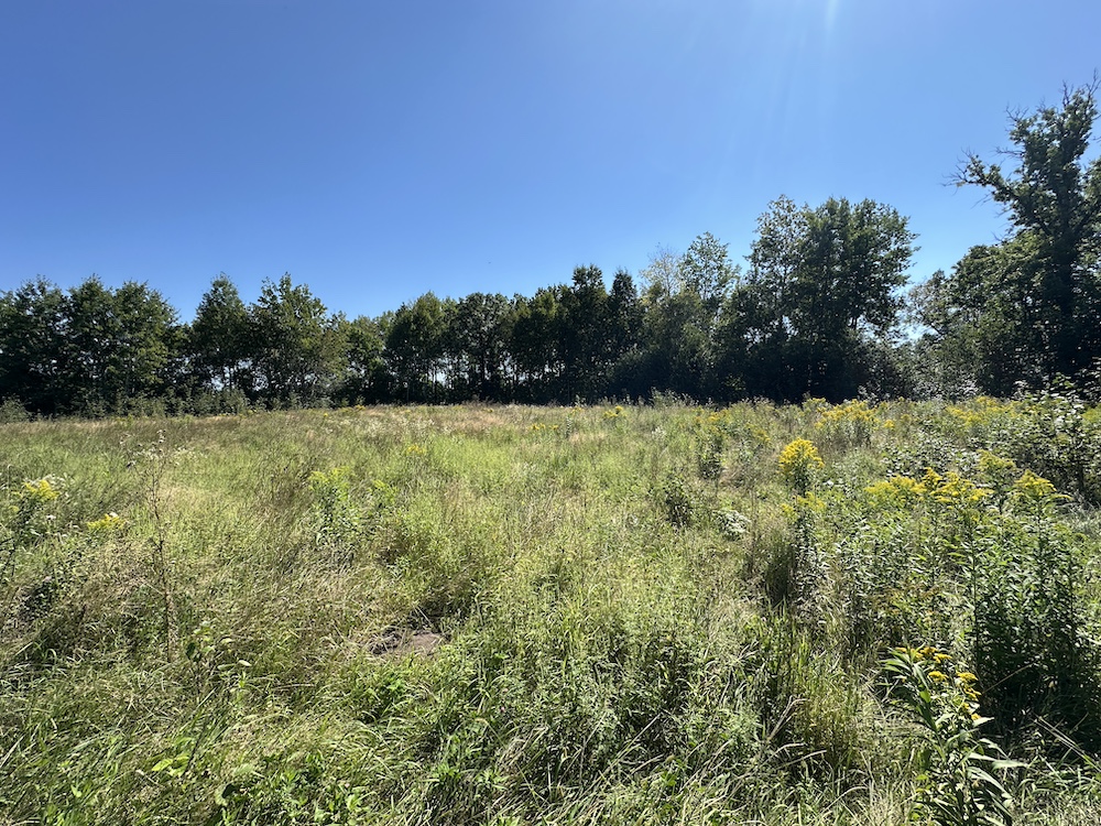
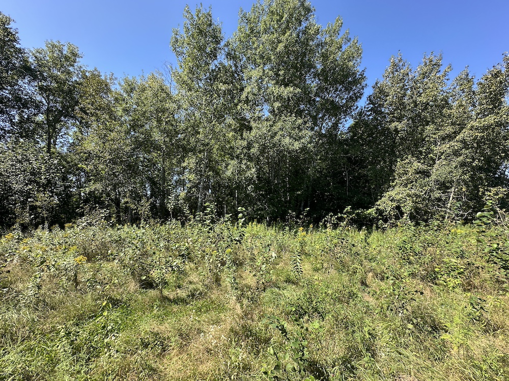
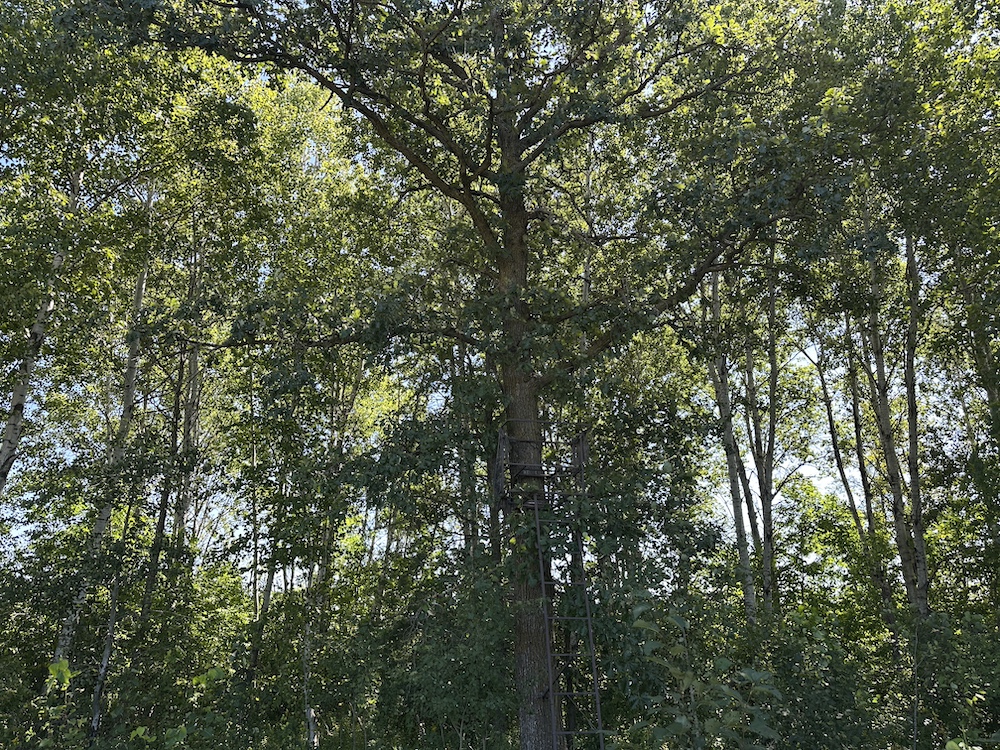
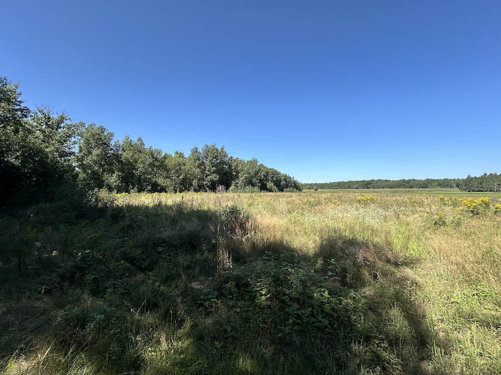
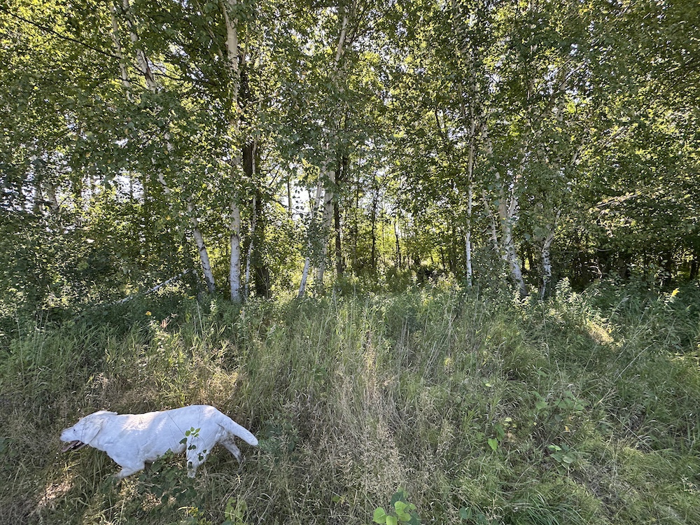
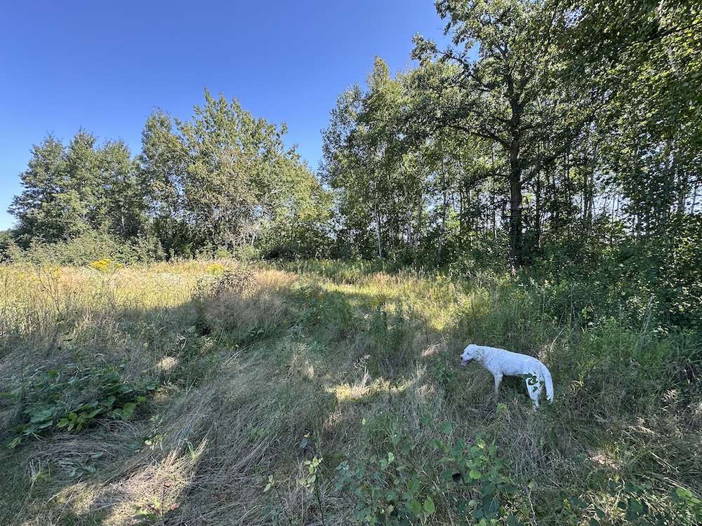
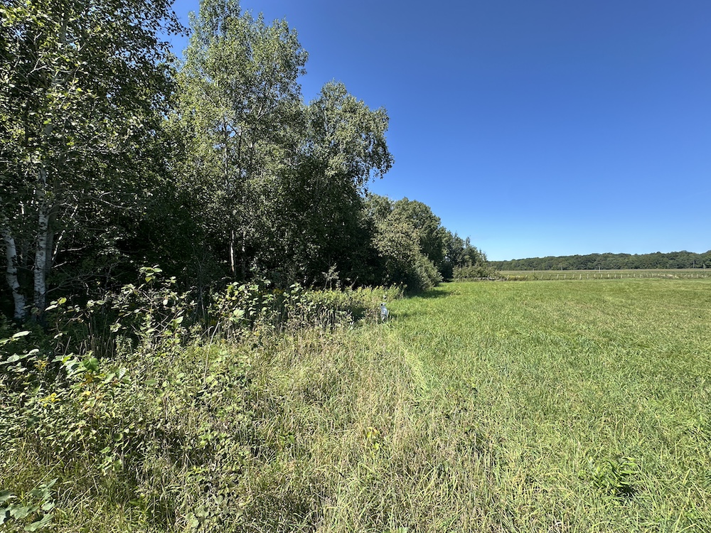
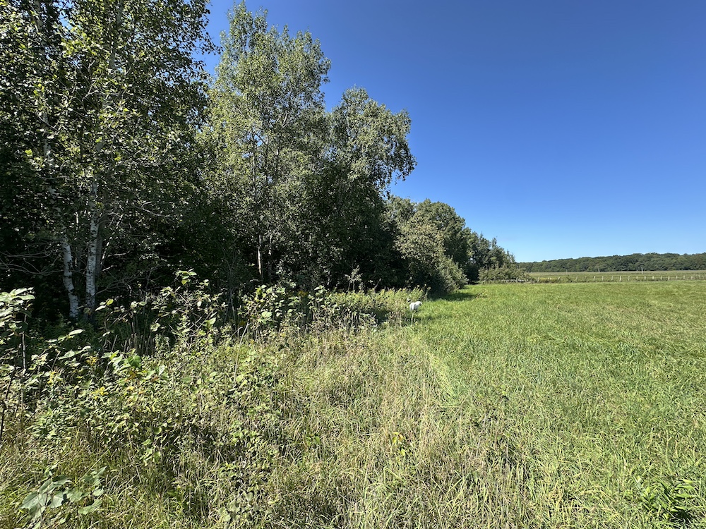
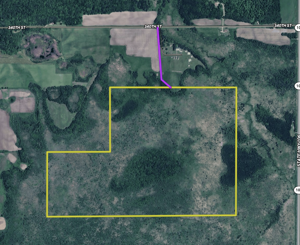
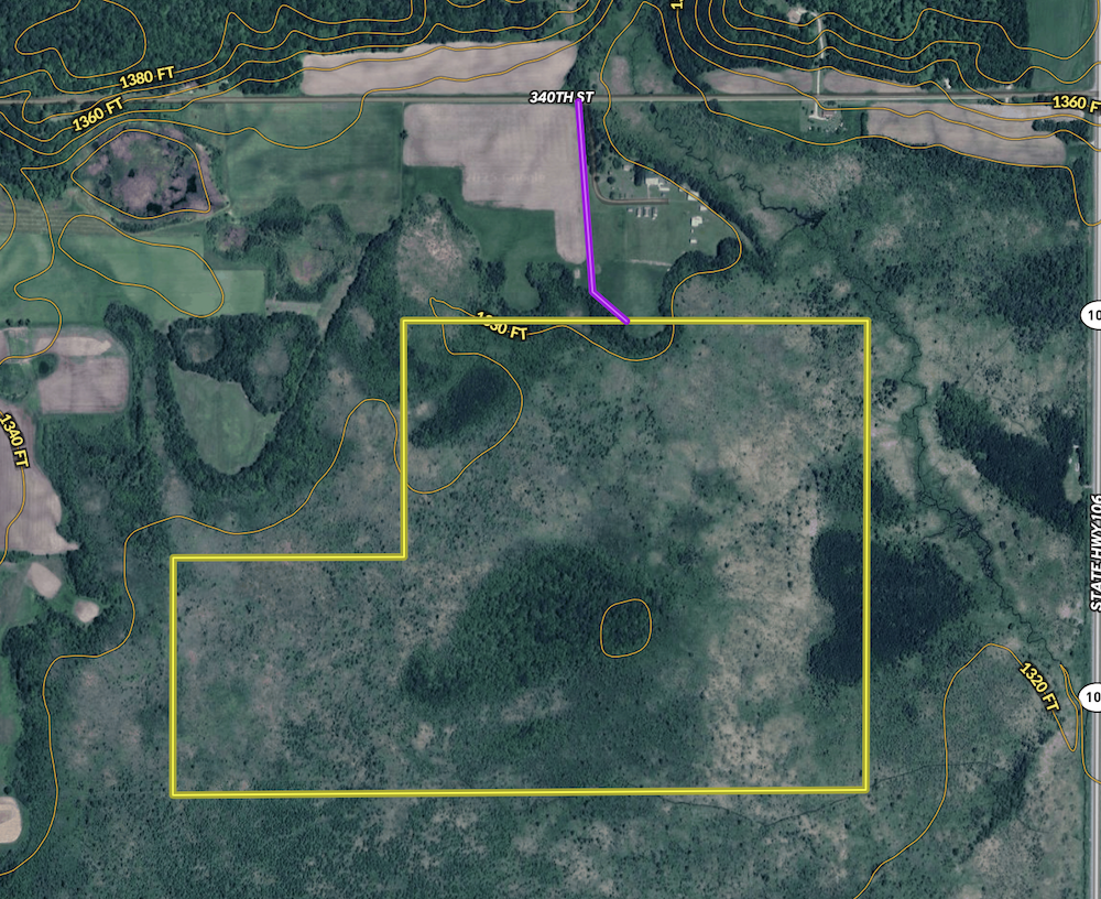
Otter Tail County Leaf River Bottom = Big Deer! I probably don’t need to say much more than that—the reputation of the Leaf River Bottom speaks for itself. Year after year, Boone & Crockett caliber deer are taken along this river system. This property sits just north of the Leaf River and just south of the Finn Creek Museum—two landmarks that should already grab your attention. Now, let’s talk about the property itself. While much of it is low ground that can be difficult to navigate in its current state, that’s exactly why the big bucks call this place home. The crown jewel is the oak island right in the middle of this big-buck sanctuary. I was able to walk out to the island—it wasn’t easy, but it was worth every step. The oaks were full of acorns, and the deer sign was incredible. Add in smaller ash and poplar islands, plus a knife grass flat, and you’ll find this property is more huntable than the aerial photos suggest. With some elbow grease in the winter, when the ground is frozen, access in and out will become much easier. You could stick to hunting the north edge near the food plot area, but trust me—you’ll want to make the effort to reach that oak island. This property isn’t for the faint of heart, but if you’re up for a challenge and willing to put in the work, the reward could be the hunt of a lifetime.
Summary
Address
Activities on Property
Land Type
Nearby Features
Minerals
Waterfront
Wild Game
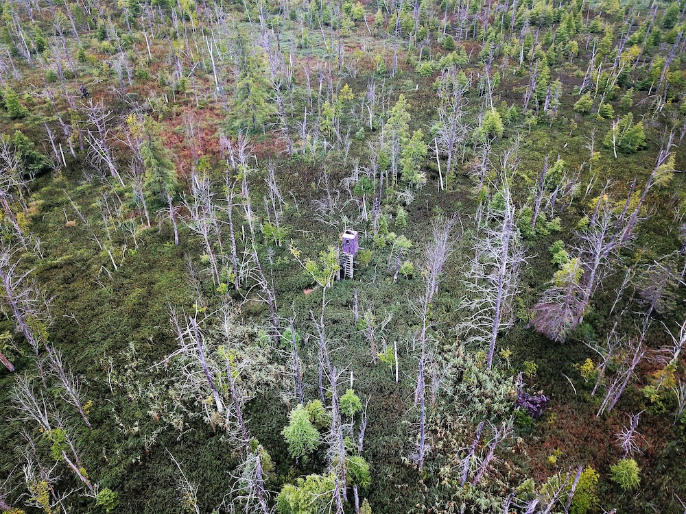
Recent Property Improvements
Road Frontage
Improvements/Features
Roads
Road Surface
Property Type
Land and Farm Property Types
Land Details
Tillable/Production Areas
Details
- Located just north of the Leaf River and south of the Finn Creek Museum
- Area renowned for producing trophy-caliber bucks year after year
- Majority of the property is low ground—ideal cover and sanctuary for big deer
- Oak island in the heart of the property, dropping acorns and covered in deer sign
- Smaller ash and poplar islands scattered across the tract
- Knife grass flat providing unique cover and habitat diversity
- Established stand and food plot area on the north edge for easier hunting access
- Remote, challenging terrain—perfect for serious hunters seeking seclusion
- Improved access possible in winter months with frozen ground, making entry and exit easier
- Outstanding potential for deer, turkey, grouse, pheasant, and even bear hunting
Other
Coordinates
Annual Taxes
Sold Property
For more information or to see additional properties currently for sale see Jason Ziegler's listings.