Ralls County
Ralls County Hunting Farm With Excellent Habitat
TBD State Highway H Center, MO 63436
Media
Description
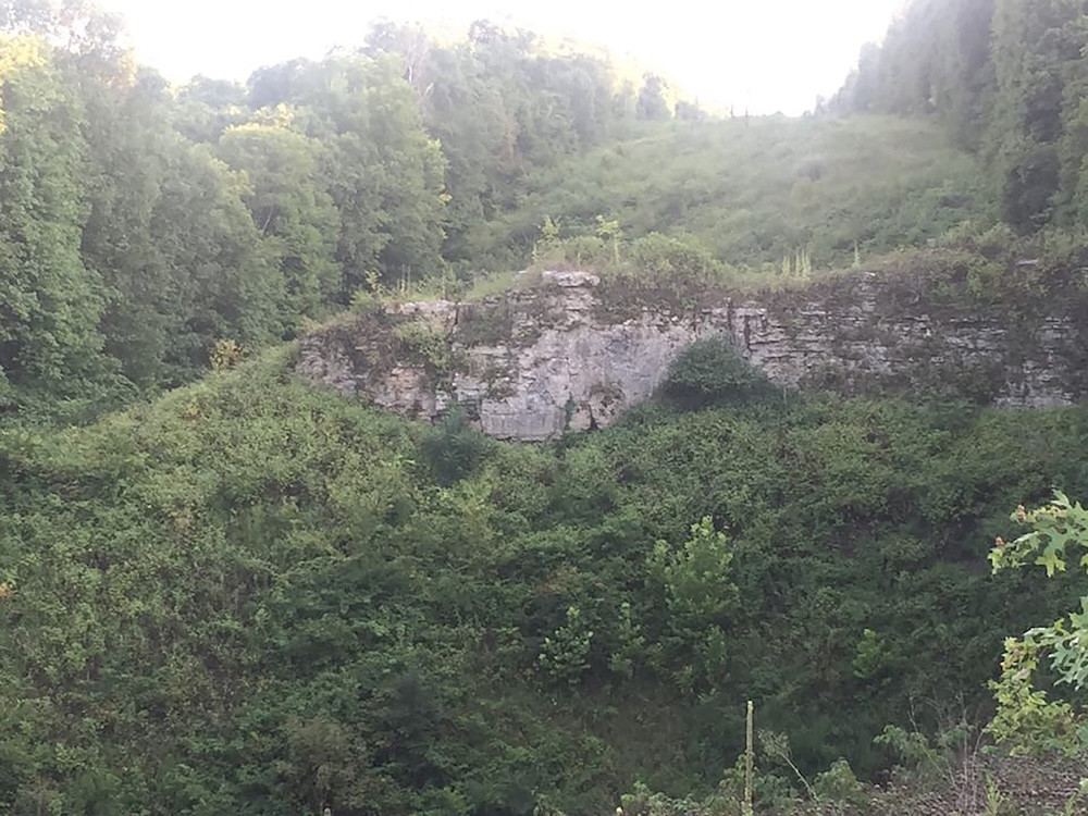
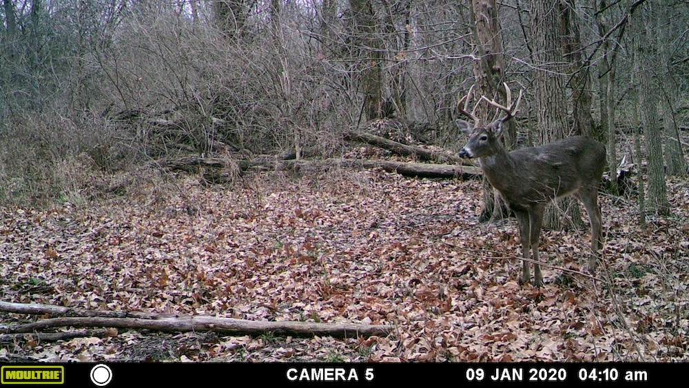
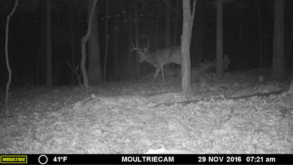
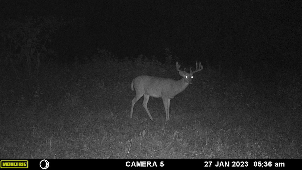
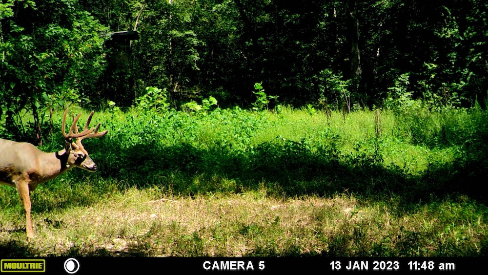
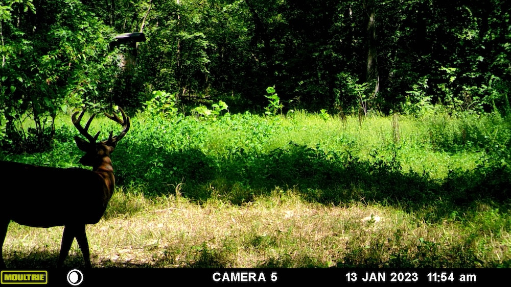
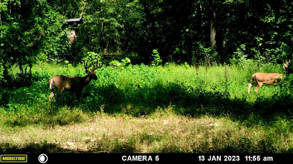
The first time I walked this 93.4-acre +/- Ralls County property with the landowner's son, it did not take long for me to recognize the hunting and habitat potential this farm has to offer. The combination of secluded open areas, hardwood timber, two rocky runoff creeks, a power line cut, elevation changes, natural shelves, and established deer sign creates the type of layout an experienced hunter will appreciate. The property has been owned and hunted by the seller's family for many years, but it has seen less hunting and habitat management over the past couple of seasons. In my opinion, bringing the open areas back into a focused food plot program would complement an already strong habitat base and could take this hunting property to another level.
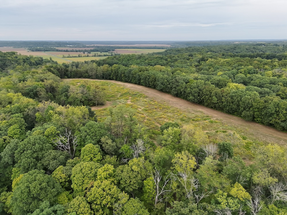
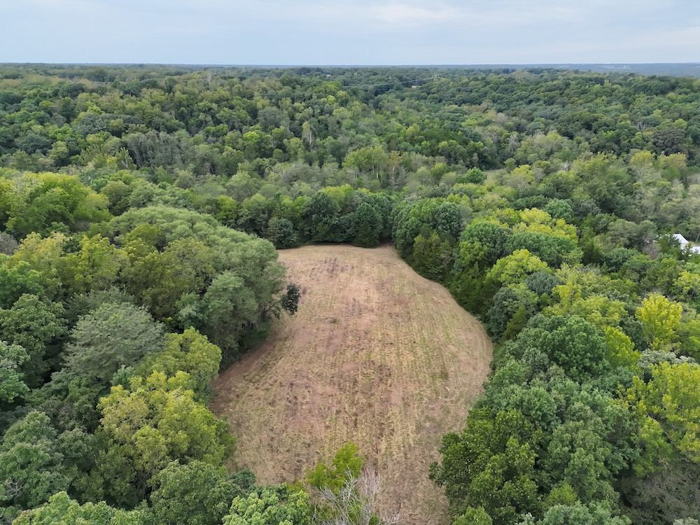
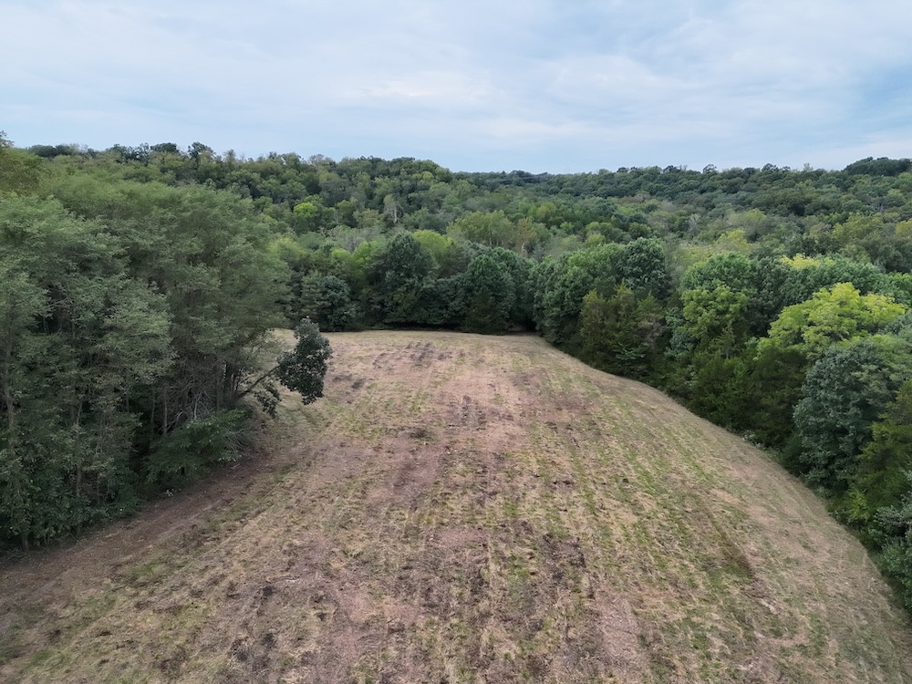
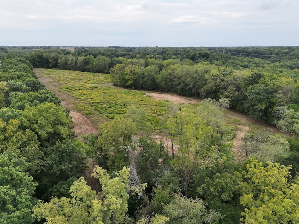
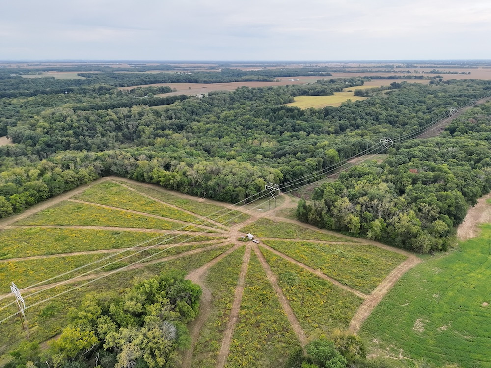
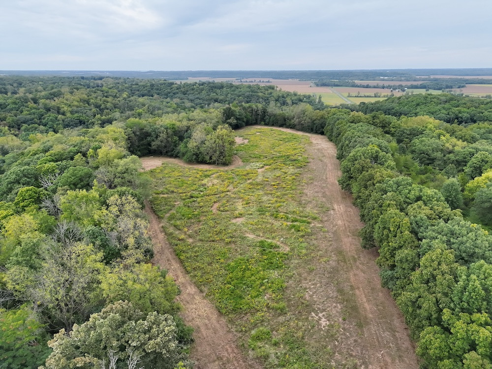
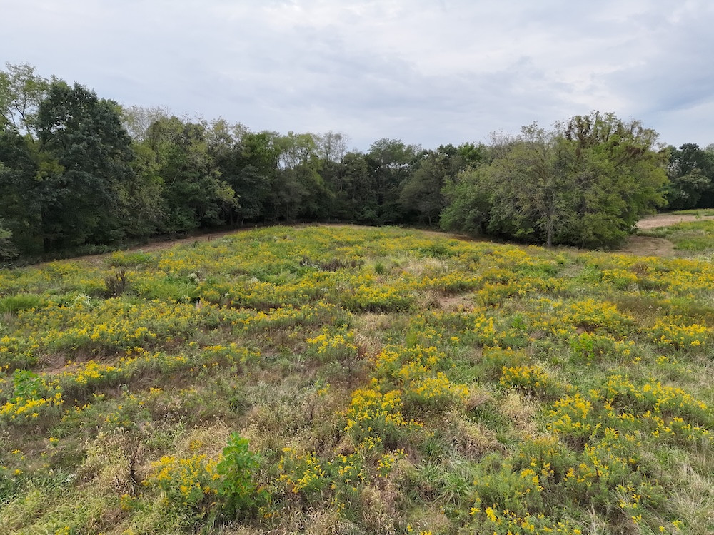
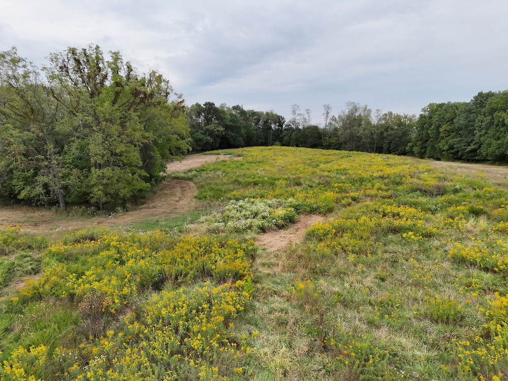
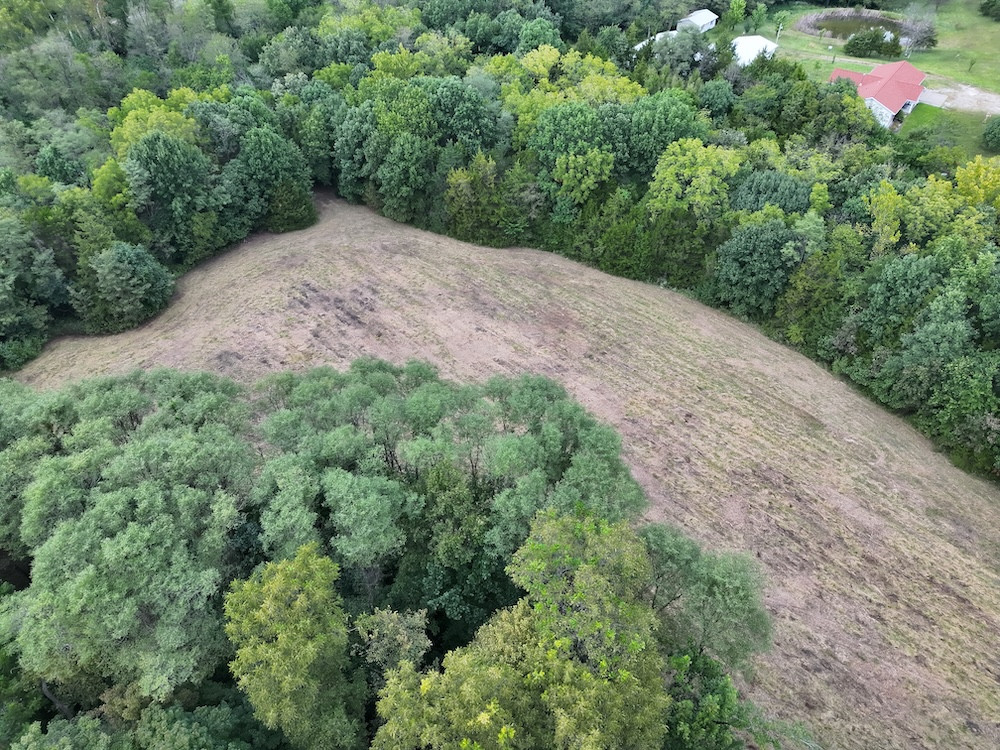
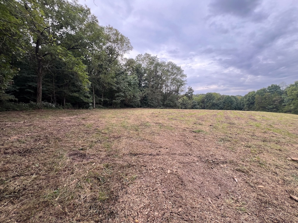
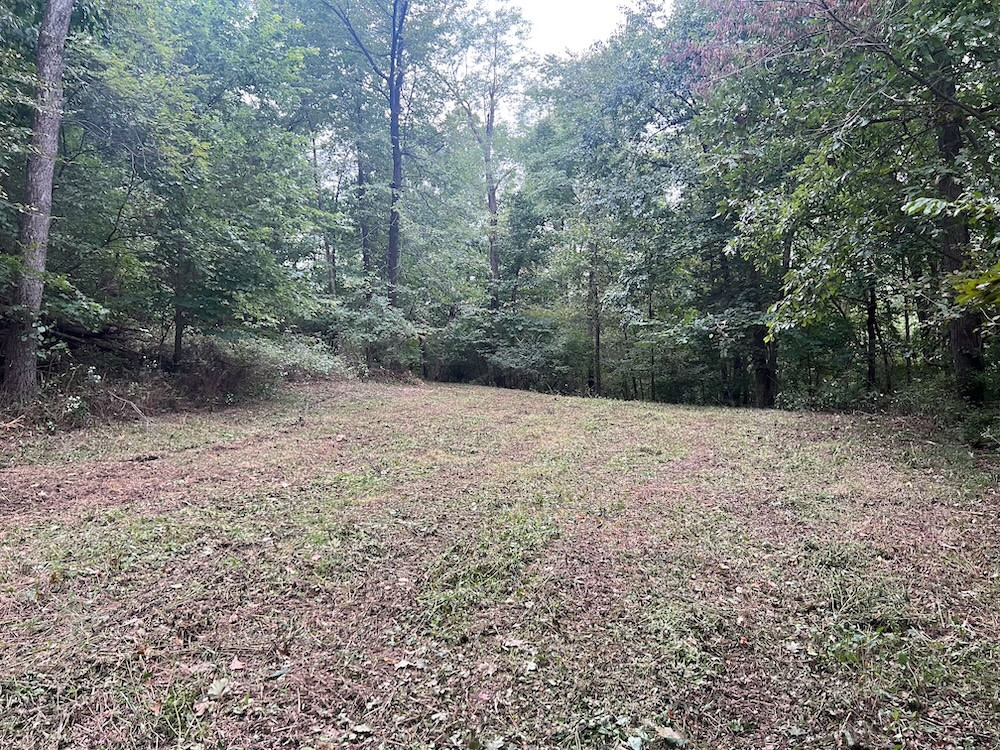
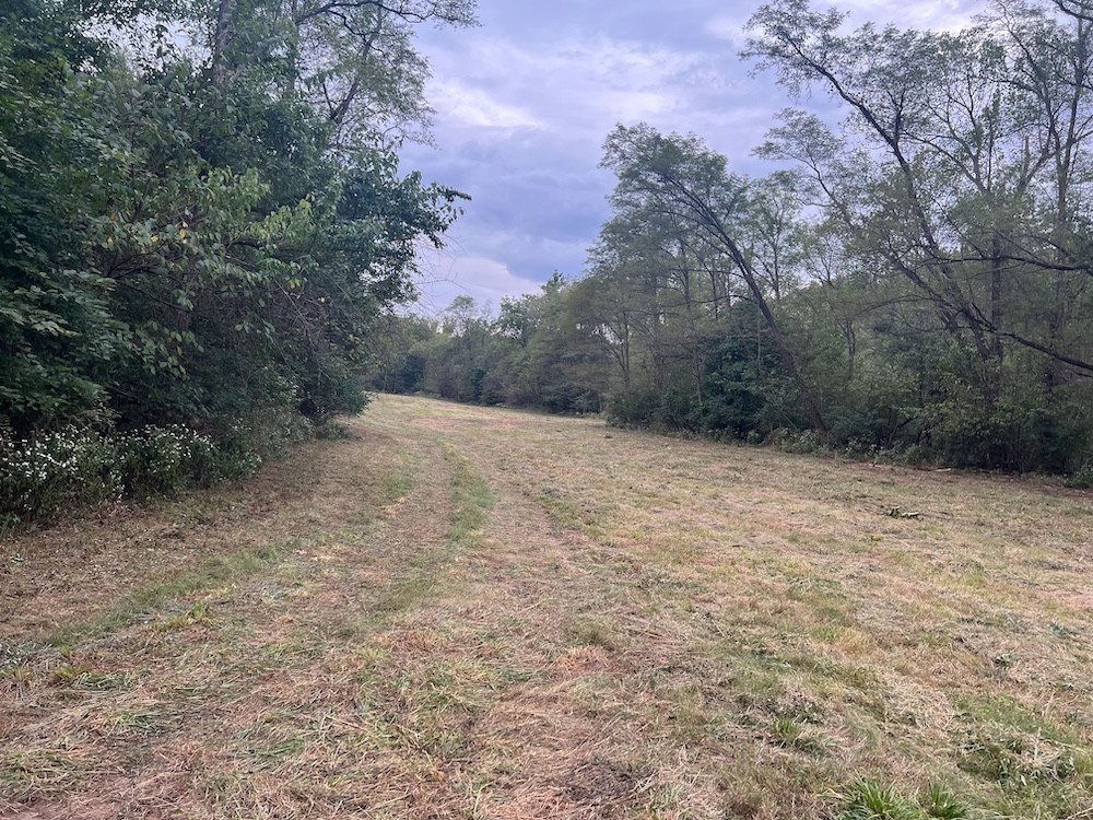
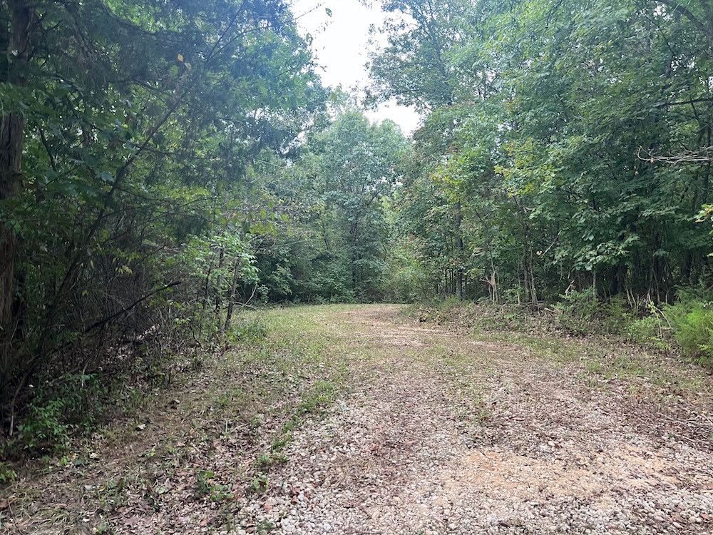
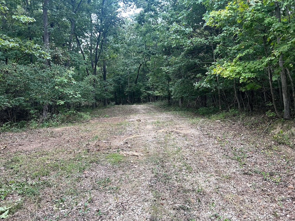
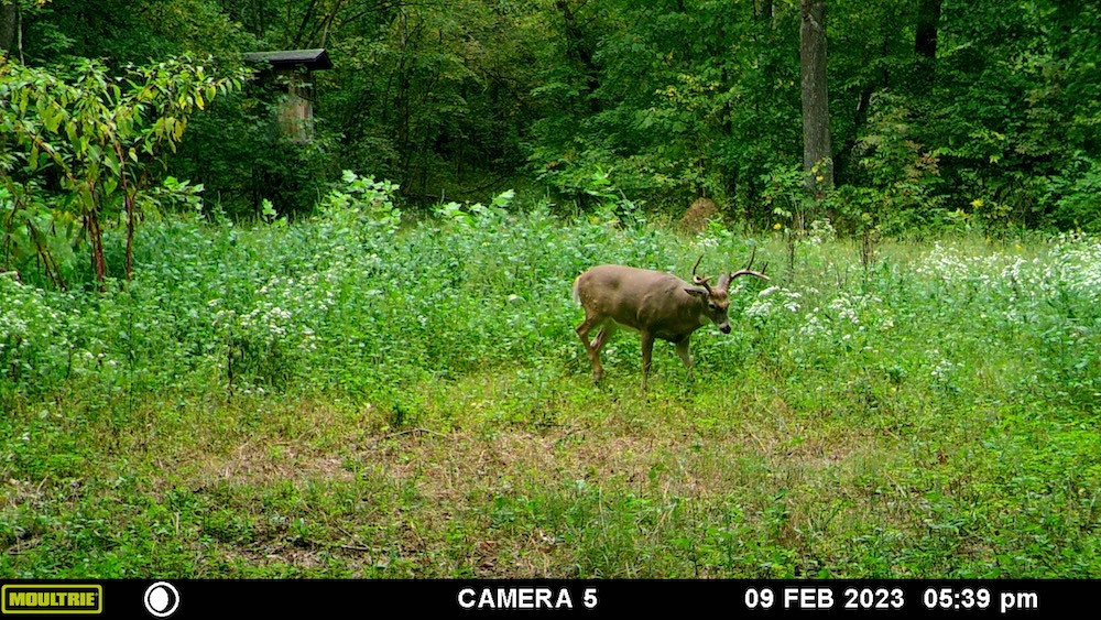
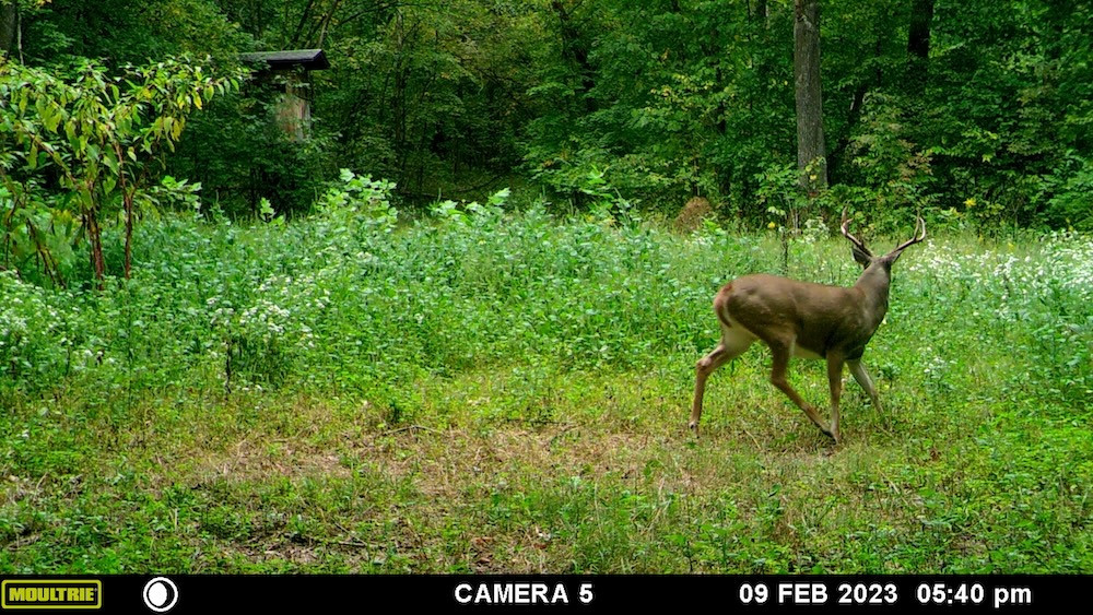
Approximately 20 acres +/- are open and could be utilized for food plots or other wildlife habitat management. What stands out to me is how these openings are positioned. Rather than being large fields exposed to surrounding roads, many of the open areas are secluded within the timber. This creates feeding areas with substantial screening and cover nearby. Two of the largest openings are located near the northwest and southeast portions of the property, providing enough acreage for a substantial food source when planted and maintained.
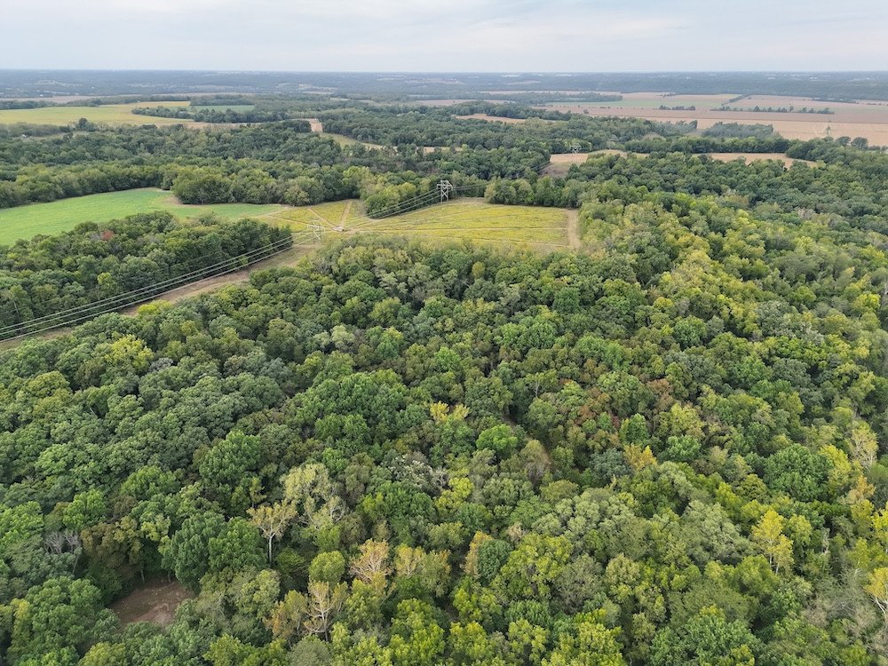
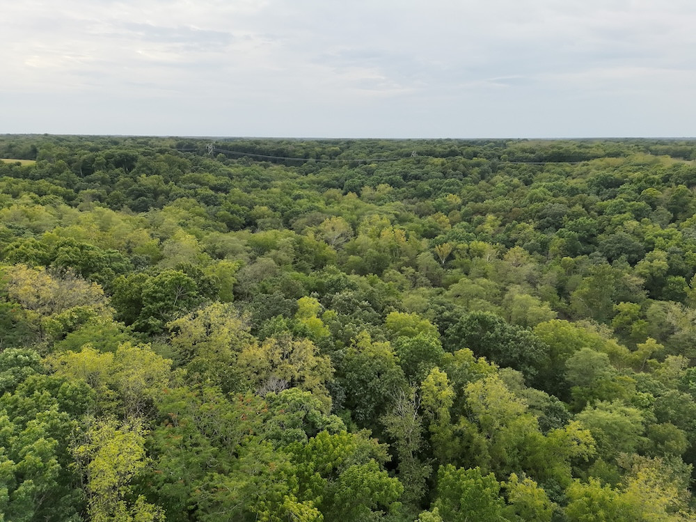
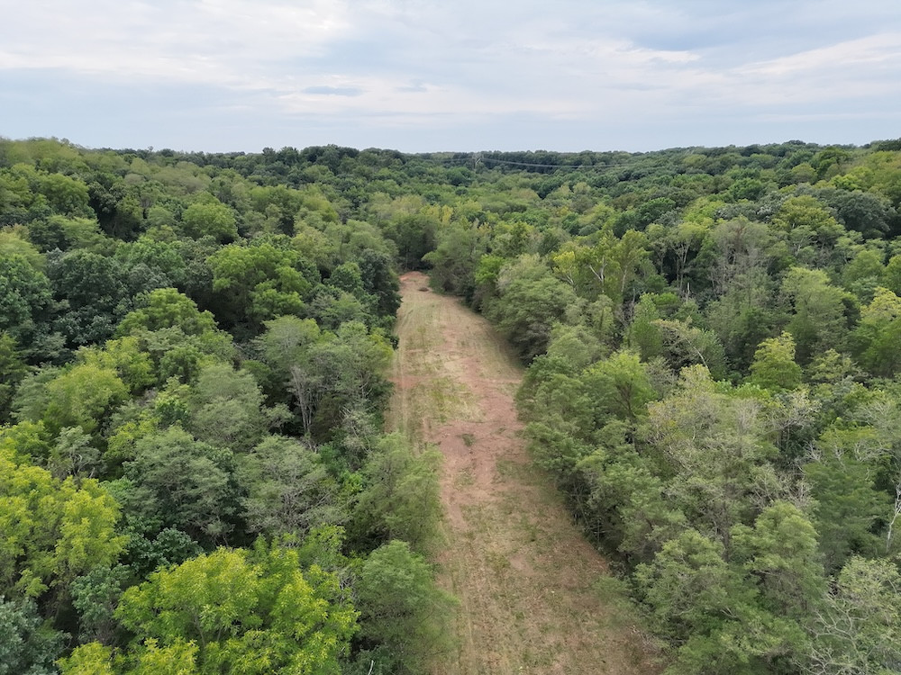
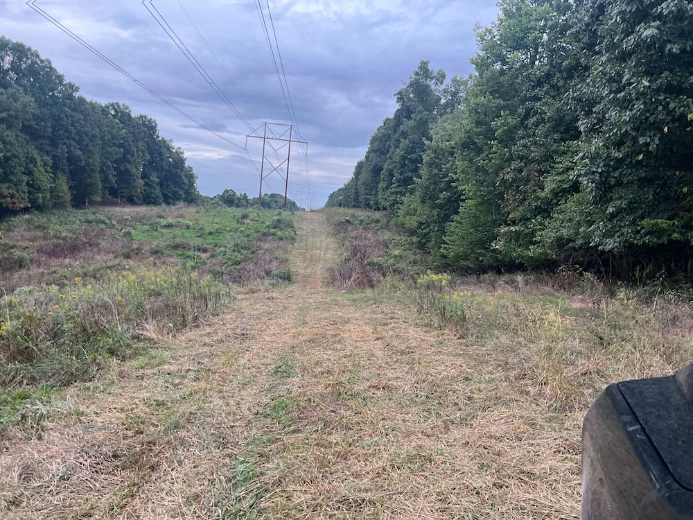
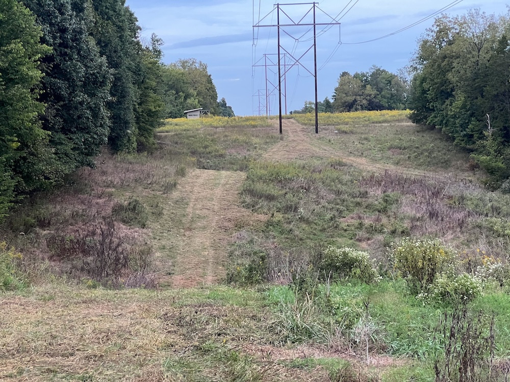
Another hunting feature I really like is the power line cut running through the west side of the property. Power line cuts have long been appreciated by deer hunters because they create an open corridor through otherwise timbered terrain and provide extended visibility. On this property, the cut creates opportunities to watch for deer moving from one block of timber to another and provides additional options for hunting and habitat management.
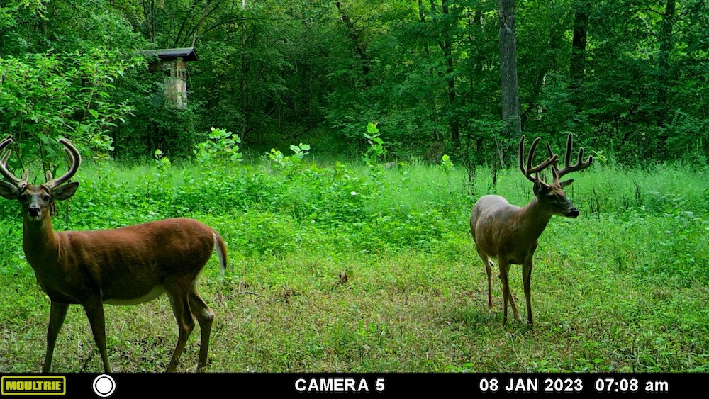
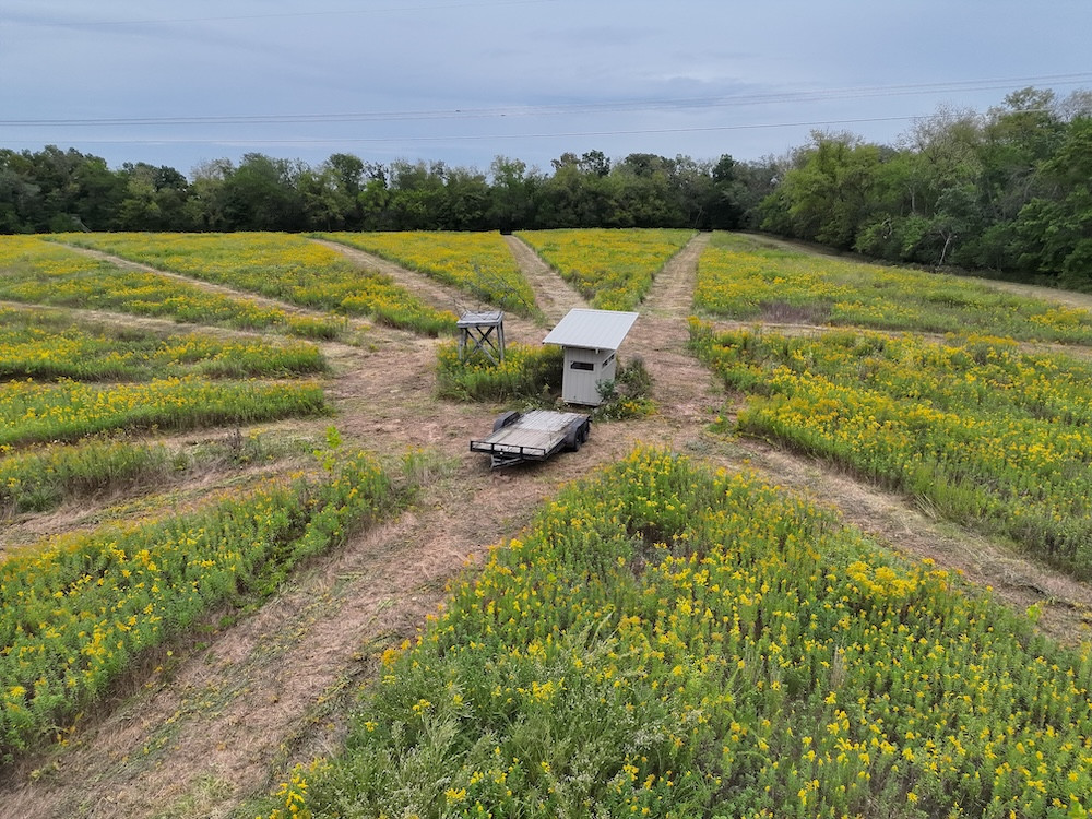
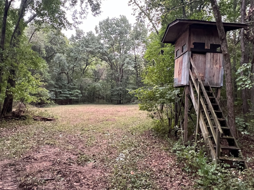
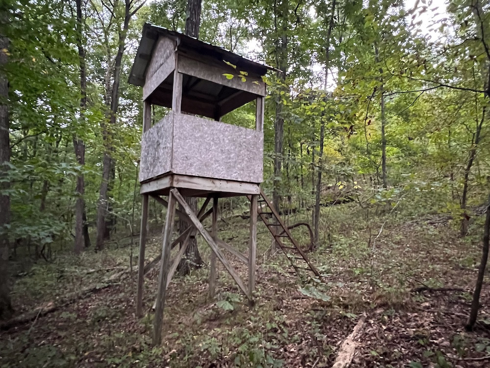
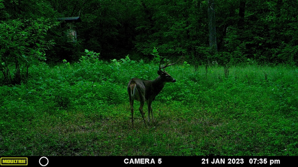
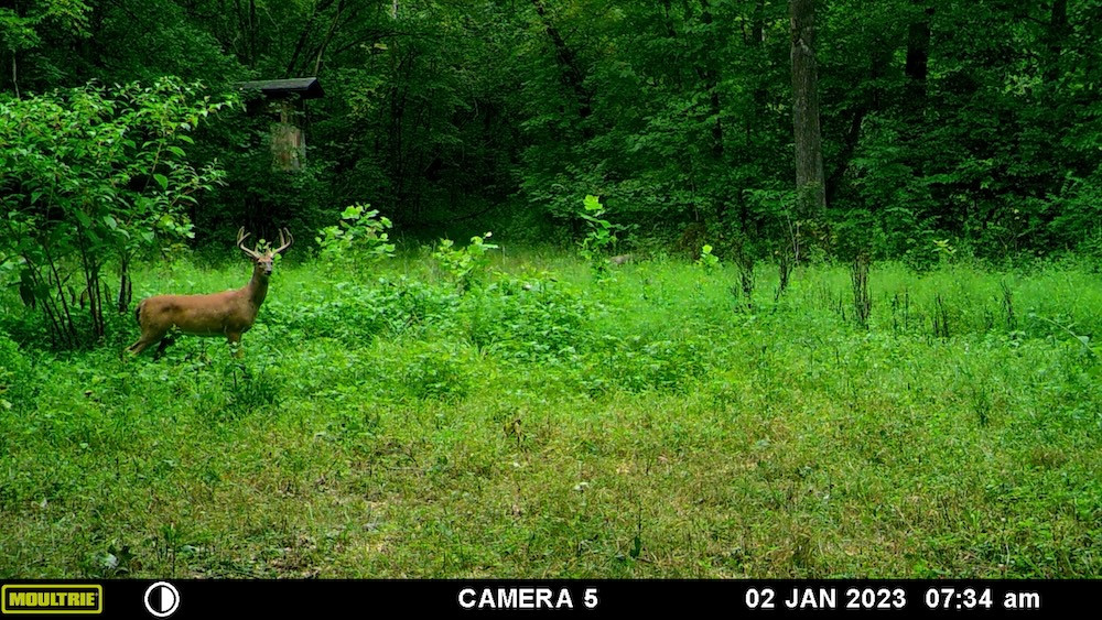
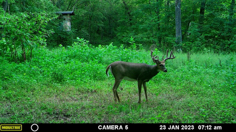
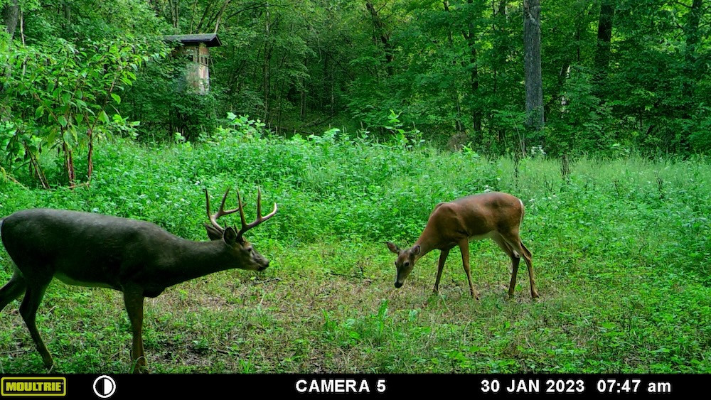
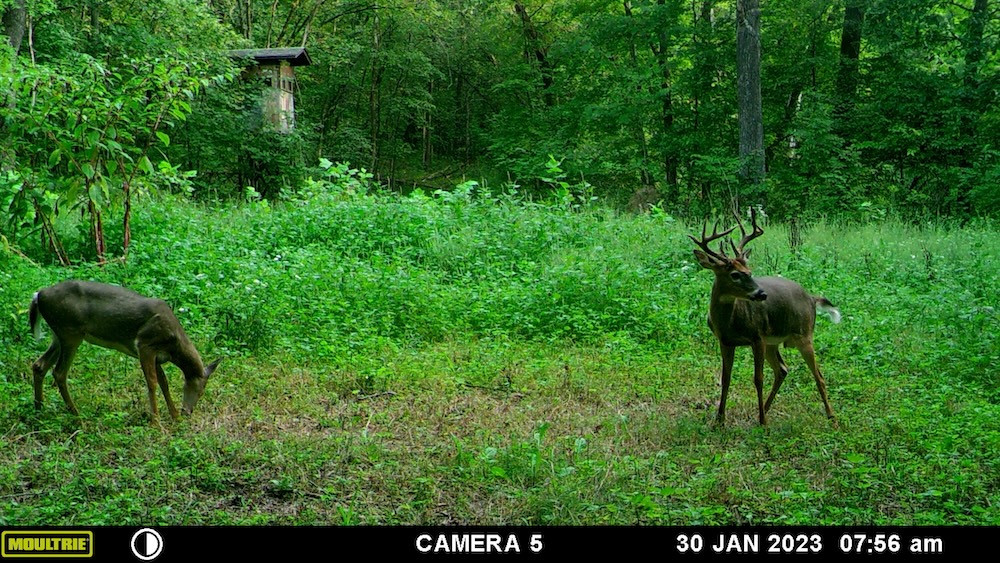
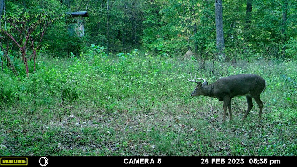
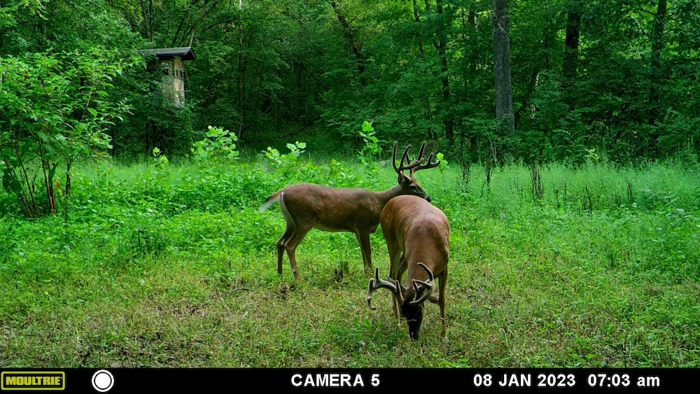
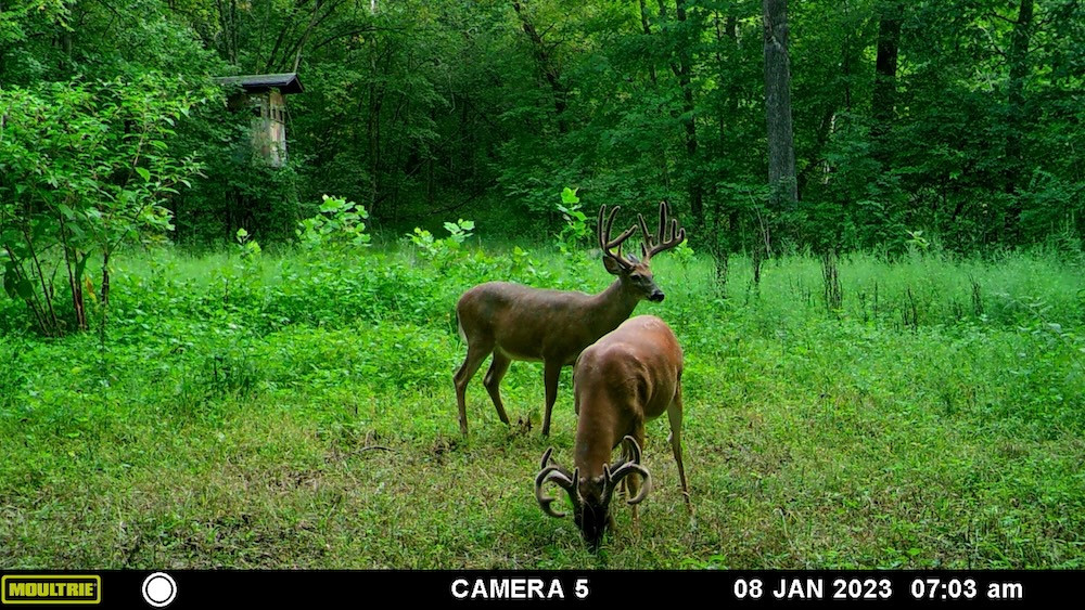
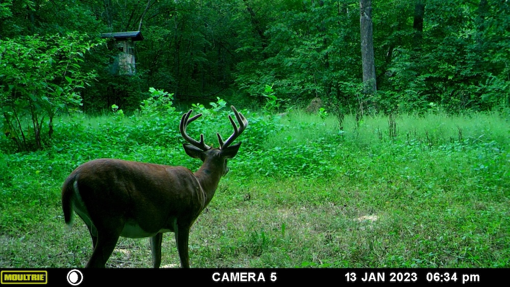
The setup at the northwest corner particularly caught my attention. A large open field sits just below the power line cut and already has a box blind in place along with mowed shooting lanes. Standing there and looking across the opening and power line corridor, you can immediately see why the seller's family chose this location. The visibility across the west side, combined with timber on both sides and the nearby food plot, creates an impressive hunting setup. It is the type of location where a hunter could potentially catch a mature buck moving between blocks of timber or entering the open area while pushing and searching for does.
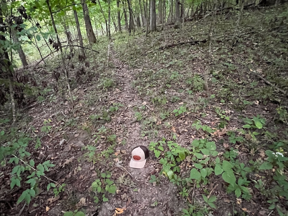
The topography is another feature that caught my attention. Several of the food plot areas are positioned near natural shelves, draws, and terrain changes that can influence deer travel. An experienced bowhunter should quickly recognize several locations where terrain and openings come together to create natural funnels and potential stand locations.
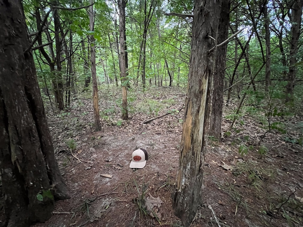
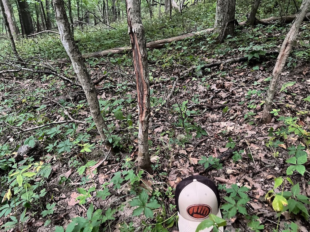
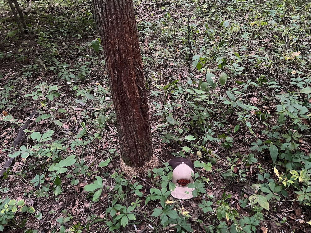
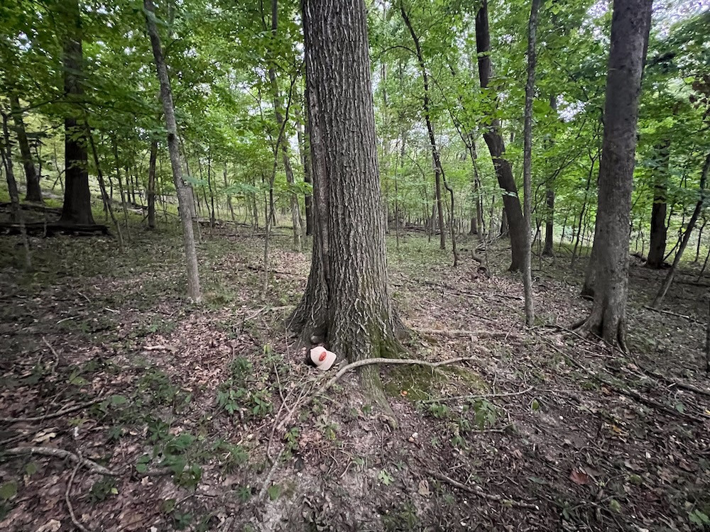
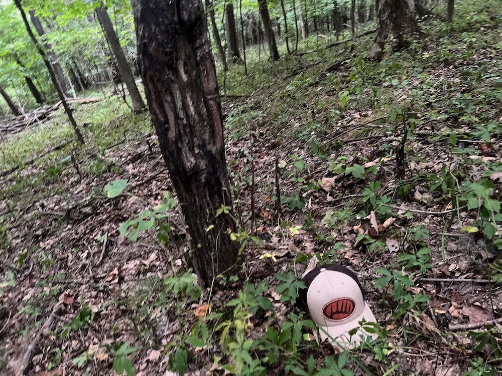
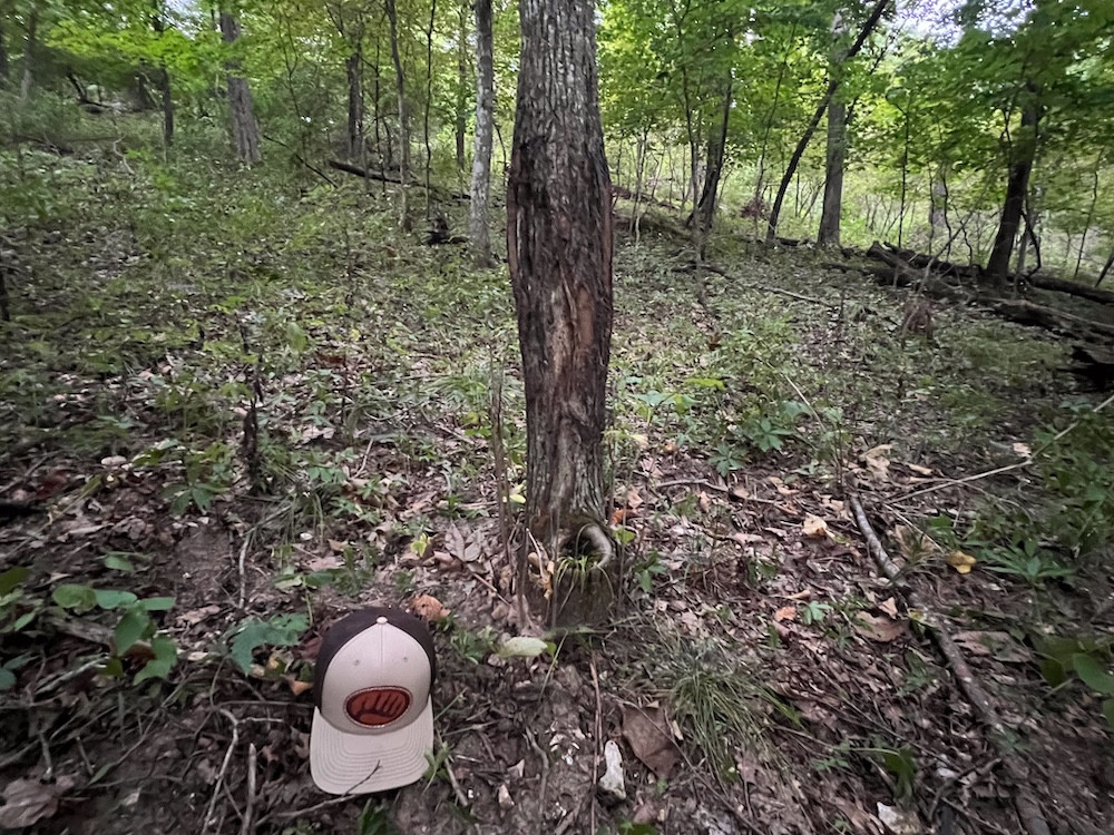
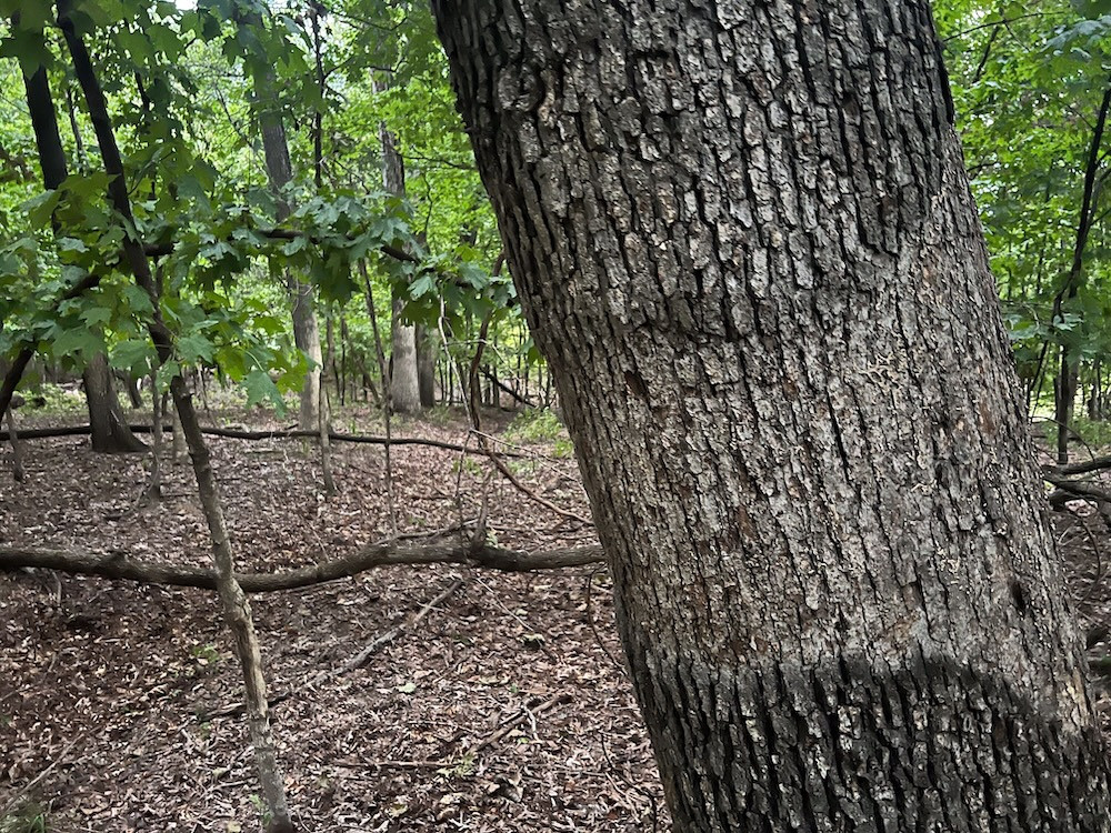
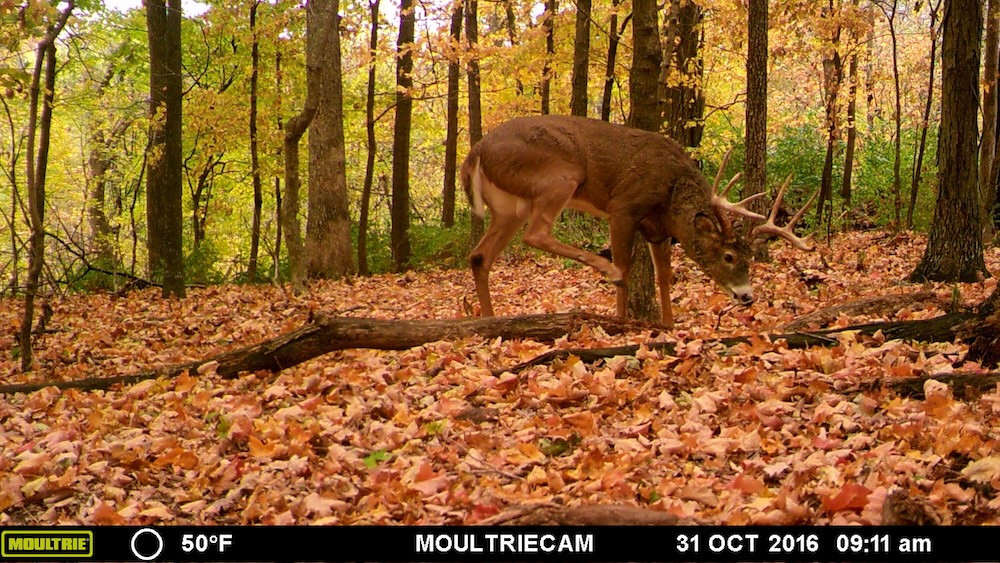
One of my favorite features is a natural shelf running along the east side of one of the creeks. While walking this area with the landowner's son, I noticed considerable evidence of historical deer activity, including old scrapes along what appeared to be an established scrape line. We also found a freshly worked community scrape around a tree approximately 8 inches in diameter. The combination of current and historical sign made this particular travel corridor stand out during my initial tour.
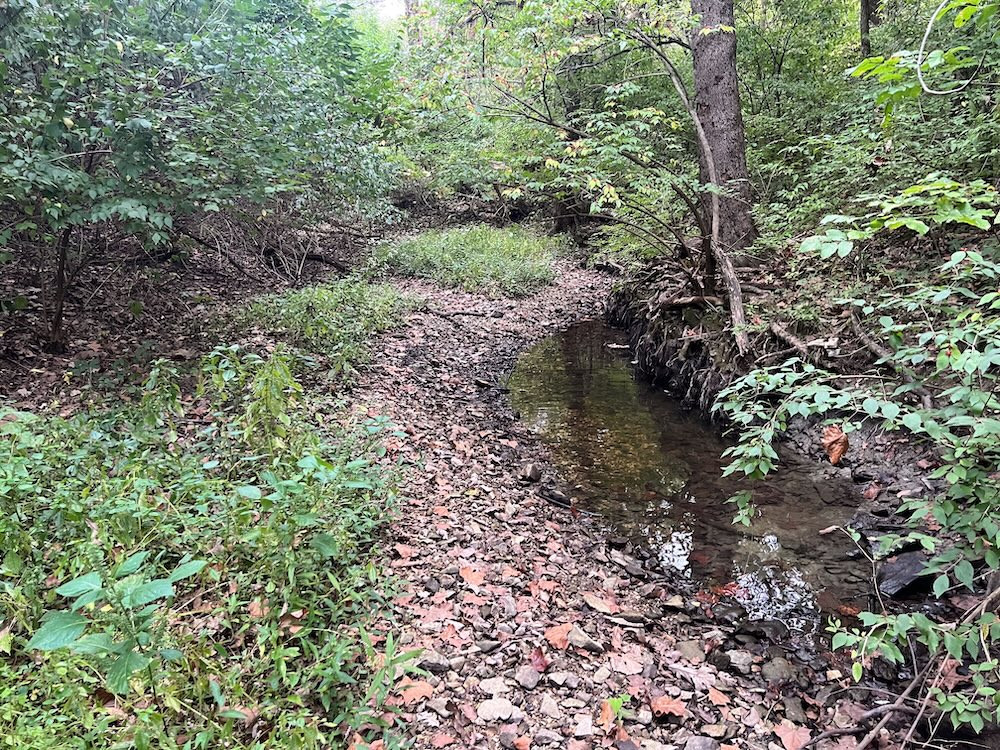
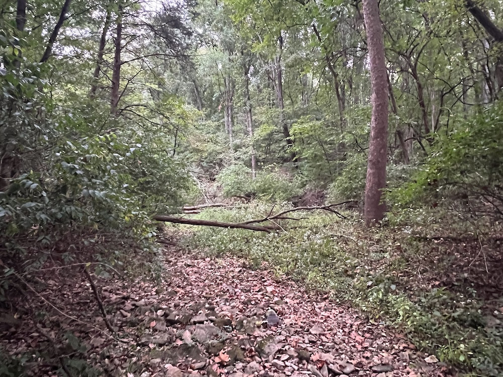
Two rocky runoff creeks converge within the property. These drainages typically hold pools of water, providing an additional water source for wildlife. Beyond the water itself, the creek bottoms, banks, crossings, and adjacent shelves add another layer of terrain diversity and create additional travel corridors through the timber.
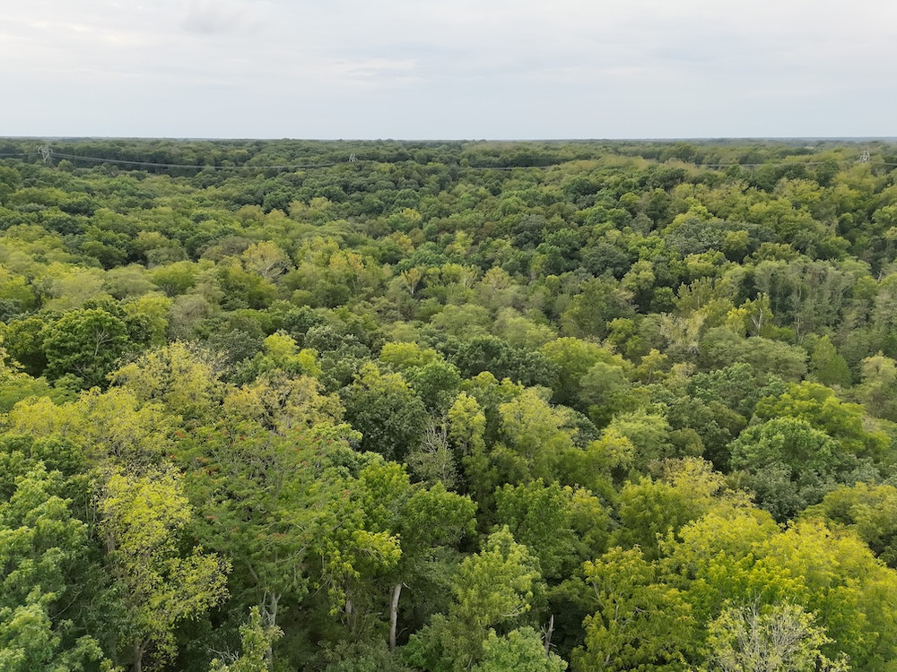
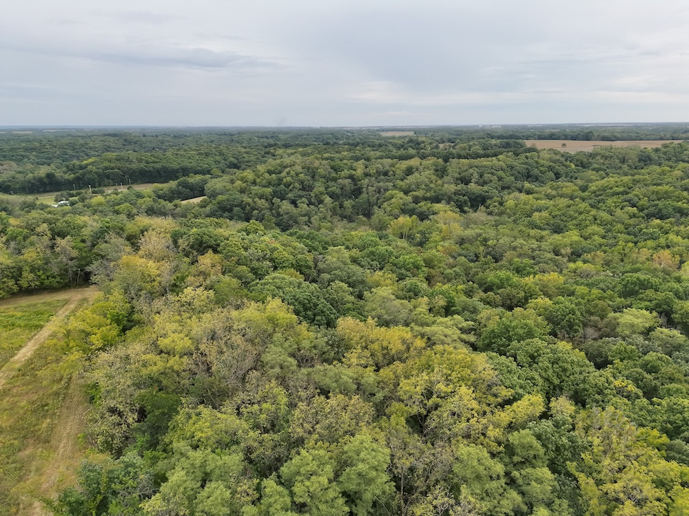
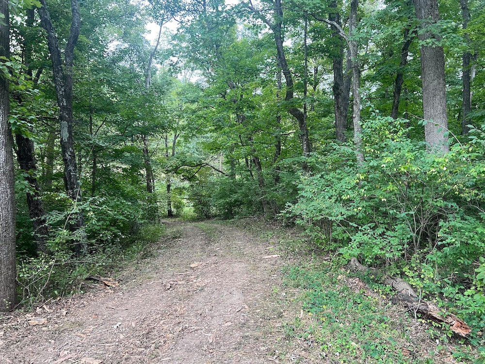
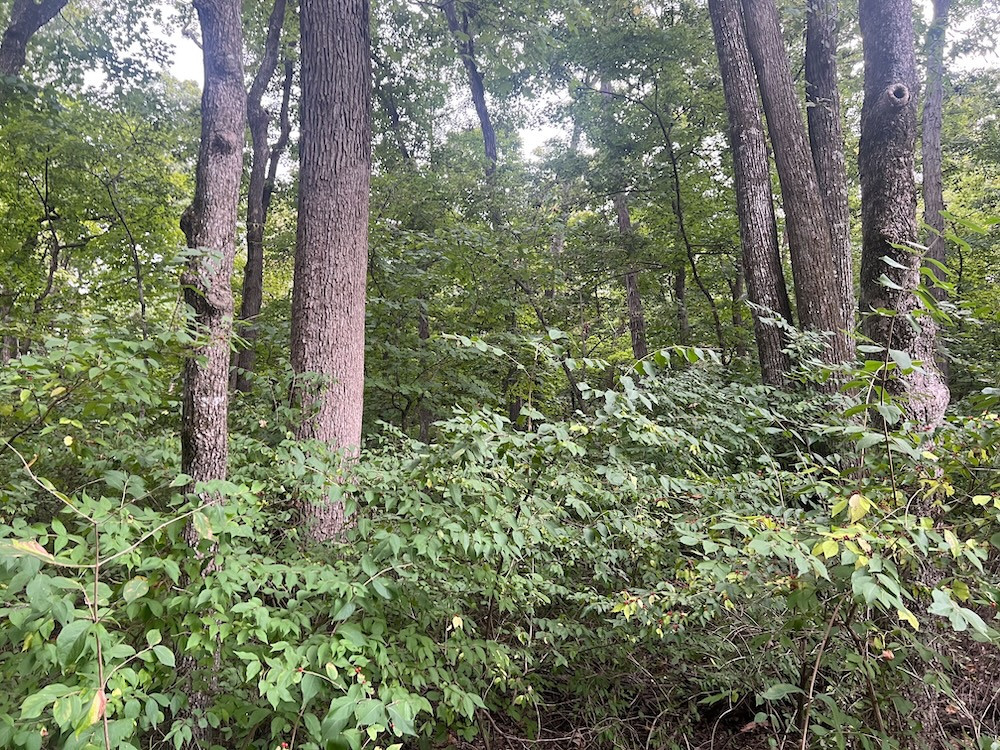
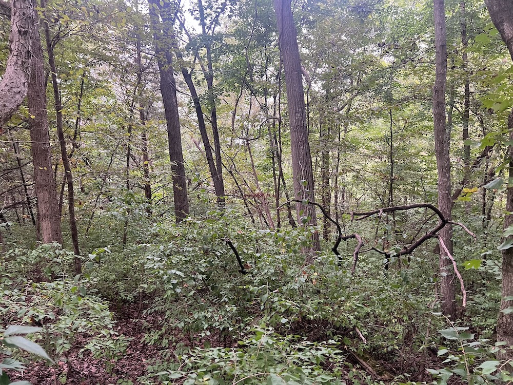
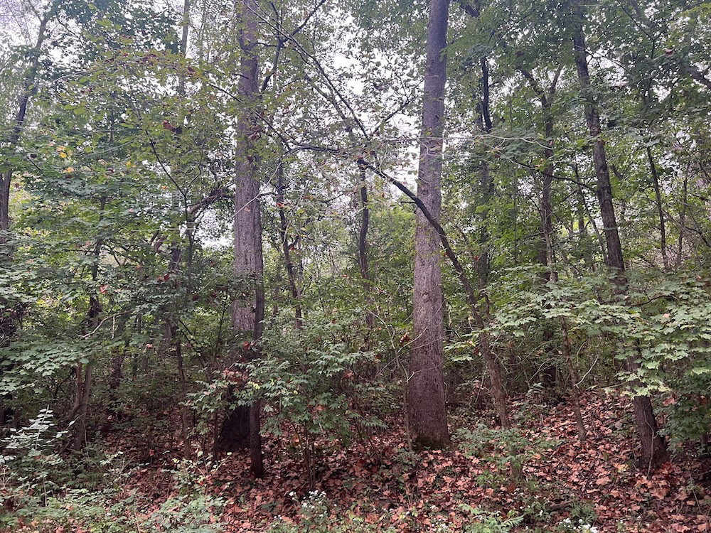
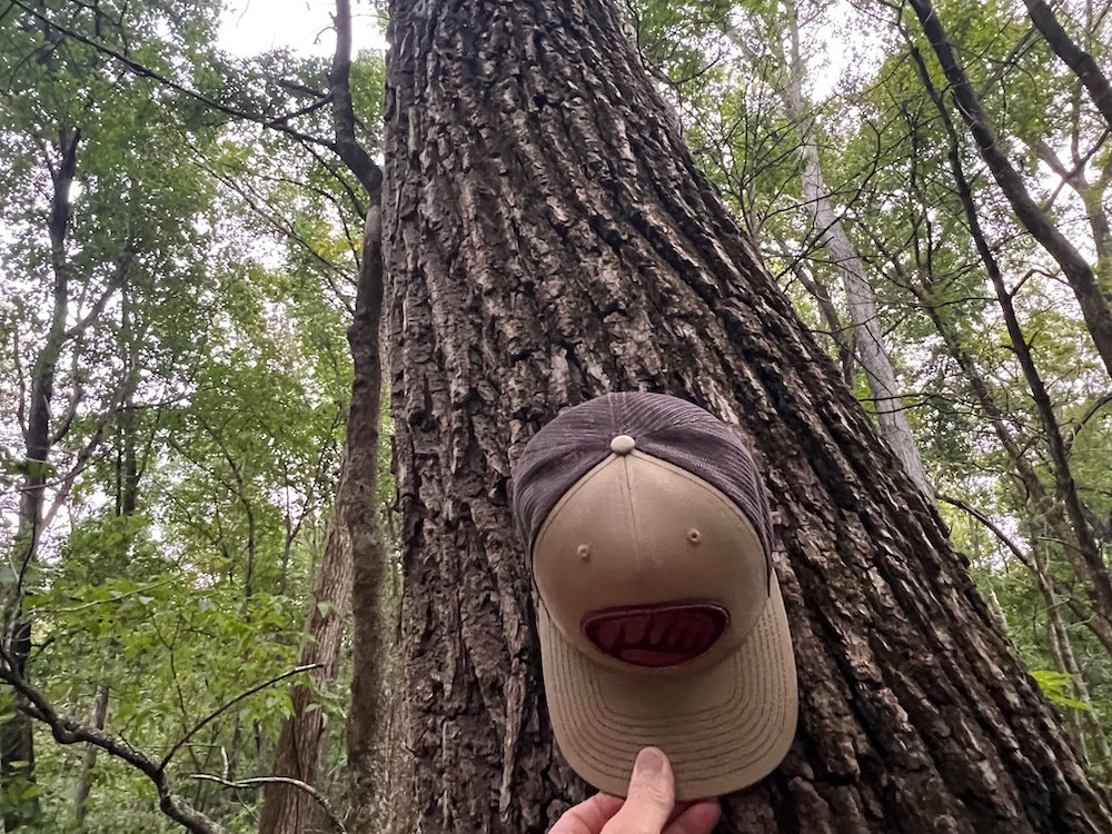
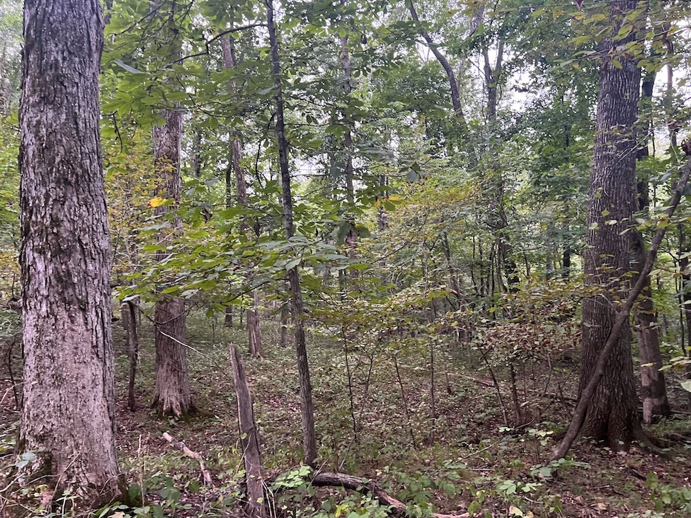
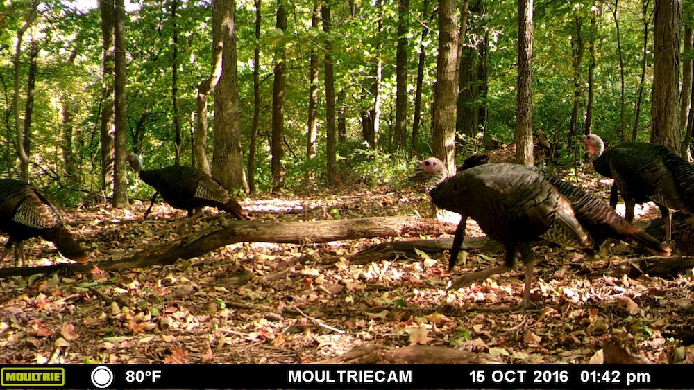
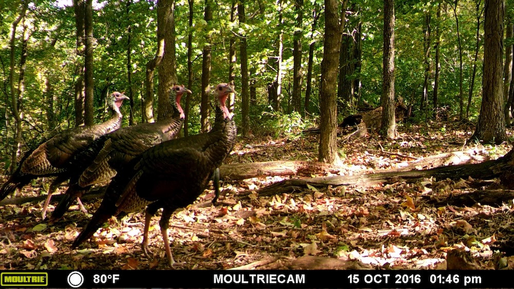
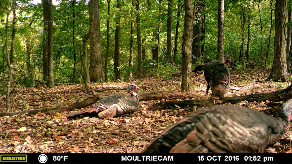
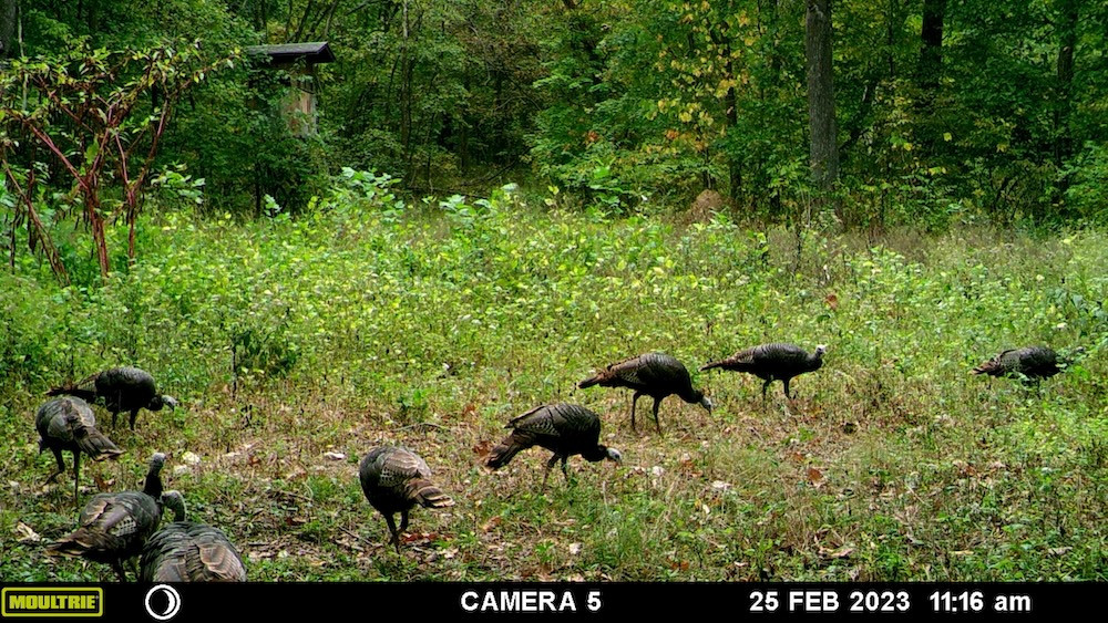
The timber consists of a variety of hardwood species, including oak, walnut, hickory, sycamore, and large cottonwoods. The oak component provides an important seasonal mast source, while some of the larger trees offer potential turkey roosting habitat. Turkey activity was evident during my tour when I bumped a couple of birds from the roost while walking the property.
The central portion of the farm is primarily timber, providing a large block of wooded cover between and around the open areas. The property is also situated within a broader timber landscape. From a hunting standpoint, I like the relationship between the larger timber block, secluded openings, creek corridors, power line cut, elevation changes, and potential food sources. Rather than relying on one individual feature, this property offers several habitat components within its 93.4 acres +/-.
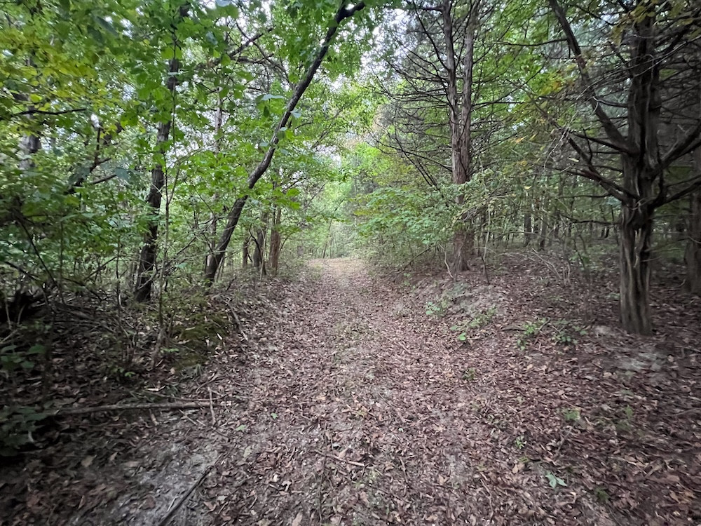
The farm sits at a high elevation above the Salt River bottoms, and the changes in elevation become much more apparent once you begin walking the property. This is one of those farms where I believe an in-person tour tells the story much better than photographs alone. The timber canopy can make it difficult to capture the terrain, creek corridors, natural shelves, secluded openings, power line cut, and transitions that become obvious when walking through the property.
A portion of the property directly fronts State Highway H, yet the interior of the property has almost no visibility from the roadway. The existing entrance currently serves the property's recreational use. A buyer planning more frequent access may choose to improve the entrance depending on intended use and applicable requirements.
Water and electric are reported to be available at or near the property boundary, adding flexibility for someone considering a future cabin, hunting camp, or homesite, subject to utility provider availability, permits, and local requirements.
The location is another feature that makes this farm stand out to me. The property is approximately 4 miles north of Center, Missouri and approximately 8.25 miles west of US Highway 61. From the property, it is approximately 23 minutes to Hannibal, Missouri, 36 minutes to Quincy, Illinois, and approximately 1.5 hours to St. Louis Lambert International Airport. Clarence Cannon Dam and Mark Twain Lake are less than 20 minutes away, putting boating, fishing, camping, and additional public recreational opportunities within a short drive.
For a recreational property that feels secluded once you step into the timber, I believe the accessibility is exceptional. You can hunt a large block of timber in rural Ralls County while remaining within a reasonable drive of Hannibal, Quincy, Mark Twain Lake, US Highway 61, and the St. Louis metropolitan area. That combination of privacy, recreational opportunities, and regional accessibility is difficult to overlook.
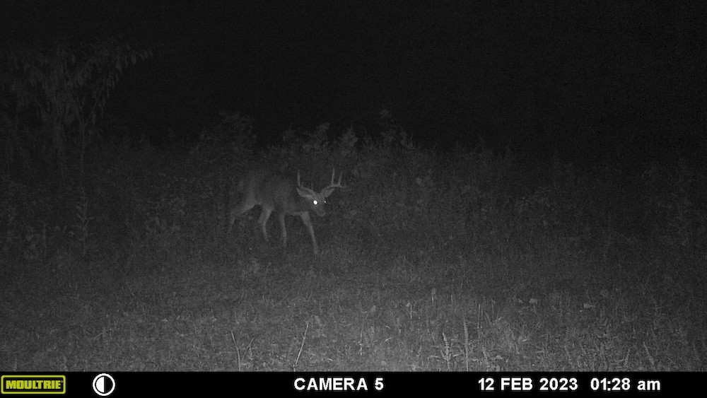
What interests me most about this property is the amount of hunting structure already present. The hardwood timber, creeks, water, secluded openings, natural shelves, funnels, power line corridor, established scrape activity, box blind, shooting lanes, and surrounding timbered landscape provide a strong starting point for a buyer who wants to develop a focused whitetail and turkey hunting property. With approximately 20 acres +/- of open ground available for a renewed food plot program, there is also plenty of opportunity for the next owner to put their own habitat management plan into place.
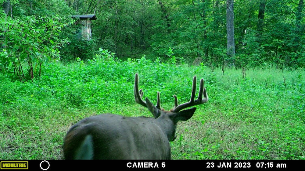
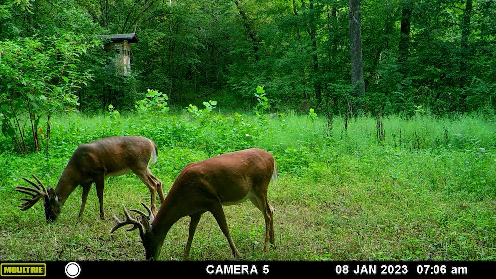
Although the pictures do a good job of showing off the hardwood timber and open areas, they simply cannot capture everything I saw while walking this farm. A word of warning from me: if you schedule a tour, be prepared to want to buy it. Once you walk through the timber, follow the creek corridors, see the natural shelves and funnels, and stand over the food plots and power line setup, this property becomes difficult to resist. This is one of those farms that needs to be experienced on the ground to fully appreciate what it has to offer.
Contact Clay Lockard with Whitetail Properties Real Estate to schedule a private tour.
Summary
Address
Approximate Distances
Property
Land Details
Timber
Tillable
Open
Improvements/Features
Small Game, Big Game, Upland Game, Predators, Creek/Spring, Trail Network, Internal Road System
Details
- Approximately 20 acres +/- of open ground with food plot potential
- Two rocky runoff creeks converge within the property and typically hold pools of water
- Two large secluded openings near the northwest and southeast portions of the property
- Large northwest field positioned near the power line cut with an existing box blind and mowed shooting lanes
- Power line cut through the west side provides extended visibility and an additional hunting corridor
- Hardwood timber including oak, walnut, hickory, sycamore, and large cottonwoods
- Natural shelves, terrain funnels, creek corridors, and established deer sign
- Historical scrape line and active community scrape observed during initial property tour
- Turkey activity observed on the property with large trees providing potential roosting habitat
- Very limited interior visibility from the road
- Water and electric reported available at or near the property boundary
- Approximately 4 miles north of Center and 8.25 miles west of US Highway 61
- Less than 20 minutes to Clarence Cannon Dam and Mark Twain Lake
- Approximately 23 minutes to Hannibal, Missouri
- Approximately 1.5 hours to St. Louis Lambert International Airport
- Approximately 36 minutes to Quincy, Illinois
Other
Coordinates
Annual Taxes

The information contained herein is deemed reliable but is not warranted or guaranteed by the Broker, its Agents, or the Seller. Access to property, access to utilities, or any measurements including but not limited to, acreage, square footage, frontage, and mapping boundary lines shared herein has not been independently verified and is for purposes of marketing only. If exact measurements, access to property, or access to utilities is a concern, the property should be independently measured or investigated by the prospective buyer.
COOPERATING BROKER COMPENSATION: Please contact Listing Agent/Broker for terms of cooperating Buyer Broker compensation. Terms of compensation, if any, shall be ascertained by cooperating brokers before beginning efforts to accept the offer of cooperation. Buyer's Agents/Brokers must be identified, by Buyers and/or their Brokers/Agents, on the first contact with Listing Broker/Agents to receive compensation. Otherwise, compensation will be at the sole discretion of the Seller, Broker, and Whitetail Properties Real Estate, LLC.
Real Estate Commissions and Cooperating Broker Compensation, if any, are fully negotiable and is not fixed or controlled by law, by Whitetail Properties Real Estate, LLC (or any division/trade name/DBA of), or its Agents/Brokers.
The information contained herein is deemed reliable but is not warranted or guaranteed by the Broker or Seller. The Broker (Whitetail Properties) does not assume liability for typographical errors, misprints, nor for misinformation that may have been given to us. All property is subject to change, withdrawal, or prior sale. Whitetail Properties Real Estate, LLC DBA Whitetail Properties, DBA Whitetail Properties Real Estate. In the States of Nebraska & North Dakota DBA Whitetail Trophy Properties Real Estate LLC. Licensed in CO, MN, ND, SD, TN & WI - Jeffrey Evans, Broker. Licensed in FL, KS & MO - Jefferson Kirk Gilbert, Broker. Licensed in TX - Joey Bellington, Broker. Licensed in IN - Dan Bates, Broker. Licensed in AL, MS, LA, - Todd Edwards, Broker. Licensed in TN – Thomas Crutcher, Broker. Licensed in TN & MS- Josh Monk, Broker. Licensed in AR - Anthony Chrisco, Broker. Licensed in NC, SC, VA - Chip Camp, Broker. Licensed in IA, - Richard F. Baugh, Broker. Licensed in IL, MI – Ronnie Strong, Broker. Licensed in IL, MD, WV - Debbie S. Laux, Broker. Licensed in ID, MT, OR, UT, WA, WY & NV, AZ - Aaron Milliken, Broker. Licensed in NY - John Myers, Real Estate Broker. Licensed in OK - Dean Anderson, Broker. Licensed in KY, ME, NH, NM & VT - Derek Fisher, Broker. Licensed in OH - Jeremy Schaefer, Principal Broker. Licensed in NE - Jason Schendt, Broker. Licensed in PA- Jack Brown, Broker. Licensed in GA – Grantson Martin, Broker.