Mitchell County
Mountain Farm Near Bakersville - Conservation And Unrestricted Land
385 Fork Mountain Road Bakersville, NC 28705
Media
Description
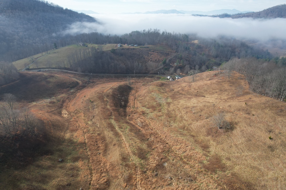
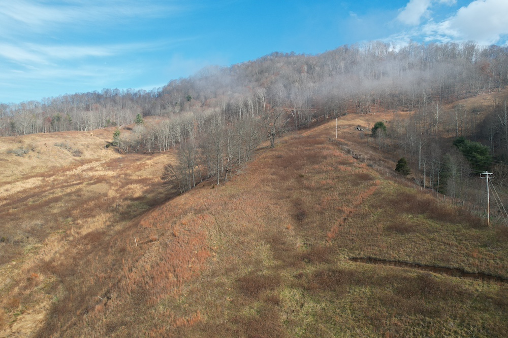
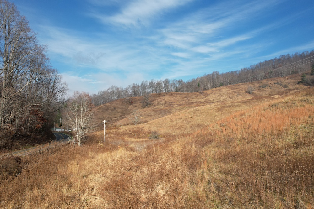
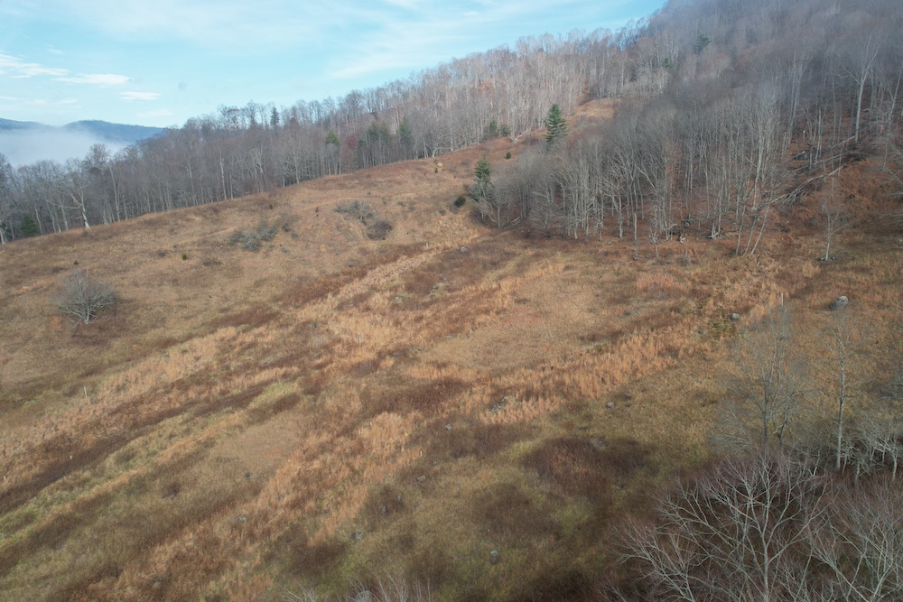
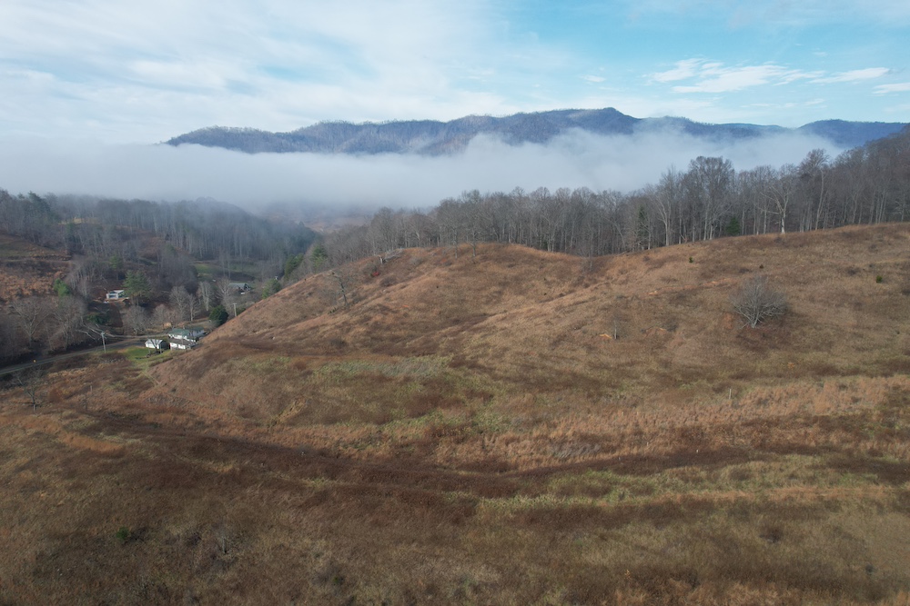
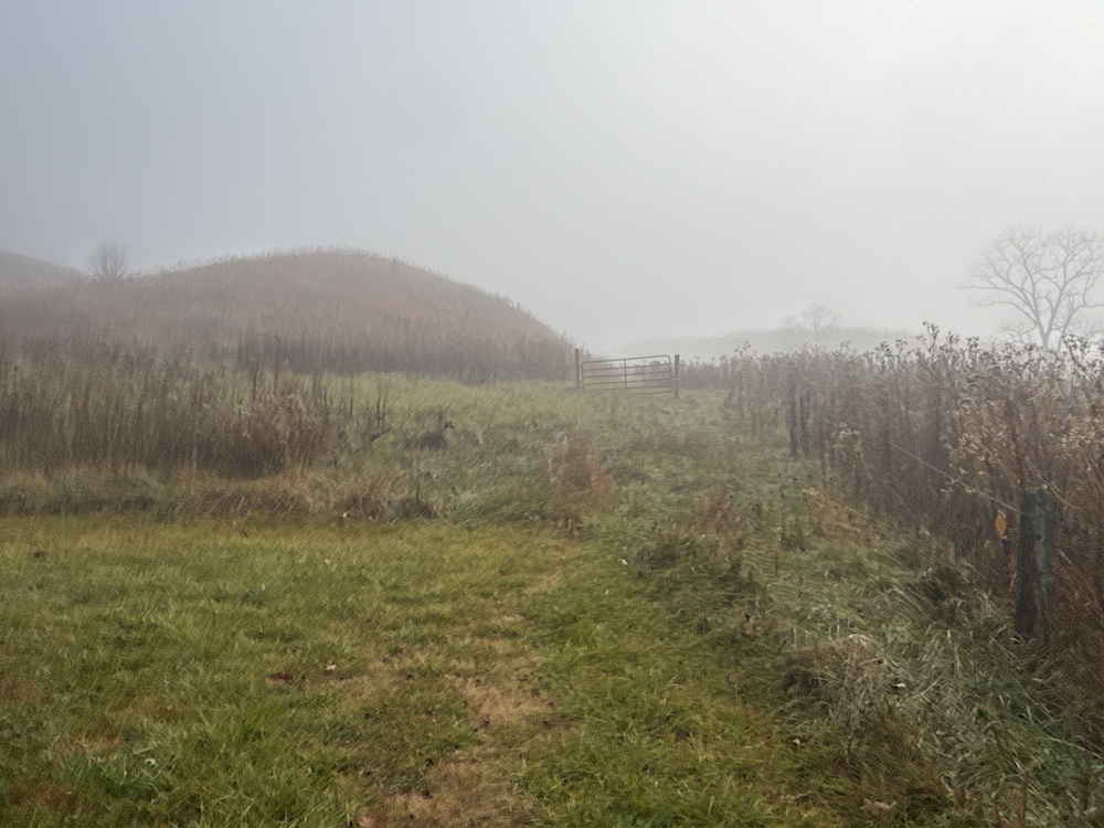
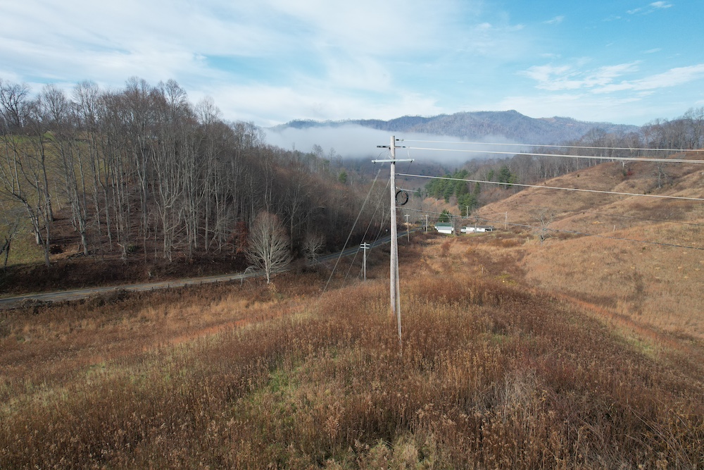
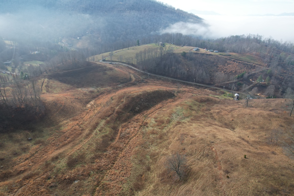
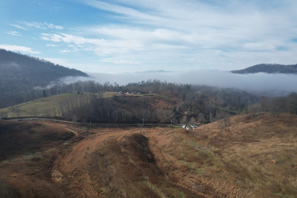
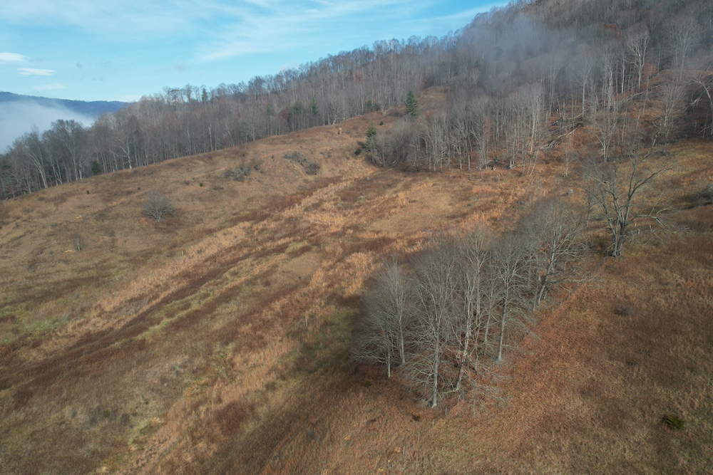
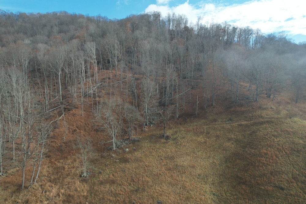
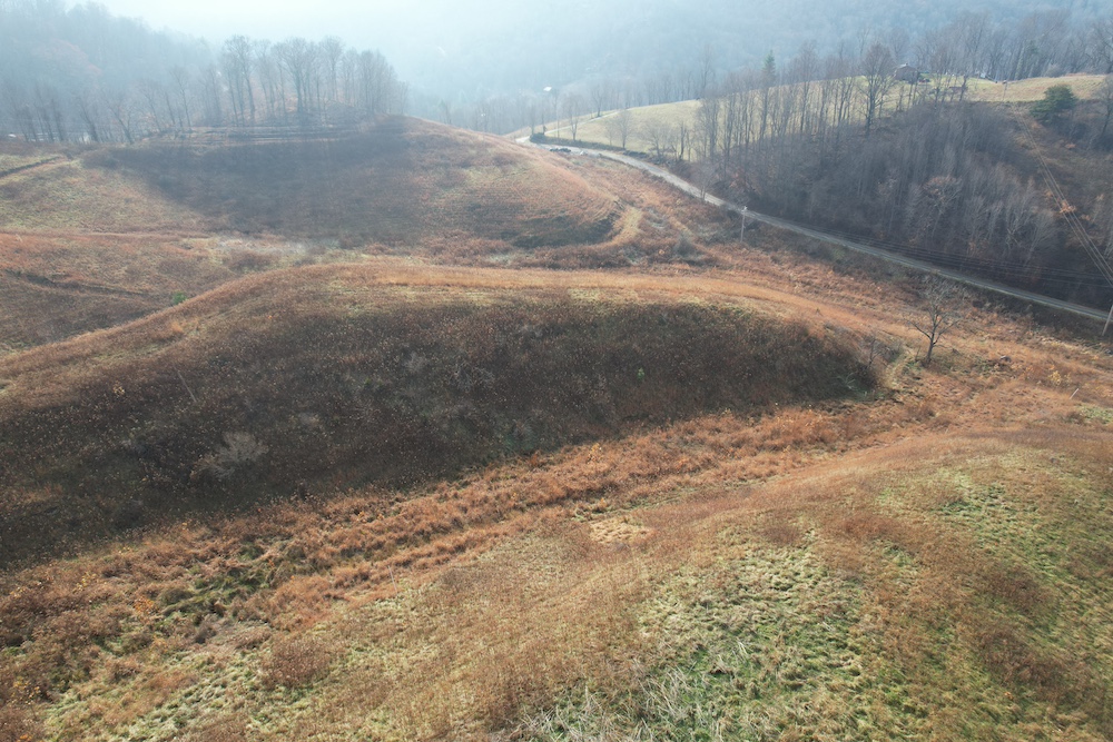
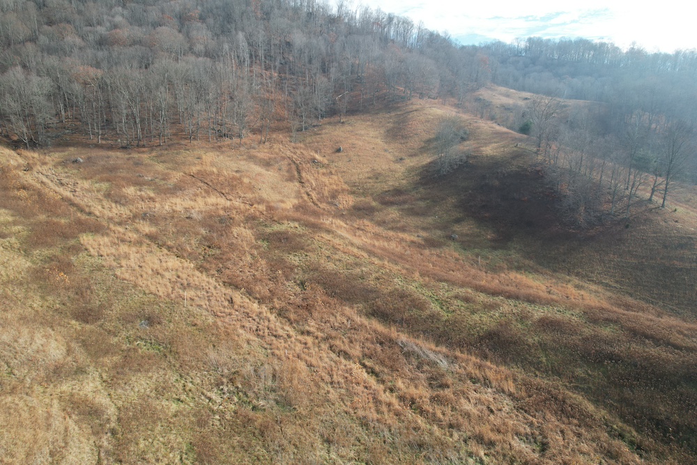
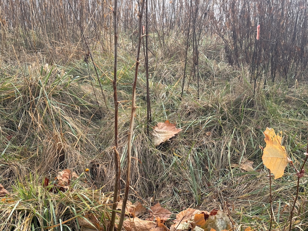
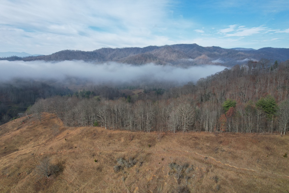
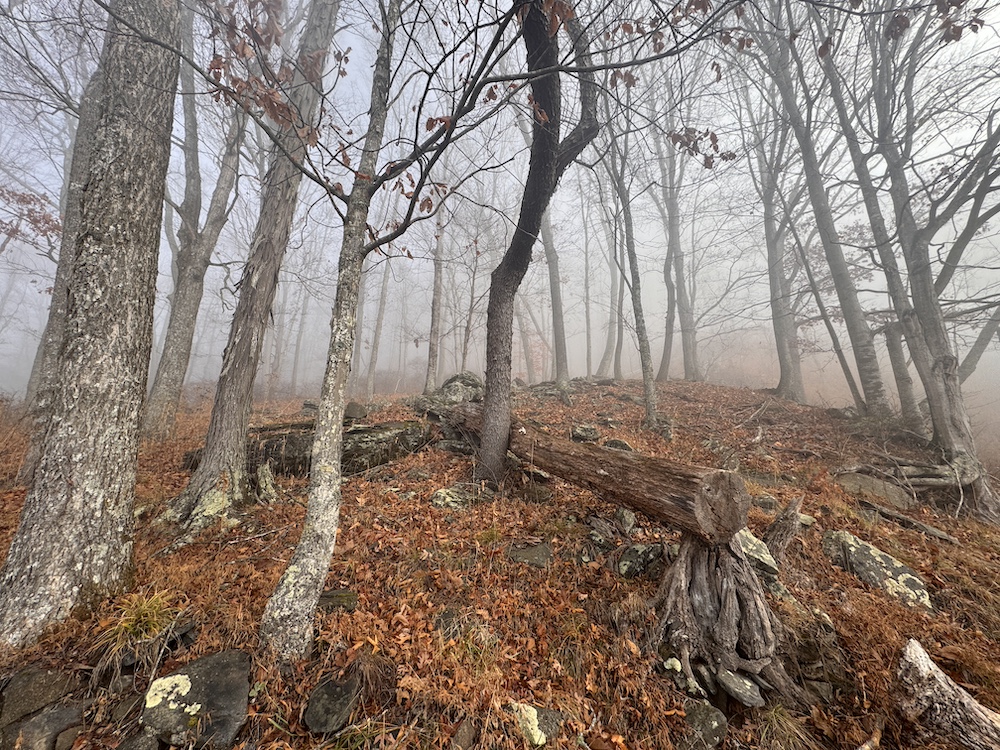
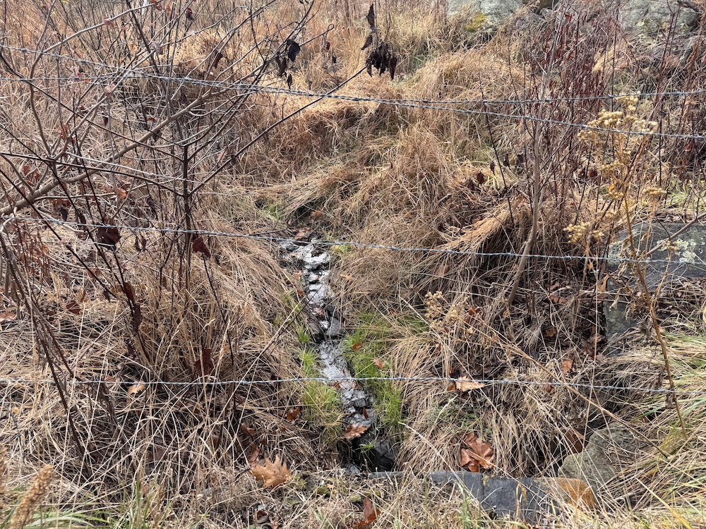
Explore this 72± acre mountain tract, offered as five parcels being sold together and located close to the NC/TN state line. The property features a diverse landscape with steep and rolling topography, a mix of mature timber and open areas, creeks and natural springs flowing throughout. Roughly 25± acres lie within a Conservation Easement, preserving natural grasses, water features, and wildlife habitat under long-term restrictions, including prohibitions on building, access improvements, agriculture and road improvements. Hunting is allowed. These restrictions run with the land and can be provided in full detail by the listing agent.
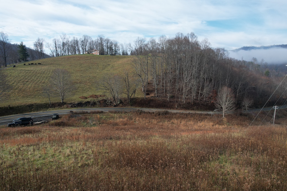
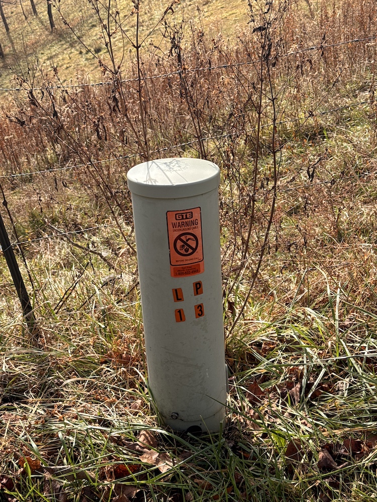
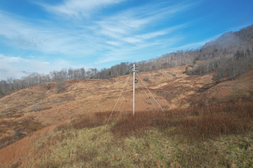
Outside the easement, the land opens up to potential pasture acreage and a possible buildable area with long-range mountain views, giving buyers flexibility for a homesite, recreational use, or small-scale agricultural potential. The tract also includes power on the property and a recent survey, providing a solid foundation for future plans.
Conveniently situated 15 miles from Spruce Pine, 5 miles from Bakersville, and 30 miles from Johnson City, TN, this property delivers the privacy of a mountain retreat with reasonable access to nearby towns. With its blend of protected land, water features, timber, and usable acreage, this is a compelling opportunity for those seeking space, scenery, and true mountain character.
Summary
Address
Approximate Distances
Property
Land Details
Pasture
Timber
Tillable
Enrolled in Government Program
Improvements/Features
Small Game, Big Game, Creek/Spring, Wetlands, Trail Network
Details
- 5 parcels (72+/- acres) being sold together
- 25+/- acres in Conservation Easement with restrictions
- Steep to rolling topography
- Mixture of mature timber and pasture
- Creeks and natural springs
- Potential buildable area with mountain views
- Power and Survey on property
- Close to the NC/TN state line
Other
Coordinates
Annual Taxes


Nearby Related Properties
Stay Connected
Be Part of a Thriving Land Community!
Get the same expert advice, property strategies, and land management tips that thousands of landowners trust. Subscribe now and stay ahead in the market.