Houston County
Hartt Family Ranch
CR 4040 Lovelady, TX 77338
Description
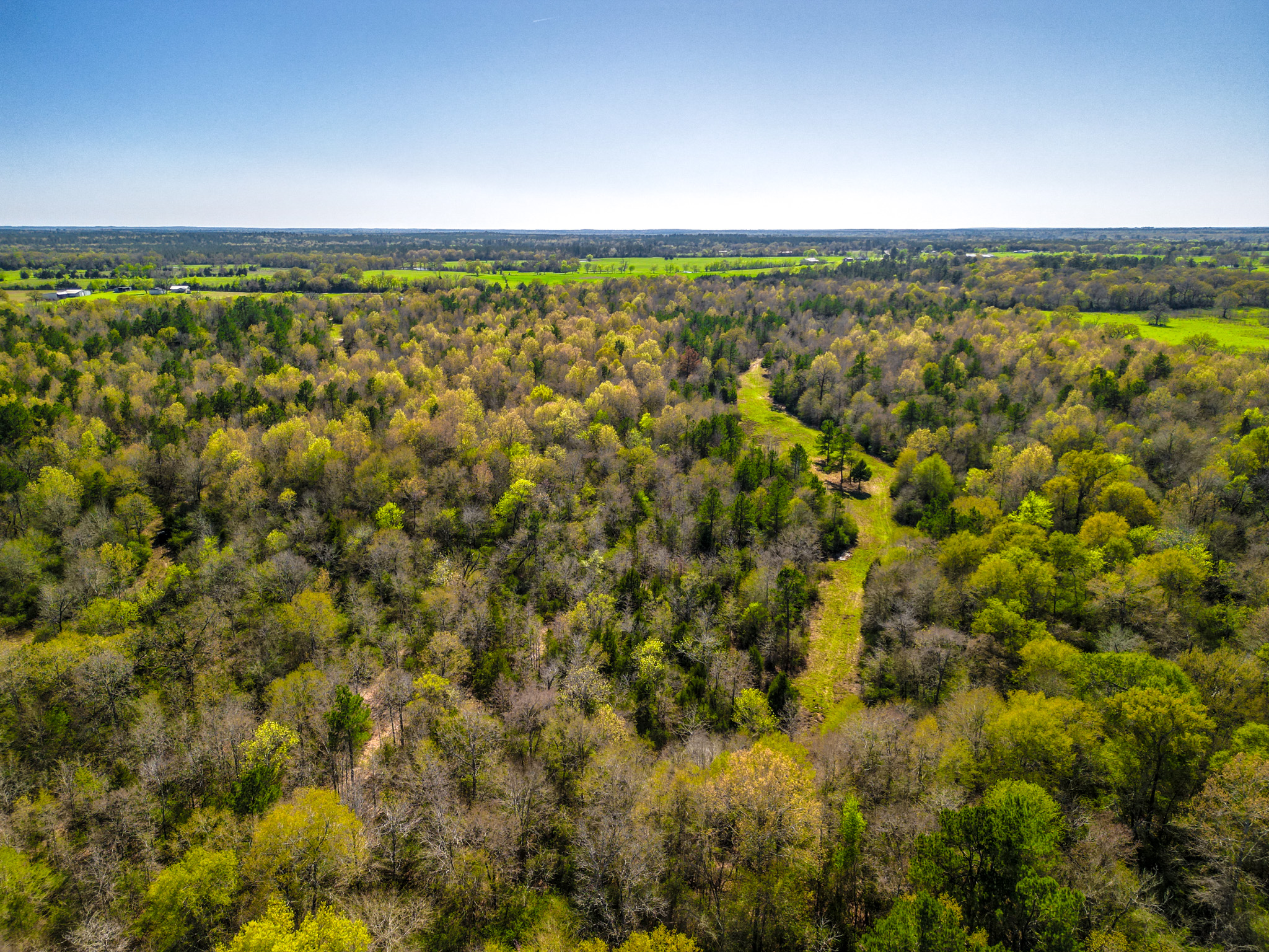
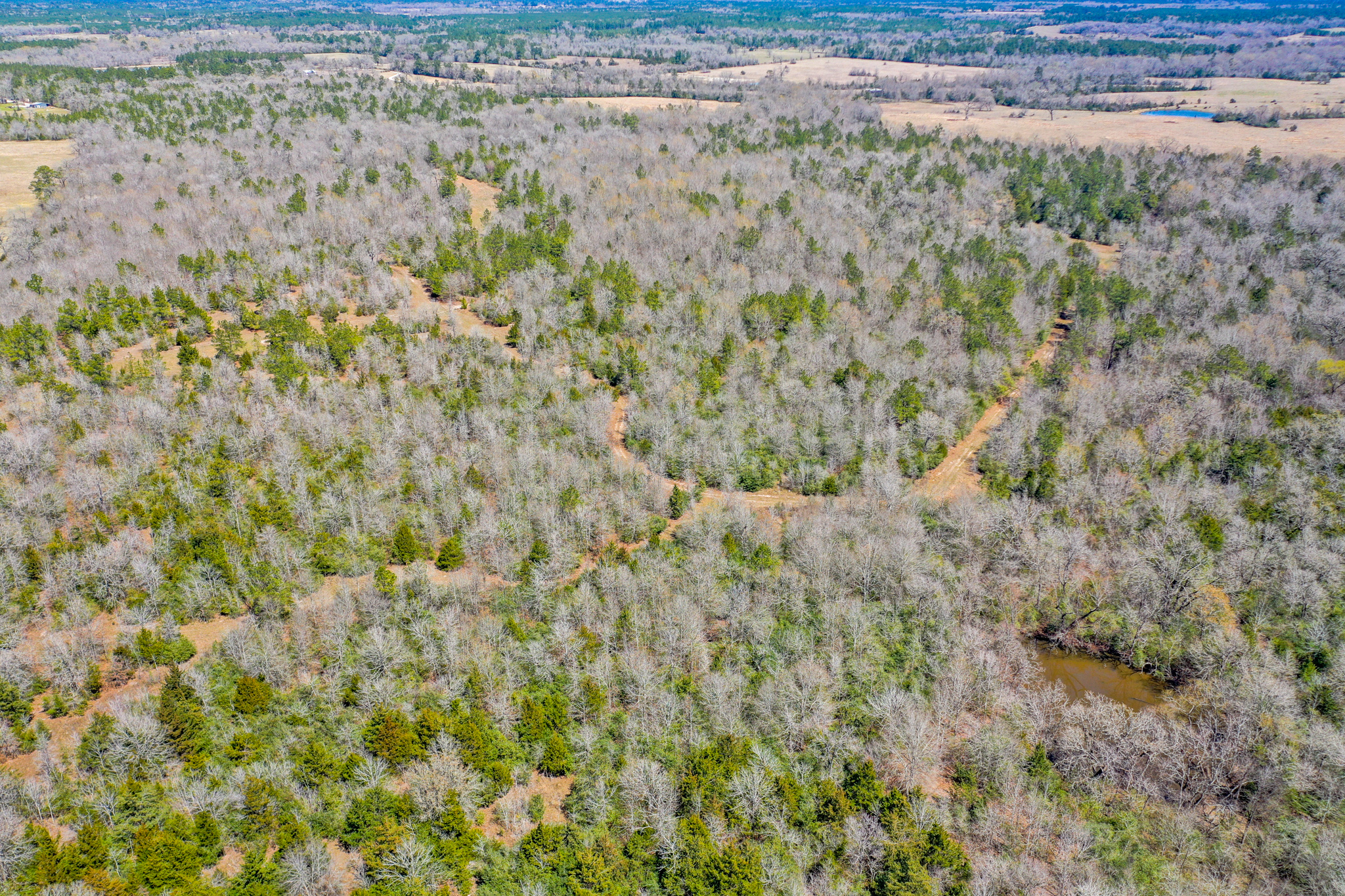
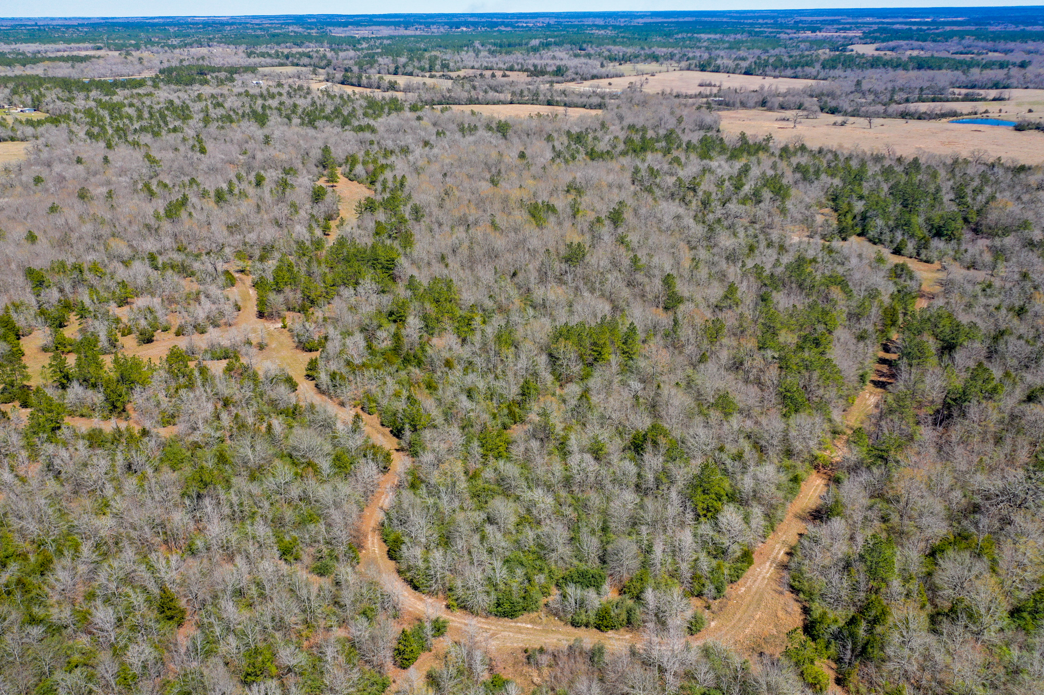
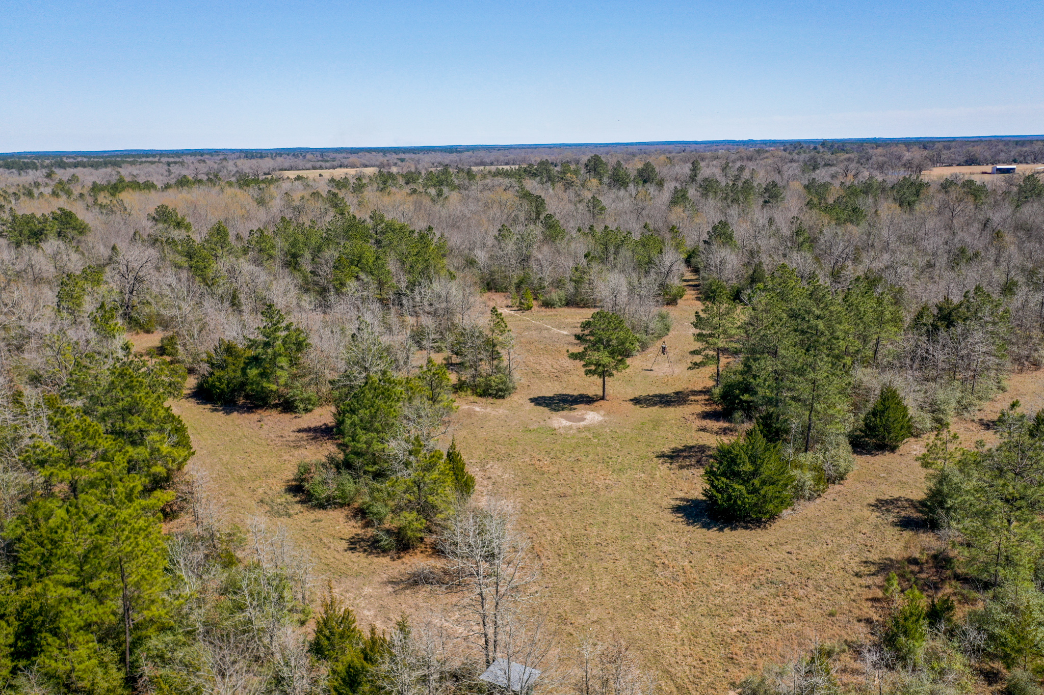
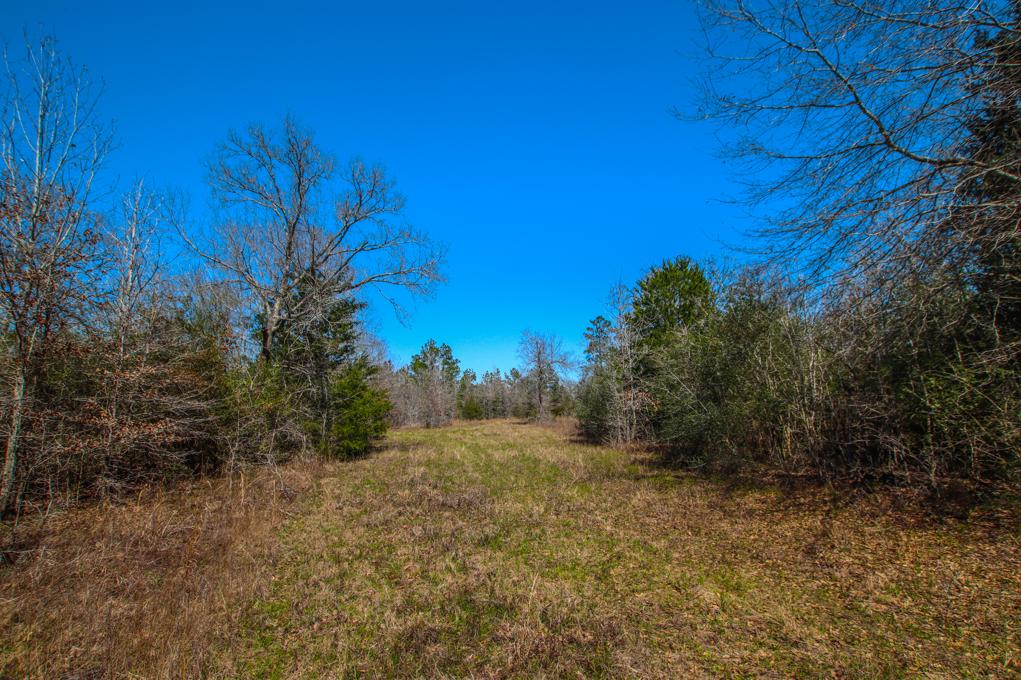
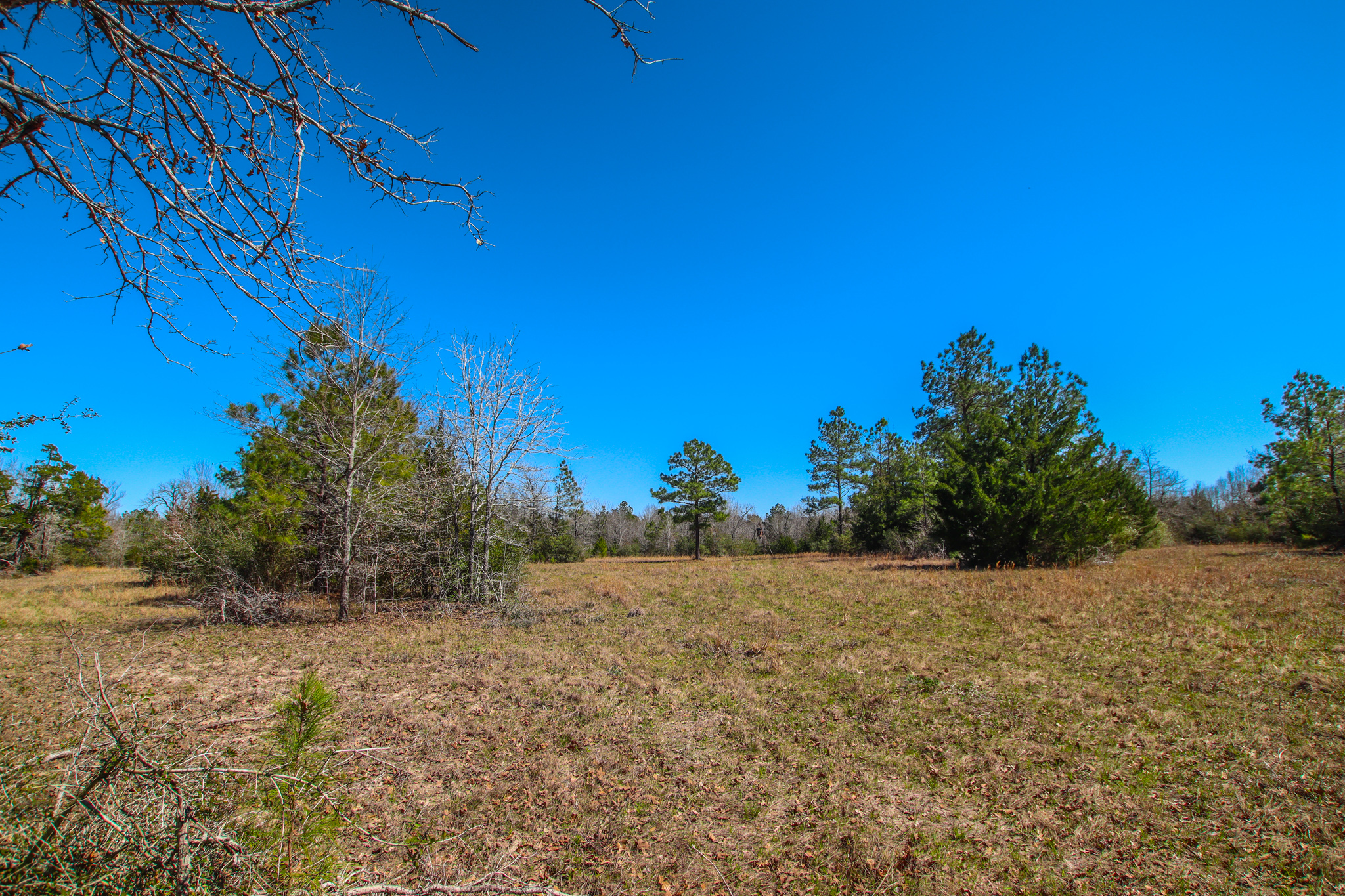
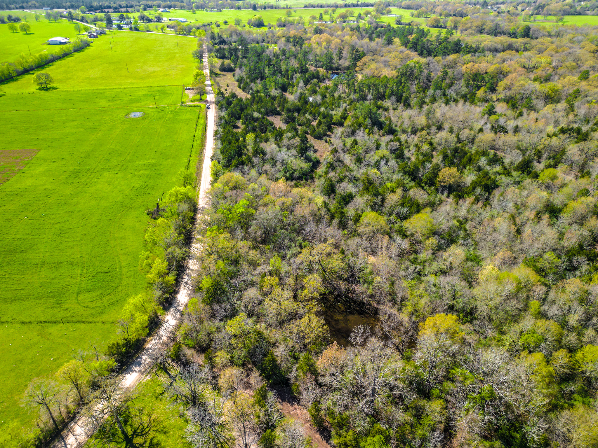
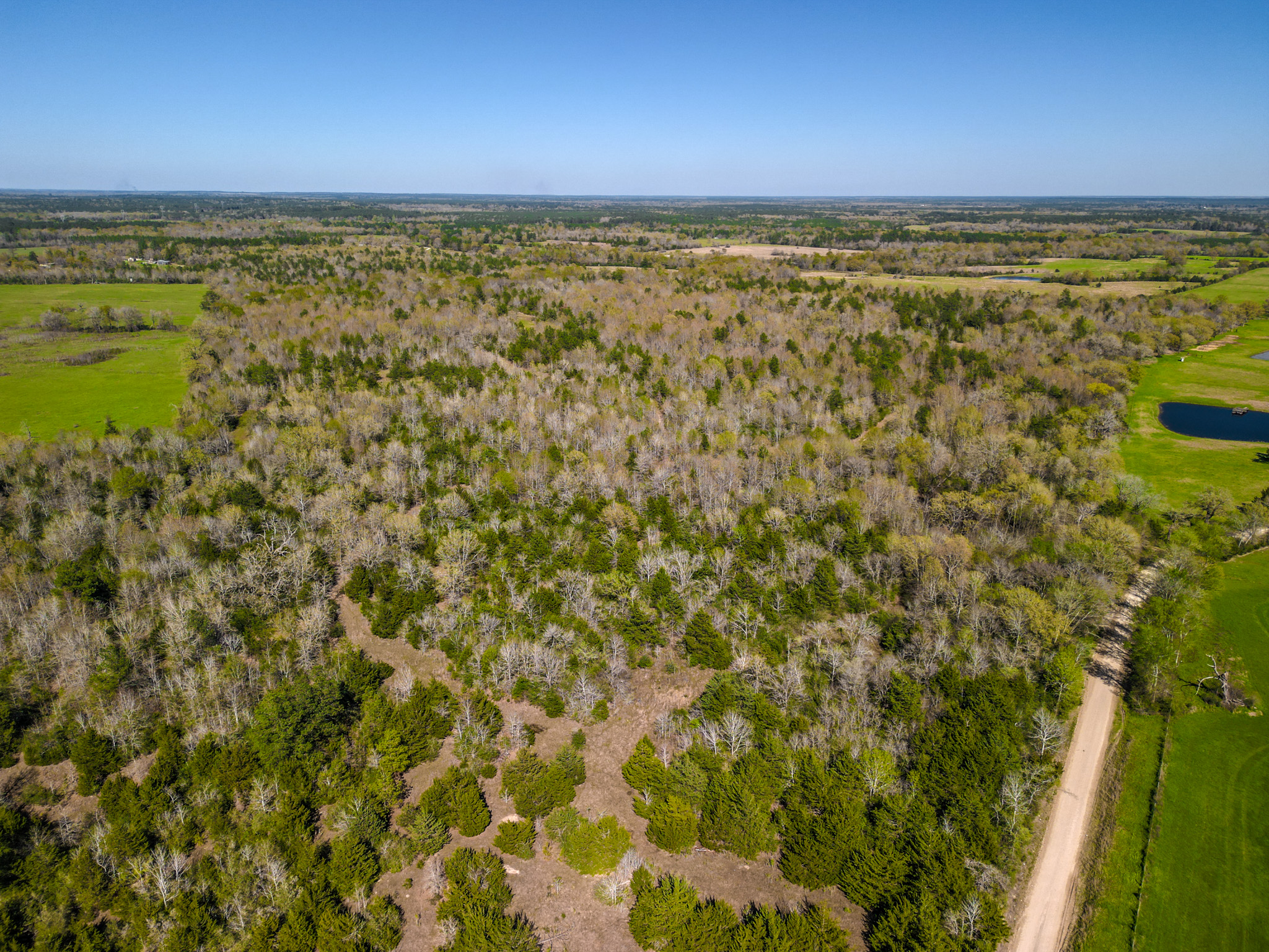
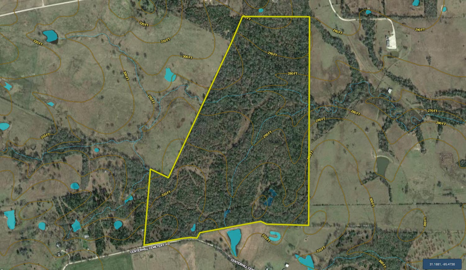
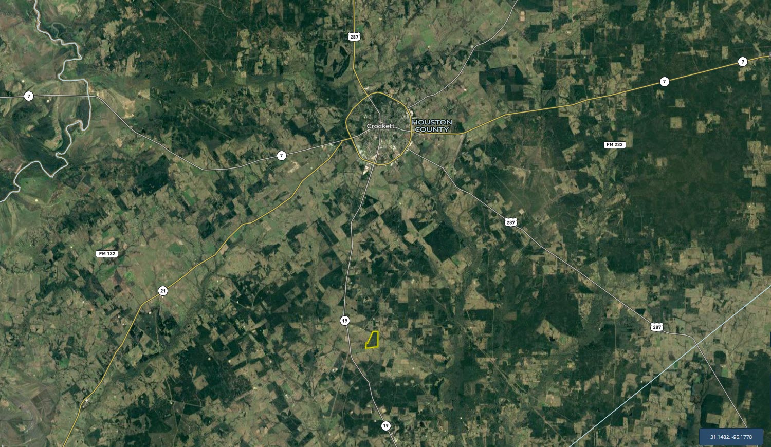
Summary: Hartt Family Ranch has passed through multiple generations of the family but is now coming to the market and is ready to be passed along to the new owner so that they can execute their vision for the property. This tract is slightly irregular in shape with good frontage along a gravel county road near SH 19, which is a direct traffic corridor that leads north to I-20 or south to I-45. Dense native forest with a mixture of various species of hardwood and softwood trees is the focal point of this 144-acre tract with rolling topography. Call today to schedule your private viewing.
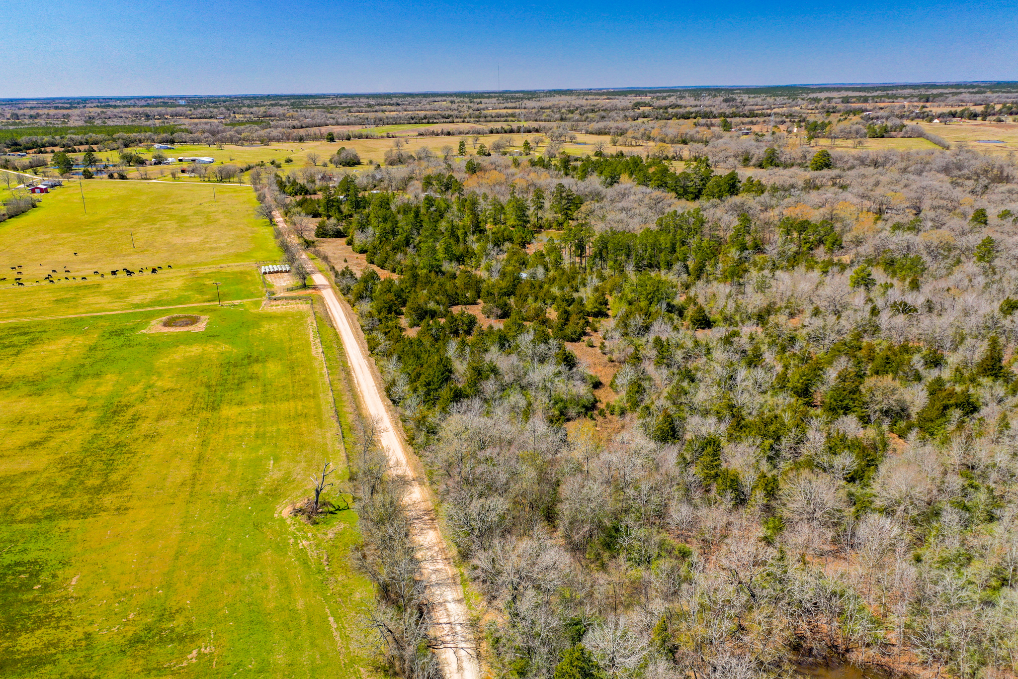
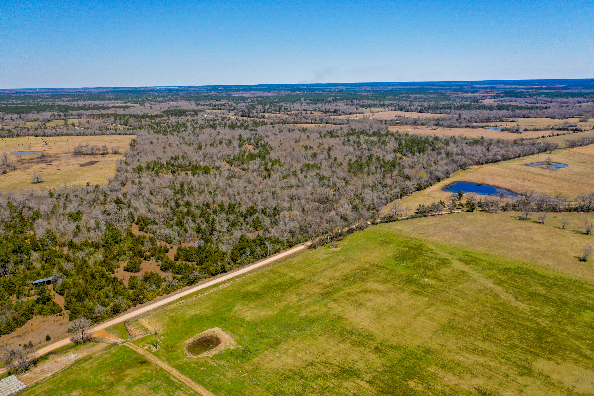
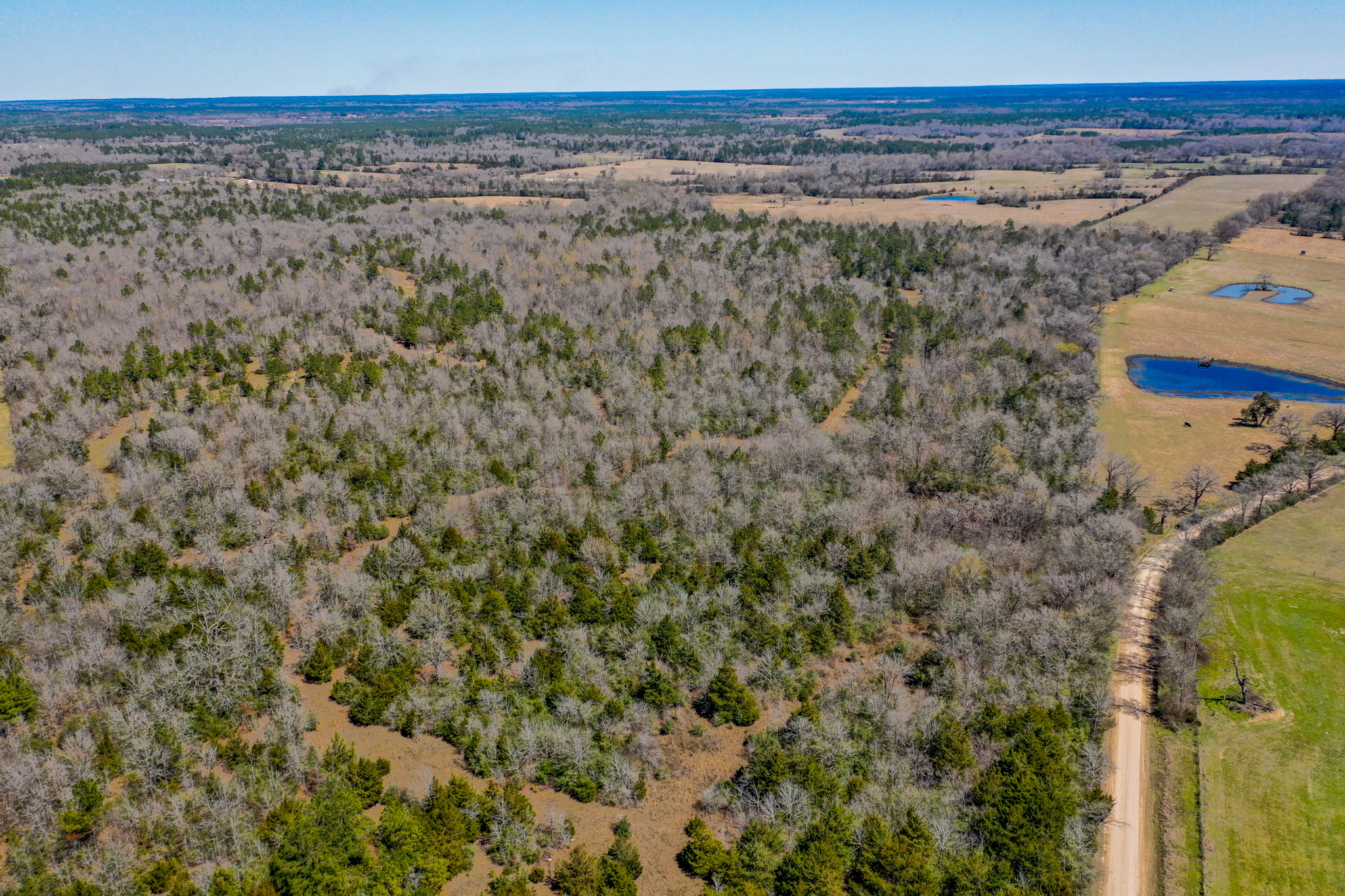
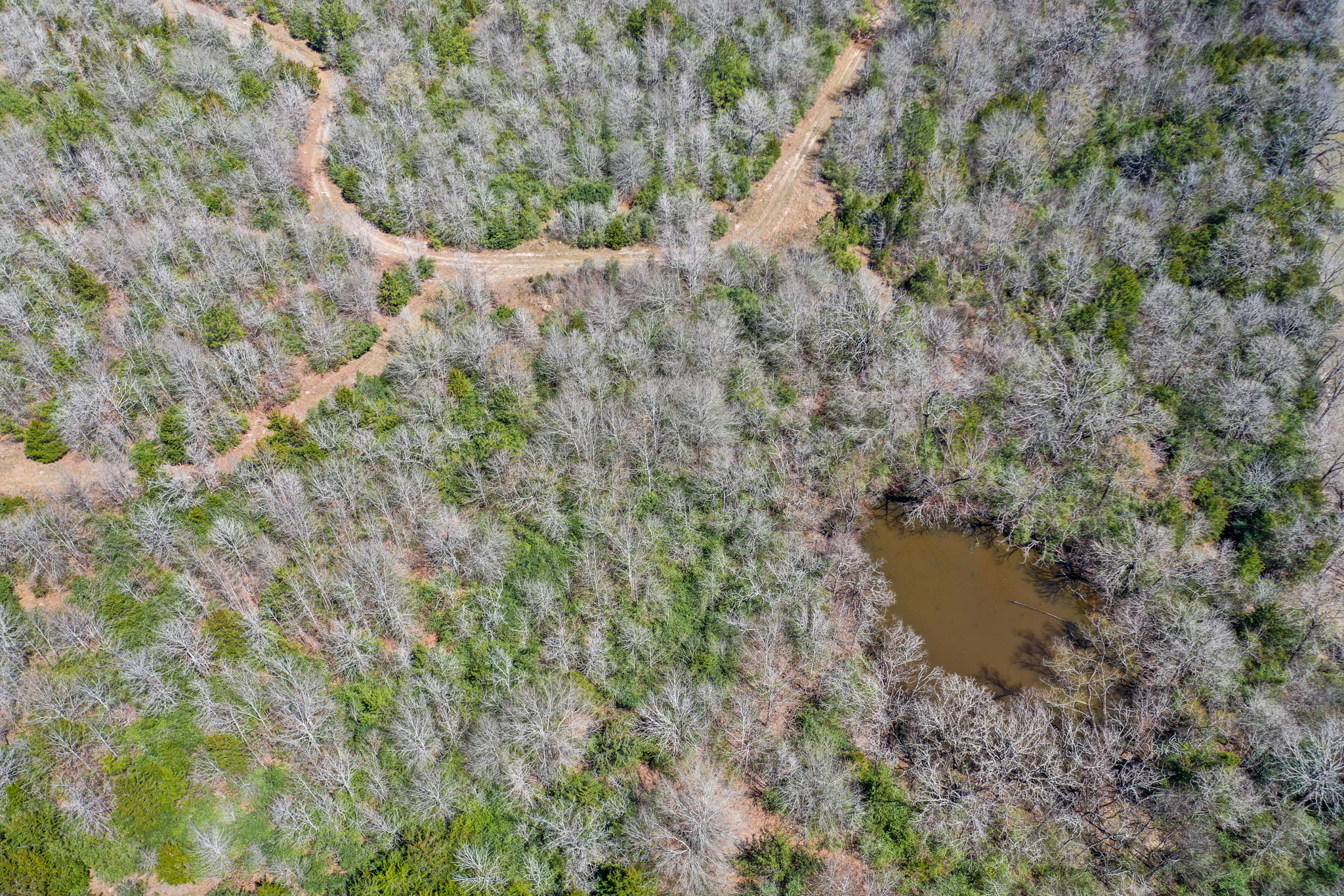
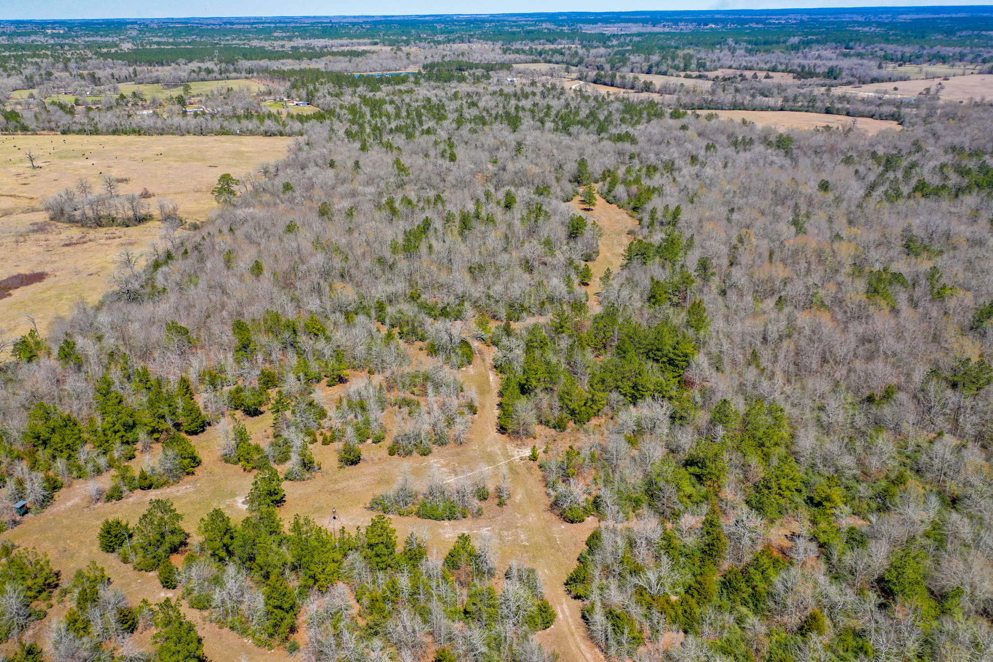
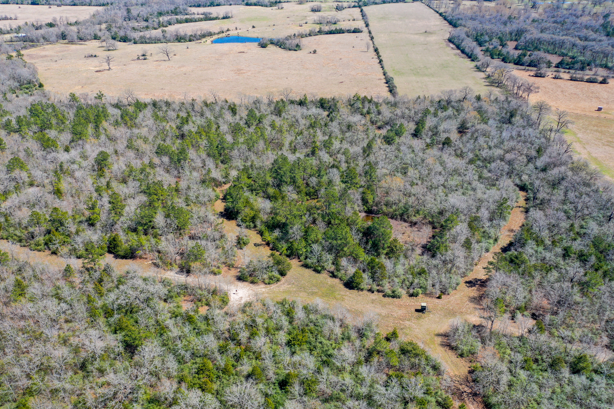
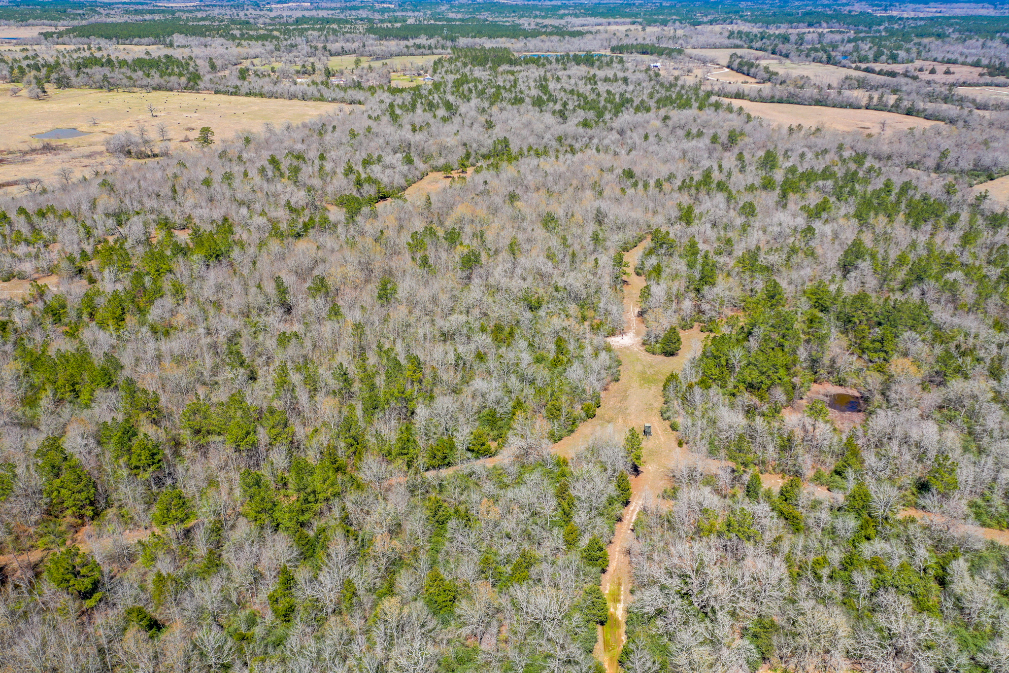
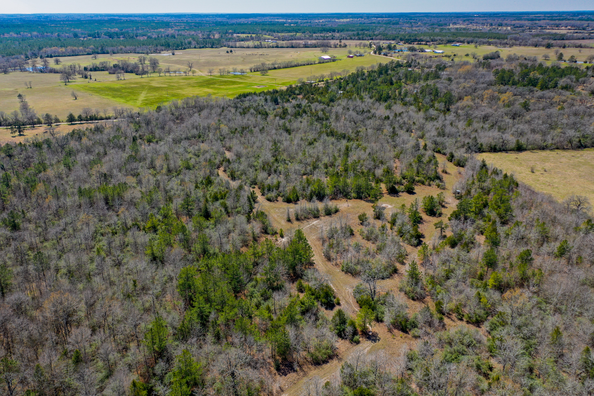
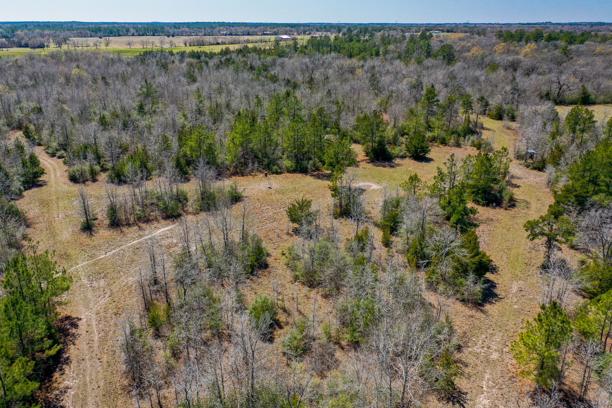
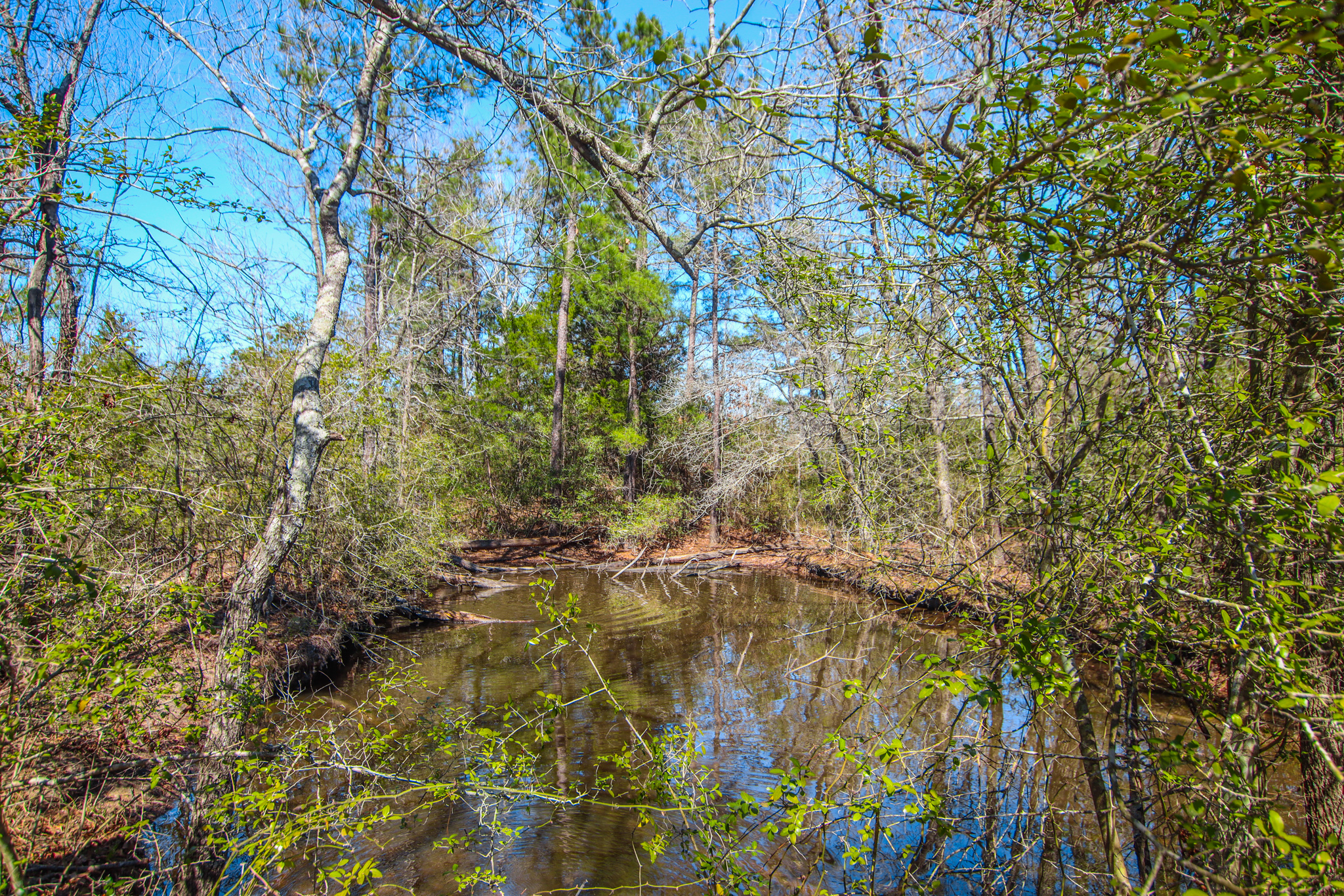
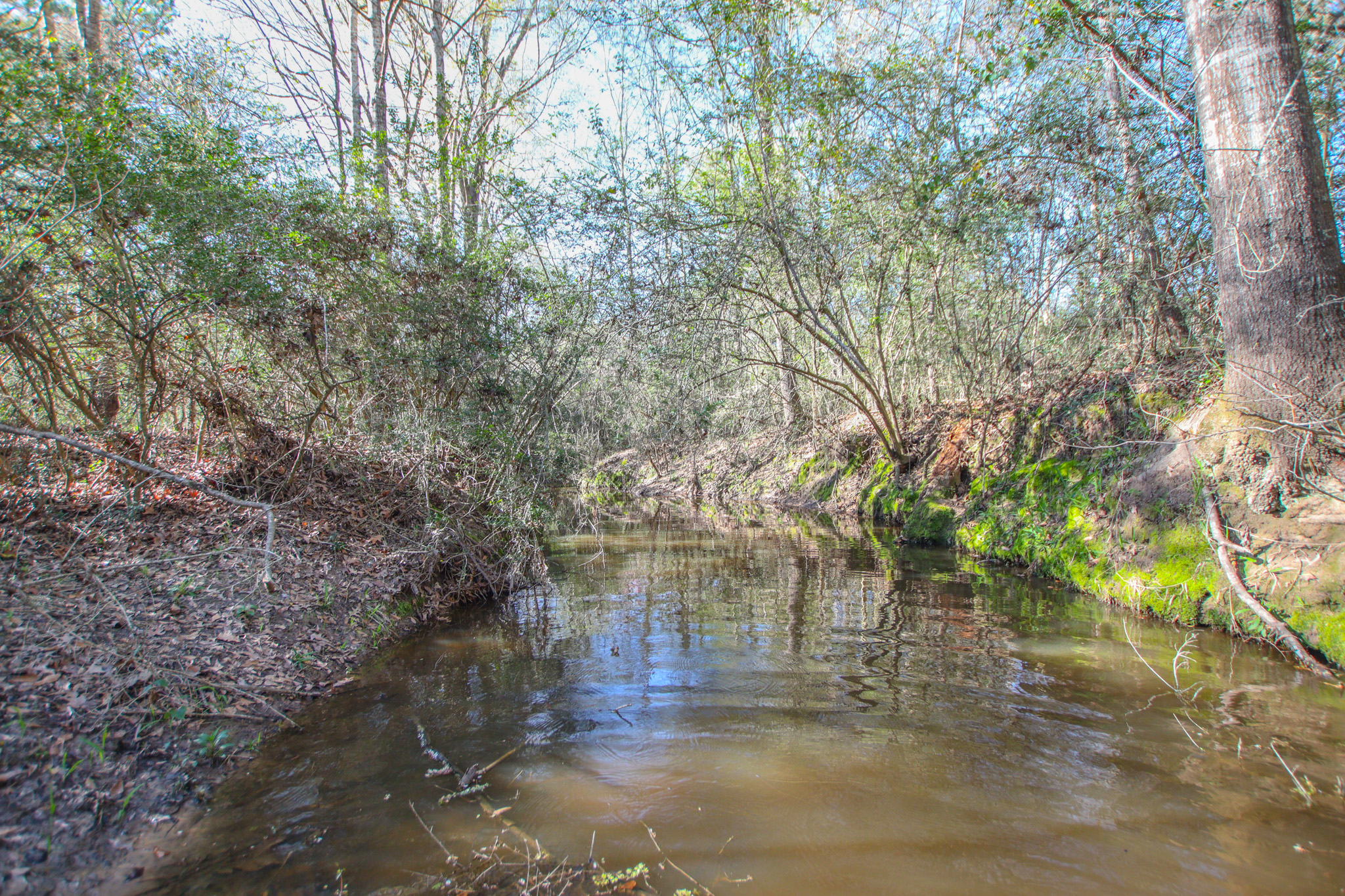
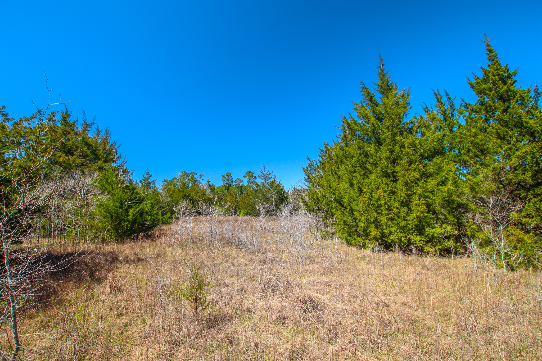
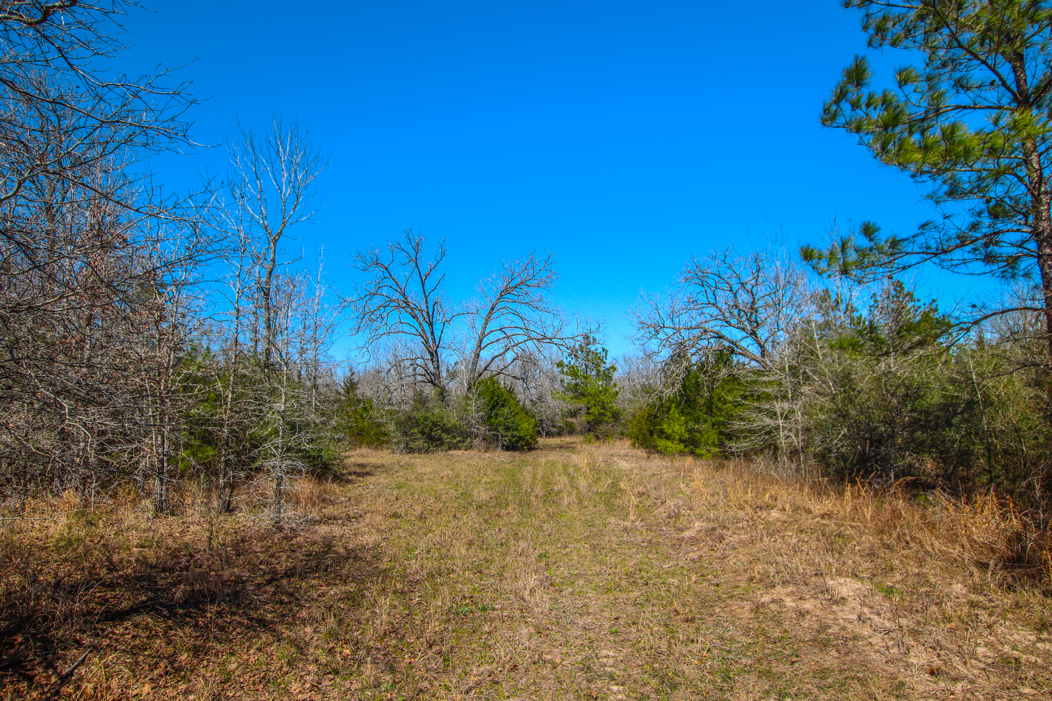
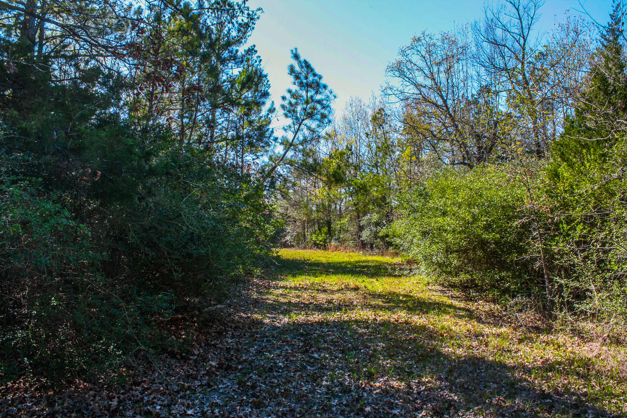
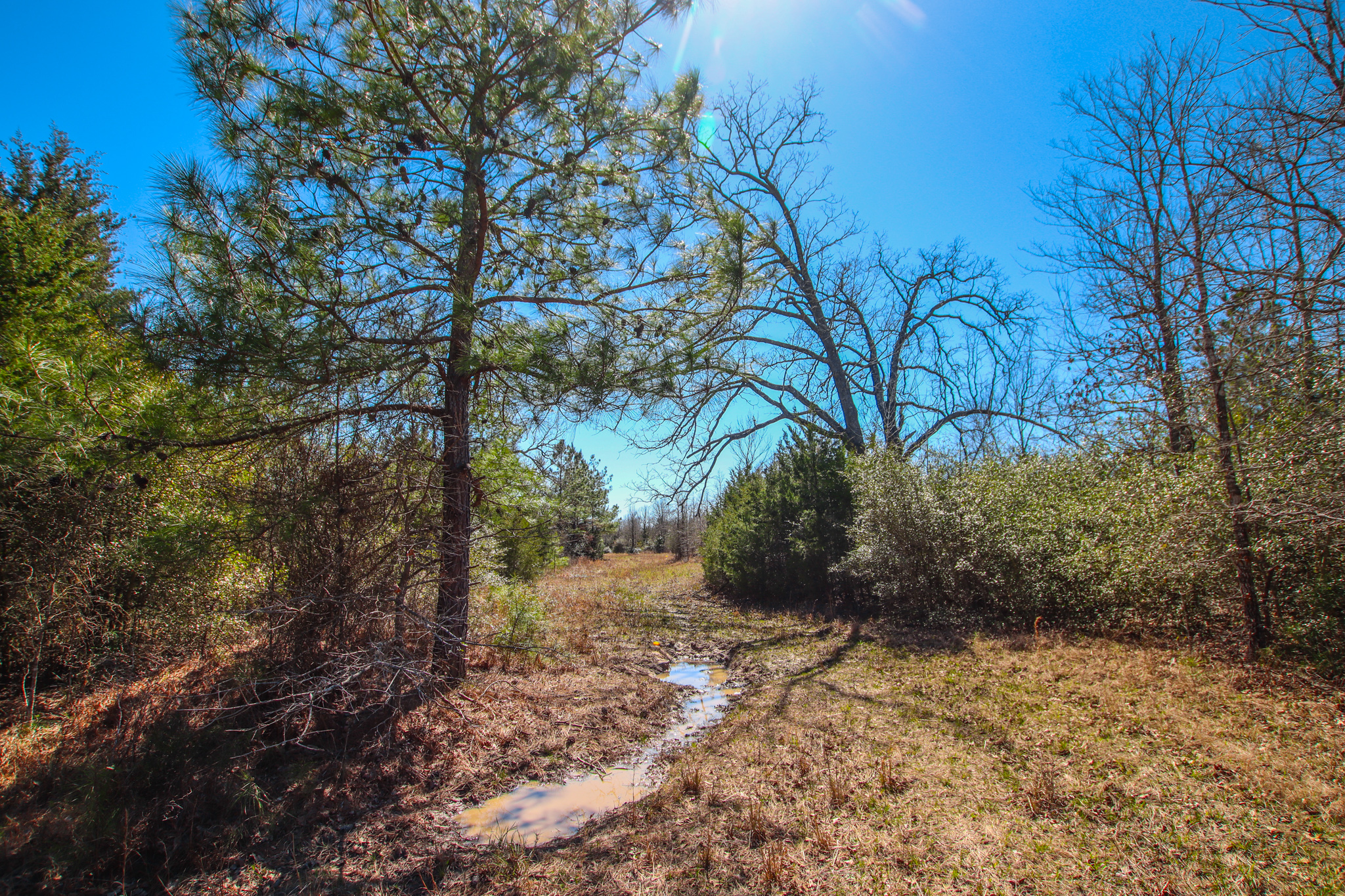
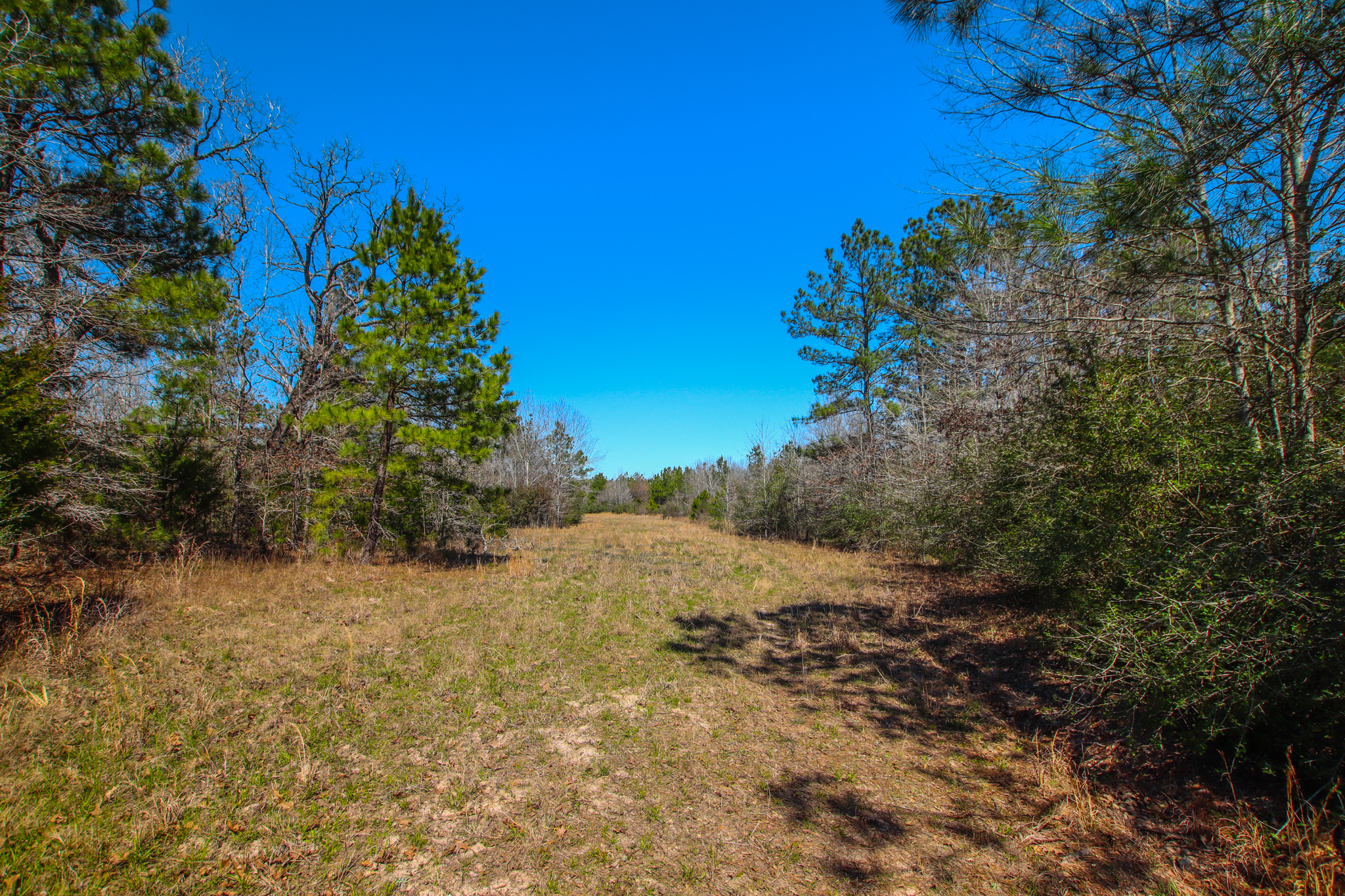
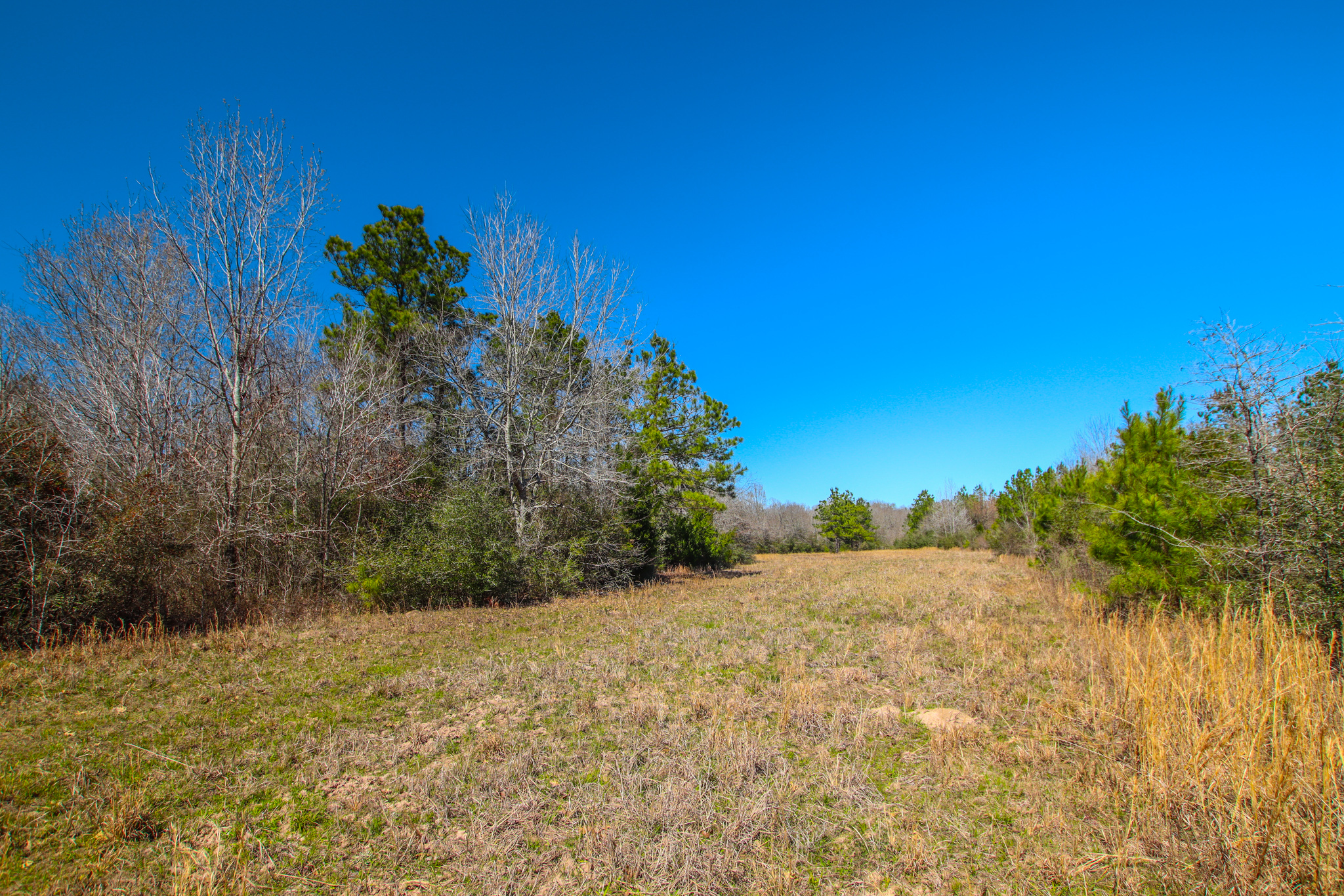
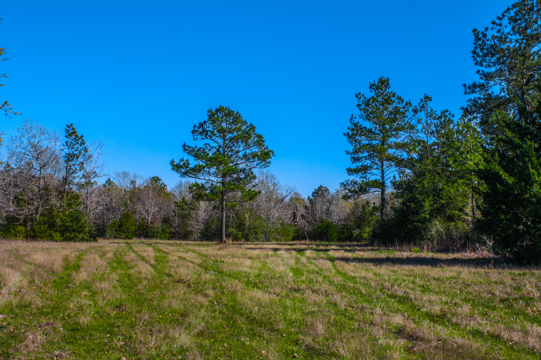
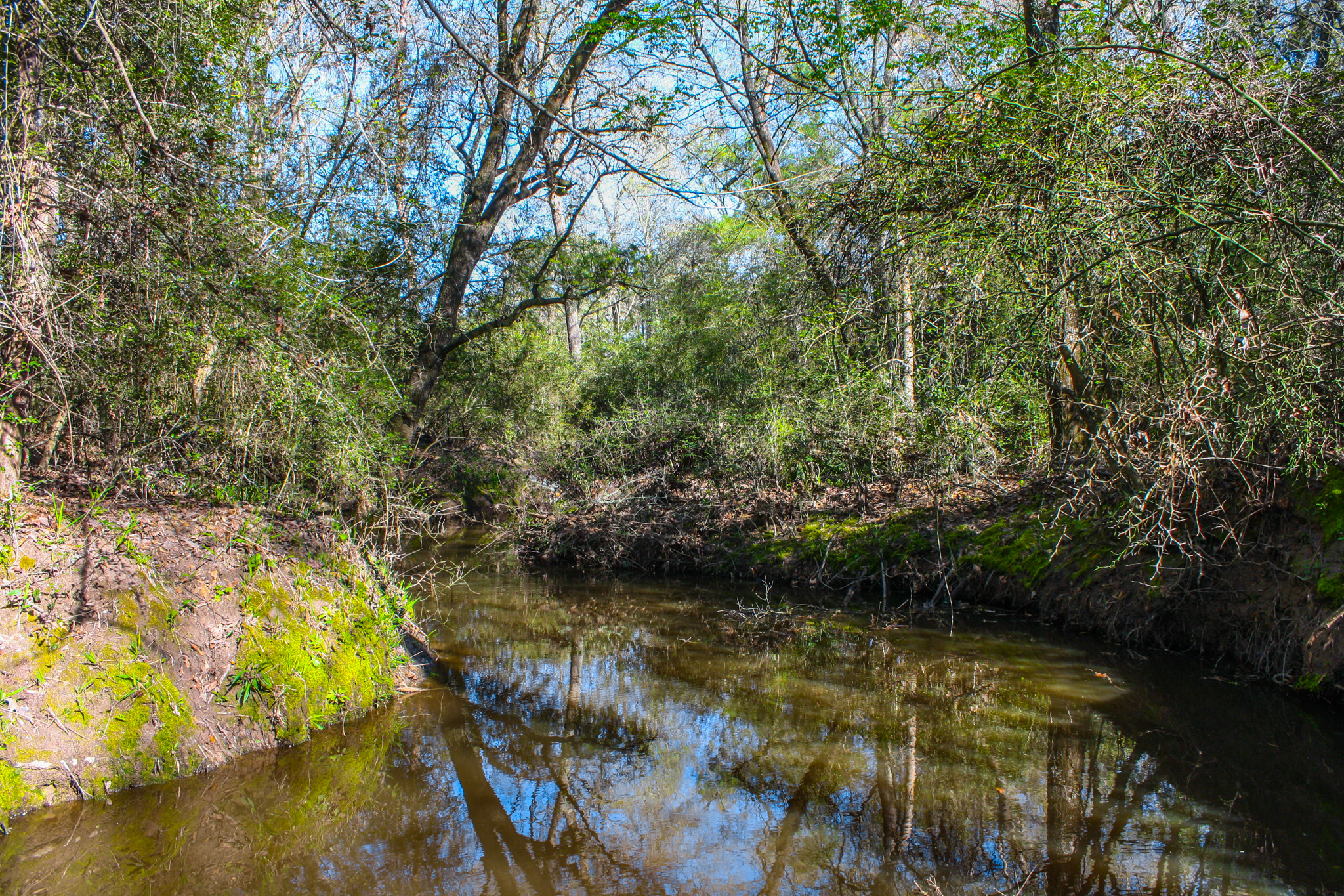
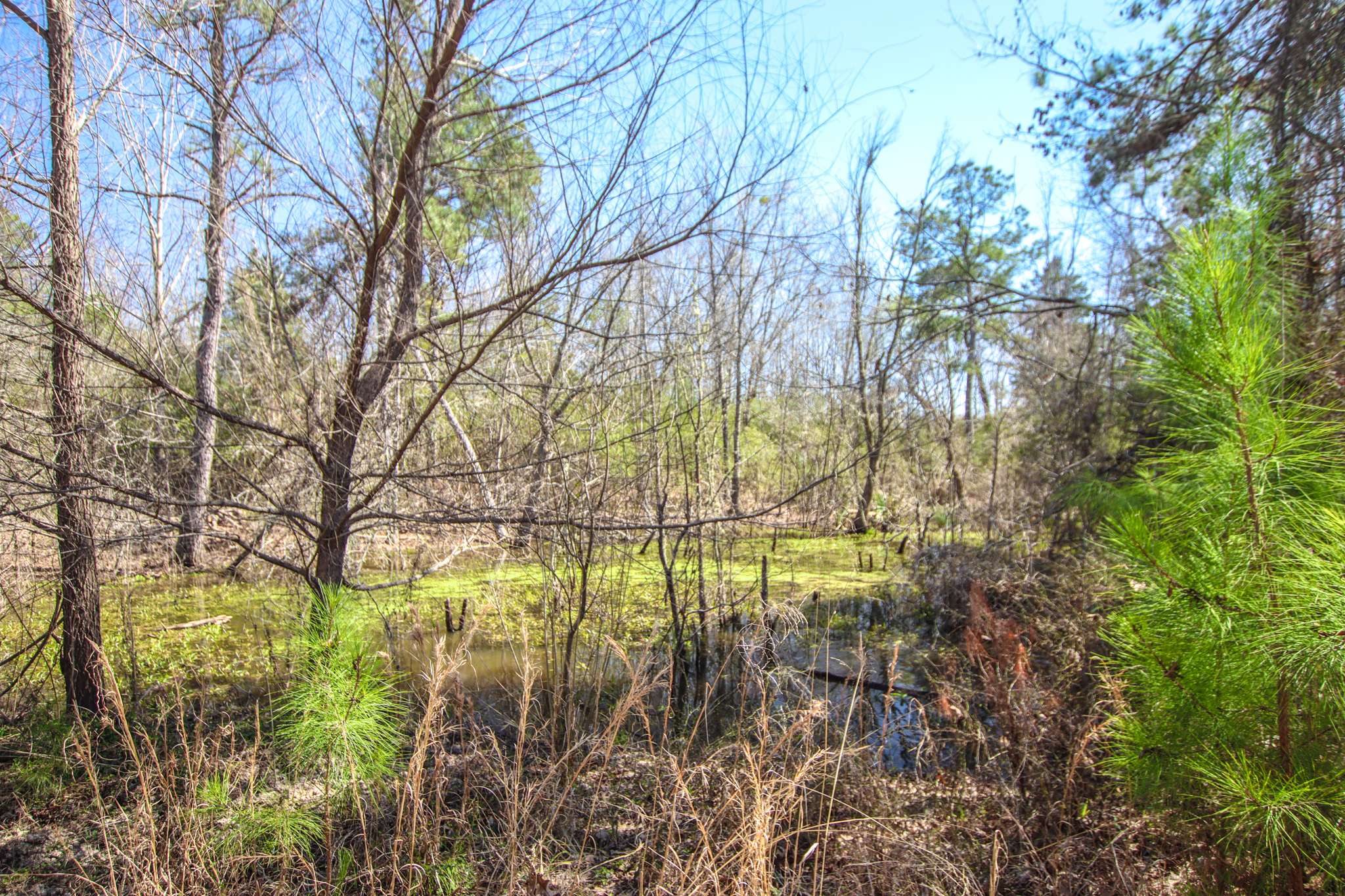
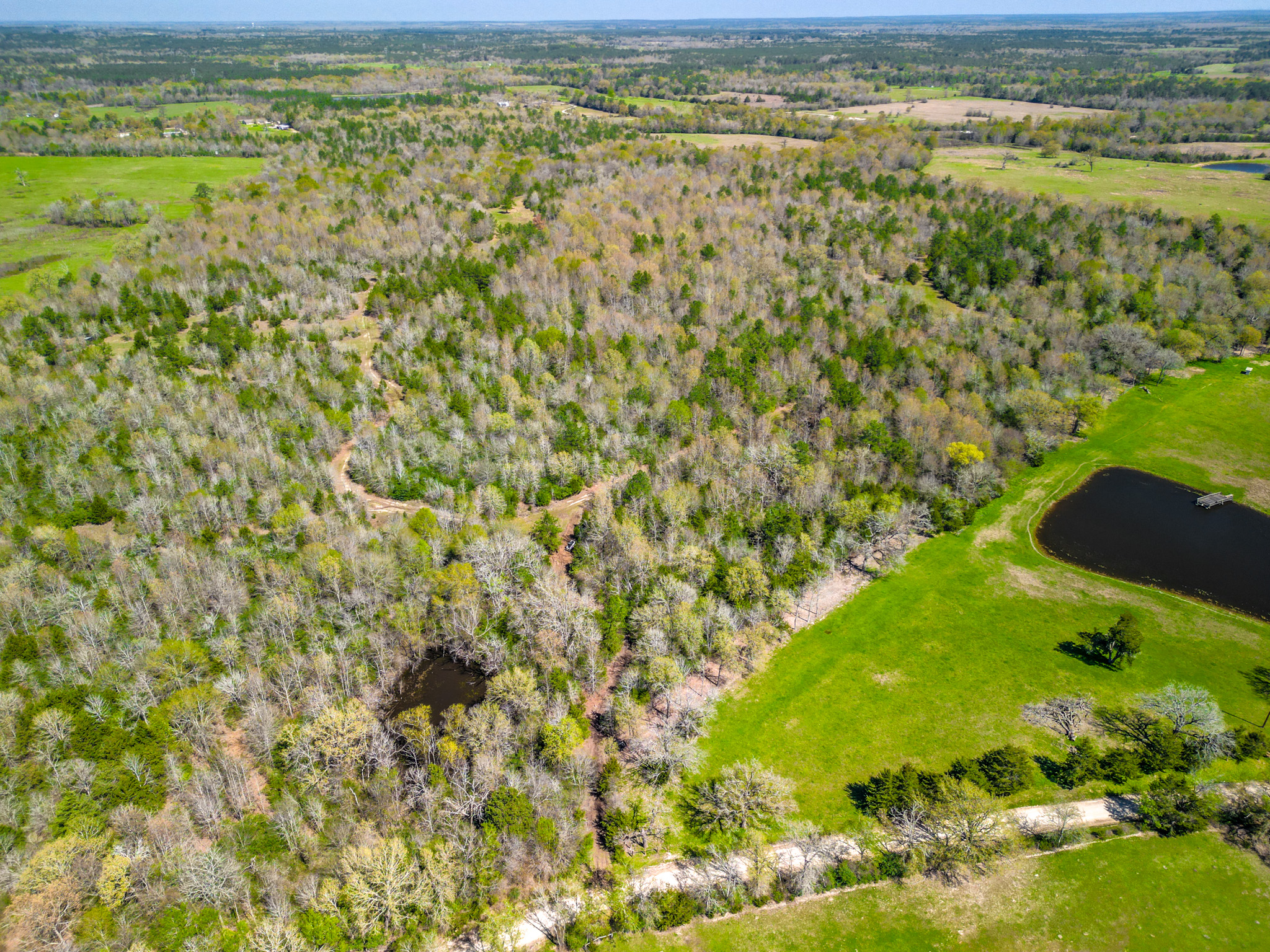
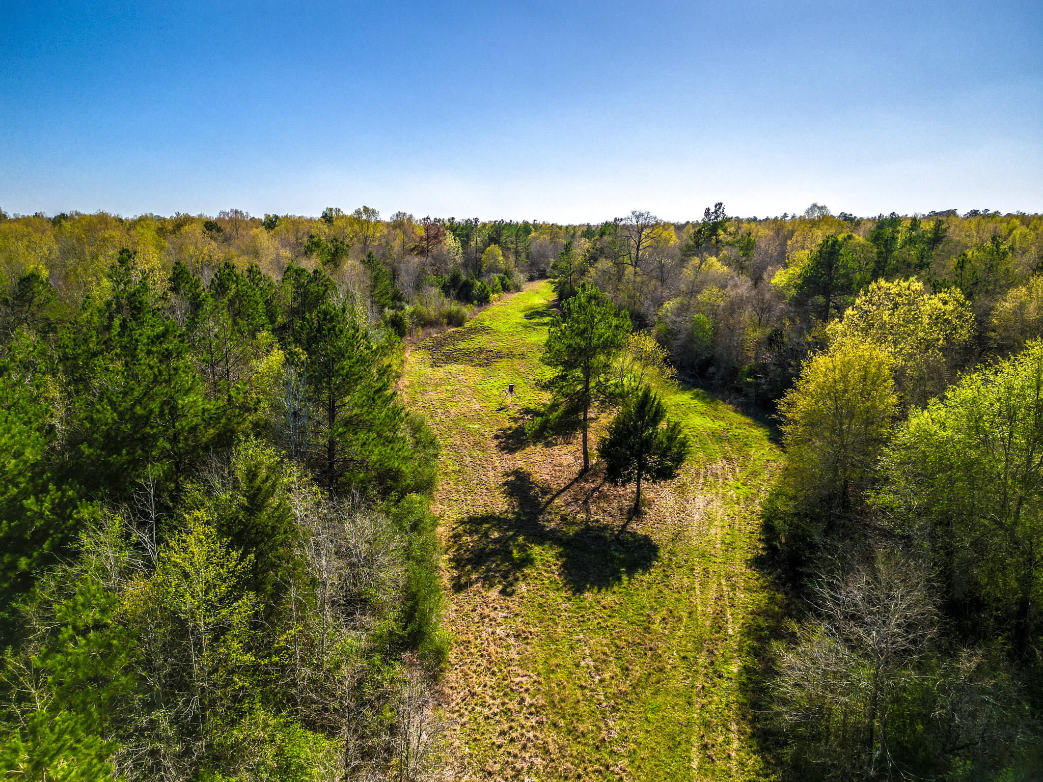
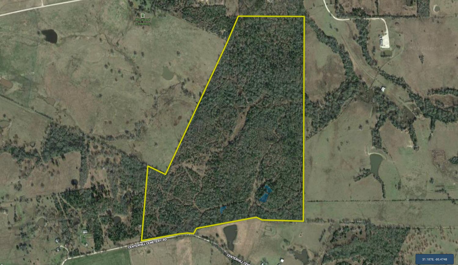
Land Characteristics: This secluded property has a unique and natural beauty with gently rolling terrain, dense tree cover and multiple small ponds as well as two small creeks/drainages. Elevation on this property ranges from an approximate low of 280’ ASL to an approximate high of 330’ ASL, with only a small portion of the property that appears to be impacted by flood zone area. The flood zone portion appears to be limited to a very small area in the northeastern portion of the property that benefits from two small creeks that both drain and ultimately converge in this area. The property is almost entirely wooded with a diverse stand of mixed, native timber. Multiple interior trails and smaller roads intersperse the property and provide very good access to the southern 3/4 of the property. The larger of the two creeks currently limits vehicle traffic to the northern quarter of the property and it is currently only accessible by walking. The highest elevation on the property is located near the southwestern corner of the tract along the county road frontage. This would be an excellent site for a cabin or homesite that is close to electricity.
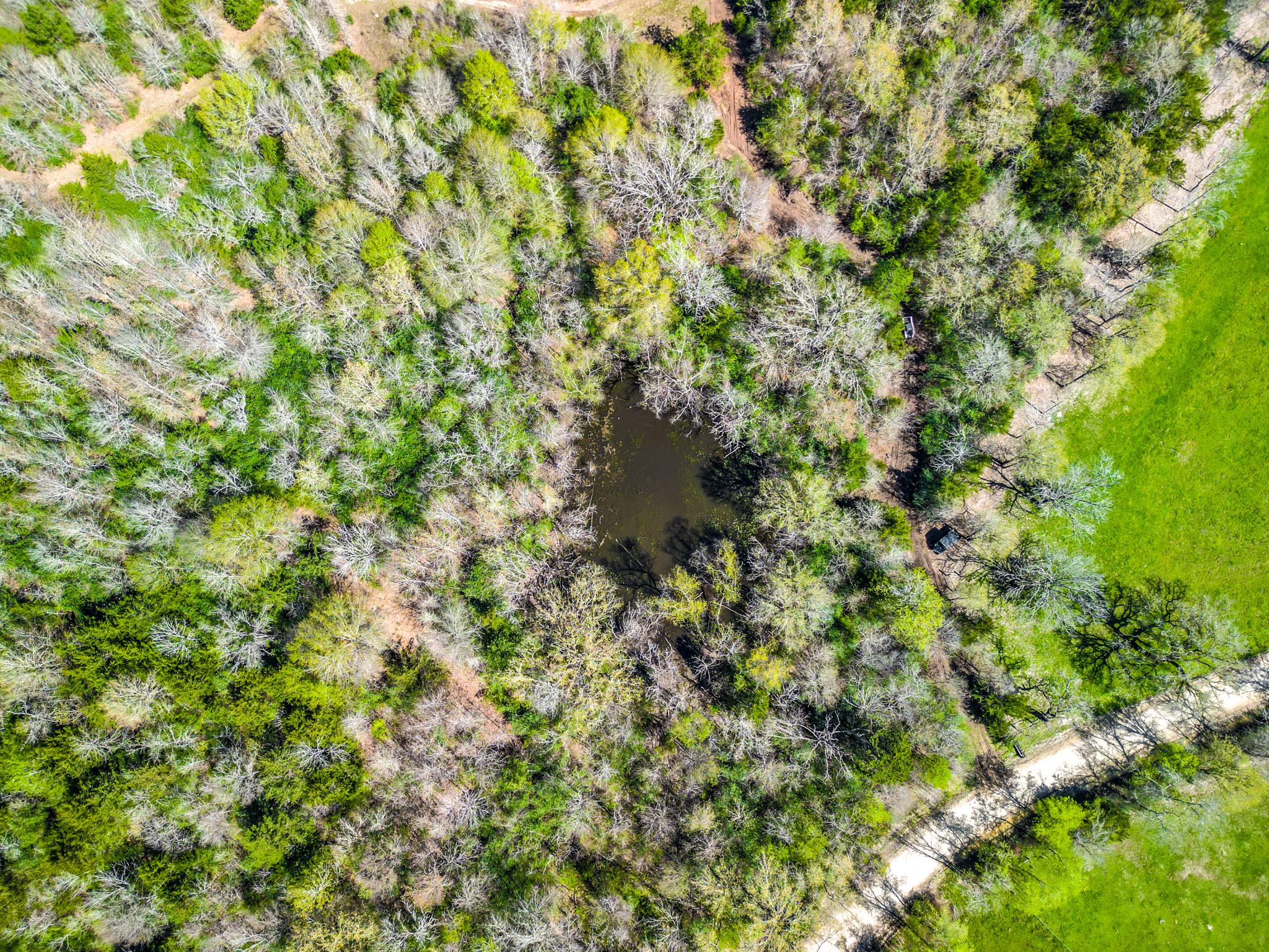
Surface Water: There are four small ponds which are primarily located in the southern portion of the property. These are likely older stock ponds that are very shallow and would require some dredging to create more depth and a more consistent water level. Regarding springs or native creeks, there are two drainages noted on the topography map. One appears to originate just south of the property and the other originates west of the property, but both converge in the northern half of the property near the eastern boundary. Currently, the creek channel in the eastern portion of the property has a significant amount of water, but it is unknown how this creek performs during periods of drought. Overall, there is adequate water on the property for most wildlife purposes and the potential to develop larger stock ponds that might offer more recreational possibilities.
Improvements: There are no improvements on the property. Deer stands and feeders are personal property of deer hunters.
Location: The property is located approximately 0.75 miles east of SH 19 along the northern boundary of CR 4040. Coordinates to the entrance along CR 4040 are: 31.1890; -95.4652.
Minerals: The owner will reserve any owned mineral rights.
Easements: No known easements. No survey is available.
Summary
Address
Land Type
Property Type
Land and Farm Property Types
Road Frontage
Road Surface
Fencing
Land Details
Details
- Diverse wooded tract of land with excellent recreational potential
- Approximately 50’ of elevation change
- Four small ponds and two small creeks (mostly wet weather)
- Located within Lovelady ISD
- Close proximity to SH 19
- Ag Exemption in place
- All boundary lines on map exhibits are approximate and should be verified by buyer
Other
Coordinates
Annual Taxes
Sold Property
For more information or to see additional properties currently for sale see Cody Robertson's listings.