Houston County
Open To Wooded Tract With Rolling Topography And A Live Water Creek
3064 E FM 227 Grapeland, TX 75844


Description
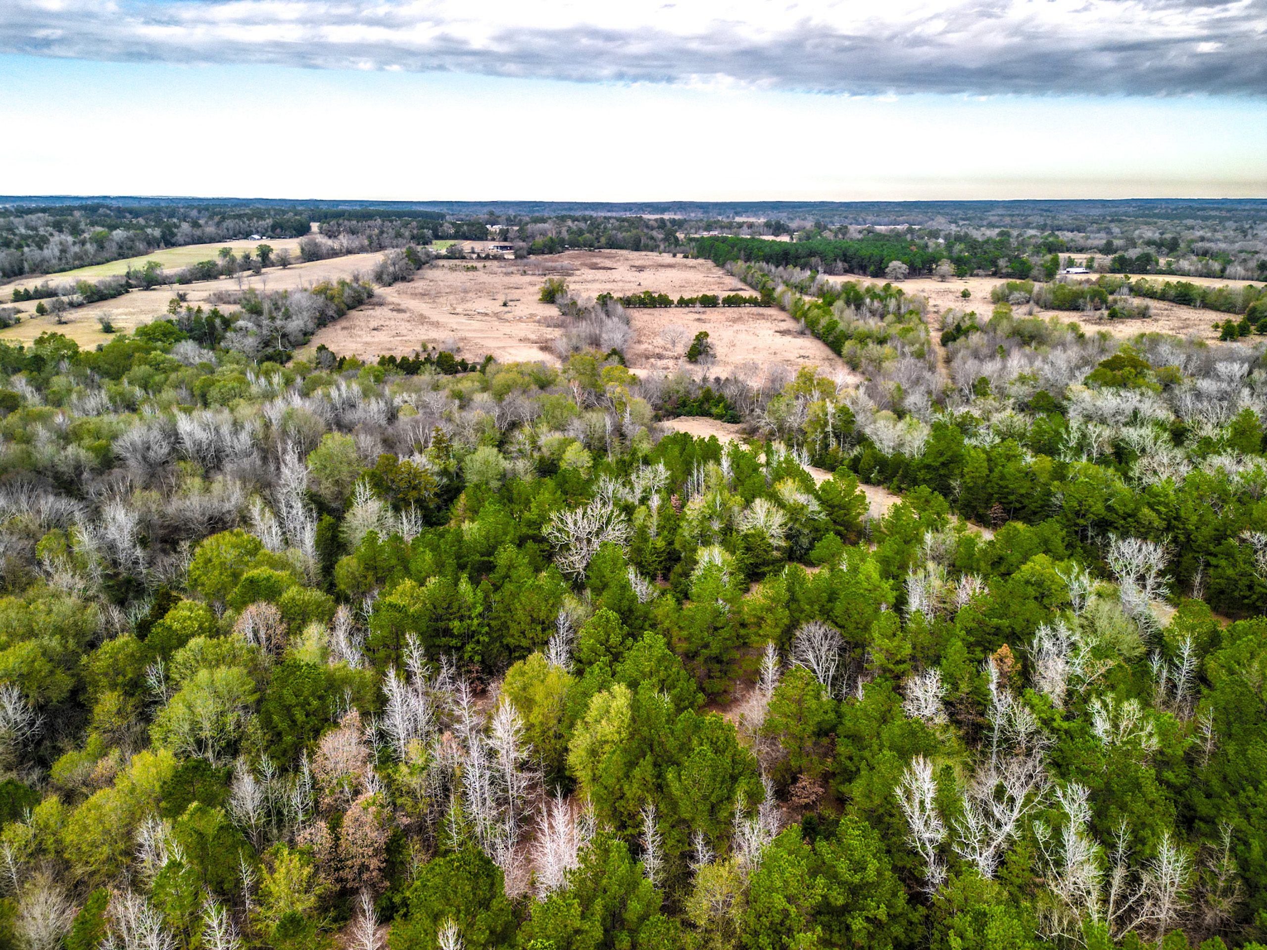
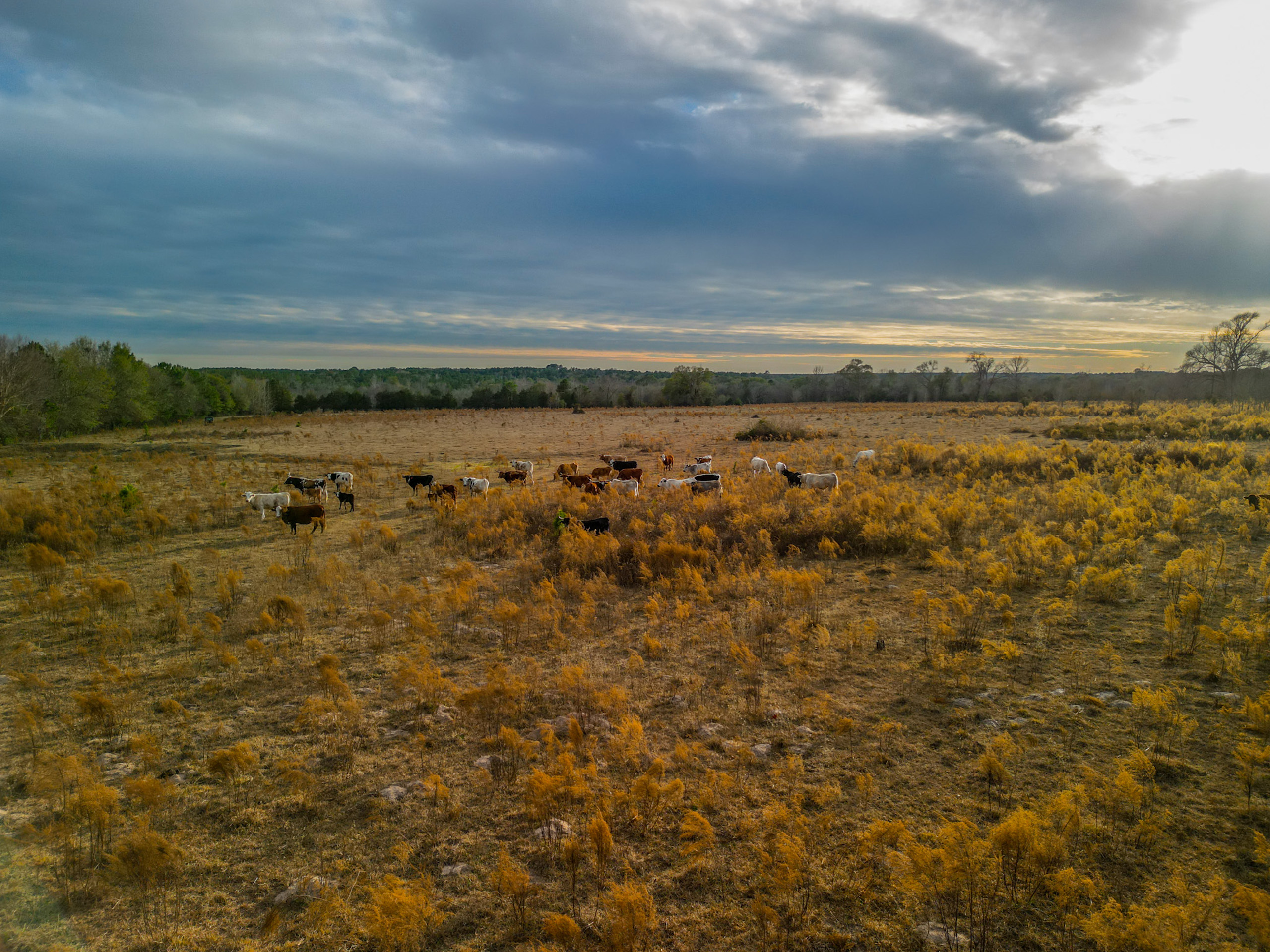
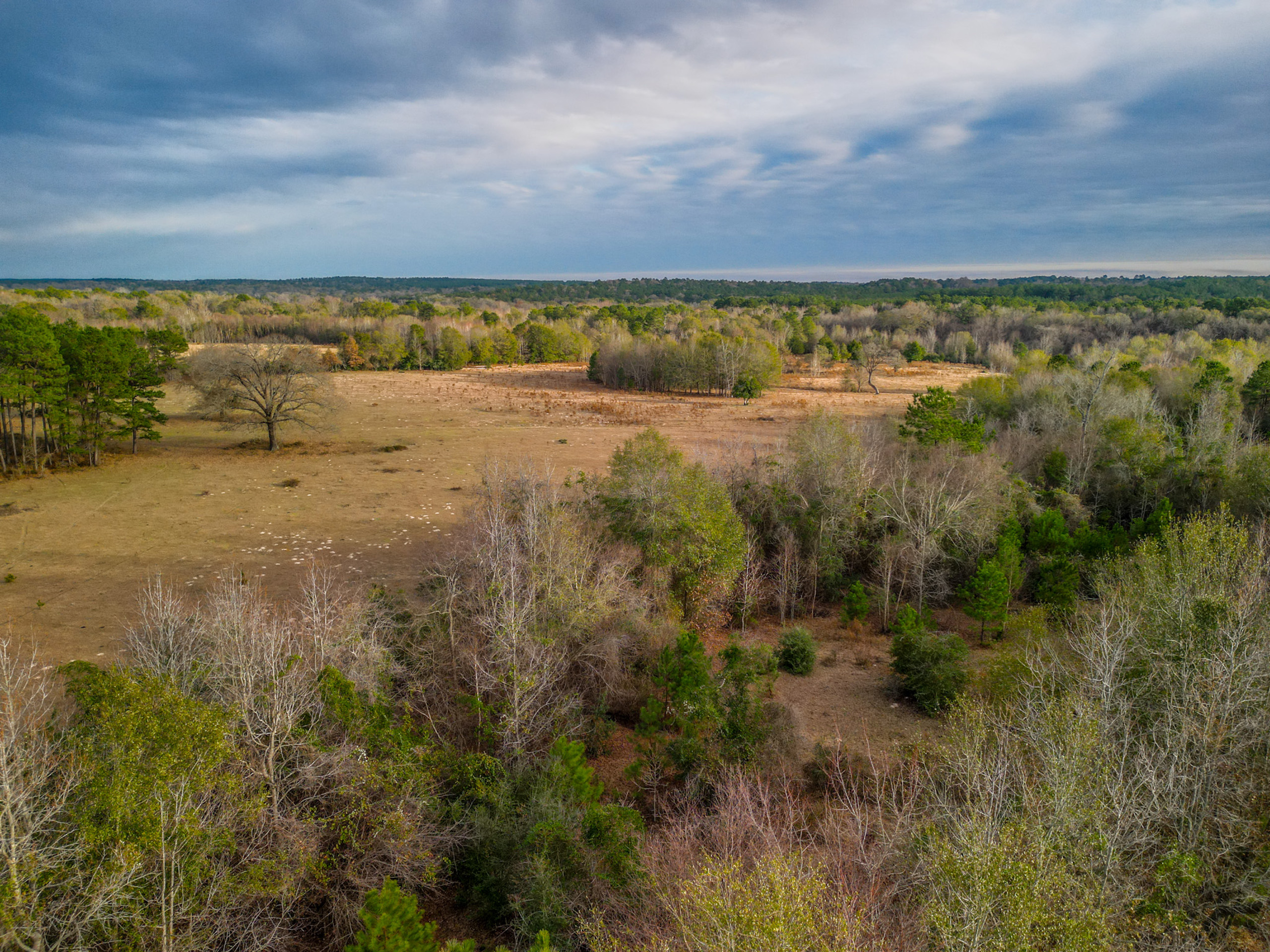
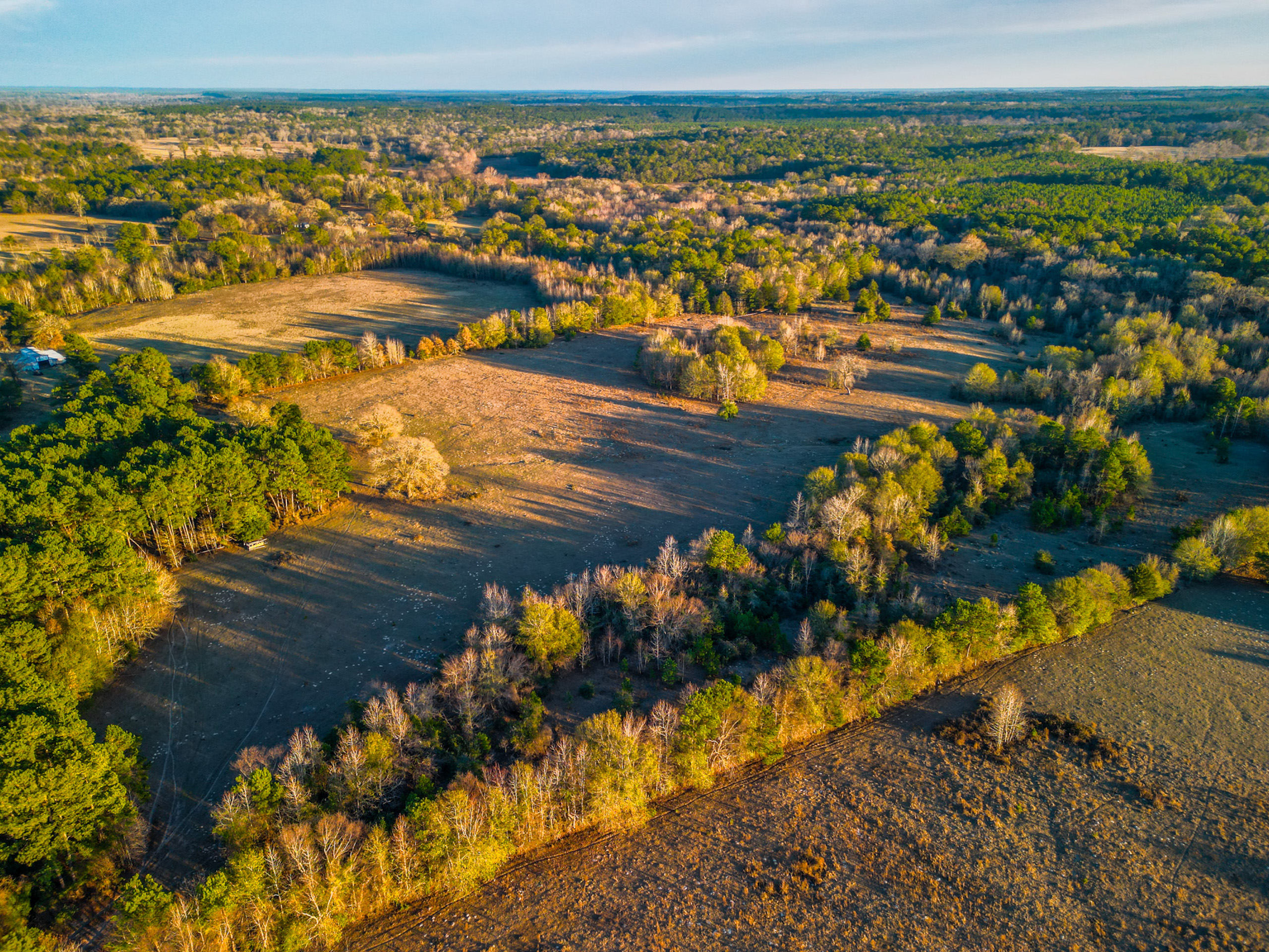
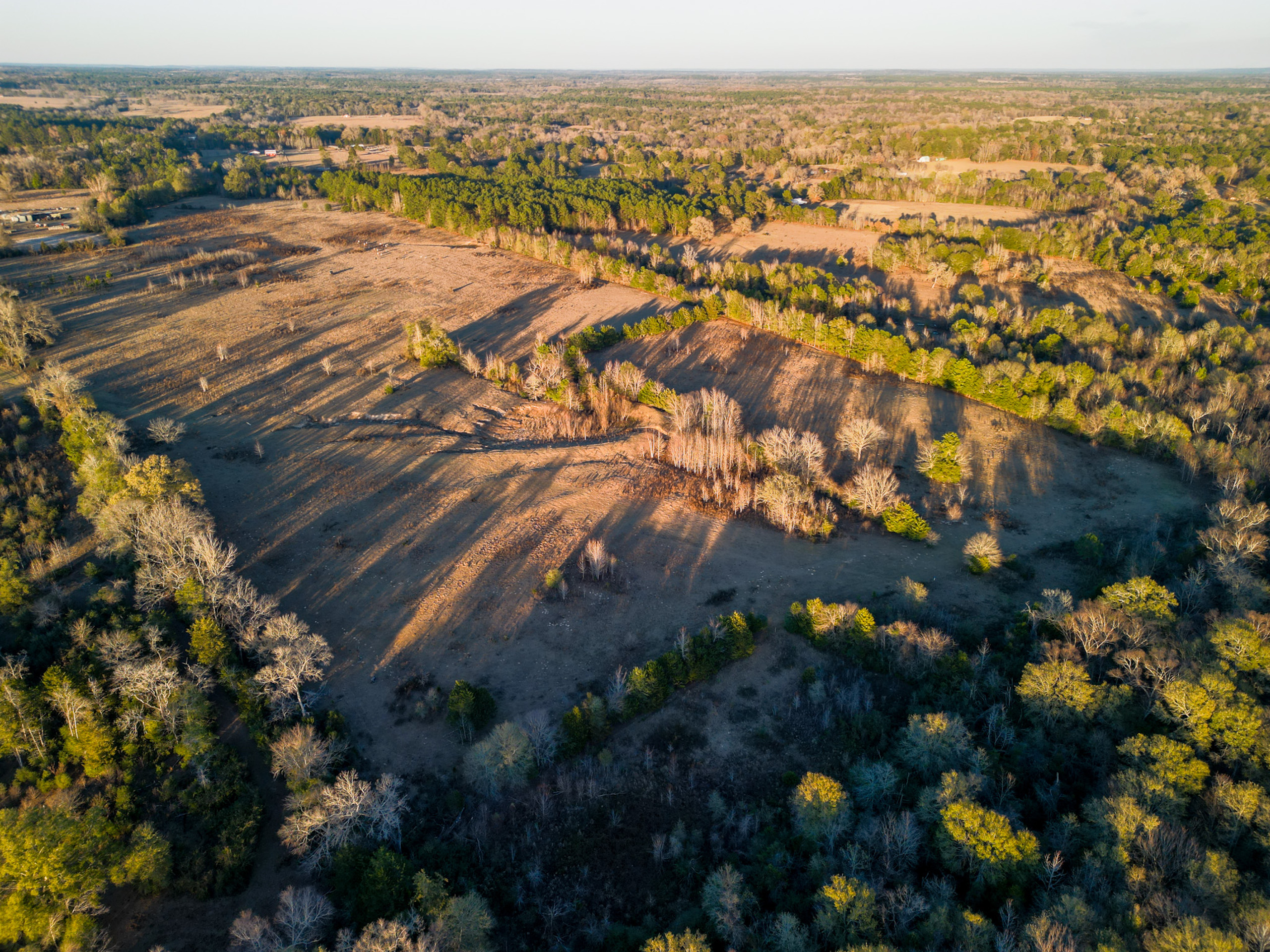
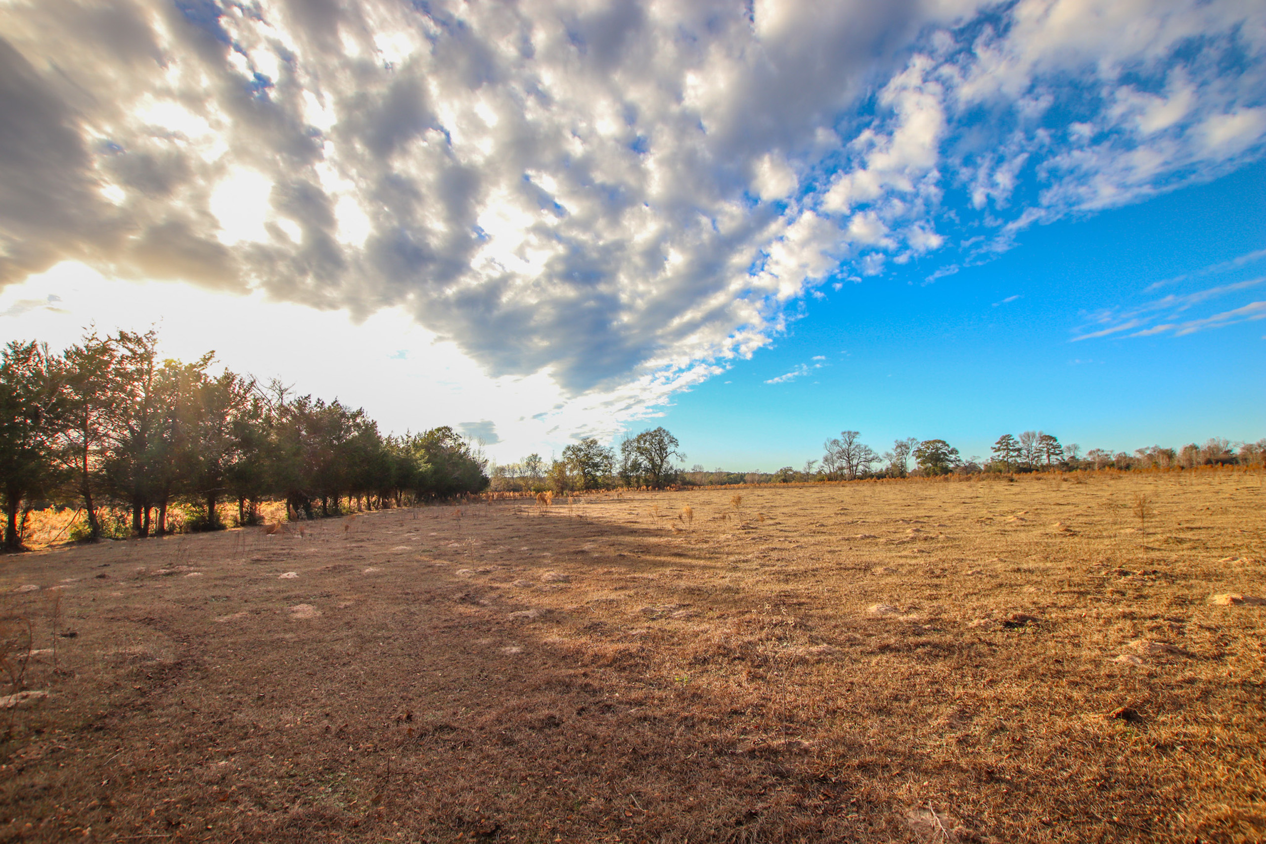
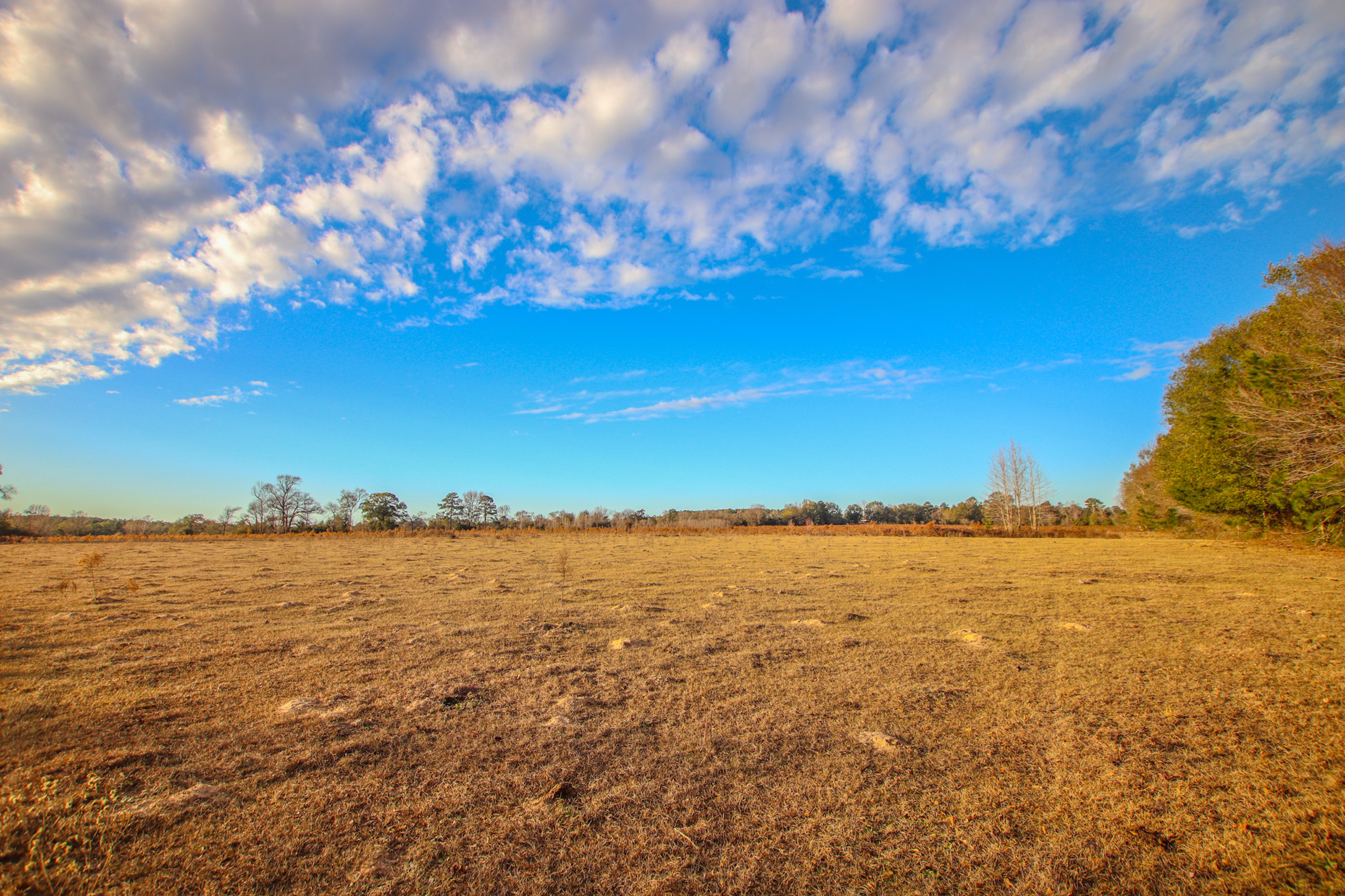
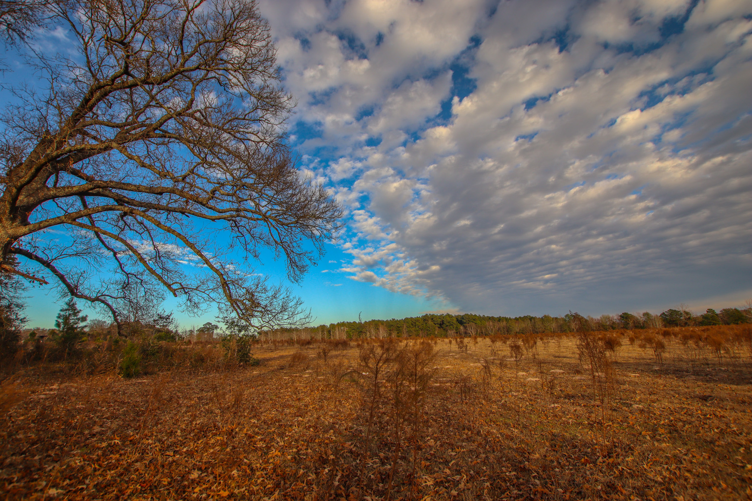
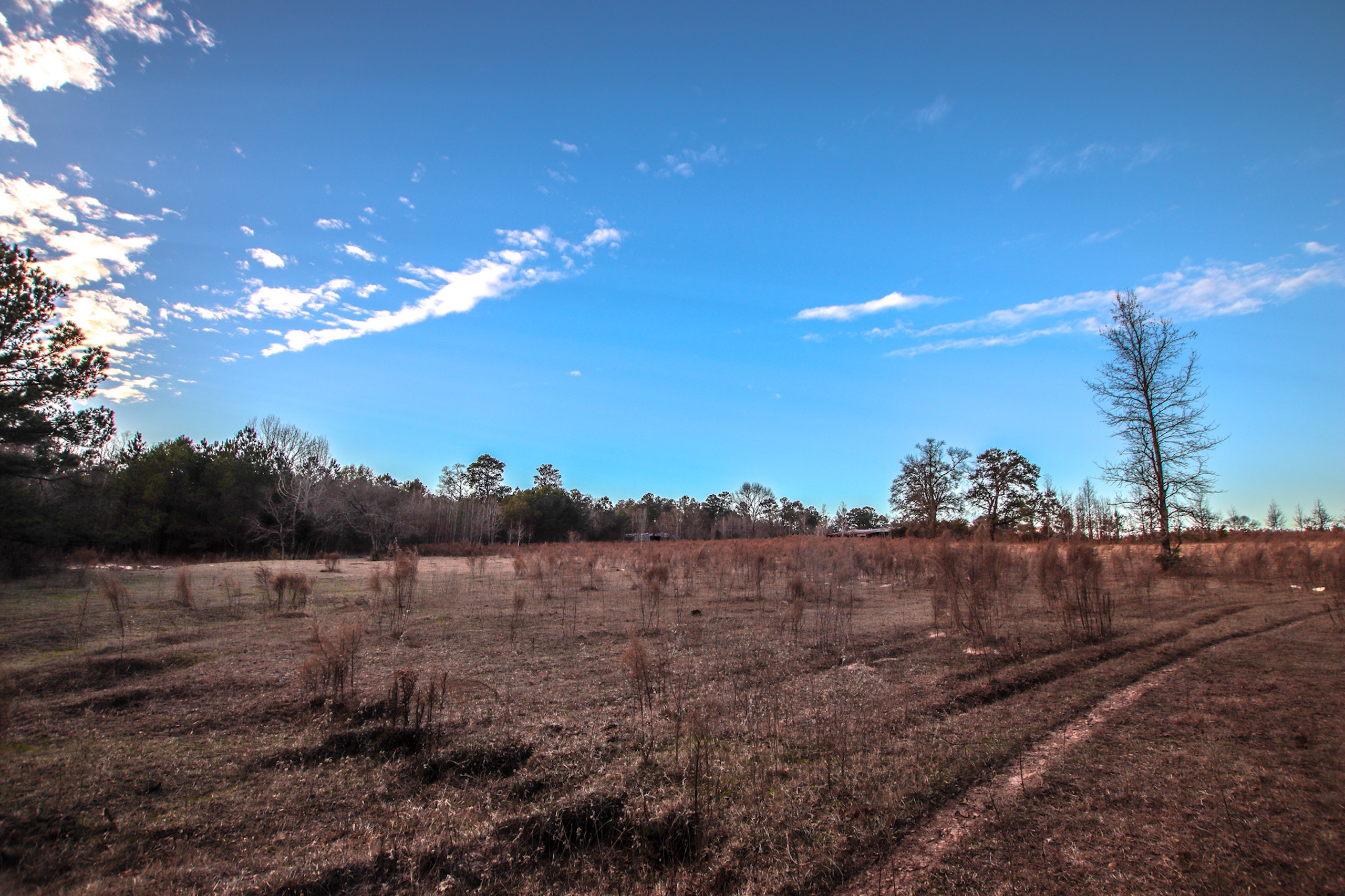
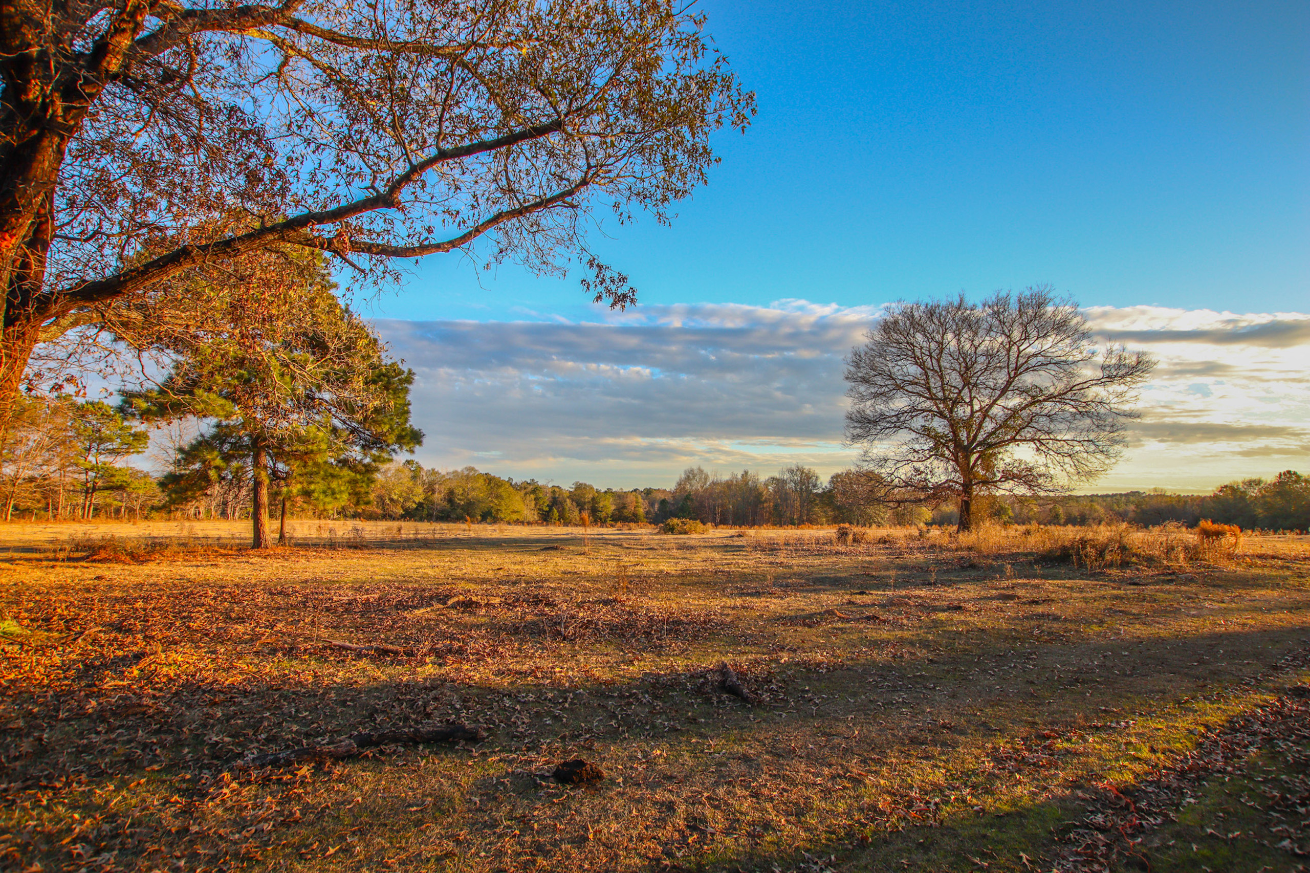
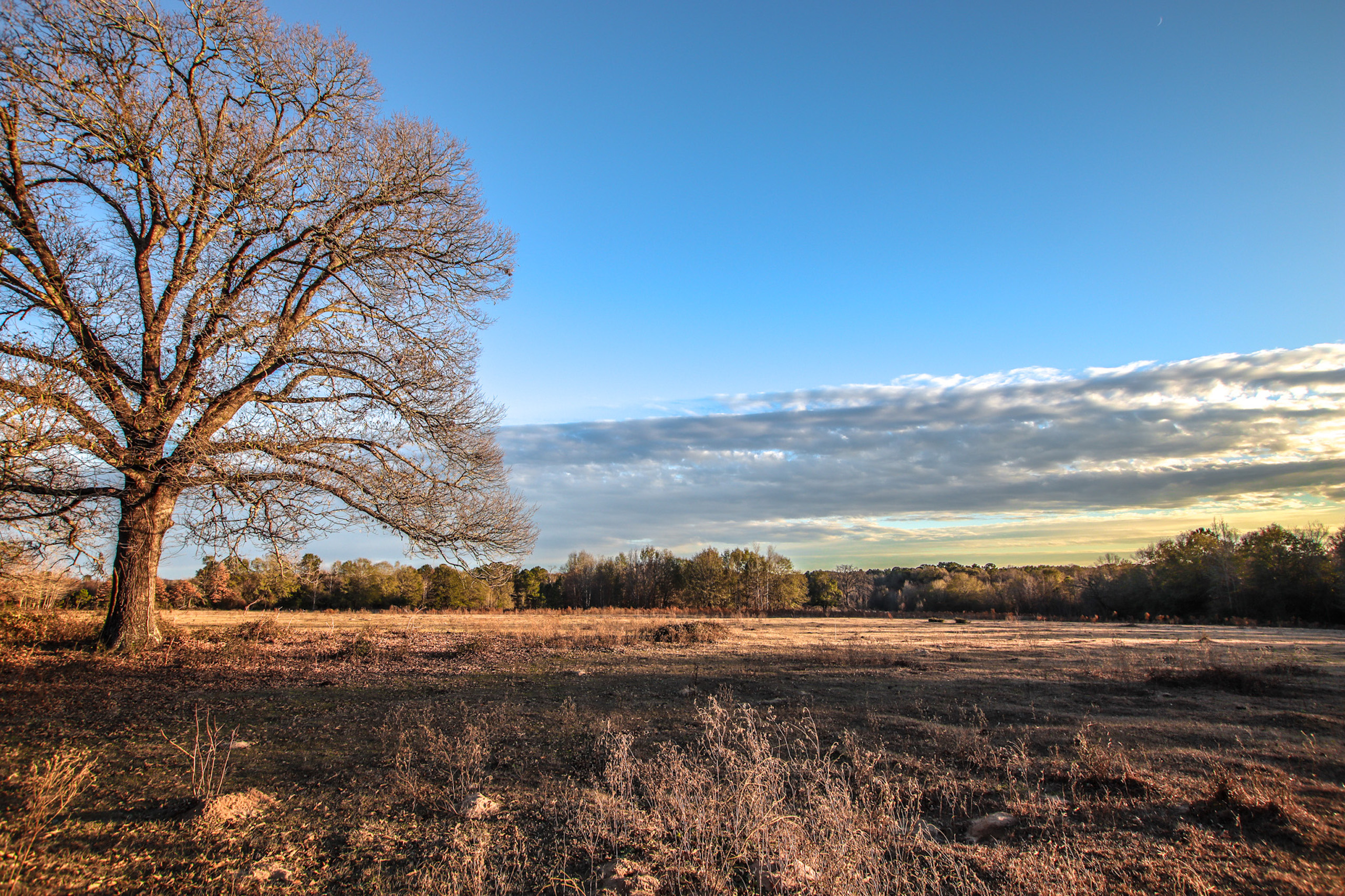
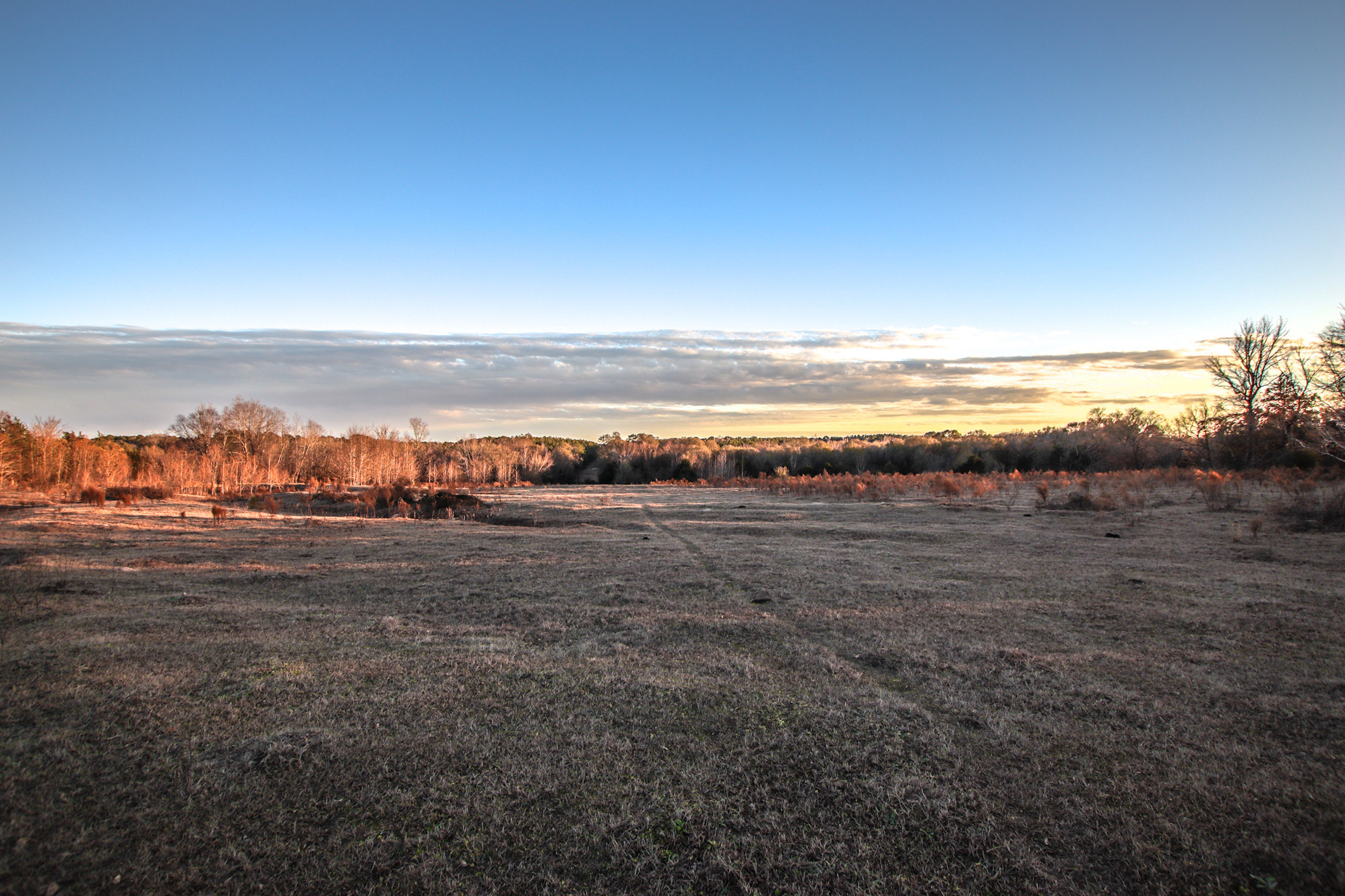
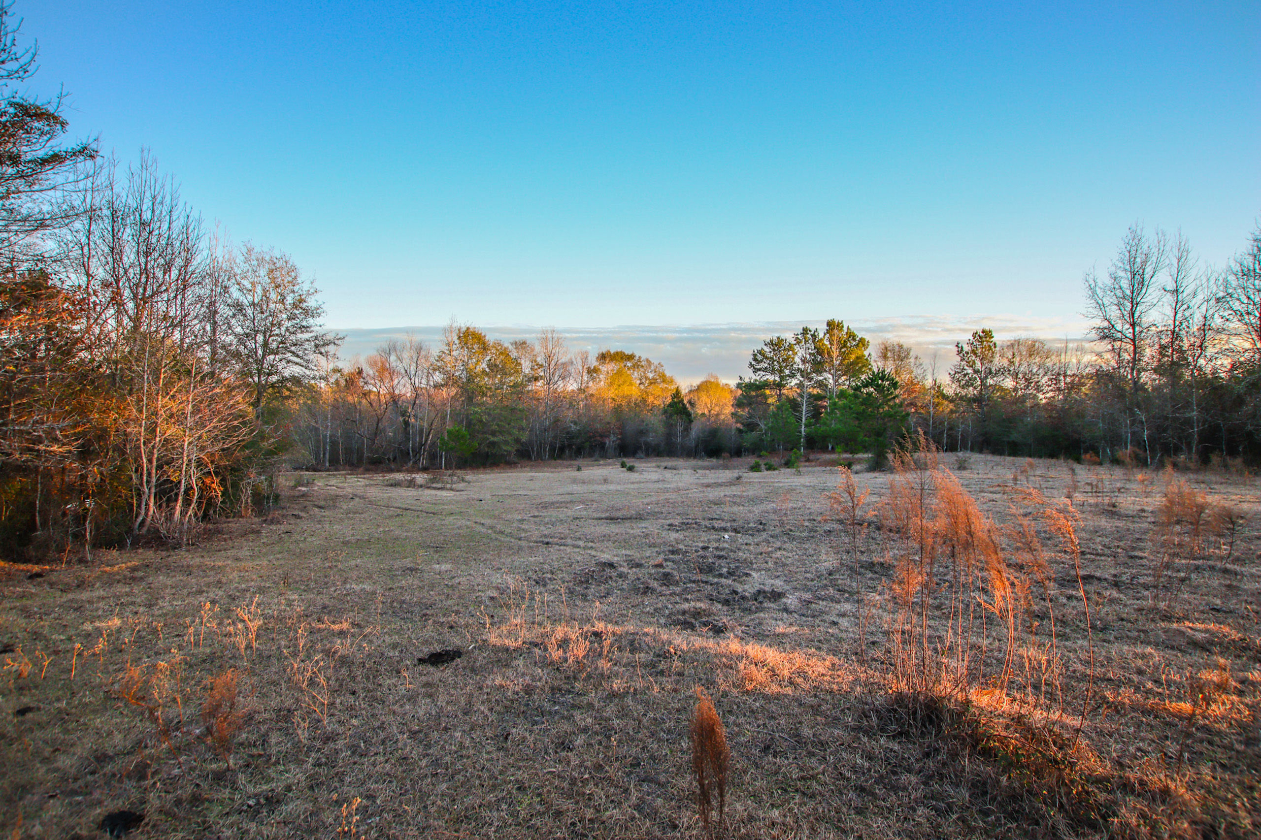
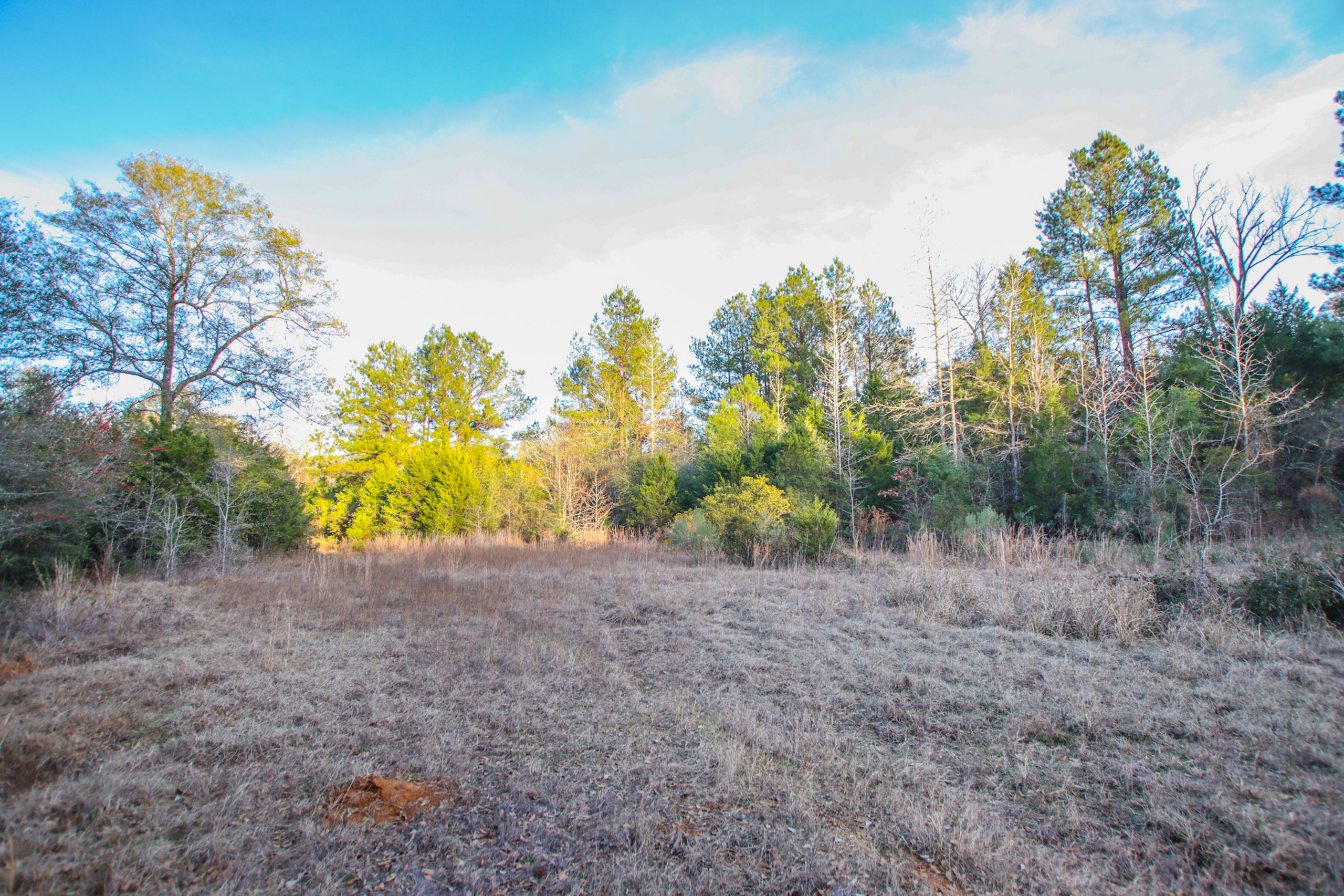
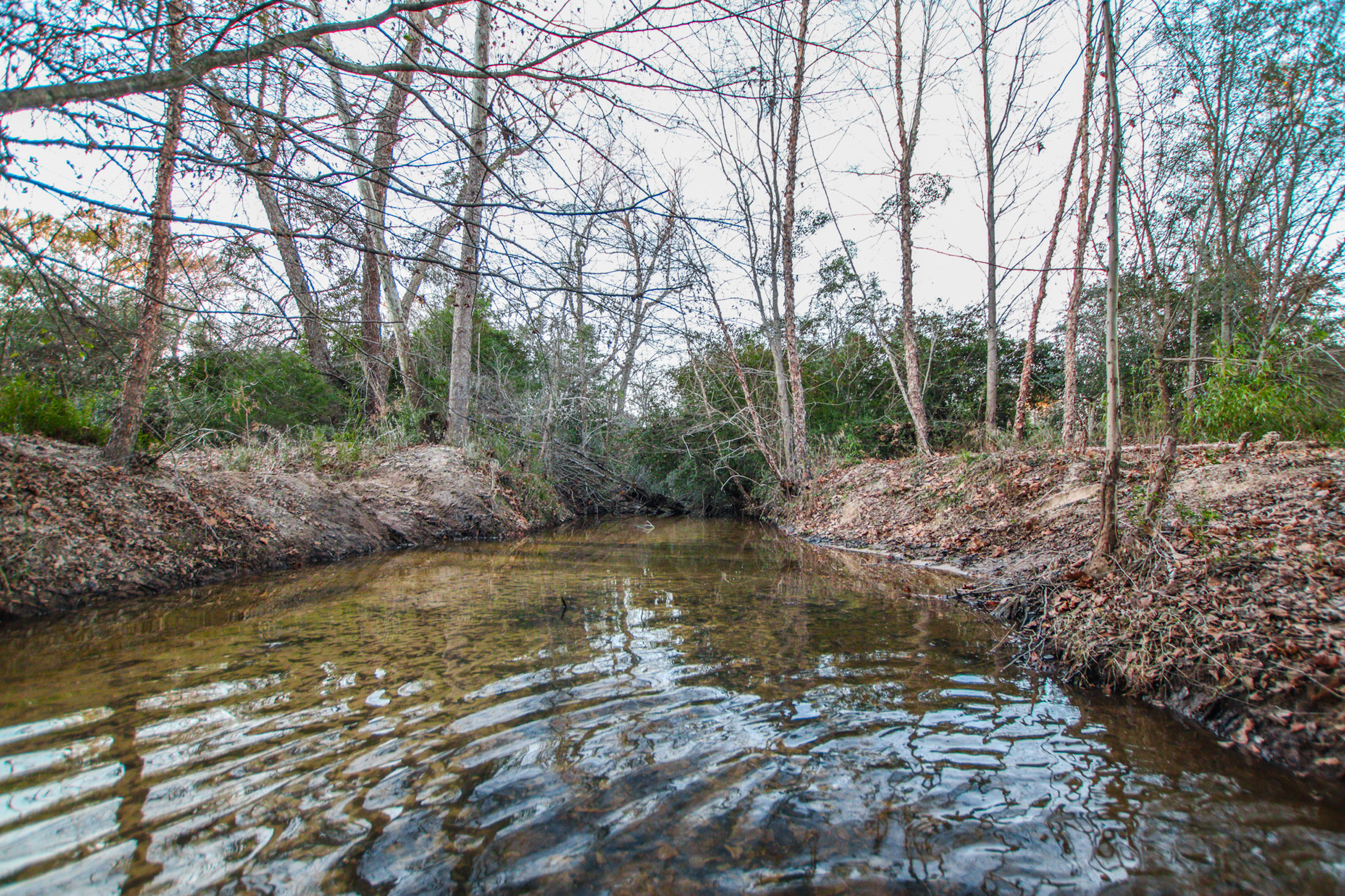
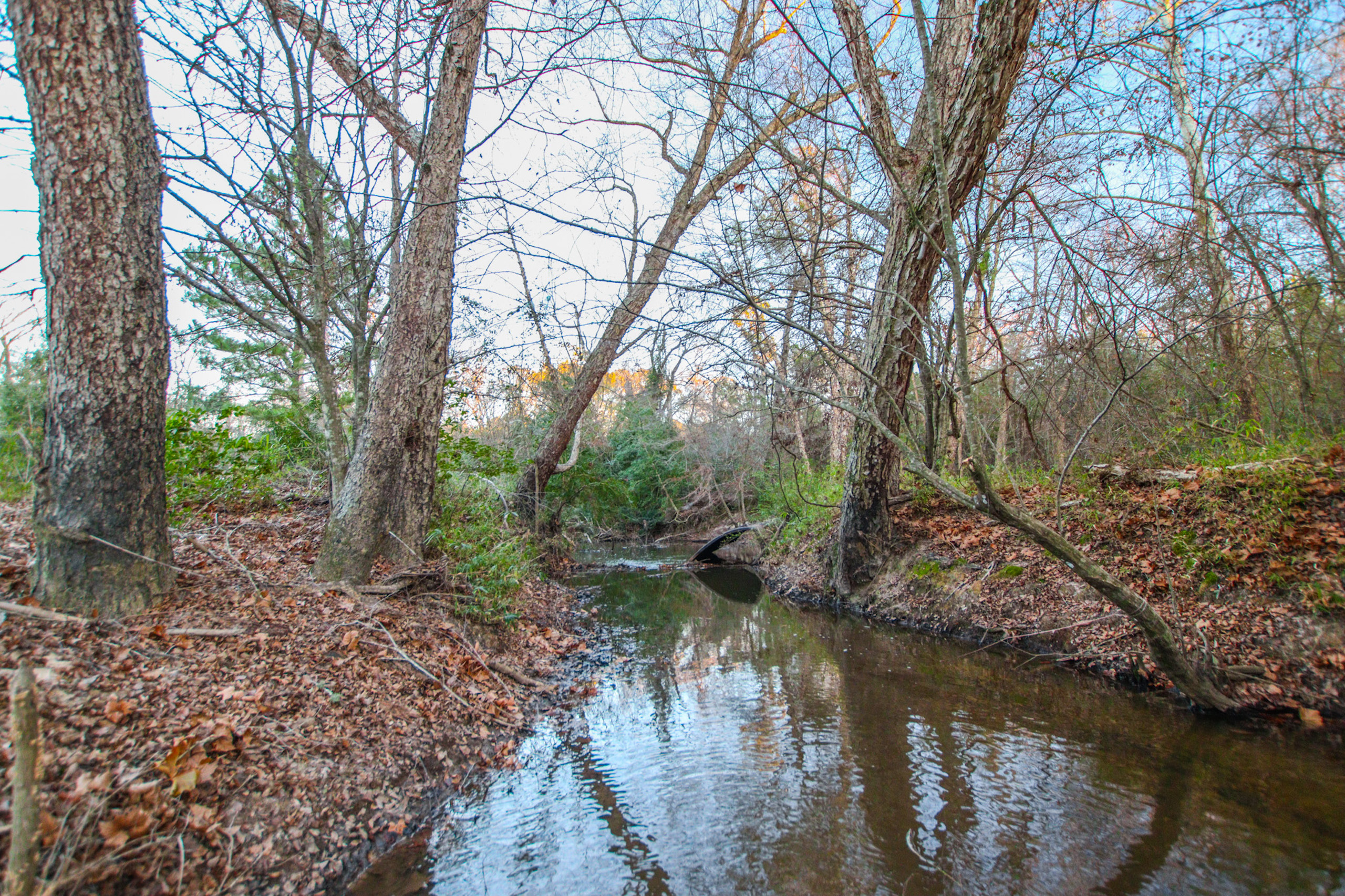
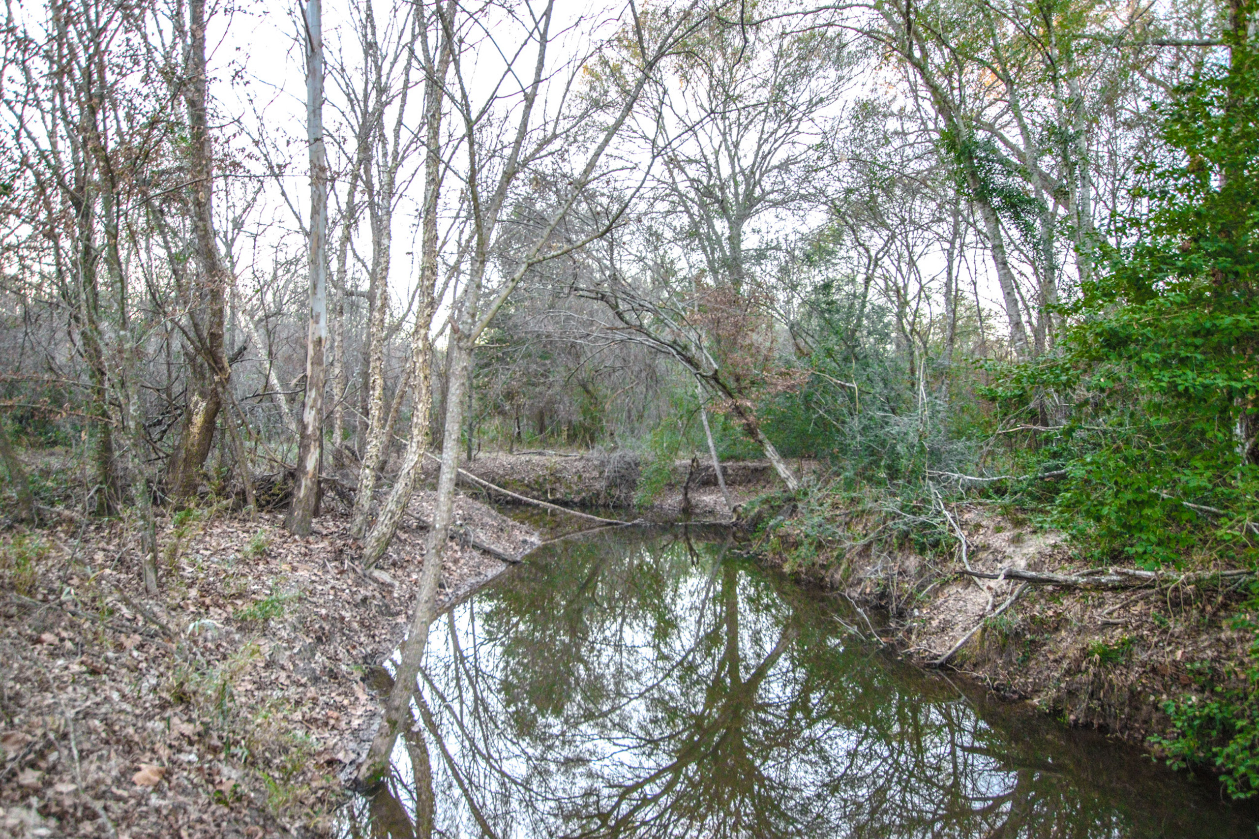
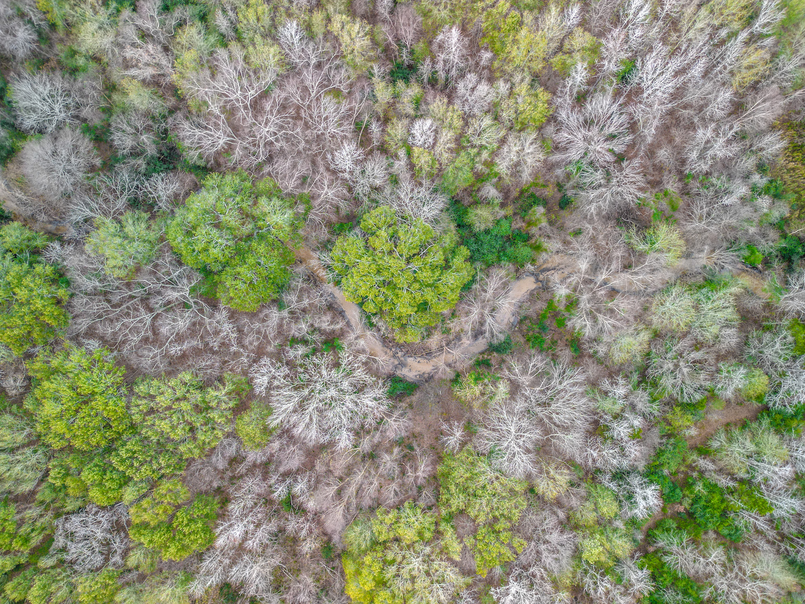
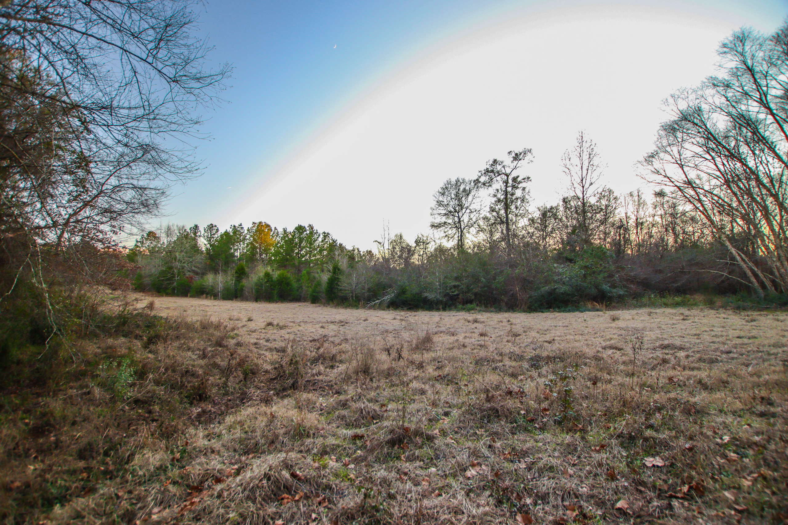
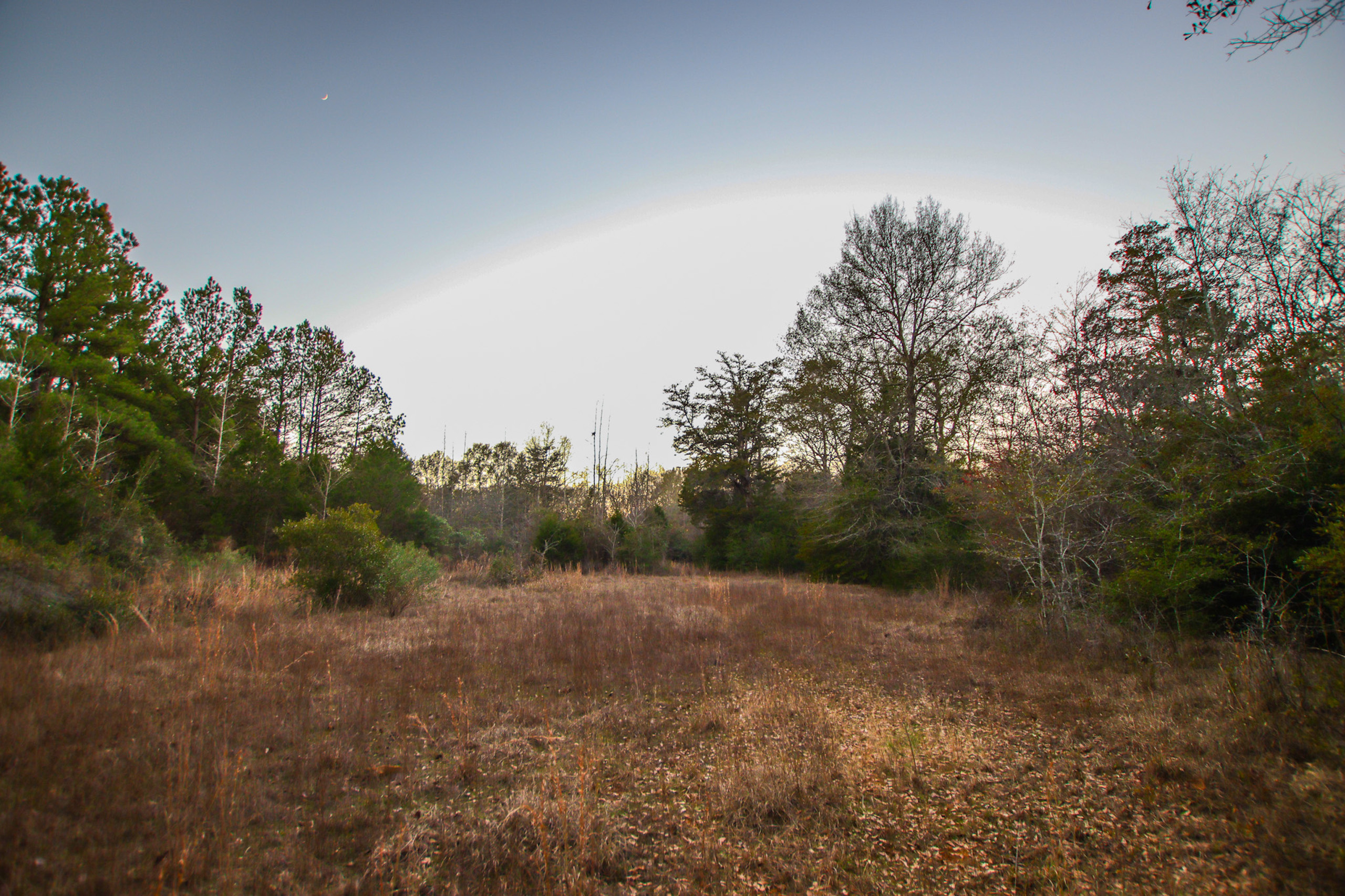
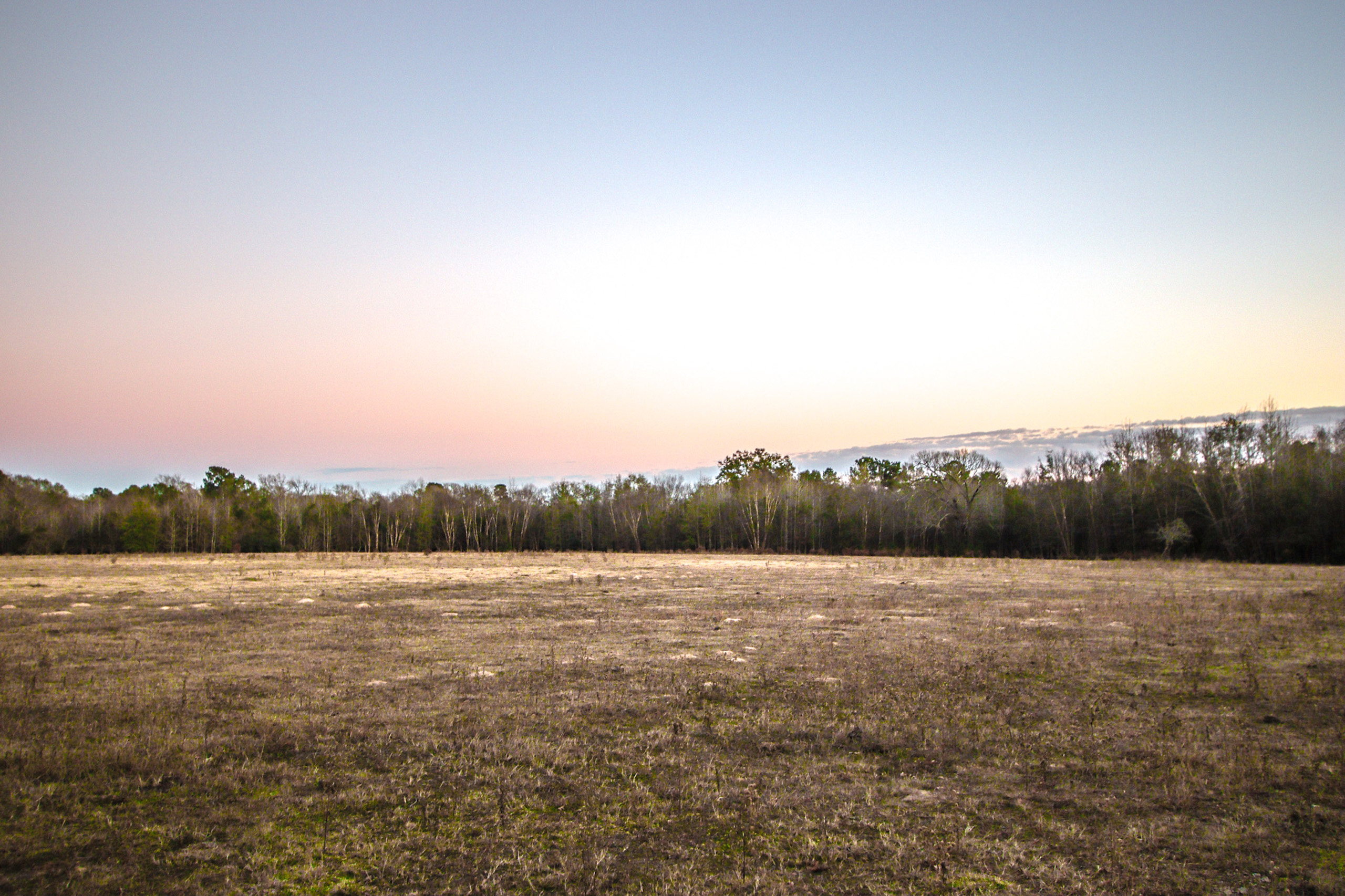
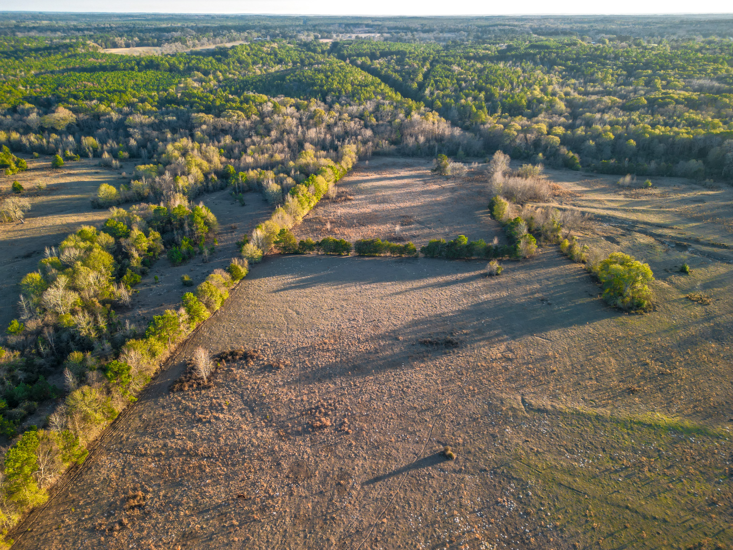
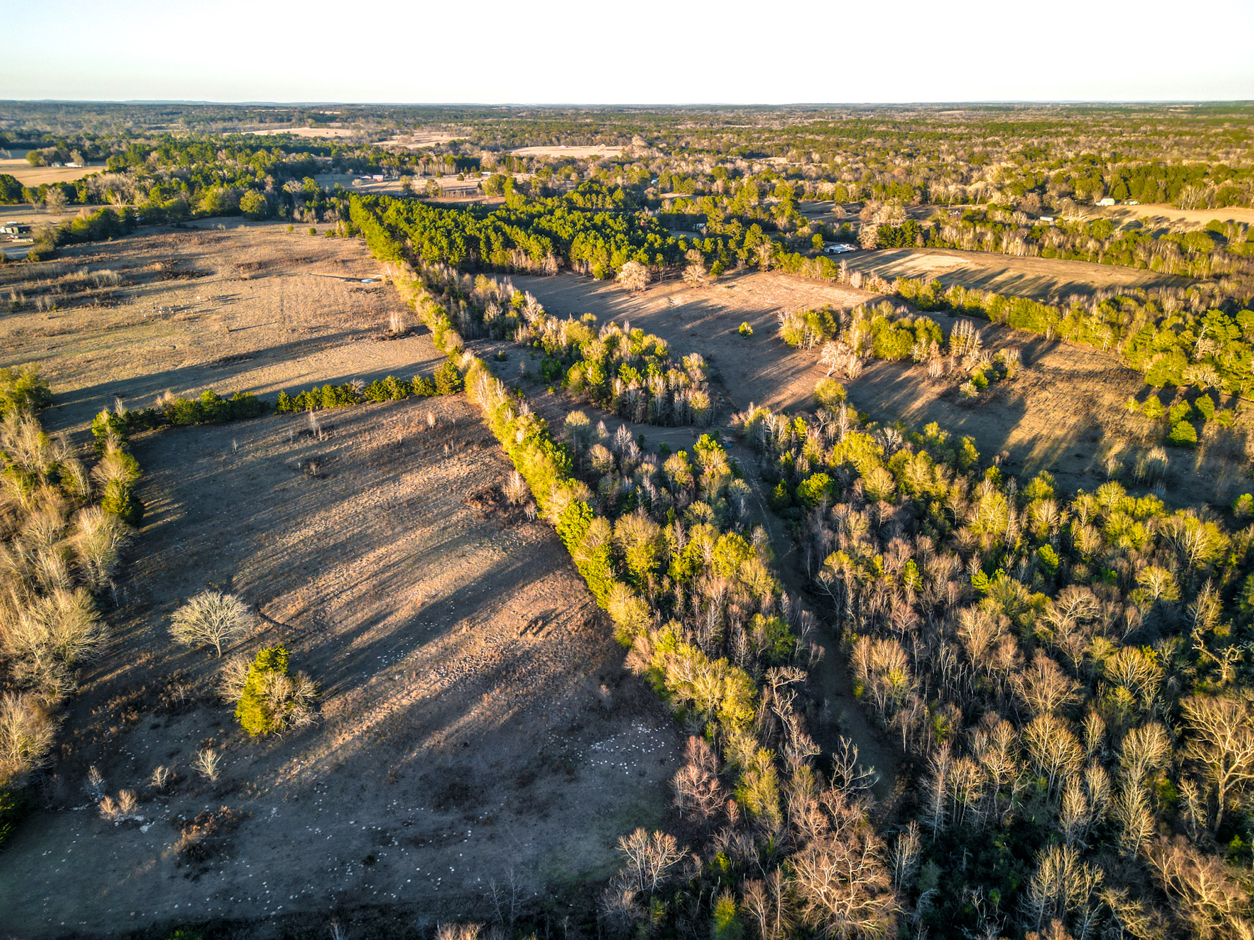
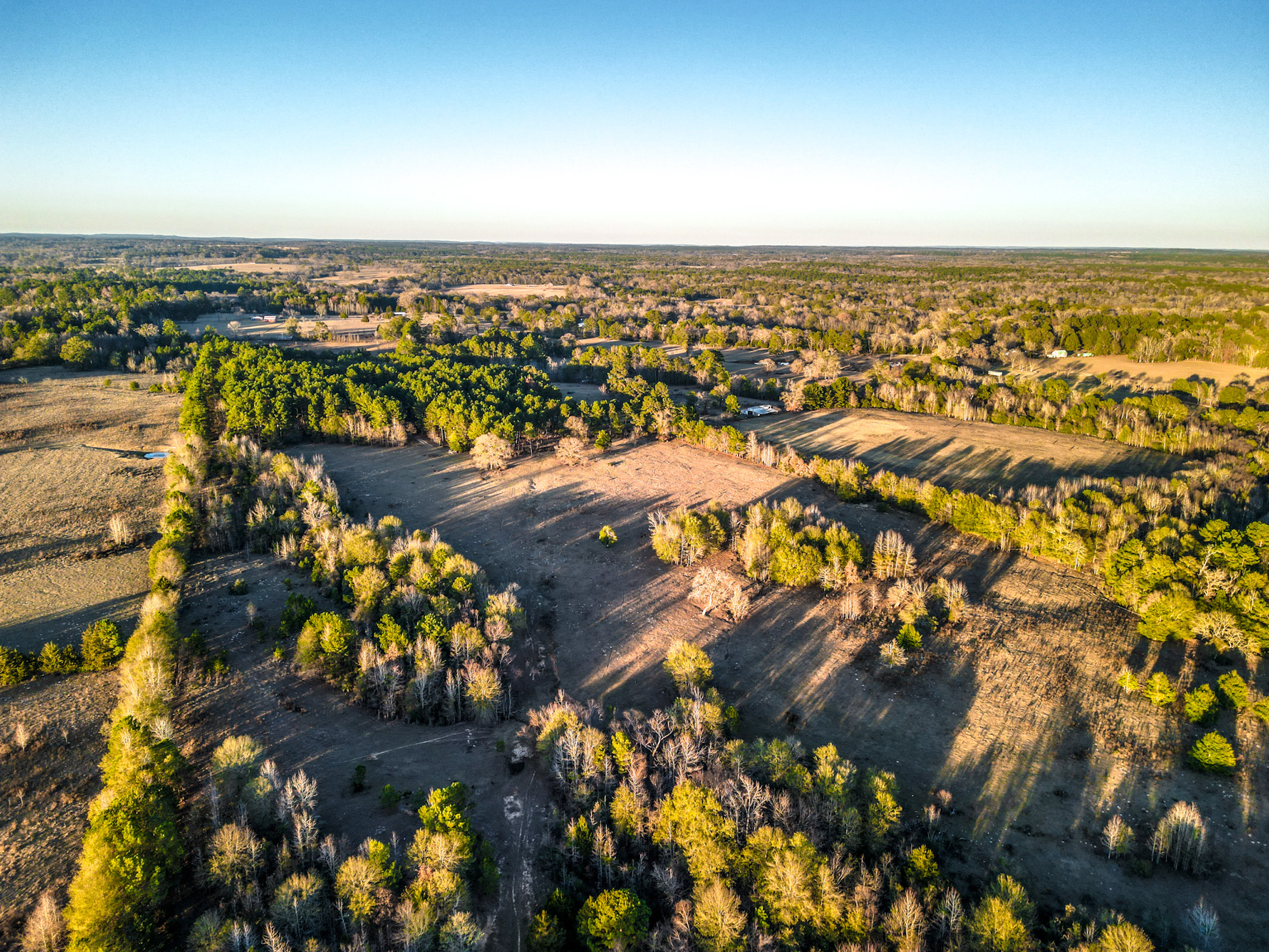
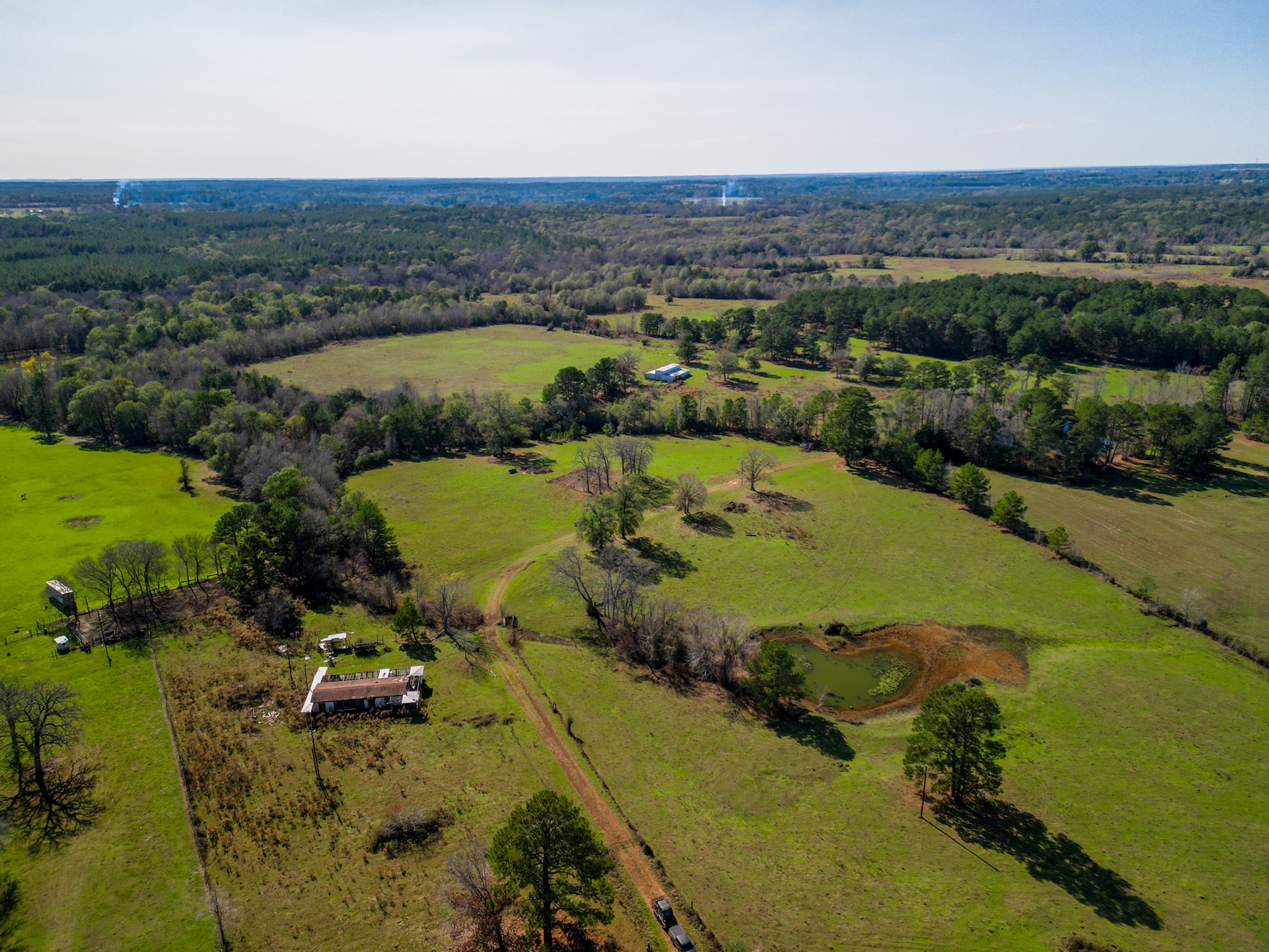
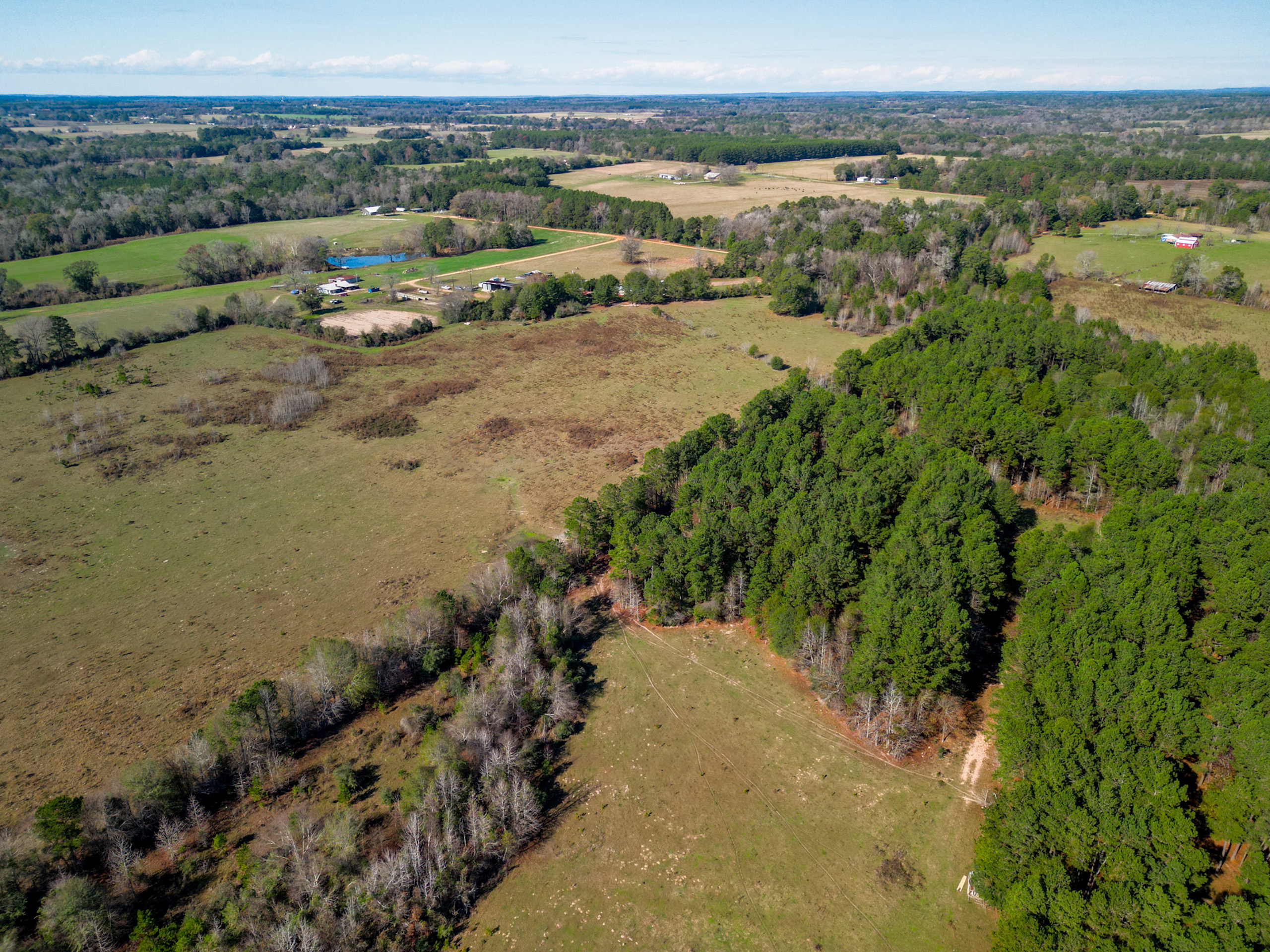
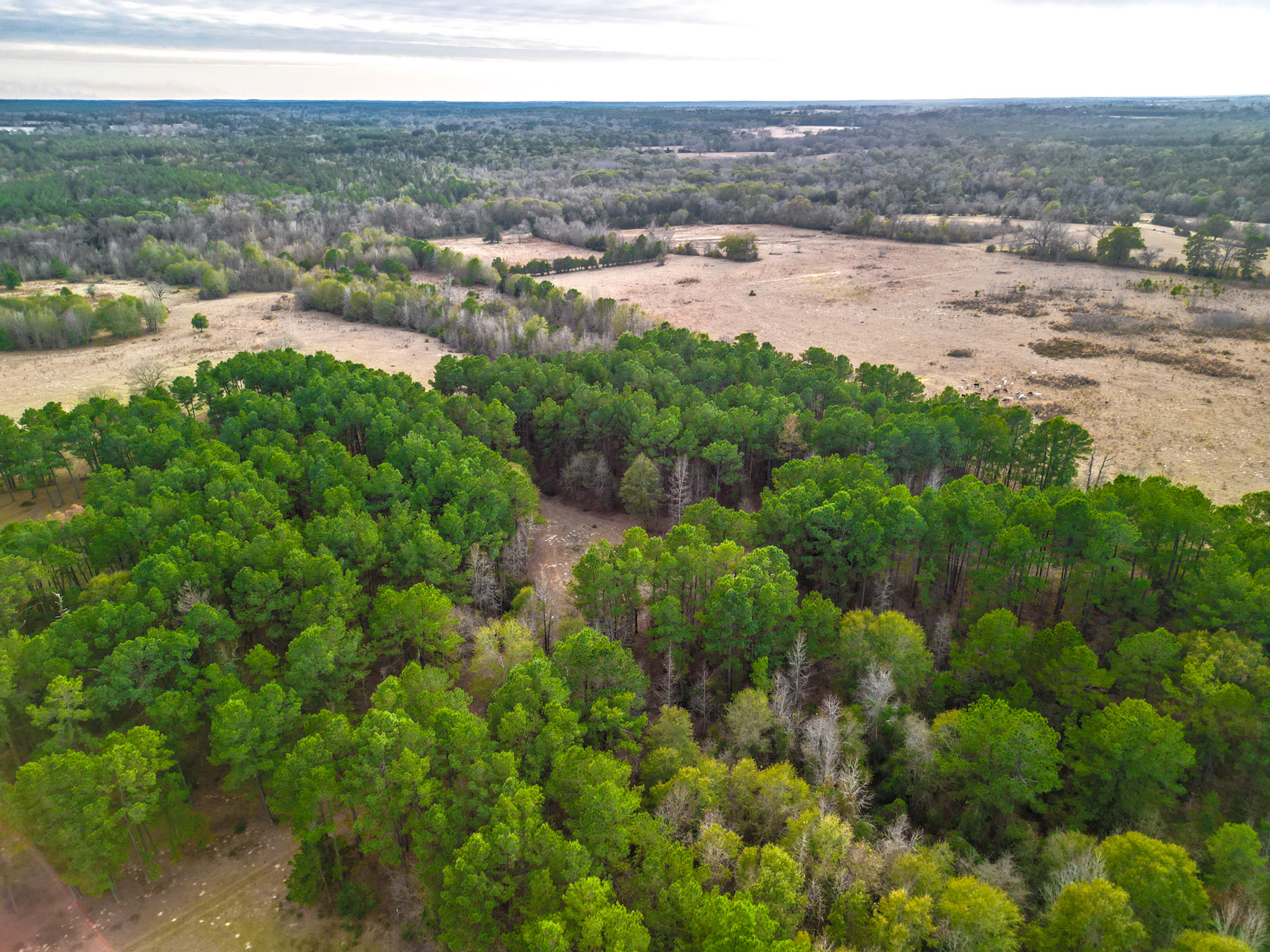
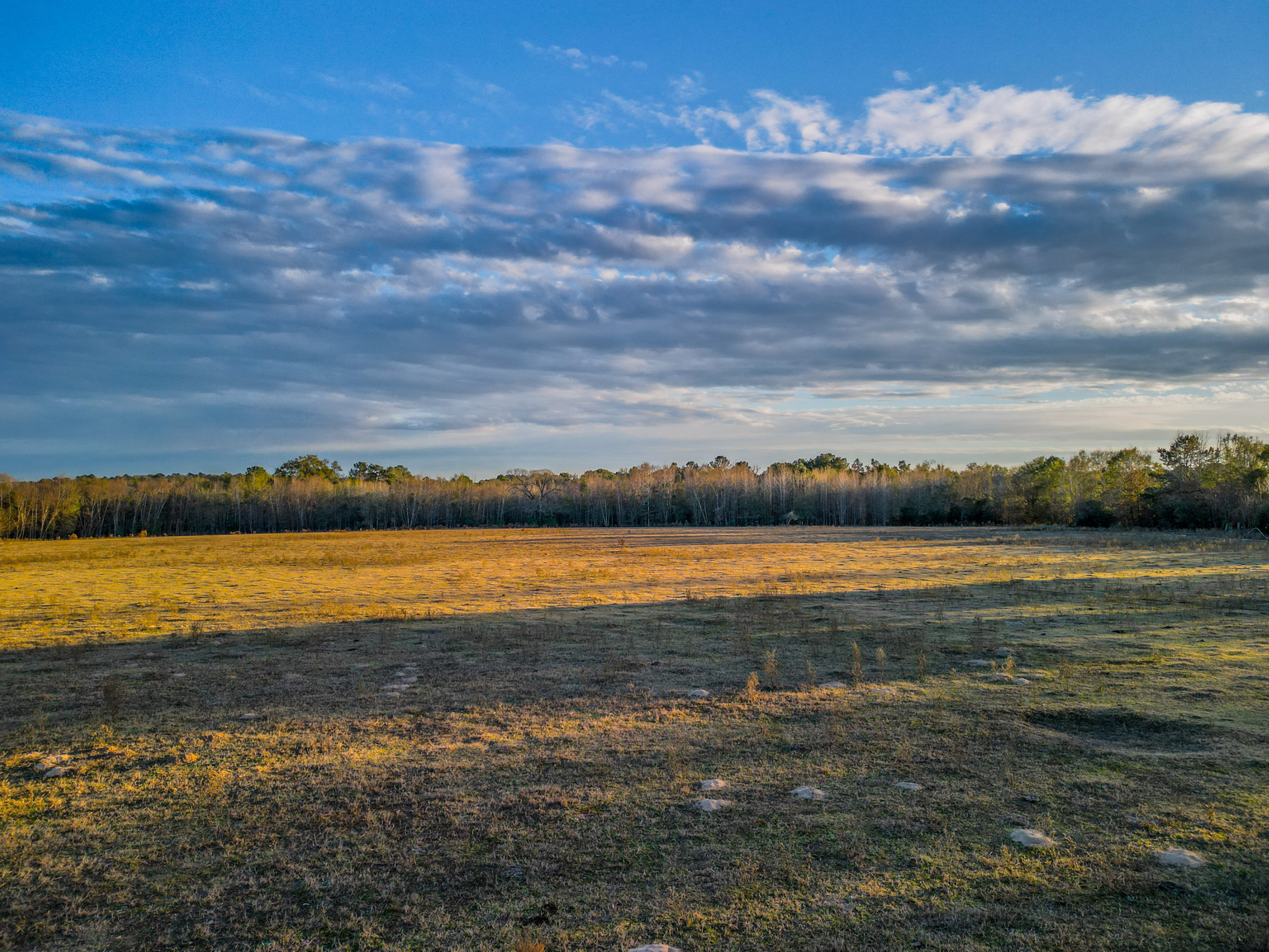
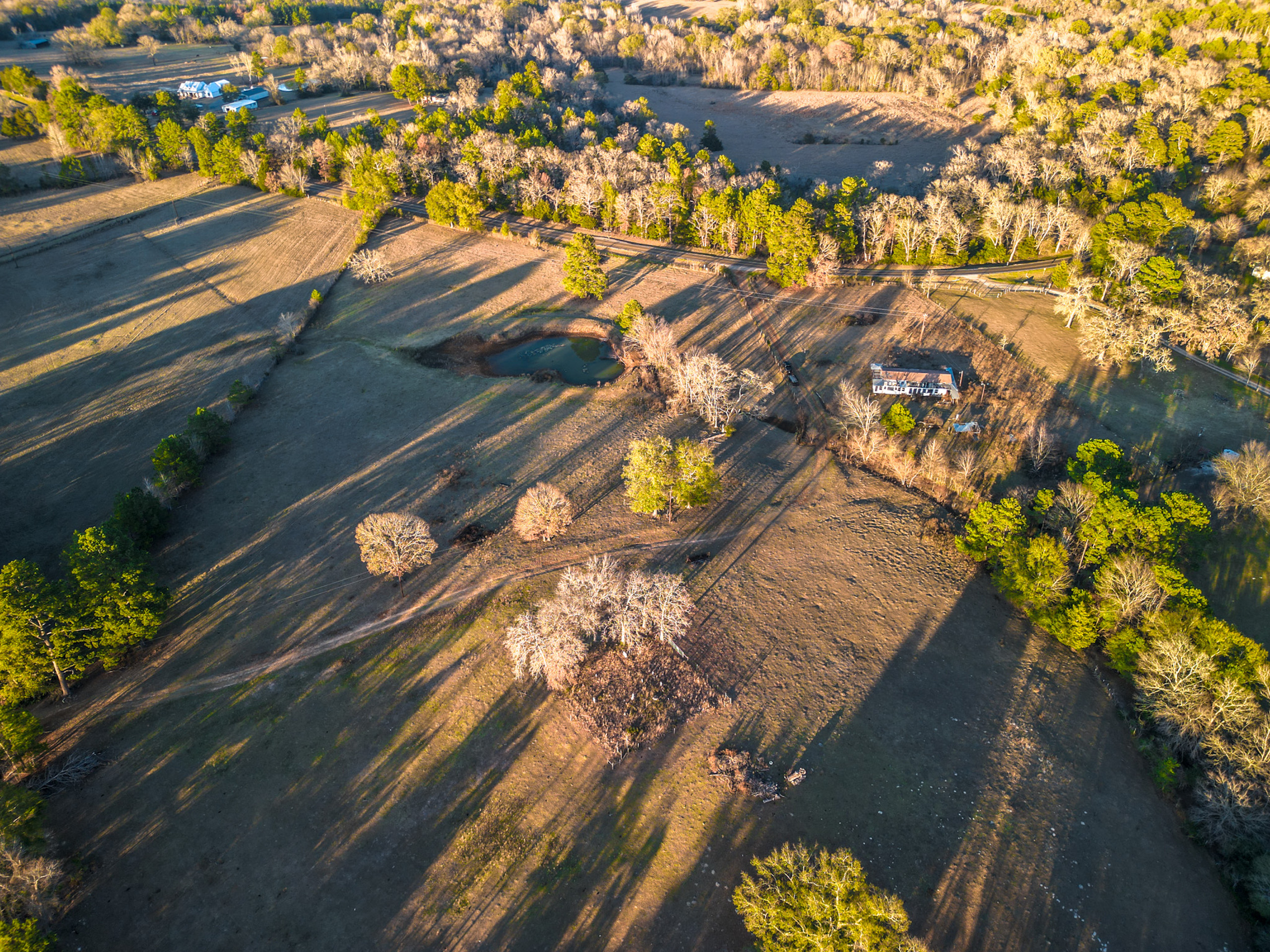
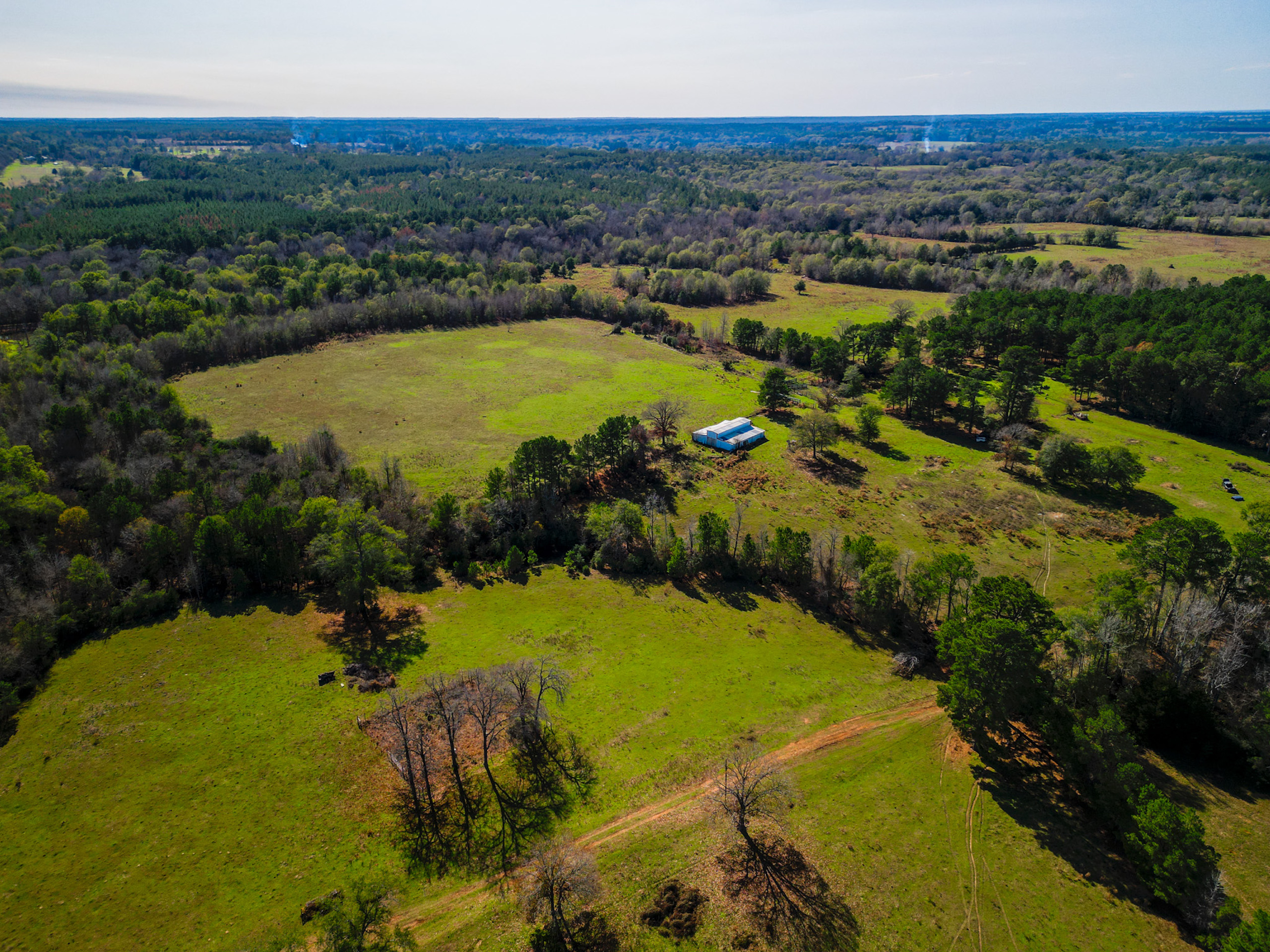
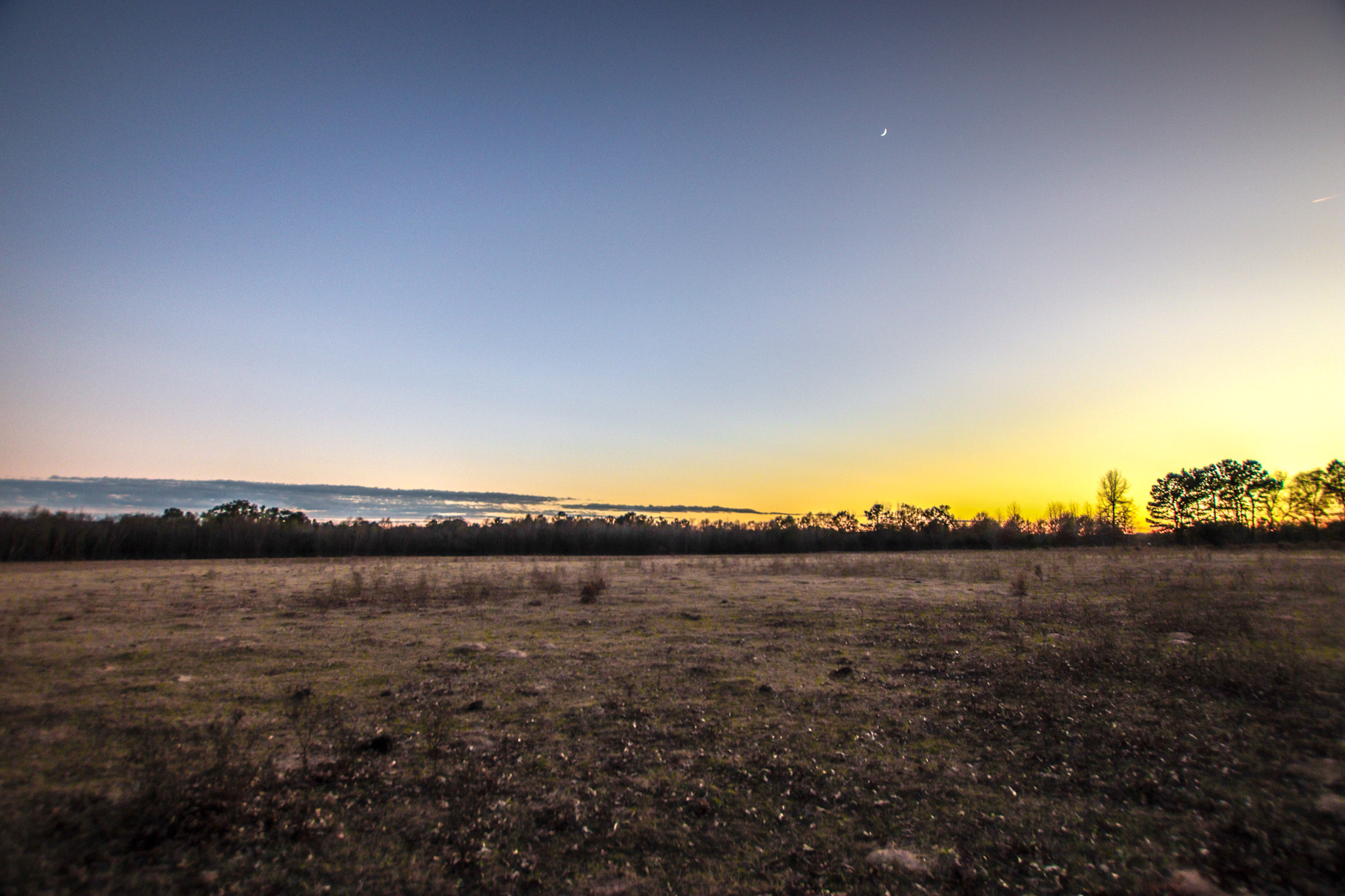
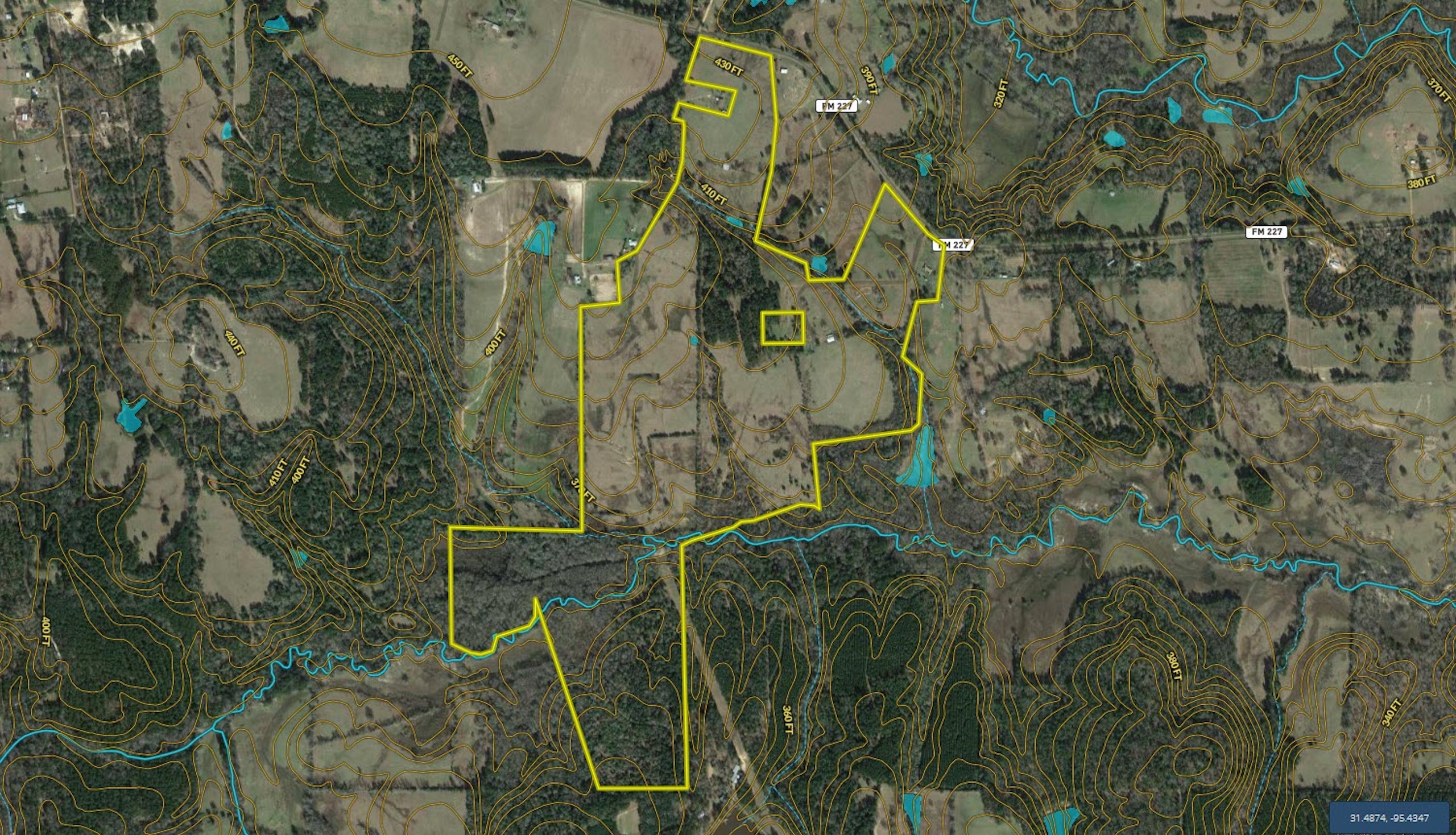
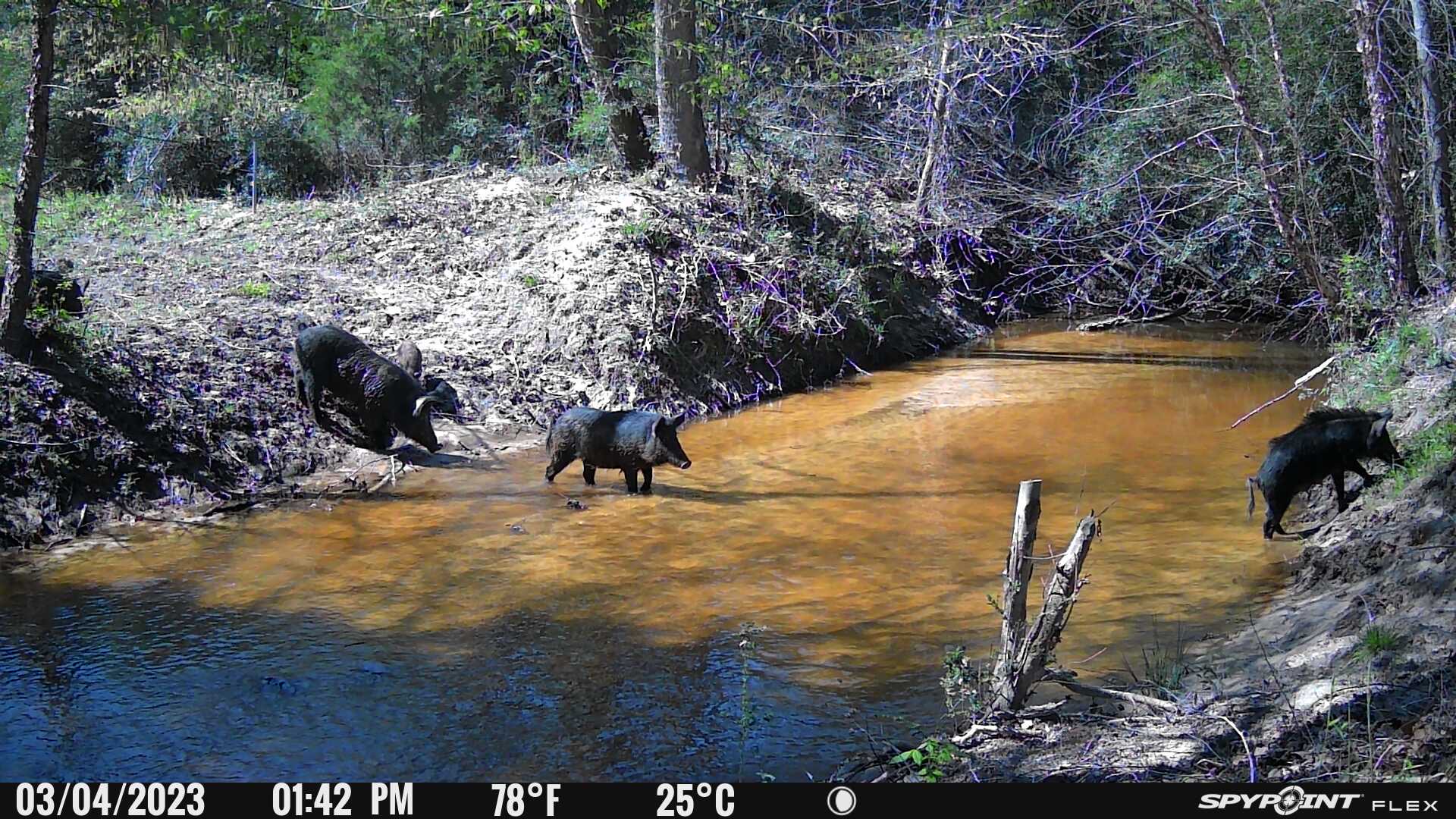
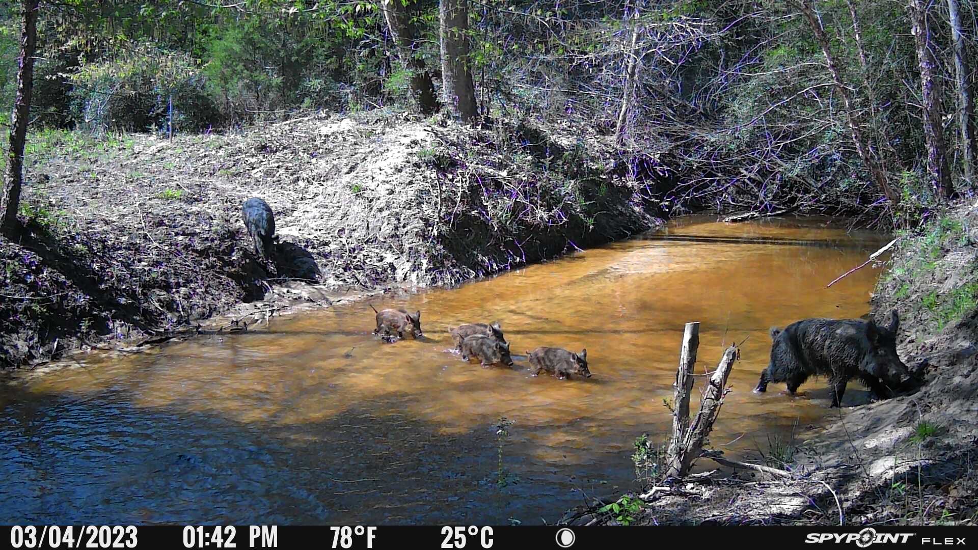
Summary: This tract is a relatively equal balance of pasture and timber with rolling topography and a live water creek. There is approximately 90 feet of elevation change on this property with the bulk of the higher elevation on the northern portion of the tract which has frontage along FM 227. The bulk of the northern portions of the tract are currently native pasture areas and the southern portion is primarily mixed timber. Bennett Creek meanders through the central portion of the property and offers a mixture of wide, sandy-bottom creek areas as well as two marsh areas that could be developed for waterfowl purposes. The tract has very good potential for mixed-use purposes including cattle grazing, hay production and recreational uses.
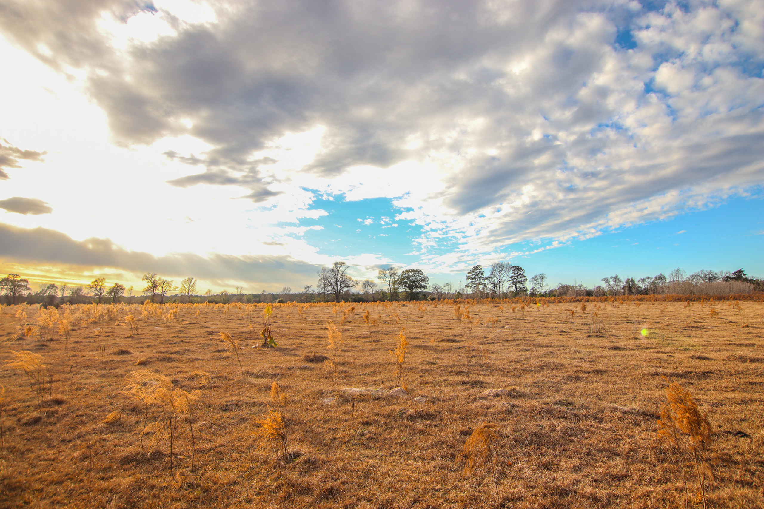
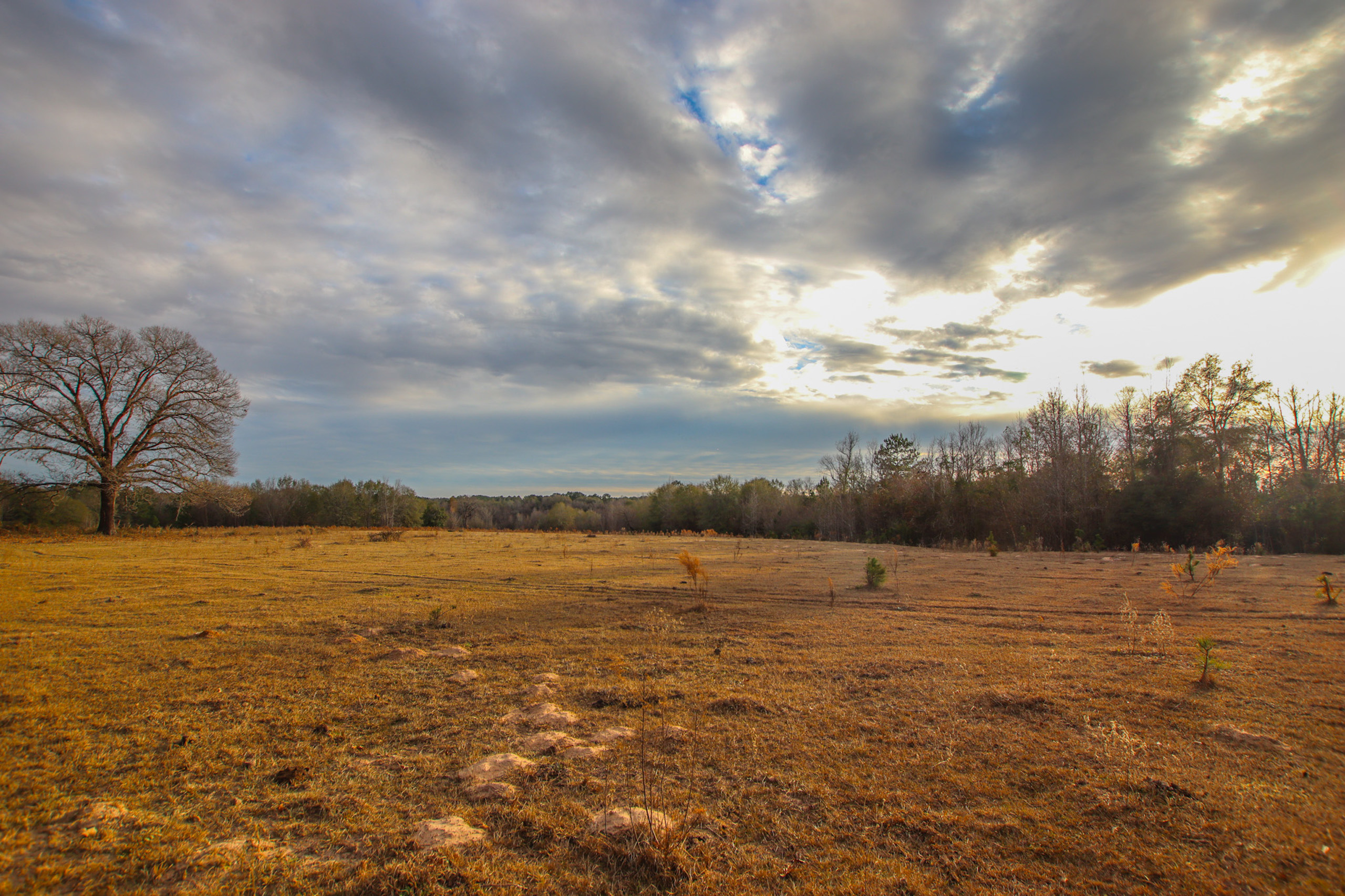
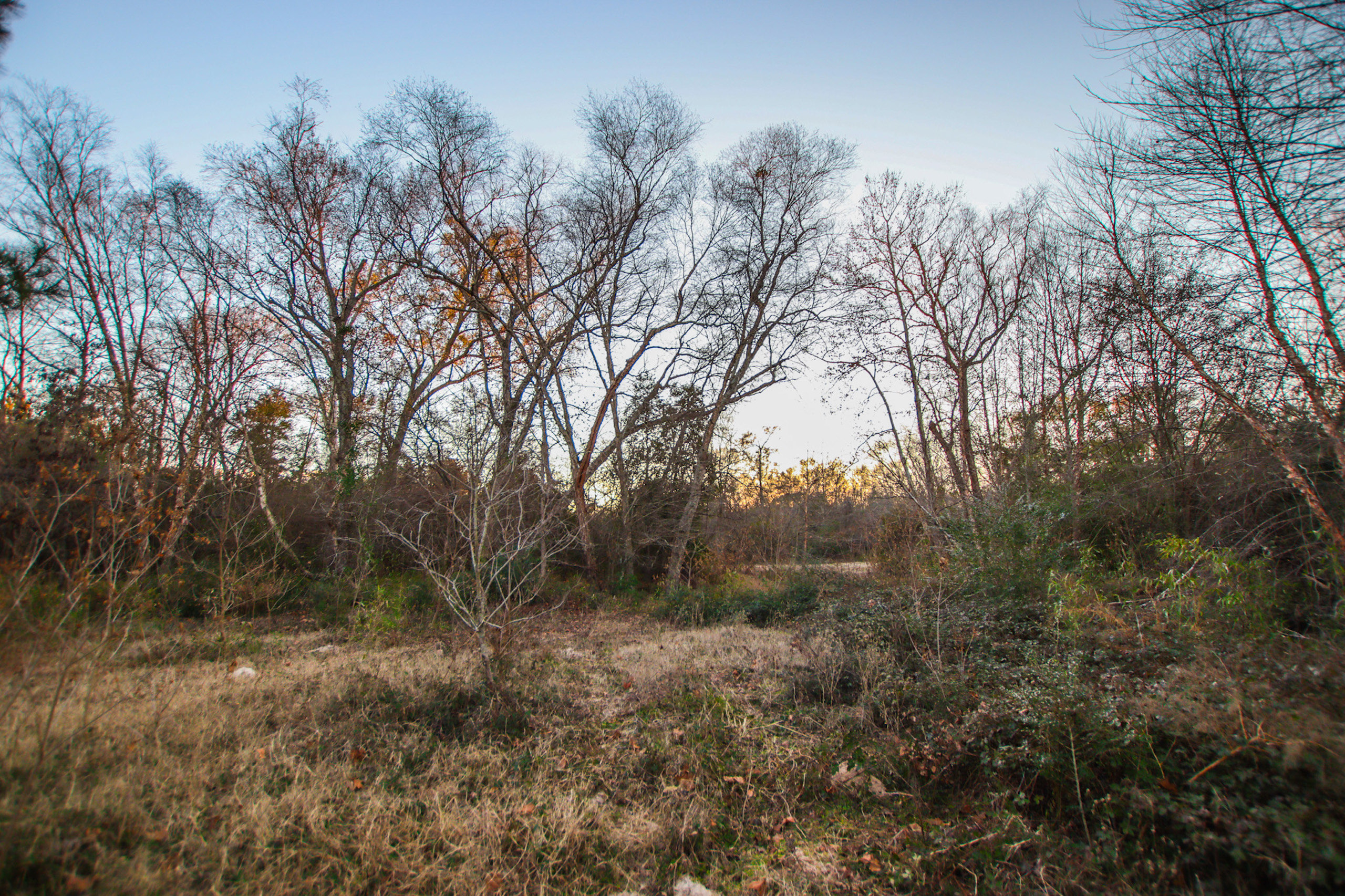
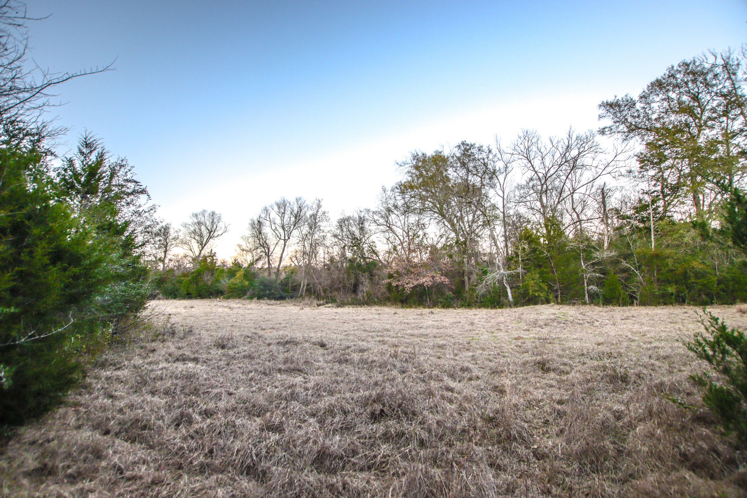
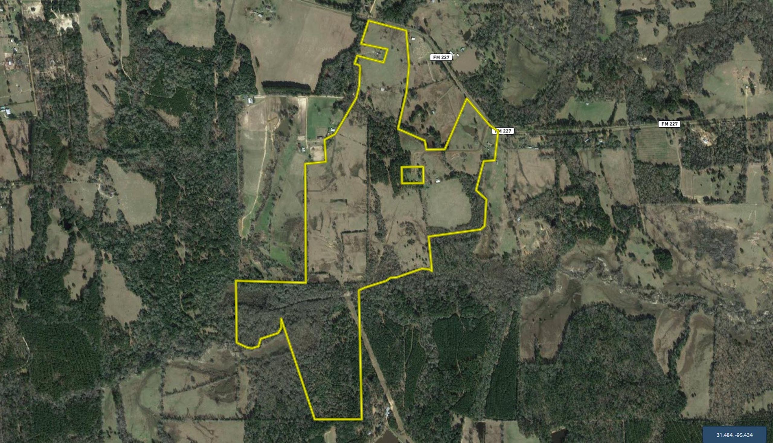
Land Characteristics: The property is slightly irregular in shape with two points of frontage along FM 227 which are separated by two out-parcels. The configuration of the frontage offers the possibility of sub-division, particularly in the NW corner which also has additional frontage along CR 1865. A new owner would have the option to split off multiple small acreage parcels with FM and CR frontage to cheapen up the remainder of their investment while maintaining the integrity of the remainder of the tract. We estimate that the tract is approximately 45% pasture with the remainder being either mixed native or Pine timber. The bulk of the southern portion of the tract is mixed native timber which offers premium hunting possibilities.
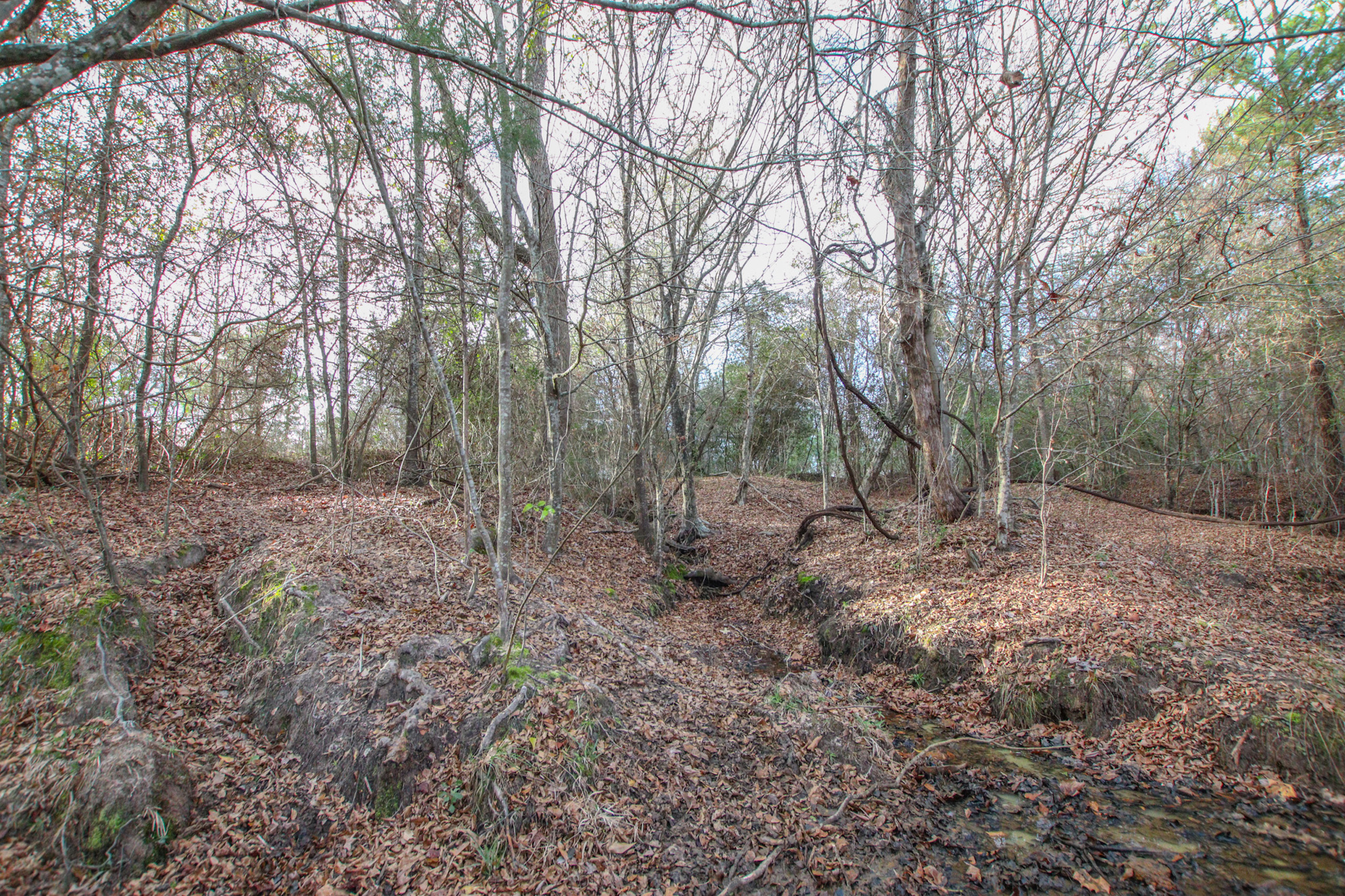
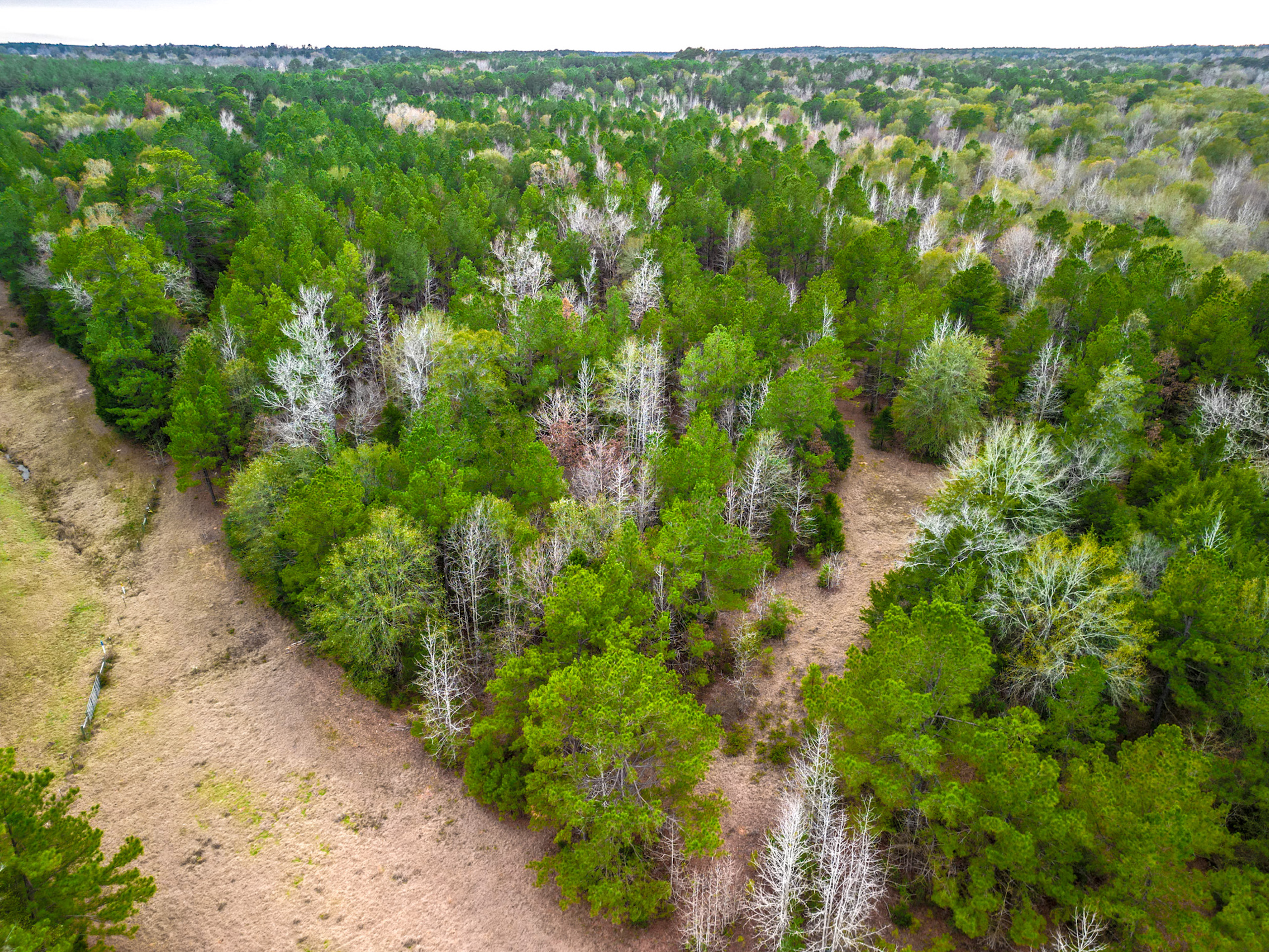
Terrain: The tract has elevation that ranges from an approximate low of 340’ ASL to an approximate high of 430’ ASL. The soil report indicates that approximately 35.71 acres of this property are located within an area that is frequently flooded; this area is categorized as Nahatche Loam. This area is associated with Bennett Creek and another smaller creek that drains into the larger creek. The remainder of the tract appears to be a variety of sandy loam soils which would be productive for pasture or timber purposes.
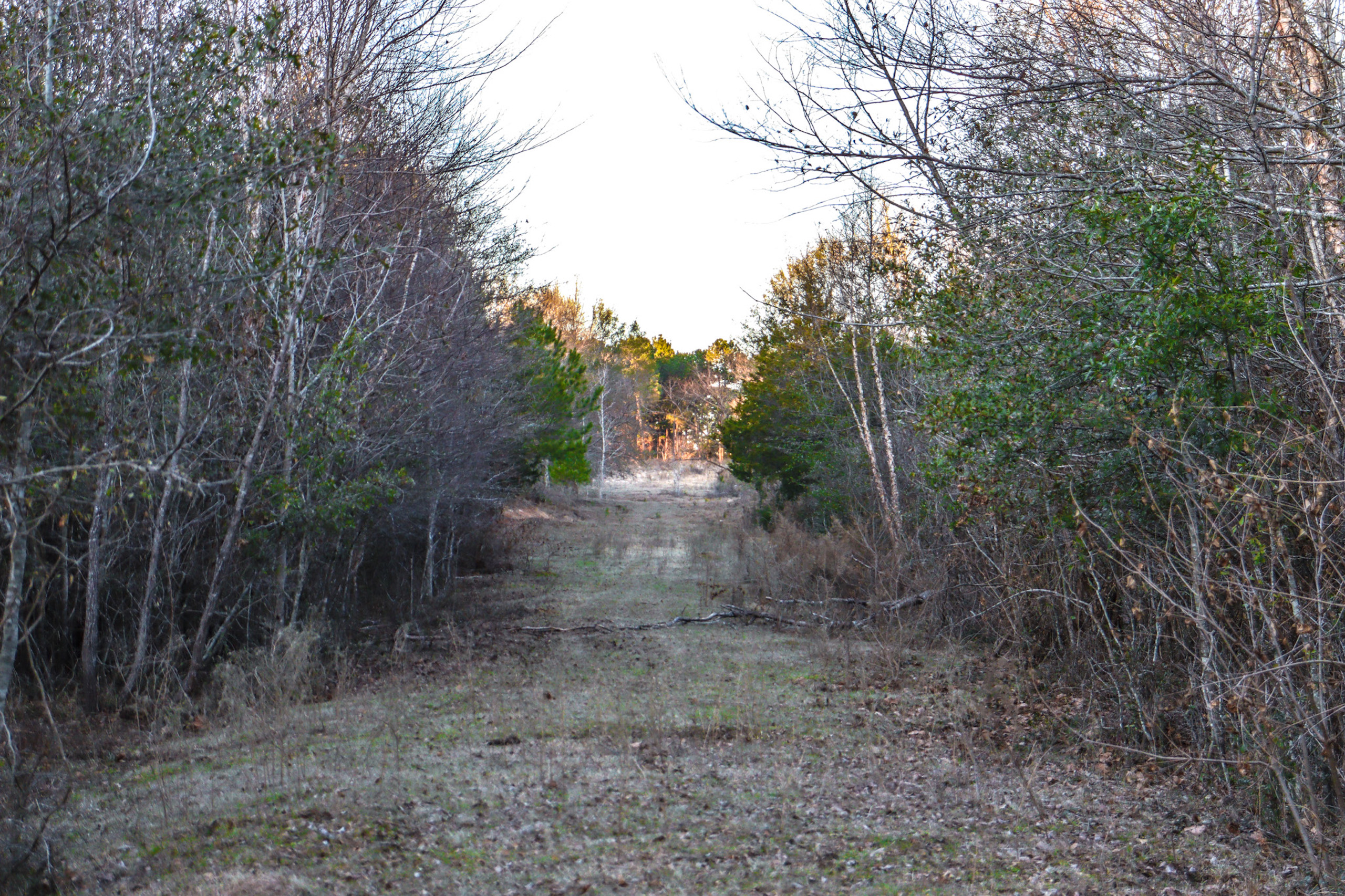
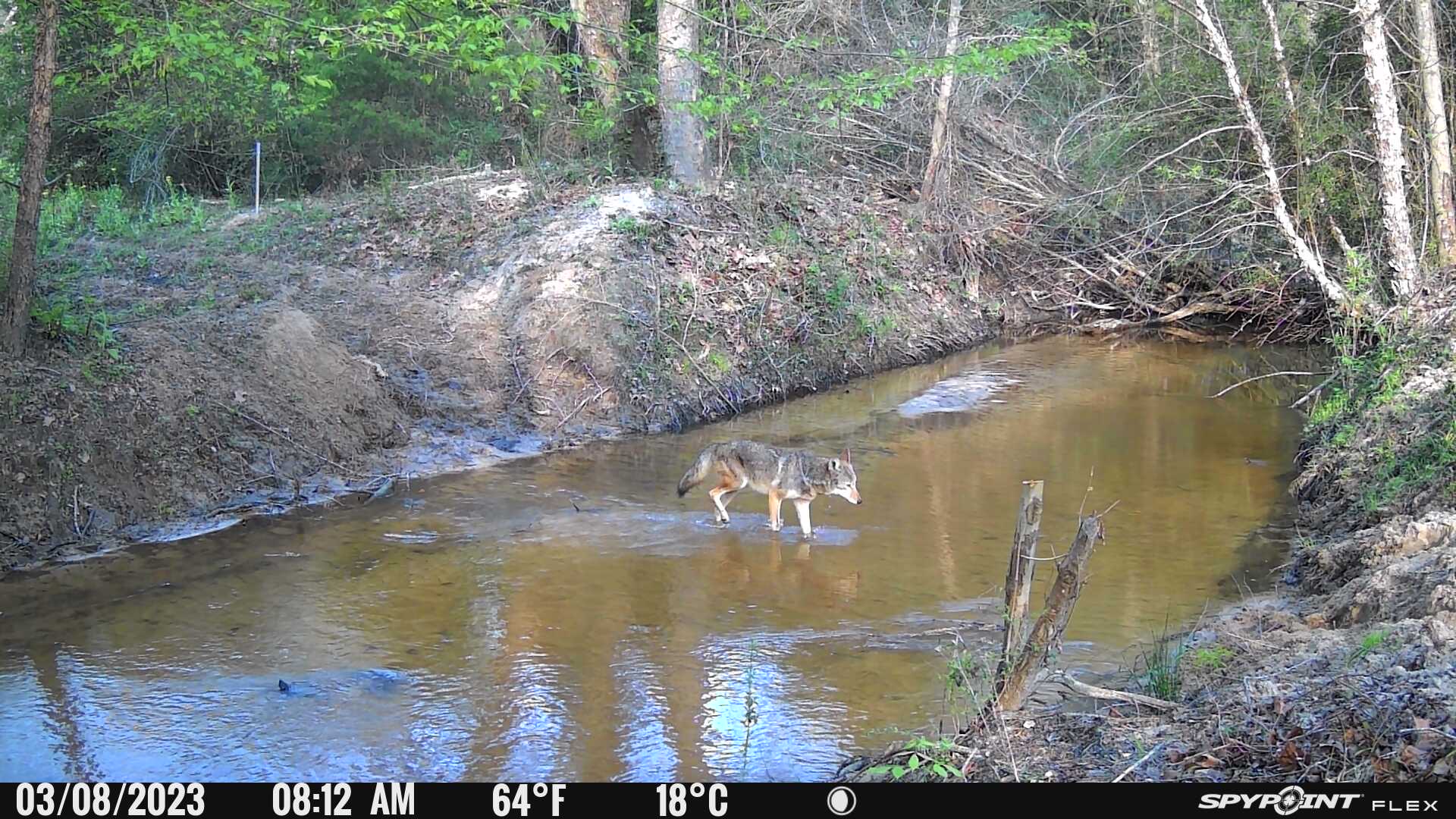
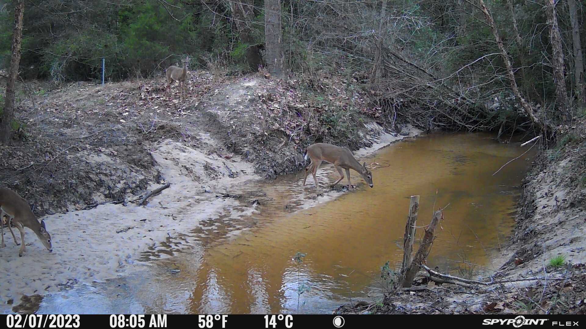
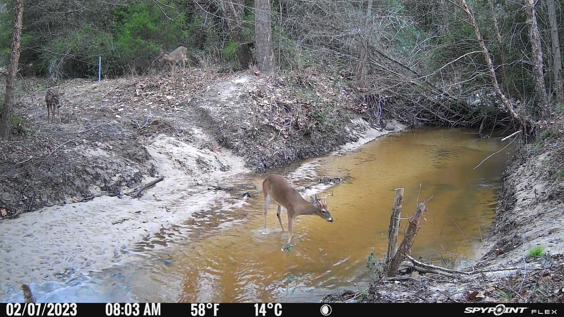
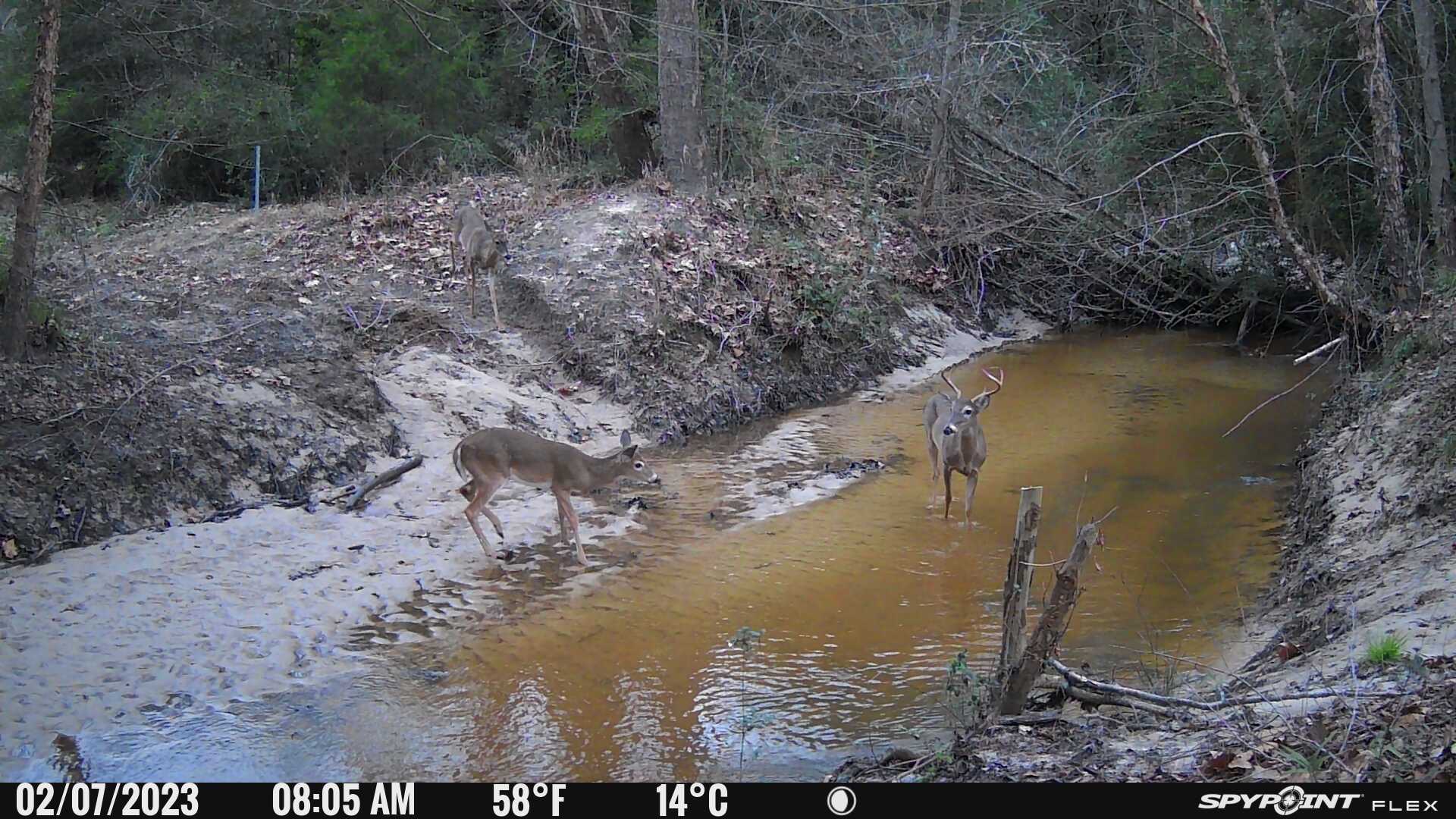
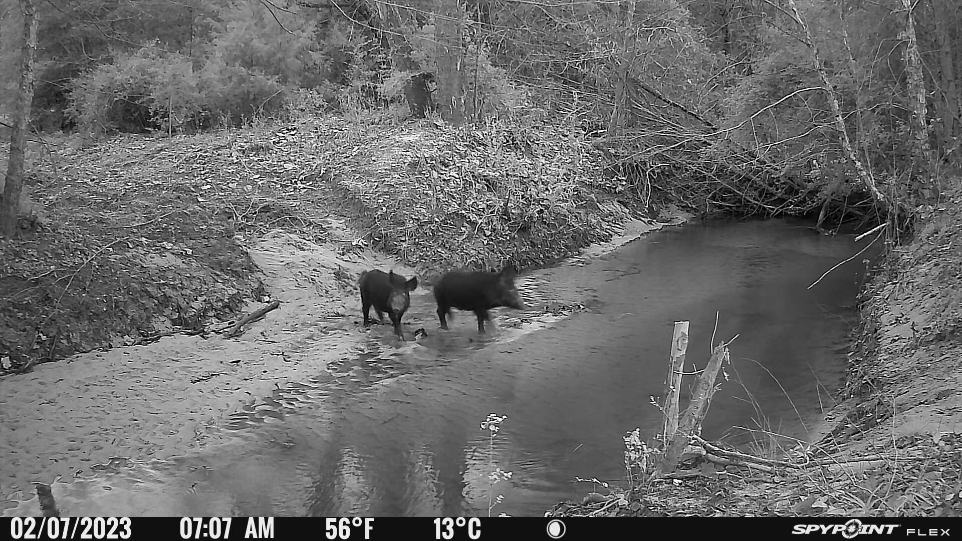
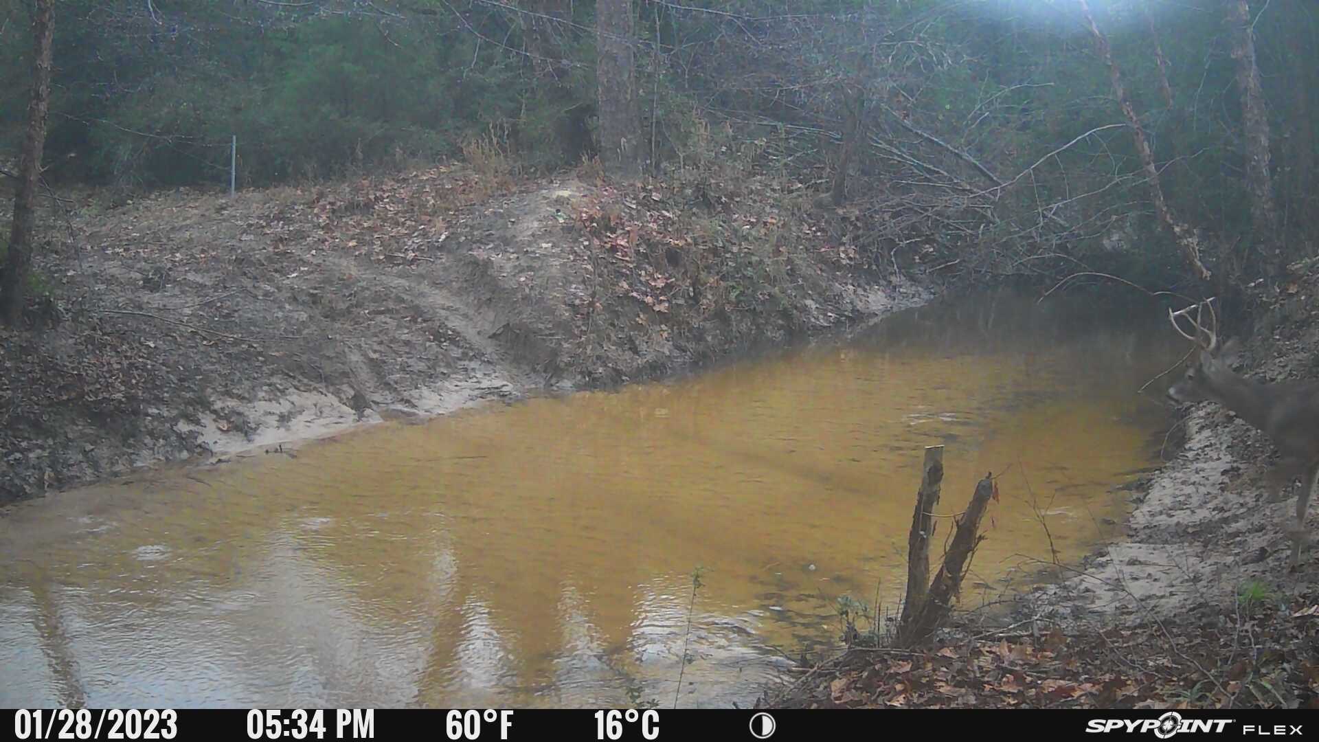
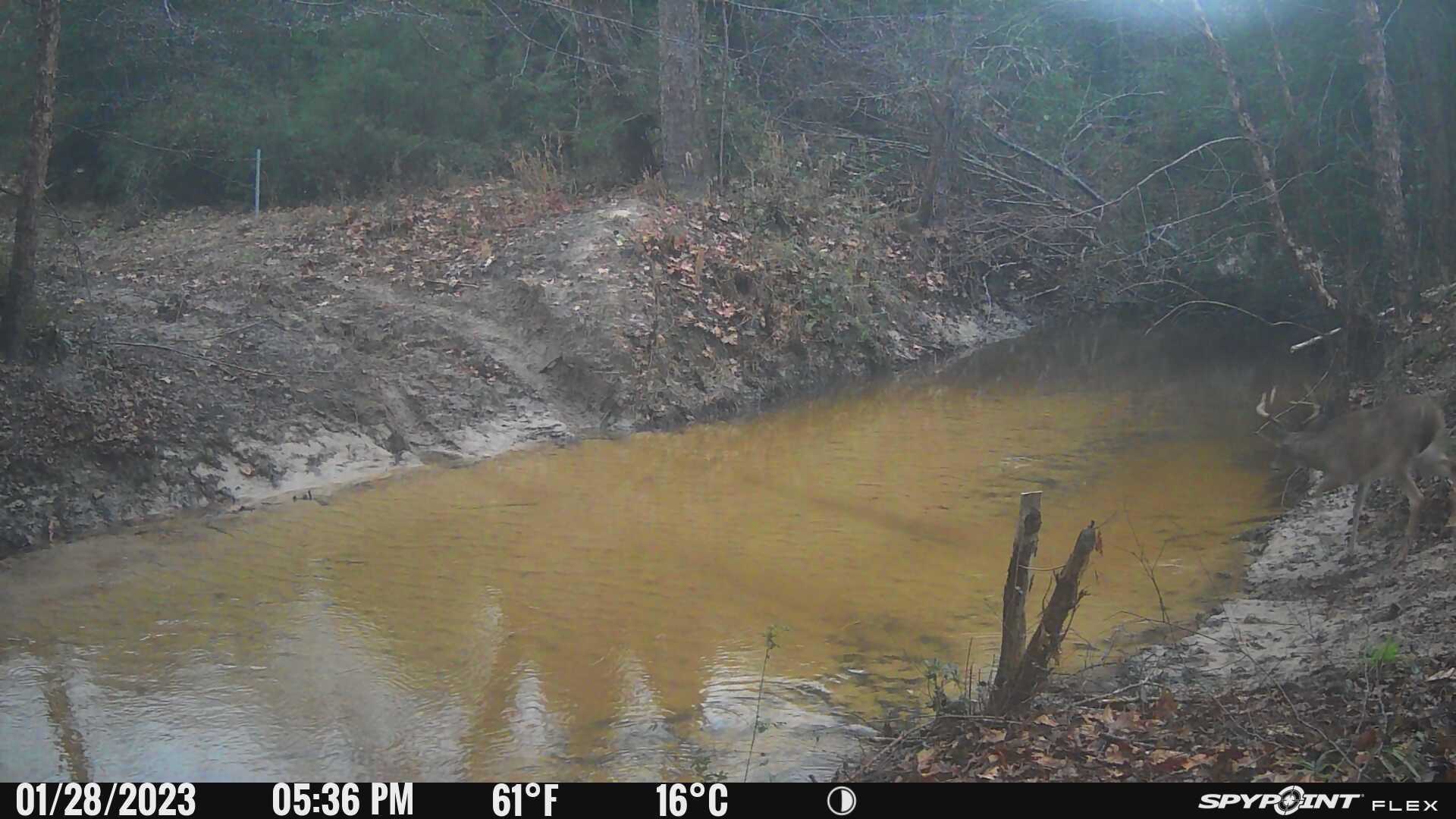
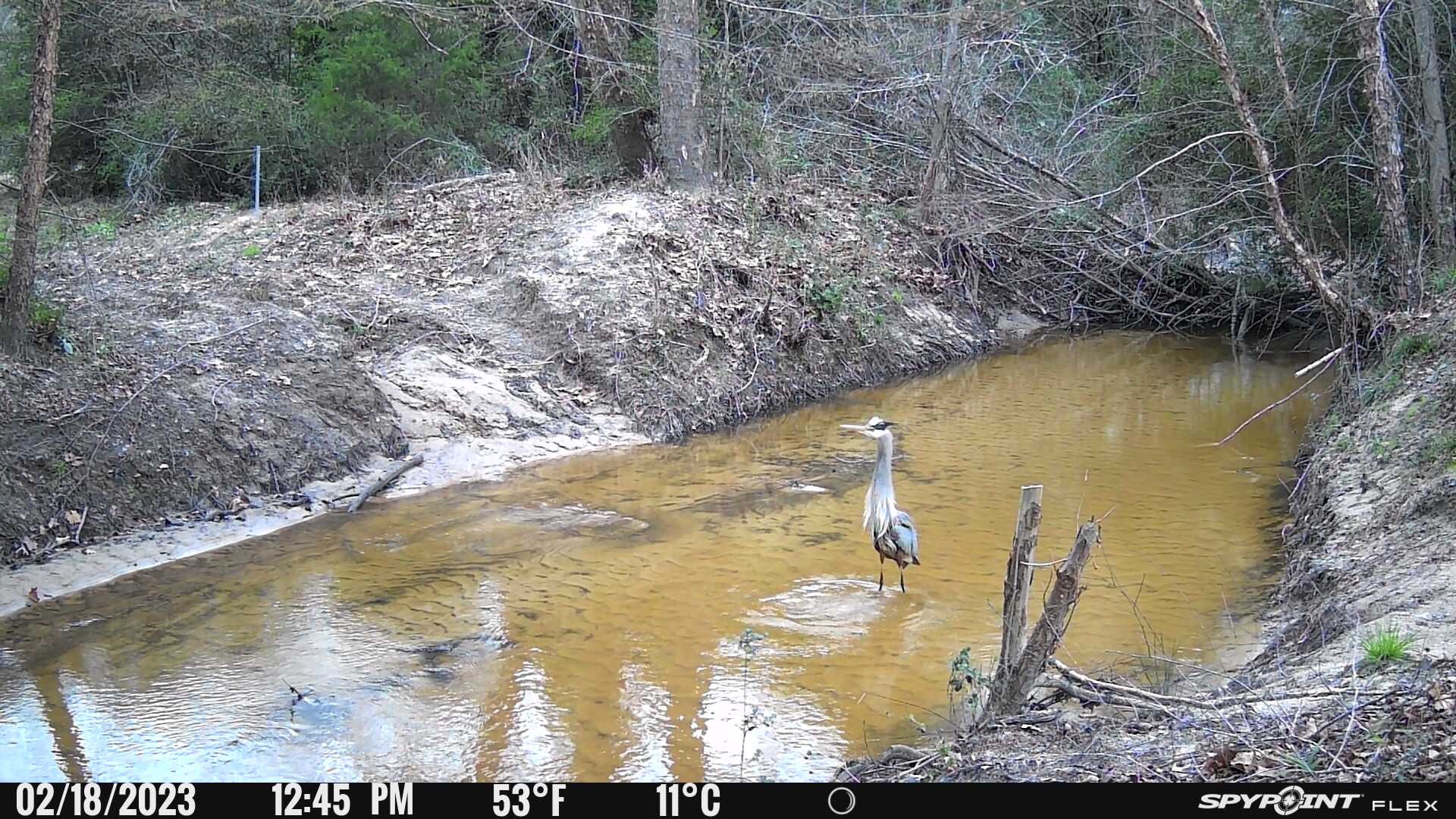
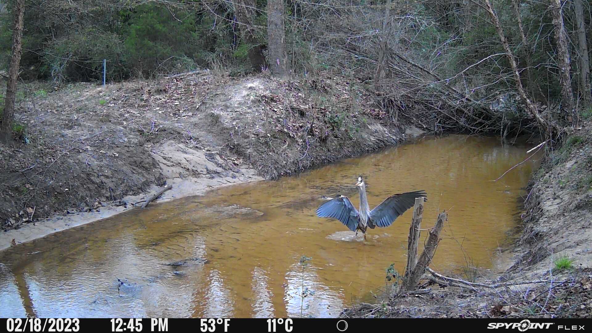
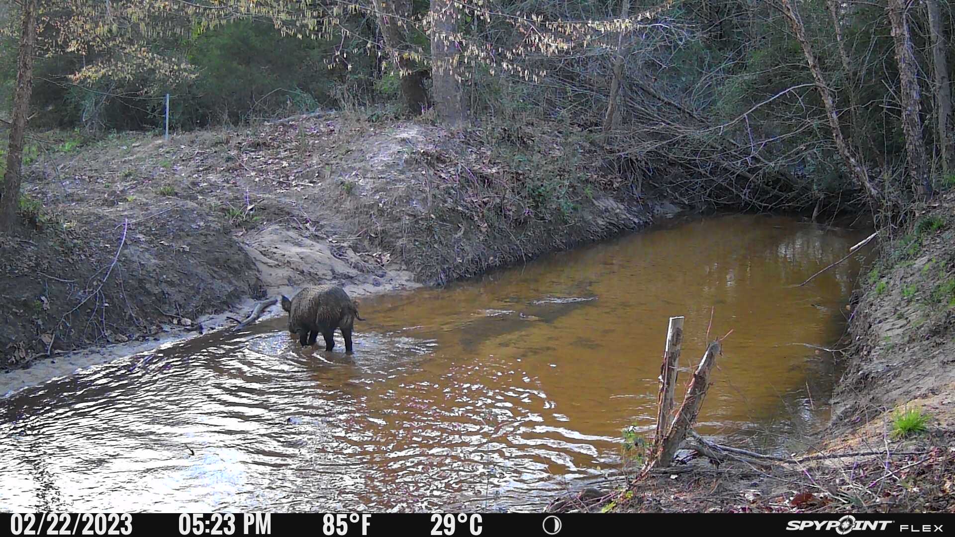
Surface Water: Surface water on this property is limited to multiple small stock ponds and Bennett Creek. There are multiple springs noted on the topo map and evidence of those areas is clearly seen when touring the property.
Improvements: There are no significant contributory improvements on the property.
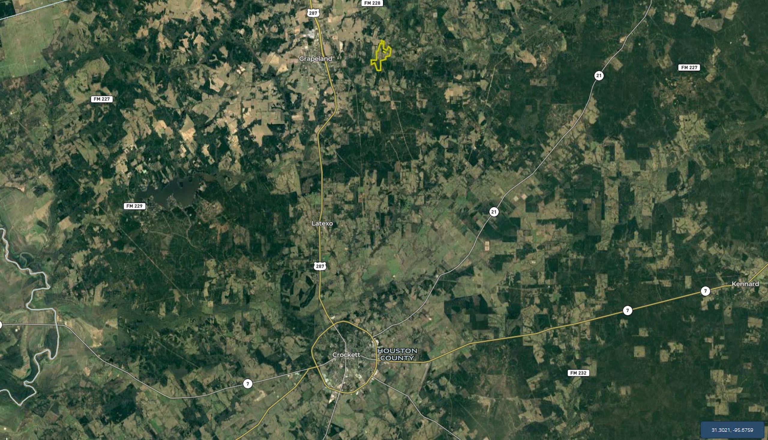
Location: The property is located approximately three miles east of Grapeland (Hwy 287) with frontage along FM 227 and CR 1865. Coordinates to the front gate along FM 227 are: 31.4982; -95.4274
Minerals: No sub-surface minerals are available.
Easements: The property has multiple oil and gas pipeline easements. A historic cemetery is located in the NE portion of the property and perpetual access is assumed. There is also an out-parcel west of the cemetery that is assumed to have easement access. The boundaries of the out-parcel are not marked, and it appears that the area has been utilized by the owners for multiple years with no interruption in use.
Summary
Address
Land Type
Property Type
Land and Farm Property Types
Road Frontage
Road Surface
Fencing
Outbuildings
Land Details
Improvements/Features
Details
- Two areas with FM frontage & additional CR frontage
- Great mixed-use potential
- Bennett Creek frontage
- Rolling topography with 90’ of elevation change
- Located within Grapeland ISD
- Close proximity to the US Hwy 287 corridor
- Ag Exemption in place
- All boundary lines on map exhibits are approximate and should be verified by buyer
Other
Utilities
Coordinates
Annual Taxes
Sold Property
For more information or to see additional properties currently for sale see Cody Robertson's listings.