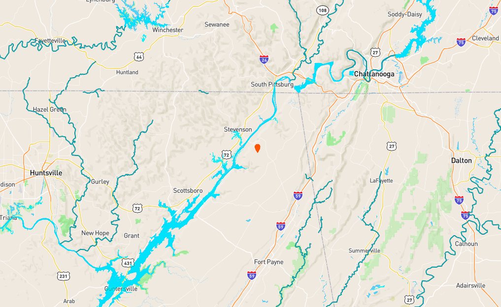
Jackson County
Hunting And Timberland Tract With Pond Near Flat Rock
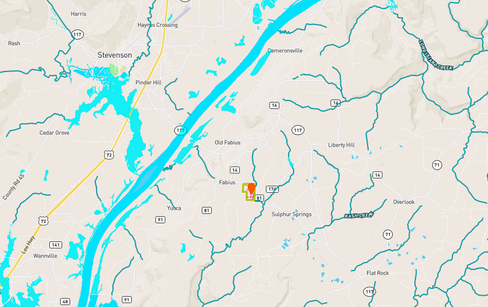
Co Rd. 81, Lot#WP001 Flat Rock, AL 35966
Description
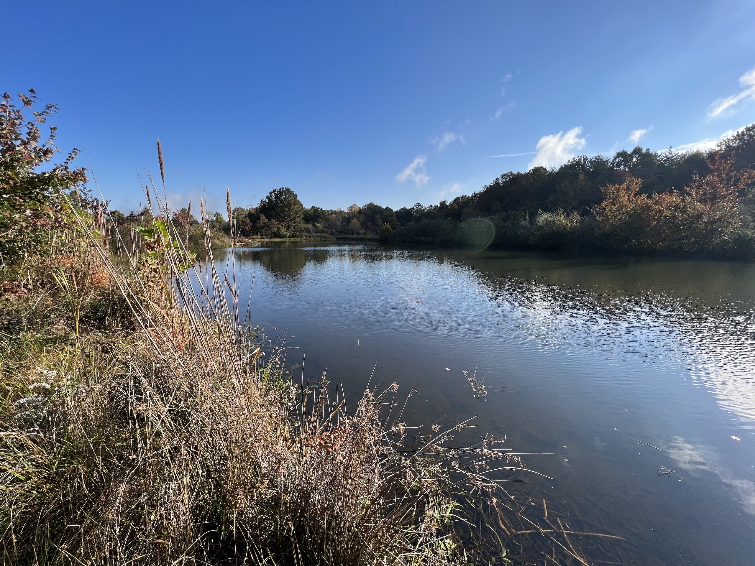
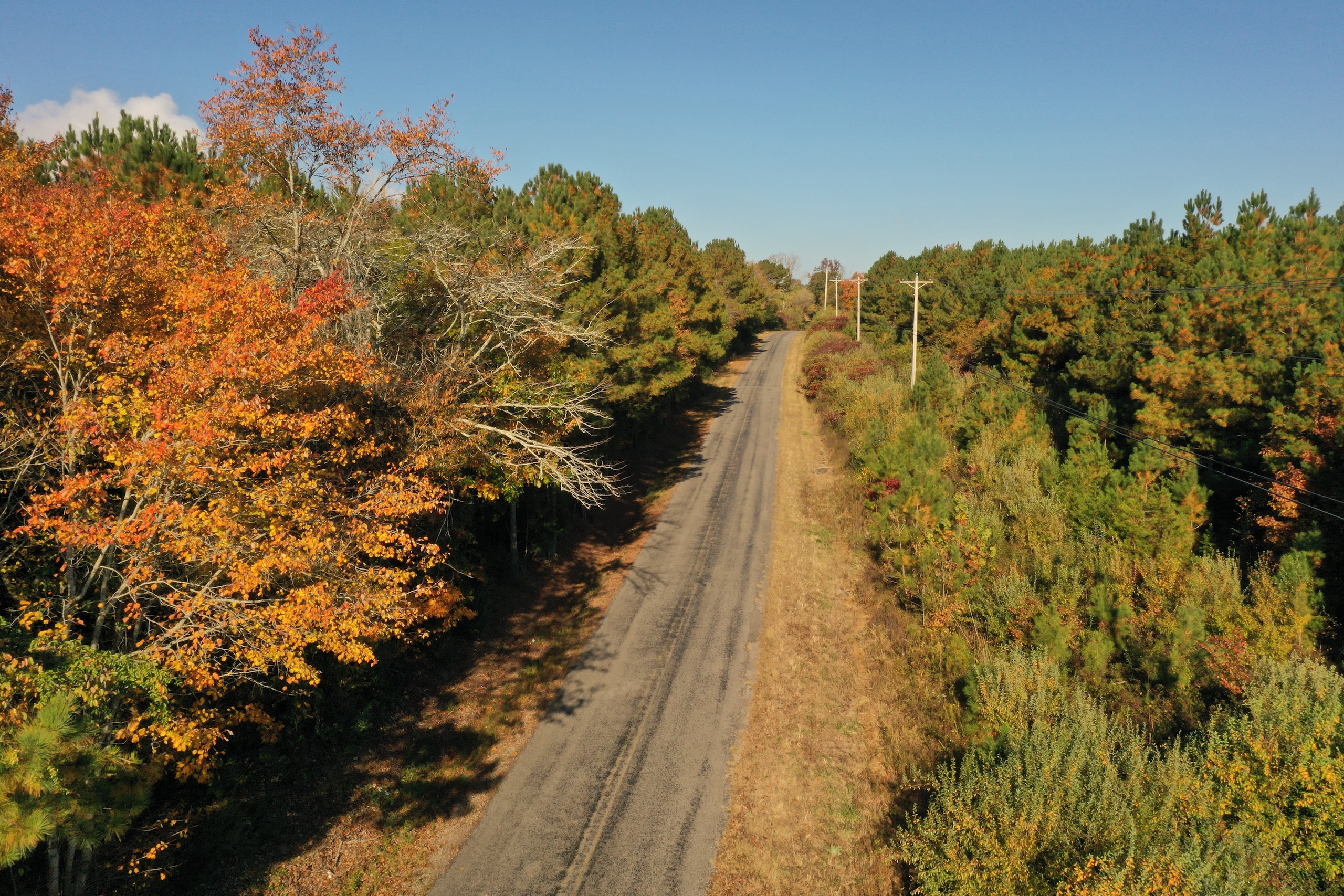
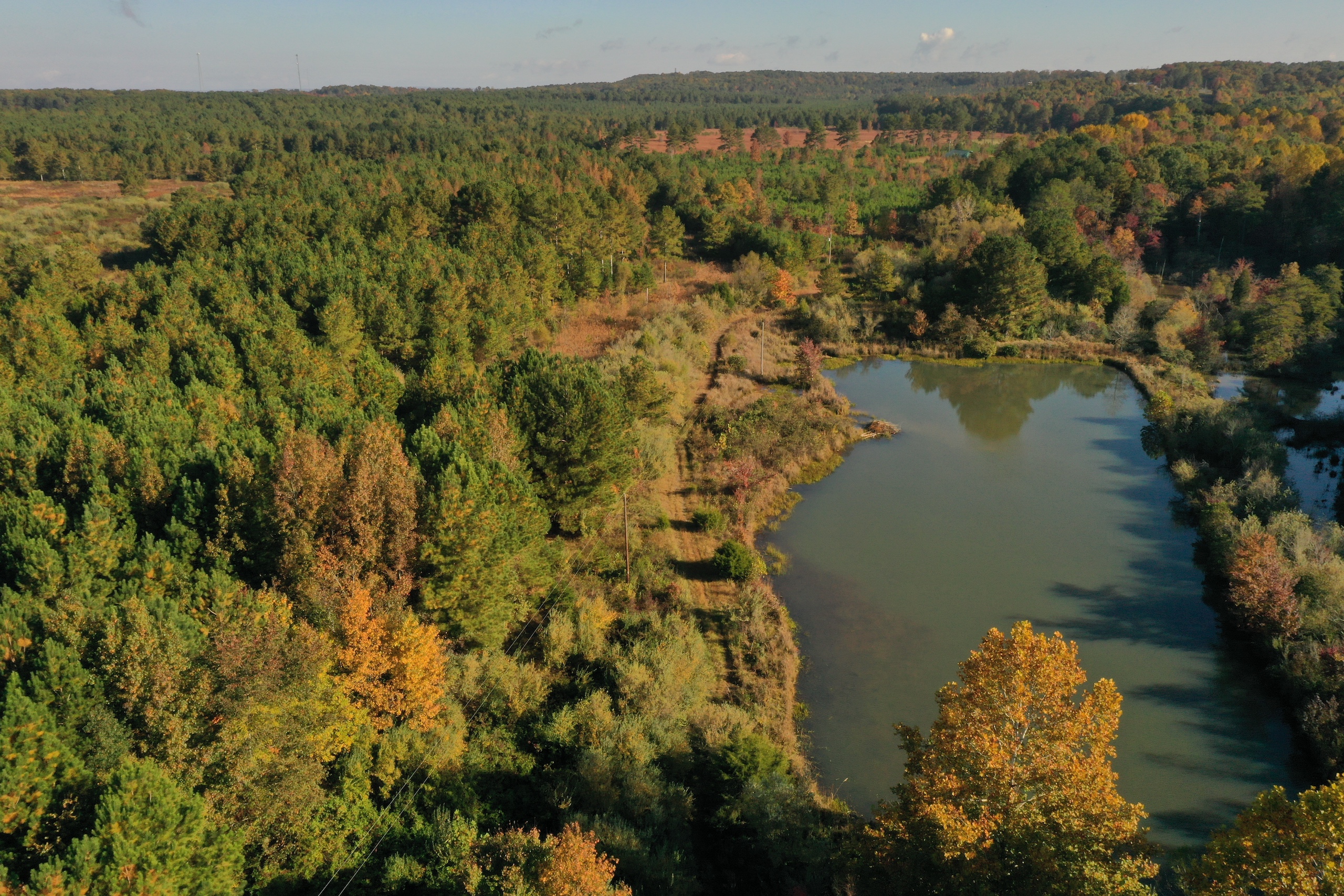
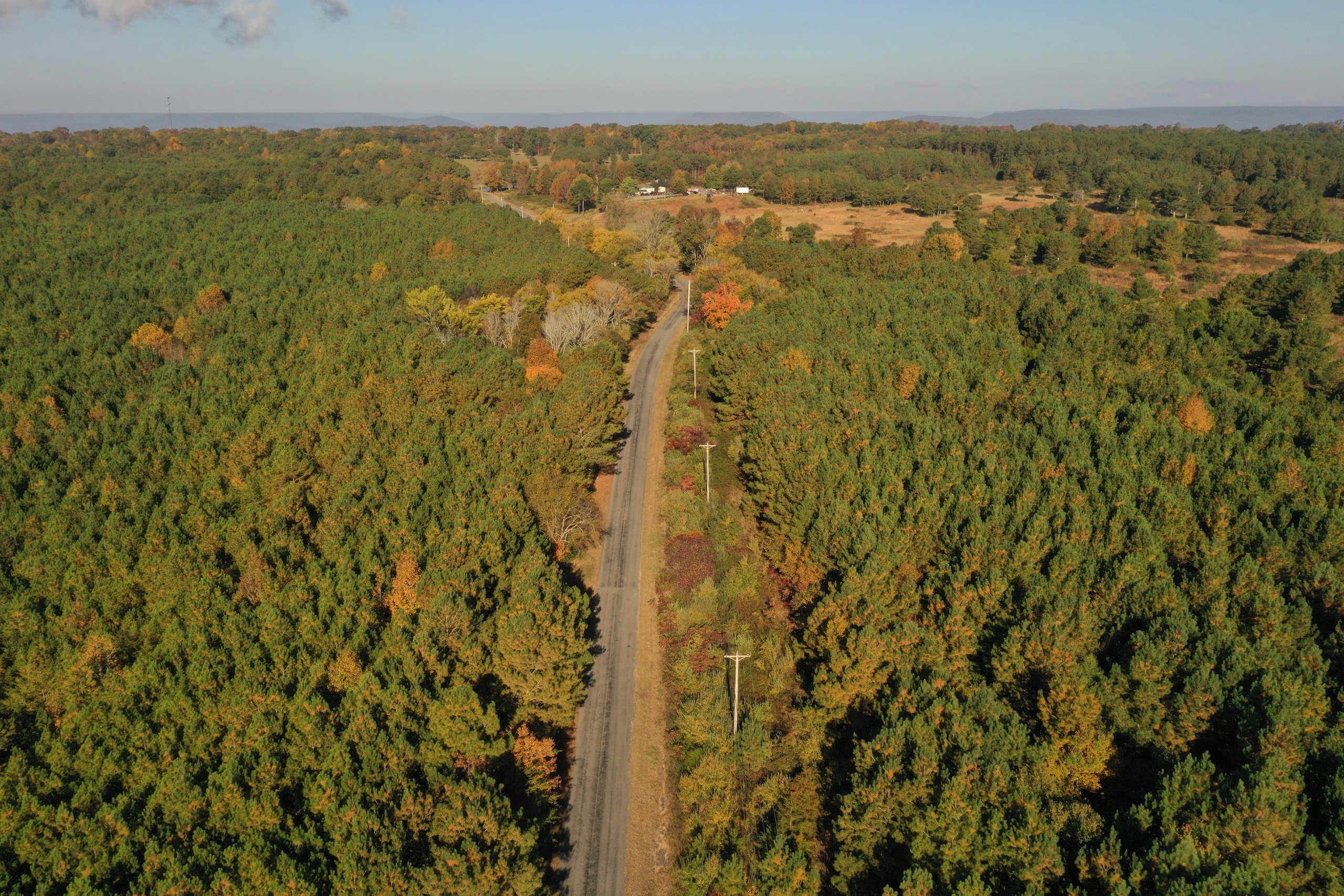
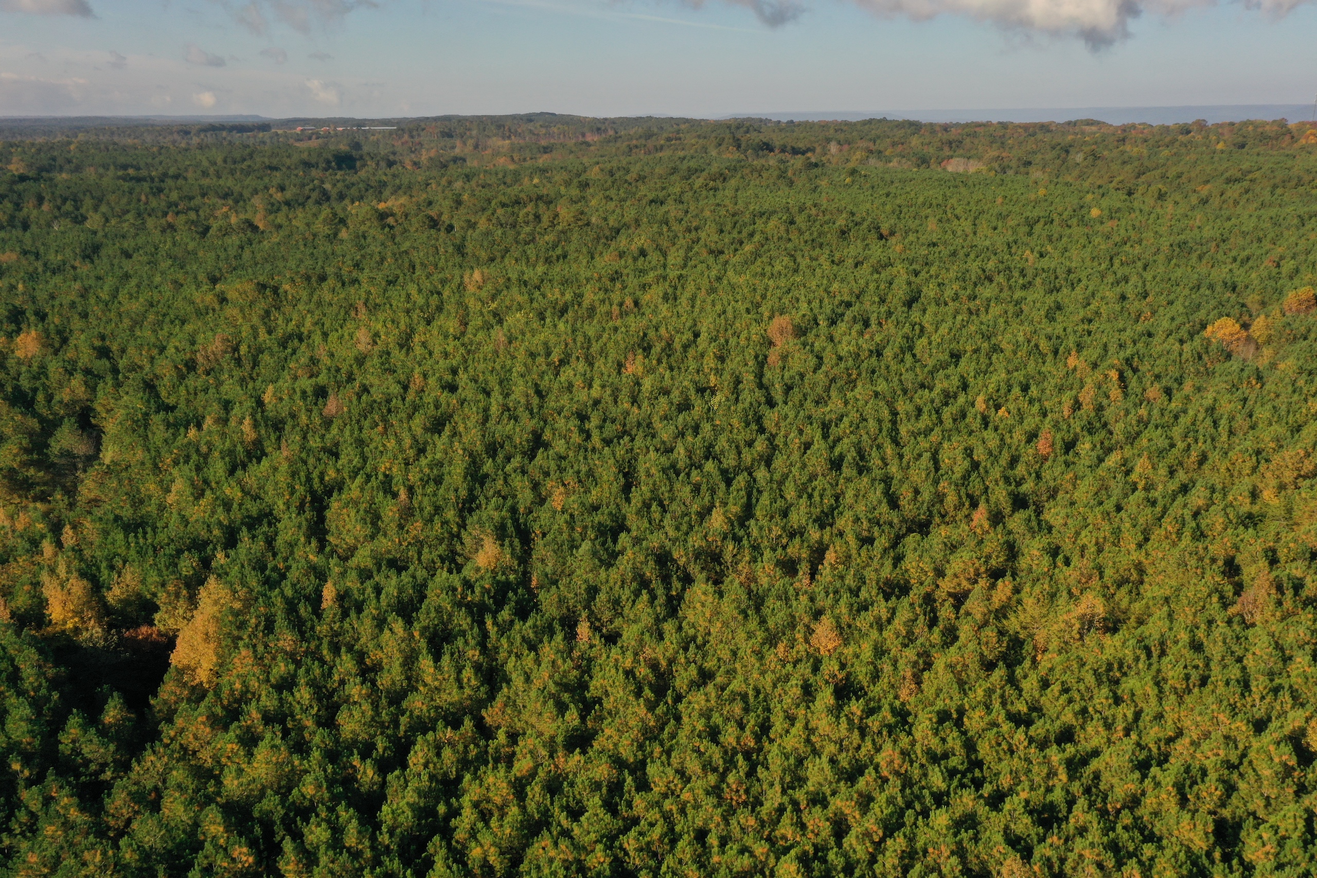
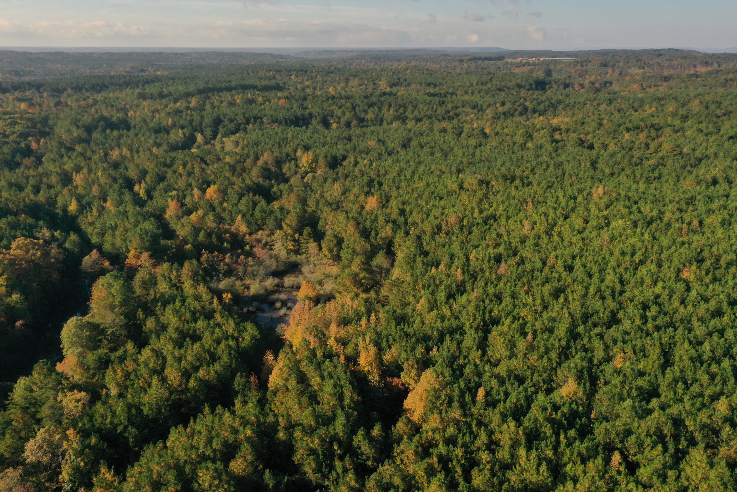
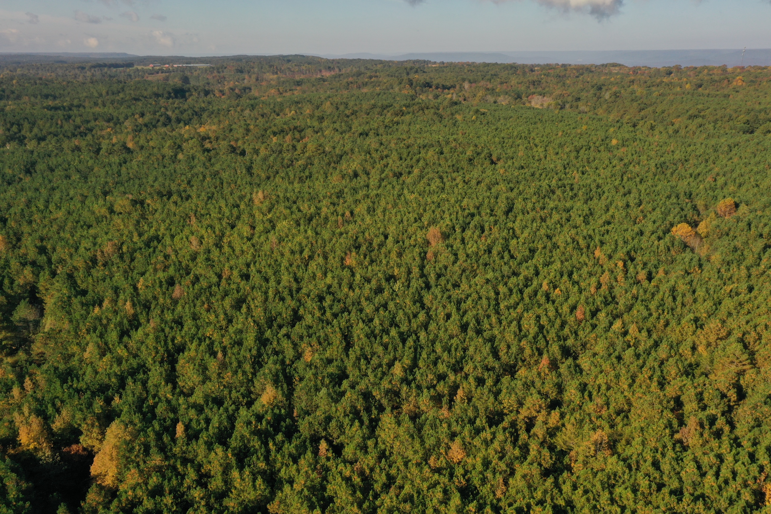
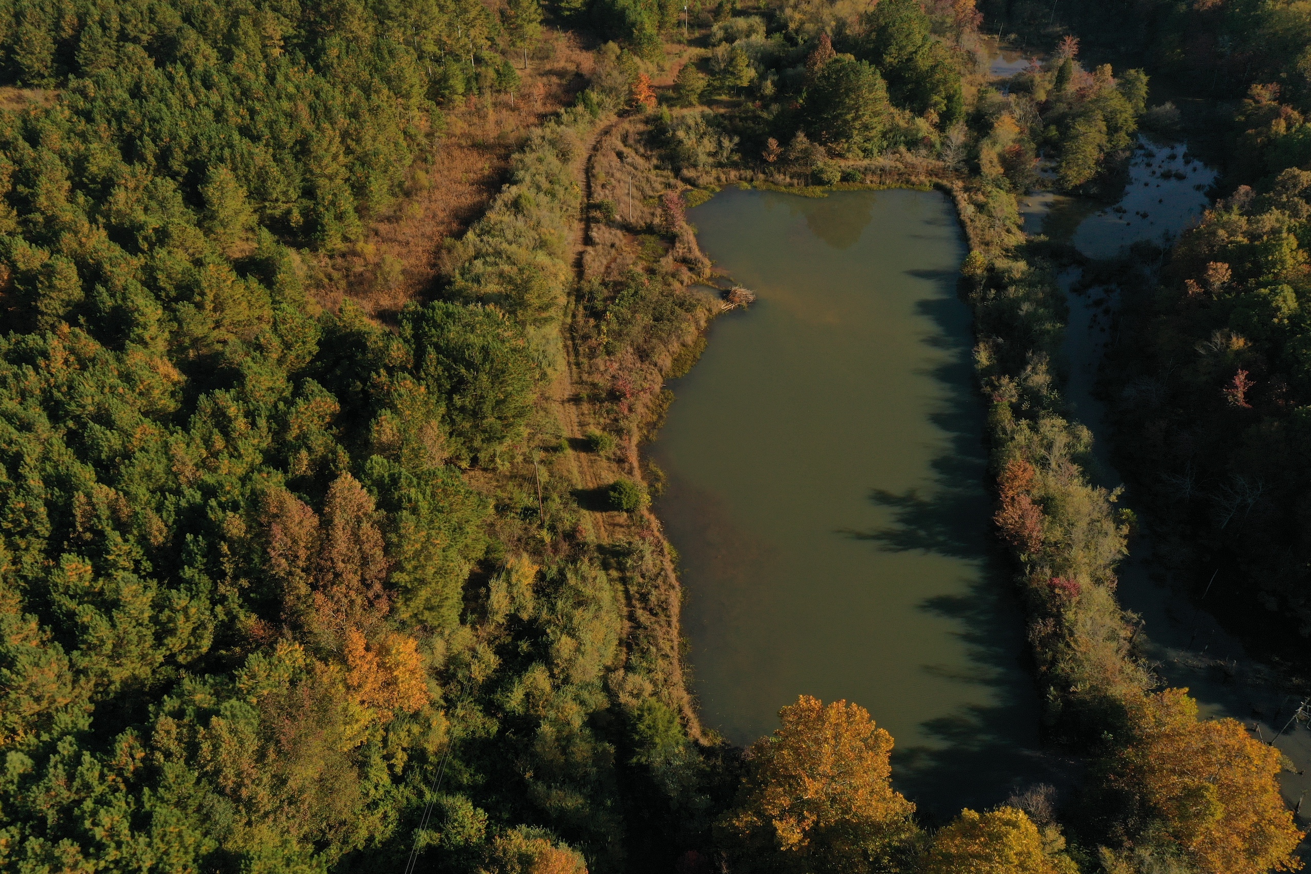
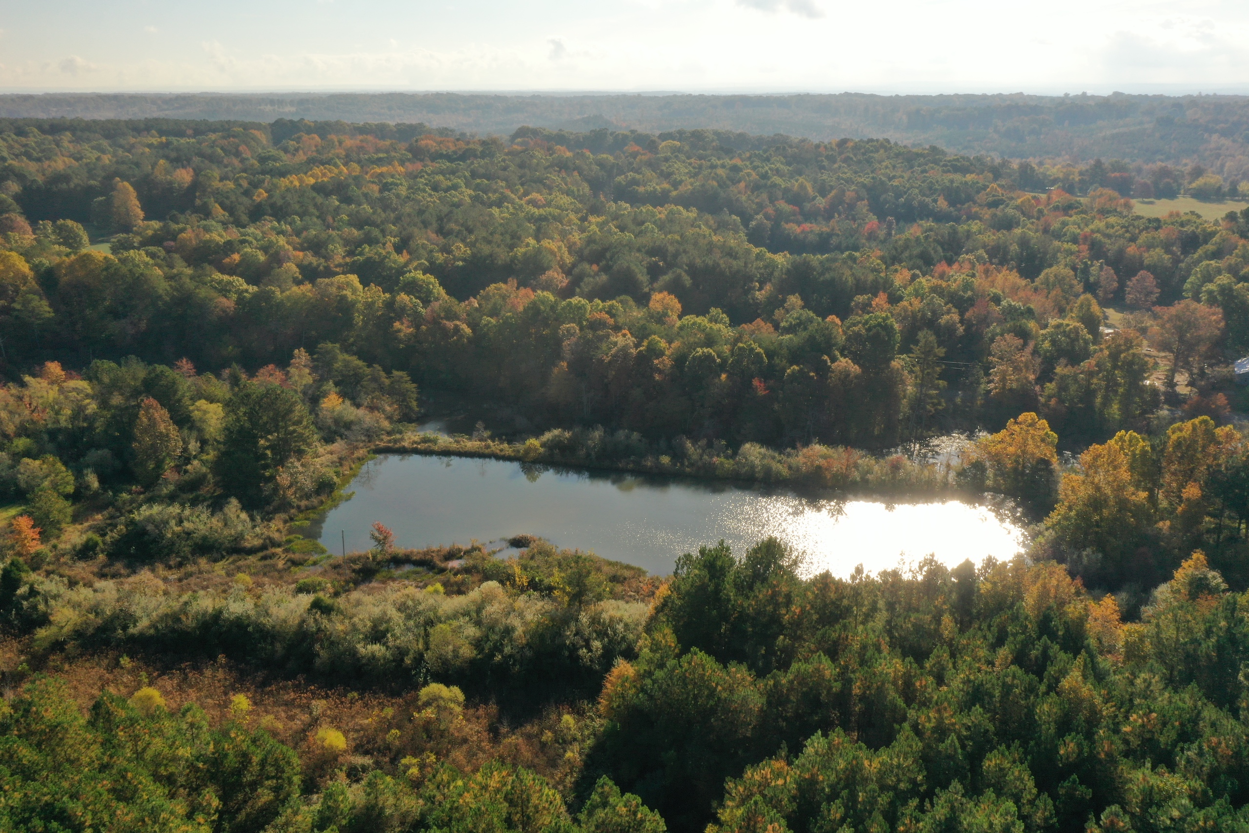
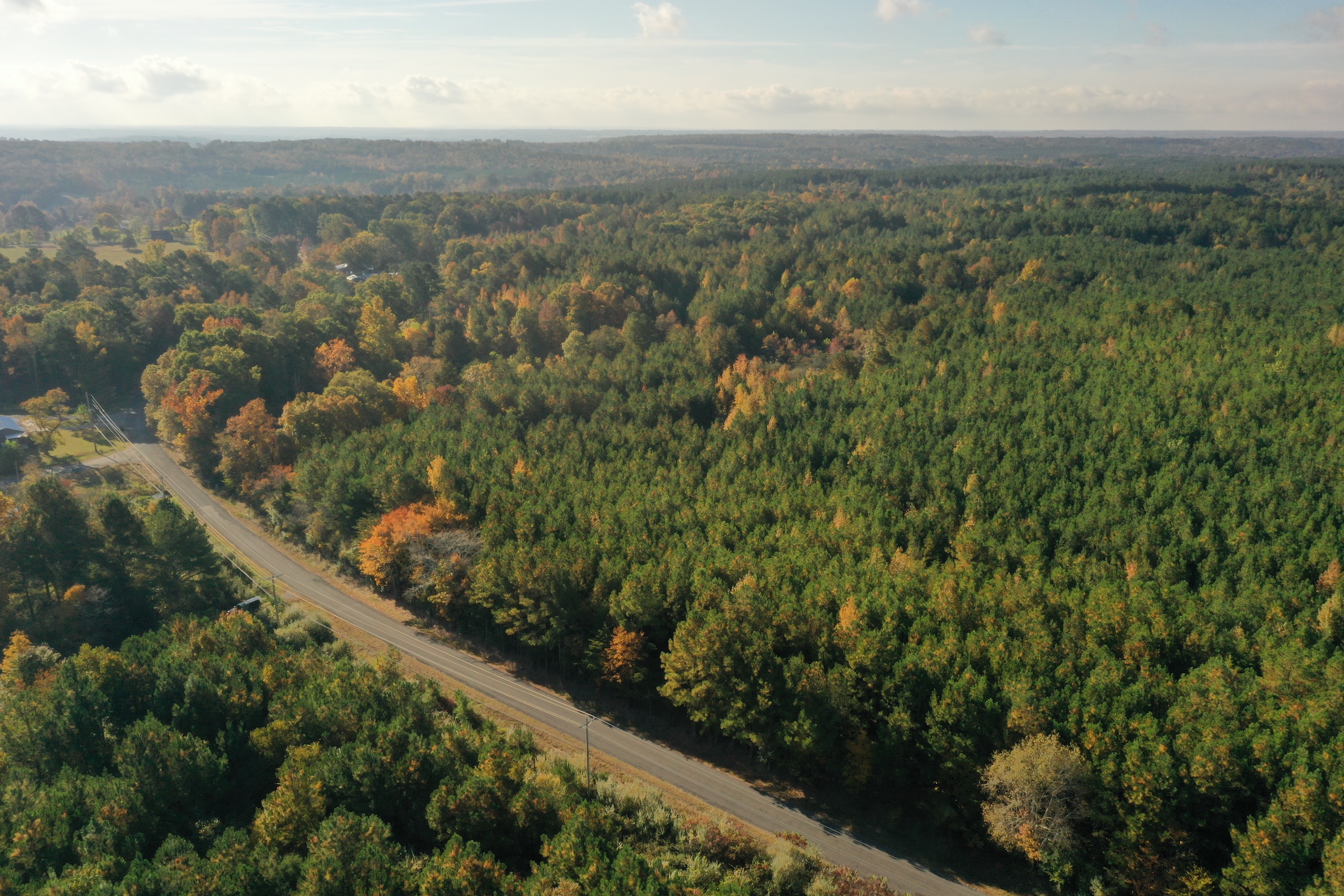
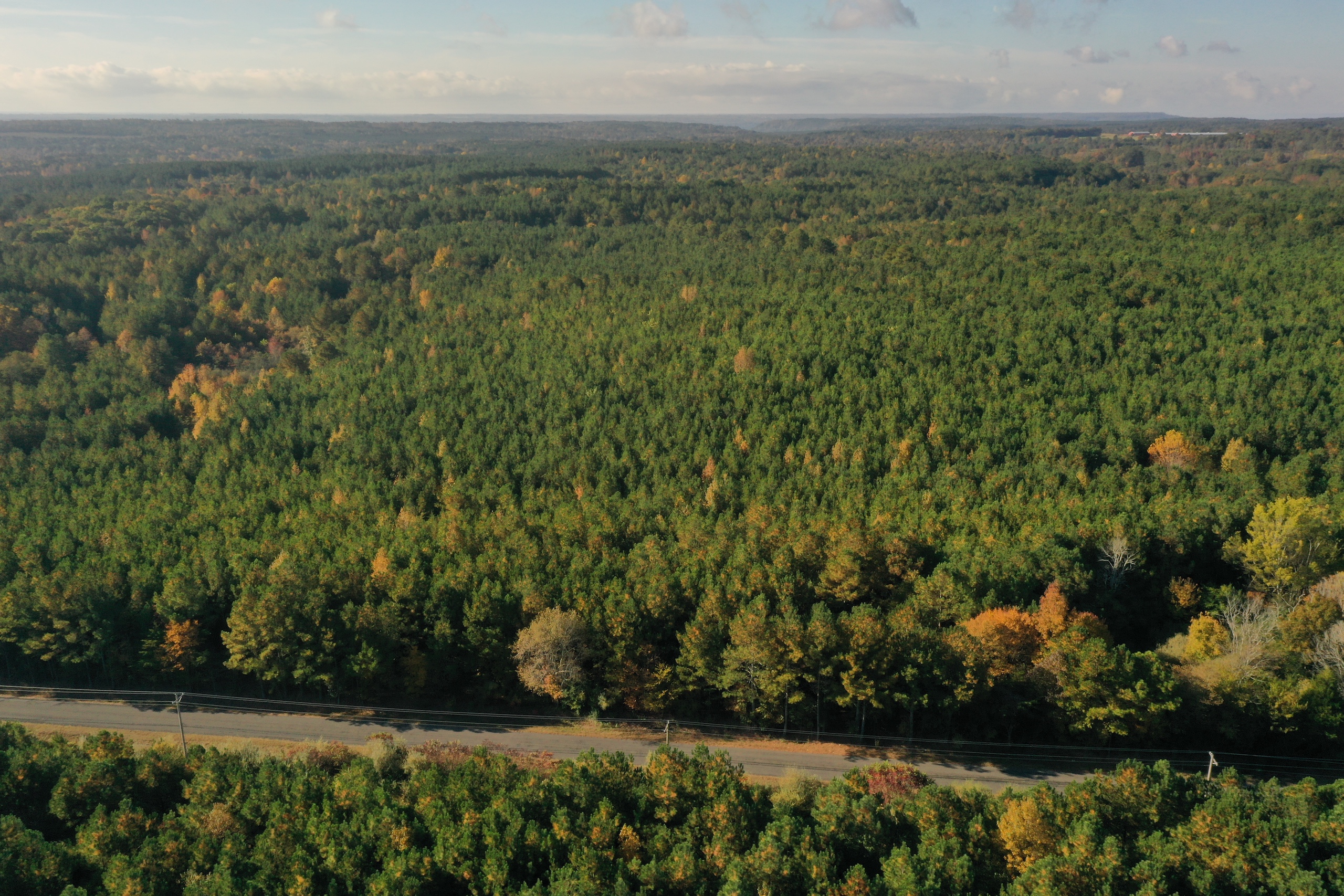
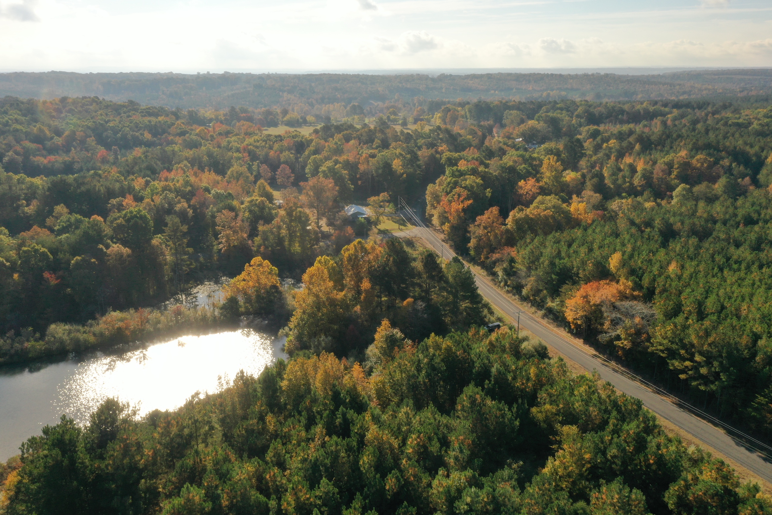
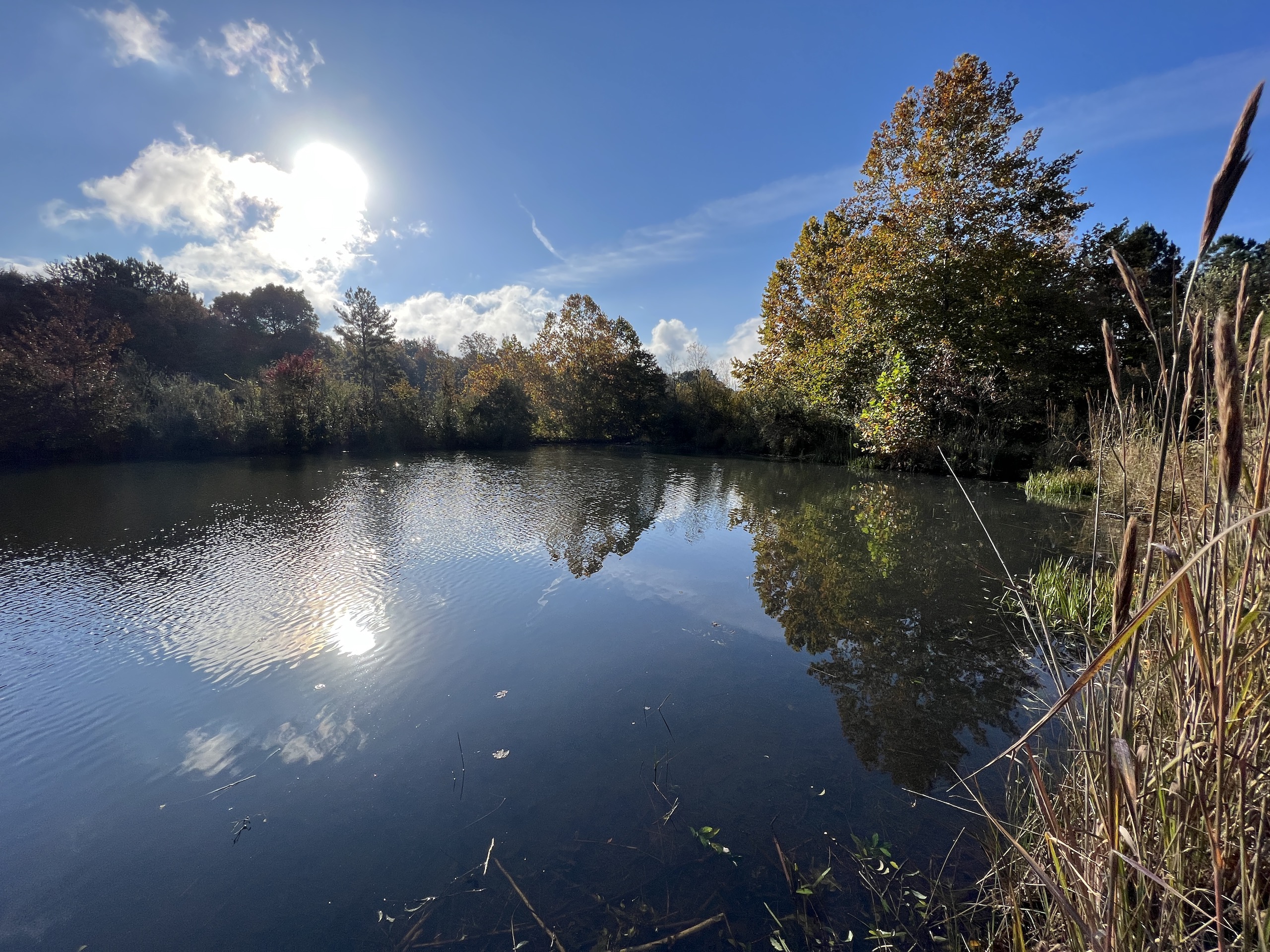
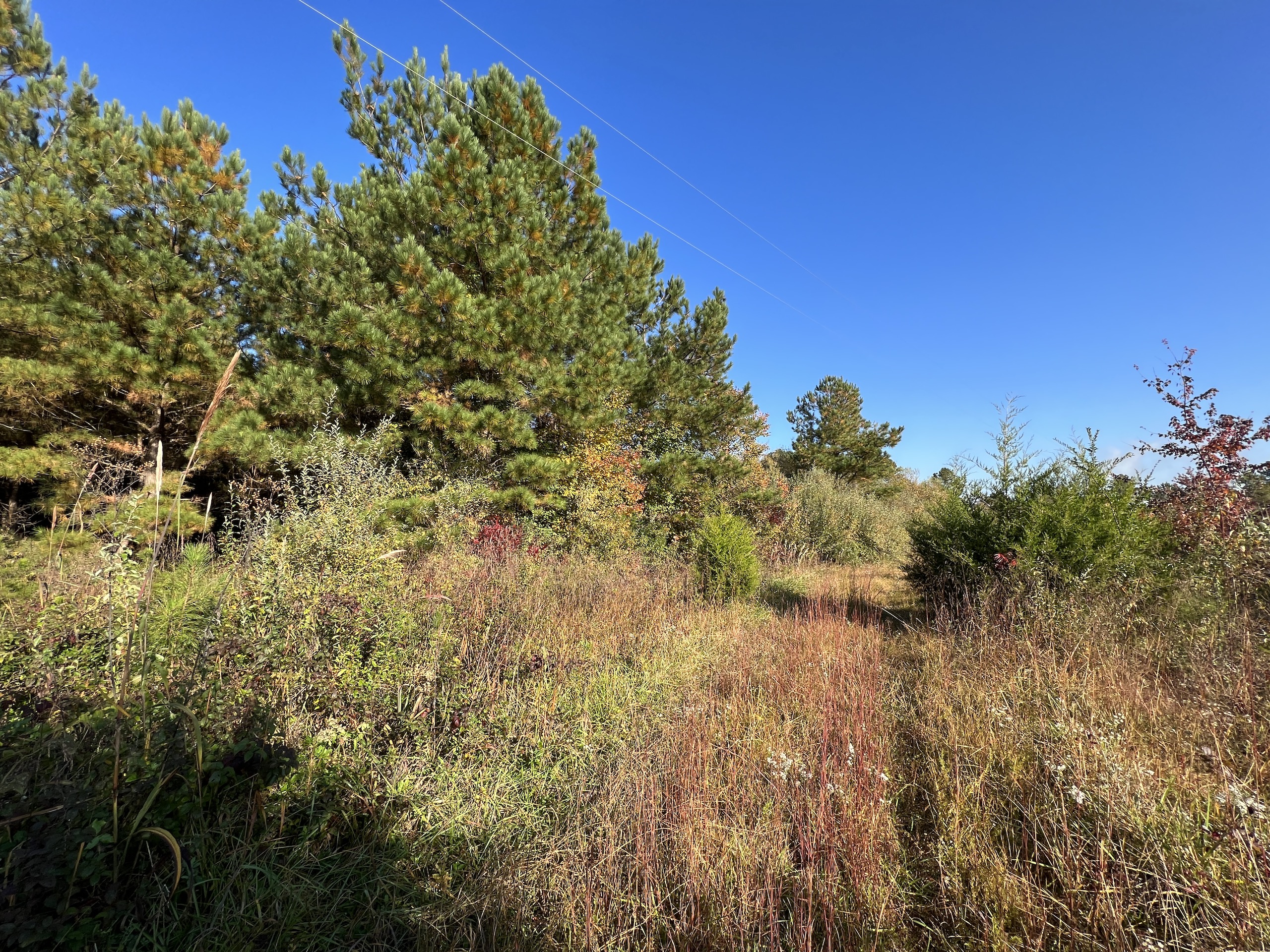
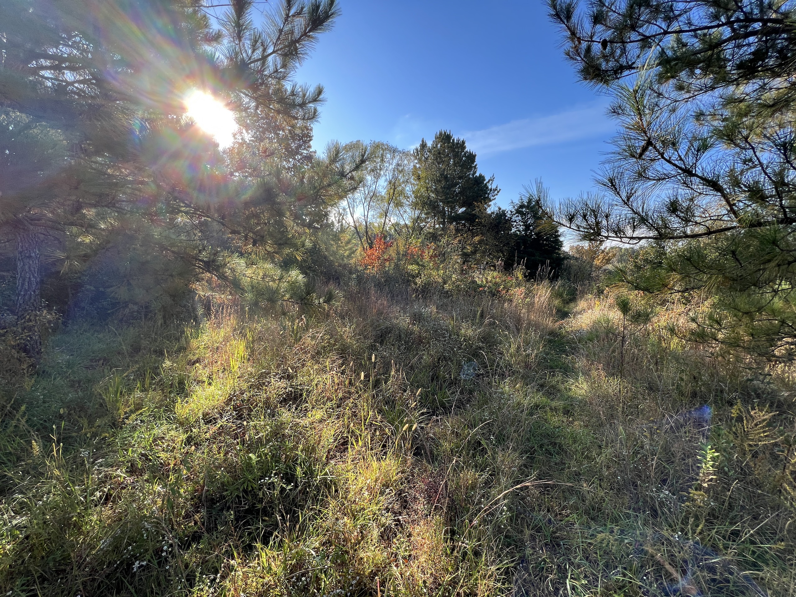
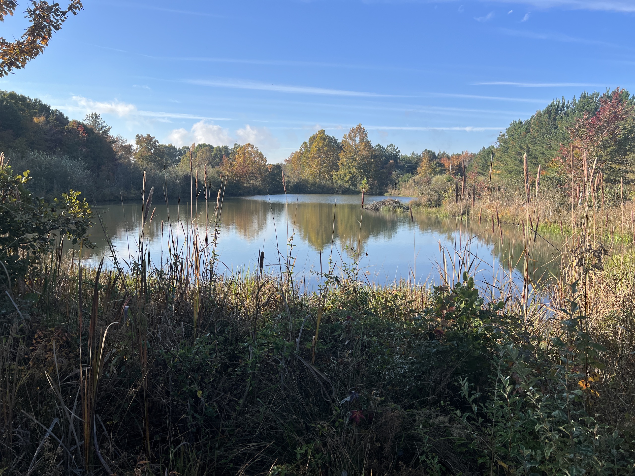
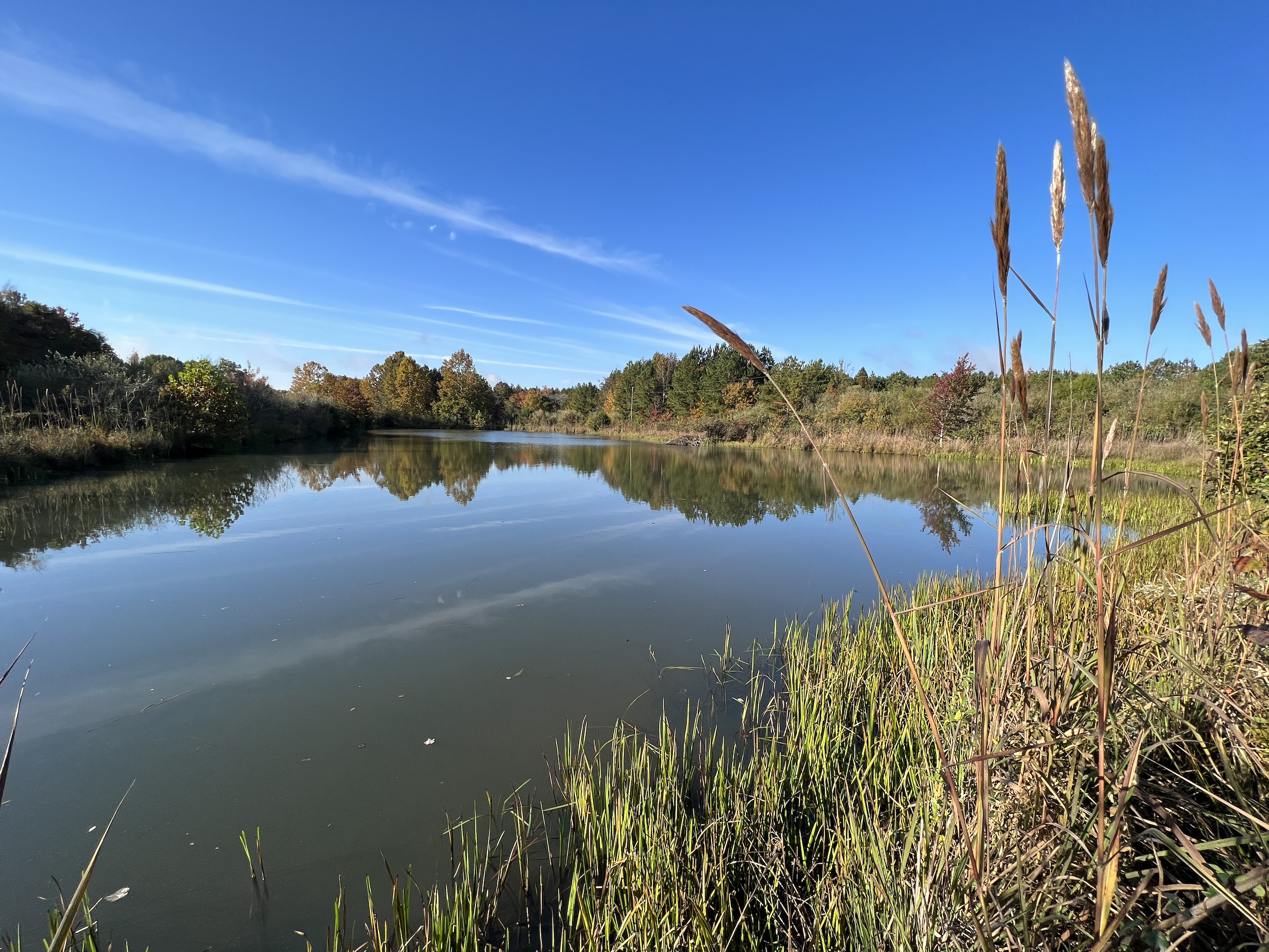
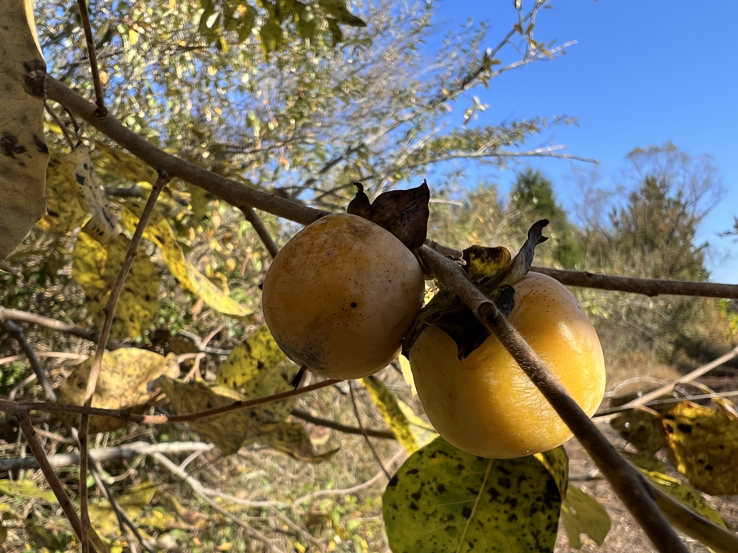
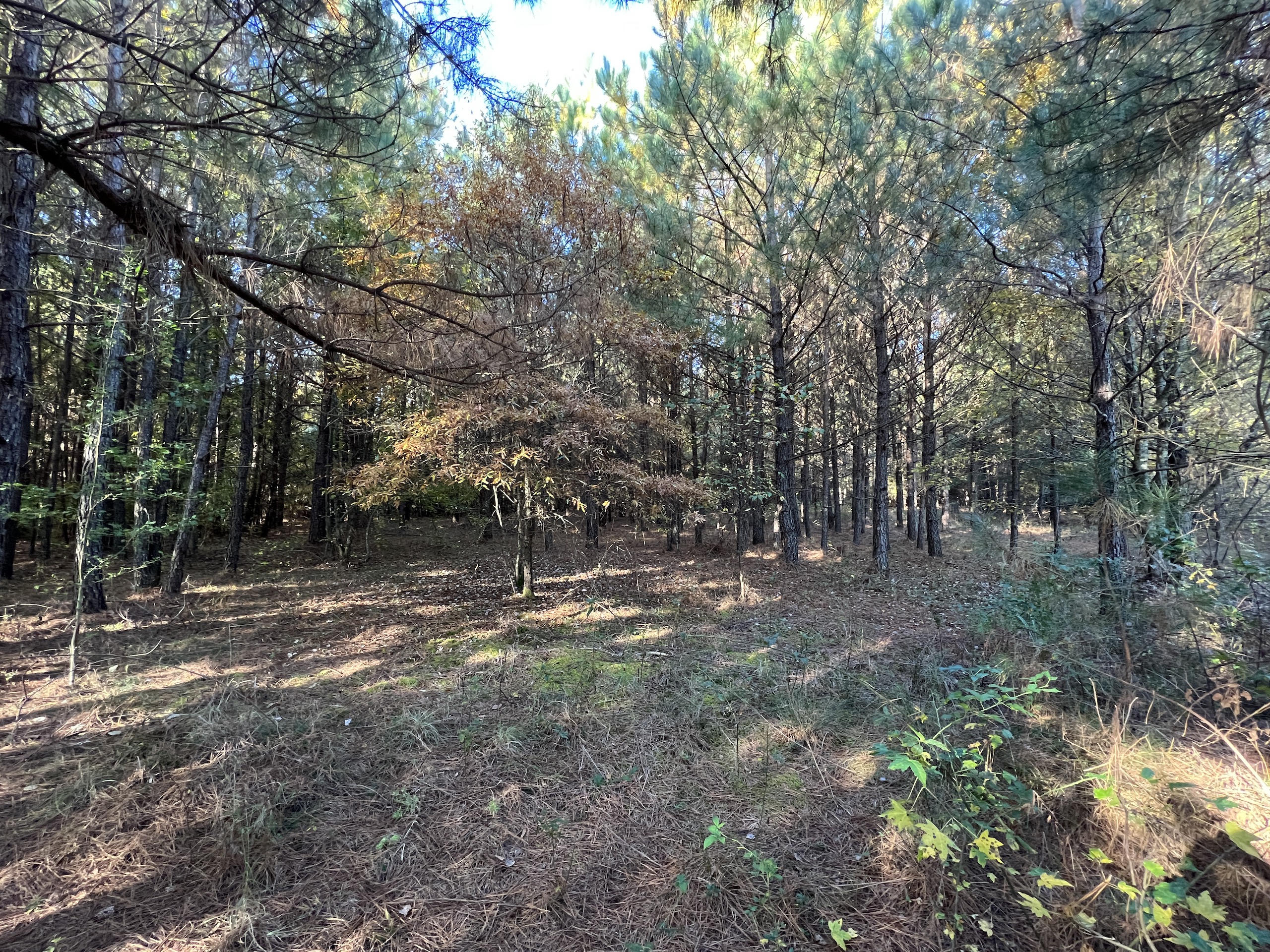
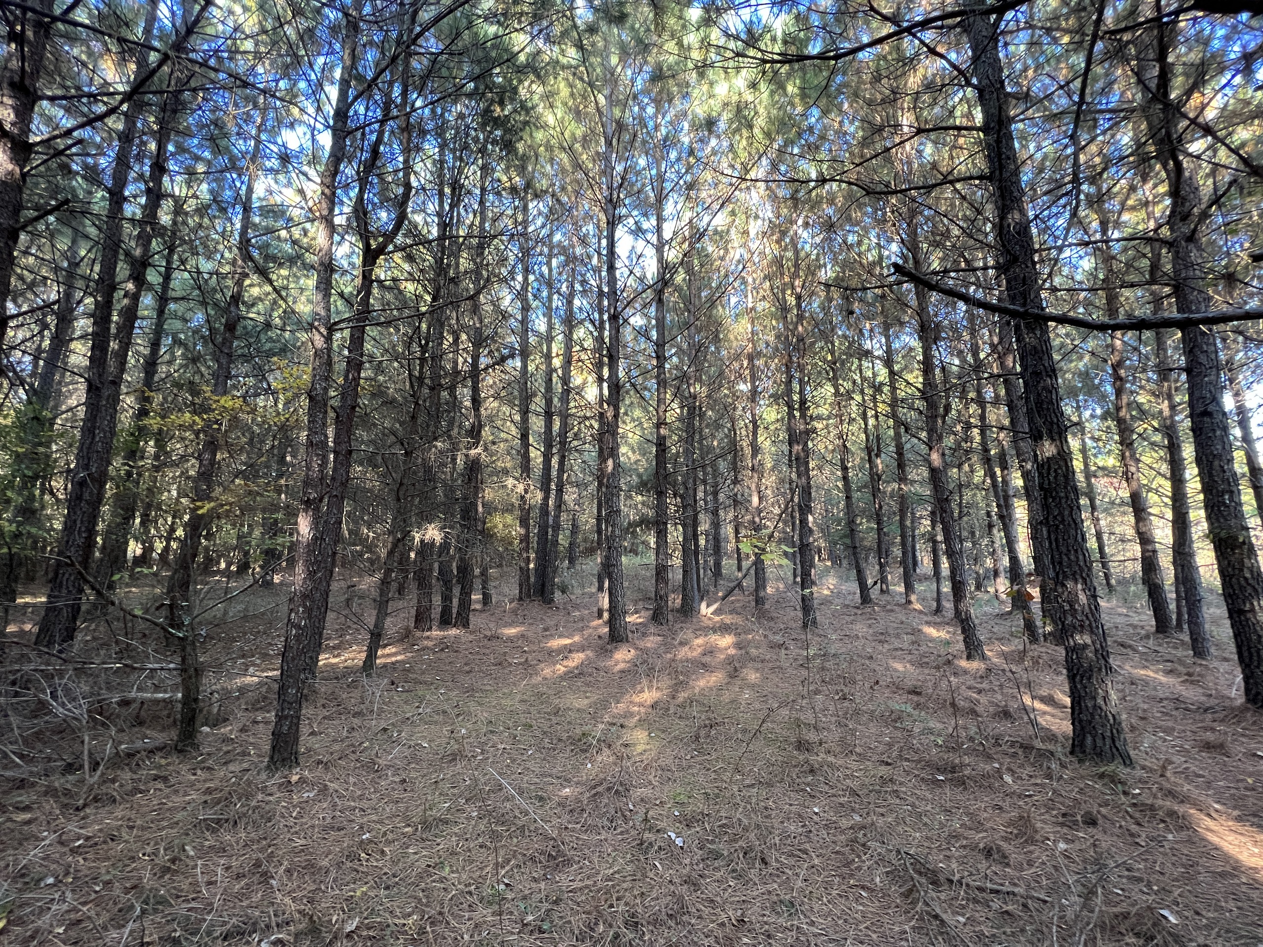
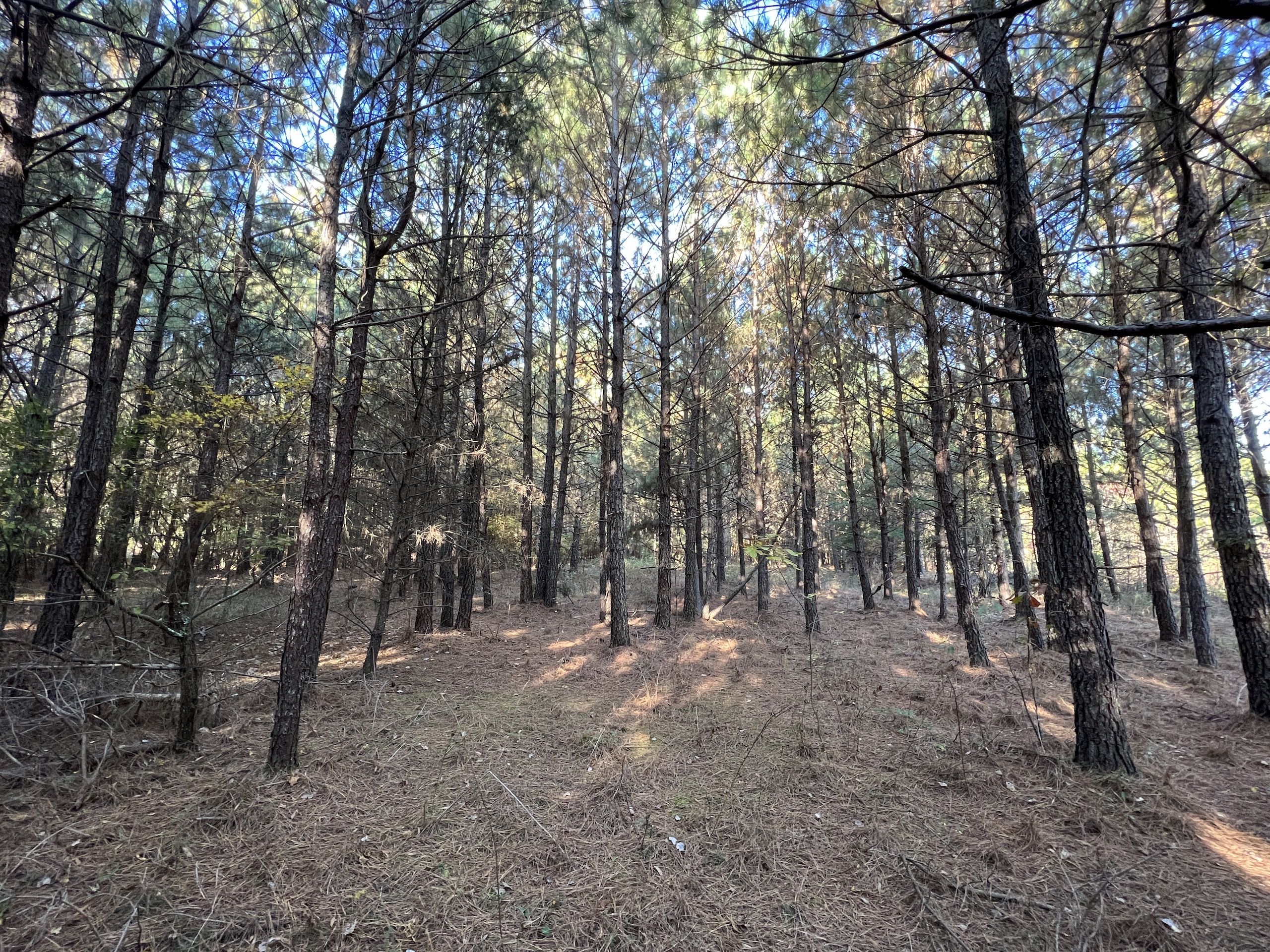
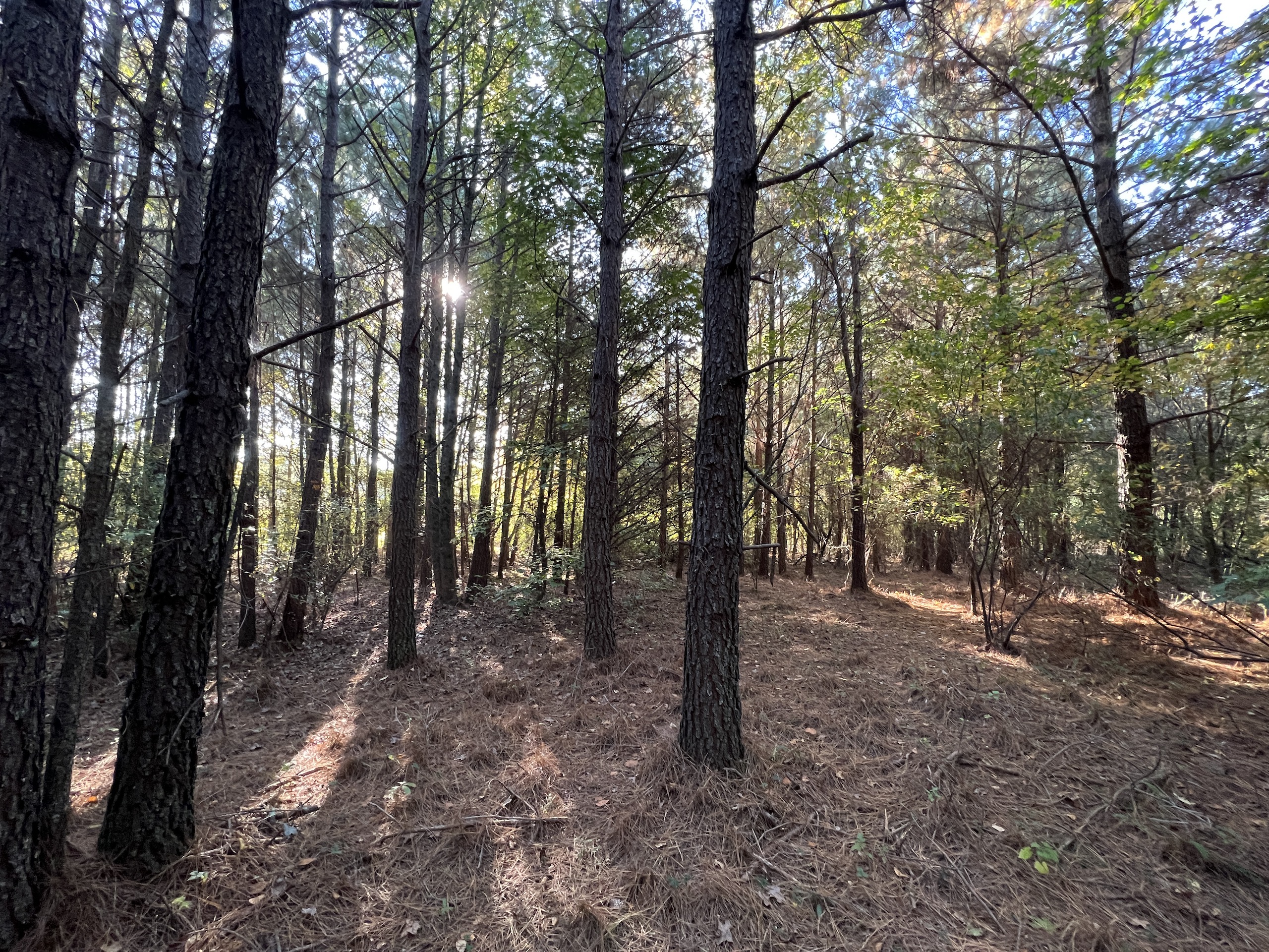
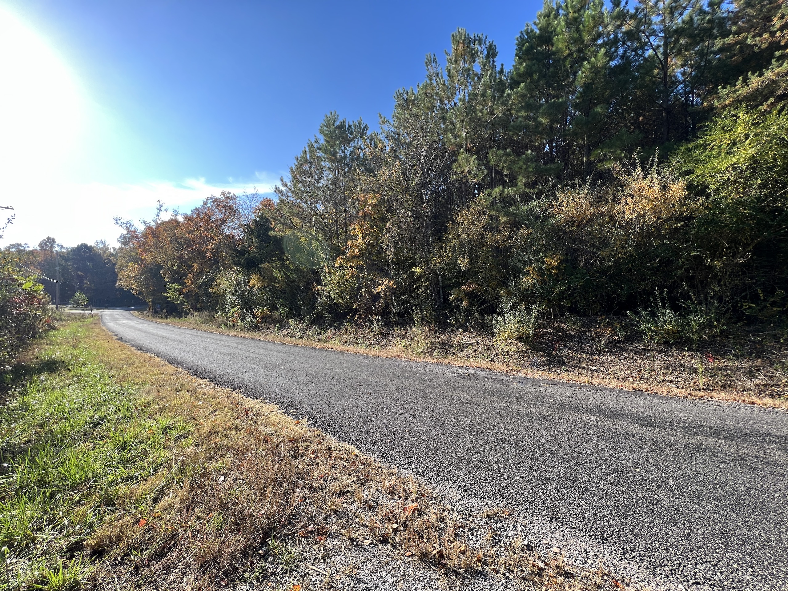
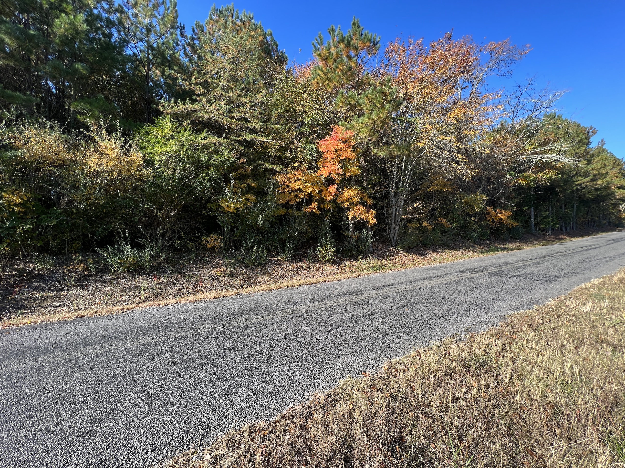
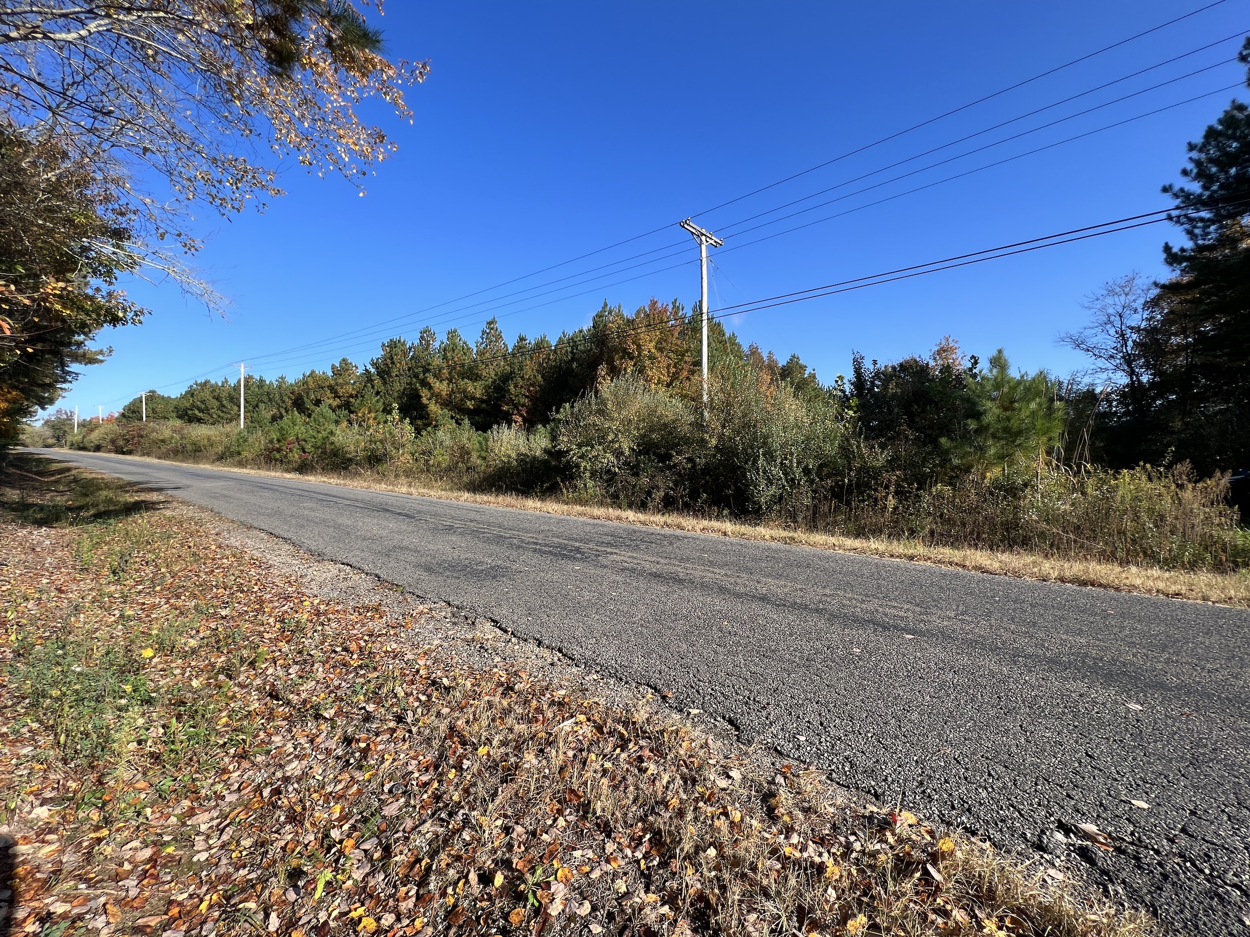
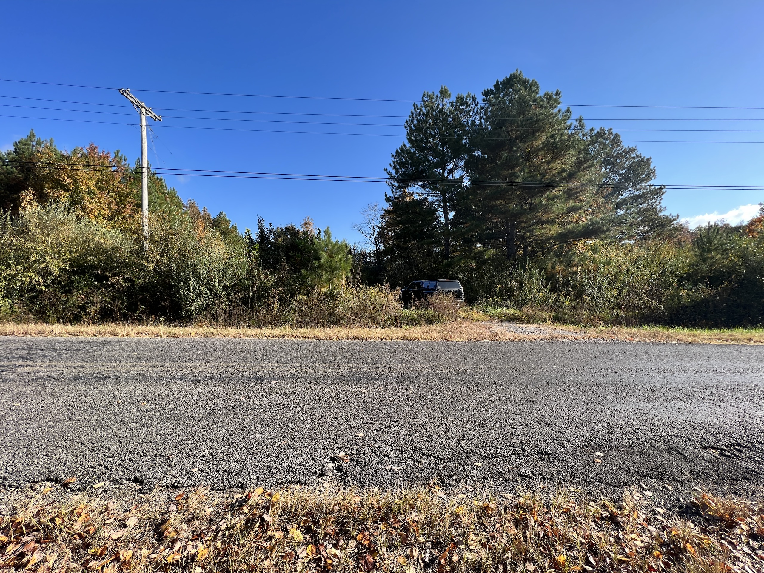
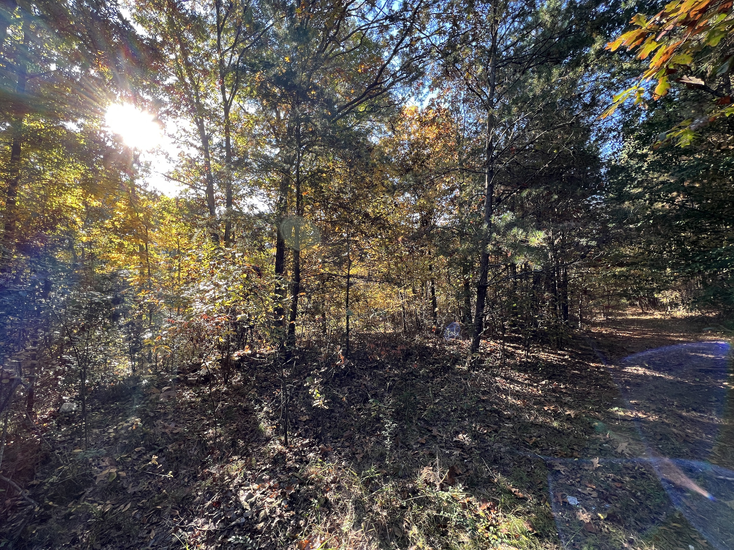
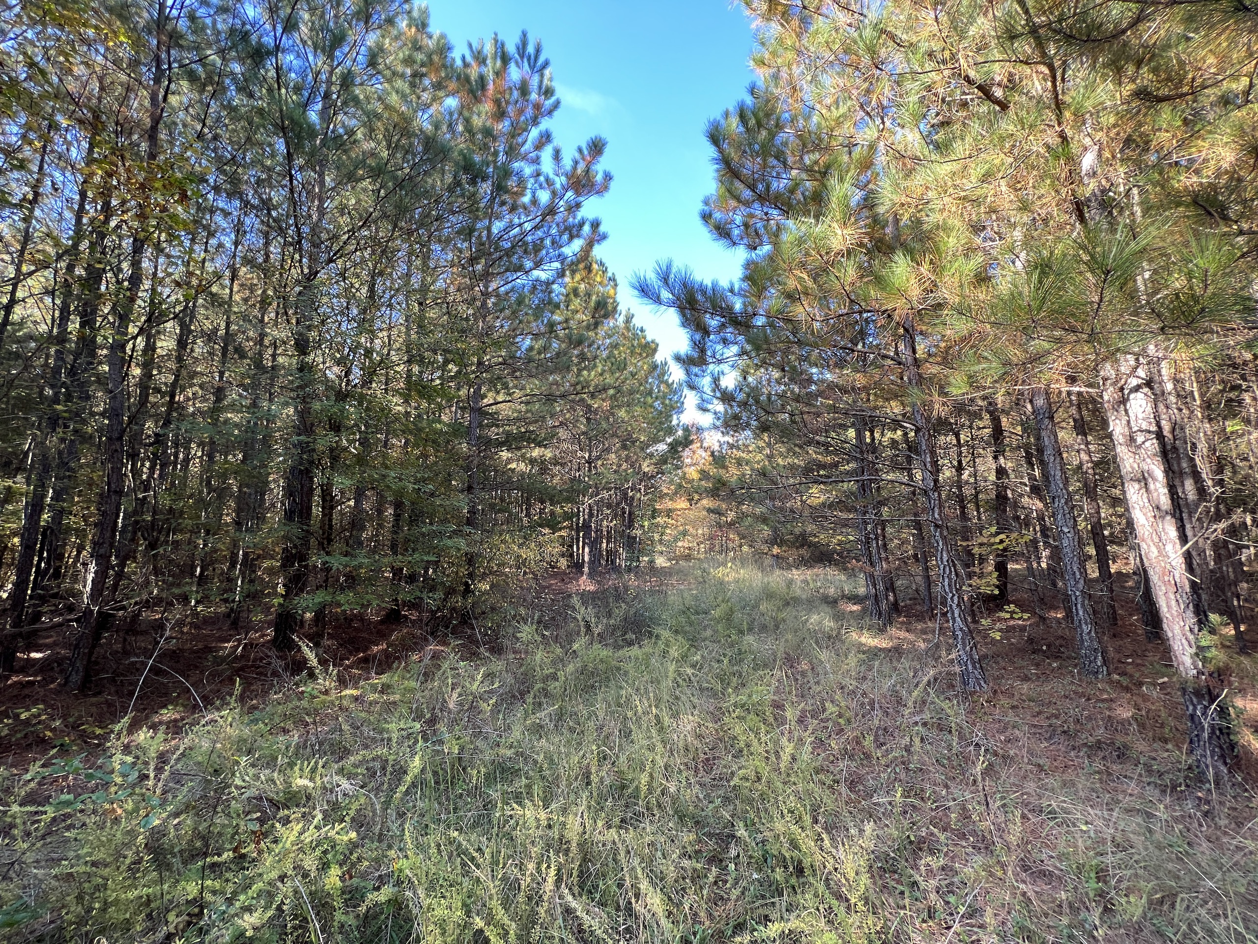
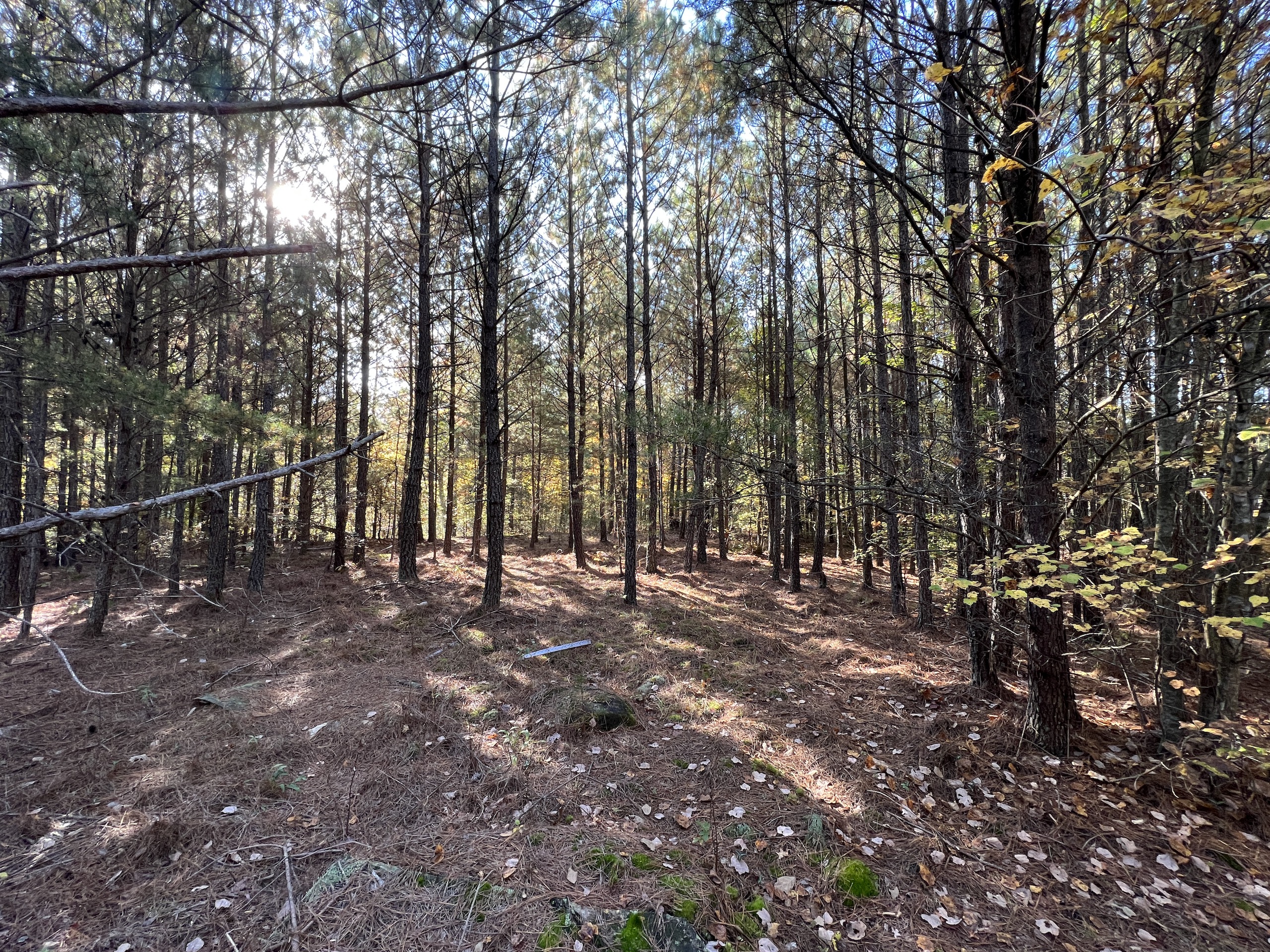
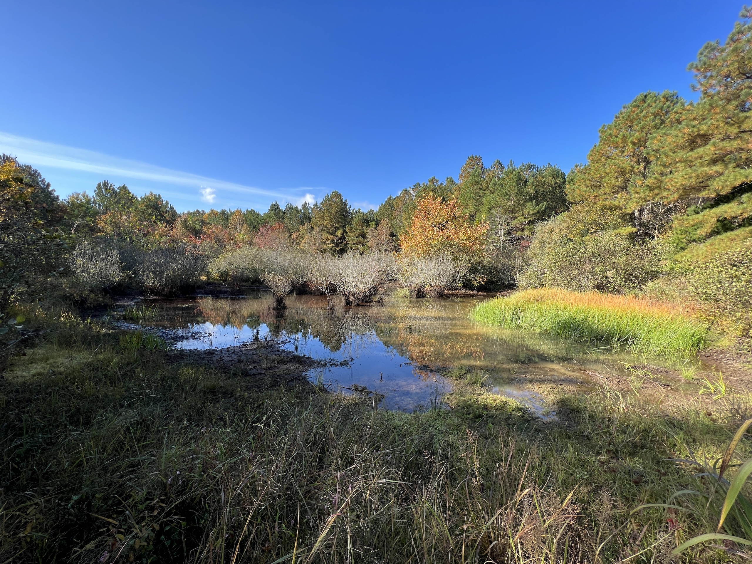
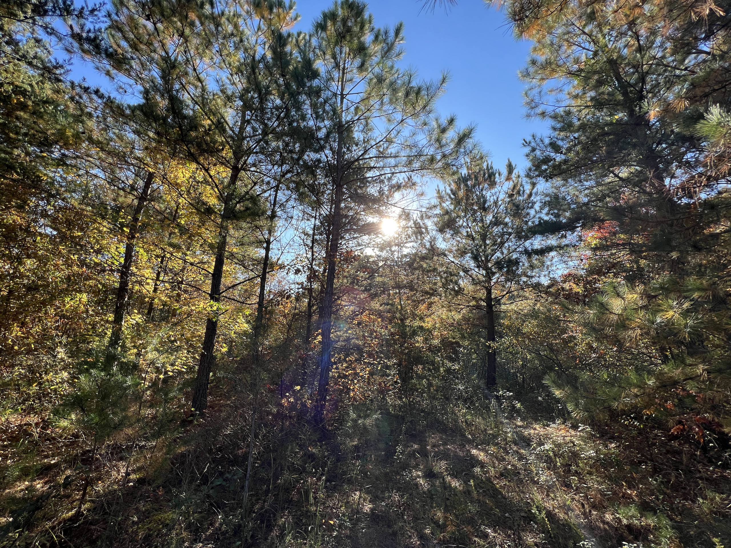
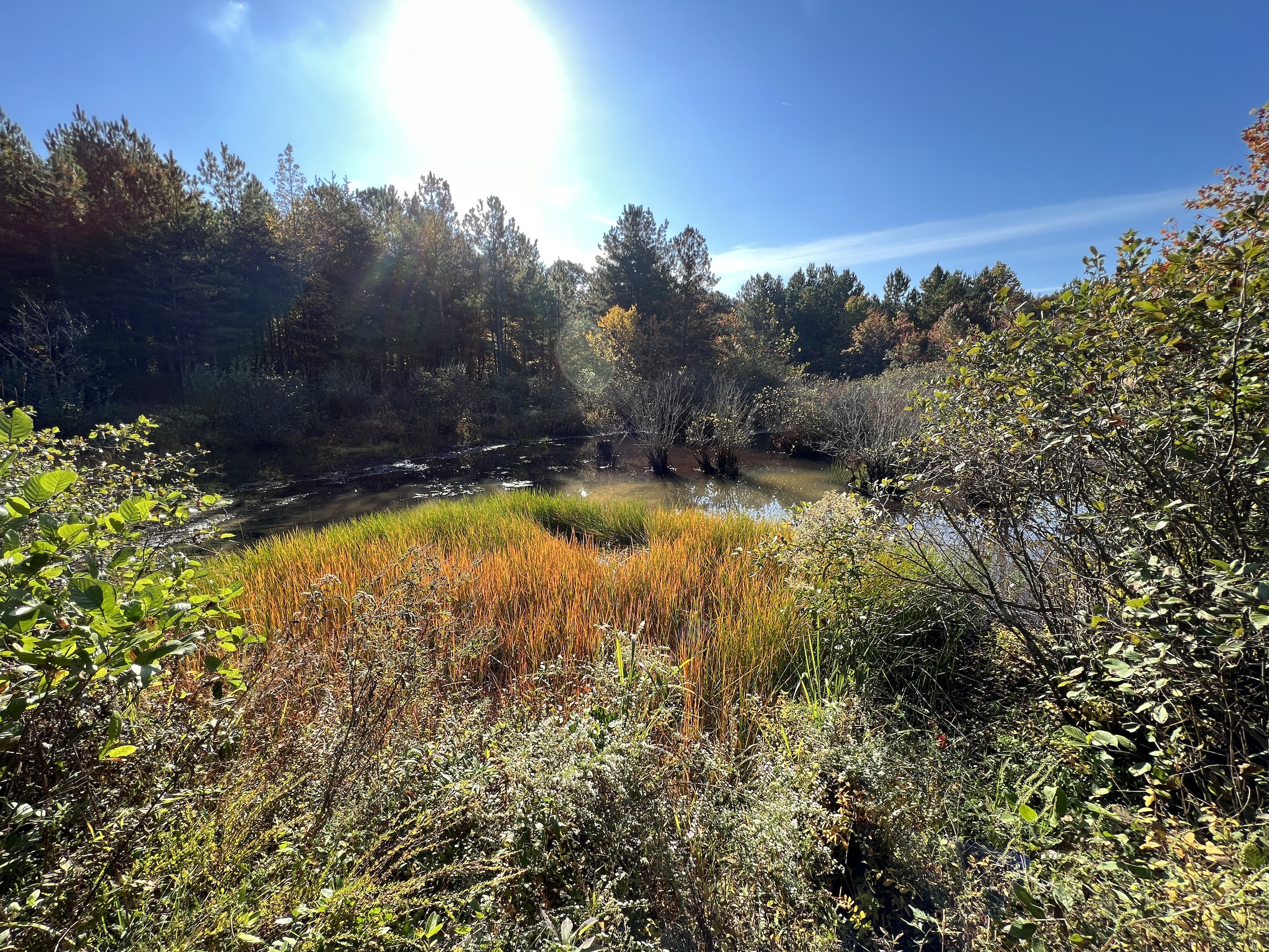
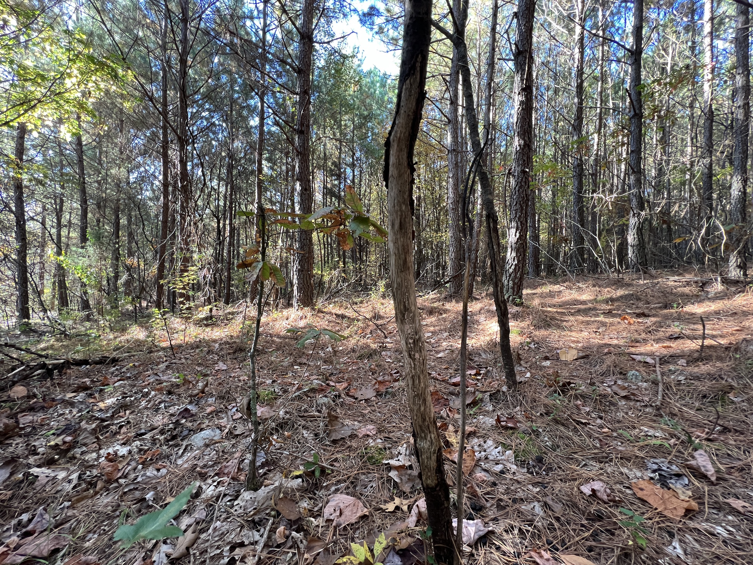
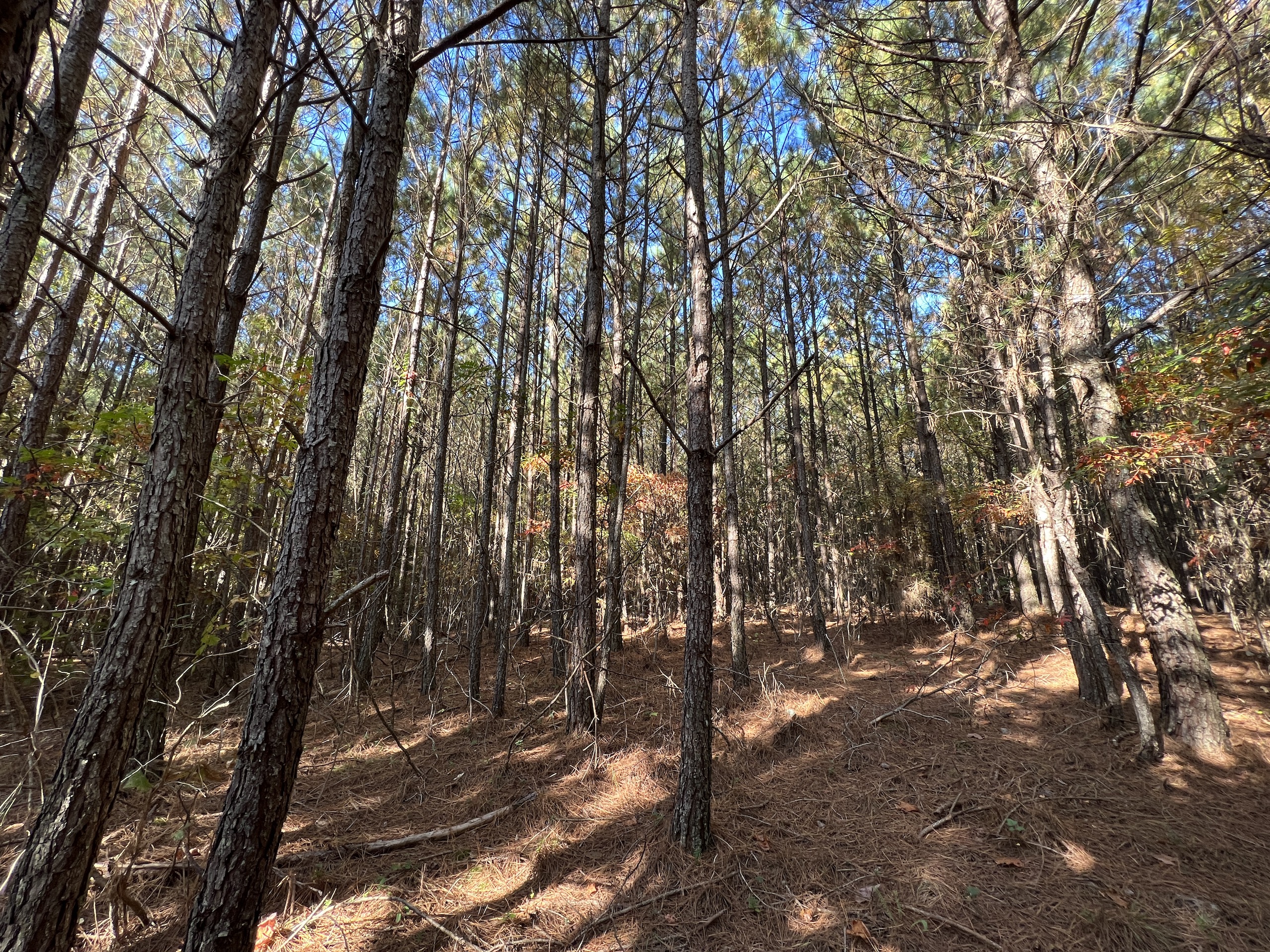
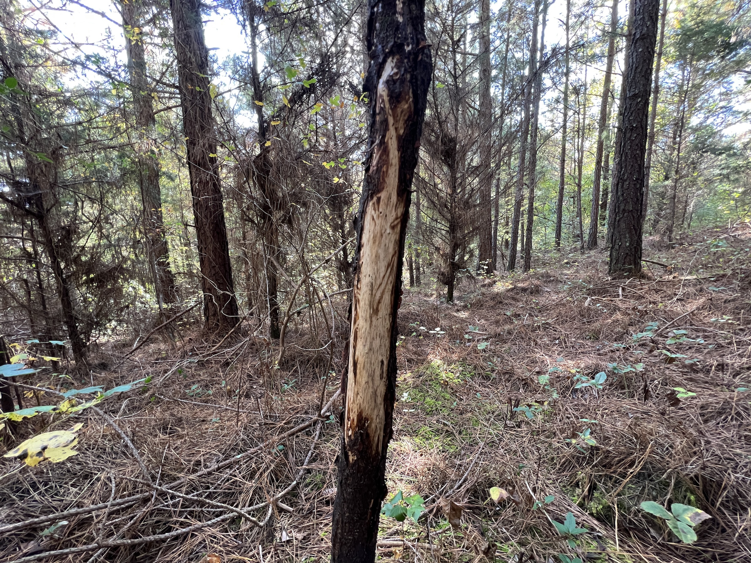
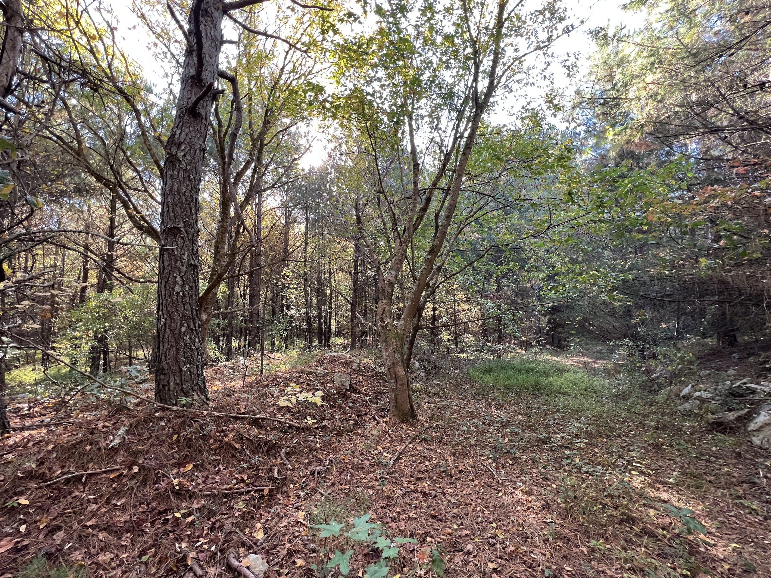
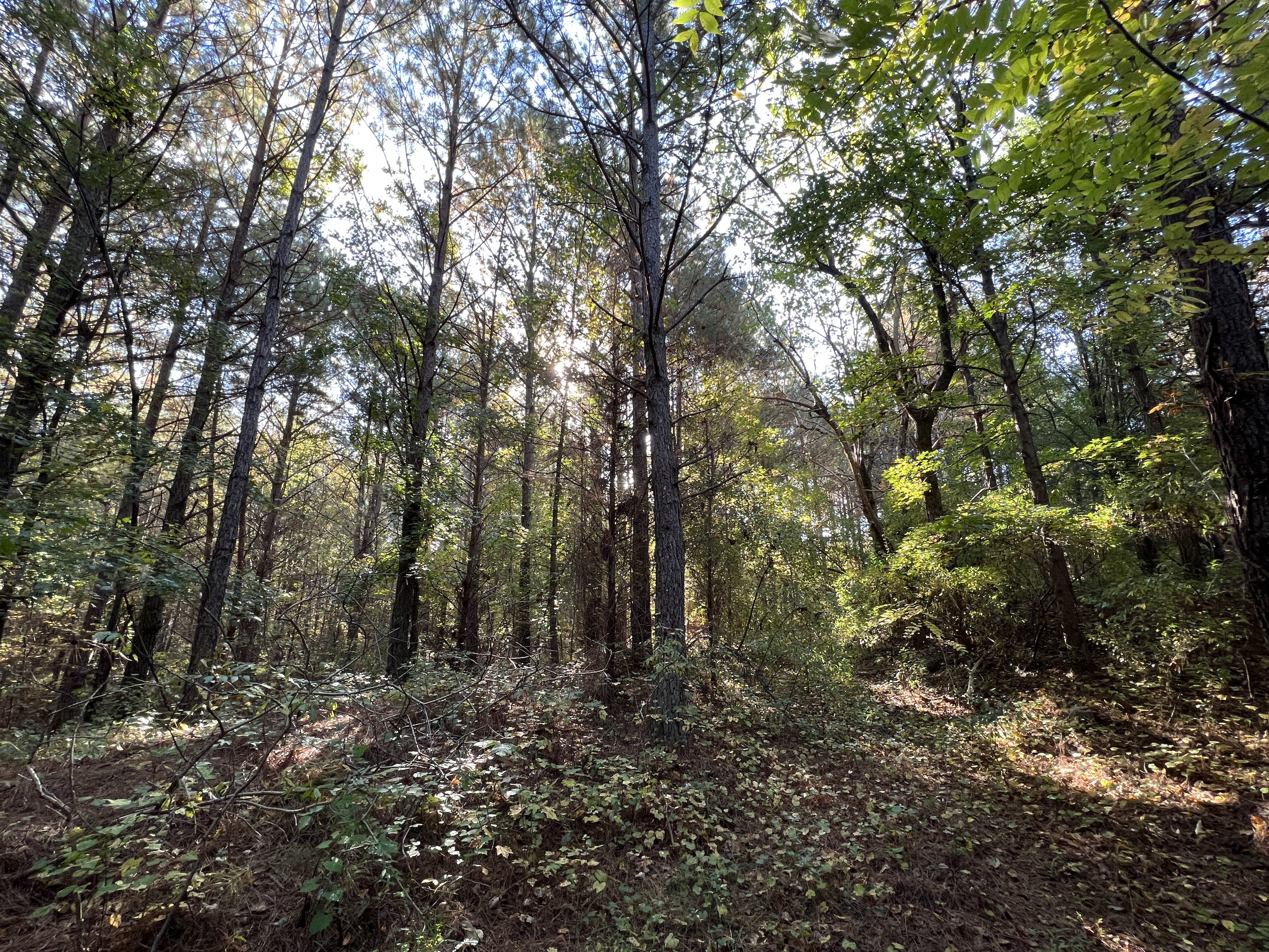
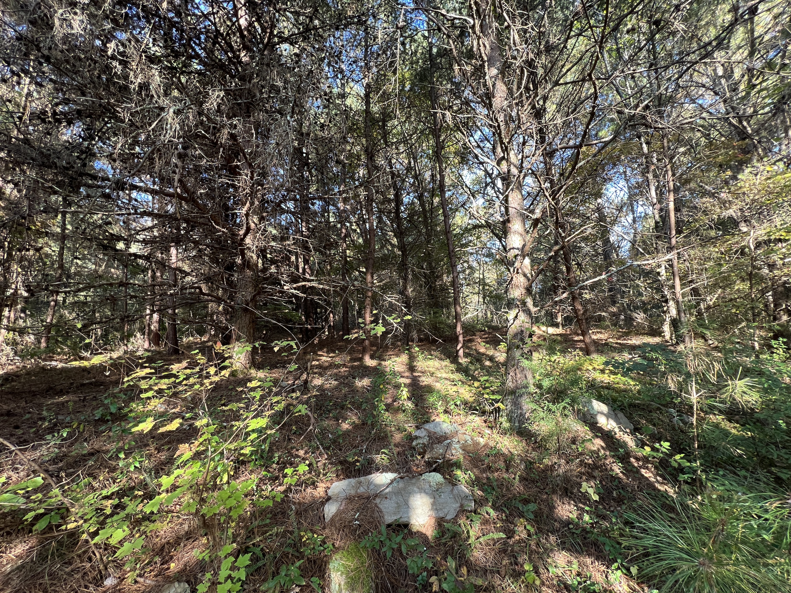
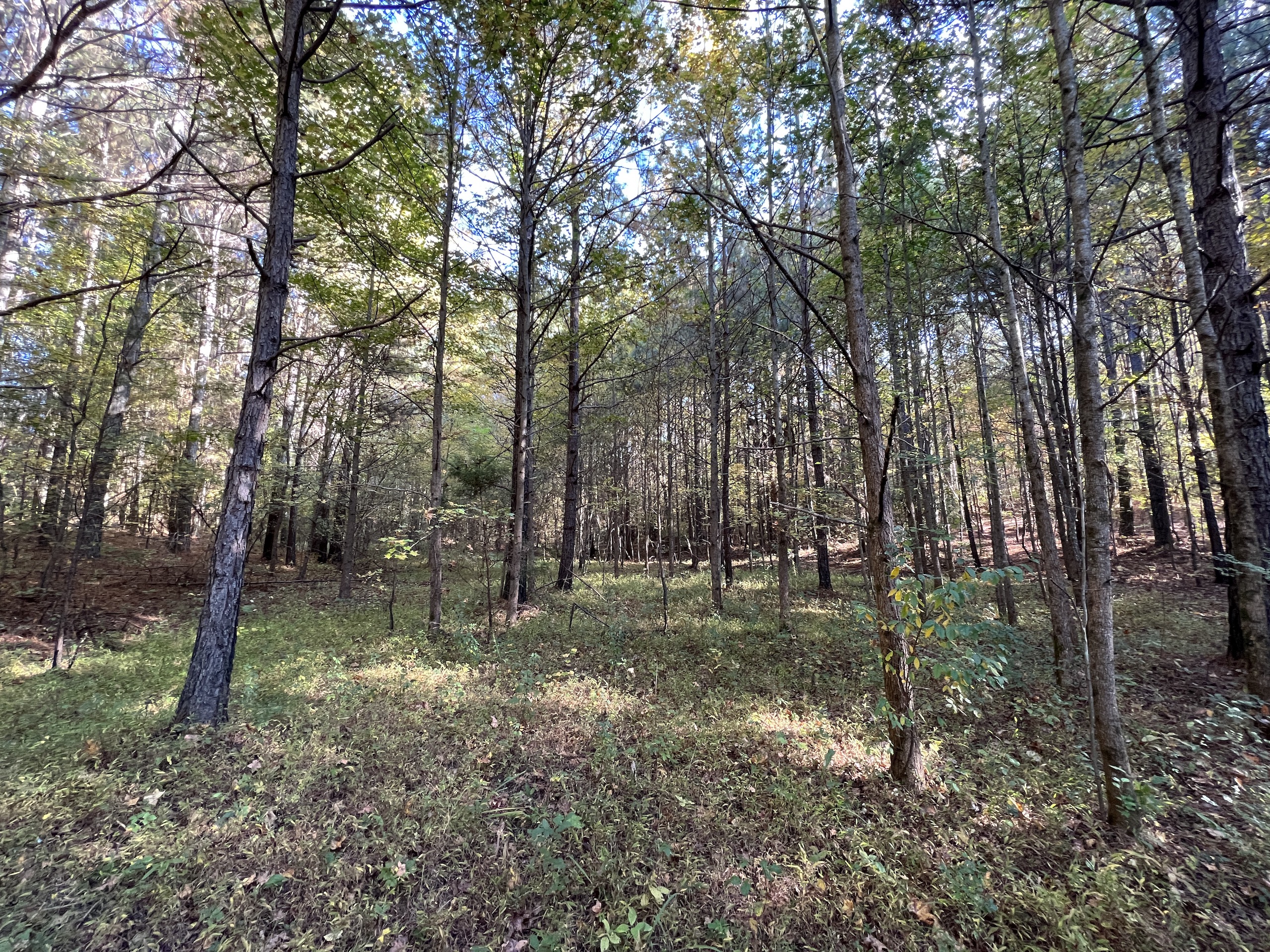
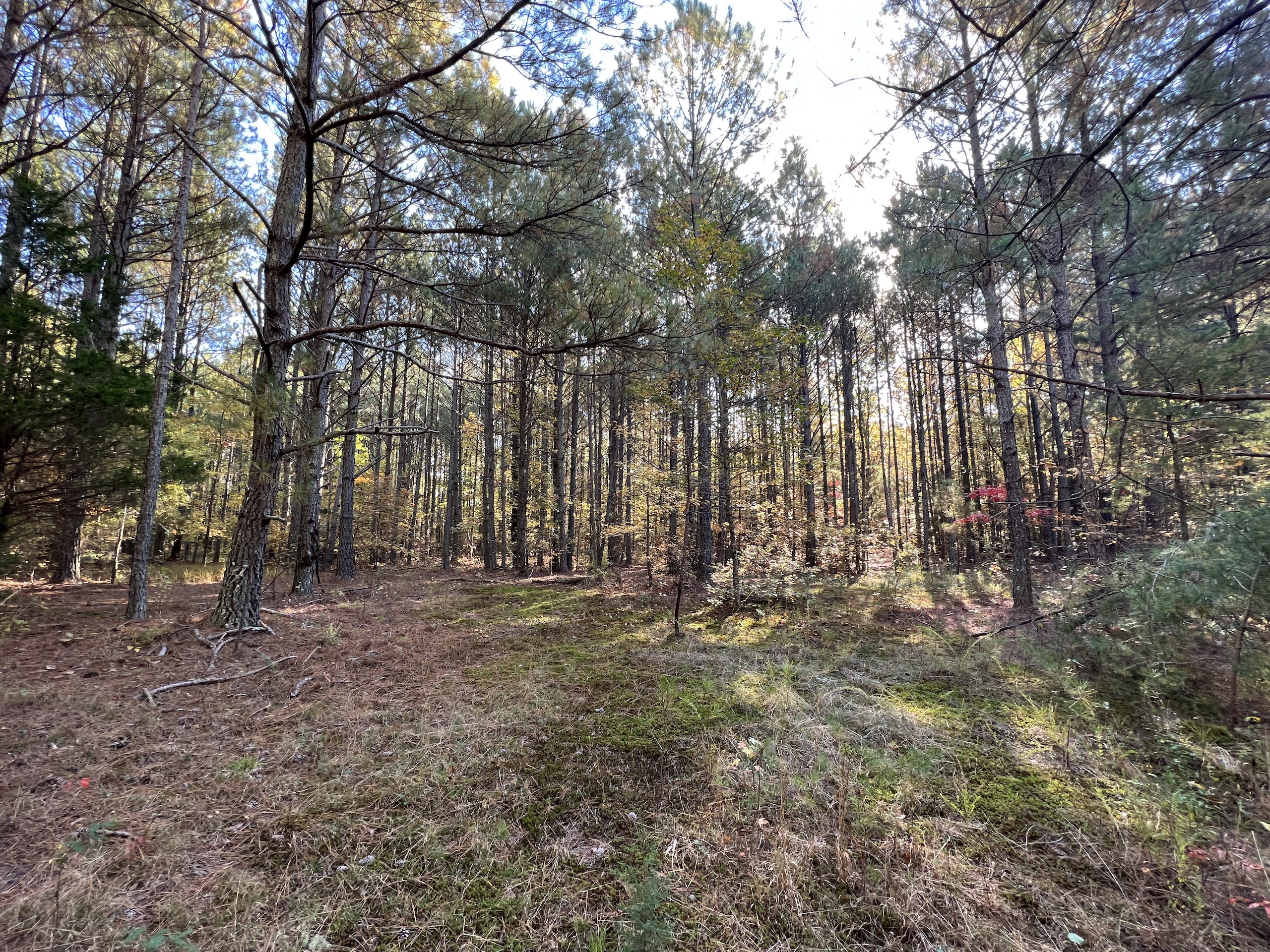
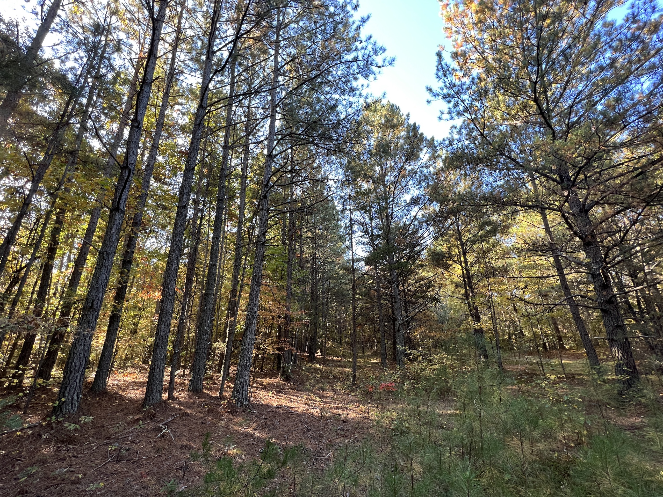
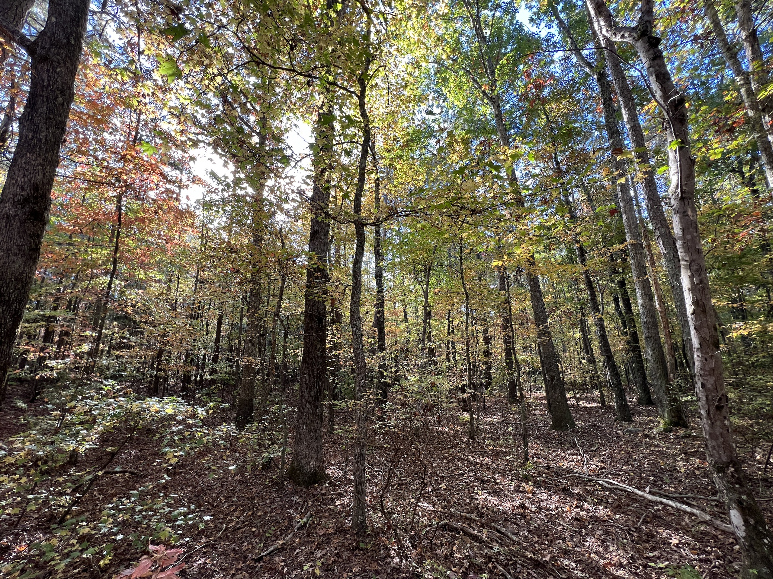
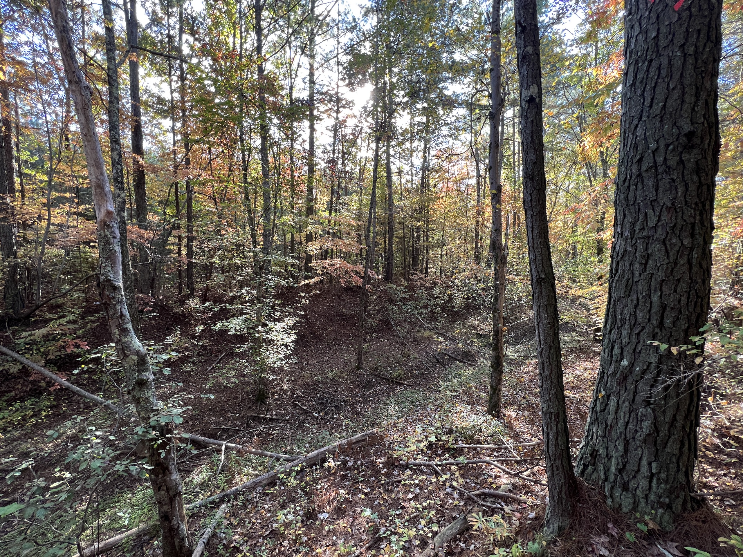
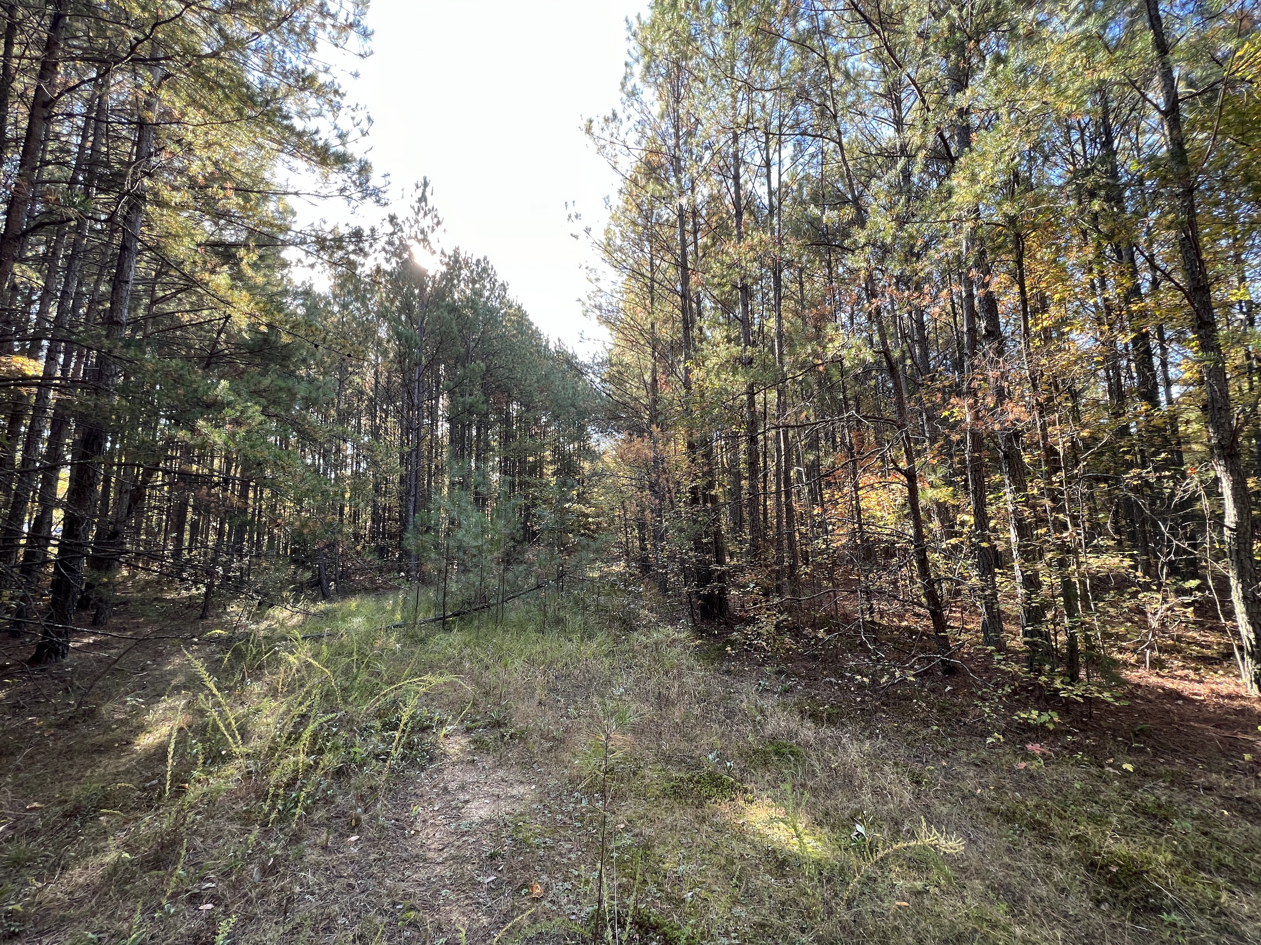
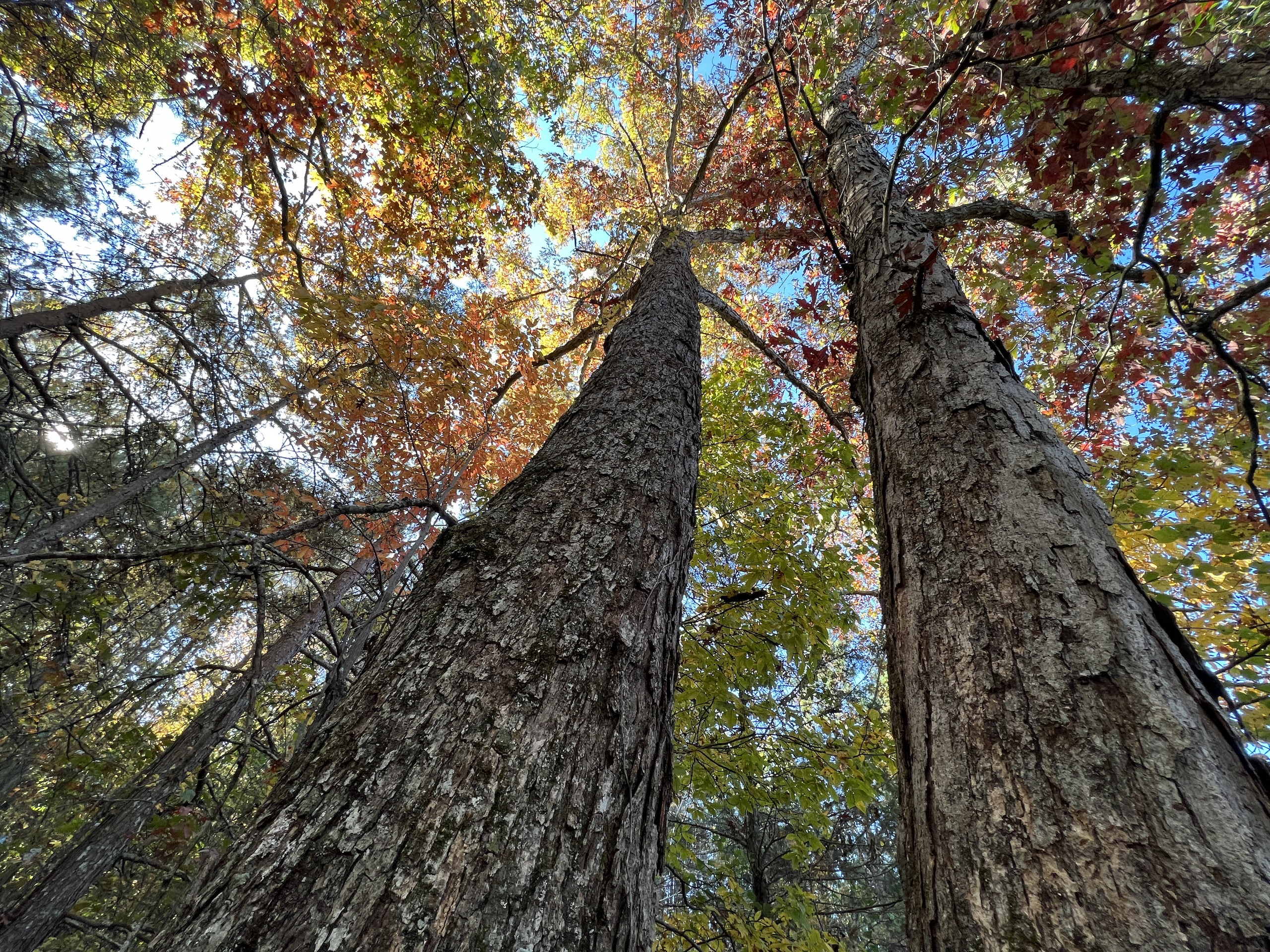
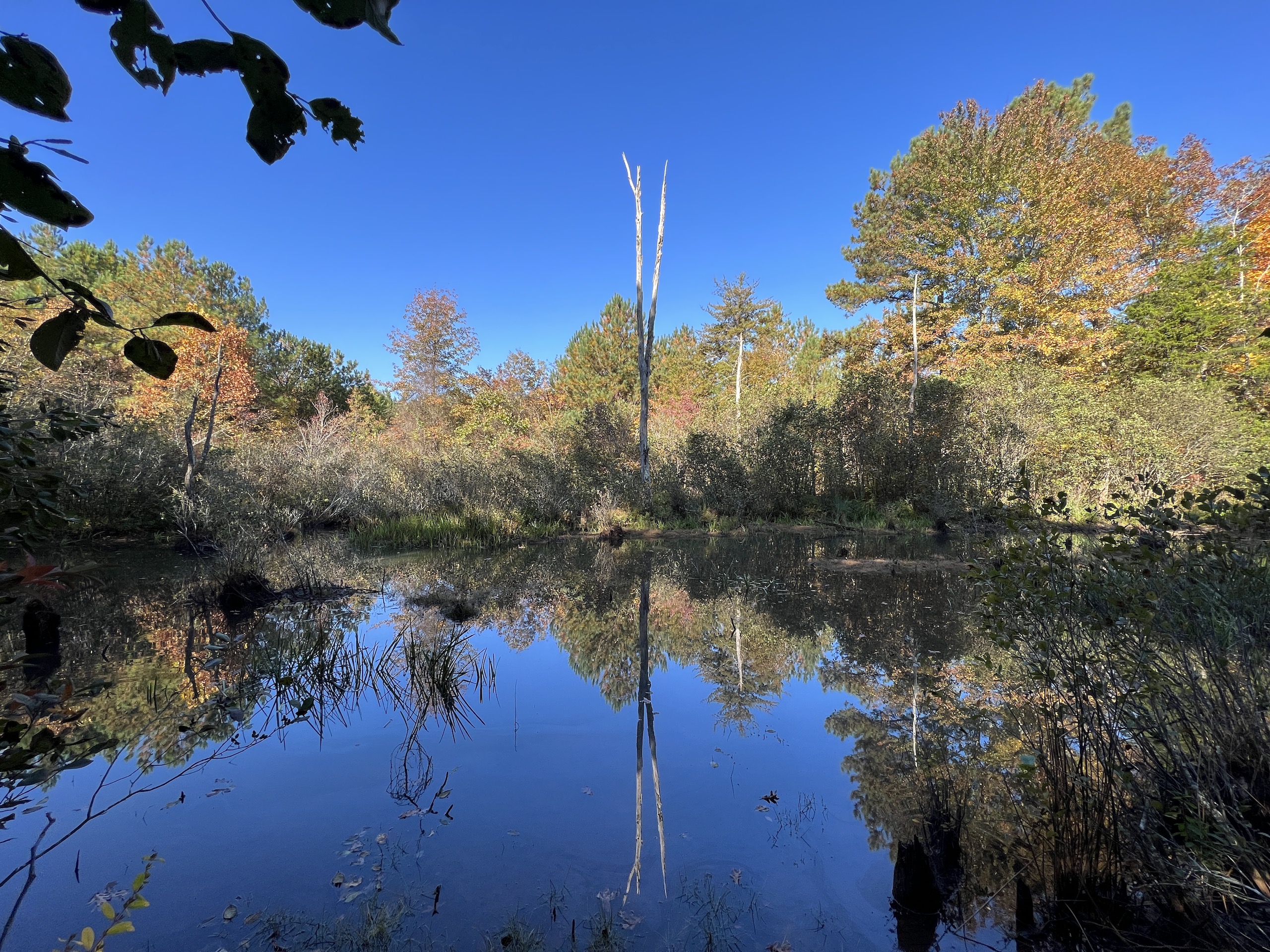
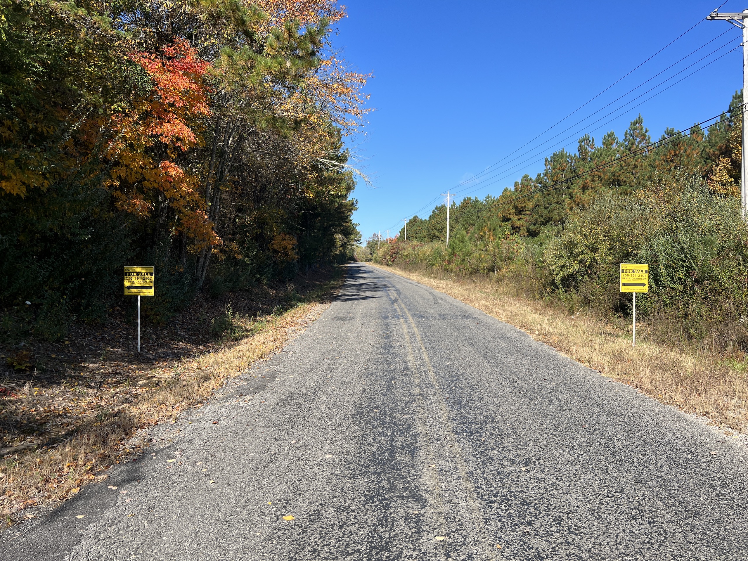
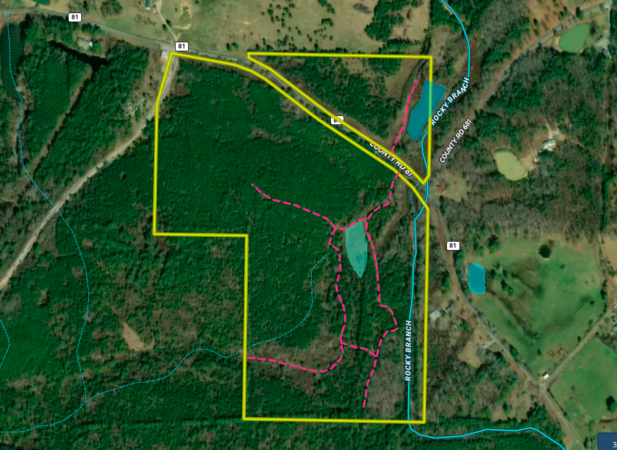
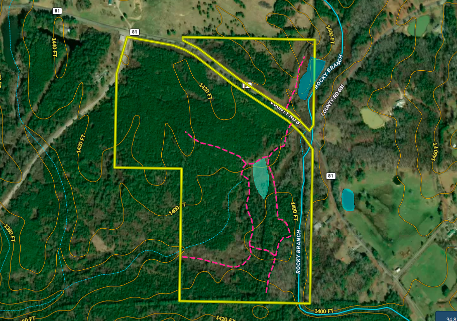
Located on the top of Sand Mt. near the town of Flat Rock, this tract has a variety of features that make it have the potential for an excellent hunting, timber and investment property. It is accessed from Co Rd. 81, a paved county road, with approximately 15+/- AC on the north side of the road and 83 +/- AC on the south side. There is a pond that is about 1.25+/- AC on the north side that is a pretty area and would have excellent house/cabin potential overlooking the pond. Most of the land is very flat, with just a slight gentle roll. The timber is primarily middle-aged pines that are ready for thinning. There are also pockets of hardwoods, creating a variety of habitats. A small wetland and a stream/branch run along the east side, providing additional resources for wildlife and natural beauty. A UTV trail system gains you access throughout the property. There are potential homesites and plenty of road frontage. If you are looking to go in with someone or family members looking to split up a tract, this would have potential with all the road frontage. A lot of this land was strip-mined decades ago, but the reclaimed process has it looking good and growing timber. This size piece of land is a rare find in this county, which is known for big deer and its beautiful ridges and valleys. Please contact Ben Richardson, the listing agent, for a private showing and more details.
Summary
Address
Land Type
Property Type
Land and Farm Property Types
Road Frontage
Road Surface
Land Details
Improvements/Features
Details
- Pond
- Paved road access
- UTV trail system
- Small stream
- Middle aged pine timber
- Flat to gently rolling topography
- Small wetland
- Homesite/cabin site potential
Other
Coordinates
Annual Taxes
Sold Property
For more information or to see additional properties currently for sale see Ben Richardson's listings.