Garfield County
160± Acre Government Creek Overlook
TBD County 13, Lot#WP001 Rifle, CO 81650
Media


Description
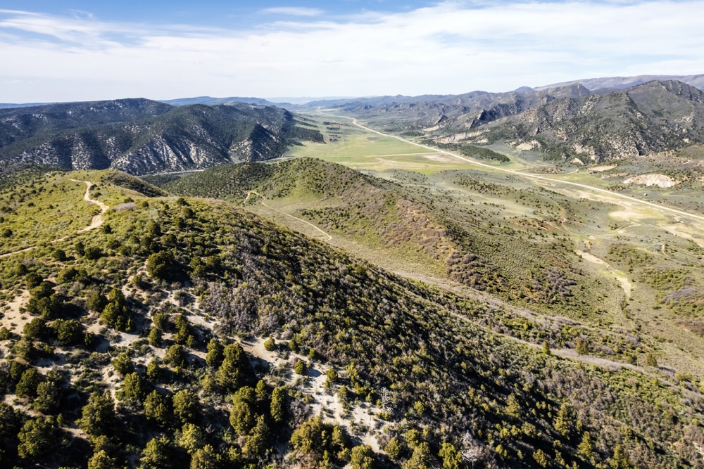
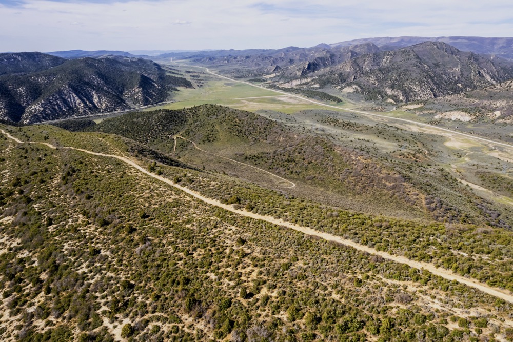
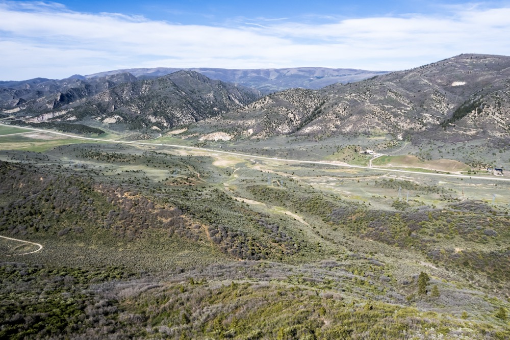
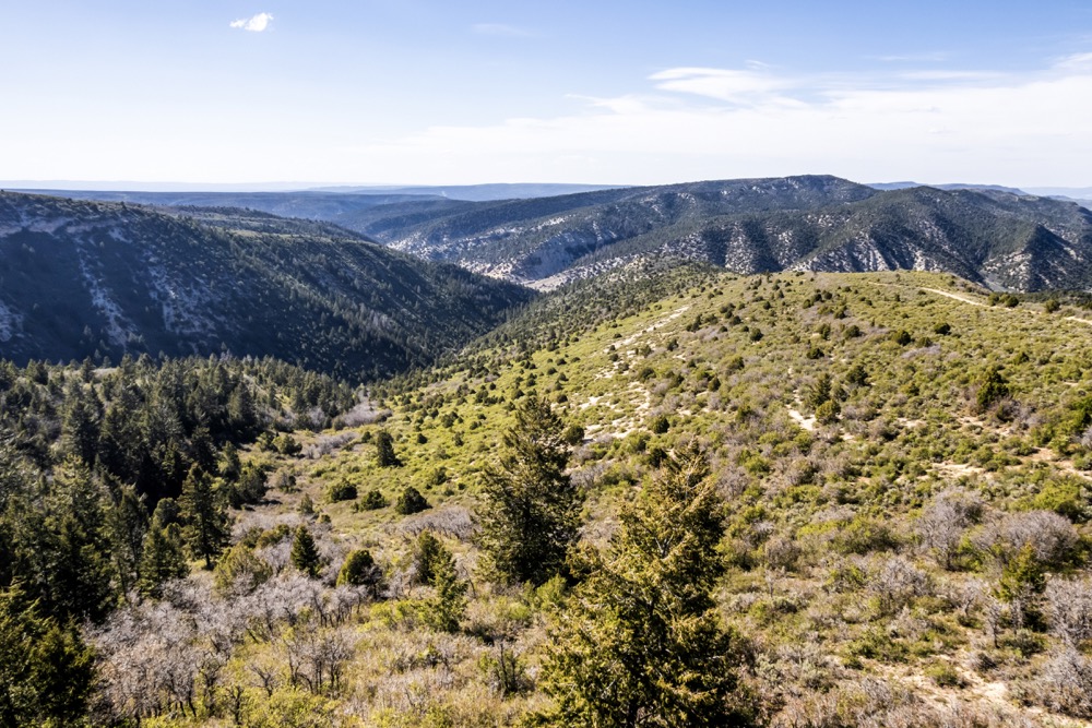
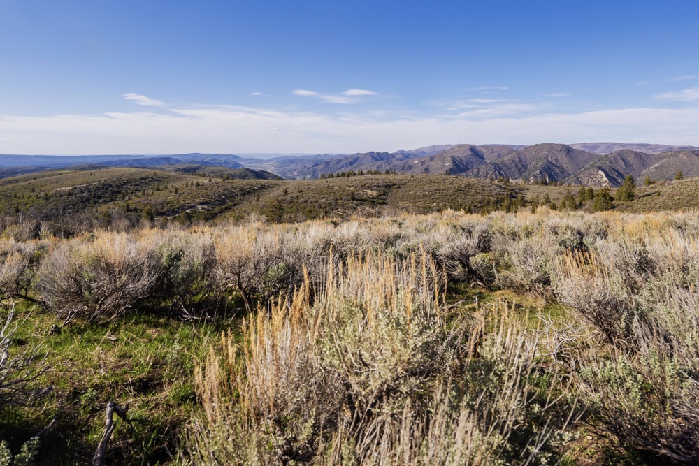
Located along Highway 13 between Meeker and Rifle, this diverse recreational and hunting property offers direct access to tens of thousands of acres of public Bureau of Land Management ground to the west. The acreage lies within Colorado GMUs 22 and 32, both known for strong elk, mule deer, bear, and turkey hunting, and it falls within eligibility areas for the Landowner Preference Program, subject to state guidelines. Elk licenses for the area are available over the counter in designated seasons, making future hunts attainable without a draw system in many cases.
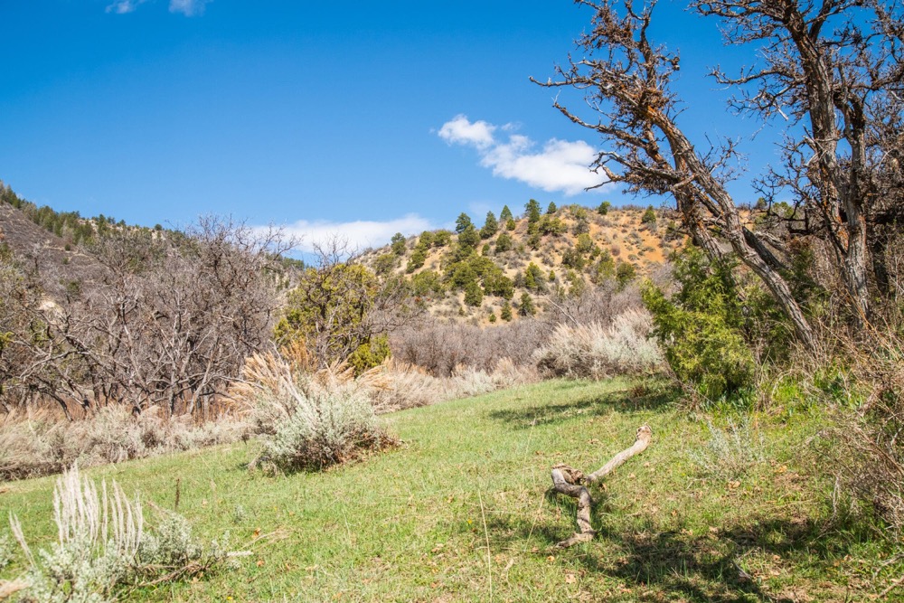
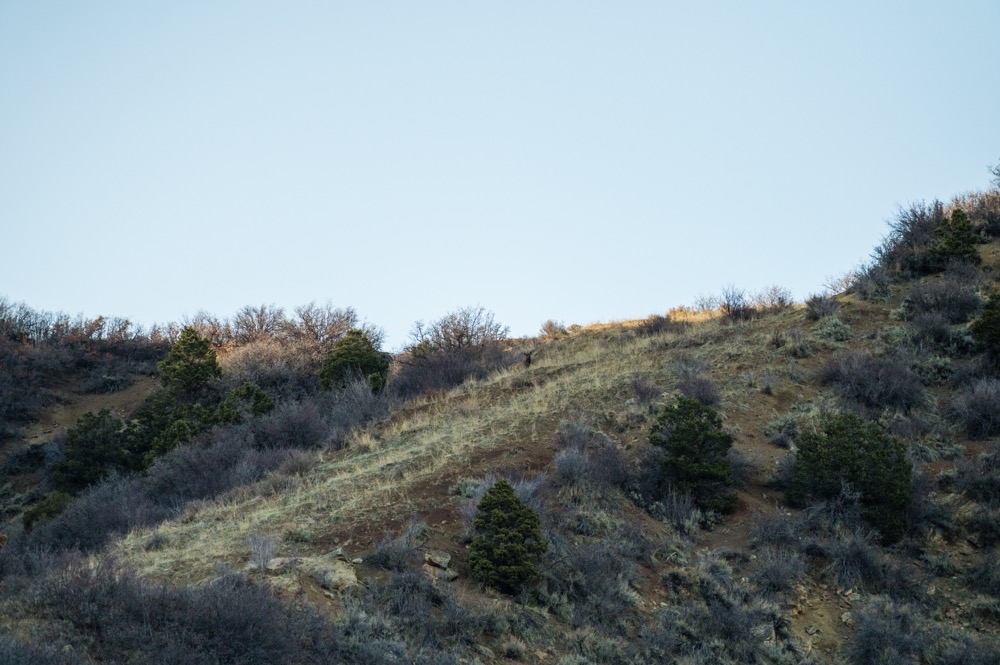
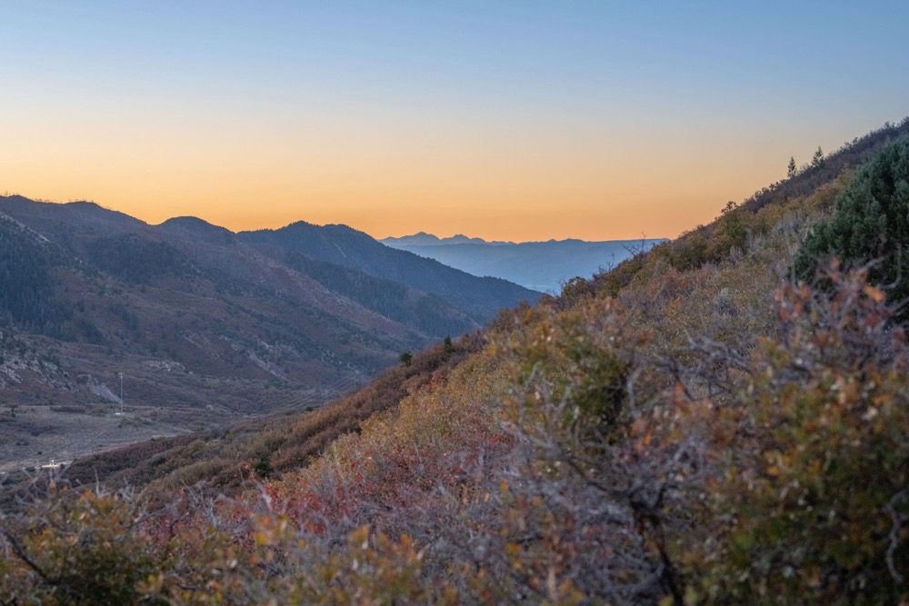
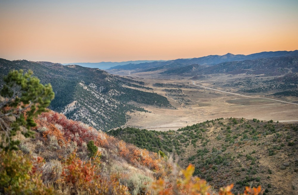
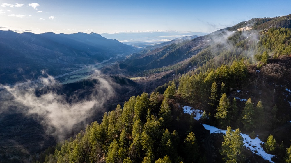
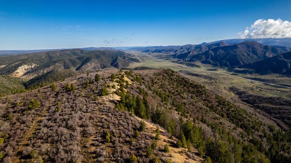
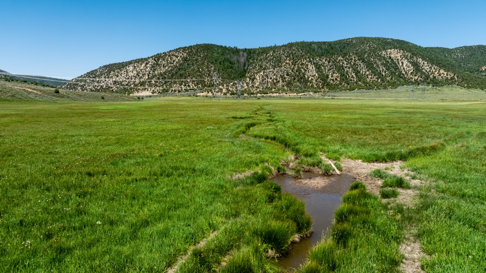
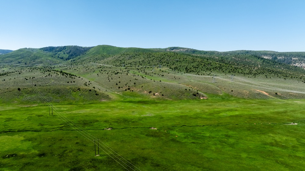
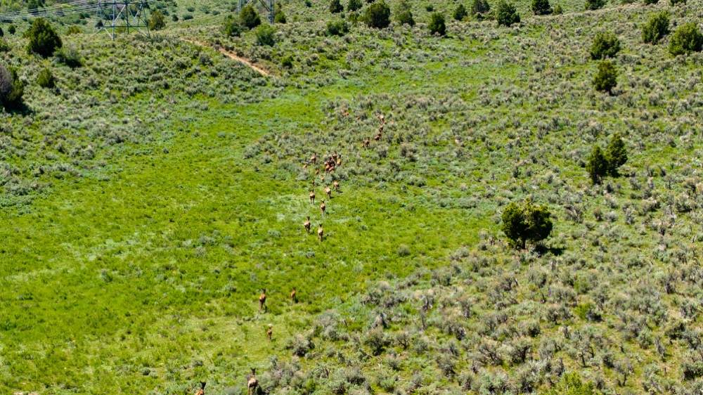
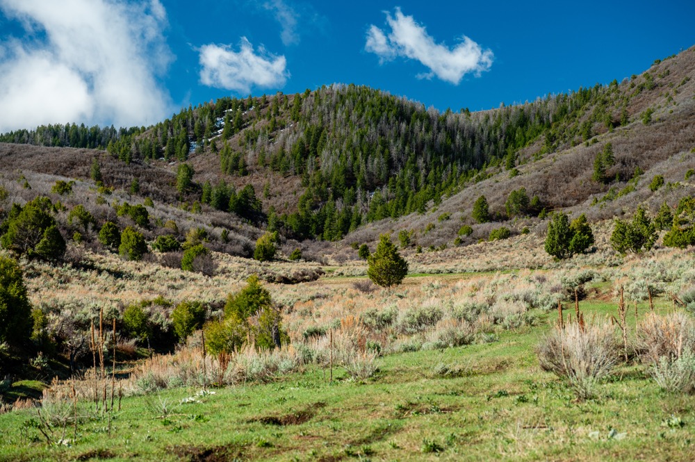
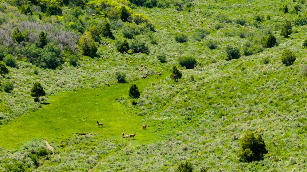
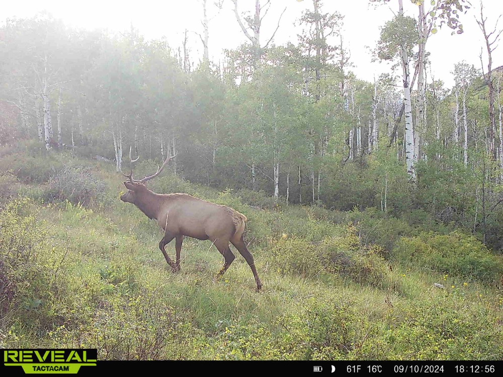
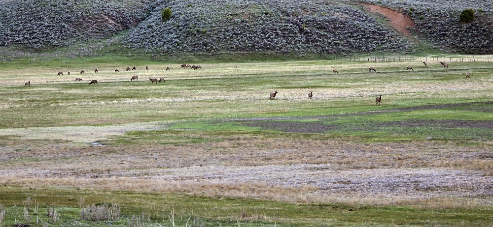
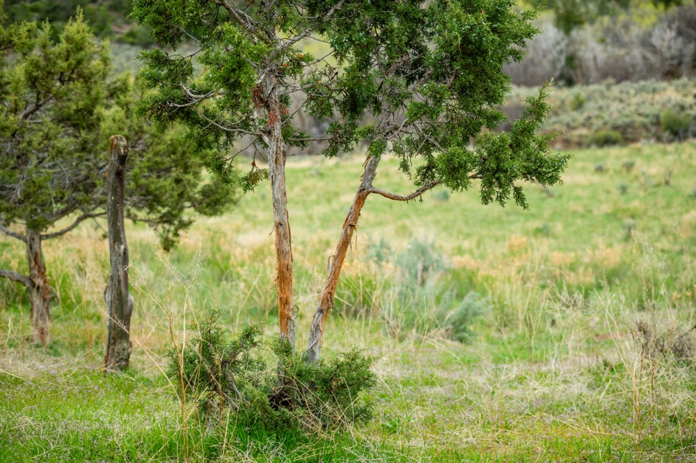
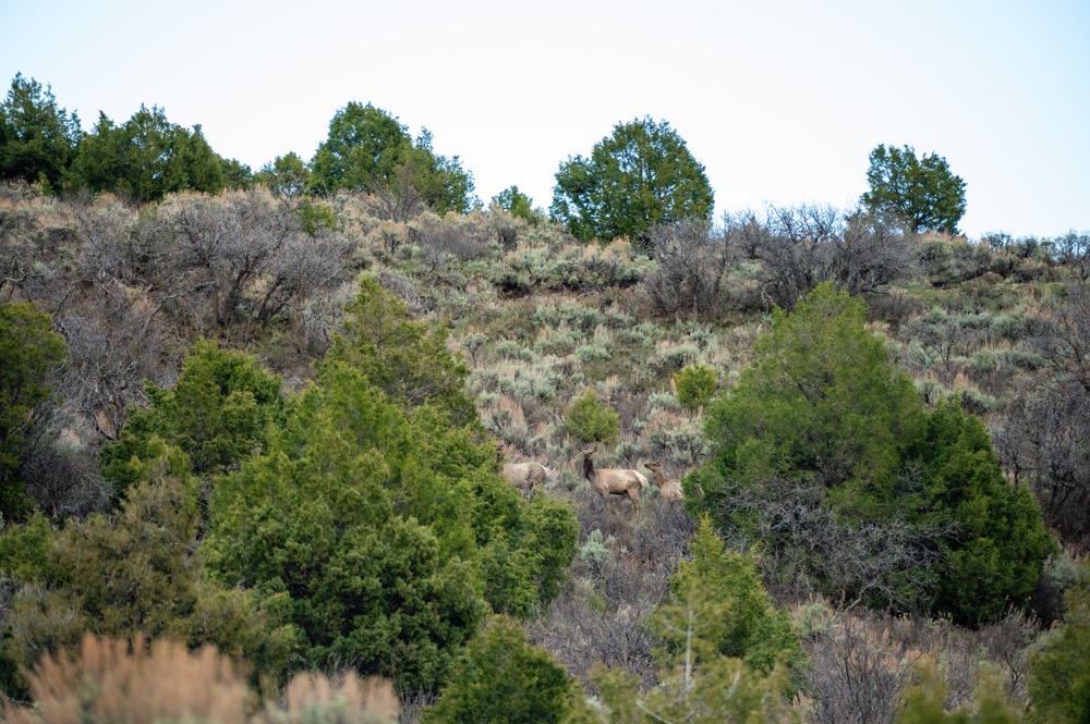
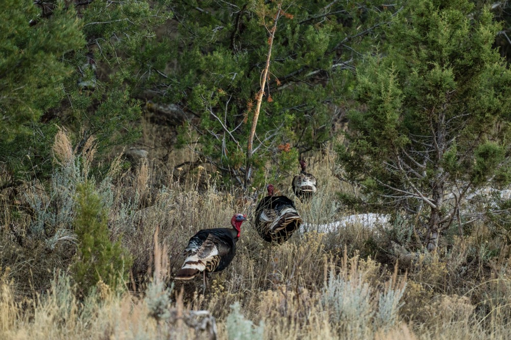
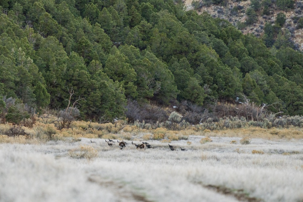
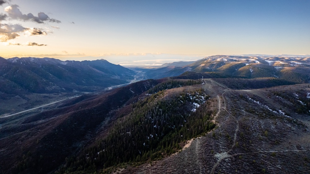
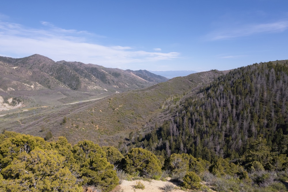
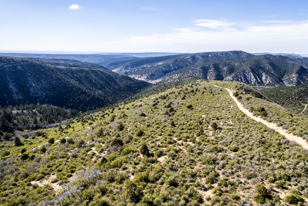
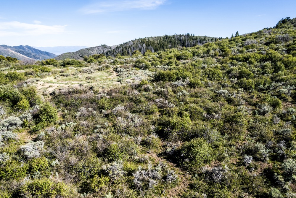
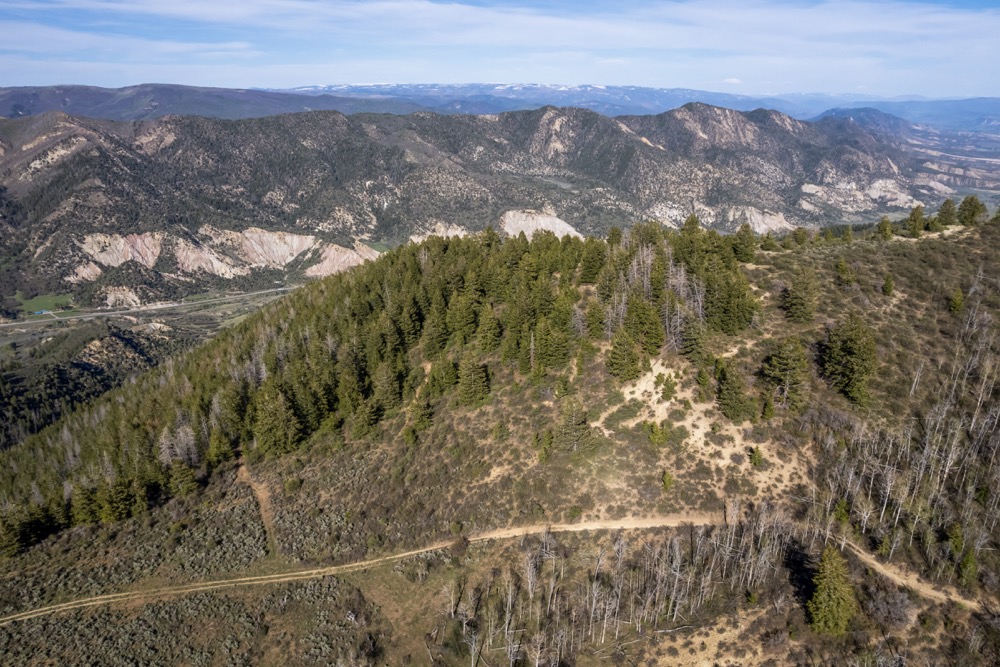
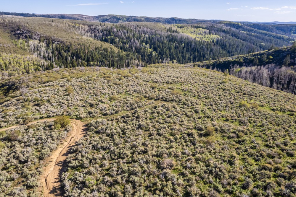
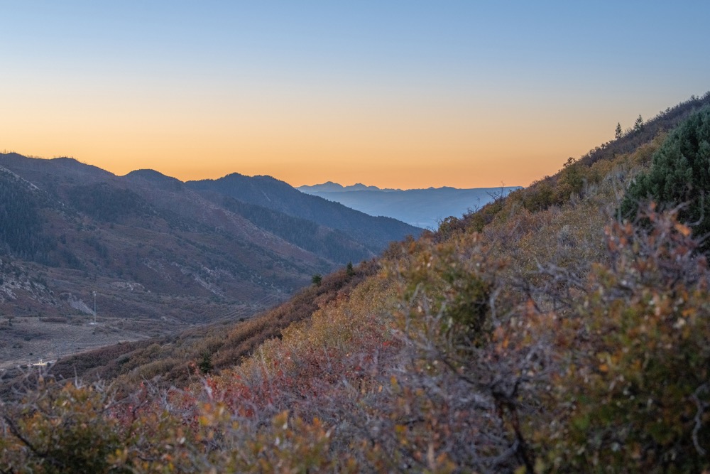
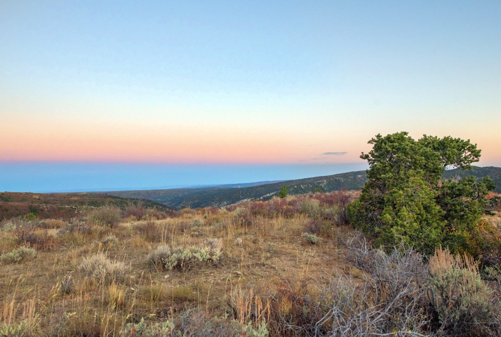
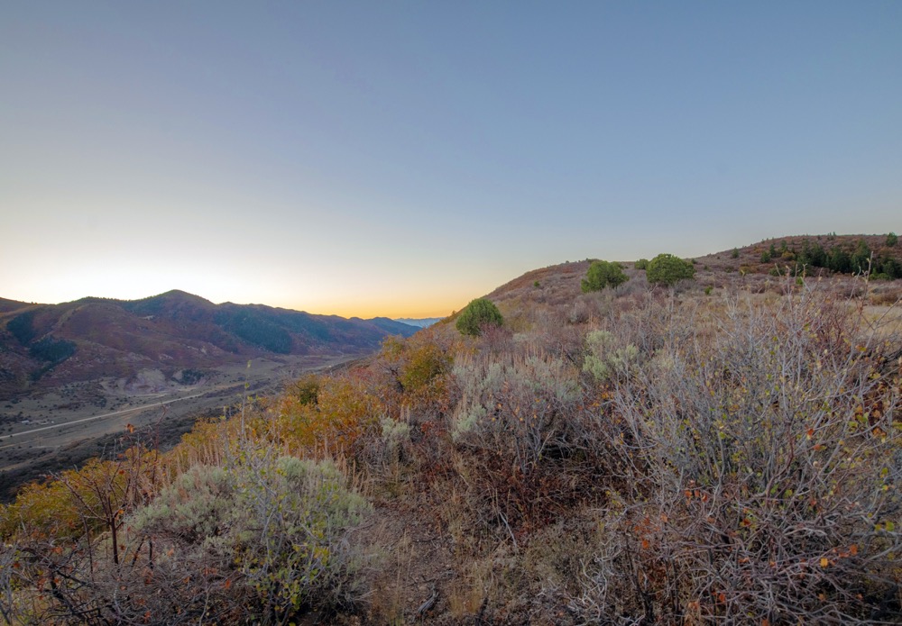
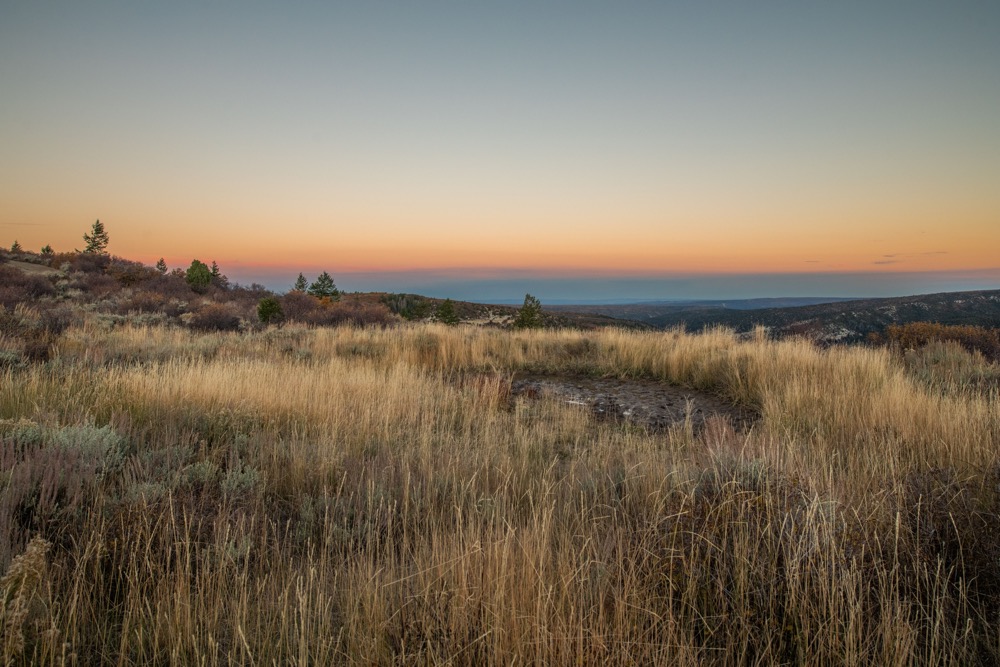
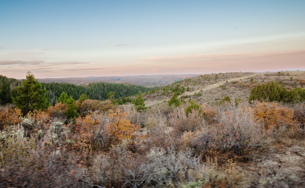
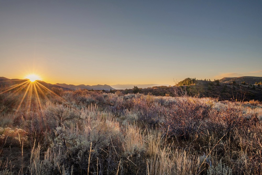
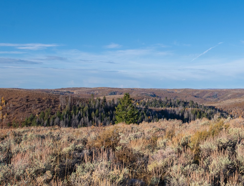
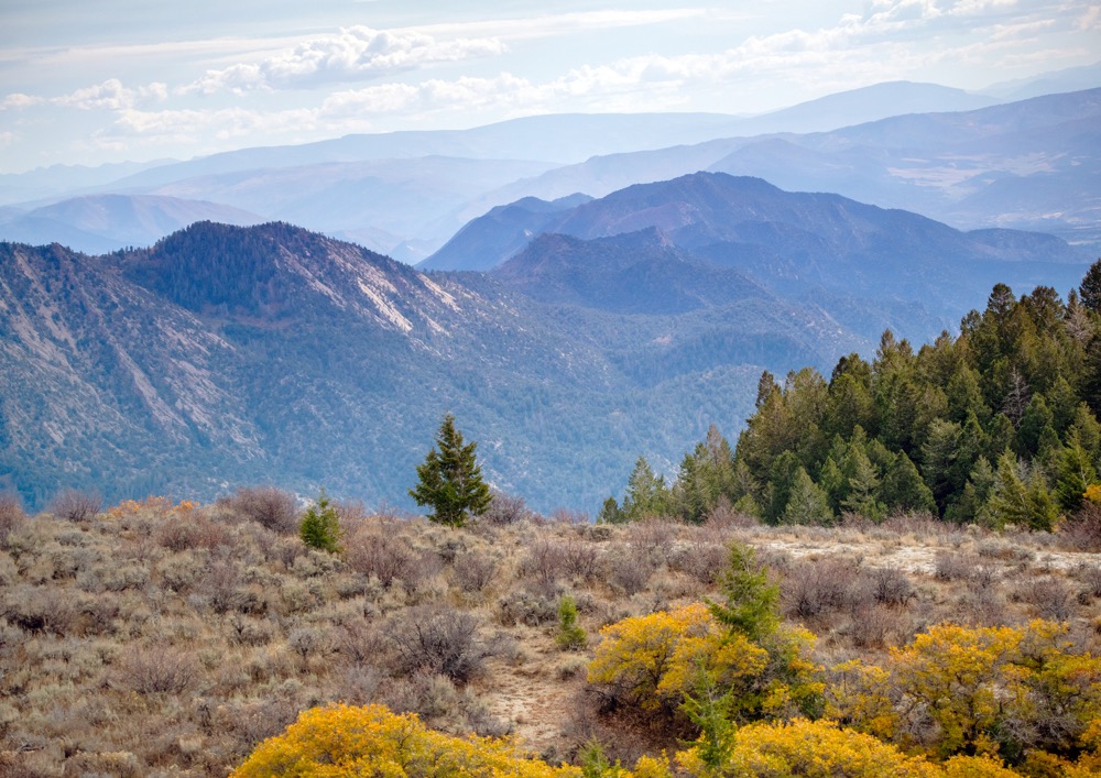
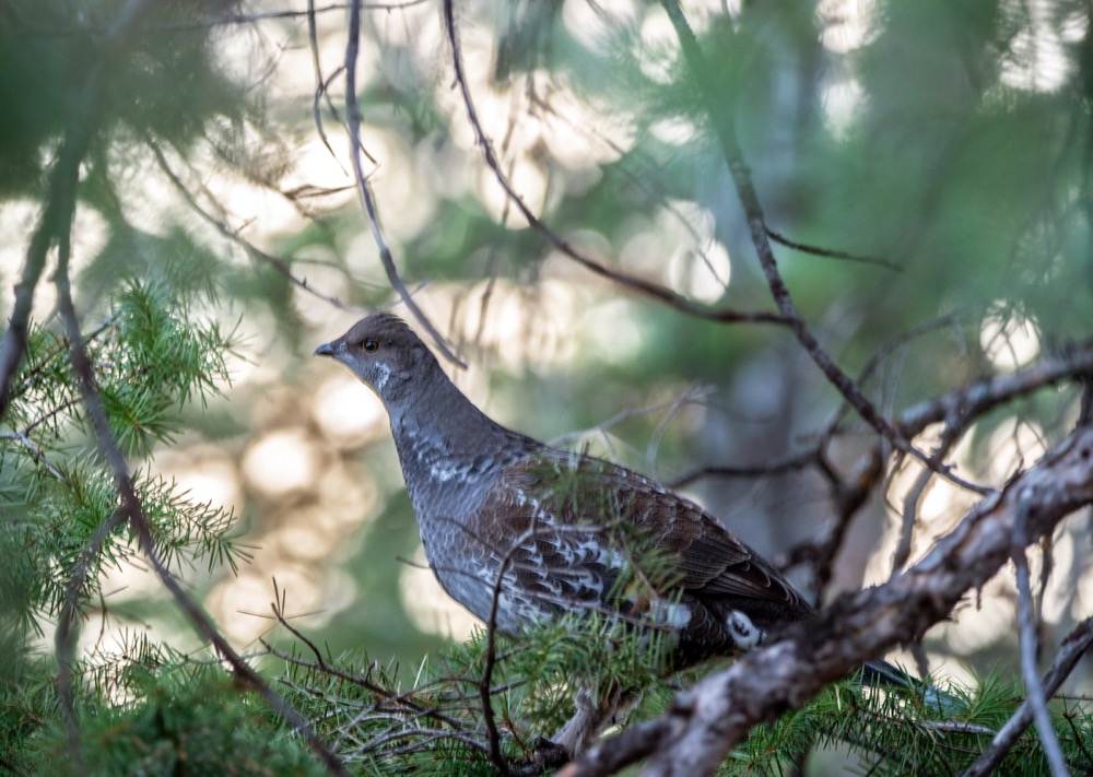
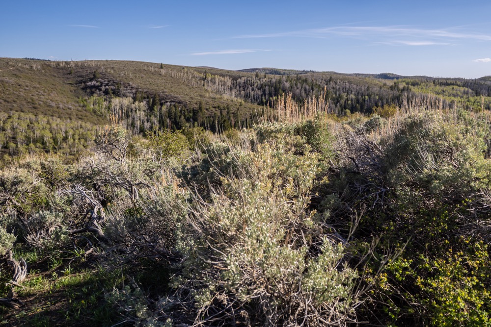
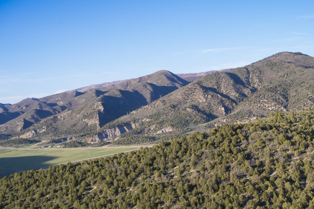
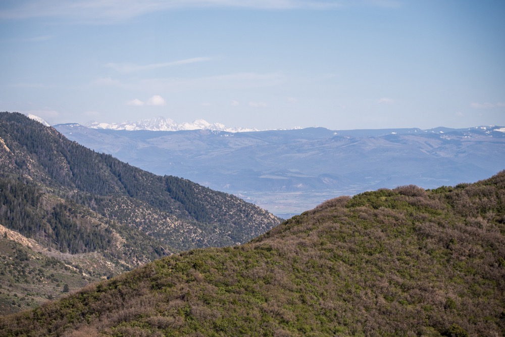
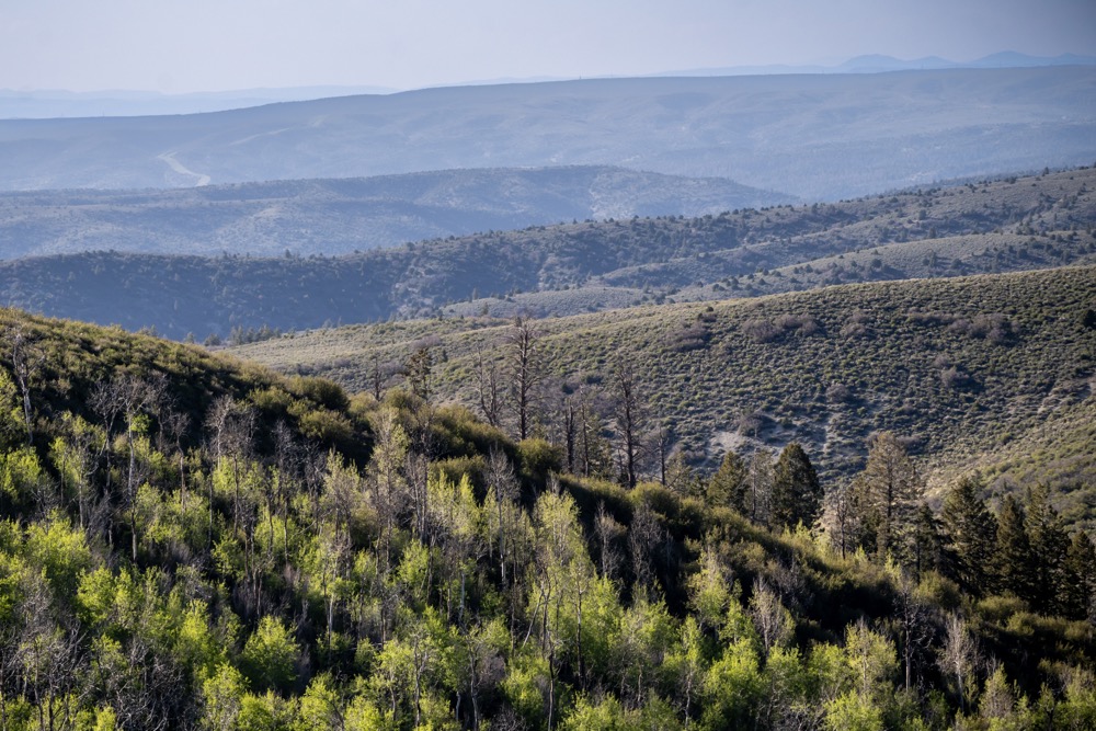
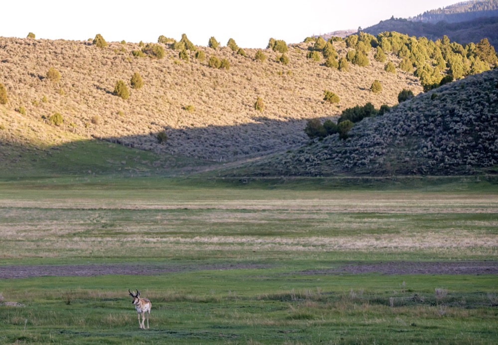
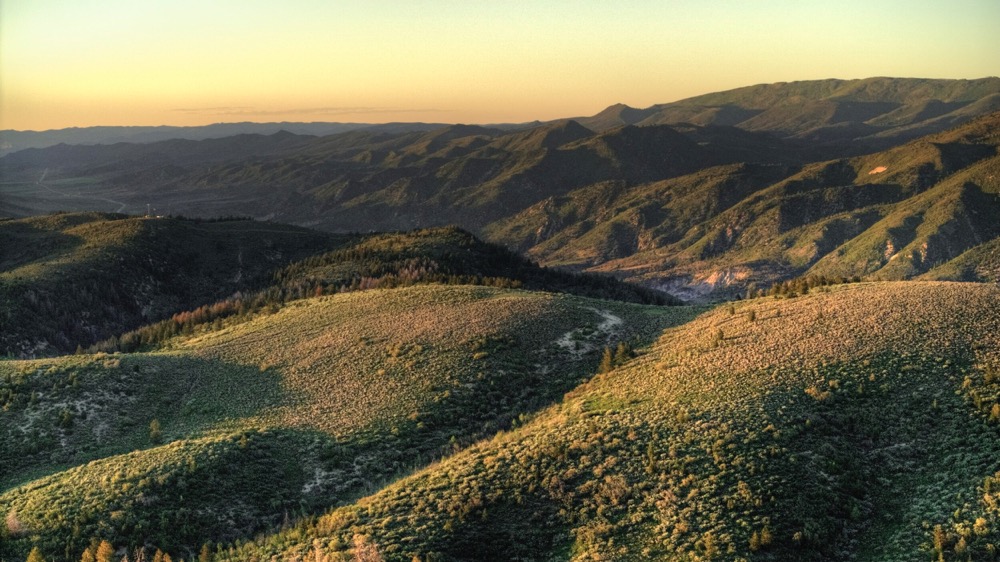
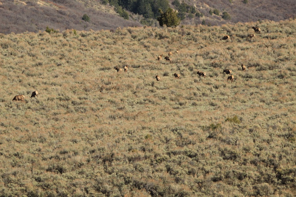
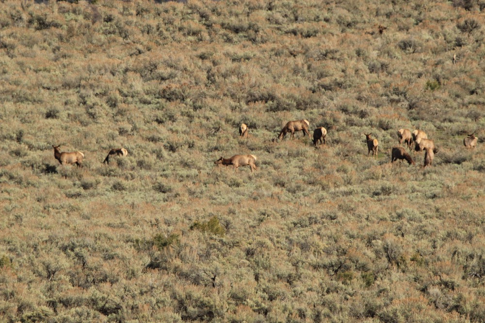
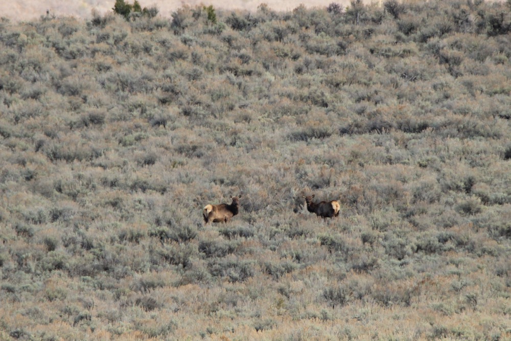
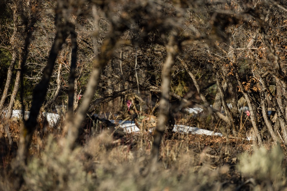
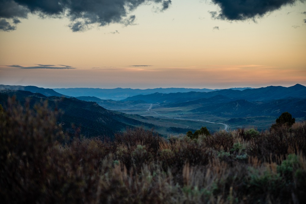
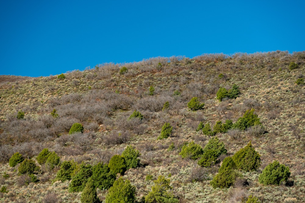
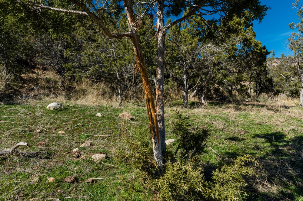
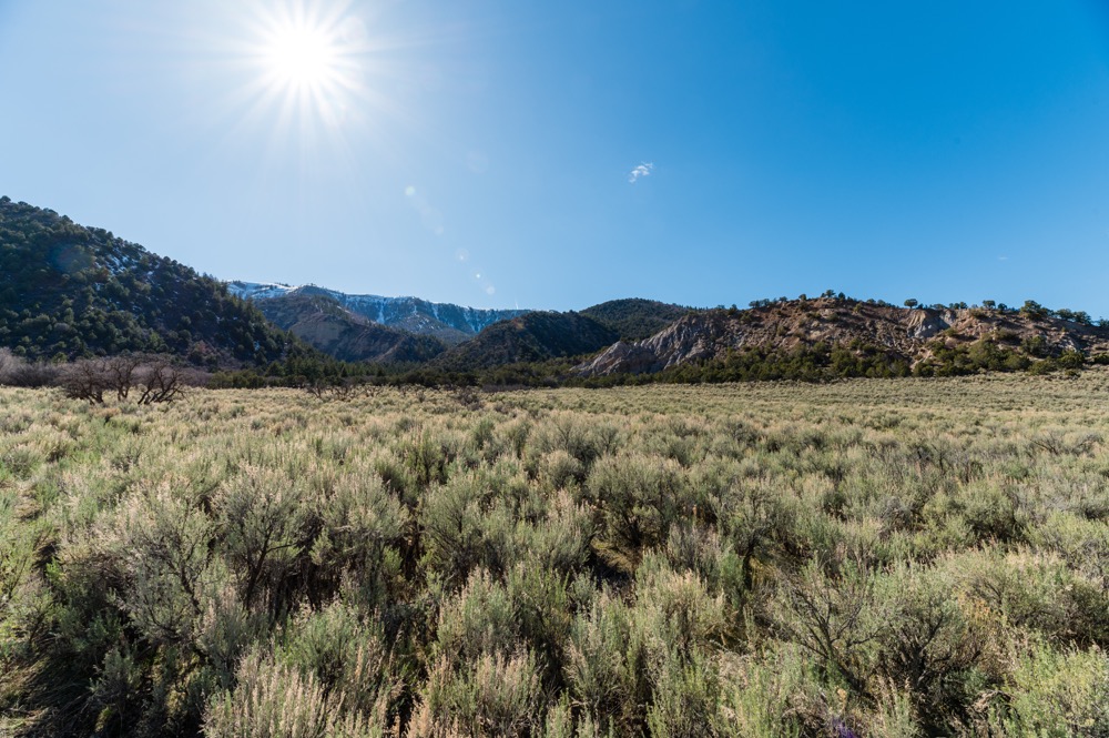
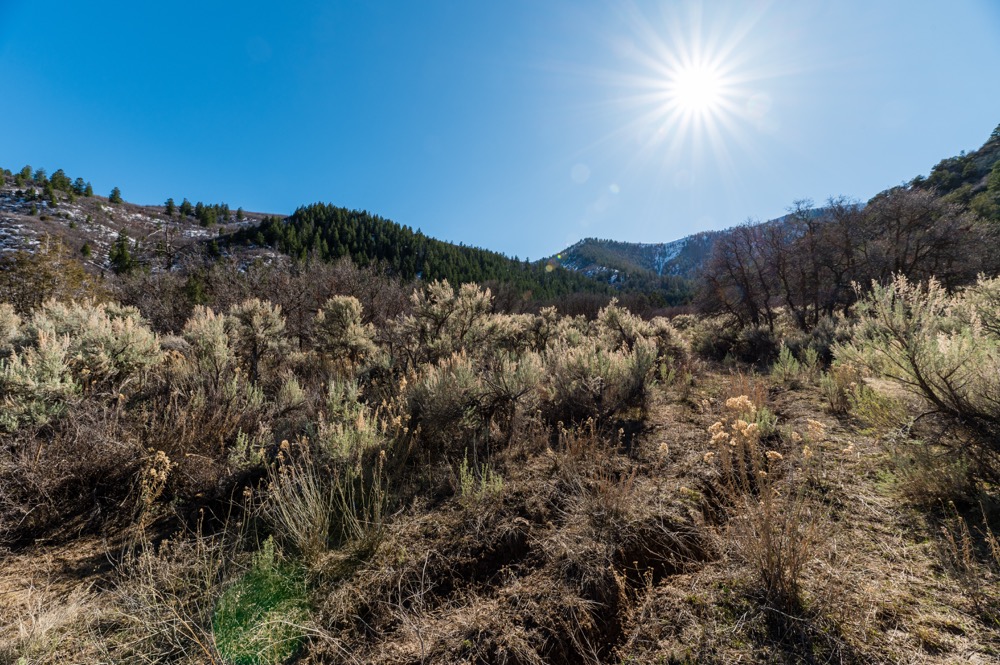
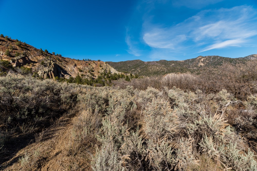
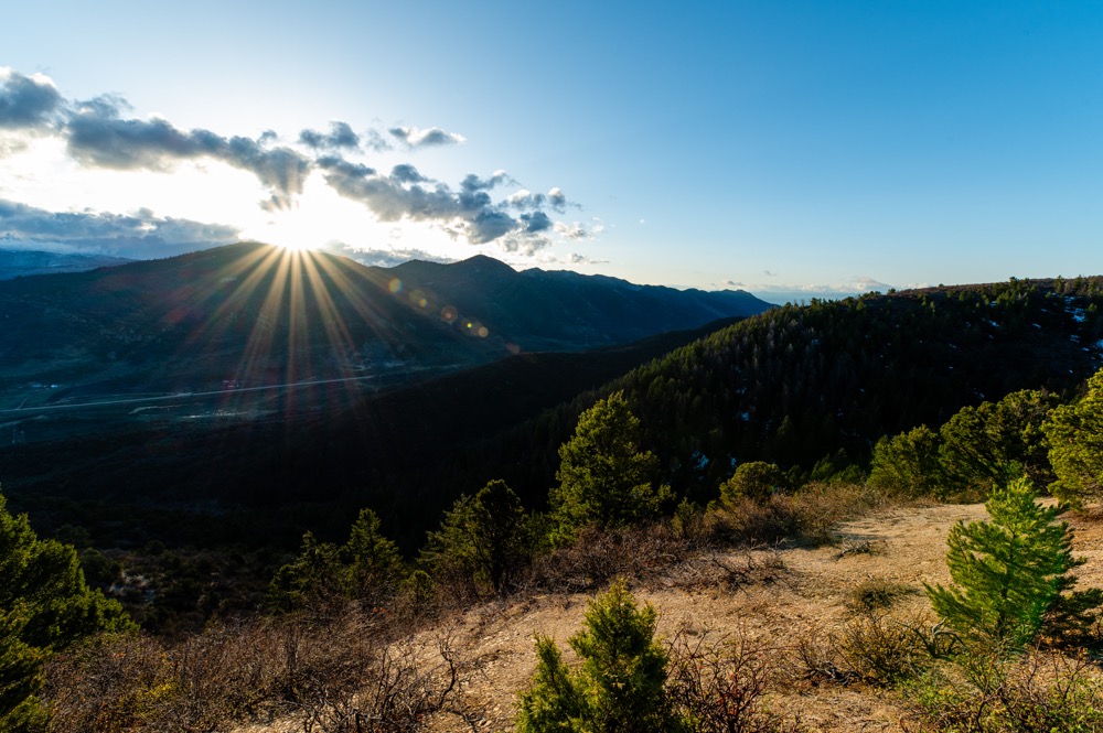
The property features rolling terrain with oak brush, piñon, and ponderosa pine transitioning toward heavier timber and aspen stands on adjacent public lands. Seasonal ponds and wallows contribute to wildlife use across the parcel. Wildlife observed and commonly known within this landscape includes mule deer, elk, bear, mountain lion, turkey, and small game. The ranch lies at approximately 7,500 feet in elevation, offering expansive views of the surrounding ranges and valleys.
Access is convenient with frontage along Highway 13, providing reliable year-round entry and connection to nearby amenities. The towns of Meeker and Rifle offer supplies and services within driving distance, while Grand Junction and Eagle airports serve as the closest flight hubs. Interstate 70 can be reached via Rifle, offering additional access to regional and front range destinations. Power runs along the highway corridor, offering the potential for service to a future residence or recreational structure. A water well may be researched for development, and several open areas offer possible building or camping locations.
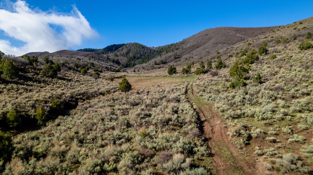
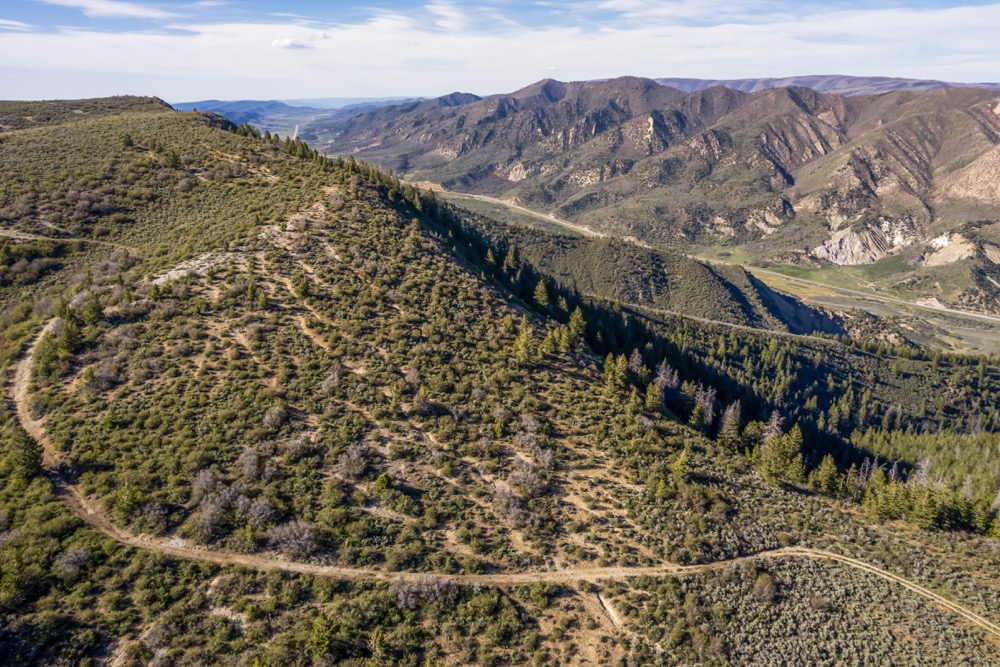
A basic UTV/ATV trail system runs from the north to south ends, providing easy access to the interior. Most of the vegetation consists of oak brush and piñon with a myriad of meadows and small clearings throughout. Thick timber transitioning into nearby public land supports wildlife bedding and summer range habitat. The property was not affected in the 2025 fires that impacted portions of the area, and increased numbers of wildlife were immediately apparent afterwards.
Outdoor enthusiasts will appreciate the close connection to public land, where expansive elk and mule deer ranges extend westward. The proximity to Meeker and Rifle allows access to fuel, supplies, hardware, and lodging. The land offers opportunities for hunting, camping, hiking, and cabin/home development, subject to county requirements.
Any and all mineral rights owned by the seller will convey with the property. Property boundaries shown in imagery are approximate and should be verified by a survey. While some imagery used for marketing reflects the immediate surroundings and neighboring BLM scenery, not all photos depict the interior portion of the parcel itself.
This acreage offers a combination of access, views, hunting opportunity, and building potential in one of northwest Colorado’s most recognized wildlife regions.
Summary
Address
Approximate Distances
Property
Improvements/Features
Small Game, Big Game, Predators, Creek/Spring, Trail Network, Internal Road System, Gated Entrance, Seller's Mineral Rights Convey
Details
- Highway 13 access between Meeker and Rifle
- Borders large BLM acreage to the west
- Located in GMUs 22 and 32 with over the counter elk options
- Seasonal ponds and wildlife wallows
- Trail system providing north to south access
- Oak brush, piñon, ponderosa pine, and nearby aspen stands
- Power located along the highway
- Was not affected by the 2025 fires
- Mineral rights owned by seller to convey
- Close to Grand Junction and Eagle airports and Interstate 70
- Additional adjacent and nearby acreage also available for purchase Boundary Lines are approximate
- Neighboring water well depths ranging from 100-280 feet deep
Area Links
Other
Coordinates
Annual Taxes

Nearby Related Properties
Stay Connected
Be Part of a Thriving Land Community!
Get the same expert advice, property strategies, and land management tips that thousands of landowners trust. Subscribe now and stay ahead in the market.