Knox County
37± Acres In Knox County, Maine
M7L31Nelson Ridge Road North Washington, ME 04574
Media
Description
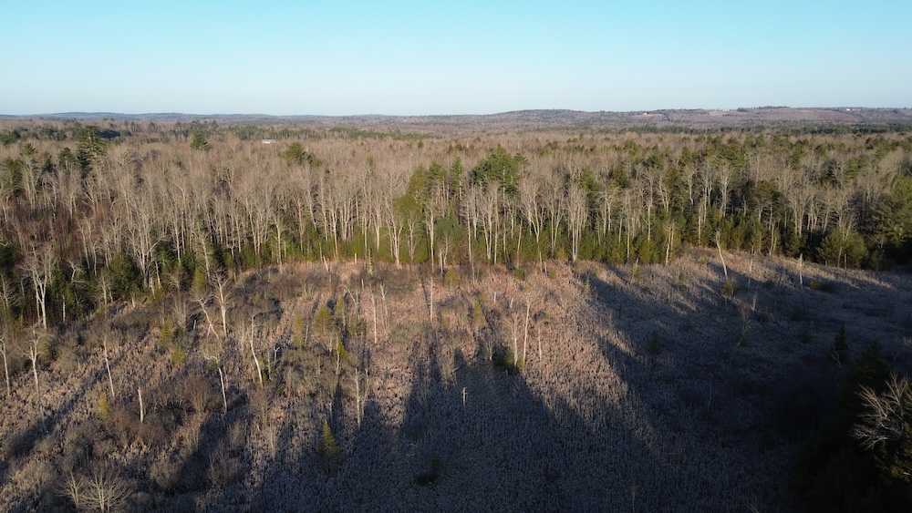
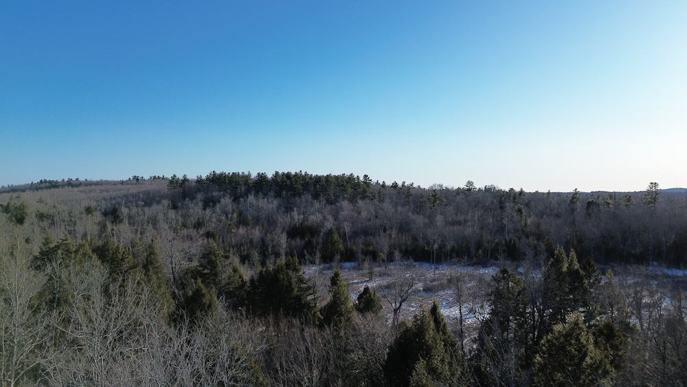
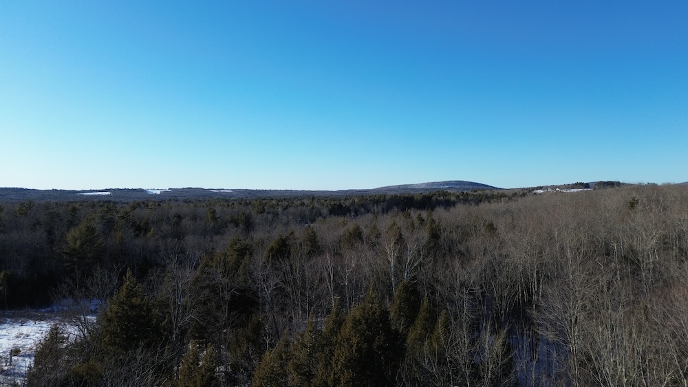
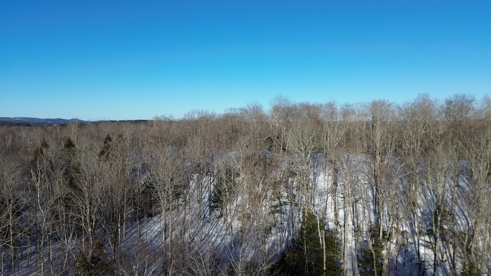
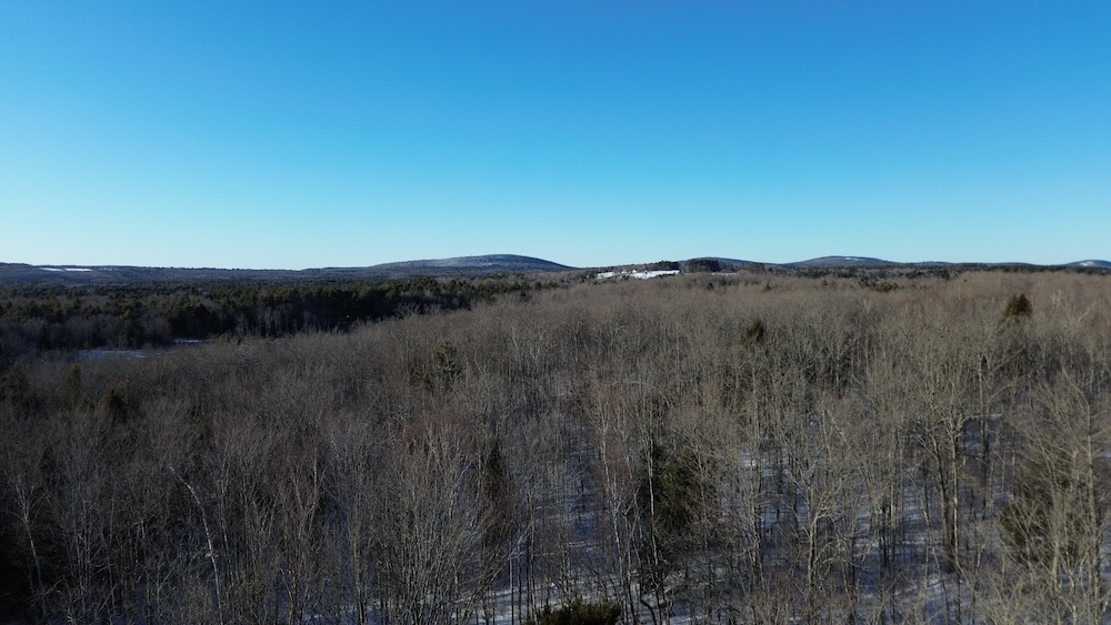
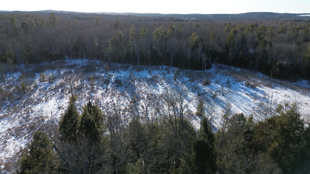
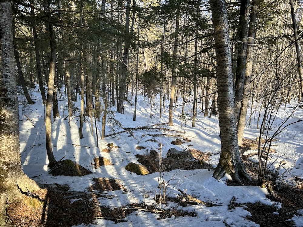
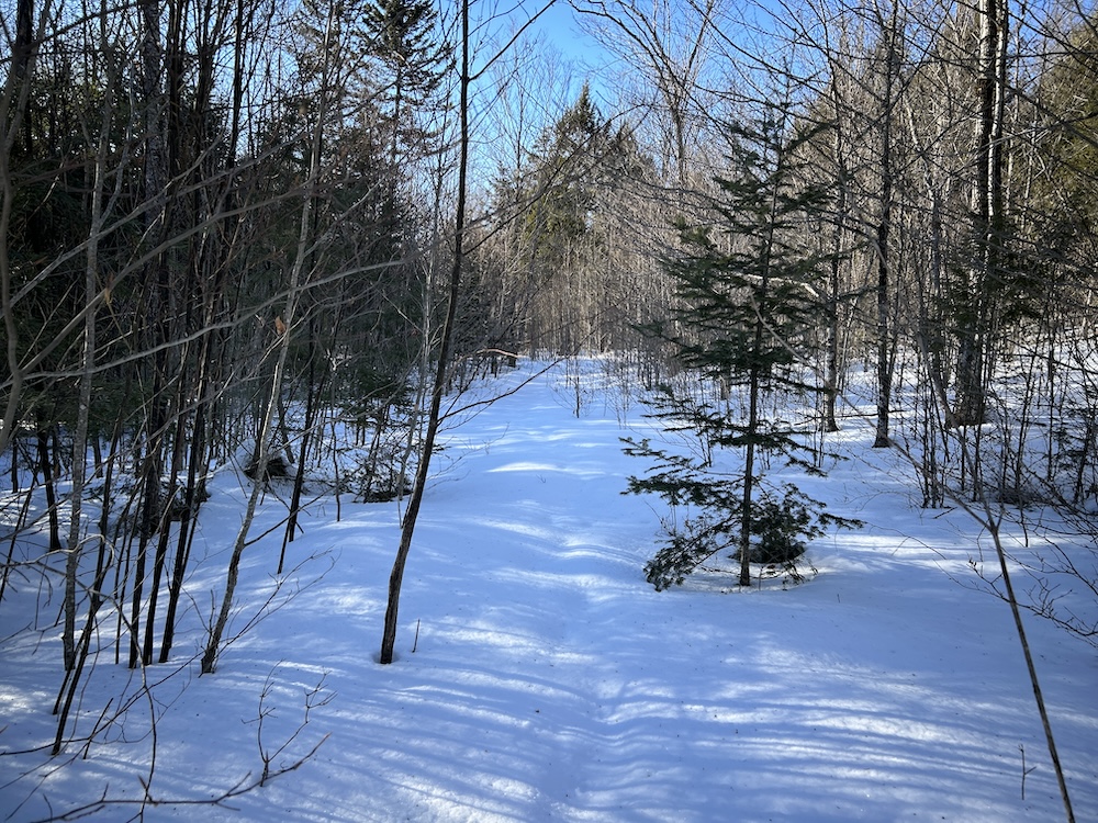
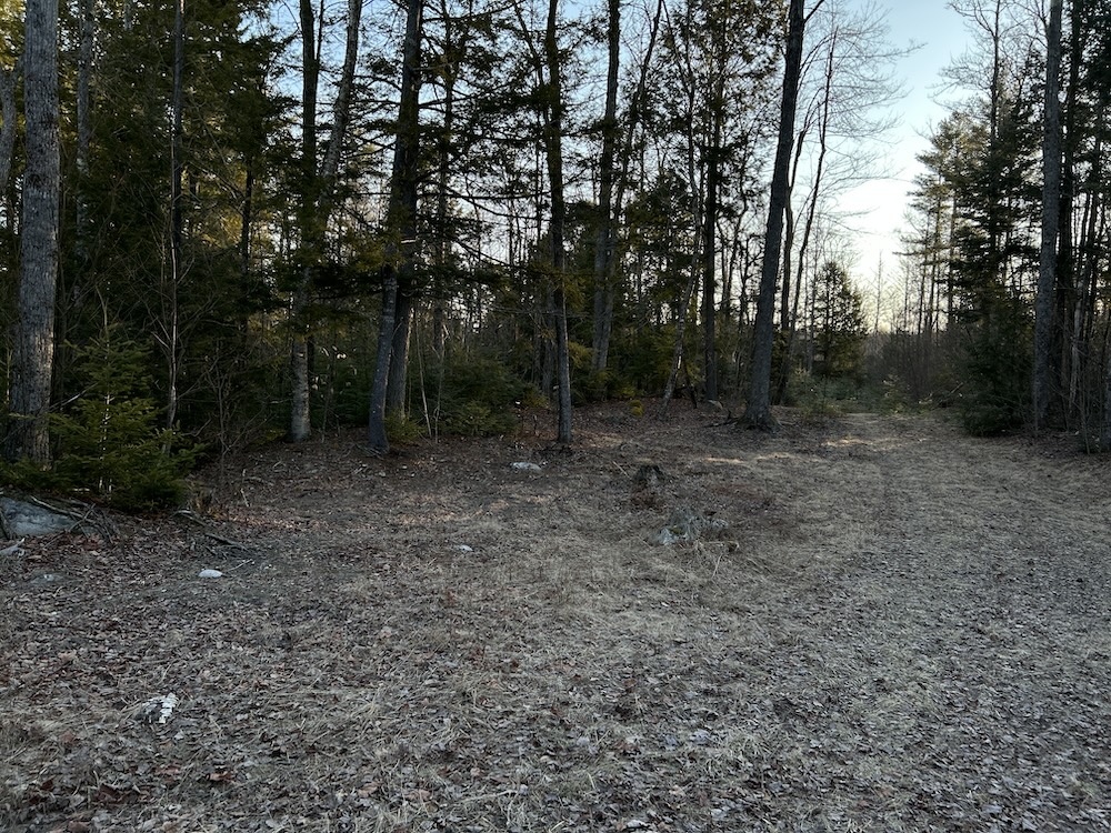
Offered below appraised value, this 37± acre parcel sits near the Washington Pond boat launch and brings together habitat, terrain, and long-term timber potential. The land has been surveyed and includes an updated forest management plan, giving structure for future use and stewardship. Walk it, and you’ll see how the ground lies and how it’s been used over time.
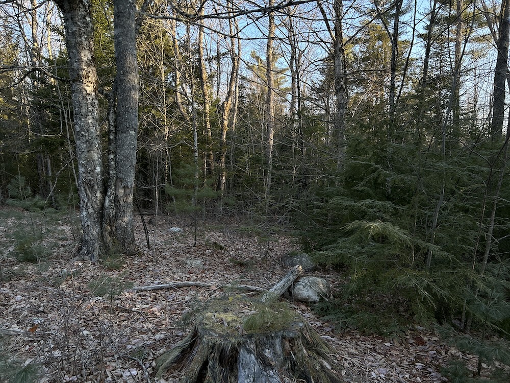
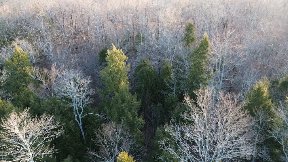
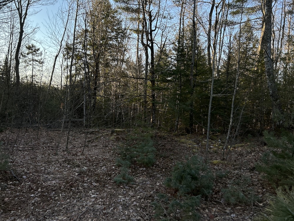
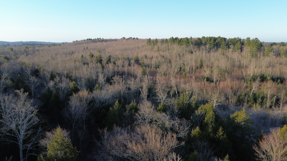
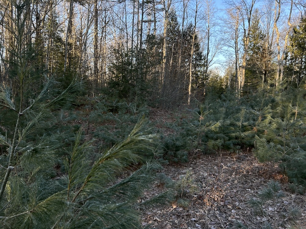
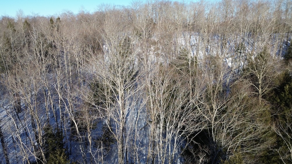
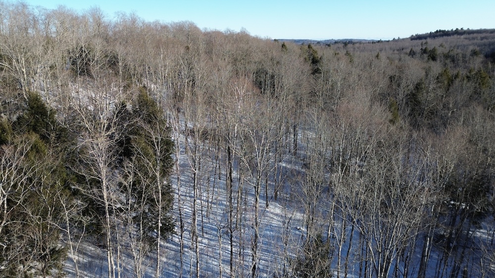
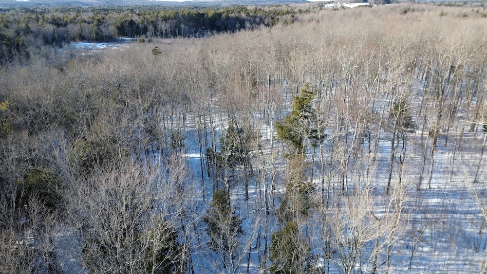
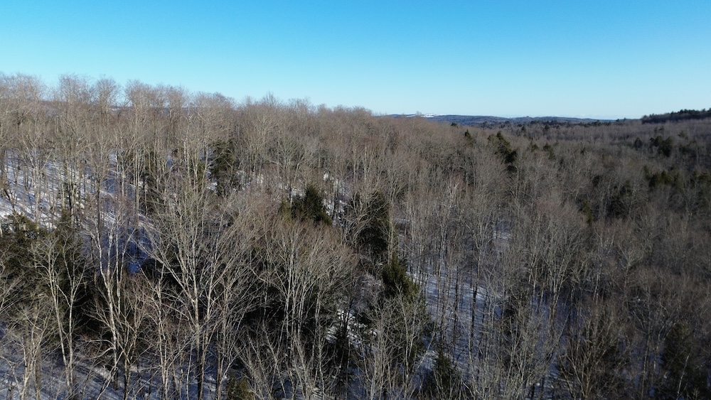
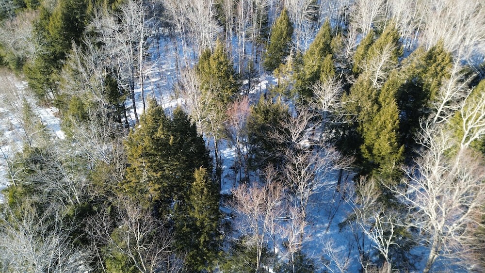
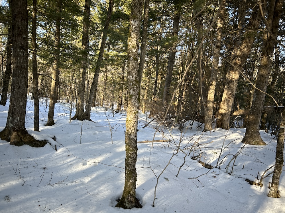
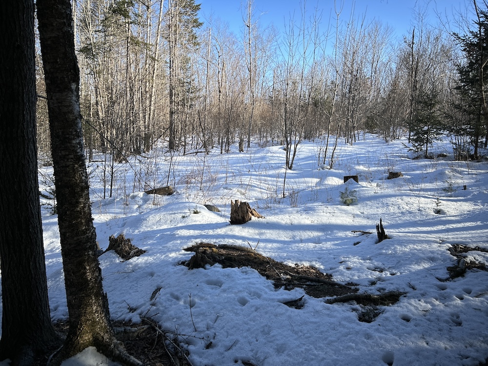
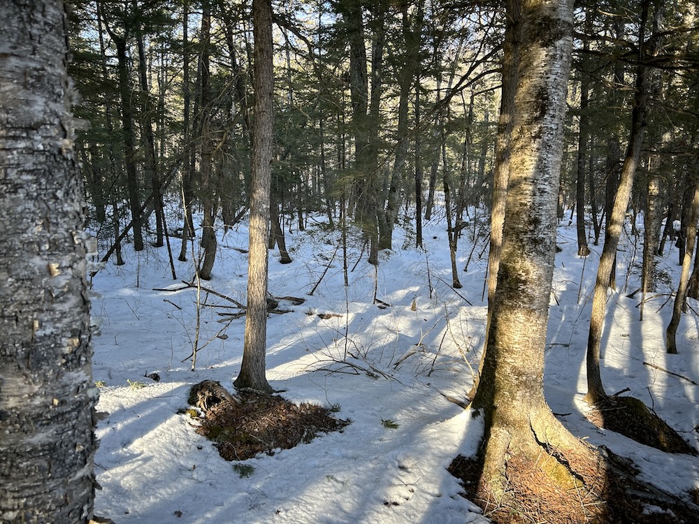
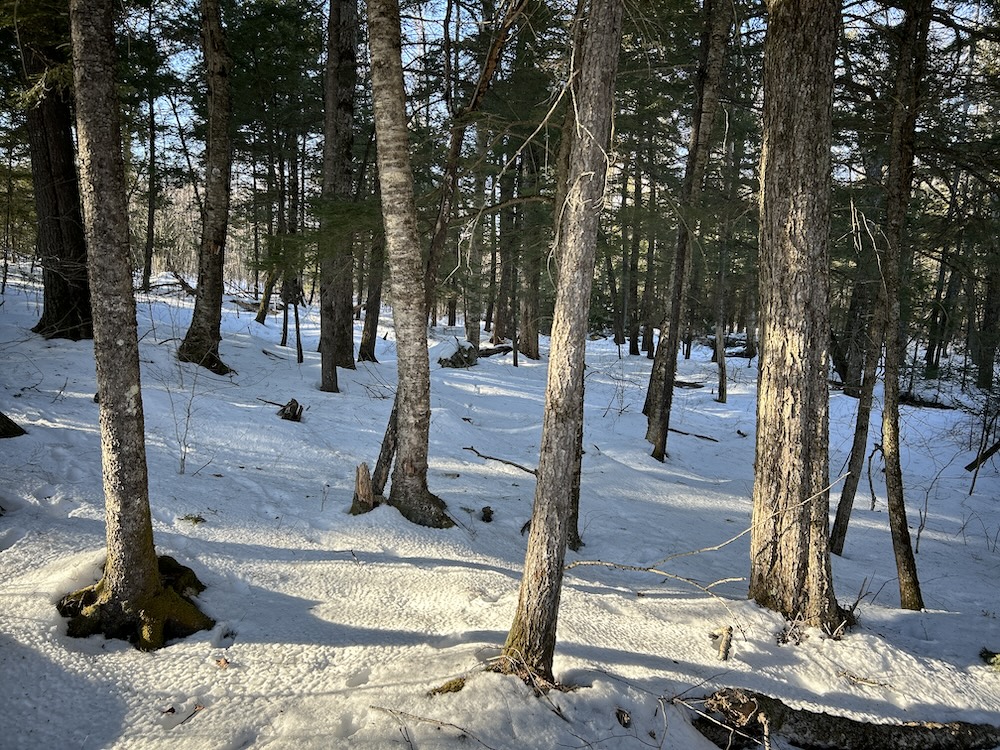
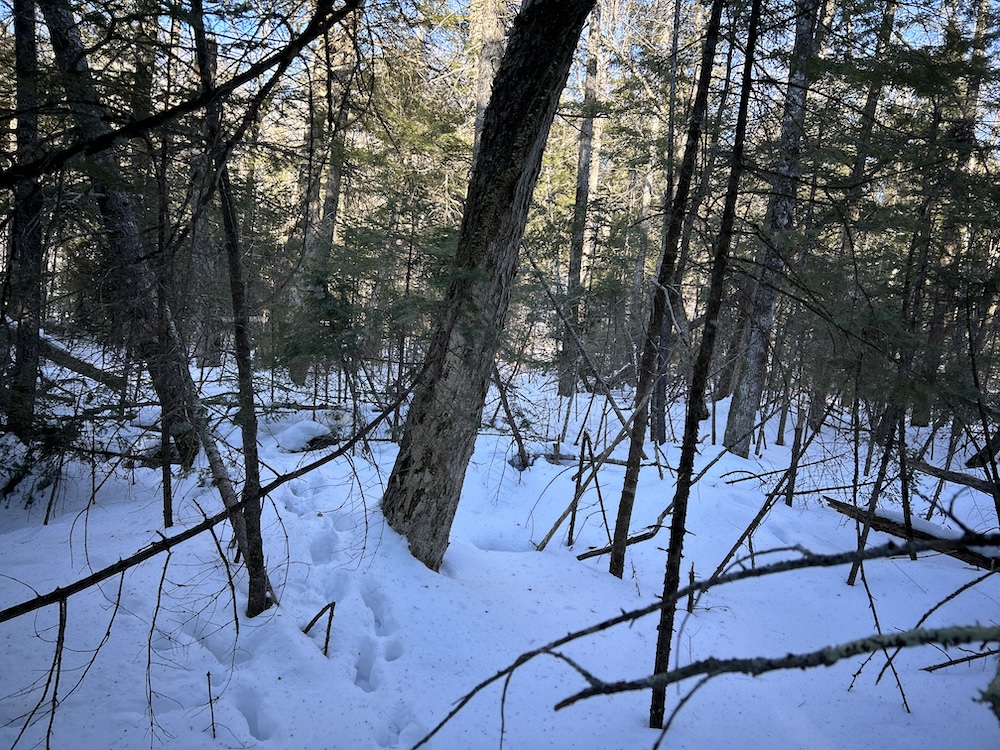
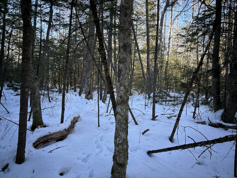
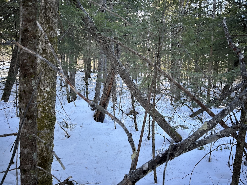
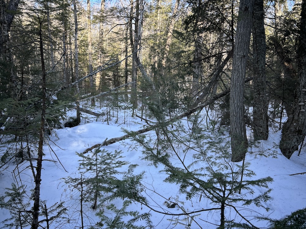
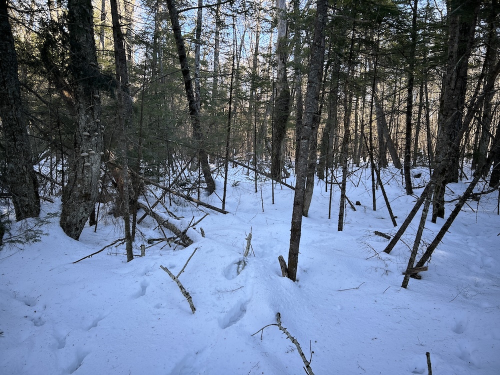
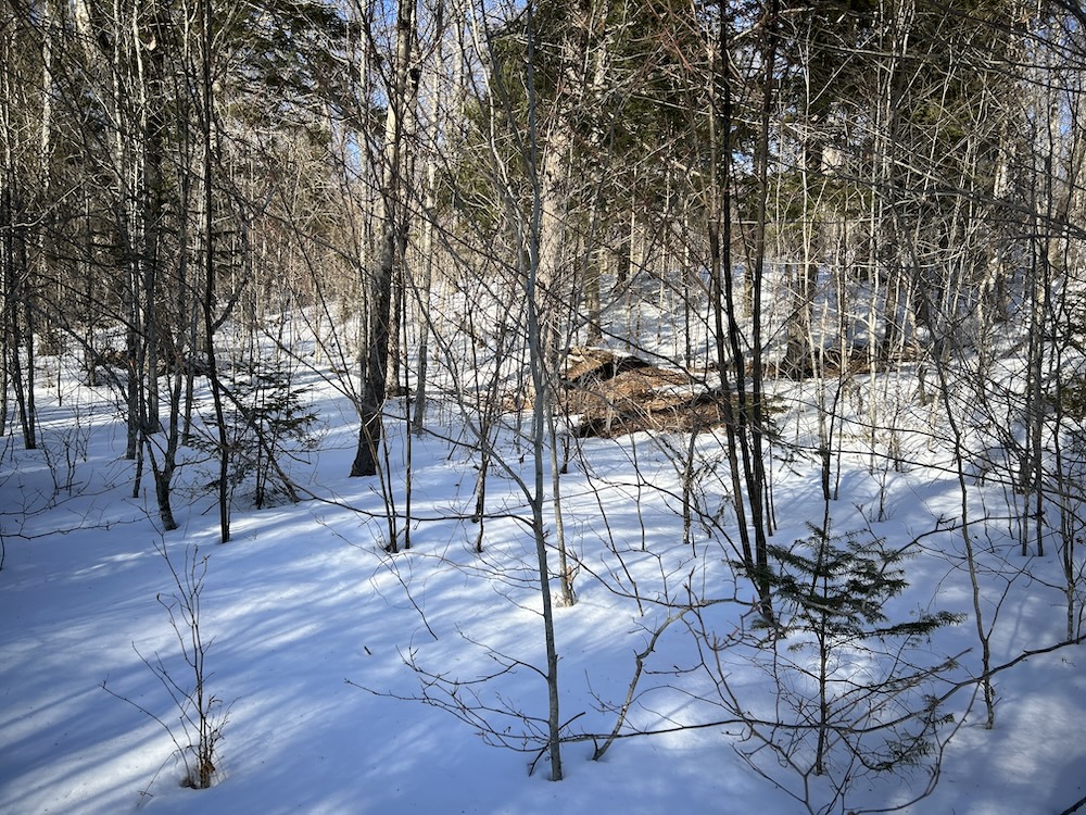
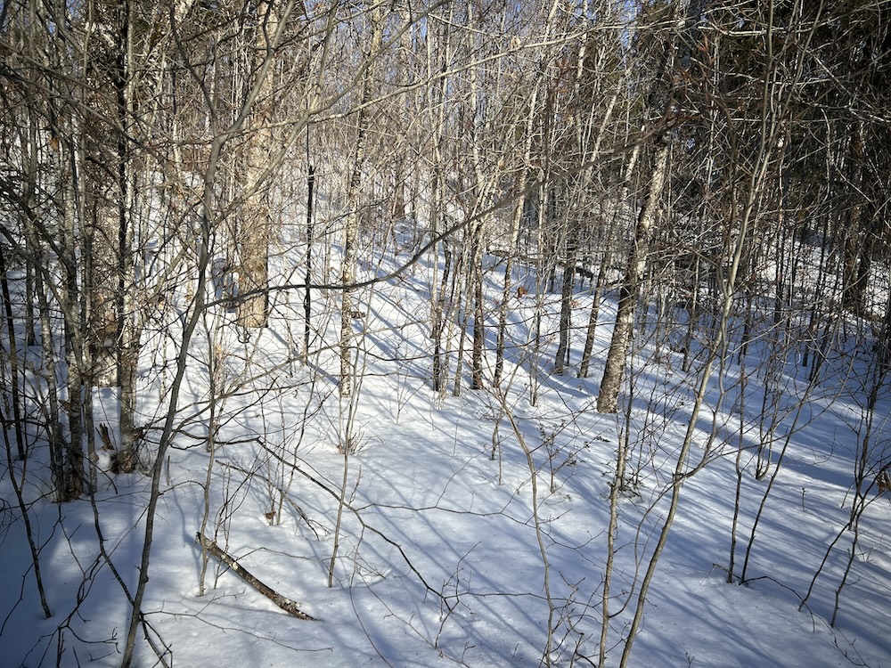
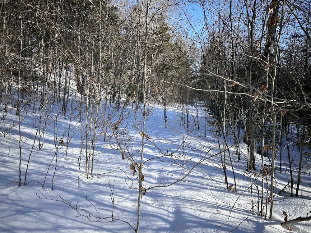
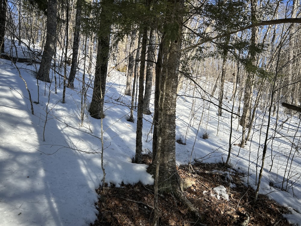
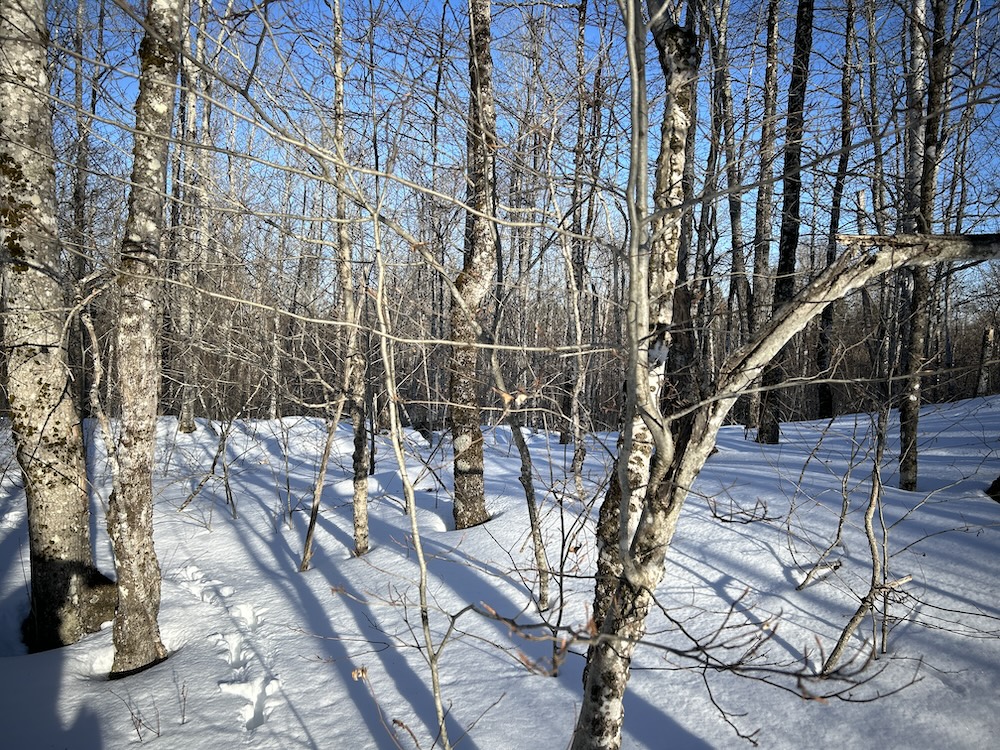
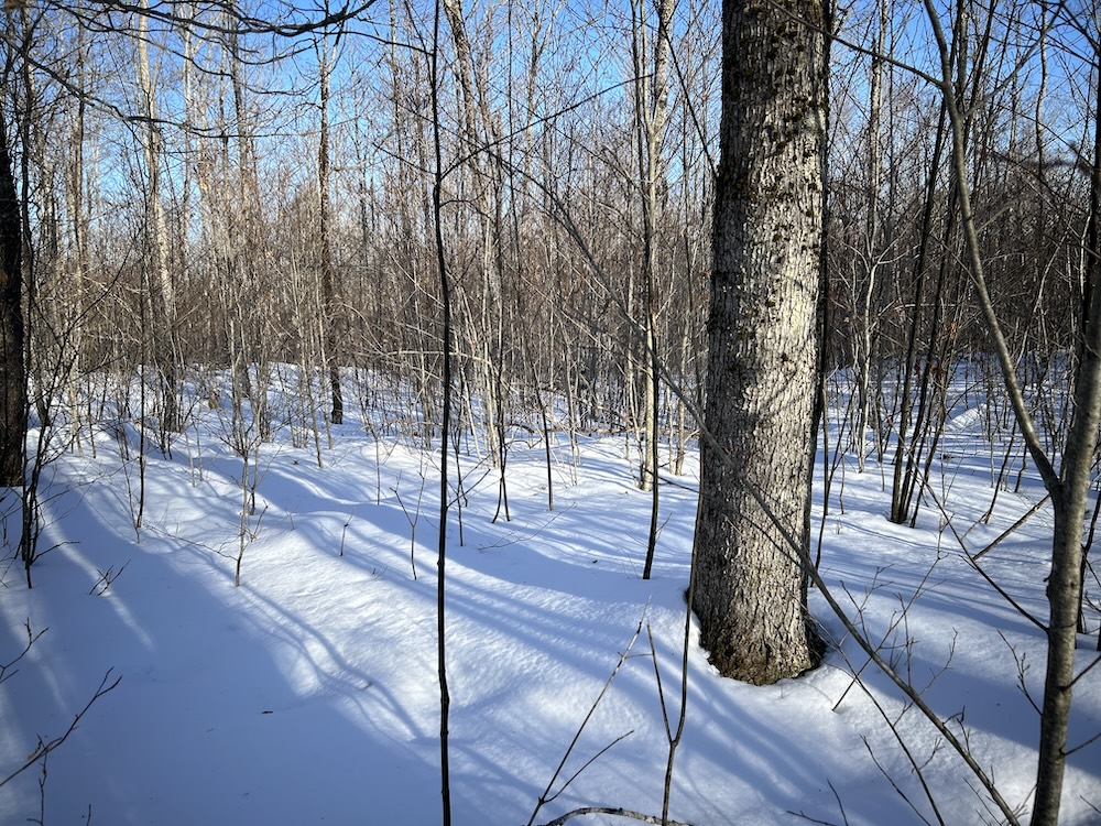
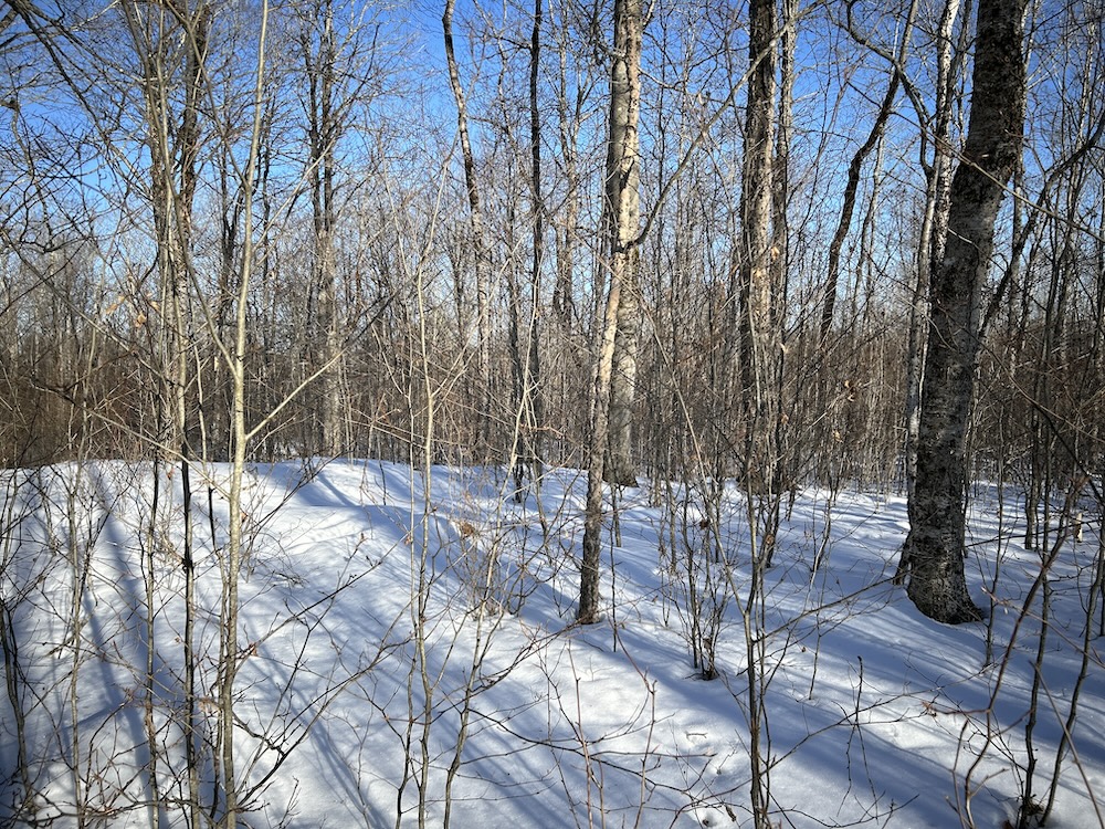
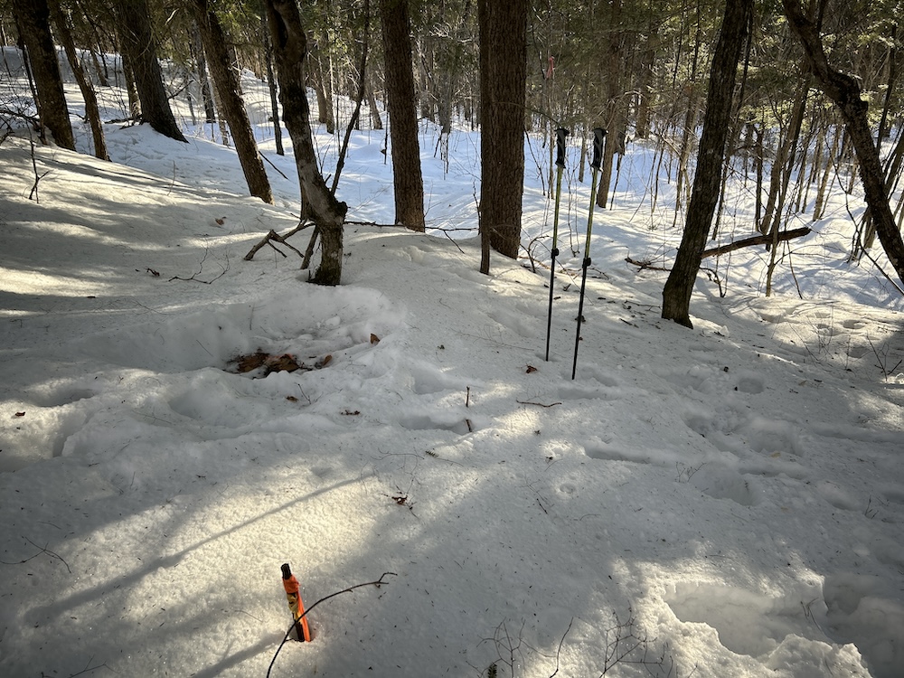
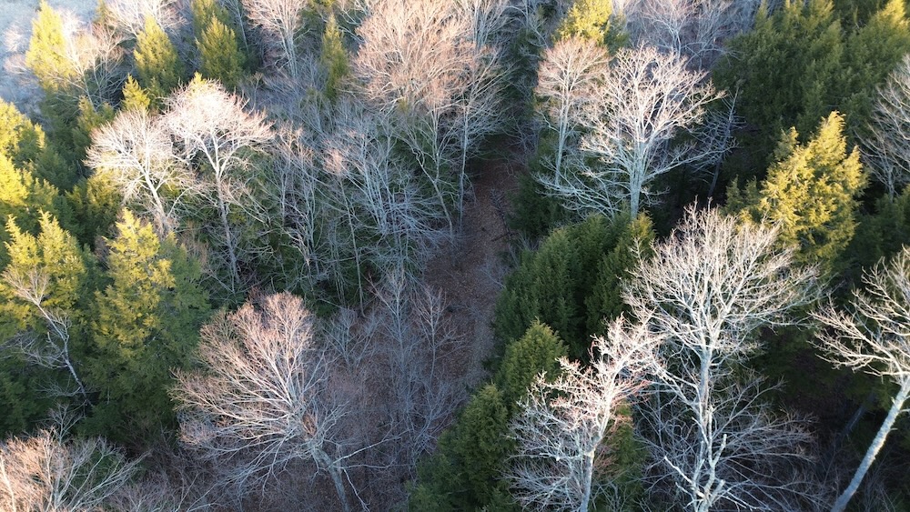
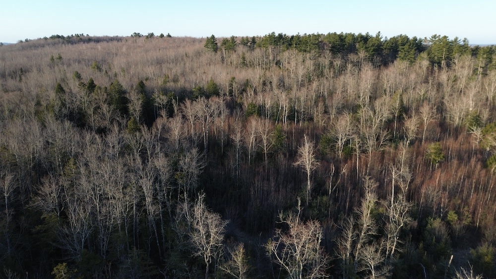
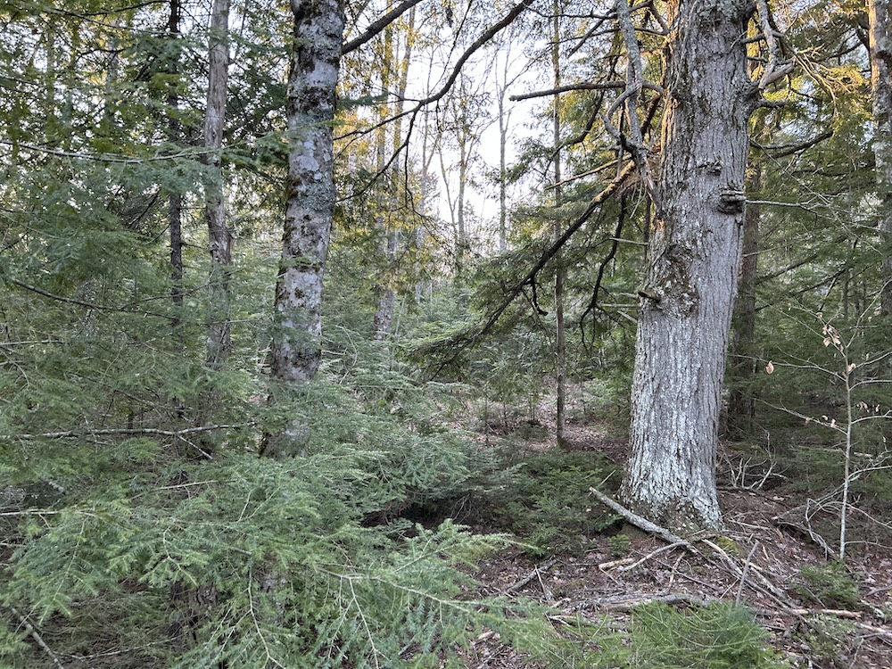
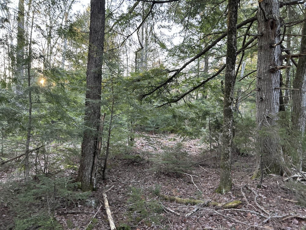
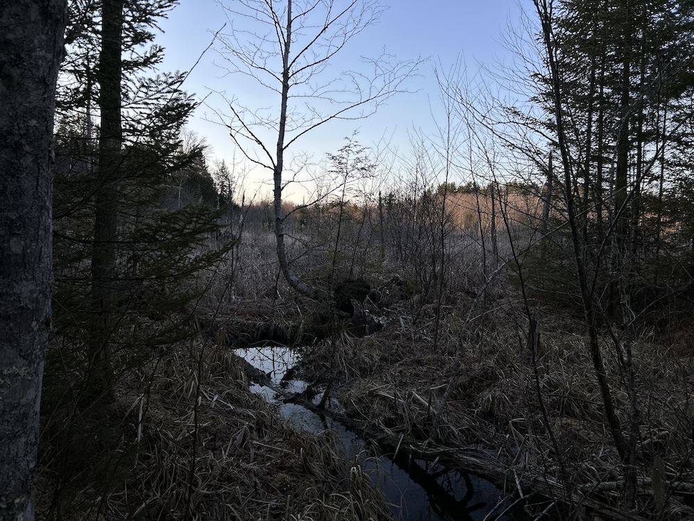
Harvested roughly thirteen years ago, the forest has regenerated into a mix of deciduous and conifer species. This stage of growth provides dense cover and steady browse, supporting consistent wildlife activity. Deer trails, bedding areas, and winter movement are easy to identify, with tracks following the natural folds of the terrain and crossing old skid roads. Spend some time on the ground, and the patterns become clear.
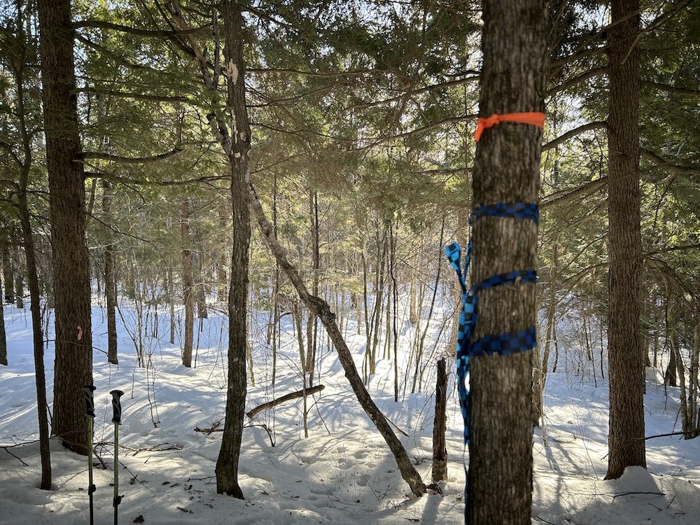
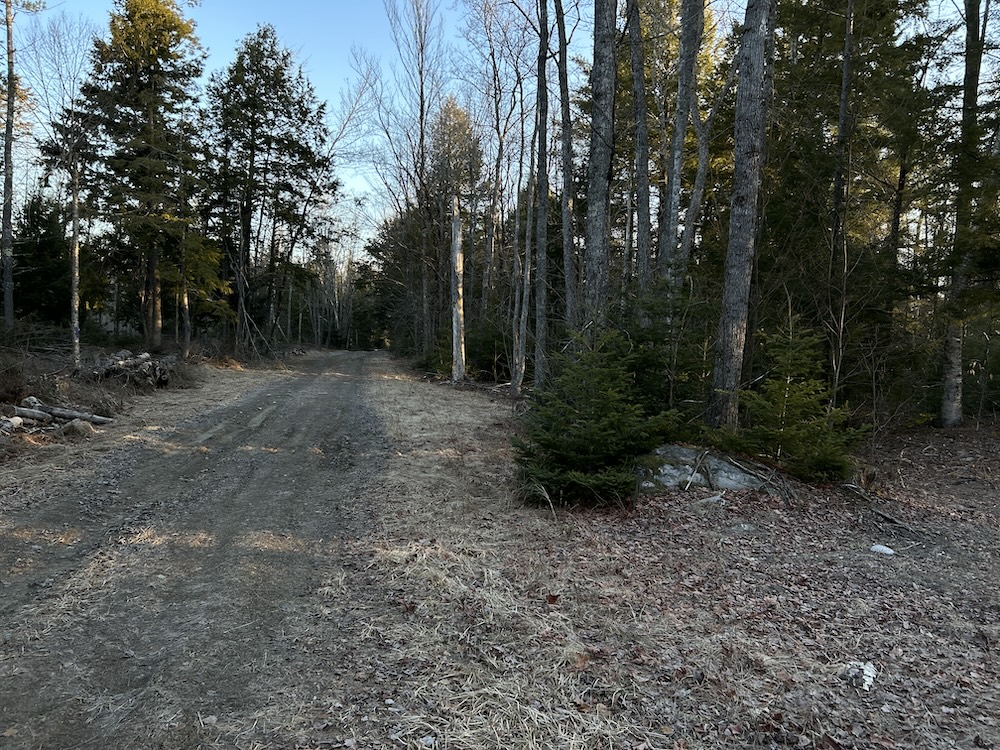
Several former logging trails remain and could be reopened with moderate work. These corridors offer a foundation for access throughout the property and lead to past landing areas that could serve as staging points or potential camp locations. Walk these trails, and you’ll get a sense of how the property connects.
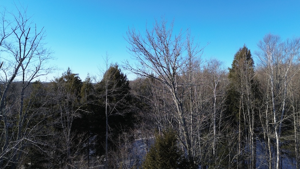
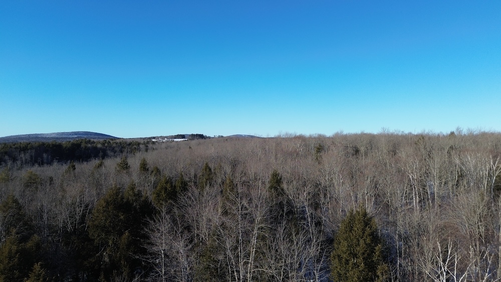
A high interior knob rises above the surrounding land, offering extended views across the nearby hills. The elevation change also shapes how wildlife moves, creating natural funnels and travel corridors that are easy to read once you’re on site. Climb to the high point and take in the perspective.
Power is located roughly a quarter mile away, offering flexibility for plans while maintaining a private setting. The parcel's size makes it manageable while still providing enough space for privacy, habitat work, and recreation.
This tract works well as a hunting property, a seasonal retreat, or a long-term hold. Reach out for the survey and management plan, then come walk it and see how it fits.
Summary
Address
Property
Improvements/Features
Small Game, Big Game, Upland Game
Details
- Surveyed parcel
- Updated forest management plan completed
- Significant deer sign and bedding areas
- Recoverable logging trails and former landing areas
Area Links
Other
Coordinates
Annual Taxes

Nearby Related Properties
Stay Connected
Be Part of a Thriving Land Community!
Get the same expert advice, property strategies, and land management tips that thousands of landowners trust. Subscribe now and stay ahead in the market.