Menominee County
Rolling Hunting Property 1/2 Mile East Of Menominee River With Monster Oaks And White Pines
W8713 Co Rd G Daggett, MI 49821
Media
Description
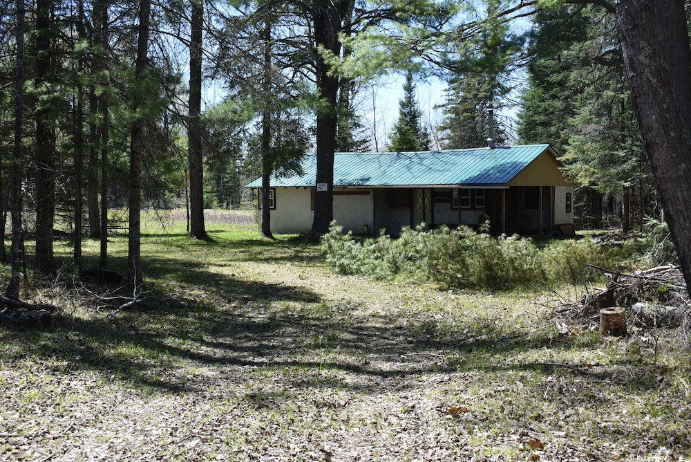
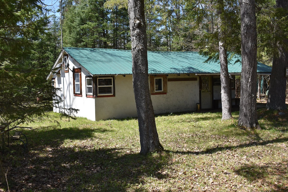
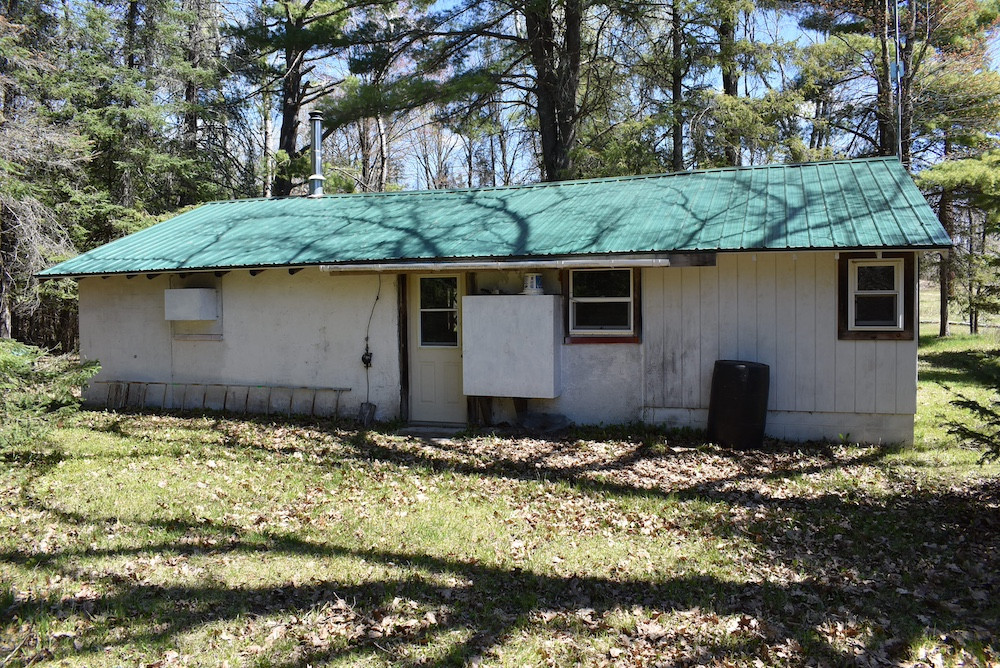
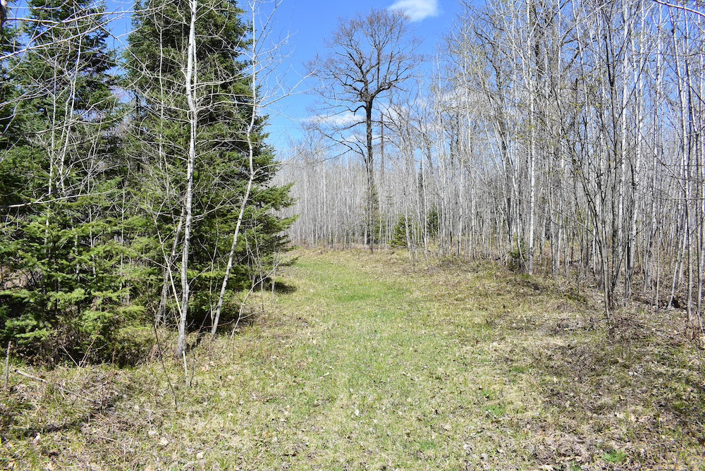
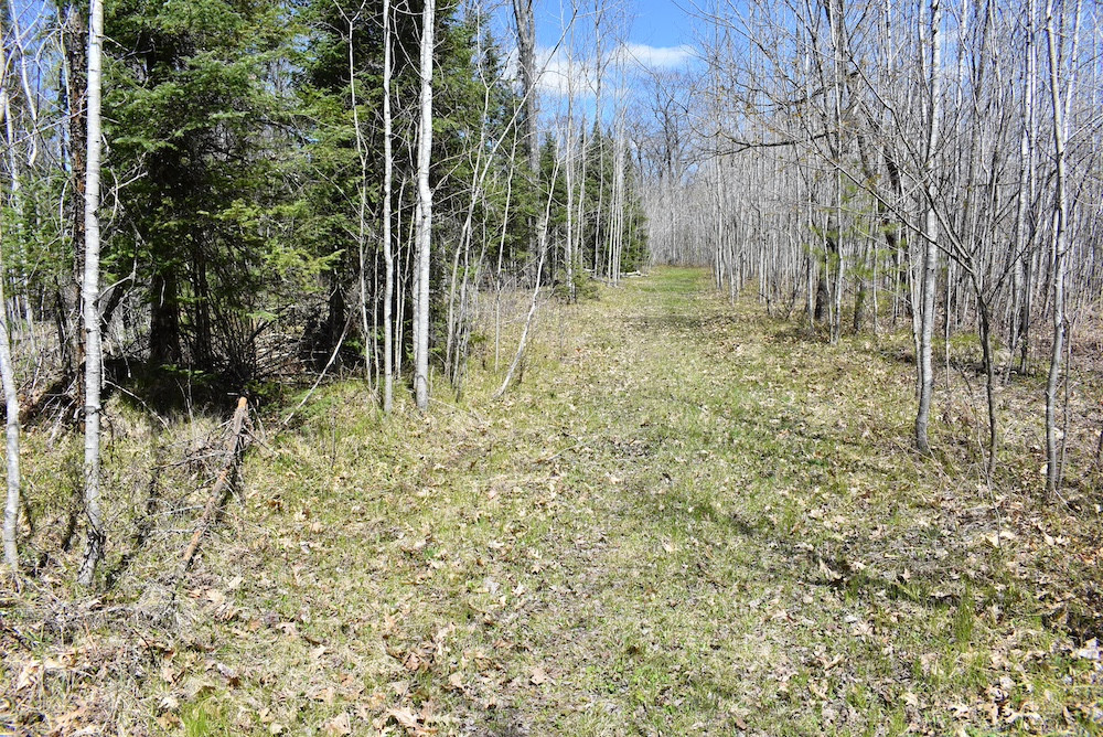
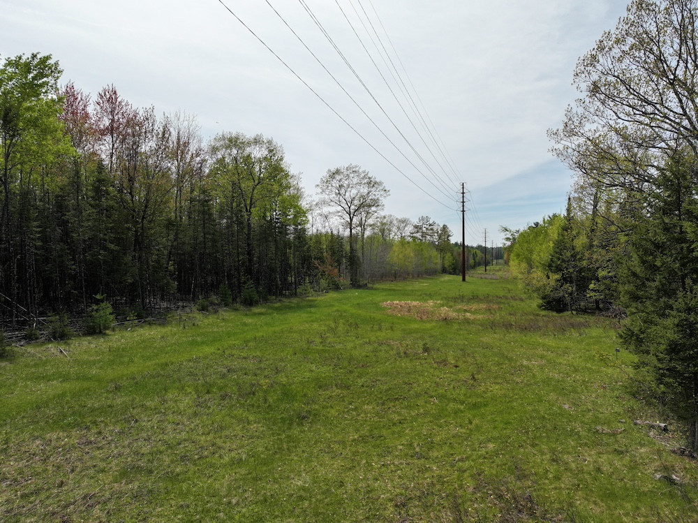
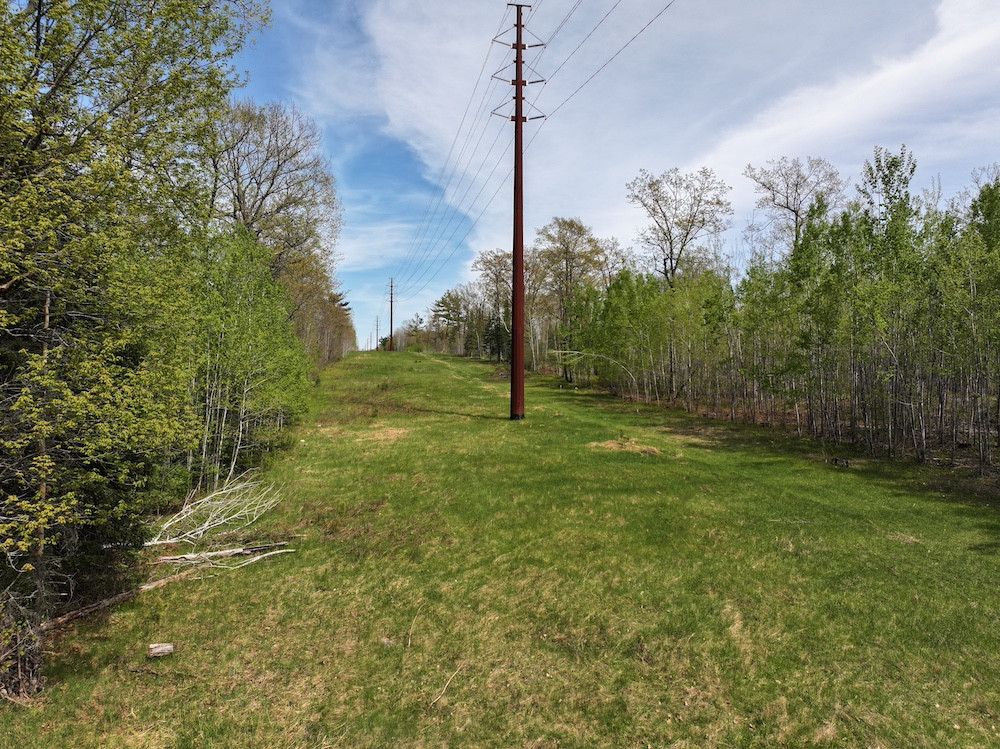
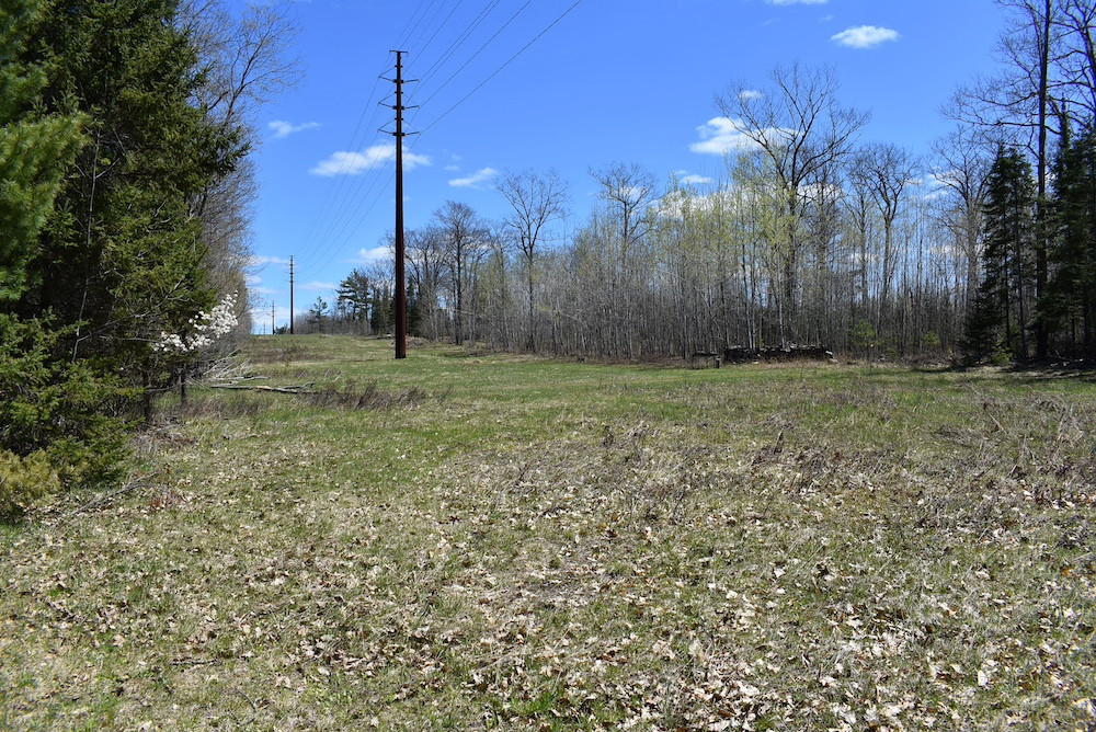
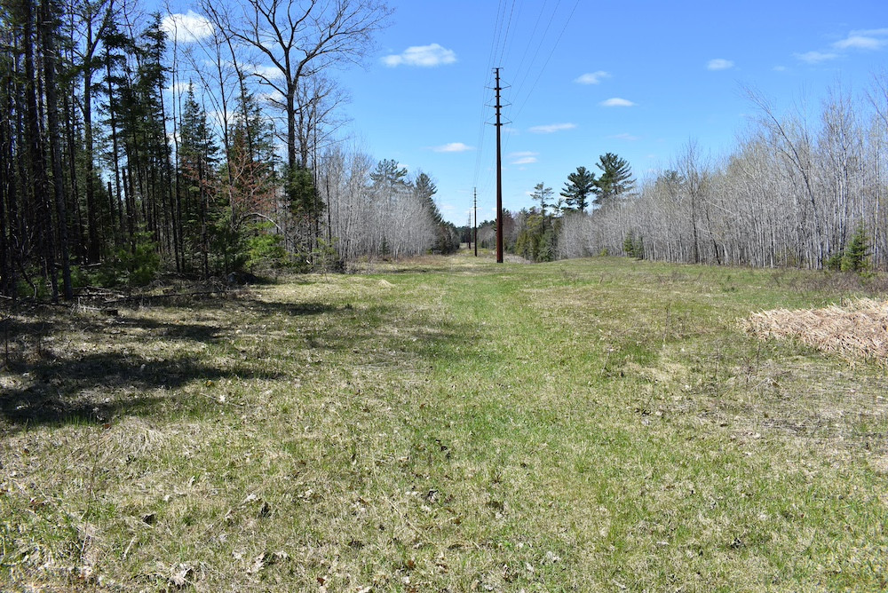
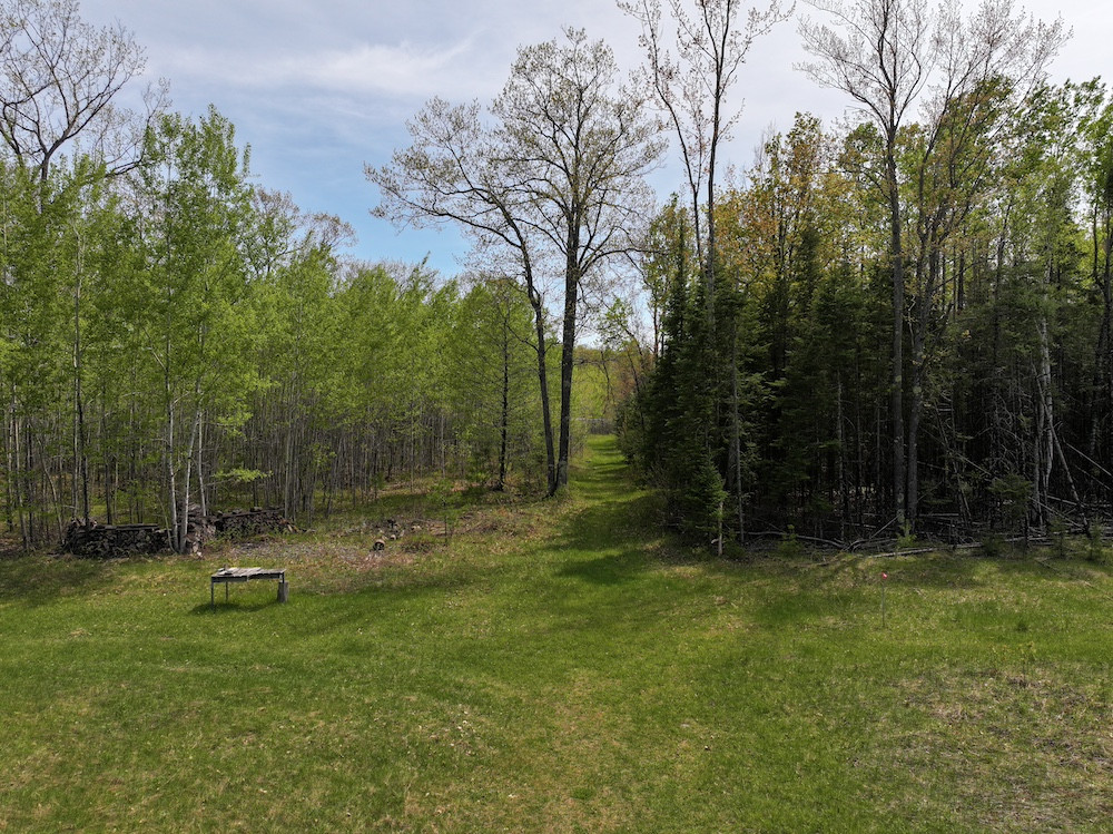
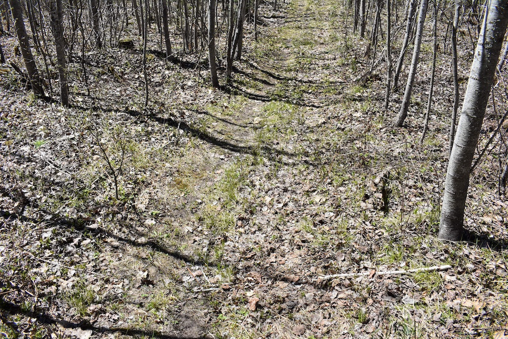
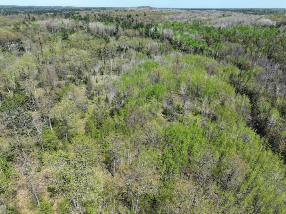
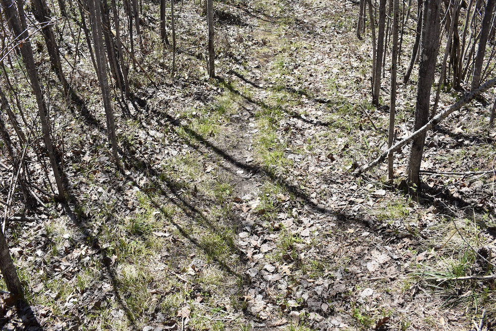
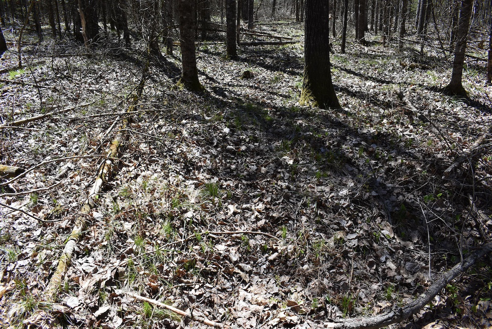
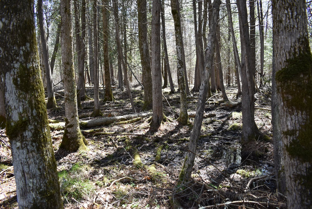
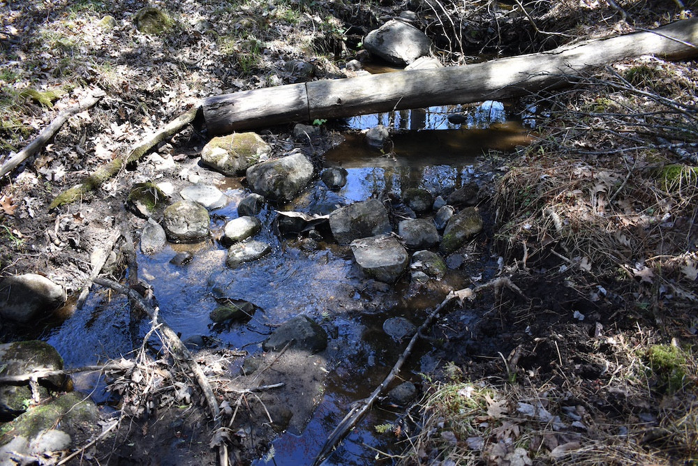
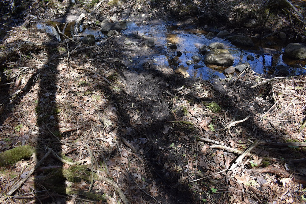
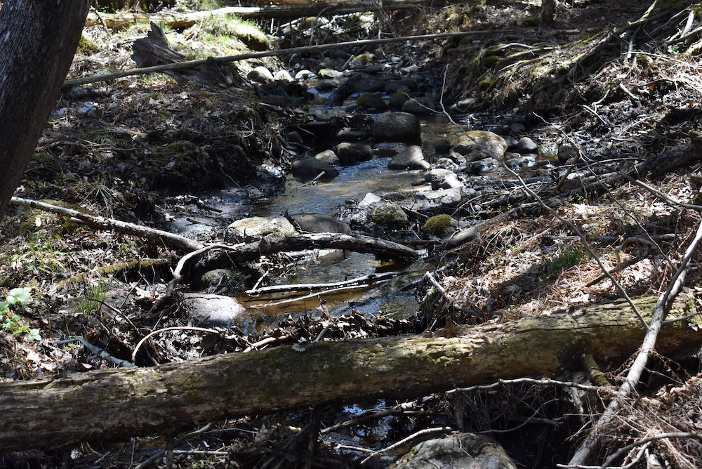
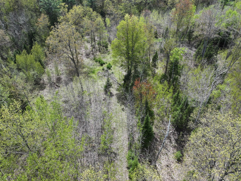
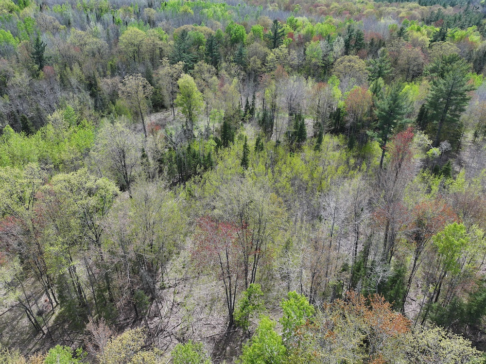
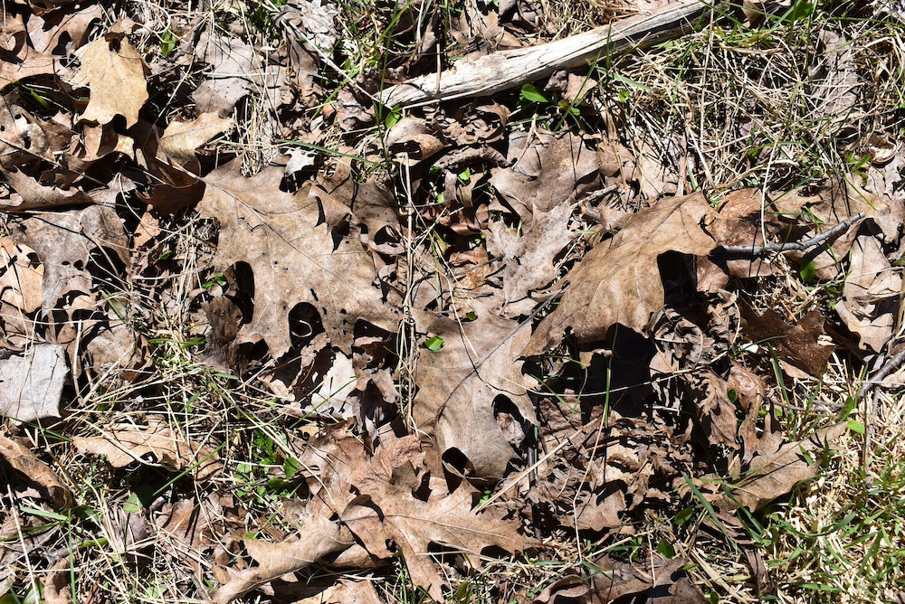
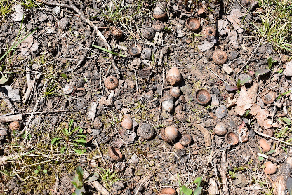
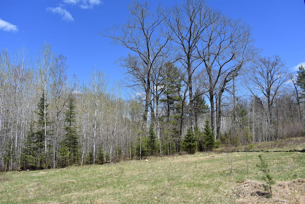
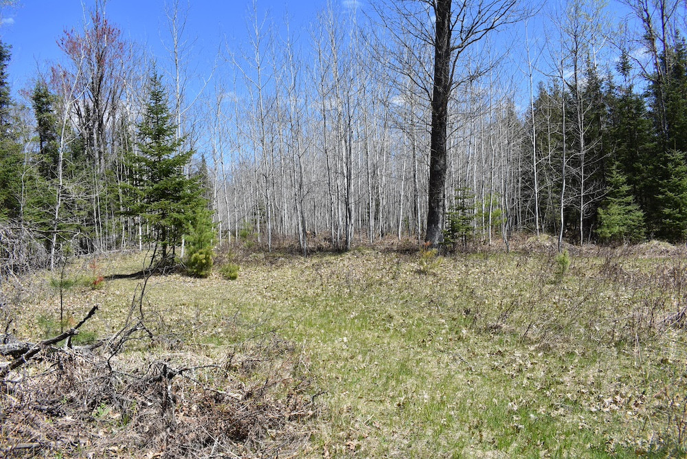
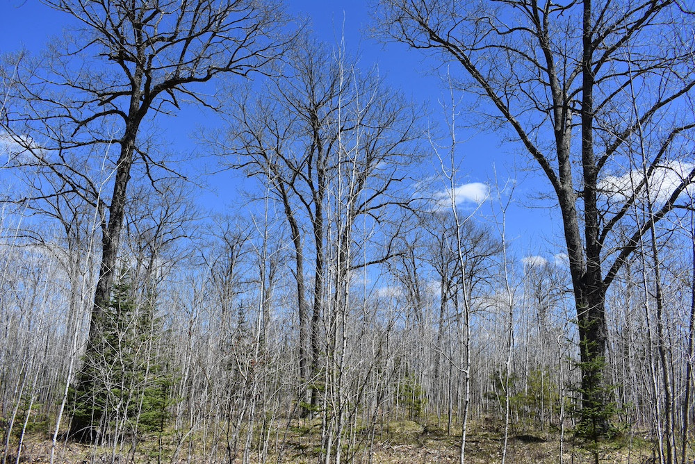
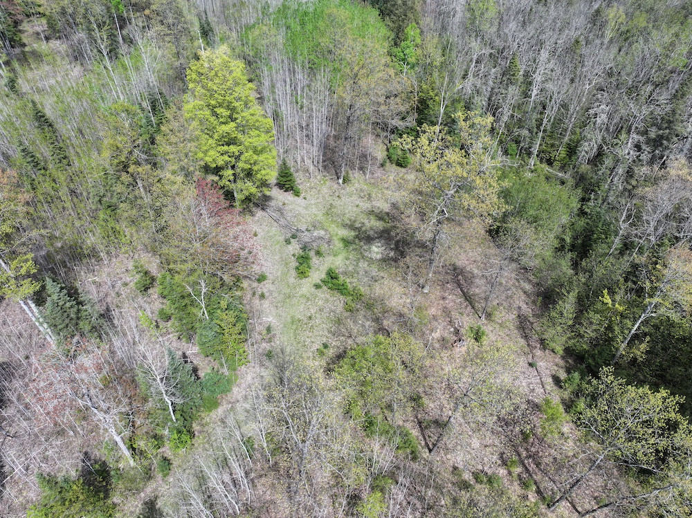
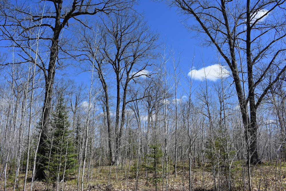
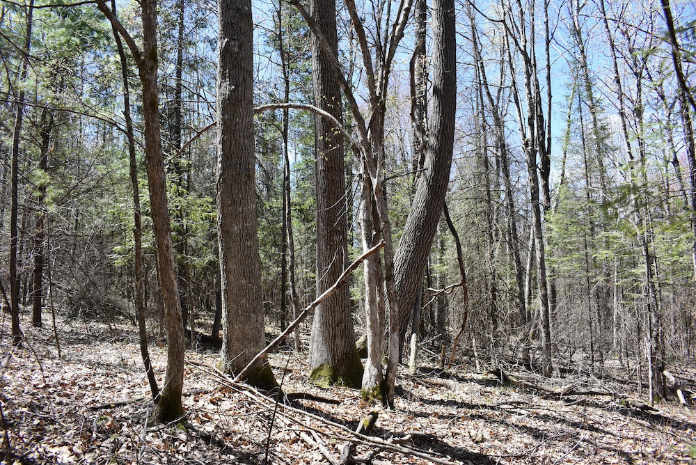
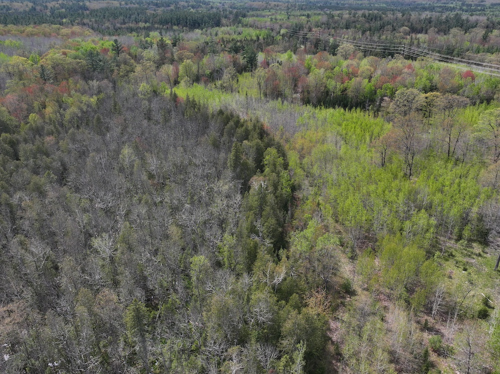
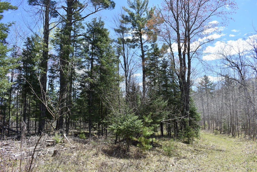
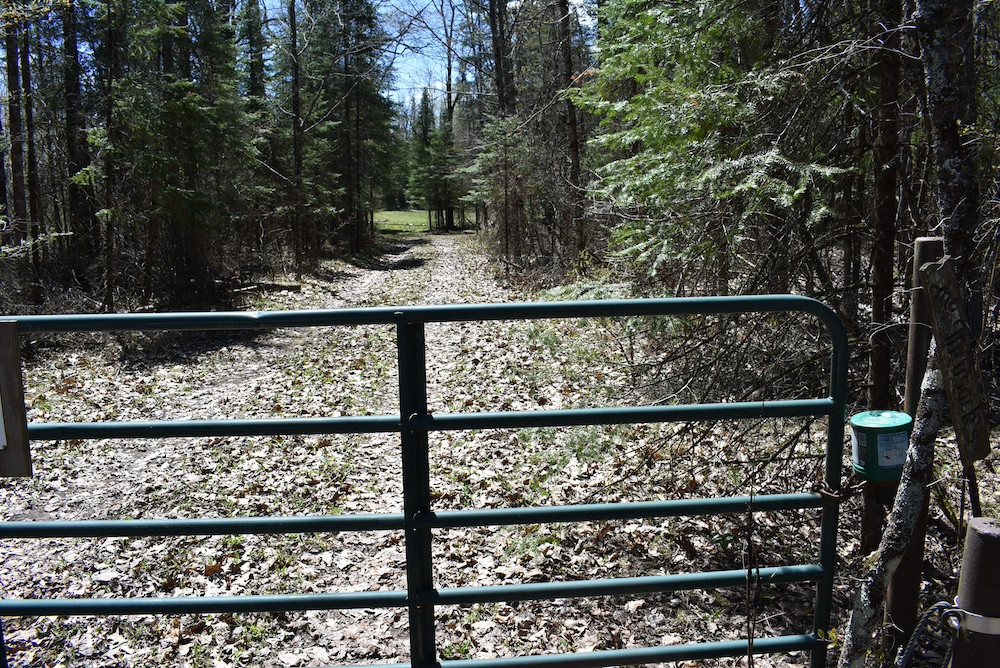
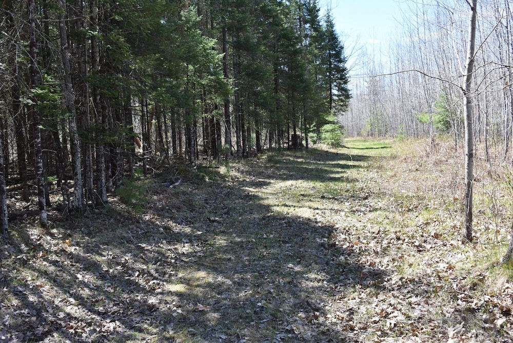
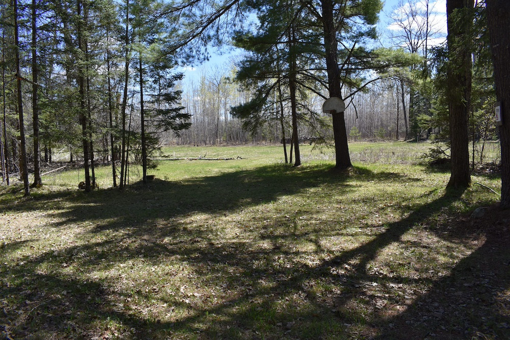
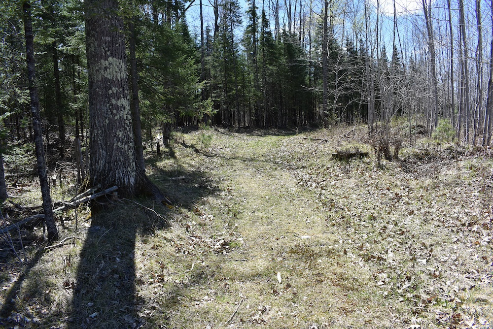
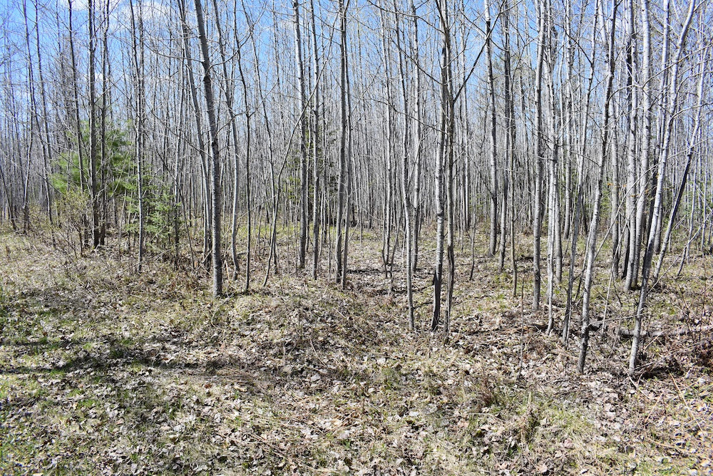
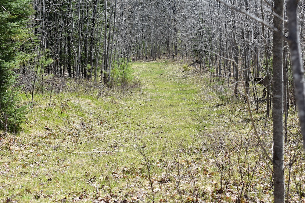
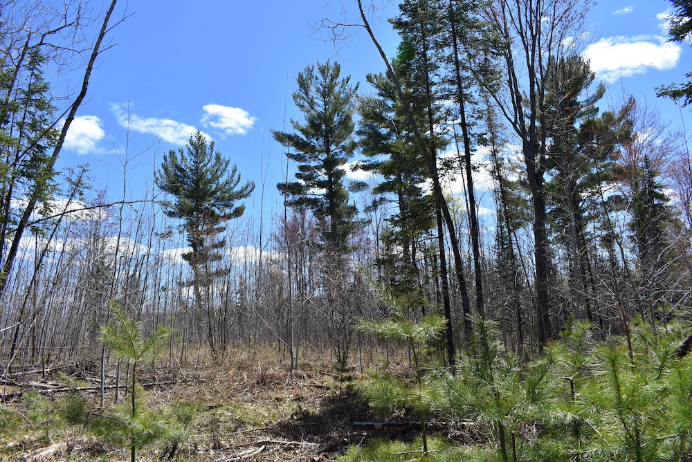
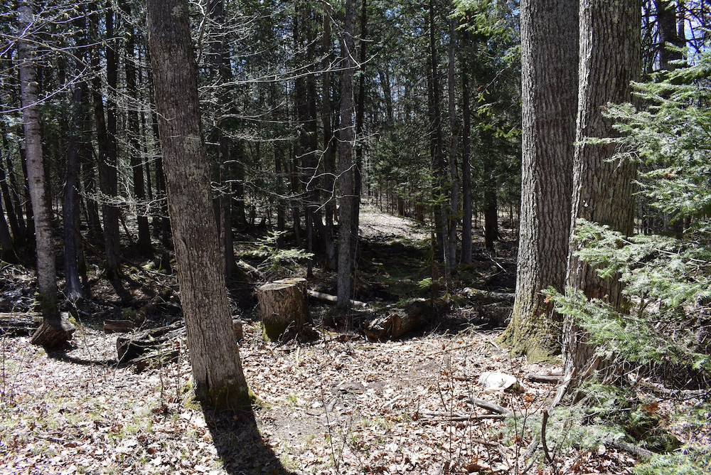
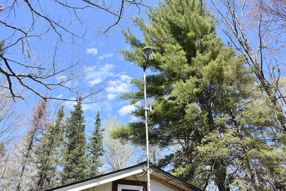
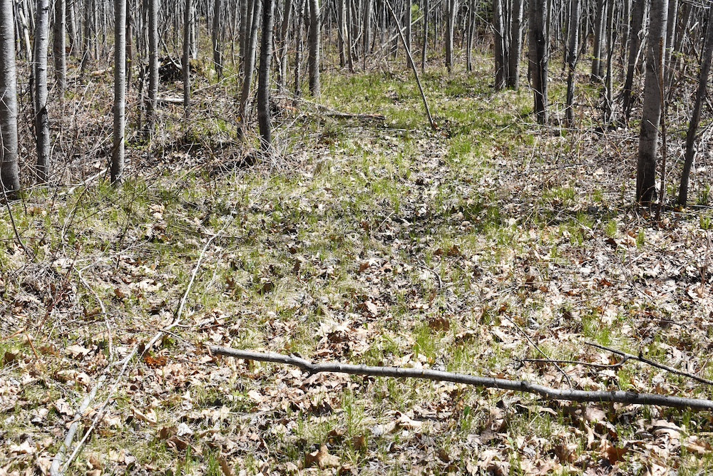
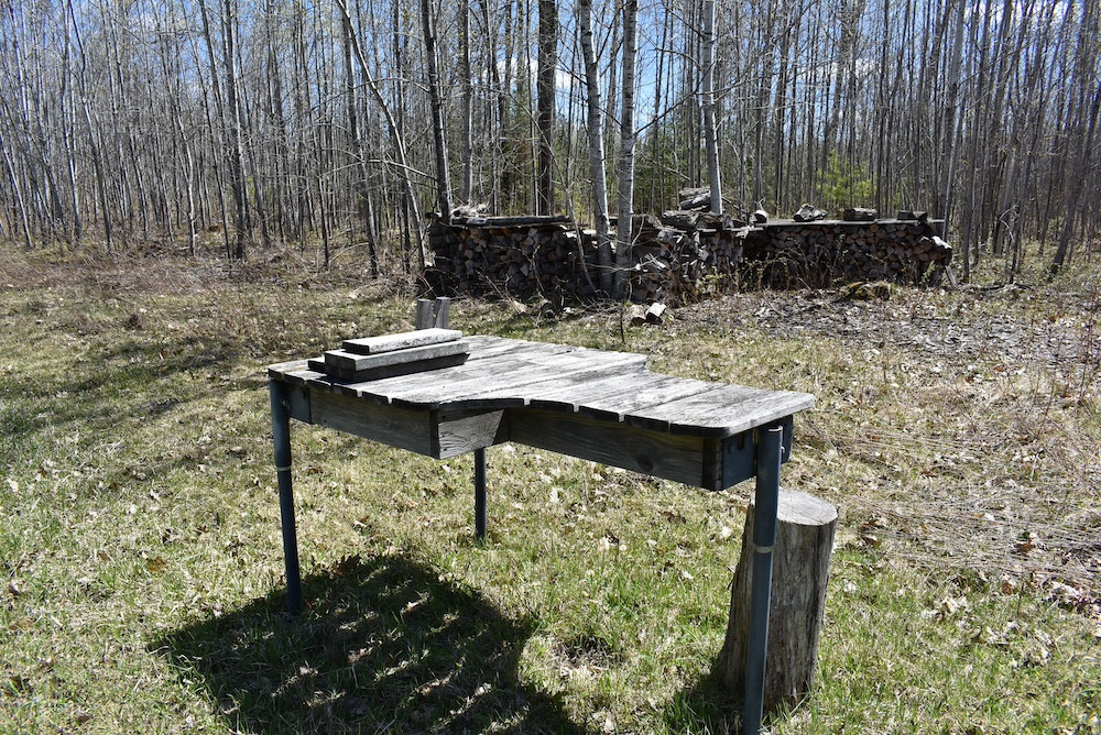
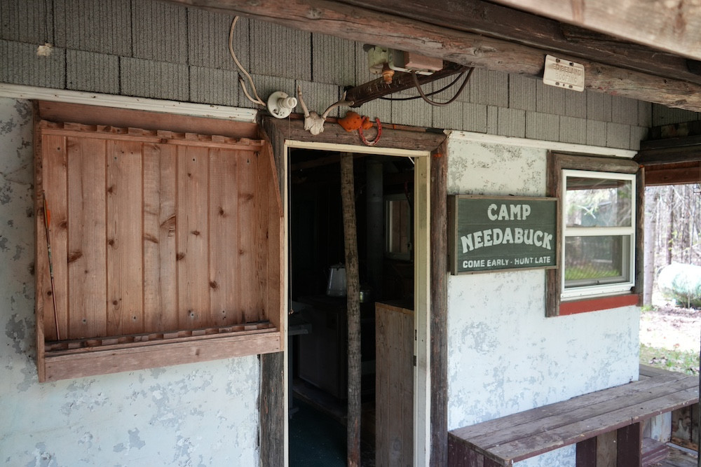
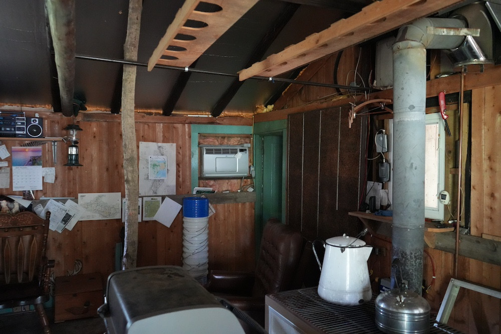
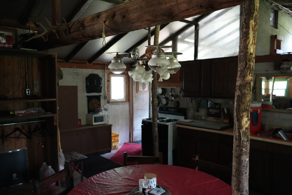
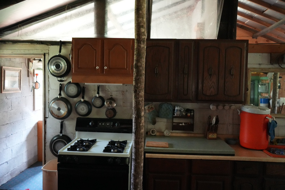
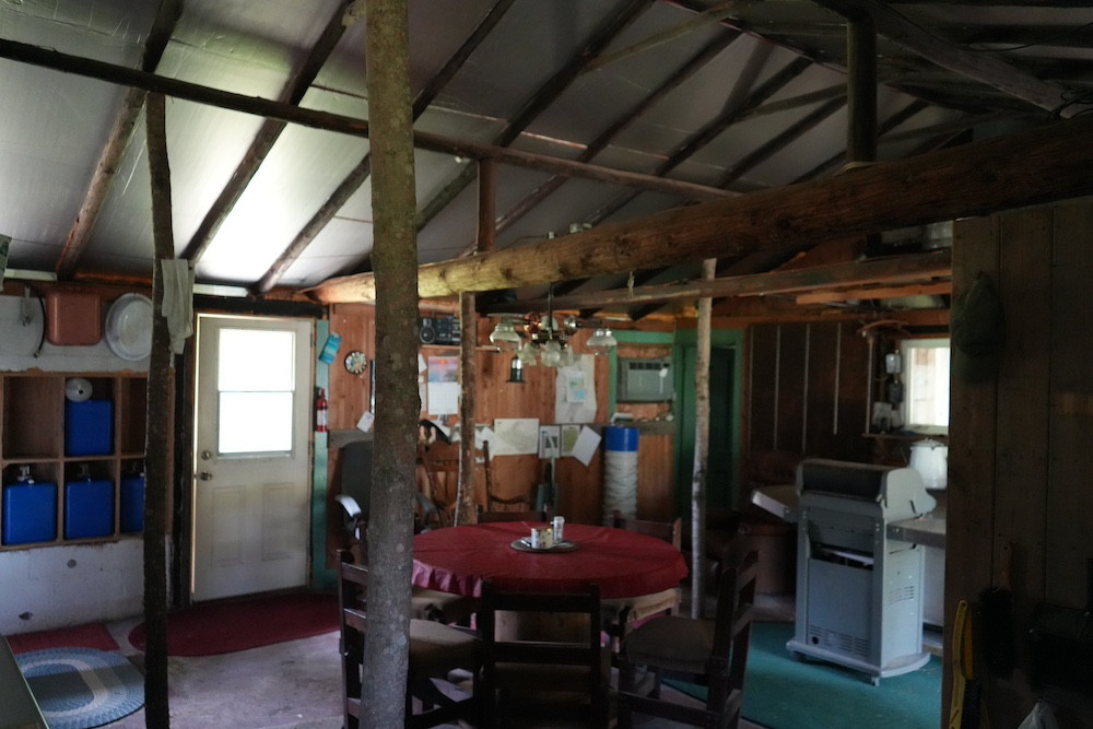
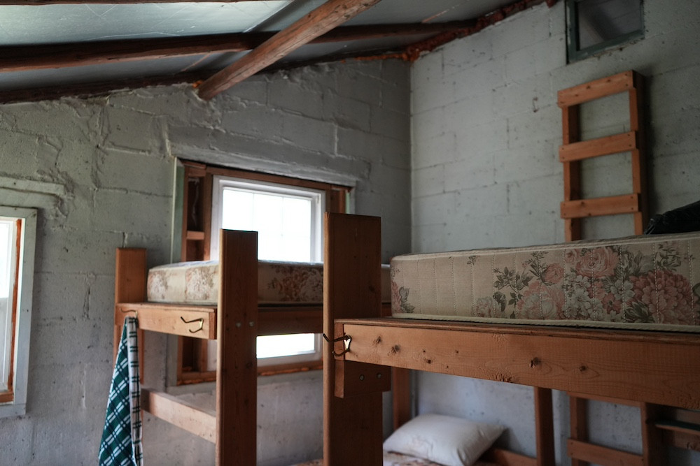
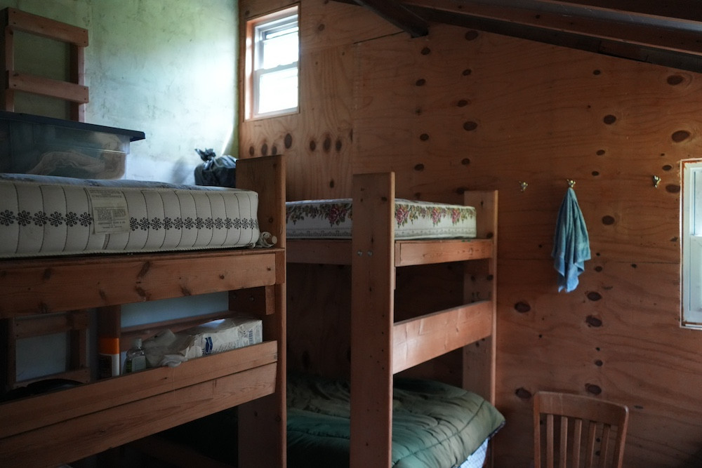
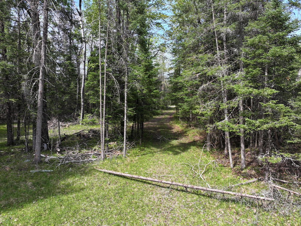
A great balance of both high and low ground have created a really wonderful piece of hunting land easily capable of handling a pretty good sized group of hunters. The overhead power line found just south of the cabin, that runs east to west, now provides over 5 acres of open area for various food plots of your choice. This land rolls in all directions, however, starting on the east end the elevation drops over 70 feet by the time you reach the west end of the property. If you continue just ½ mile to the west, beyond the edge of your new property, you will find the peaceful and steady flowing Menominee River, the border of Wisconsin and Michigan. It is here that fishing, canoeing and other water sports tempt you and your guests to leave the hunting camp on a warm day. In the fall, ducks, geese and woodcock follow the river on their annual migration south. A small, but steady, stream along the south side of the property provides fresh water that deer frequent routinely. The shade of the large hemlocks found along the stream always provide good cover and a cool place to spend the day, it is here that you will place at least one of your hunting stands. The aspens were cut a few years back and the regrowth is now providing fabulous cover for deer and grouse, and when the fall migration begins, you can expect woodcock to be found here. The cabin was built a number of years ago and has good bones. Though there is no electricity serving the cabin, a generator provides needed power. No well or septic are currently in place, however there should be little trouble with drilling a well and putting in a septic system as the soils found on the property should support an approved septic system. The trail system throughout the property is very nice, wide and well maintained. Getting to your hunting blind should be no trouble. For larger groups of hunters, know that the entire south border of the property is contiguous to State of Michigan Land. One quarter mile of the north side of the property also borders State land. Trees include very large oaks, pines, hemlock and aspen as well as most other species found in the region. It is the oaks that will continue to grab the attention of resident deer. If you decide to put your guns back in the rack for the day, take the time to find your way to the Pemene Creek, just north of the cabin. It drains into the Menominee River just ½ mile north of the bridge across the Menominee, west of the cabin. There aren’t very many homes or cabins in this area, even though County Road 374 (G-18) is a really nice asphalt road, likely because there is so much state land in the region, and this is what makes this property so special. If you are looking for easy access to a great hunting property, a property with lots of open space for food plots, one that is near one of the best stretches of water in the region and one that has three fourths of a mile of border that is connected to State land, you found it. The price is right and it is available right now. For the most accurate description of what this property will provide be sure to contact the listing agents, Terry Patrick or Ryan Patrick. This is a nice piece of land that is priced right.
Summary
Address
Approximate Distances
Property
Land Details
Timber
Improvements/Features
Small Game, Big Game, Upland Game, Creek/Spring, Wetlands, Food Plot, Trail Network, Gated Entrance
Details
- Property taxes are $2371.17 per year (2025)
- The cabin has good bones and has great potential
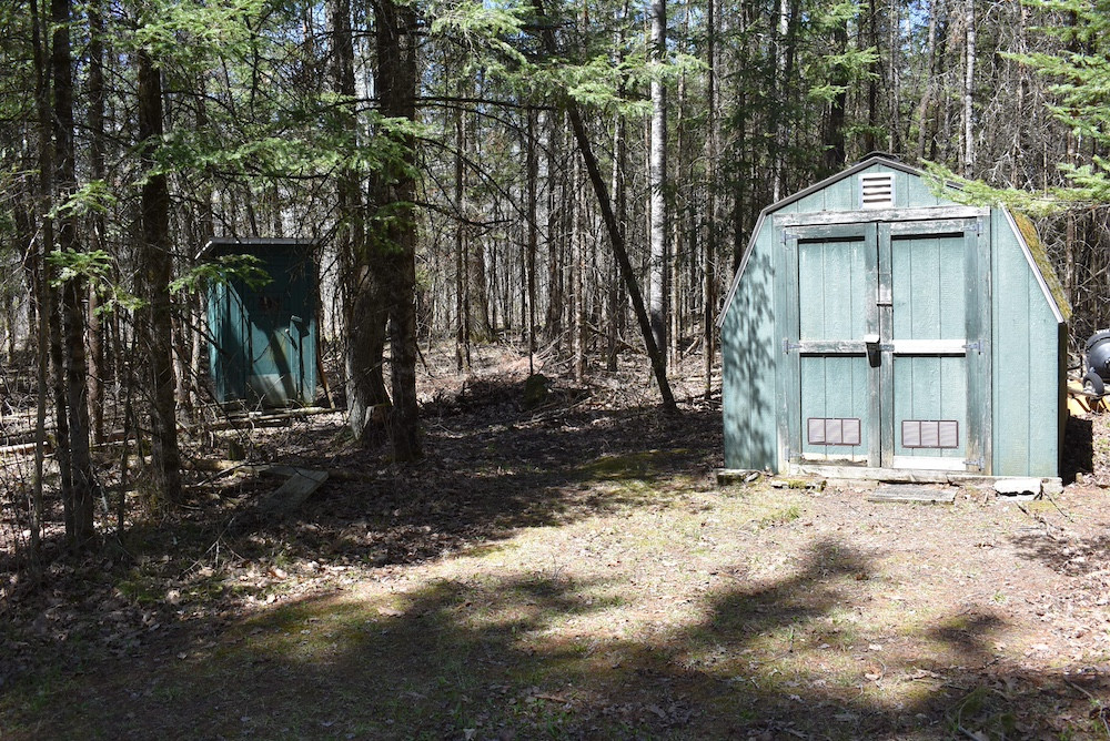
- No well or septic, however there is an outhouse at the property
- A small storage shed will provide a place for your wheelers
- The property is located a short distance from the Menominee River
- The elevation changes over 70 feet from east to west
- Many large oaks are providing acorns
- Nearly 5 acres of open land can be planted with your favorite food plot seeds
Area Links
Other
Coordinates
Annual Taxes


The information contained herein is deemed reliable but is not warranted or guaranteed by the Broker, its Agents, or the Seller. Access to property, access to utilities, or any measurements including but not limited to, acreage, square footage, frontage, and mapping boundary lines shared herein has not been independently verified and is for purposes of marketing only. If exact measurements, access to property, or access to utilities is a concern, the property should be independently measured or investigated by the prospective buyer.
COOPERATING BROKER COMPENSATION: Please contact Listing Agent/Broker for terms of cooperating Buyer Broker compensation. Terms of compensation, if any, shall be ascertained by cooperating brokers before beginning efforts to accept the offer of cooperation. Buyer's Agents/Brokers must be identified, by Buyers and/or their Brokers/Agents, on the first contact with Listing Broker/Agents to receive compensation. Otherwise, compensation will be at the sole discretion of the Seller, Broker, and Whitetail Properties Real Estate, LLC.
Real Estate Commissions and Cooperating Broker Compensation, if any, are fully negotiable and is not fixed or controlled by law, by Whitetail Properties Real Estate, LLC (or any division/trade name/DBA of), or its Agents/Brokers.
The information contained herein is deemed reliable but is not warranted or guaranteed by the Broker or Seller. The Broker (Whitetail Properties) does not assume liability for typographical errors, misprints, nor for misinformation that may have been given to us. All property is subject to change, withdrawal, or prior sale. Whitetail Properties Real Estate, LLC DBA Whitetail Properties, DBA Whitetail Properties Real Estate. In the States of Nebraska & North Dakota DBA Whitetail Trophy Properties Real Estate LLC. Licensed in CO, MN, ND, SD, TN & WI - Jeffrey Evans, Broker. Licensed in FL, KS & MO - Jefferson Kirk Gilbert, Broker. Licensed in TX - Joey Bellington, Broker. Licensed in IN - Dan Bates, Broker. Licensed in AL, MS, LA, - Todd Edwards, Broker. Licensed in TN – Thomas Crutcher, Broker. Licensed in TN & MS- Josh Monk, Broker. Licensed in AR - Anthony Chrisco, Broker. Licensed in NC, SC, VA - Chip Camp, Broker. Licensed in IA, - Richard F. Baugh, Broker. Licensed in IL, MI – Ronnie Strong, Broker. Licensed in IL, MD, WV - Debbie S. Laux, Broker. Licensed in ID, MT, OR, UT, WA, WY & NV, AZ - Aaron Milliken, Broker. Licensed in NY - John Myers, Real Estate Broker. Licensed in OK - Dean Anderson, Broker. Licensed in KY, ME, NH, NM & VT - Derek Fisher, Broker. Licensed in OH - Jeremy Schaefer, Principal Broker. Licensed in NE - Jason Schendt, Broker. Licensed in PA- Jack Brown, Broker. Licensed in GA – Grantson Martin, Broker.