Sullivan County
Sullivan County Creek Bottom Hunting Land With Access Trails
WP00 State Route 209,Lot#WP001 Wurtsboro, NY 12790
Media


Description
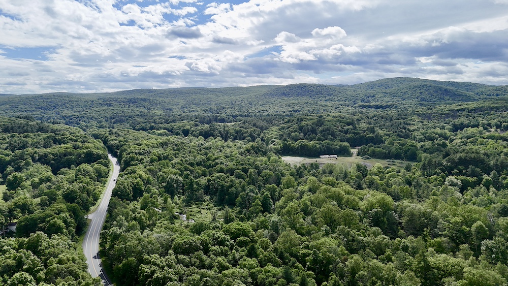
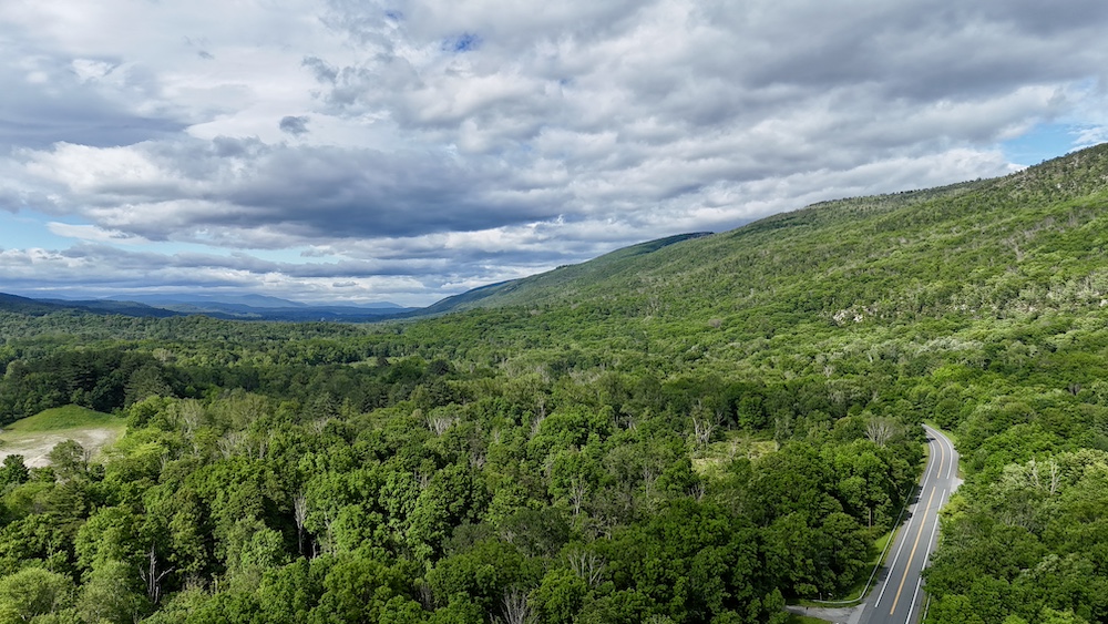
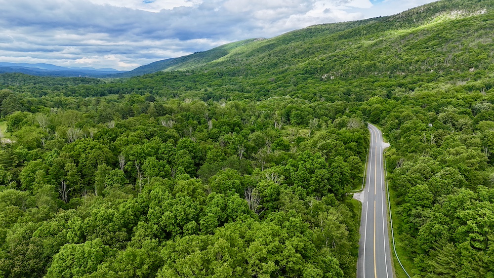
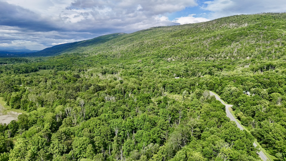
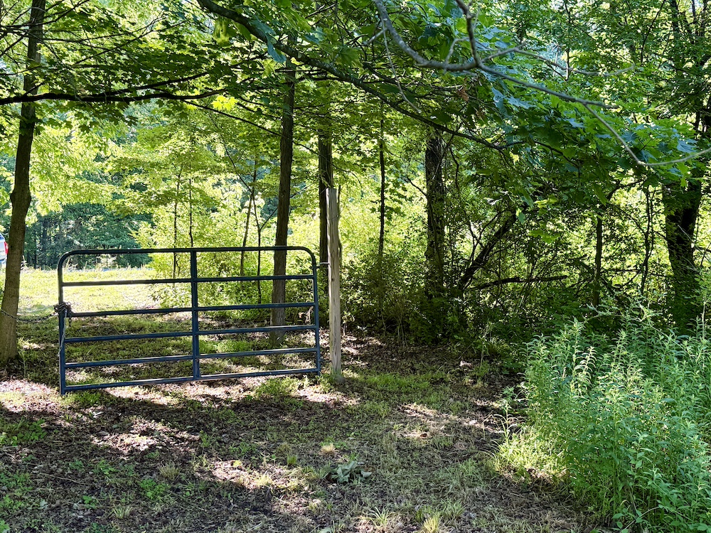
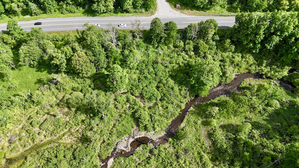
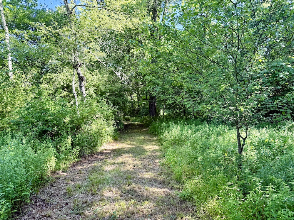
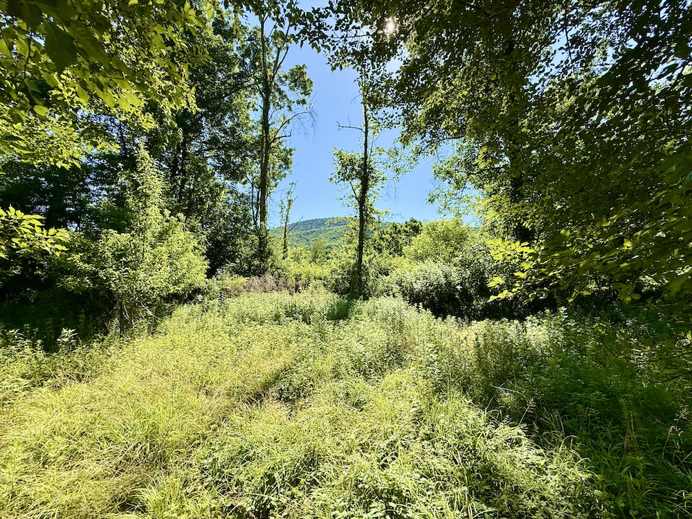
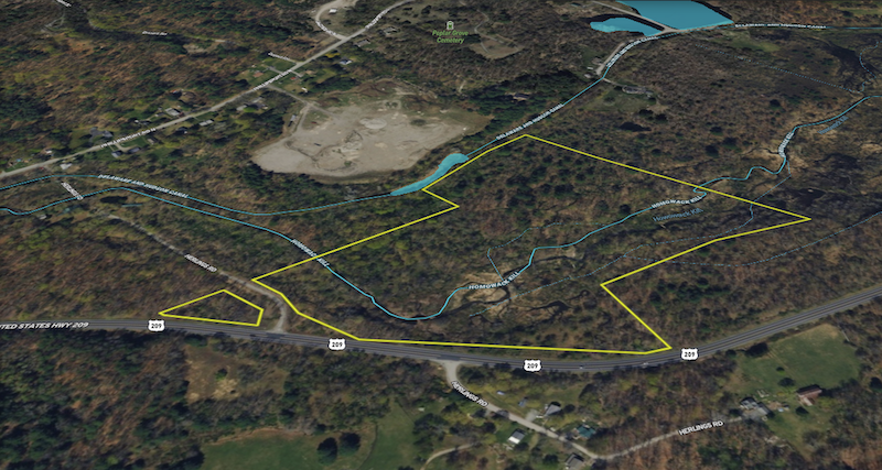
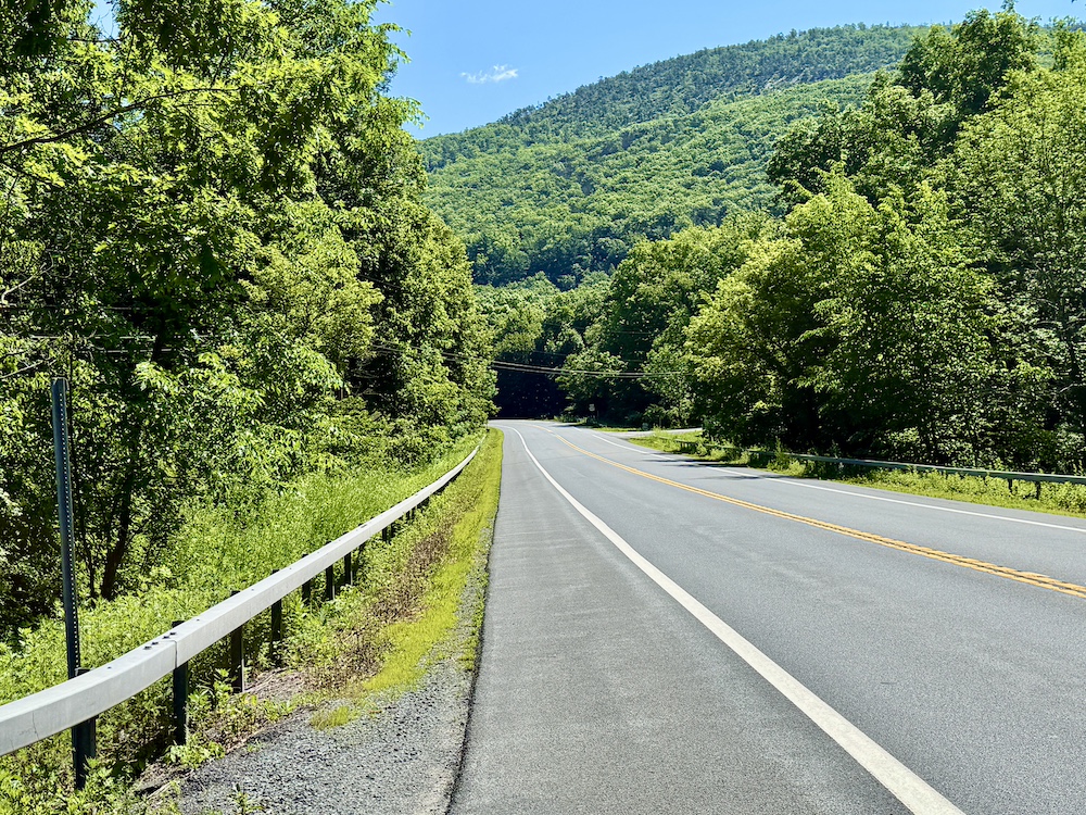
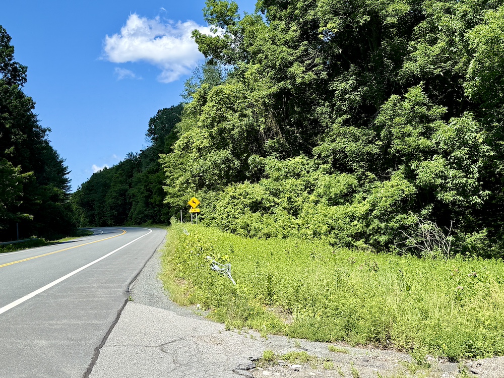
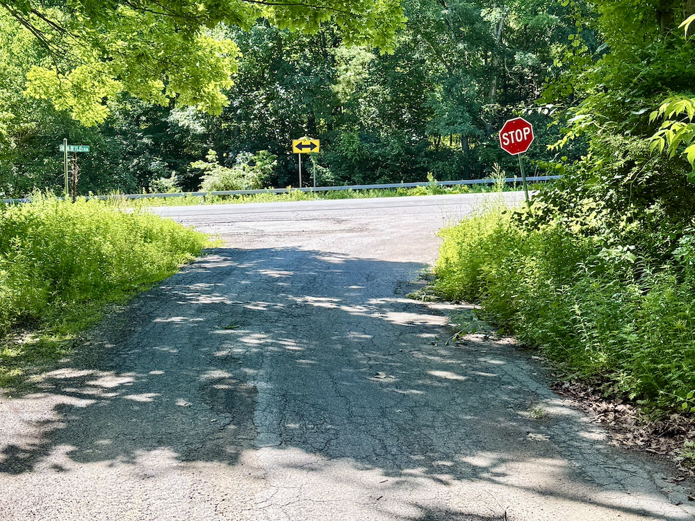
Located along Route 209 in Sullivan County, New York, this 32± acre creek bottom hunting property offers a diverse landscape with a strong mix of habitat, access, and surrounding land features. The property includes approximately 930 feet of road frontage on Route 209 and is further complemented by frontage along Herlings Road, where the land extends across both sides of the roadway. An established access gate is positioned on the northeastern portion of the property, providing an entry point into an existing trail system.
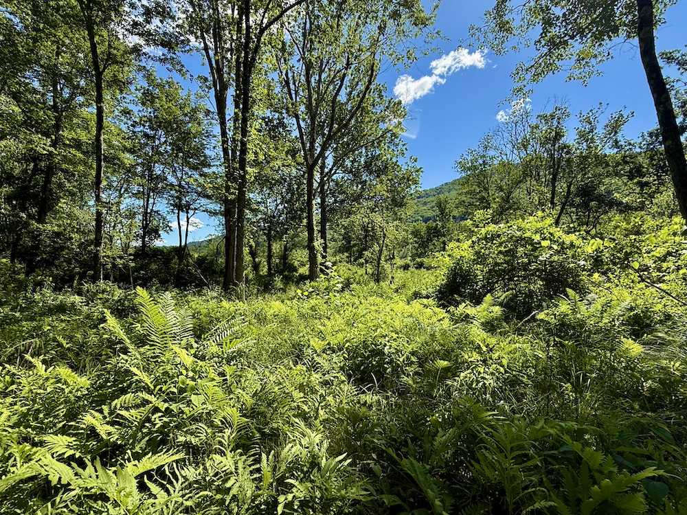
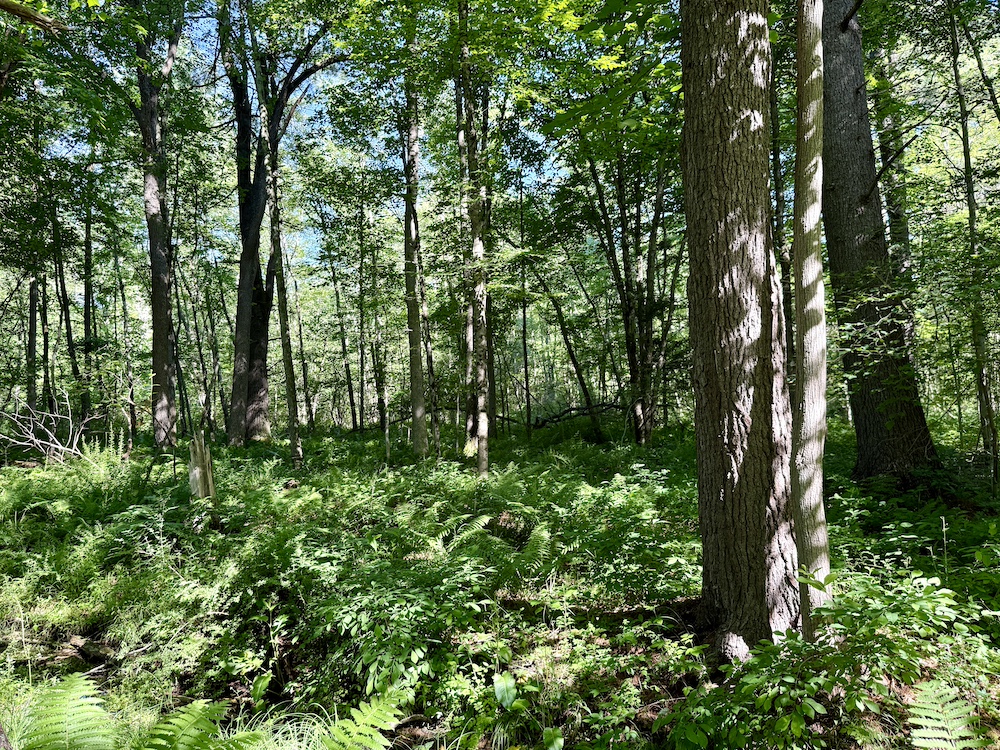
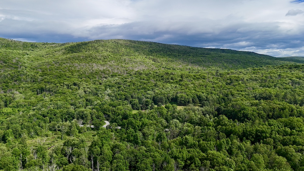
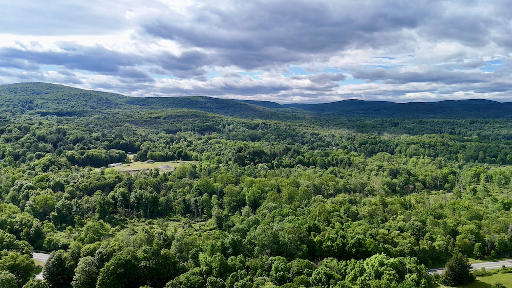
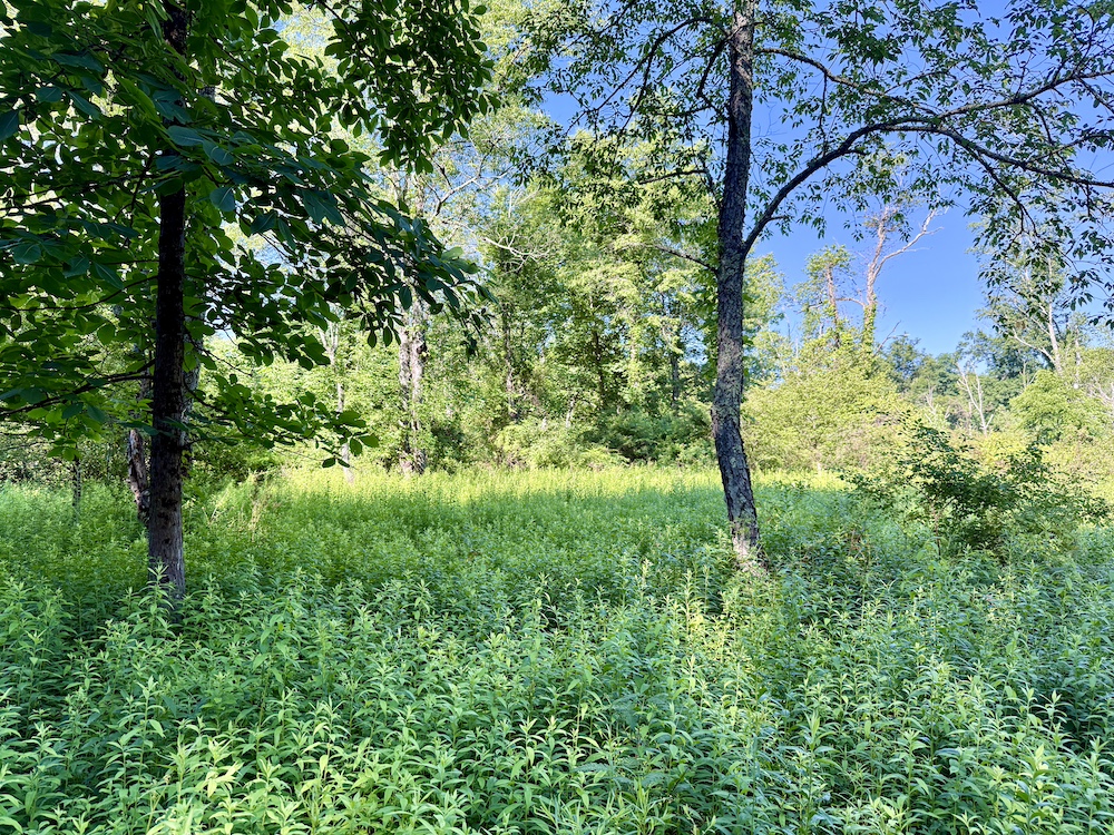
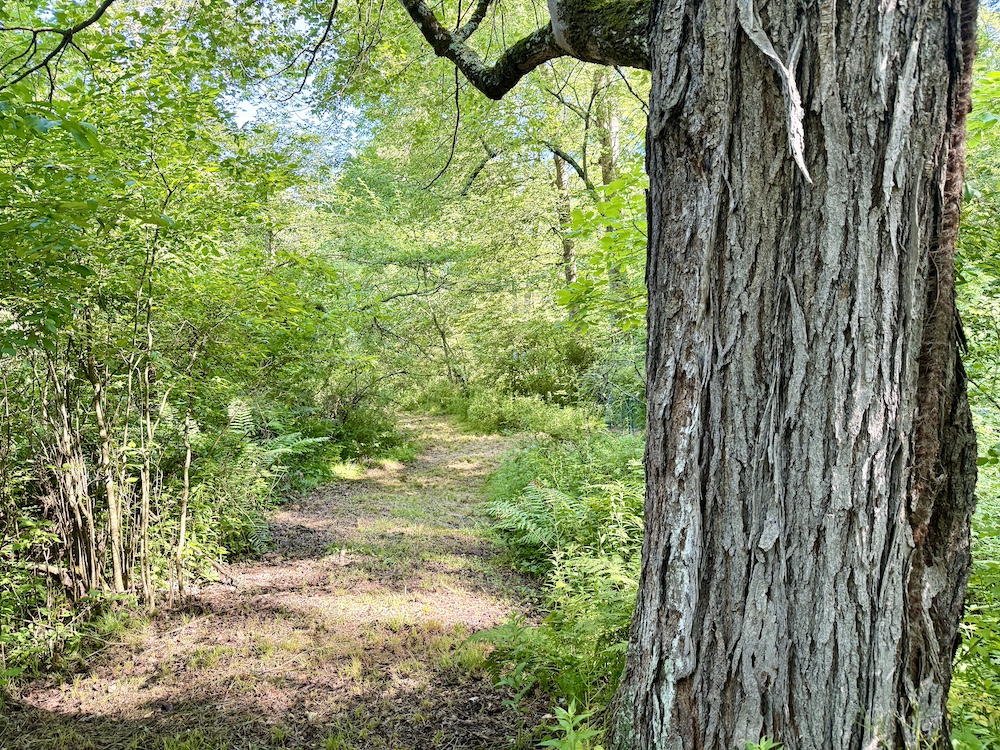
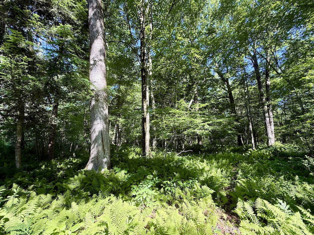
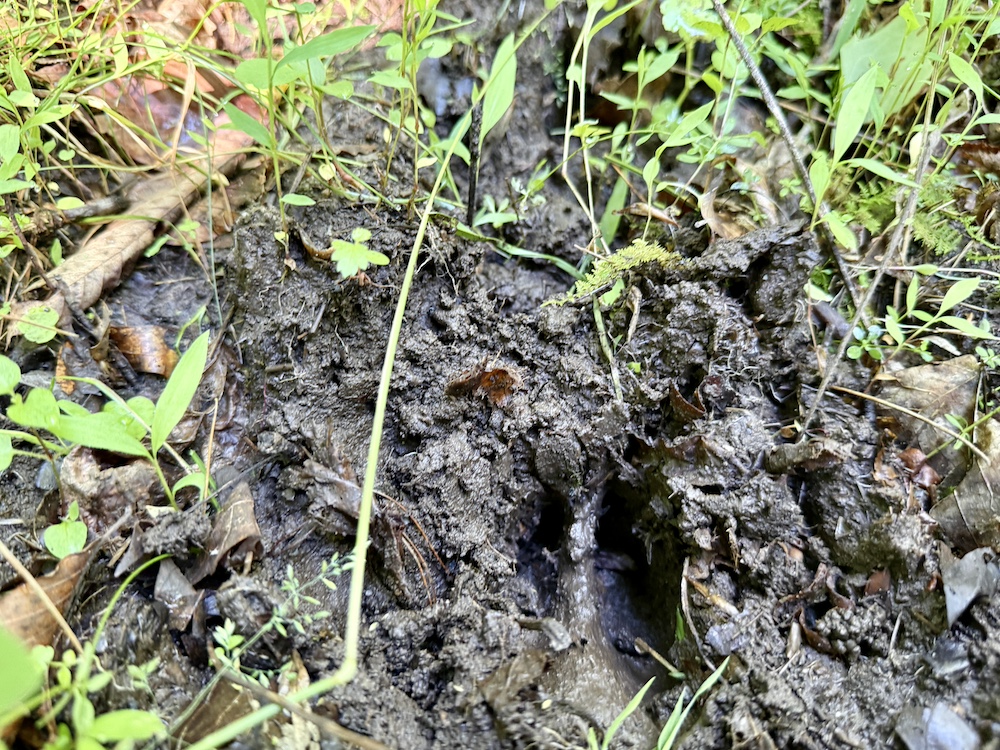
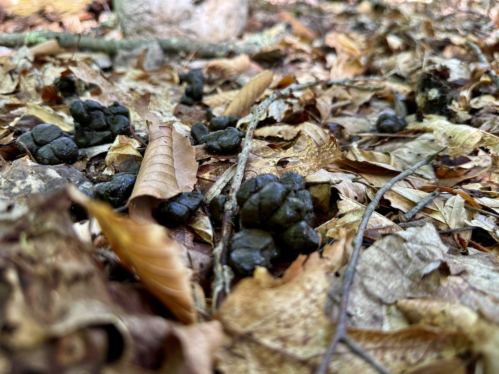
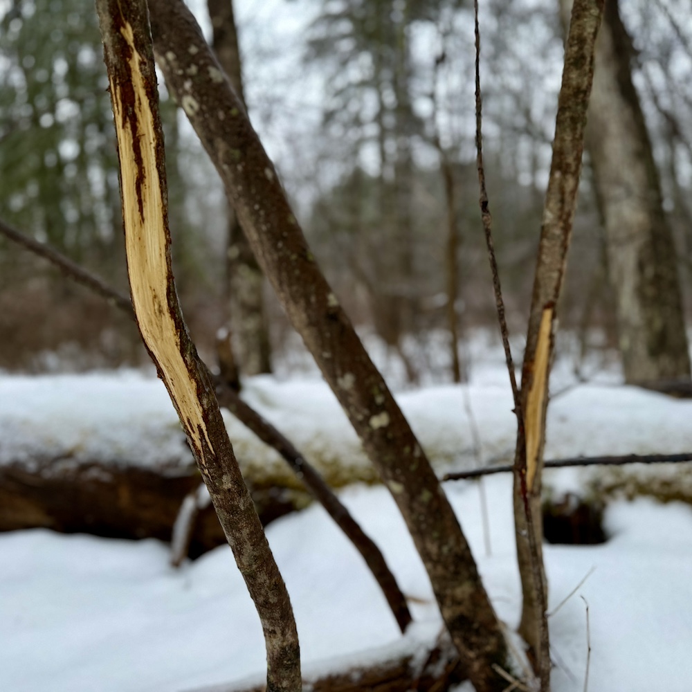
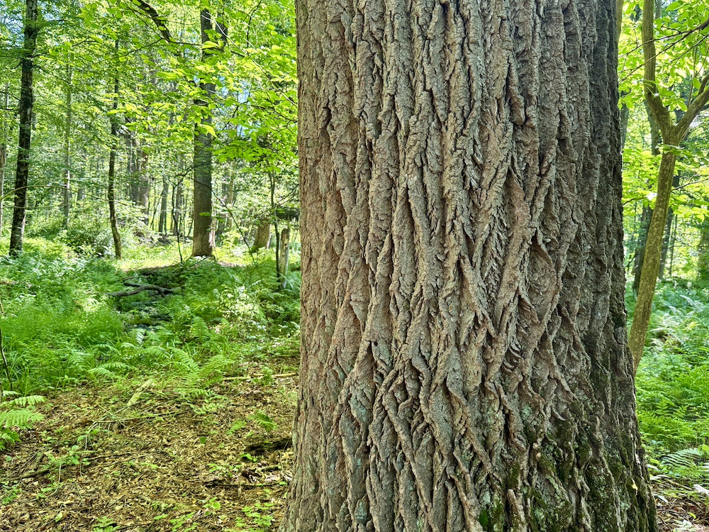
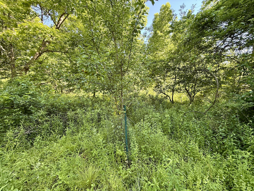
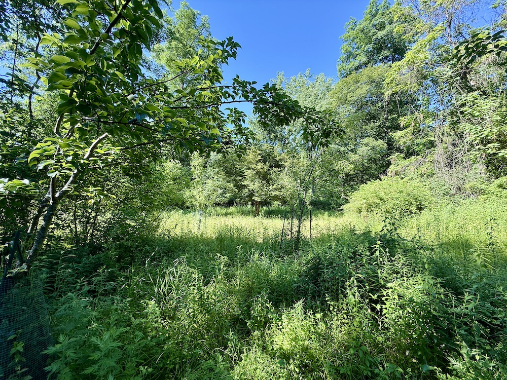
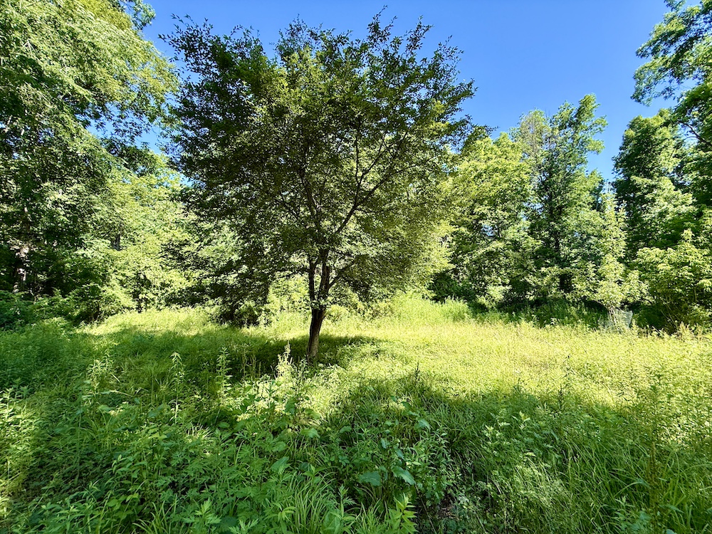
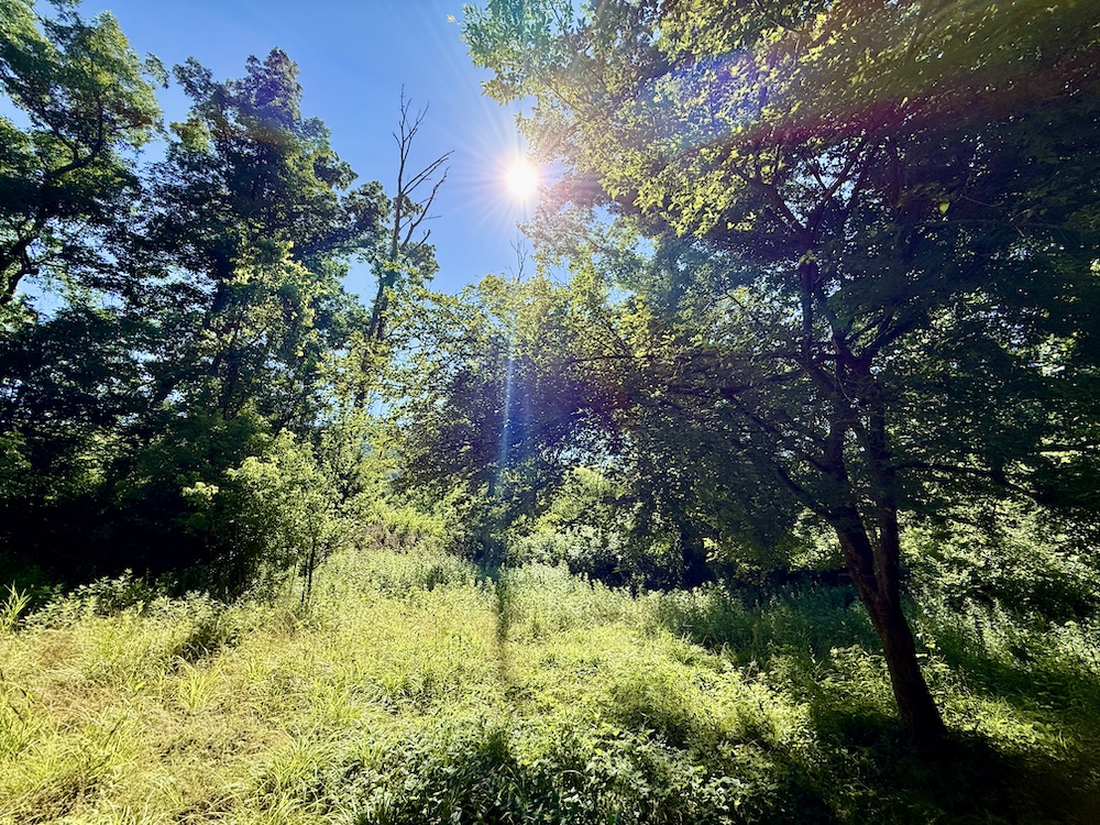
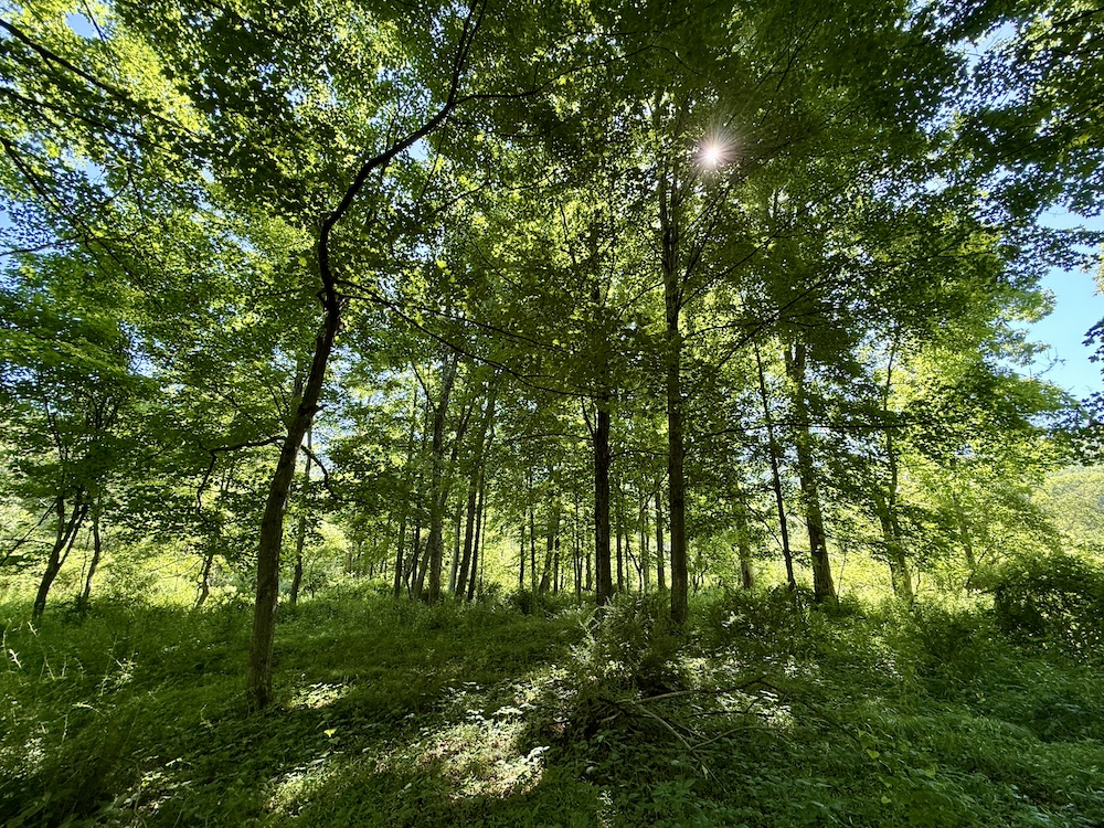
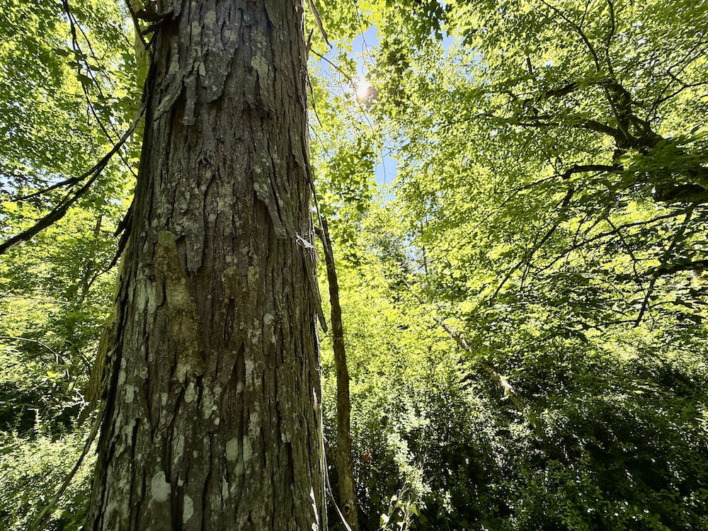
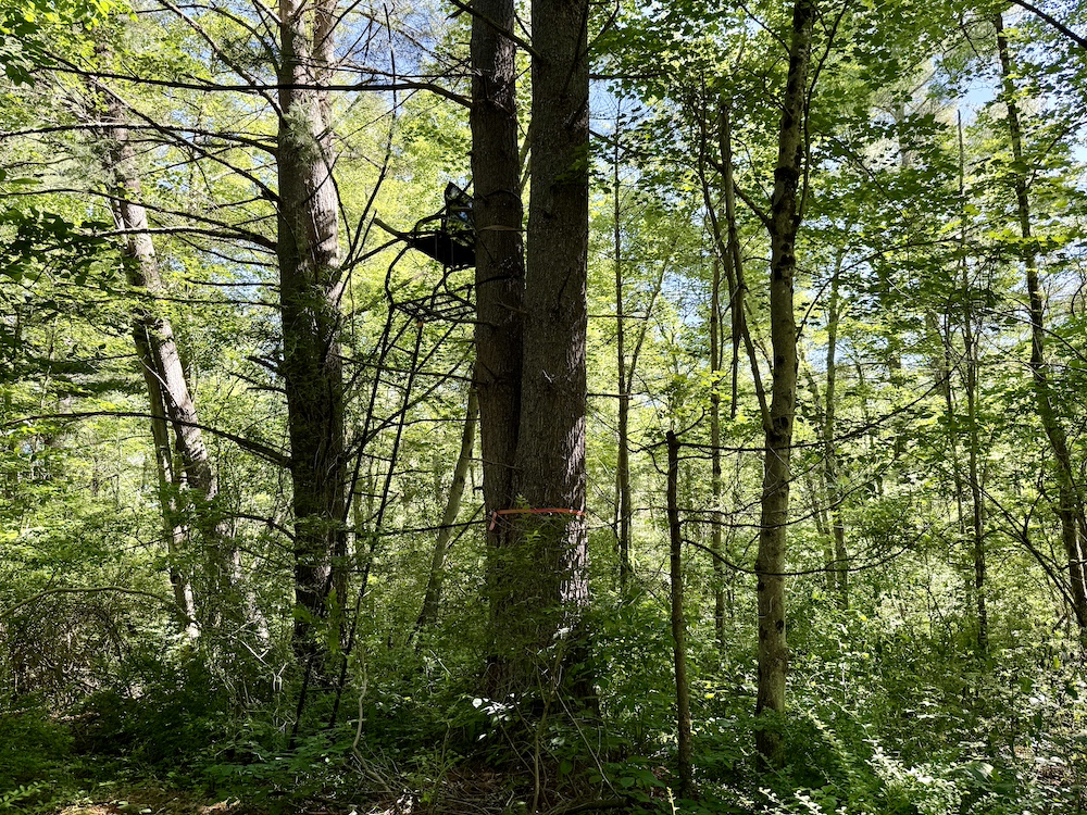
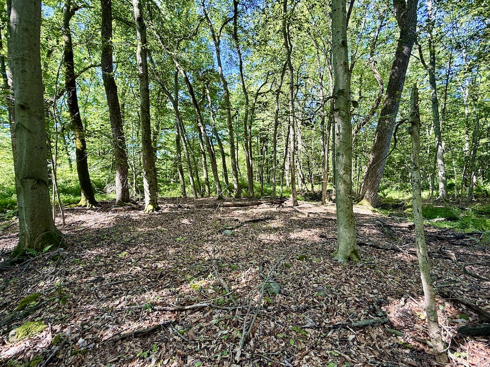
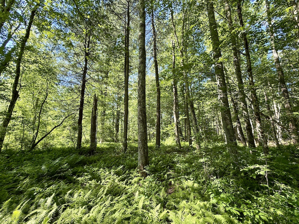
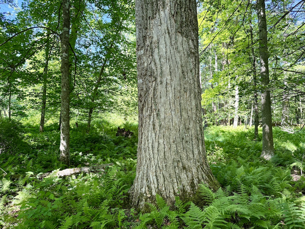
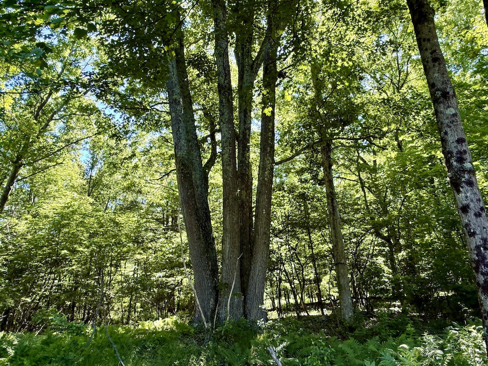
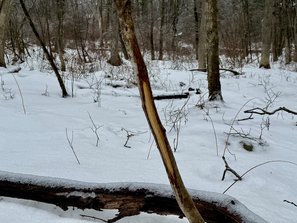
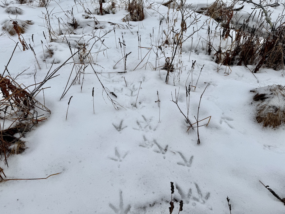
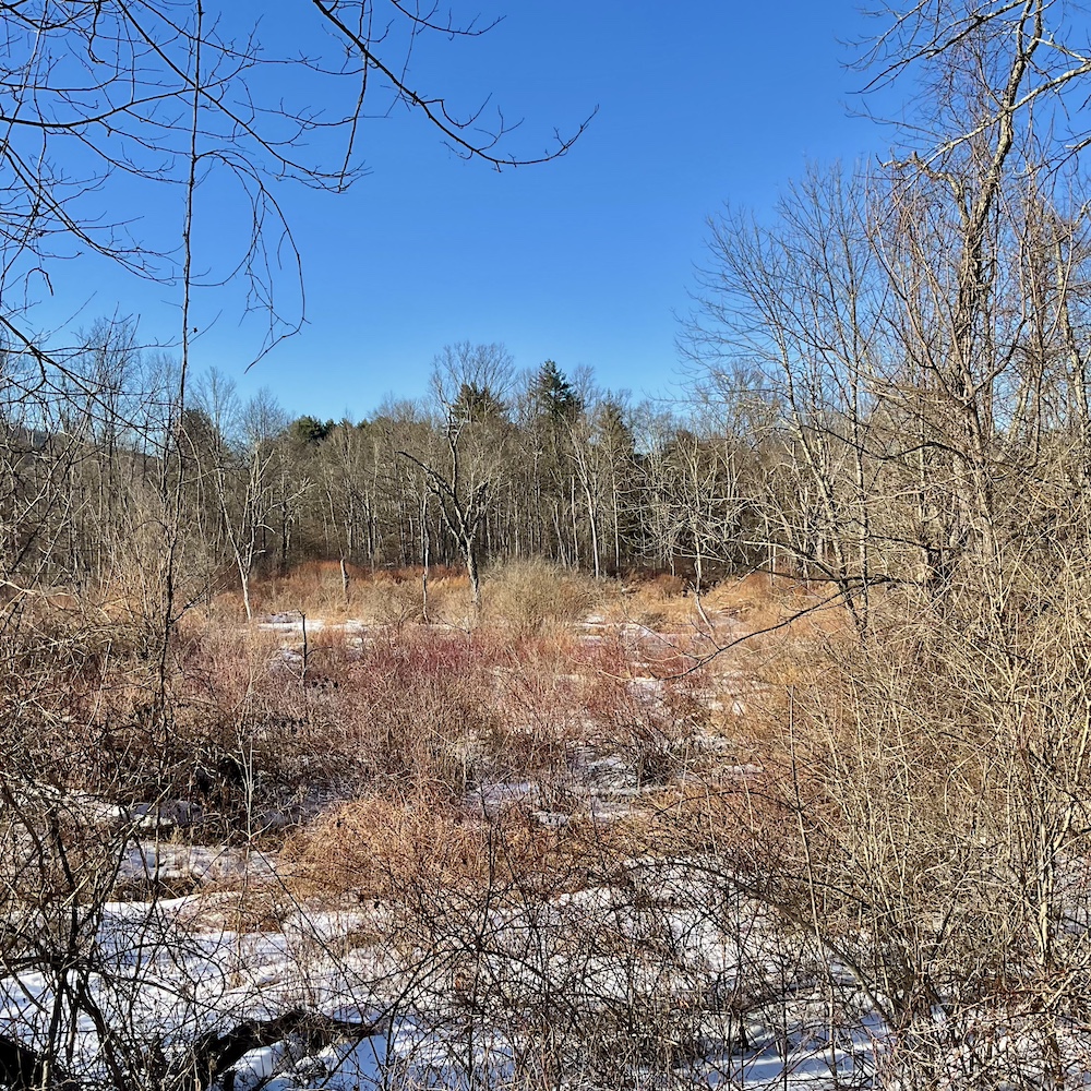
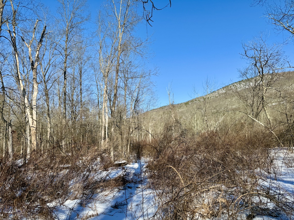
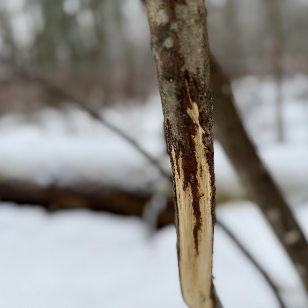
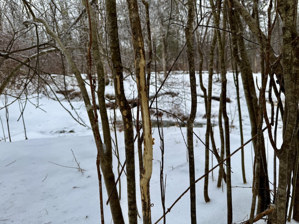
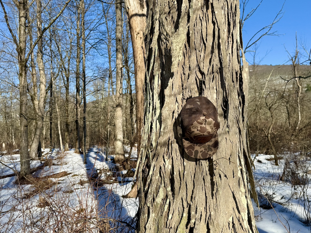
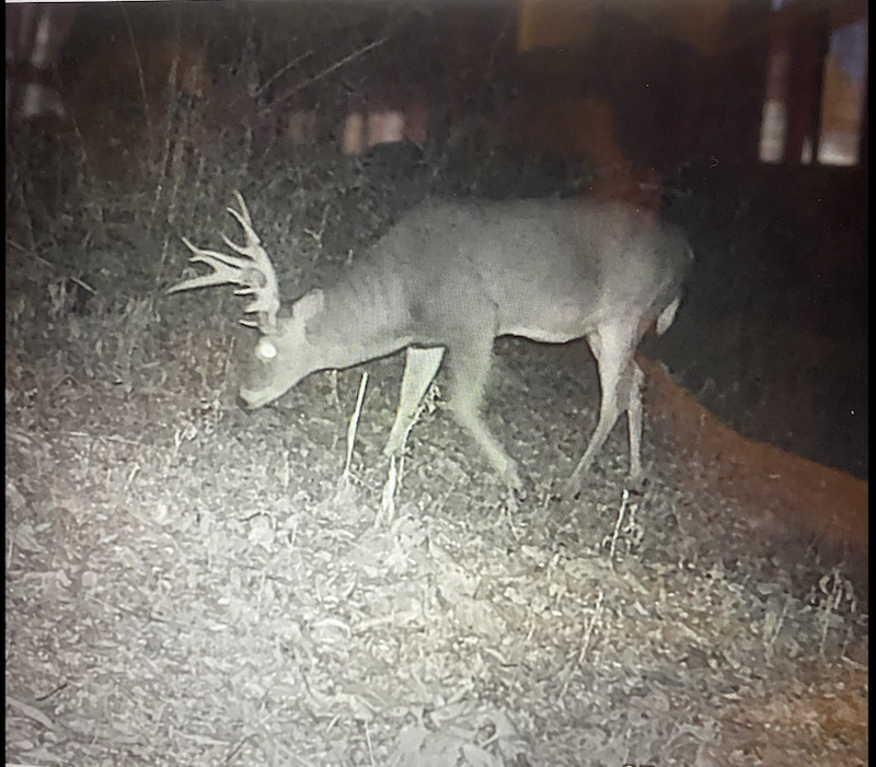
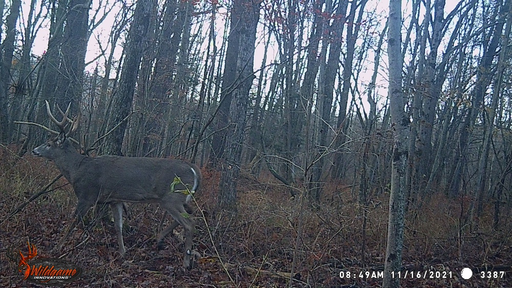
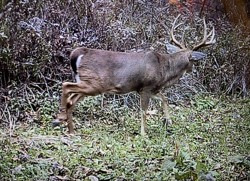
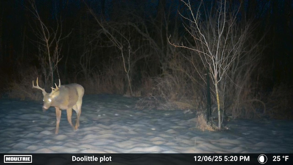
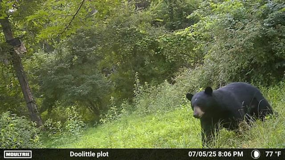
The internal trail network allows for navigation throughout the property and provides access to four established stand locations. The terrain consists of a combination of creek bottoms, wetlands, and wooded areas, creating a varied landscape that supports a range of wildlife species, including whitetail deer, bear, and turkey.
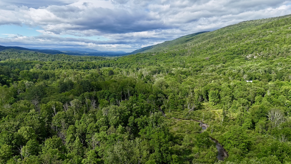
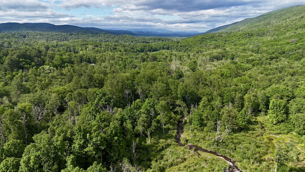
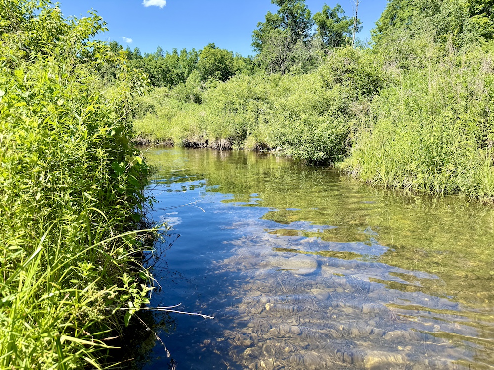
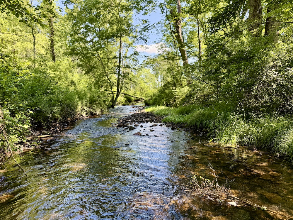
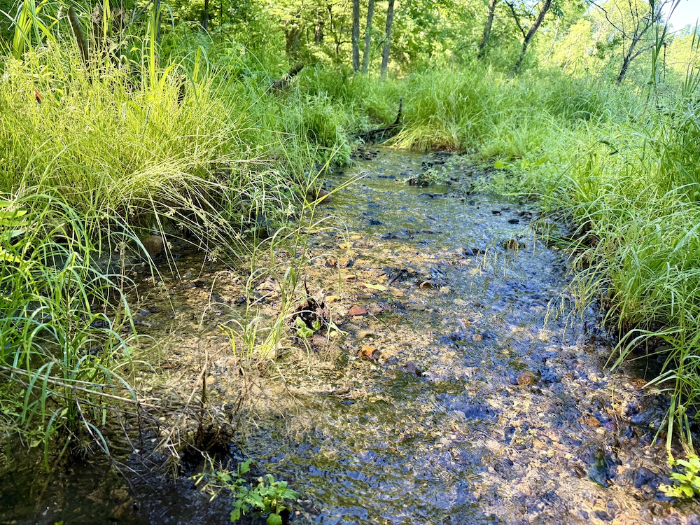
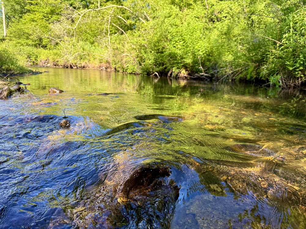
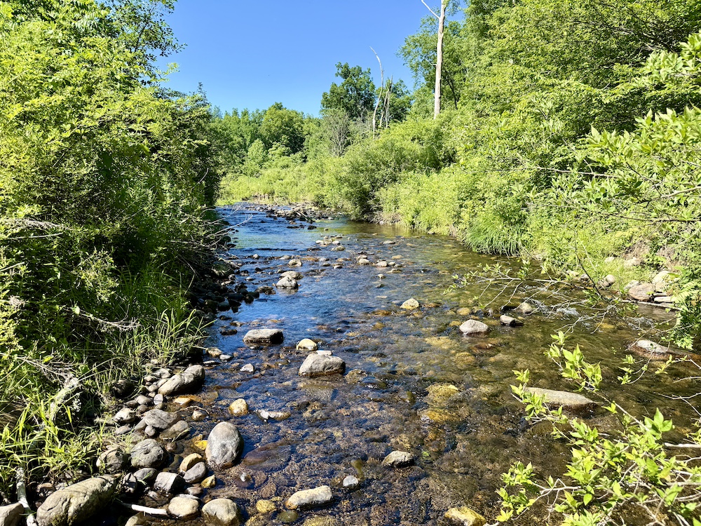
A defining natural feature of the property is the presence of multiple seasonal streams along with the Homowack Kill, a year-round waterway that flows through the land. These water features wind through the wetland areas and contribute to the overall ecological diversity of the property. The Homowack Kill is recognized as a coldwater stream and has been associated with species such as brook trout, brown trout, and rainbow trout, along with other fish species typical to the region.
The surrounding land ownership further adds to the setting. The northwestern corner of the property borders land owned by Sullivan County, supporting the Delaware and Hudson Canal corridor. To the north, the property borders land owned by the “New York DEC People of the State of New York.” Across Route 209 to the west, there is a combination of state-owned lands and Open Space Institute Land Trust. Buyers are encouraged to contact the appropriate agencies to understand permitted uses, access, and any applicable restrictions on these neighboring lands.
The combination of water features, trail access, road frontage, and adjacent State Land contributes to the overall usability of the property for outdoor recreation. This property presents an opportunity to own acreage in a location with multiple access points, natural water resources, and proximity to over a thousand acres of state-owned land. Its layout and characteristics make it a great hunting and recreation property for you and your family to enjoy for years to come.
This sale consists of four parcels, being sold AS IS. Two of the lots will convey with a bargain and sale deed, and two of which will convey with a quitclaim deed. If the purchaser desires the two parcels to be conveyed with anything other than quitclaim deeds, a full title search and survey may be required.
This property is priced to sell, don’t miss out on this opportunity. Call the listing agent today to schedule a private showing of the unique property.
The seller is requiring all potential buyers to show proof of funds or a pre-qualification letter to the listing agent in order to schedule all showings. All showings are to be scheduled with the listing agent. The seller is requiring all potential buyers and their agents or brokers to sign a hold harmless agreement before entering the property. All buyers are to be accompanied by a Real Estate Salesperson or Broker during all showings. Buyers are not permitted to go to the property alone.
Summary
Address
Approximate Distances
Property
Improvements/Features
Small Game, Big Game, Predators, Waterfowl, Fish, Creek/Spring, Wetlands, Food Plot, Tree Stands/Blinds, Trail Network, Seller's Mineral Rights Convey
Details
- Wetland and creek bottom habitat
- Homowack Kill
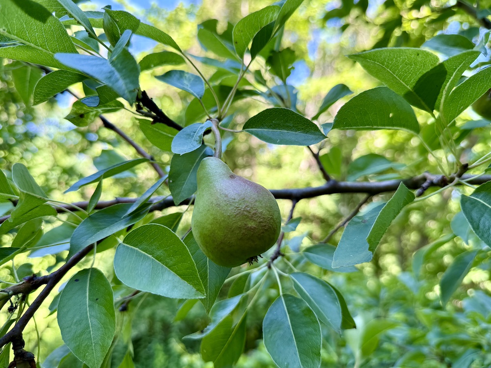
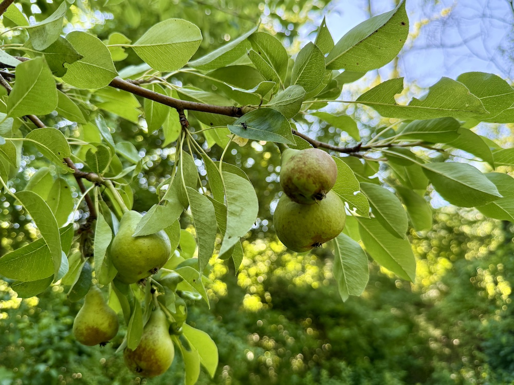
- Fruit trees
- Food plot
- Tree stands
- Trail access
- Supports deer, turkey, bear, and other wildlife
- Borders Delaware Hudson Canal
- Borders NYS Land
Other
Coordinates
Annual Taxes

Nearby Related Properties
Stay Connected
Be Part of a Thriving Land Community!
Get the same expert advice, property strategies, and land management tips that thousands of landowners trust. Subscribe now and stay ahead in the market.