Nash County
Versatile Farm Between Nashville And Red Oak (Lot 3)
0 James Road, Lot#WP003 Nashville, NC 27856
Media

Description
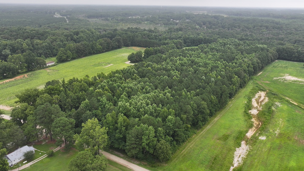
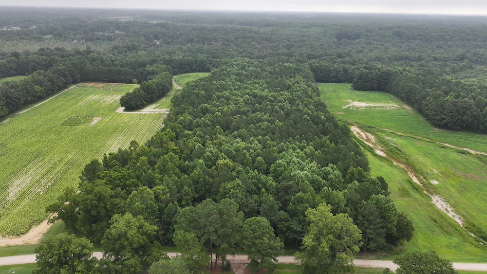
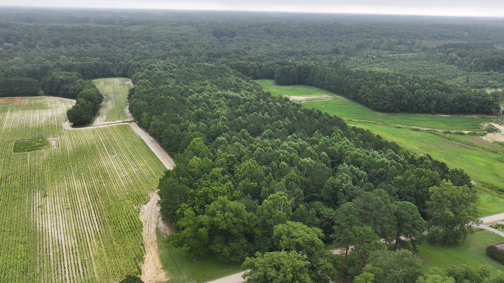
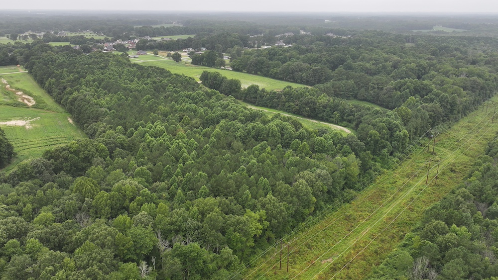
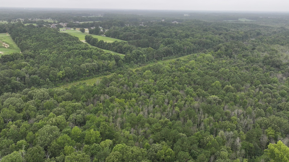
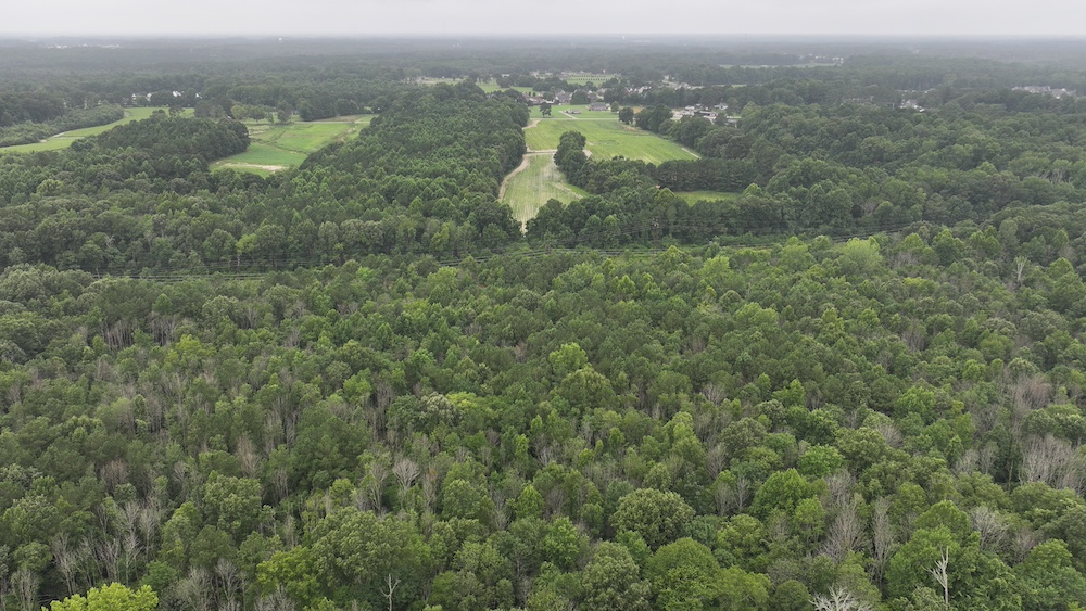
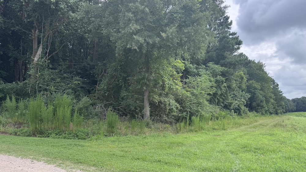
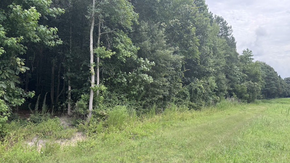
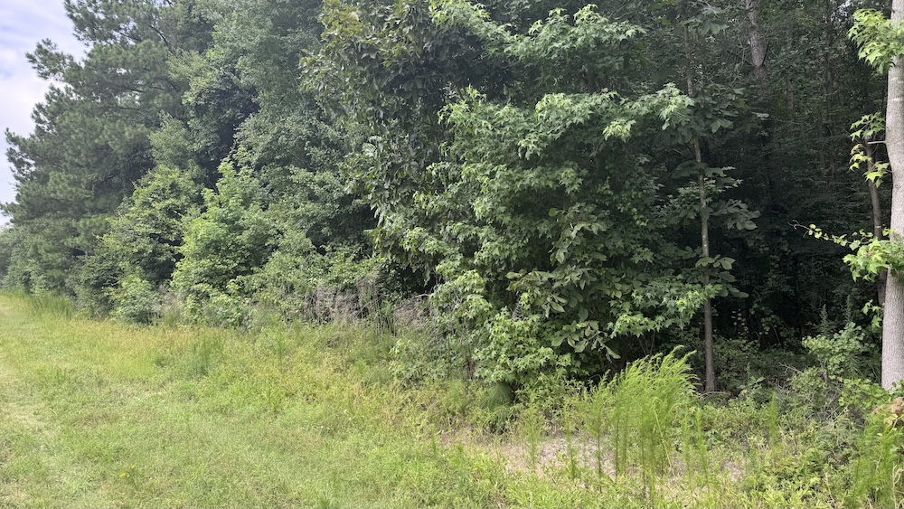
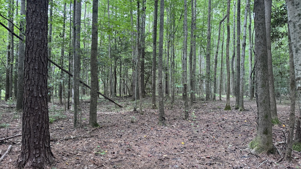
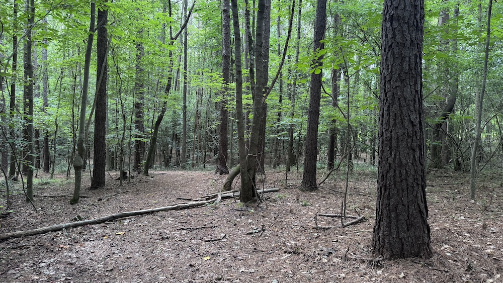
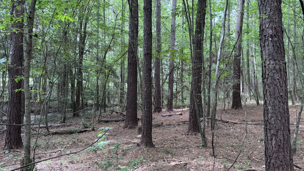
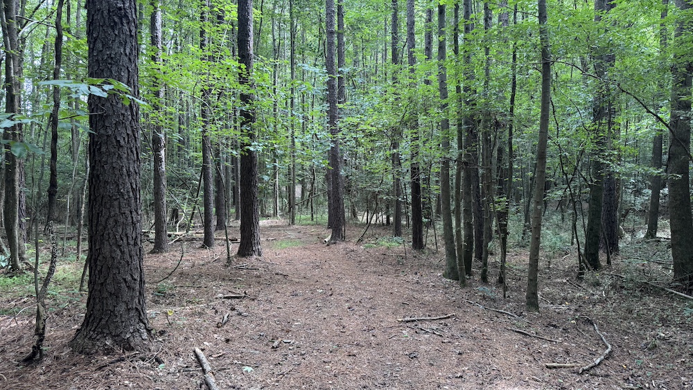
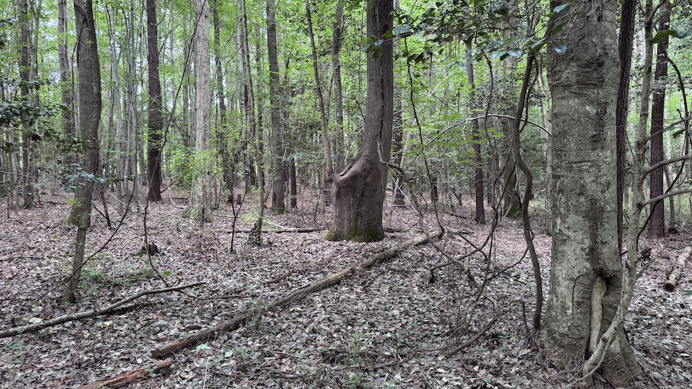
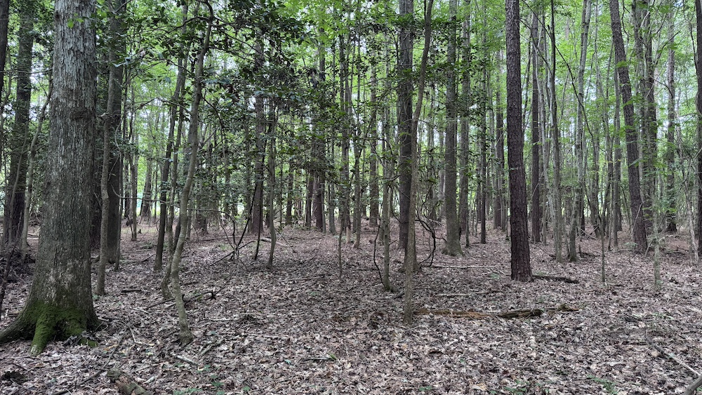
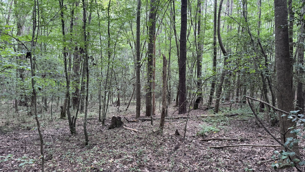
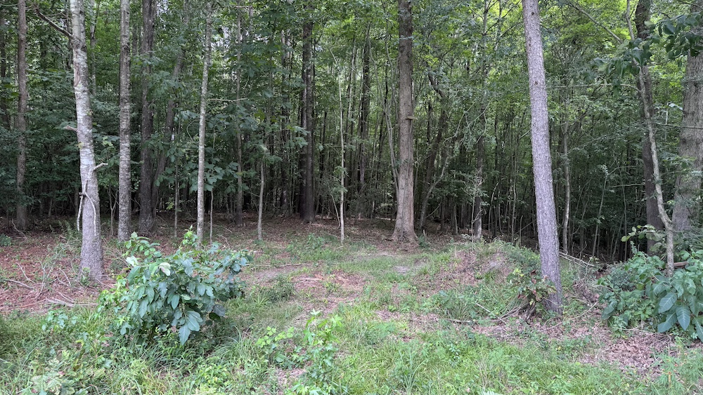
This beautiful wooded tract, ideally situated between Nashville and Red Oak, offers a rare combination of timber value, recreational appeal, and future homesite potential.
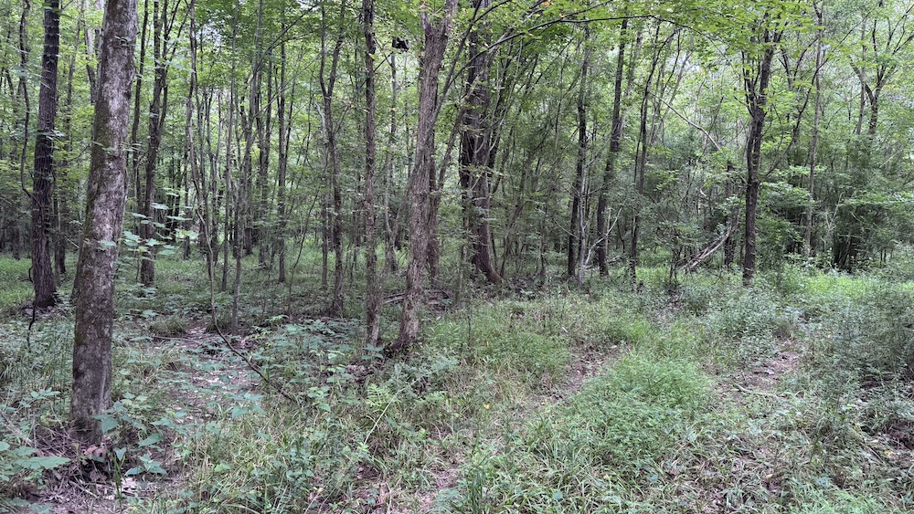
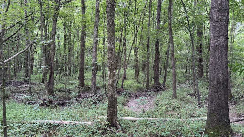
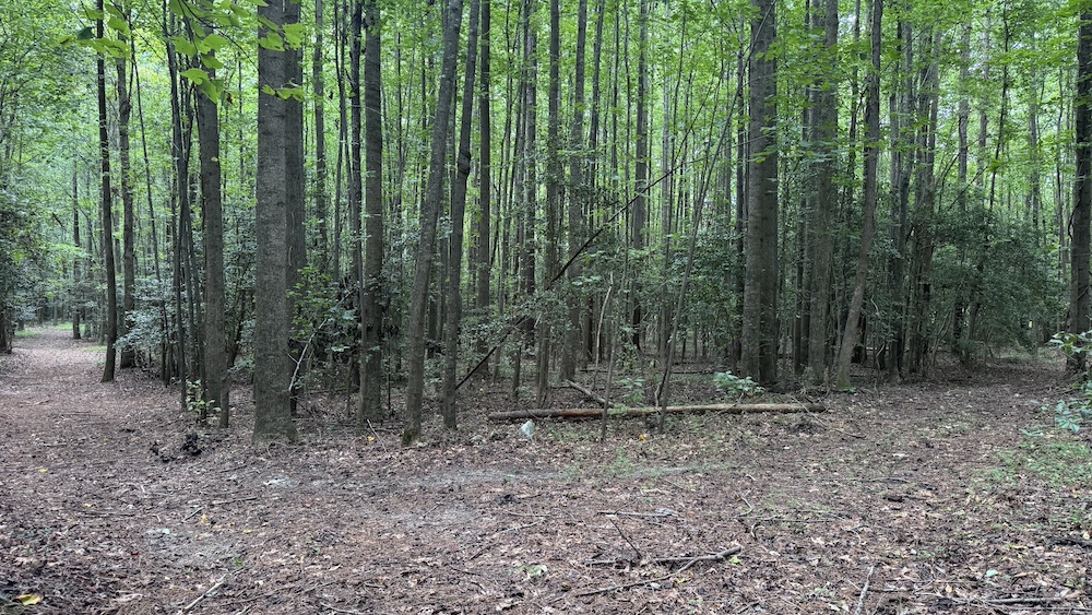
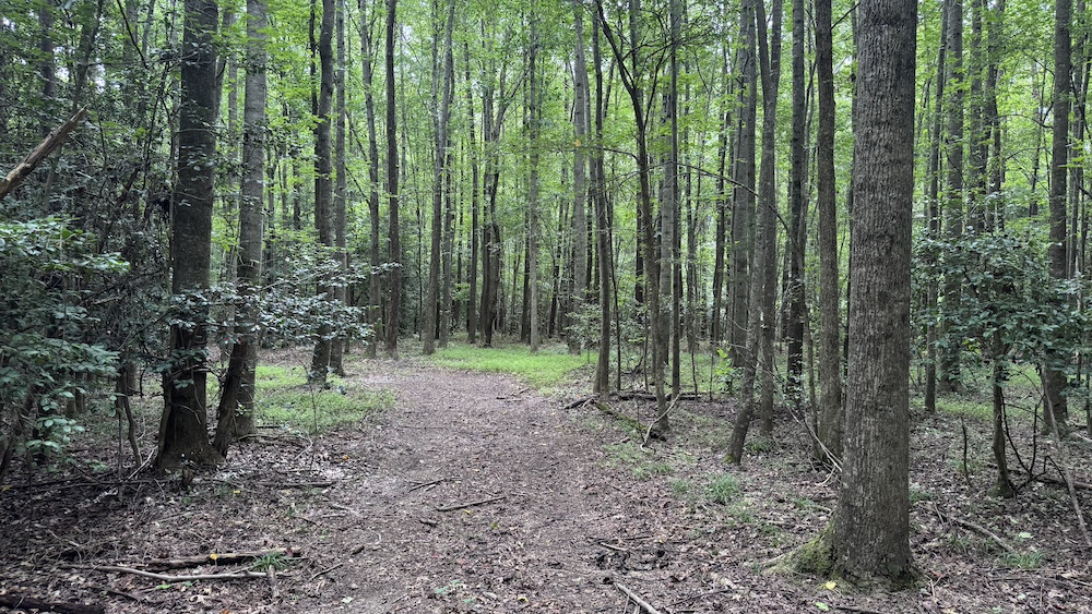
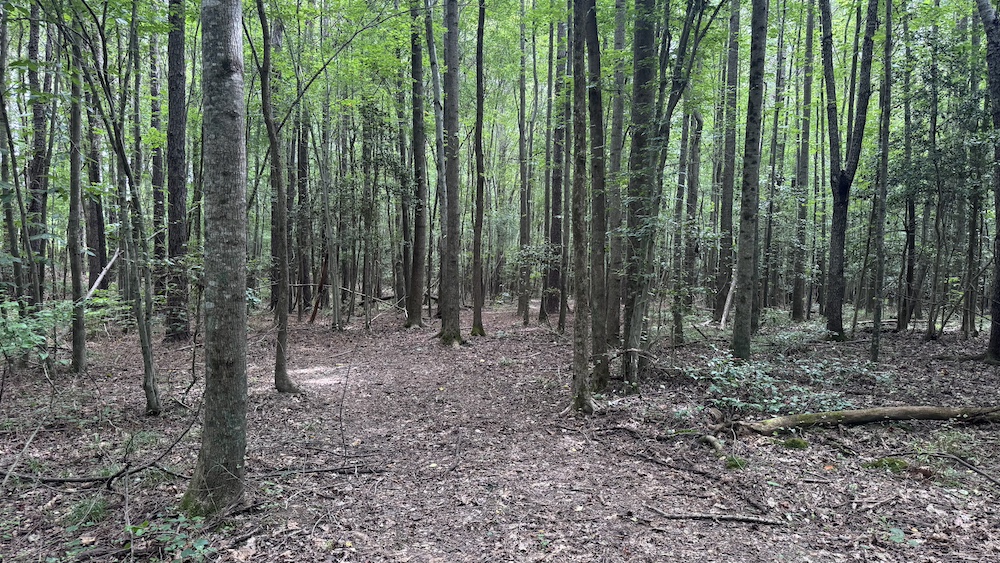
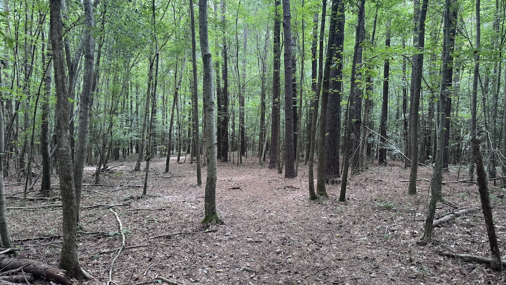
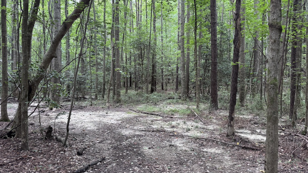
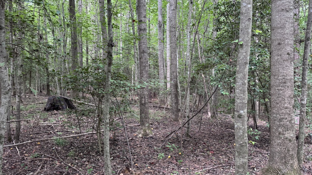
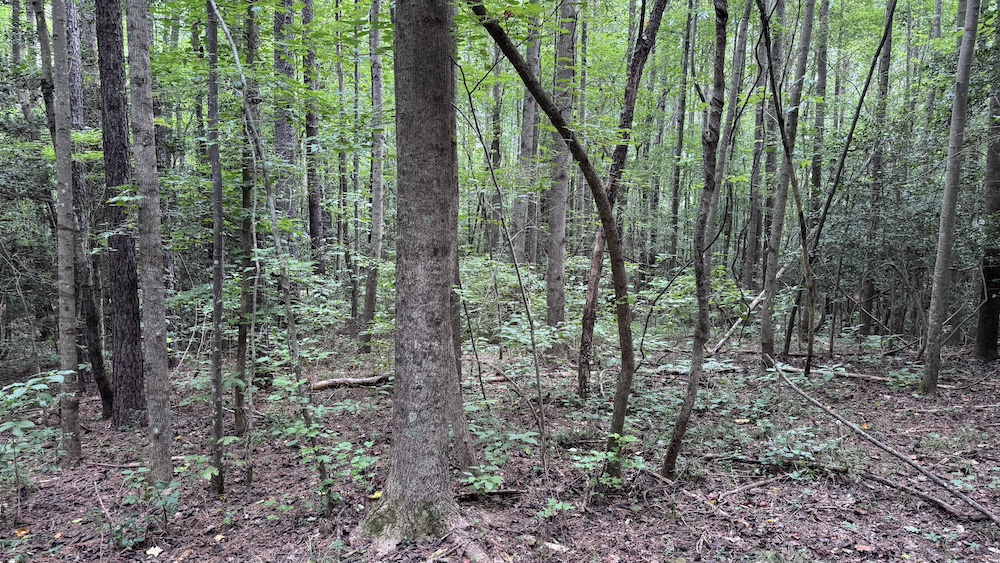
The property features a diverse and healthy mix of hardwoods and softwoods, with a forestry management plan available upon request, making it an attractive option for both investors and nature lovers.
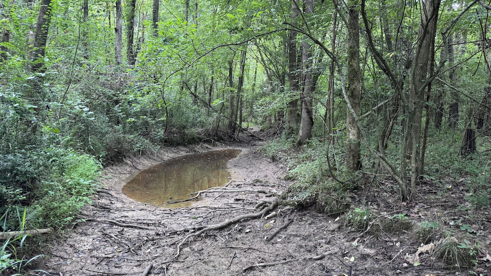
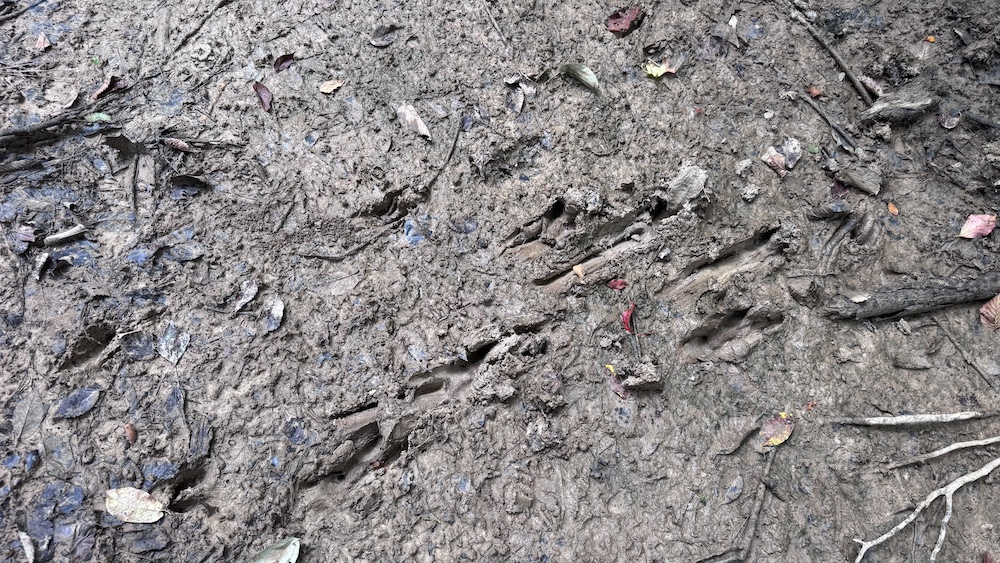
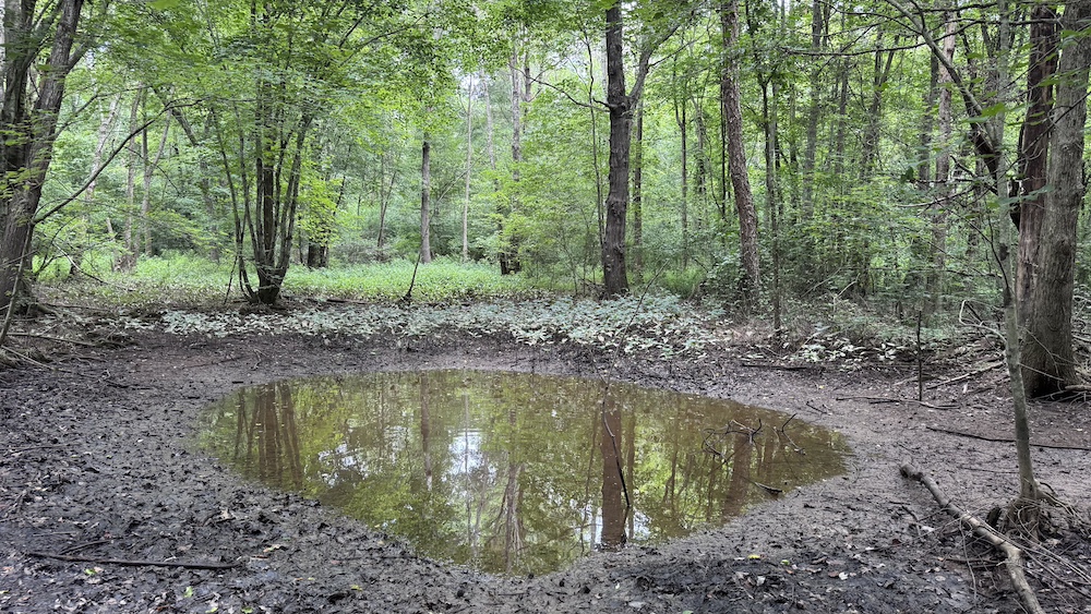
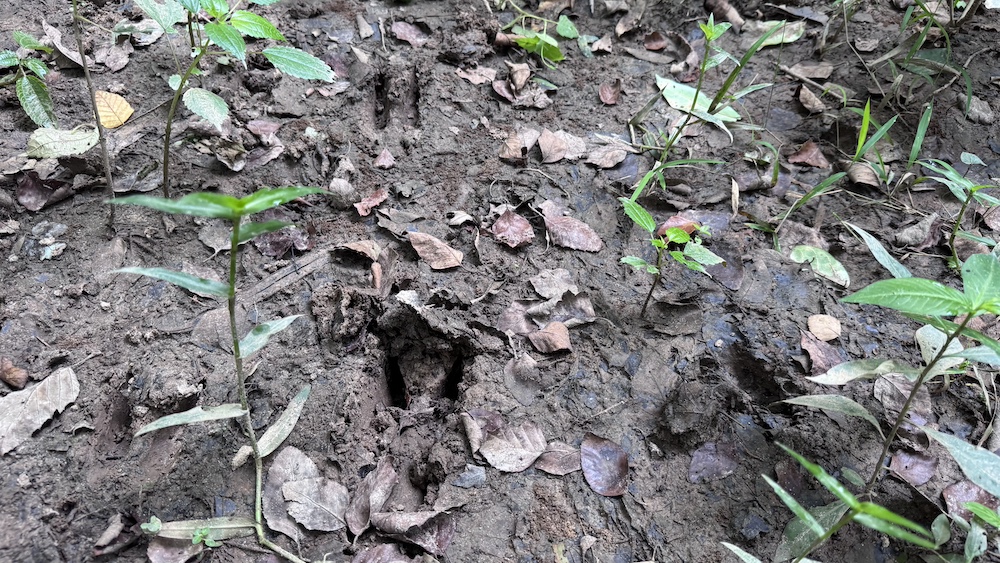
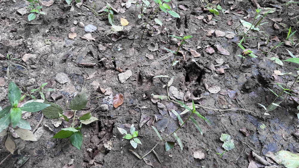
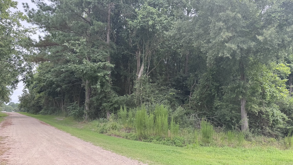
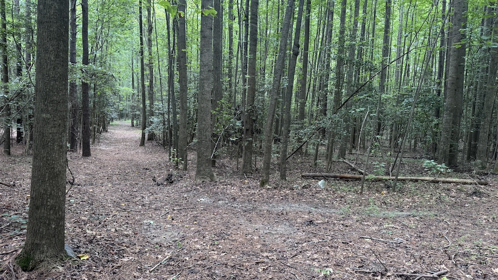
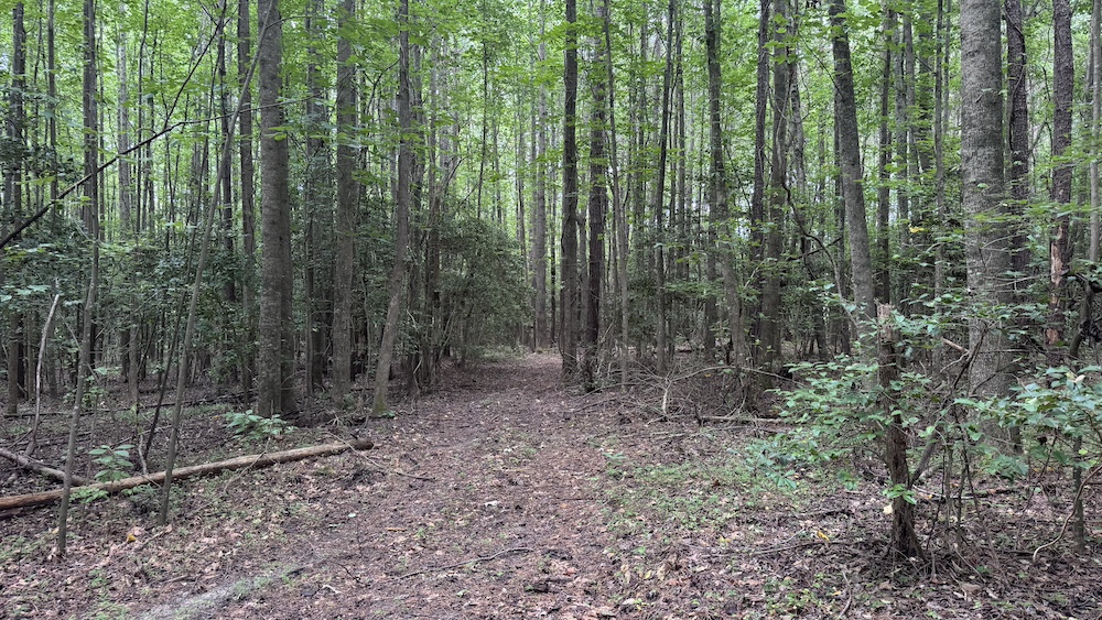
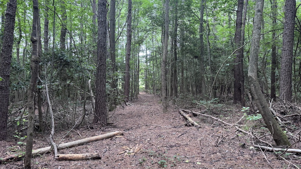
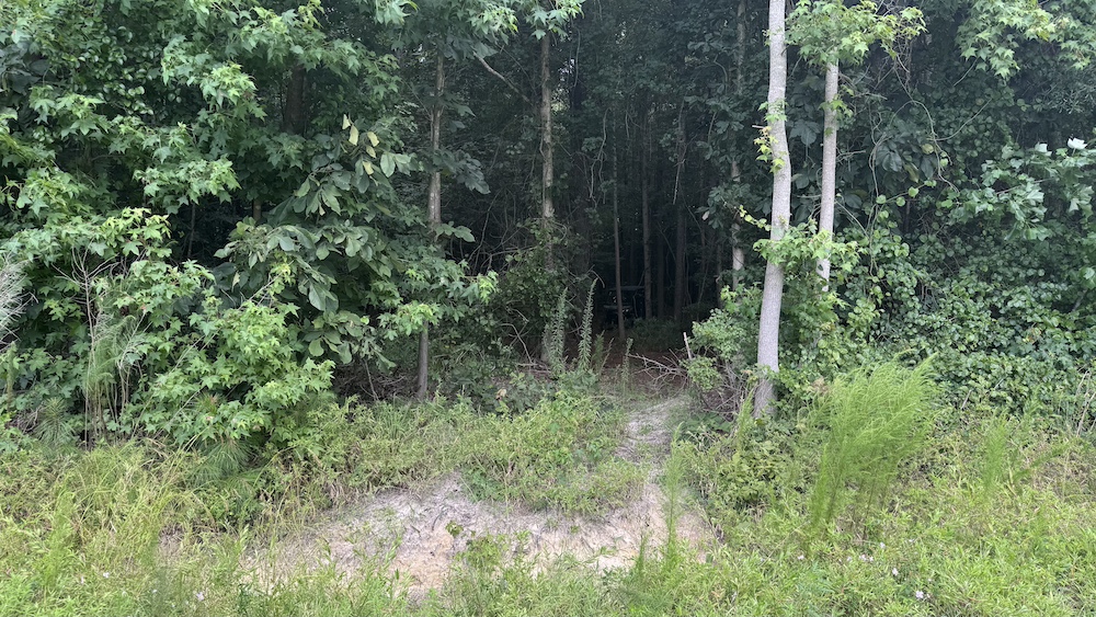
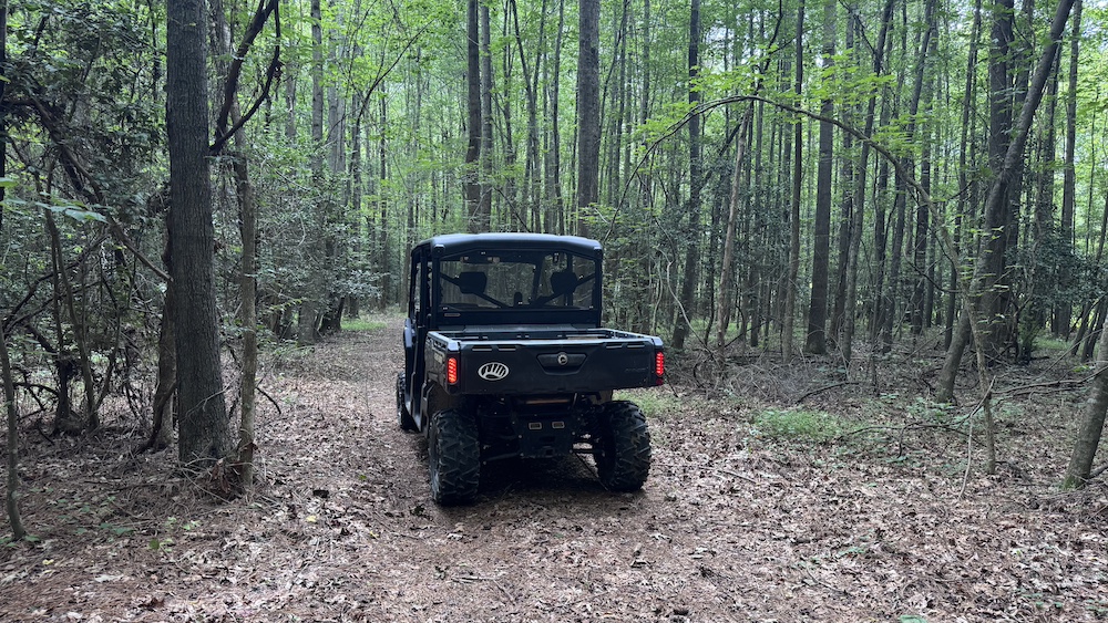
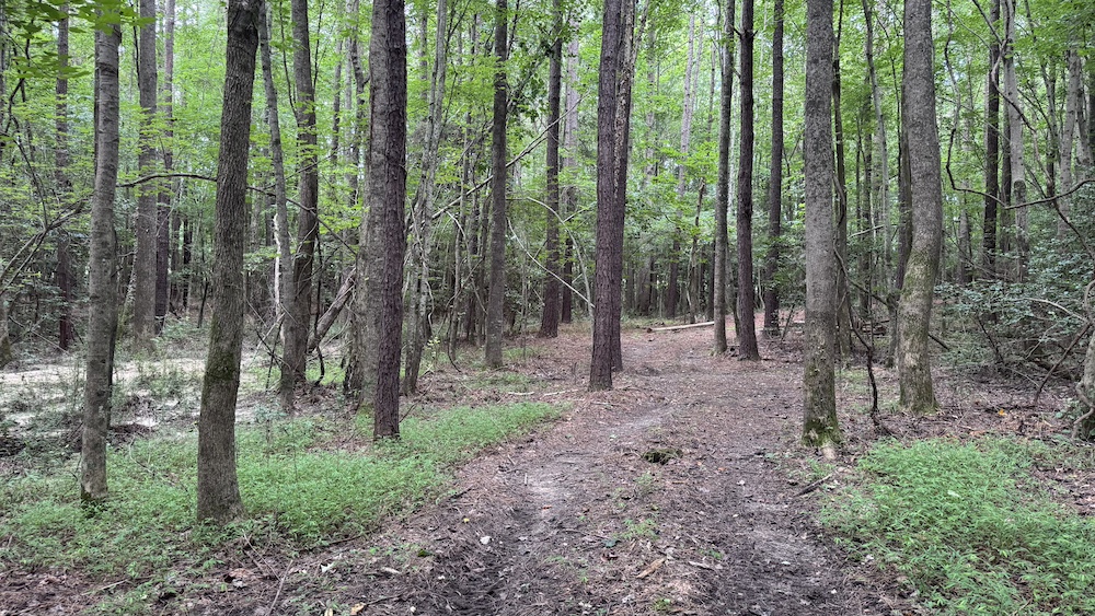
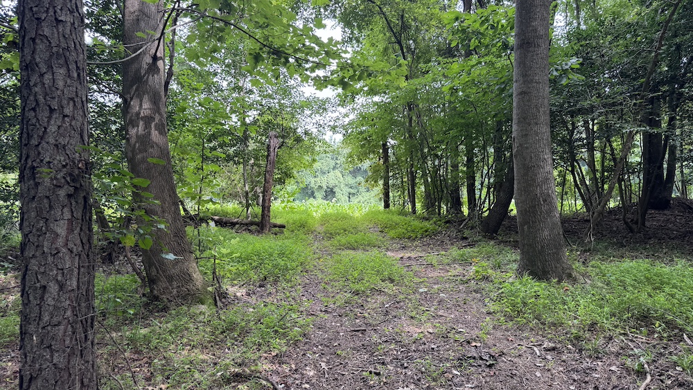
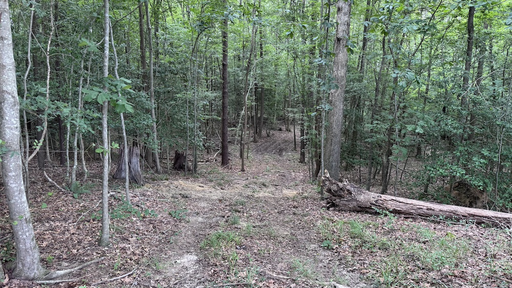
Outdoor enthusiasts will appreciate the abundant wildlife, including frequent sightings of deer, turkey, and other game, making this an excellent hunting and recreational property. A well-established network of trails, wide enough for side-by-sides, winds throughout the land, providing convenient access across the entire tract.
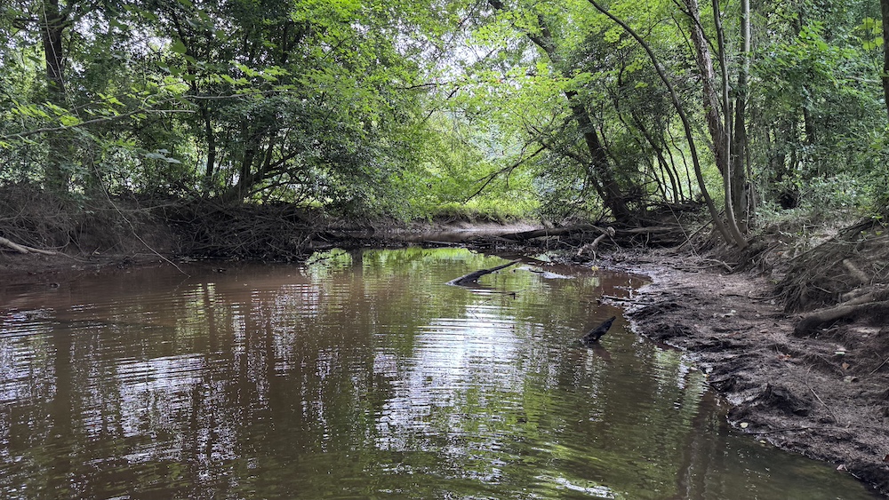
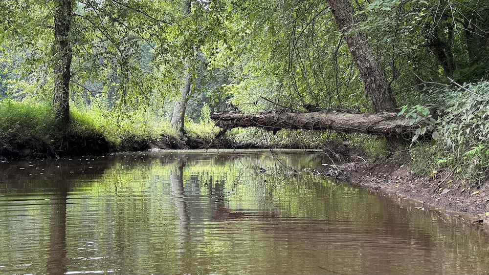
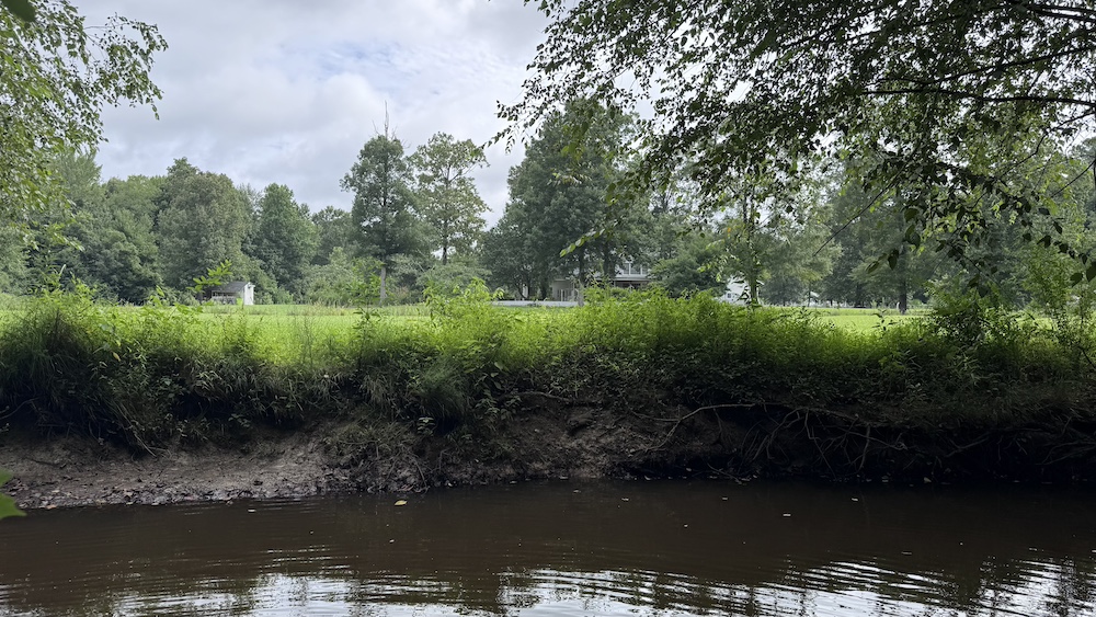
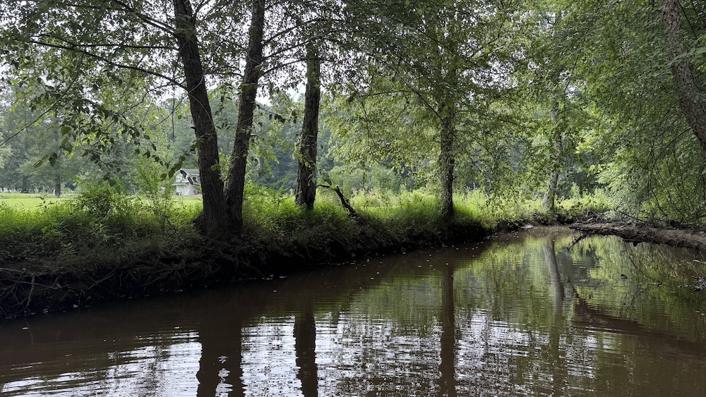
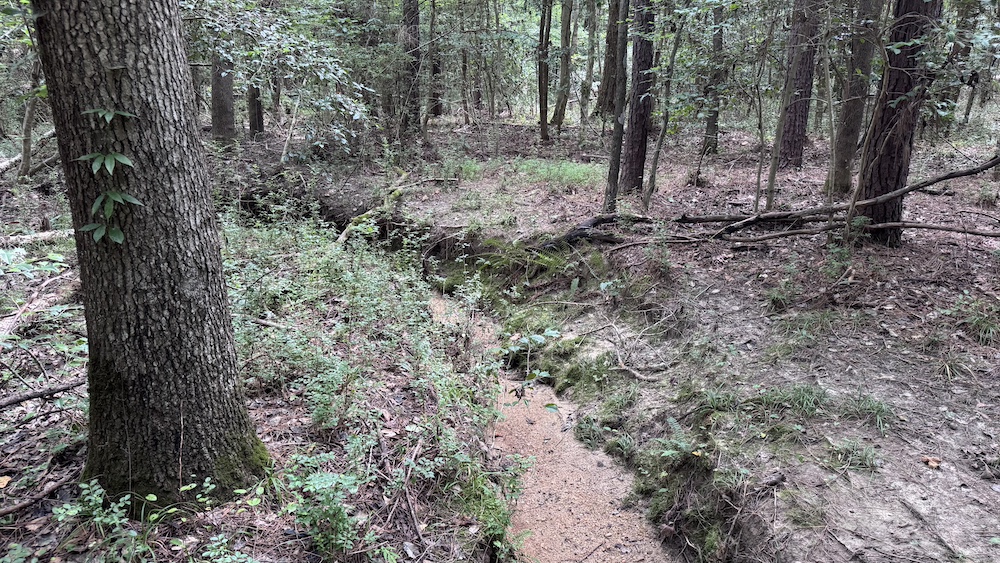
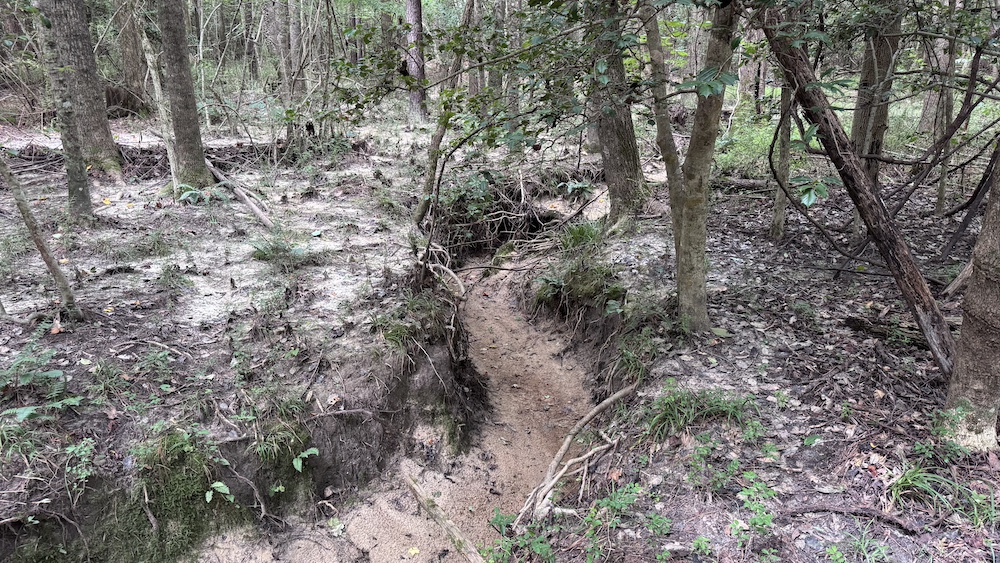
The northeastern boundary is bordered by Pig Basket Creek, offering a scenic natural feature and potential for small panfish fishing.
Whether you're seeking a private retreat, a hunting property, or a future homesite, this tract presents a unique opportunity in a desirable location.
Summary
Address
Approximate Distances
Property
Land Details
Timber
Tillable
Utilities
Improvements/Features
Small Game, Big Game, Waterfowl, Creek/Spring, Wetlands, Seller's Mineral Rights Convey
Details
- James Road is a state-maintained gravel road
- County water newly available on James Road
- 330+/- feet of road frontage
- Good mix of hardwoods and softwoods
- Soils have not been tested for septic suitability
- Multiple possible build sites
- Northeastern portion in FEMA flood plain
- Wetlands present on northeastern portion of property
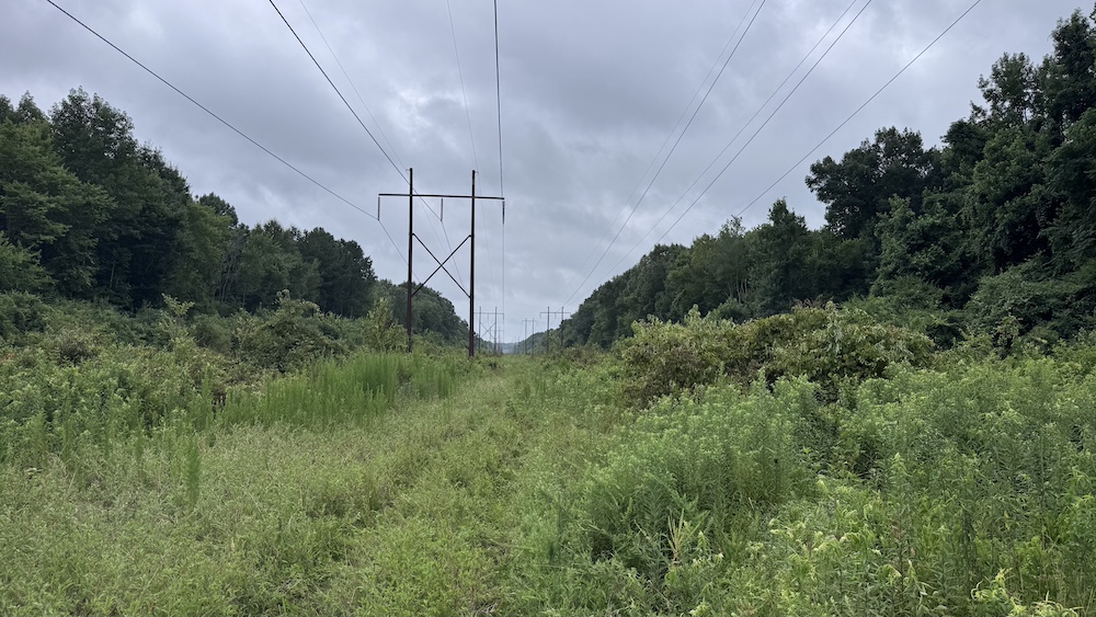
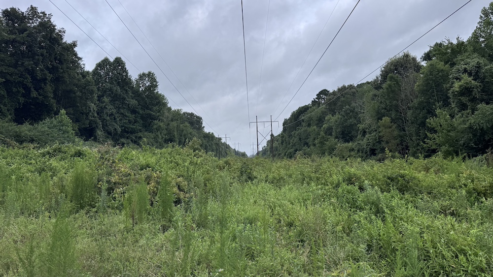
- Duke Energy easement through back of property for powerline
- Forestry management plan available upon request
- Multiple trails large enough for a crew cab side-by-side
Other
Coordinates
Annual Taxes


Nearby Related Properties
Stay Connected
Be Part of a Thriving Land Community!
Get the same expert advice, property strategies, and land management tips that thousands of landowners trust. Subscribe now and stay ahead in the market.