Rice County
Rice Co KS 115.9± Acres In 1 Tract
1145 E US 56 Hwy Lyons, KS 67554
Description
Entire Farm Description:
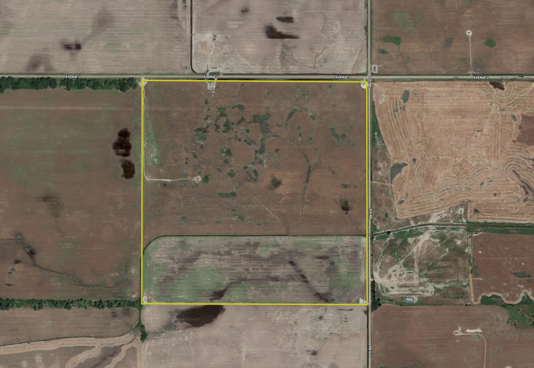
This is farm is located 2 miles north and 3 miles west of Chase, KS. Sells with open tenancy after 2023. This tract would be an excellent addition to your operation or a way to diversify your investment portfolio.
Tract 1 Description: North 155.9 Acres
Tract 1 is located just two miles north and three miles west of Chase, KS at the intersection of Avenue J and 5th rd. This property offers easy access via well-maintained roads. The nearest blacktop road is 6th Rd coming north off of Hwy 56, which leaves only 1.5 miles of gravel road to the property. This tract is made up of 155.9+/- total acres consisting of 152.98+/- acres of tillable. Throughout the years, this property has been rotated between wheat, soybeans, and grain sorghum, with the average yields as follows; wheat (36 avg.), soybeans (26 avg.), grain sorghum (88 avg.). A salt water disposal well has replaced the traditional well. The new owner will receive a portion of the lease annually, providing additional income to the property. Overall, this is an excellent opportunity for a farmer or investor alike, whether adding to your operation or investment portfolio. Part of the farm is in wheat and the new owner will receive 100% of that rent. The balance of the farm is open tenancy for 2024.
Details:
Tract #: 1
Deeded Acres: 155.9+/-
FSA Farmland Acres: 152.98
Soil Types: Abbyville loam, Solvay loamy fine sand, Darlow-Elmer complex, Pratt loamy fine sand, Elmer loam, Farnum and Funmar loams, Salt creek and Naron fine sandy loams, Attica fine sandy loam
Soil Class: 52% Class III, 25.8% Class II, & 22.2% Class IV
Average Yield: Wheat (36 avg.), Soybeans (26 avg.), Grain Sorghum (88 avg.)
CRP Acres/Payment: No CRP
Taxes: $560.70 (2022)
Possession: Immediate possession
Survey Needed?: No survey needed
Brief Legal: 155.9+/- acres, S22 T19S R10W, Rice Co, KS Pioneer Township
PIDs: 0800652200000001000
Lat/Lon: 38.387537, -98.410789
Zip Code: 67524
Subject to Grantor reserving ½ of the oil, gas and other minerals in and under the above described real property for a term of 15 years from the date of this deed and as long thereafter as production is obtained from the above described real property or production is obtained from any property which has been unitized with the above described real property. Grantor retains 100% of the executory rights with regard to the leasing of the above described real property for oil and gas purposes. Grantor stipulates and covenants that Grantor will not enter into any oil and gas leases covering the above described real property which do not provide for at least a 1/8th royalty interest.
In addition to the above mineral interest, Grantor retains ½ of the monthly and/or annual payments paid by American Warrior, Inc., its successors or assigns for the use of a saltwater disposal well located on the above described real property. This reservation concerning payments for the use of said saltwater disposal well is hereby reserved by Grantor, his successors and assigns as long as there remains a saltwater disposal well located on the above described real property (American Warrior, Inc. or any of its successors and assigns).