Pulaski County
79.76± Acre Turnkey Ozarks Hunting And Recreational Tract Near Richland, MO
TBD Rochester Rd Richland, MO 65556
Media


Description
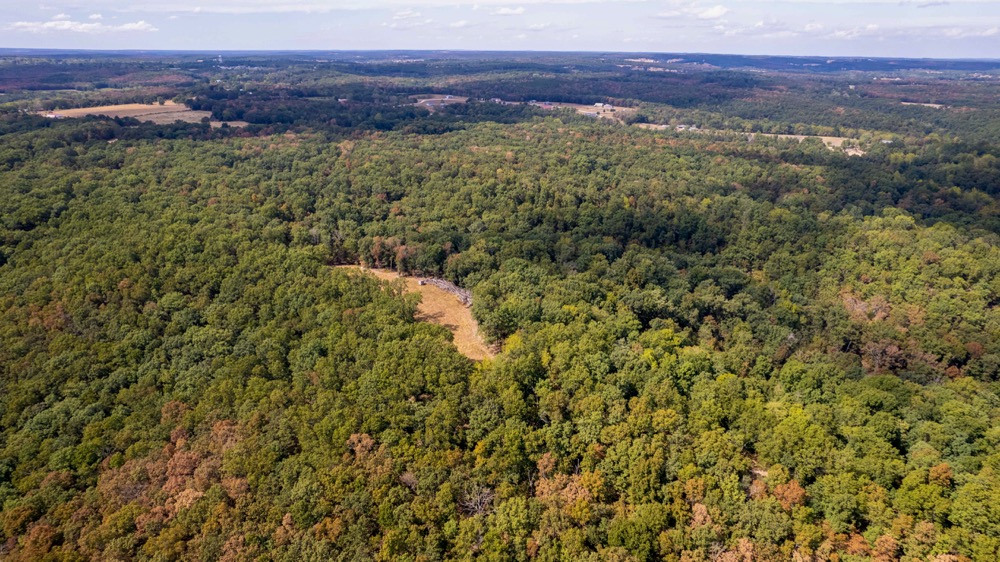
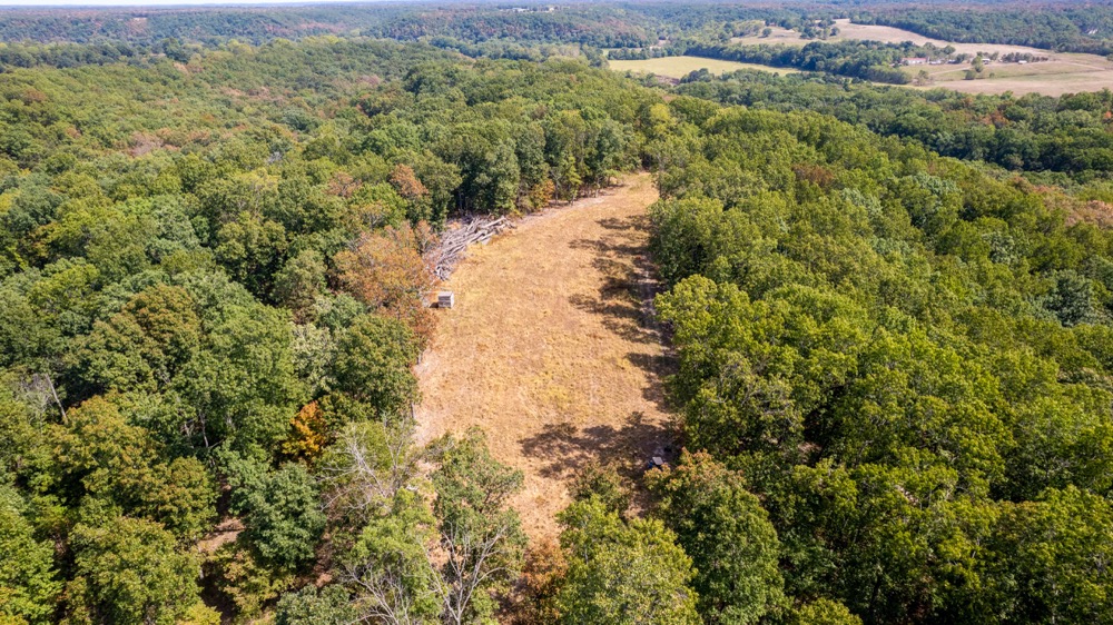
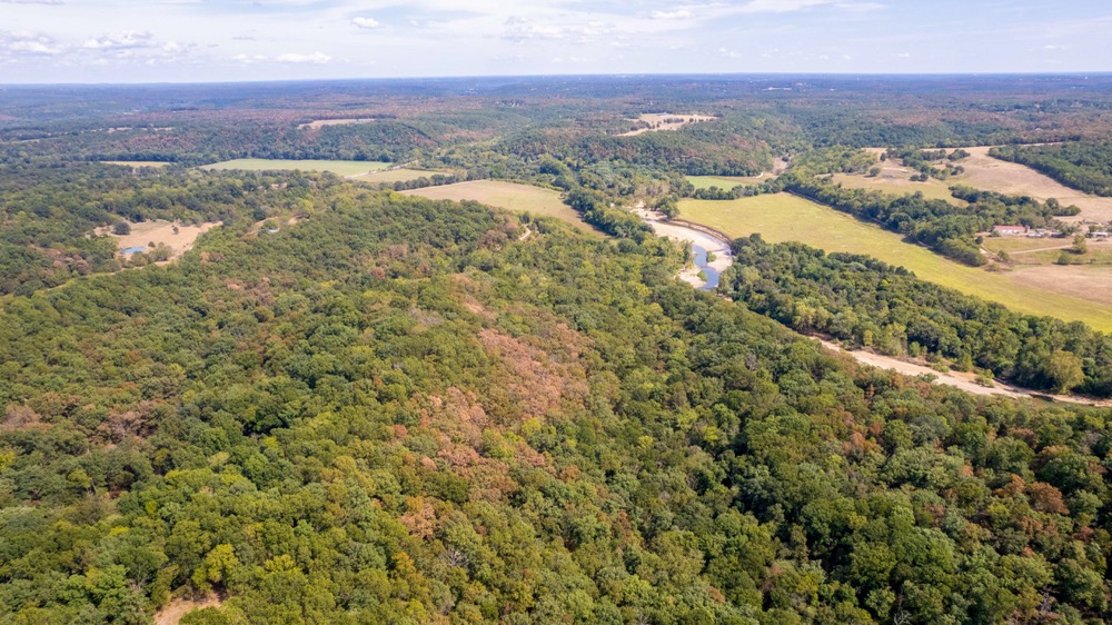
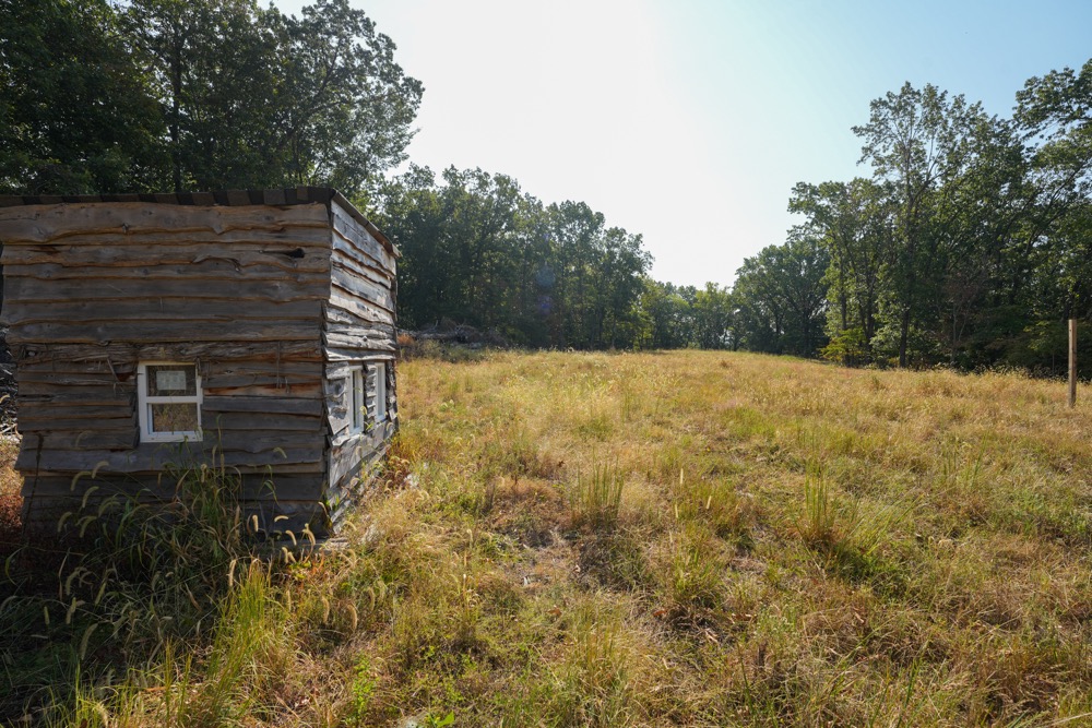
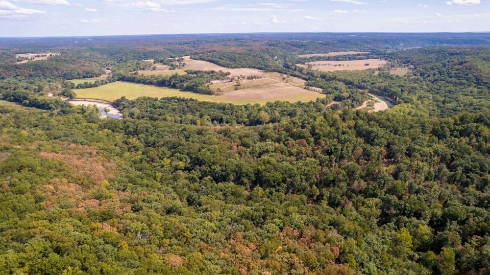
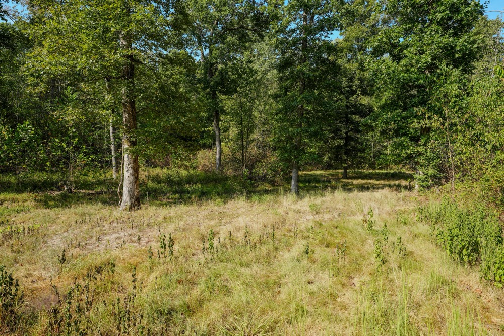
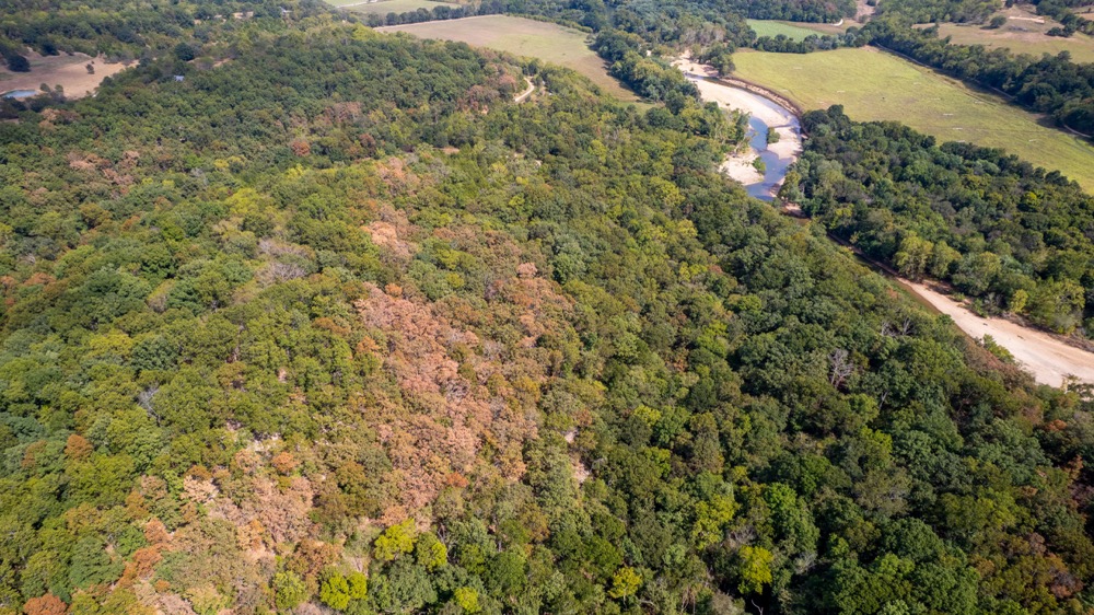
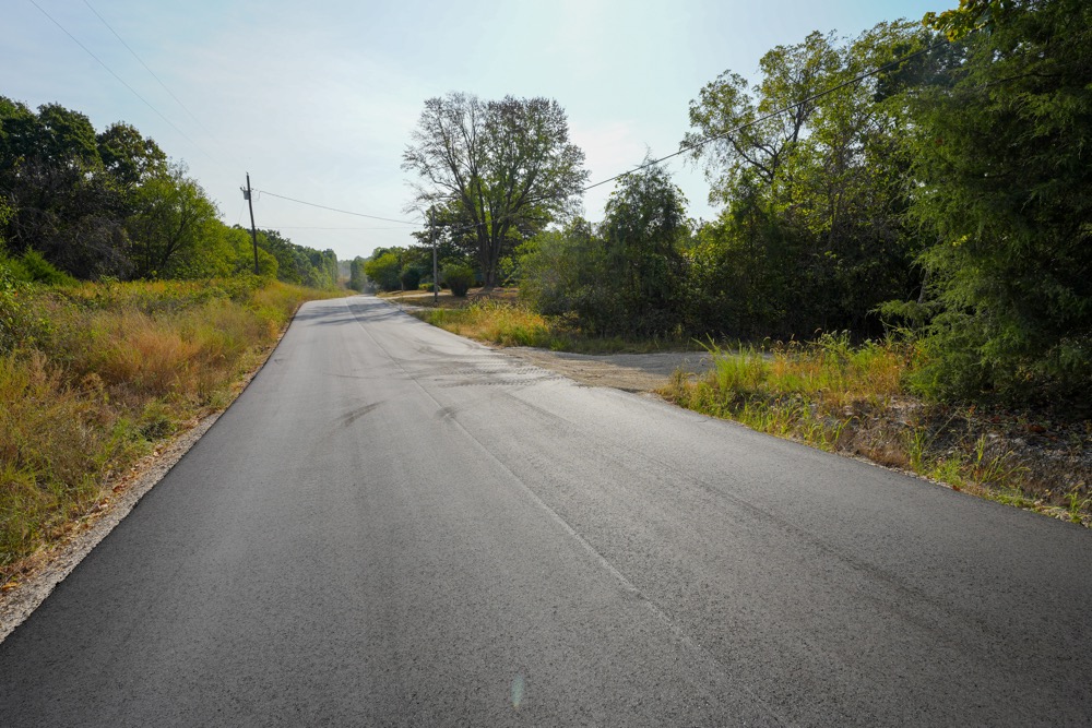
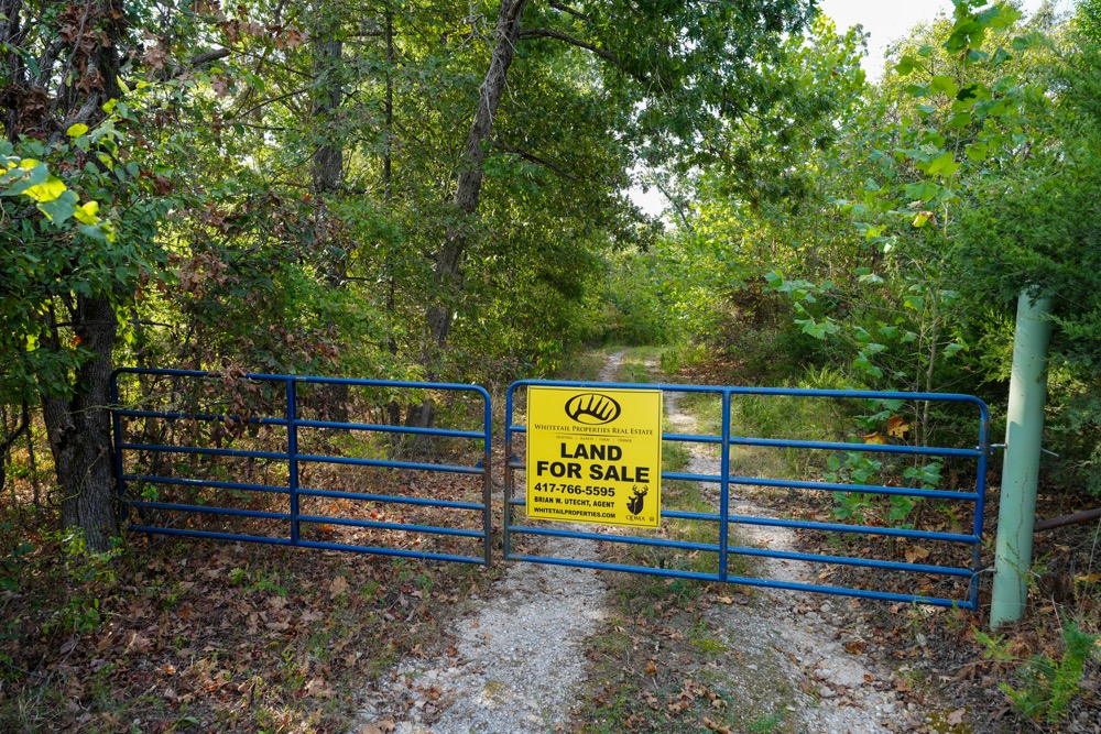
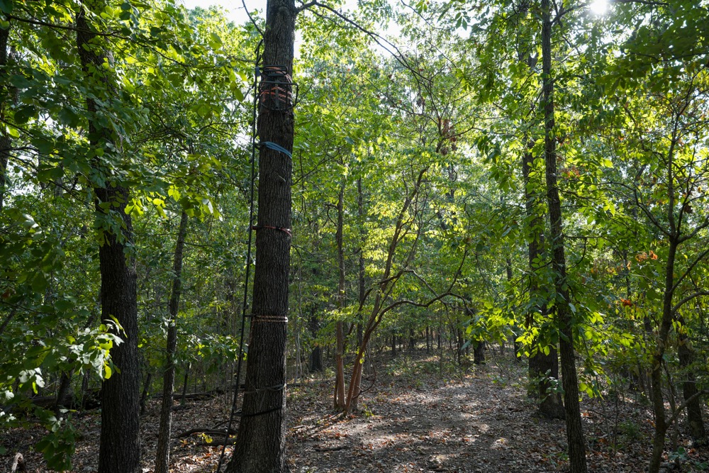
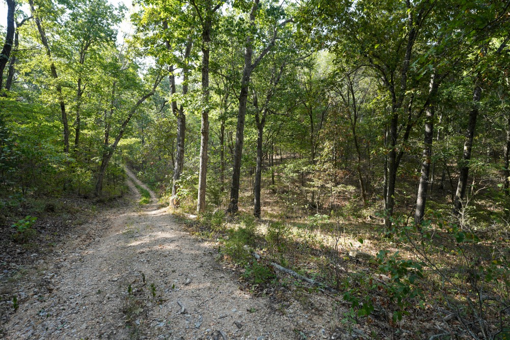
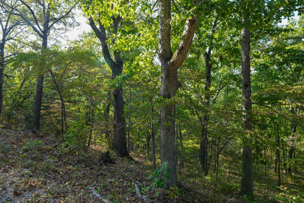
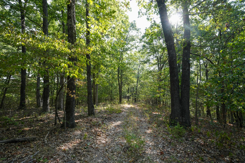
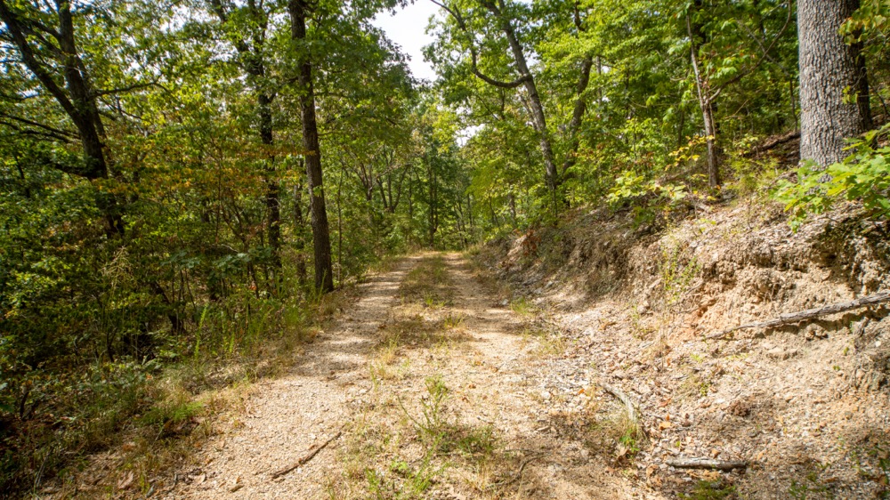
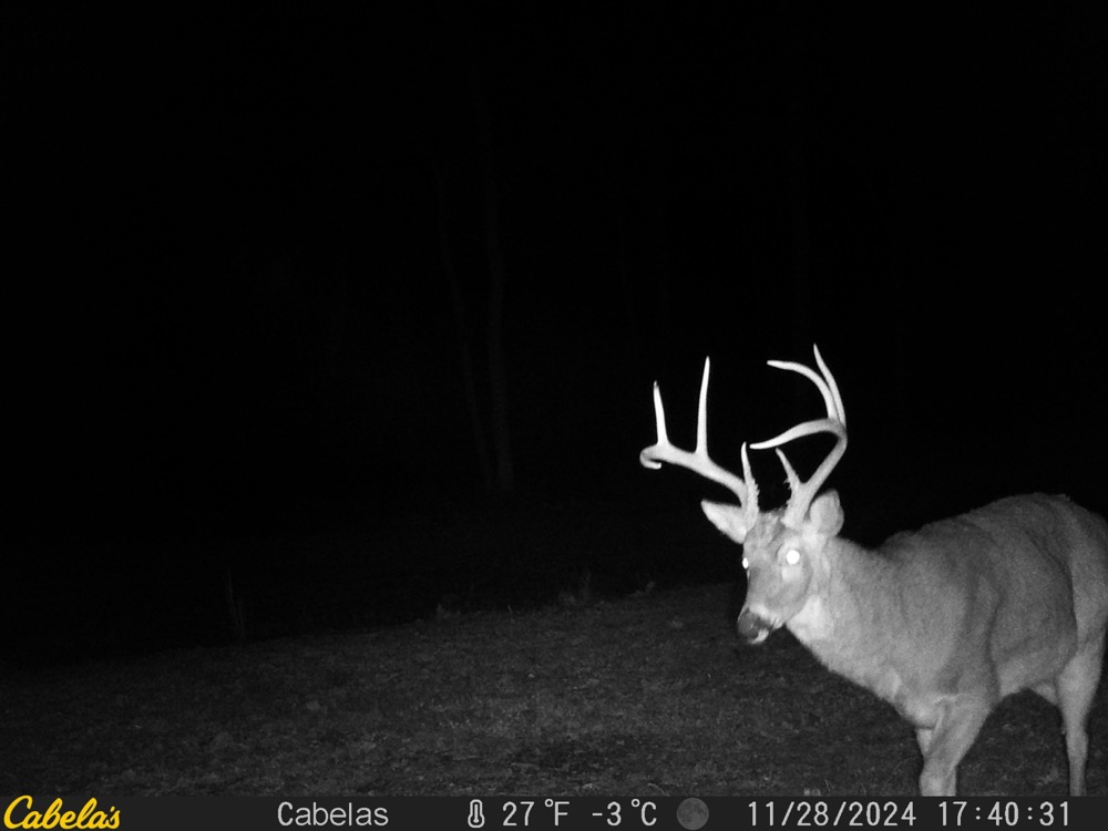
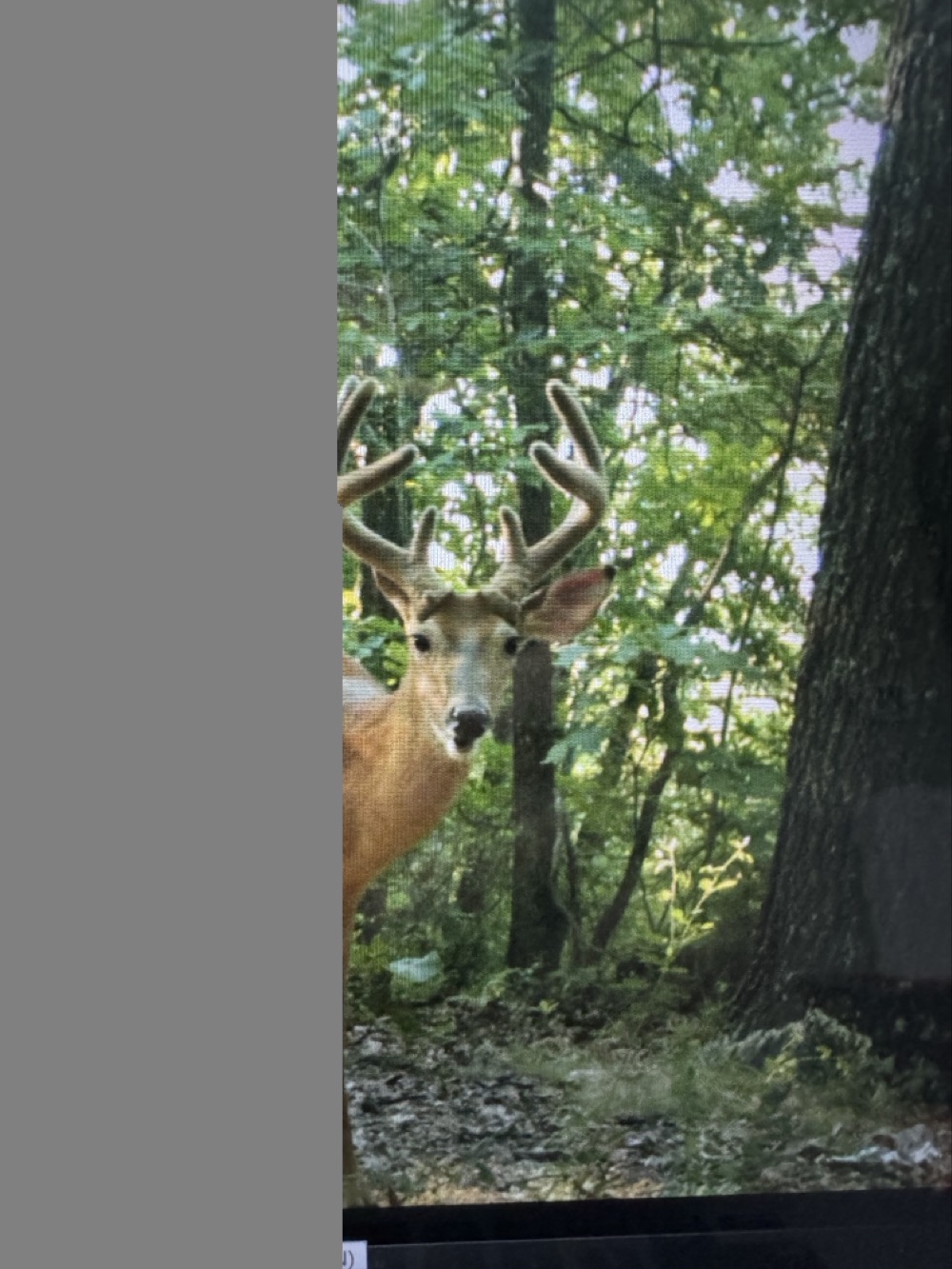
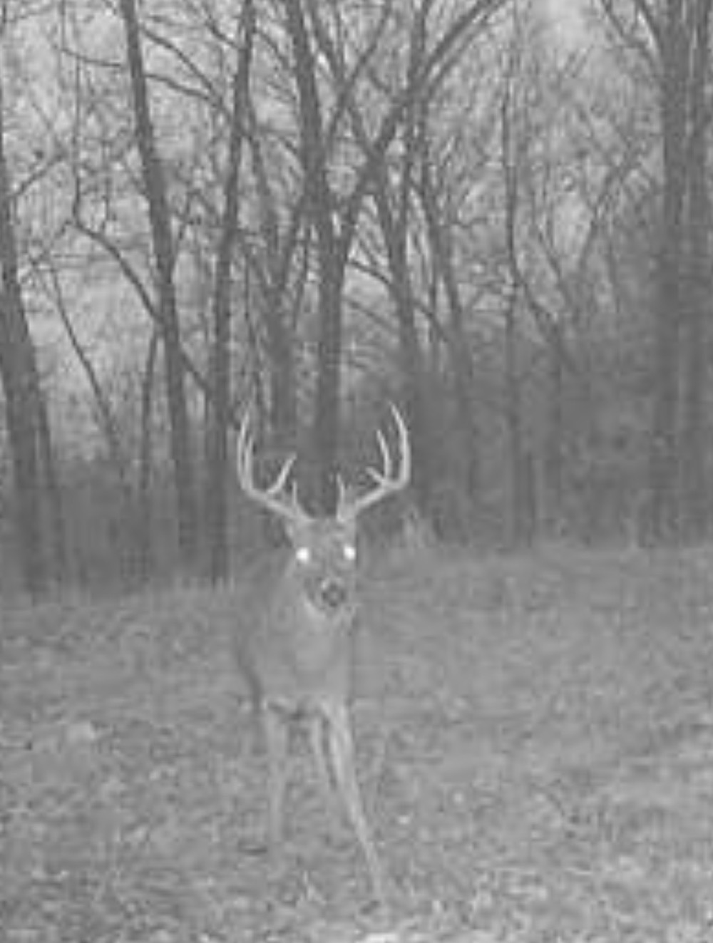
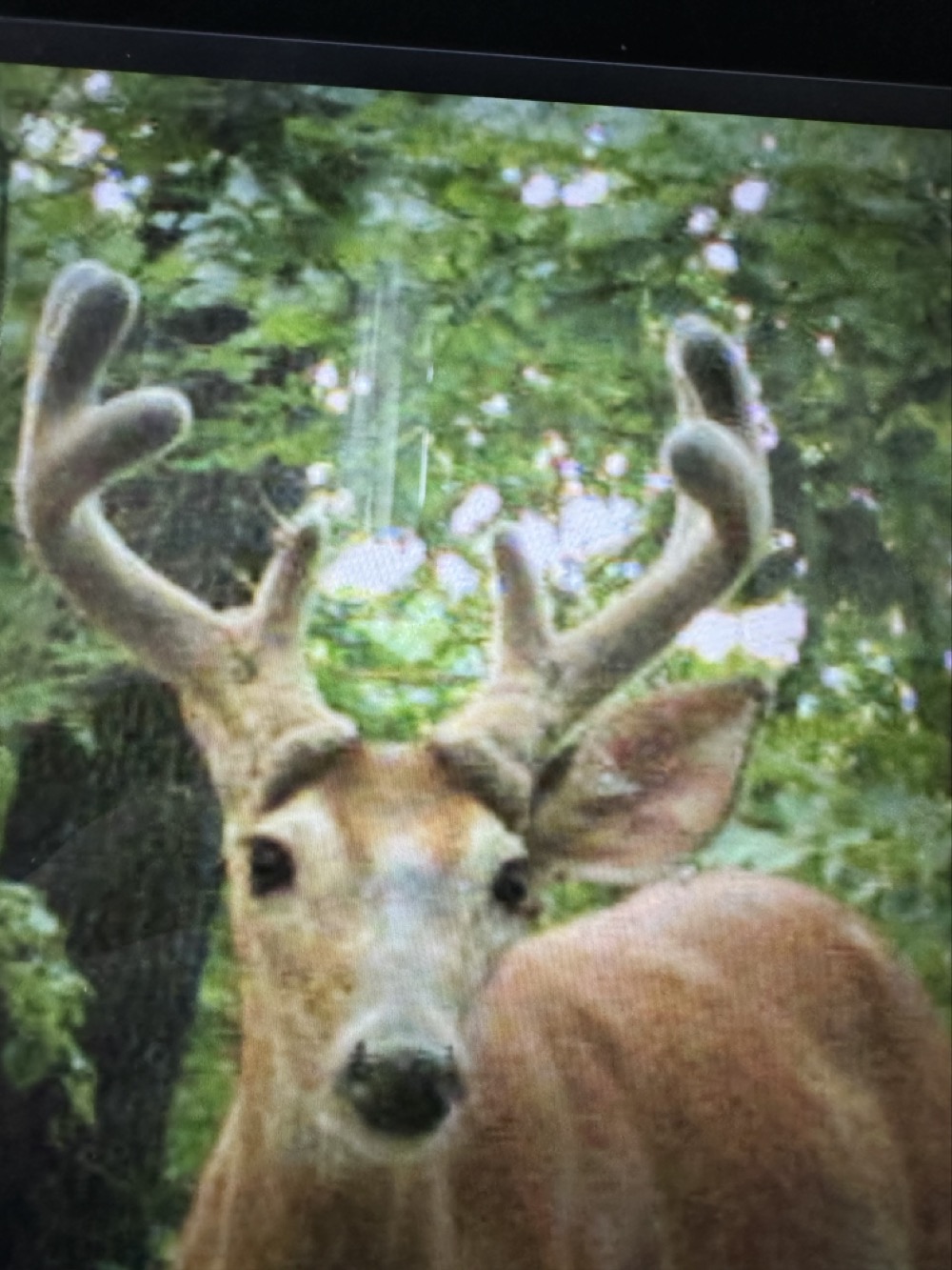
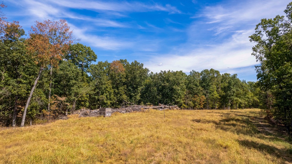
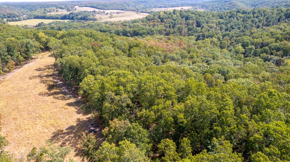
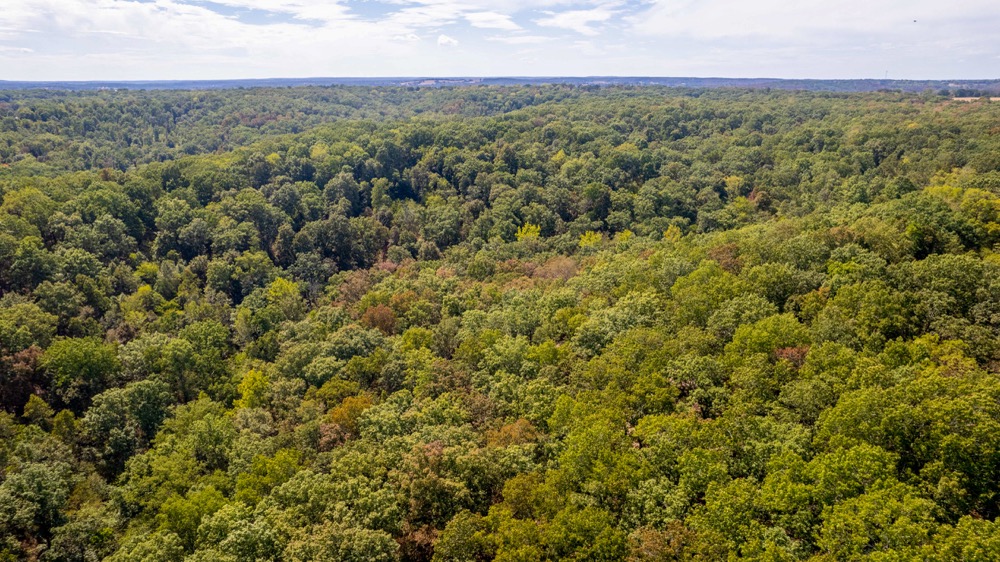
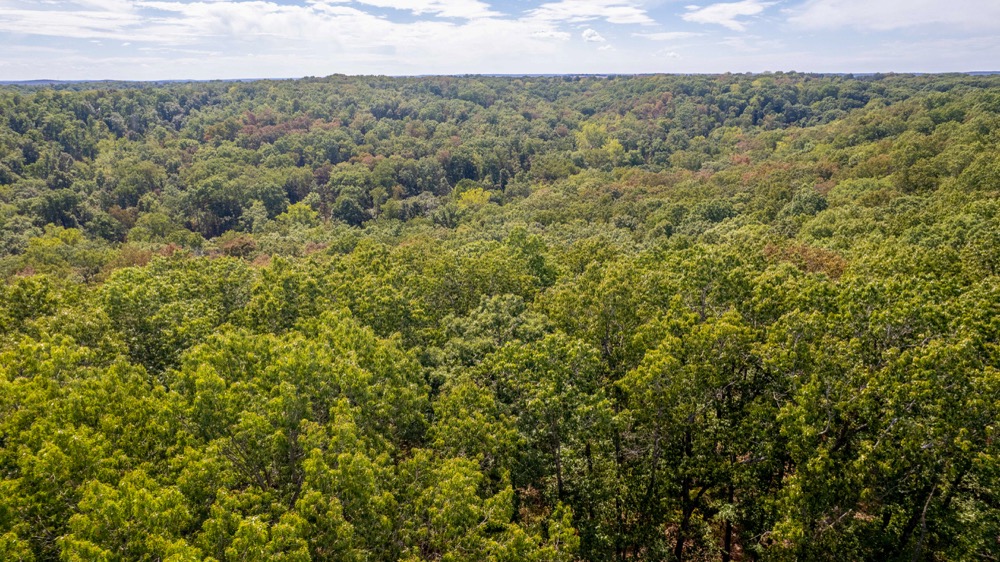
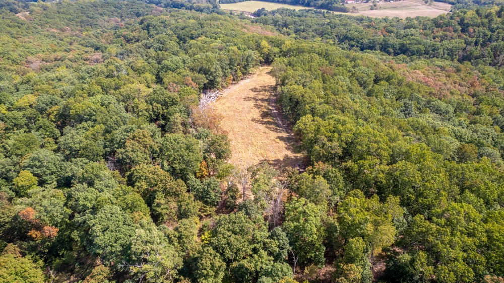
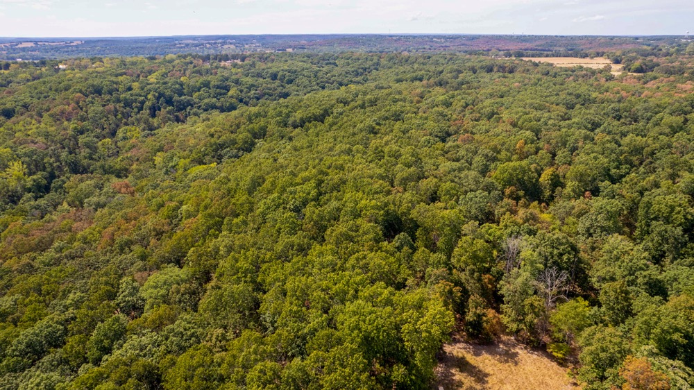
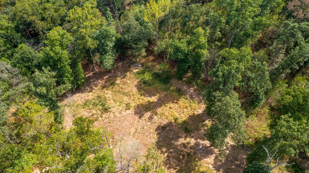
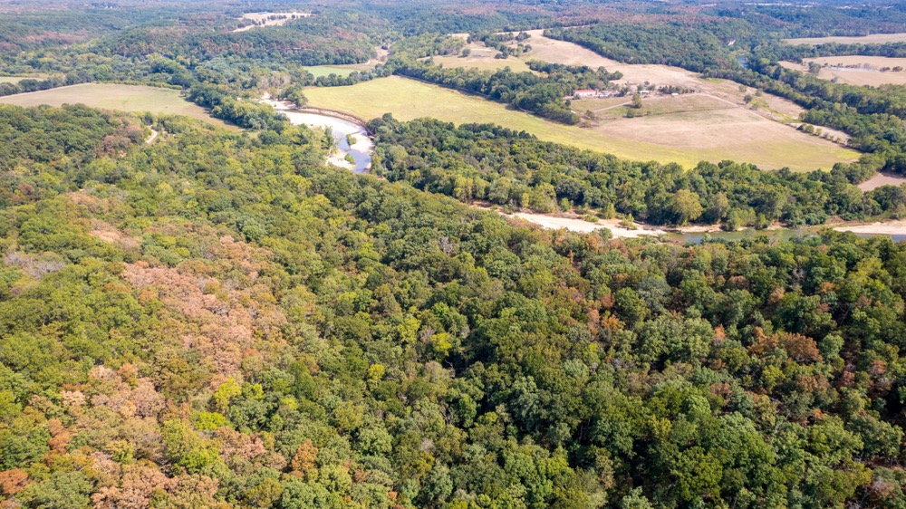
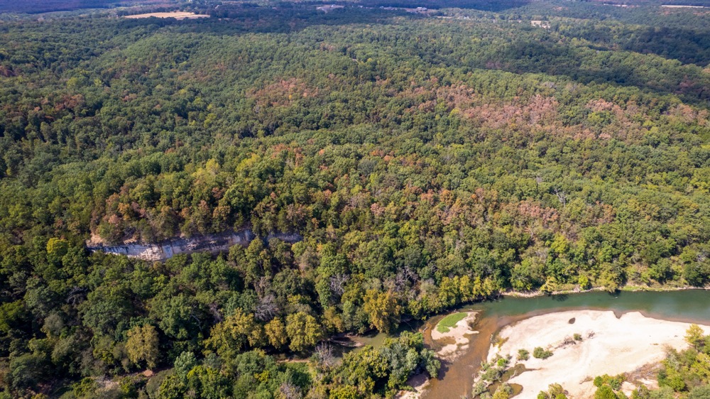
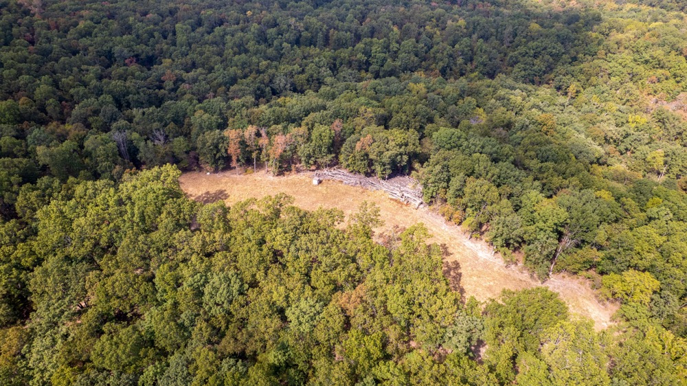
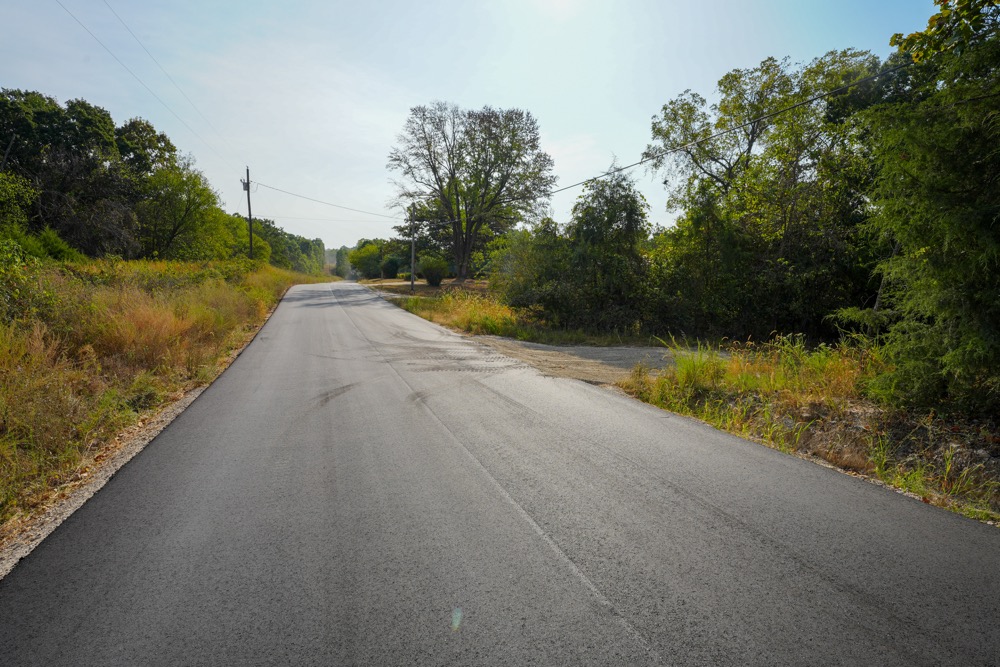
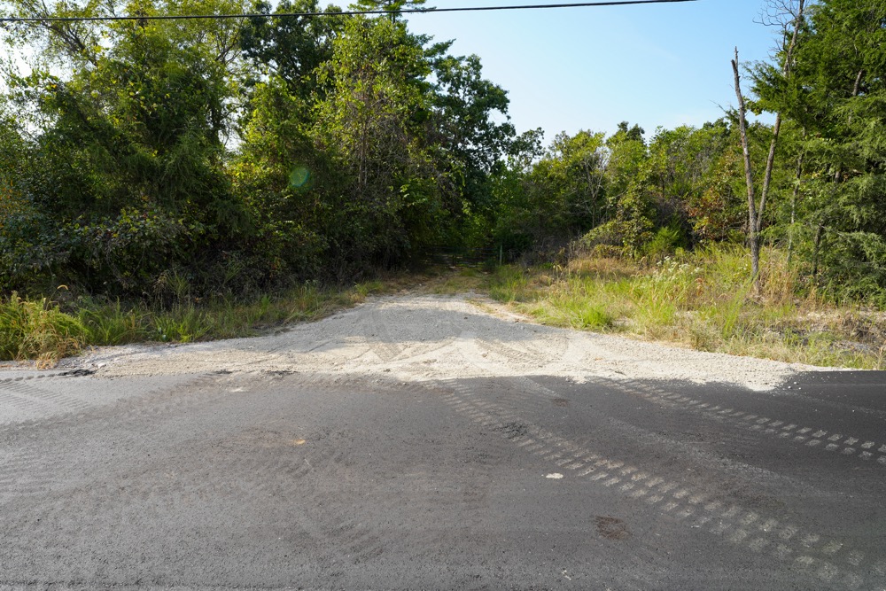
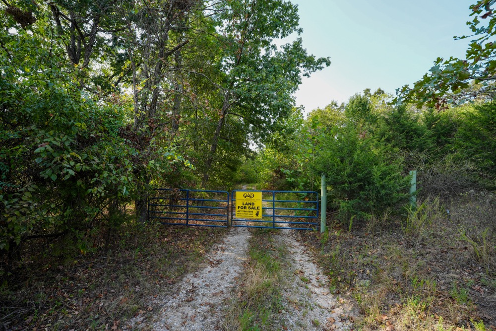
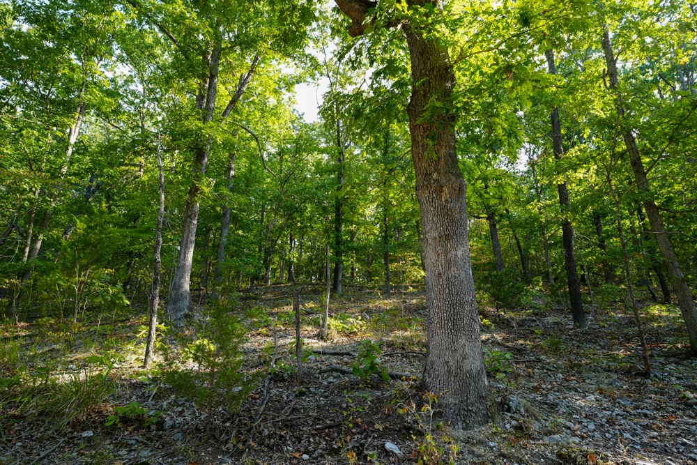
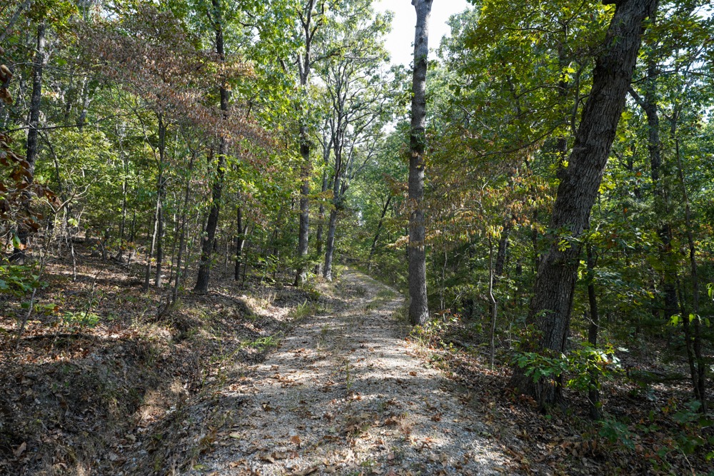
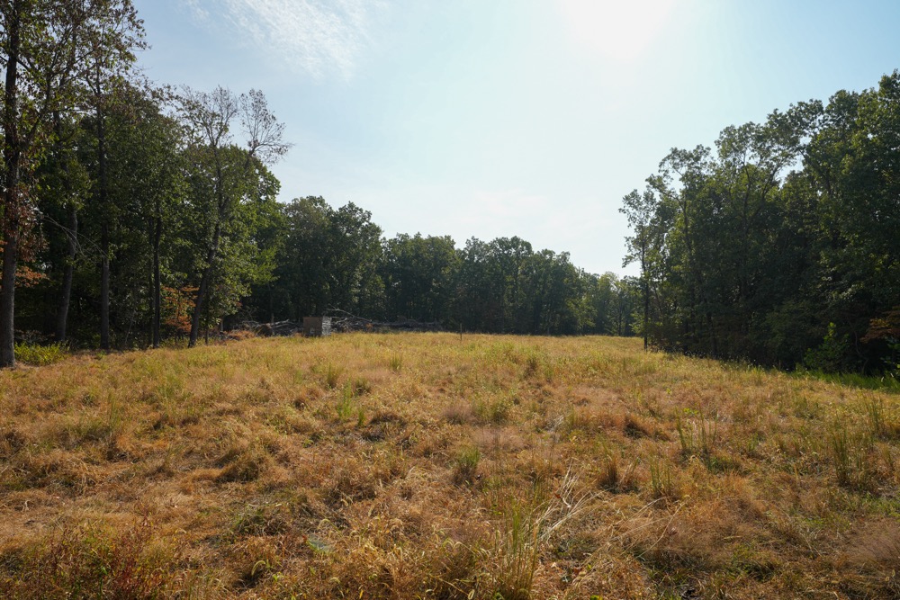
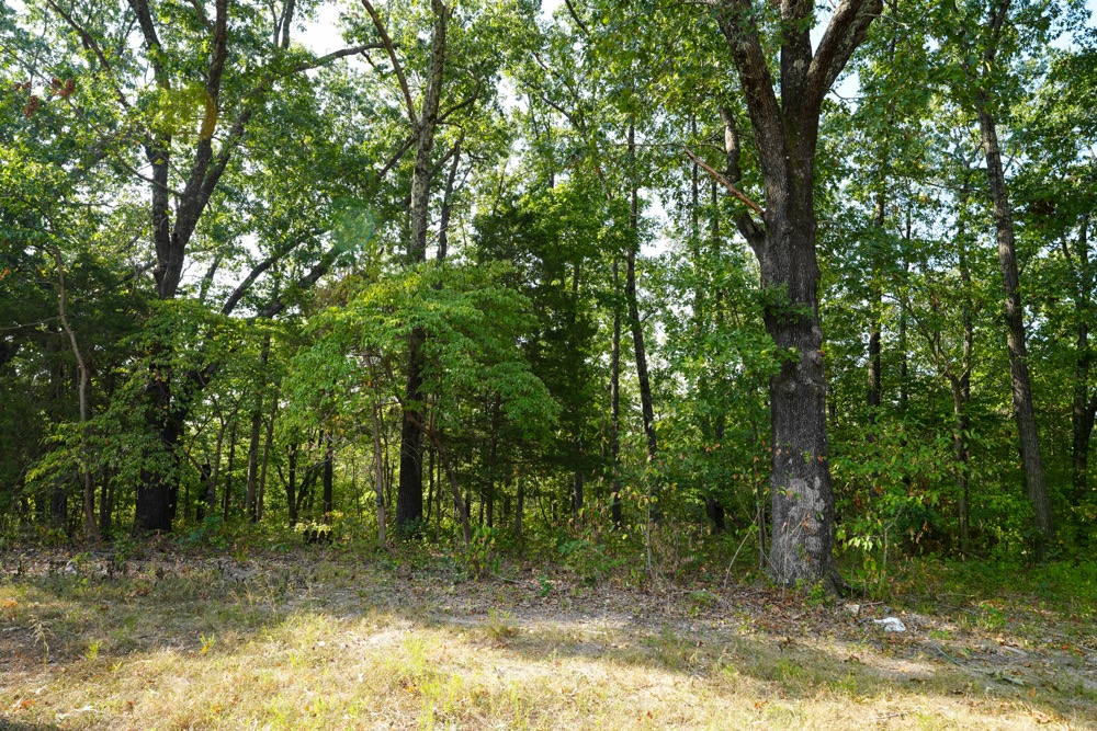
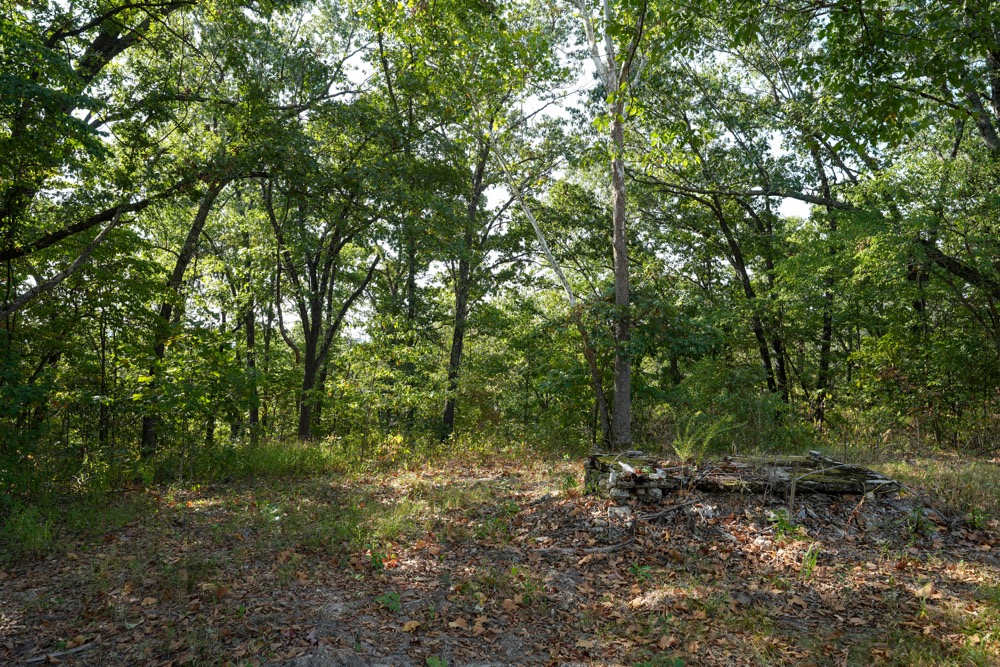
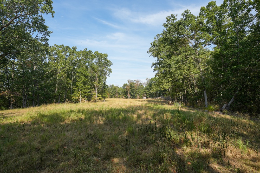
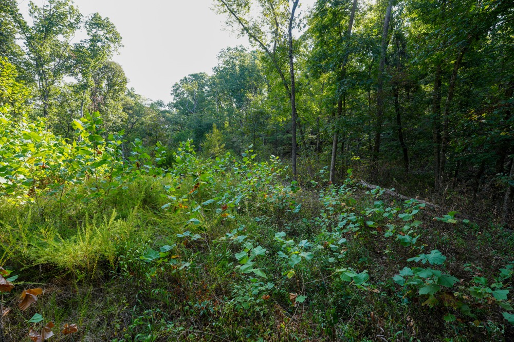
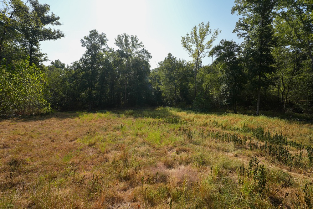
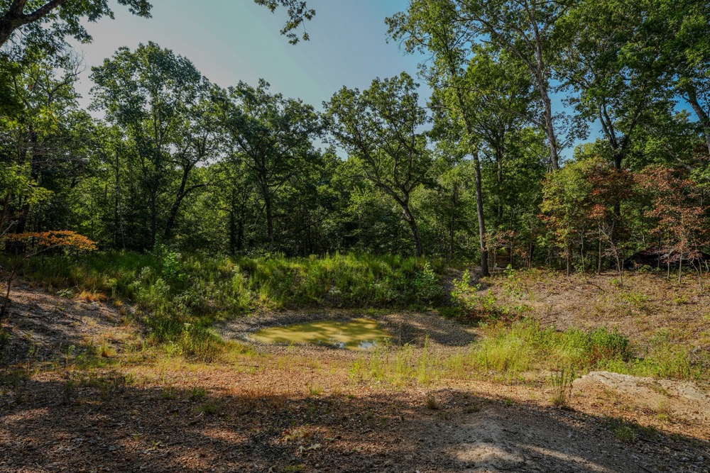
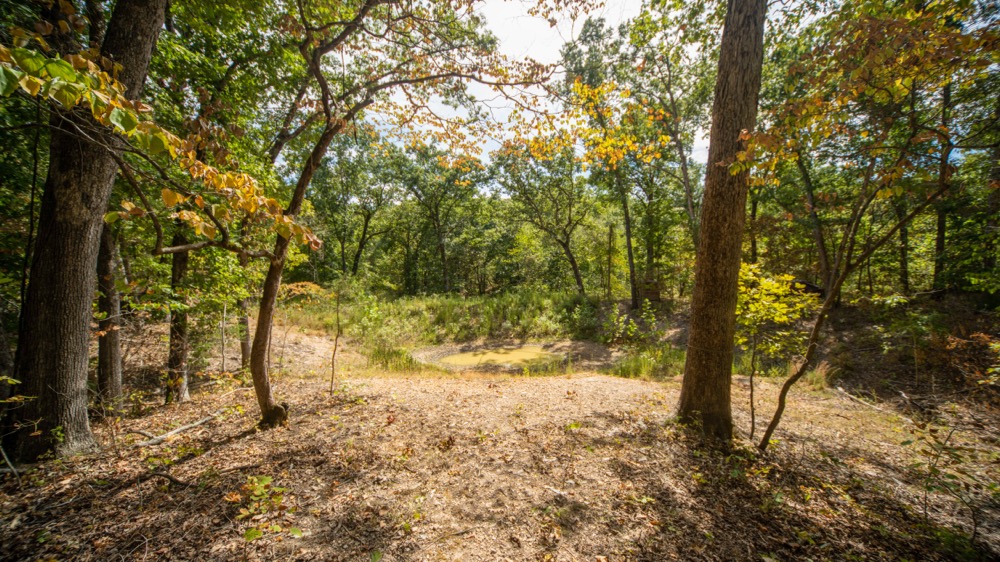
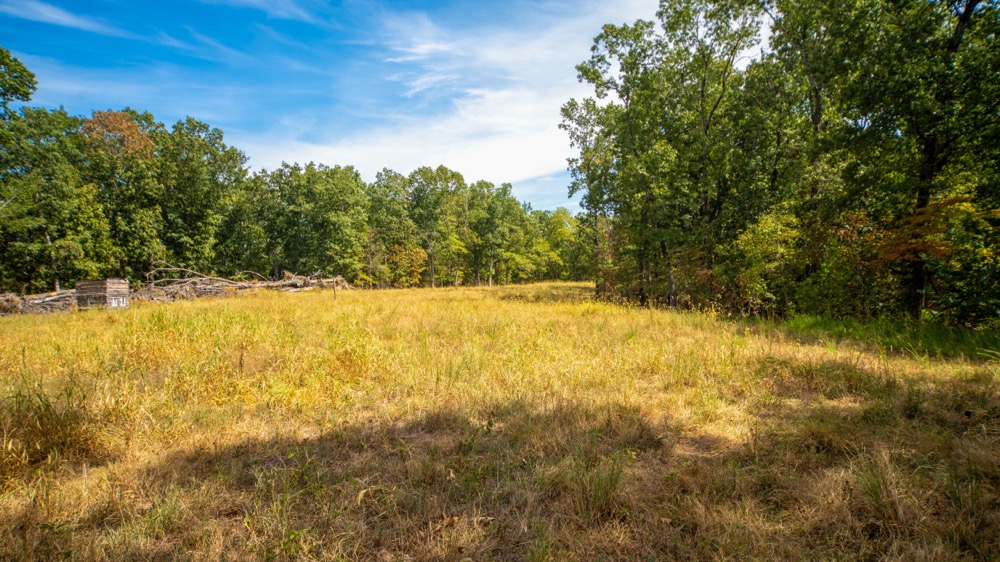
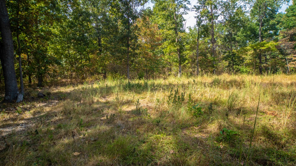
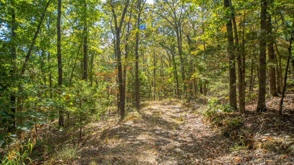
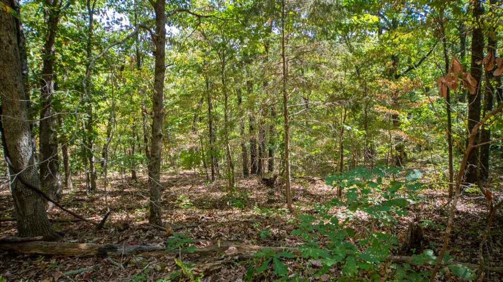
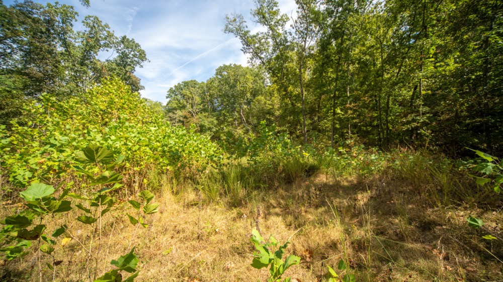
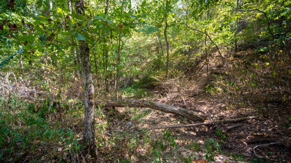
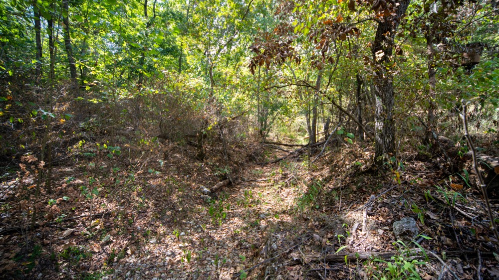
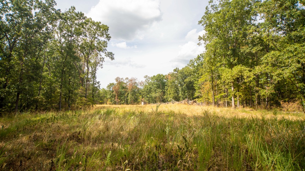
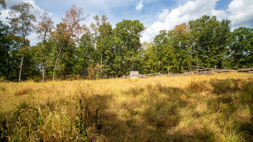
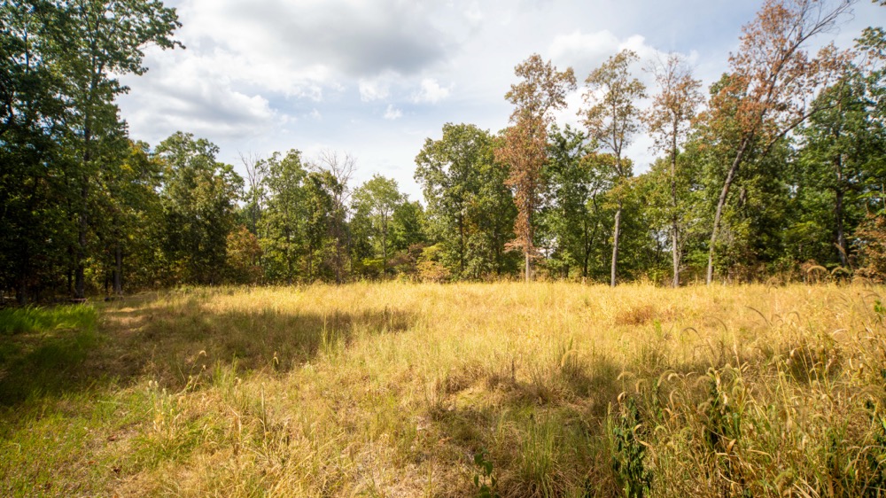
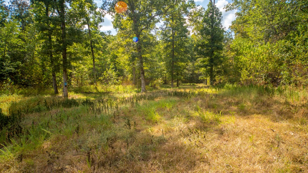
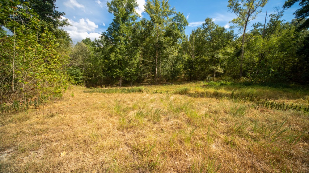
Just east of Richland, this 79.76± acre Pulaski County property offers a secluded Ozarks hunting tract less than 10 miles from Interstate 44. Accessed from a blacktop road by deeded easement, the property features nice timber with plenty of white and black oak, established food plots, blinds, tree stands, trails, a pond, and a wet-weather creek. The terrain is what makes this property especially great for hunting. A wet-weather creek and gradual draw lead from the property toward the Gasconade River before meeting a large bluff. These terrain features naturally tighten the available travel route and create a strong pinch point for whitetail movement through the farm. Rolling ridges, draws, and elevation changes provide additional habitat for deer and turkey, while the established trail system makes the property easy to navigate. With Richland nearby and convenient access to Waynesville, Lebanon, and Lake of the Ozarks, this is a turnkey secluded hunting and recreational tract with a great setup and location. Call the Utecht Land Team at 417-766-5595 to learn more or schedule a private showing.
Summary
Address
Approximate Distances
Property
Land Details
Timber
Open
Pond
Improvements/Features
Small Game, Big Game, Creek/Spring, Food Plot, Tree Stands/Blinds, Trail Network, Gated Entrance
Details
- 79.76± acres in Pulaski County, Missouri
- Just east of Richland and less than 10 miles from I-44
- Secluded deeded easement access from a blacktop road
- Established food plots, blinds, and tree stands
- Natural whitetail travel funnel near the Gasconade River
- Mature white oak and black oak timber
- Pond and wet-weather creek
- Established trail system
- Diverse ridges, draws, and elevation changes
Other
Coordinates
Annual Taxes

Nearby Related Properties
Stay Connected
Be Part of a Thriving Land Community!
Get the same expert advice, property strategies, and land management tips that thousands of landowners trust. Subscribe now and stay ahead in the market.