Callahan County
Crooked Creek Ranch
TBD CR 277 Baird, TX 79504
Media
Description
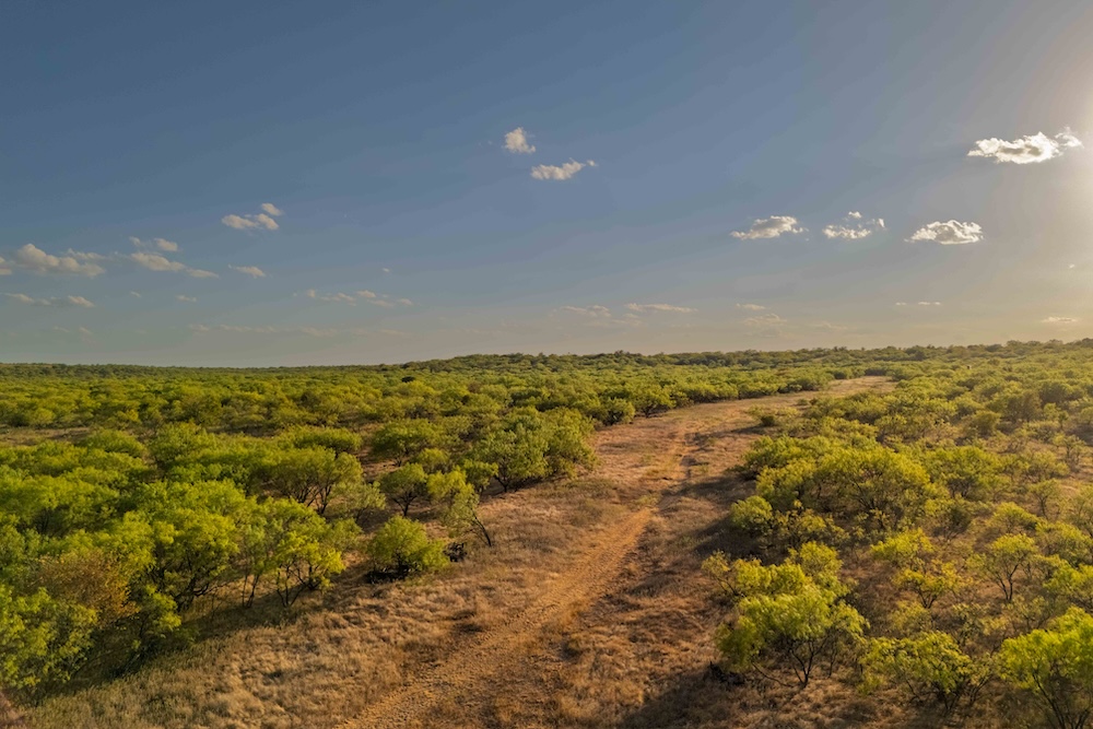
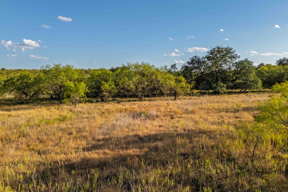
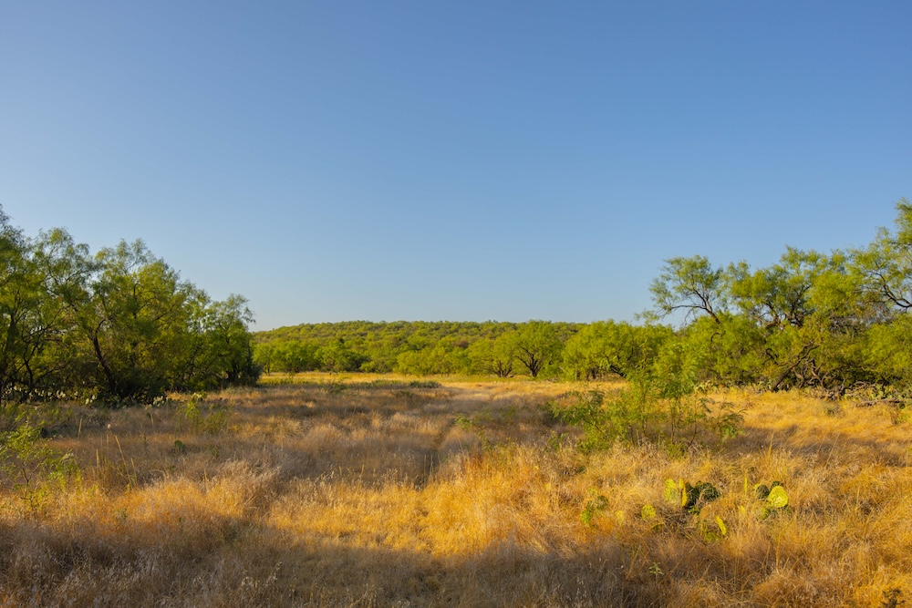
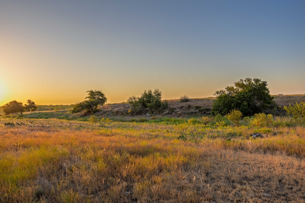
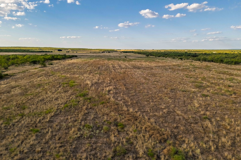
Crooked Creek Ranch spans approximately 652.78 acres in southwest Callahan County, where a long north-south ridge defines the western side of the property and the land falls toward tillable fields, native brush, four earthen tanks and the Crooked Creek drainage. The ranch has the size and variety to support hunting, livestock and hands-on land management, with each part contributing to how the property can be used.
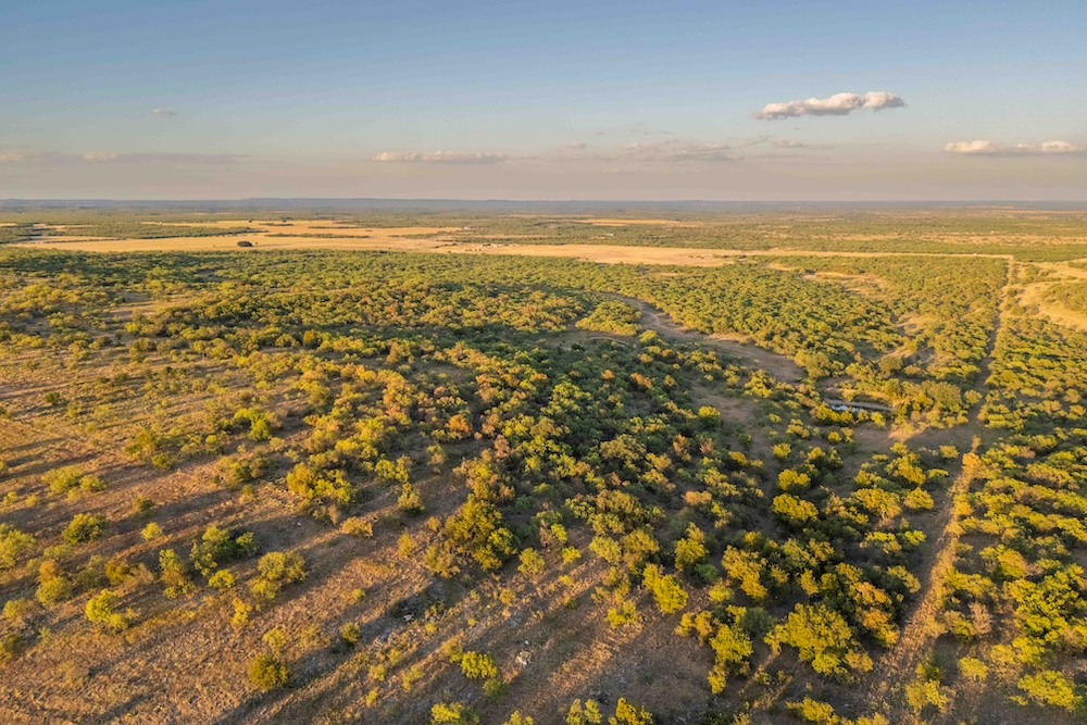
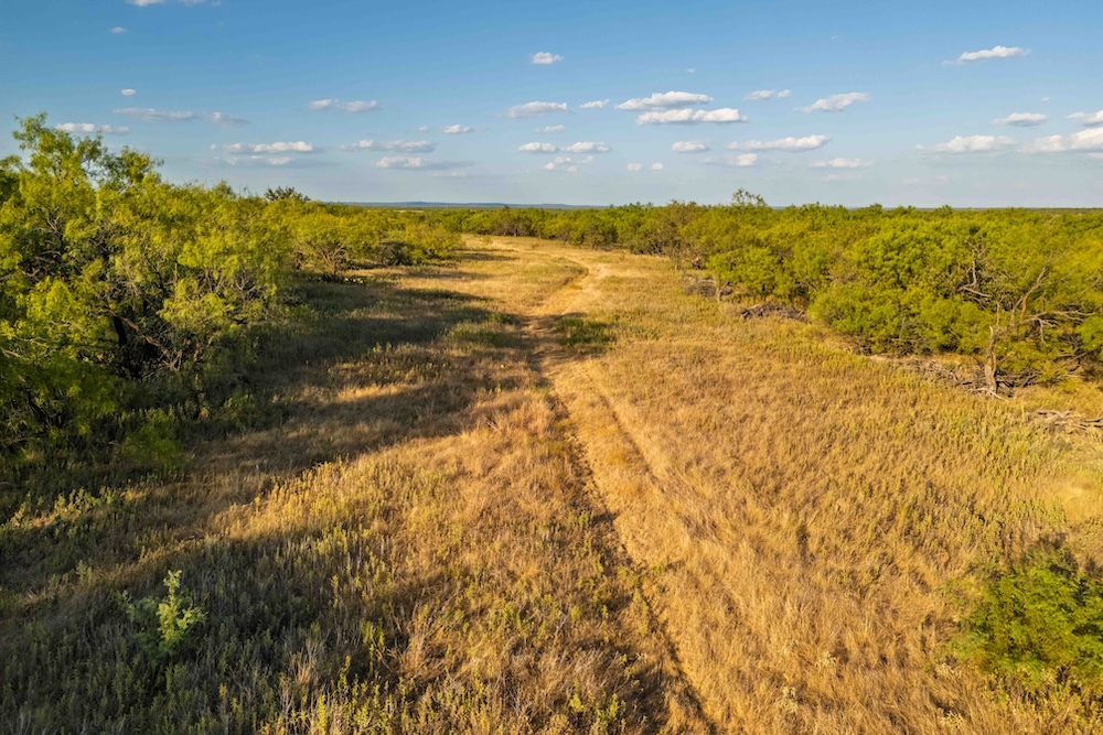
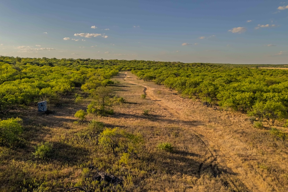
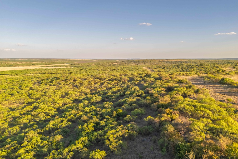
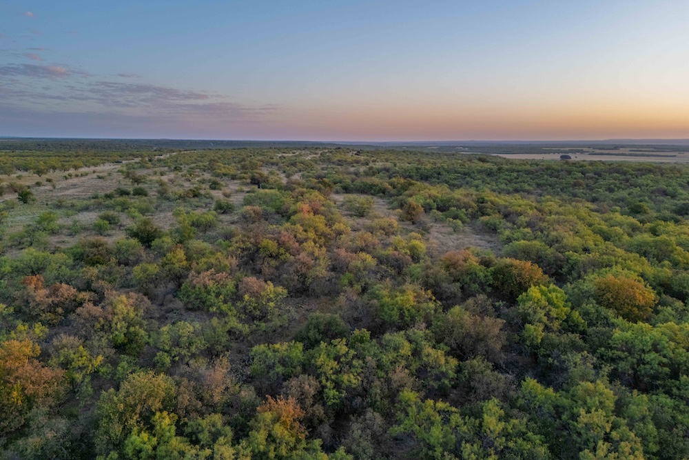
The western ridge is the defining feature of the terrain. Elevations range from approximately 1,790 to 1,940 feet above sea level, creating about 150 feet of change across the ranch. From the higher ground, broad views extend across the fields and into the lower country. As the elevation falls, open ground gives way to dense brush, scattered timber and drainage areas, creating distinct zones within the larger acreage.
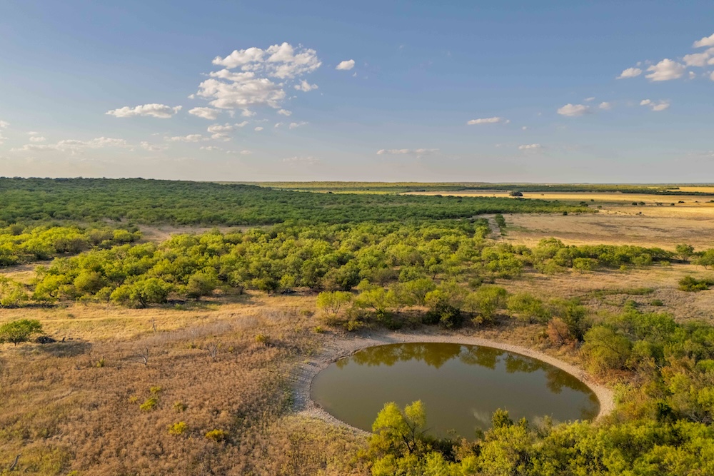
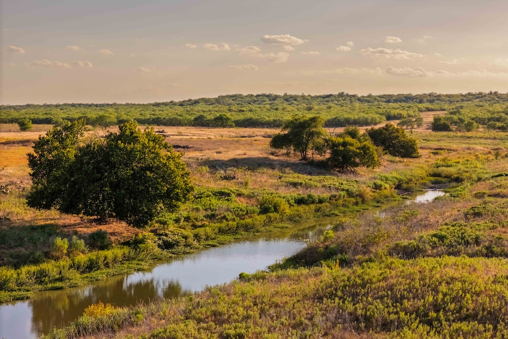
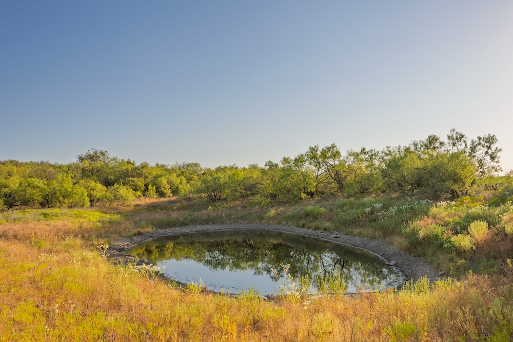
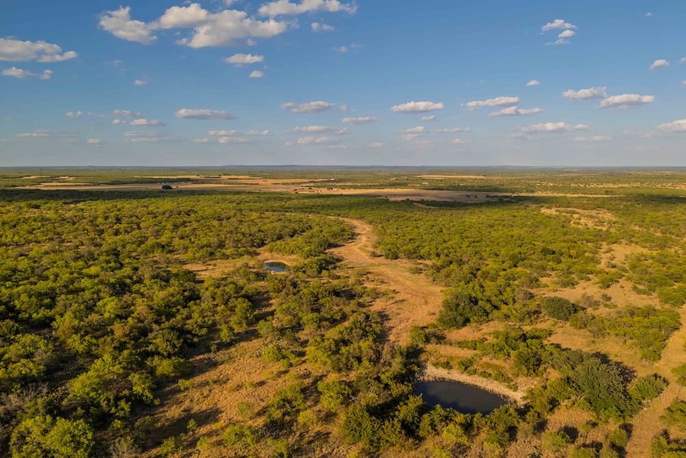
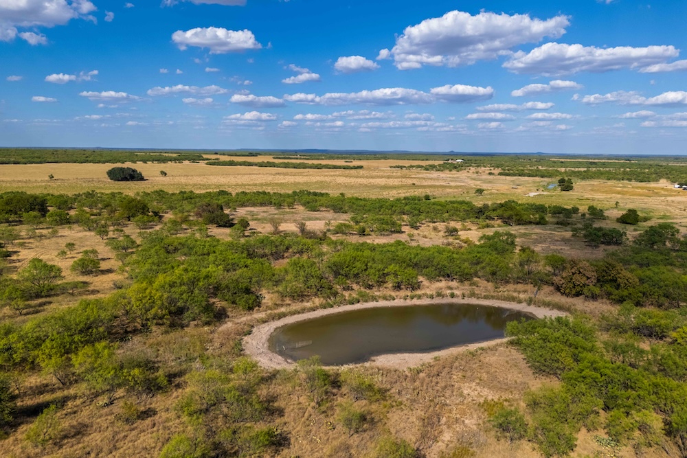
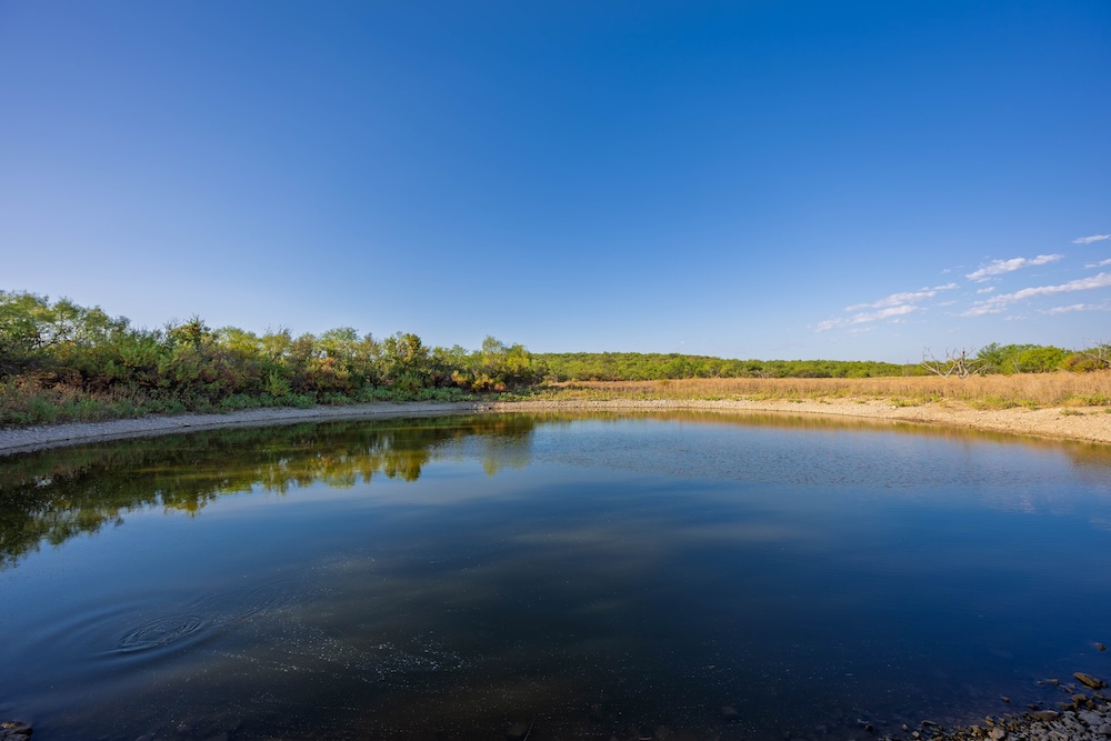
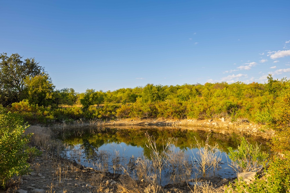
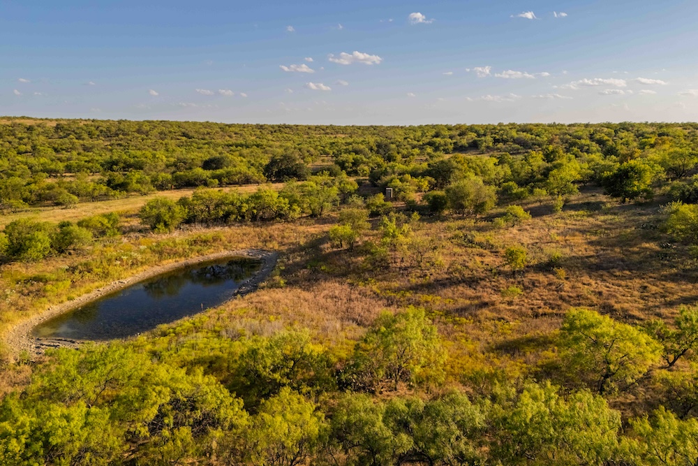
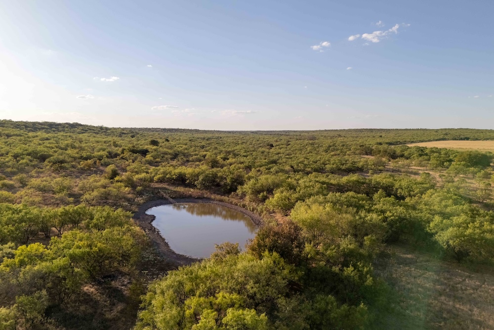
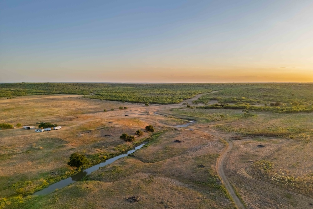
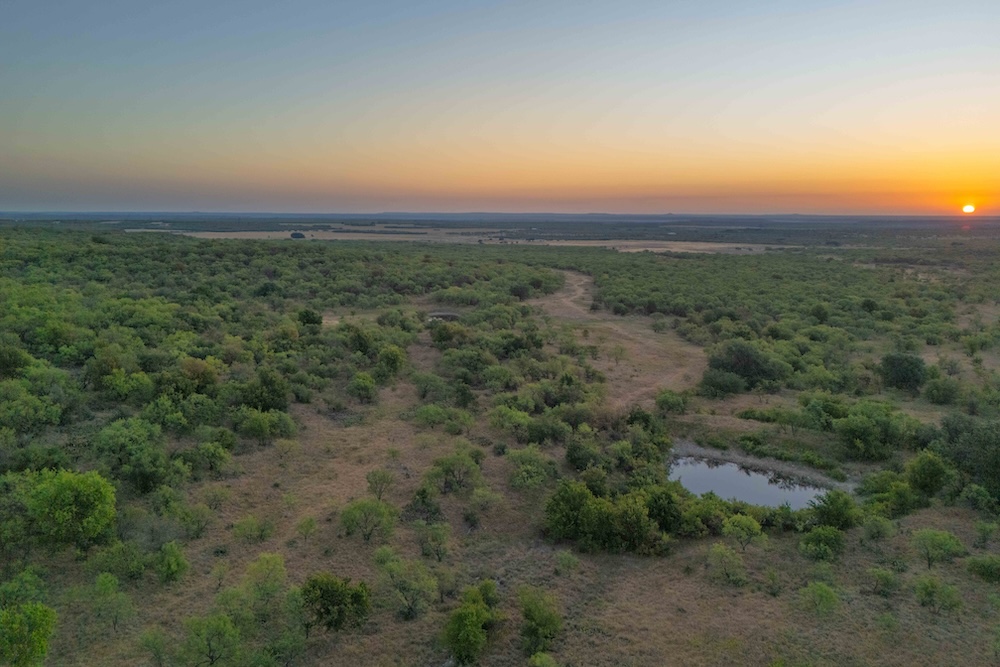
A wet-weather branch of Crooked Creek crosses the northwestern corner of the ranch. Its channel and surrounding vegetation form a natural corridor through the lower country. Four earthen tanks add water at separate points across the property, extending the value of the creek corridor for livestock and wildlife and adding aesthetic appeal throughout the ranch.
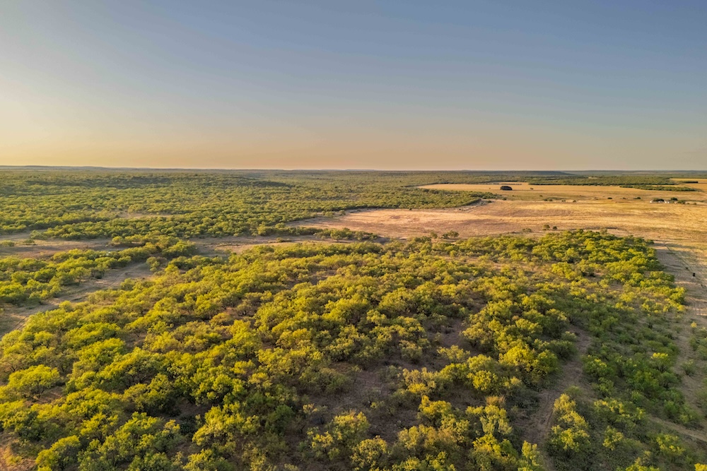
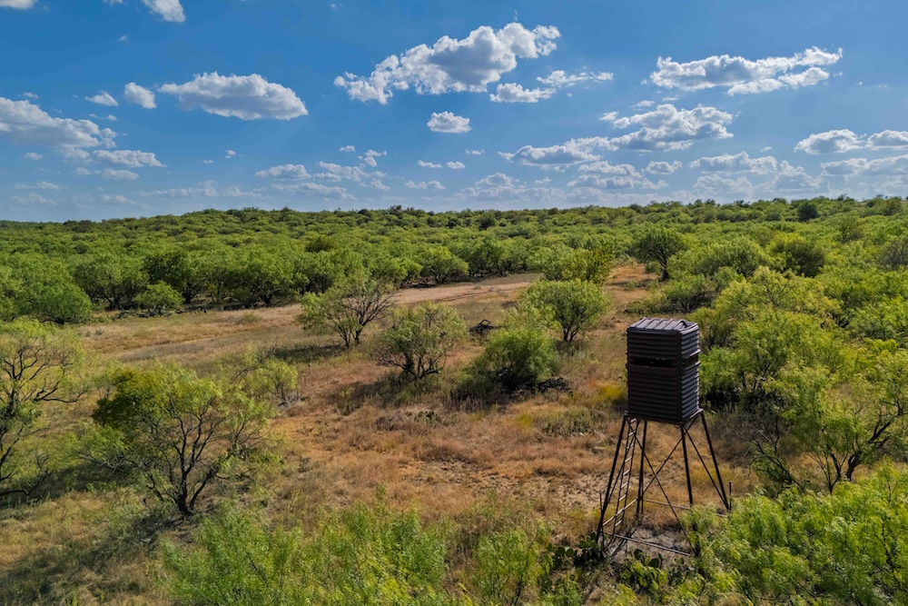
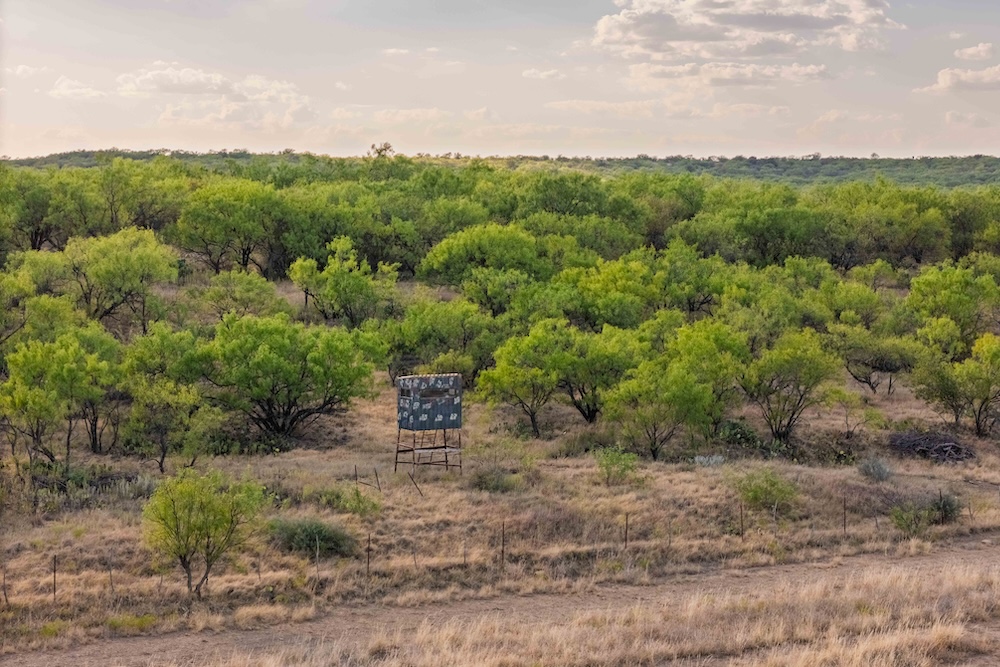
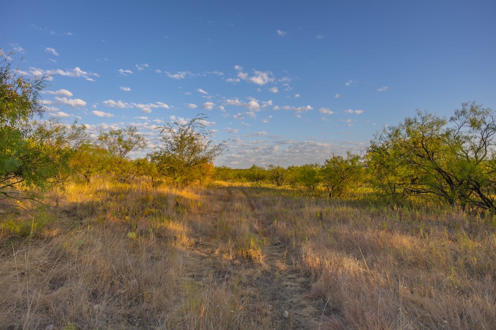
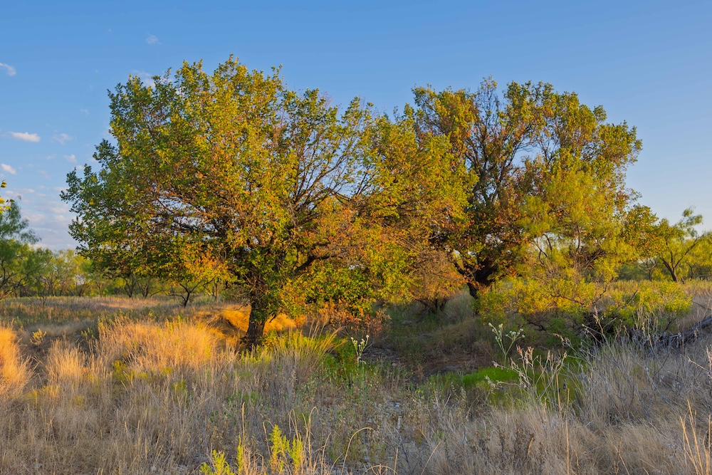
Native mesquite, hackberry, prickly pear, little bluestem, switchgrass and scattered oaks create a mix of woody browse, native warm-season grasses, mast and dense thickets. White-tailed deer, turkey, dove and feral hogs use the ranch. Habitat value is strongest along the transitions between tillable fields, native pasture and heavier vegetation, as well as the Crooked Creek drainage, where feeding areas connect with travel corridors, bedding habitat and secluded interior thickets.
Approximately 117 acres are tillable and non-irrigated. These fields can remain part of the agricultural use of the ranch or be incorporated into a broader wildlife plan with food plots, sunflowers and other plantings suited to the soils and rainfall. Set among native pasture and woody vegetation, the fields can serve both agricultural objectives and forage-producing components within a wildlife management plan.
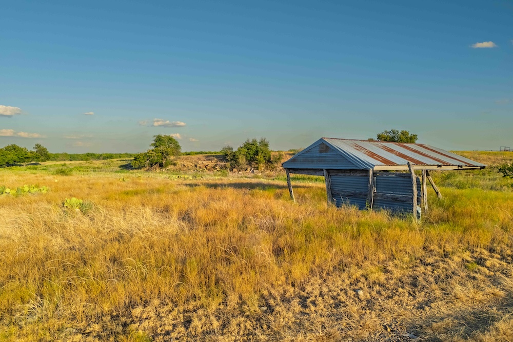
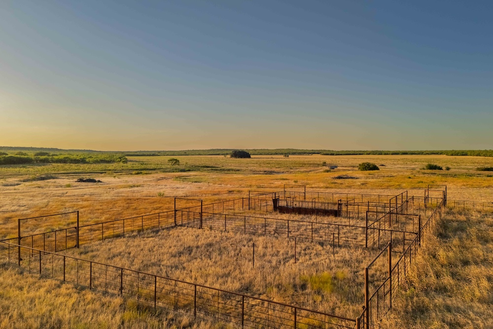
County Road 277 provides access to the ranch, and electricity is available on the county road. Cattle pens are located near the northwestern entrance. Perimeter and cross-fencing divide the acreage into practical sections for livestock and ranch management.
From the western ridge, the pieces of the ranch come into view: open ground giving way to woody vegetation, tanks set across the acreage and lower country following Crooked Creek. That relationship is the heart of Crooked Creek Ranch. For a buyer interested in hunting, livestock and long-term land stewardship, the property offers a coherent landscape with room to manage habitat, work cattle and shape a management plan around existing land features.
Summary
Address
Approximate Distances
Property
Land Details
Pasture
Tillable
Pond
Improvements/Features
Small Game, Big Game, Upland Game, Predators, Trail Network
Details
- 652.78± contiguous acres in southwest Callahan County
- Approximately 150 feet of elevation change, ranging from about 1,790 to 1,940 feet
- Wet-weather Crooked Creek corridor
- 4 Earthen Tanks
- Approximately 117 acres of non-irrigated tillable ground
- Cattle pens, perimeter fencing and cross-fencing
- County Road 277 access with electricity available on the county road
Area Links
Other
Coordinates
Annual Taxes

Nearby Related Properties
Stay Connected
Be Part of a Thriving Land Community!
Get the same expert advice, property strategies, and land management tips that thousands of landowners trust. Subscribe now and stay ahead in the market.