La Plata County
38.76± Acres Just 12 Minutes From Durango
TBDWP County Road 141 Hesperus, CO 81326
Media
Description
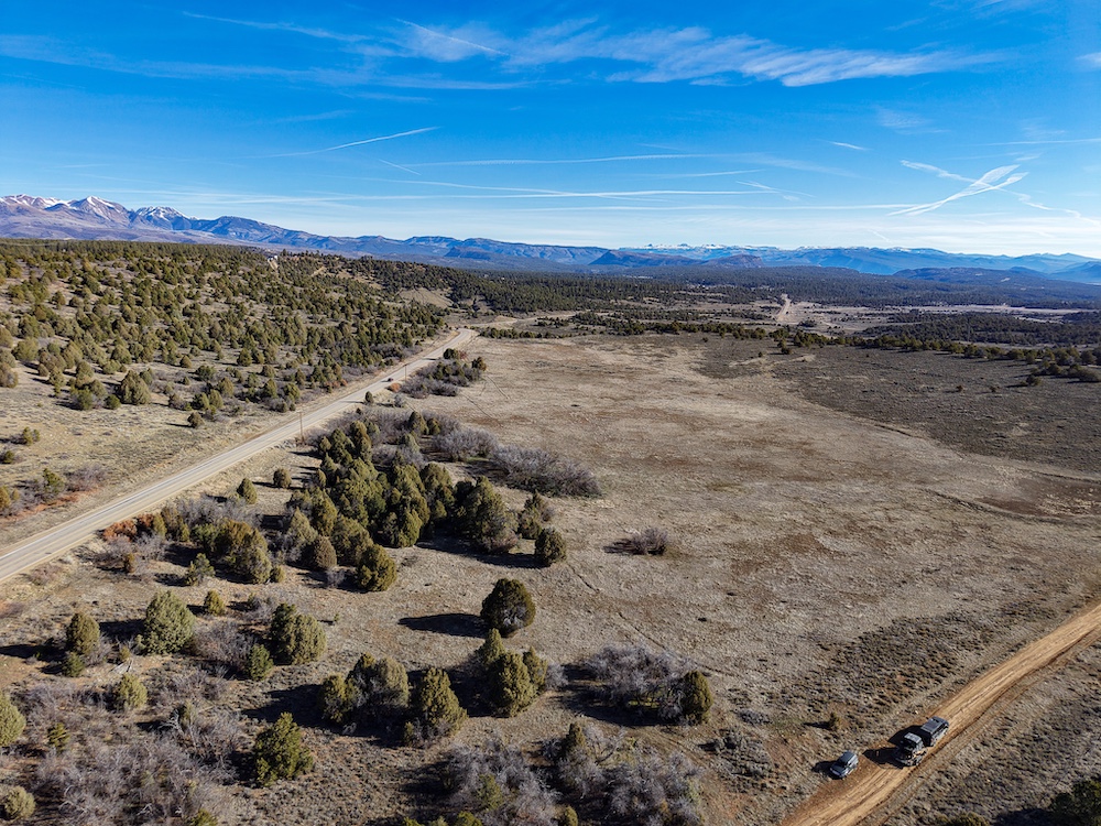
38.76± Acres/Durango, Colorado
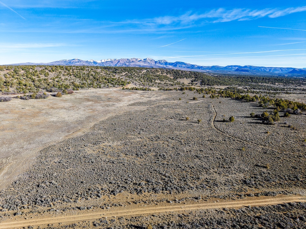
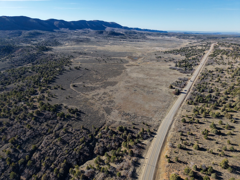
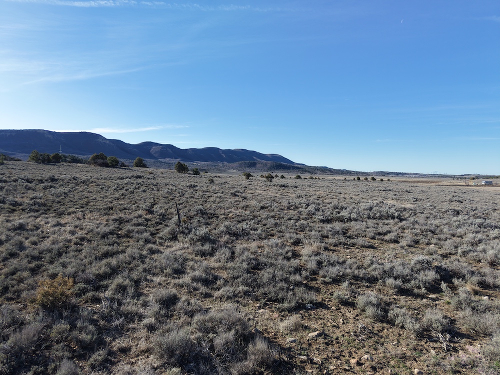
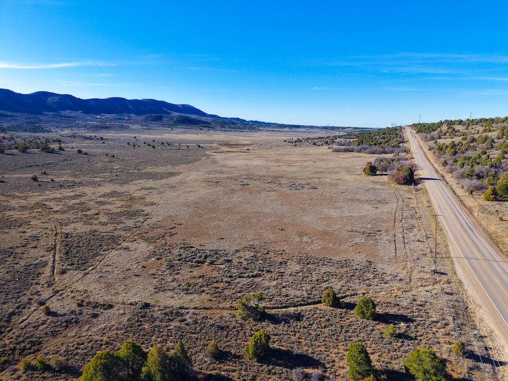
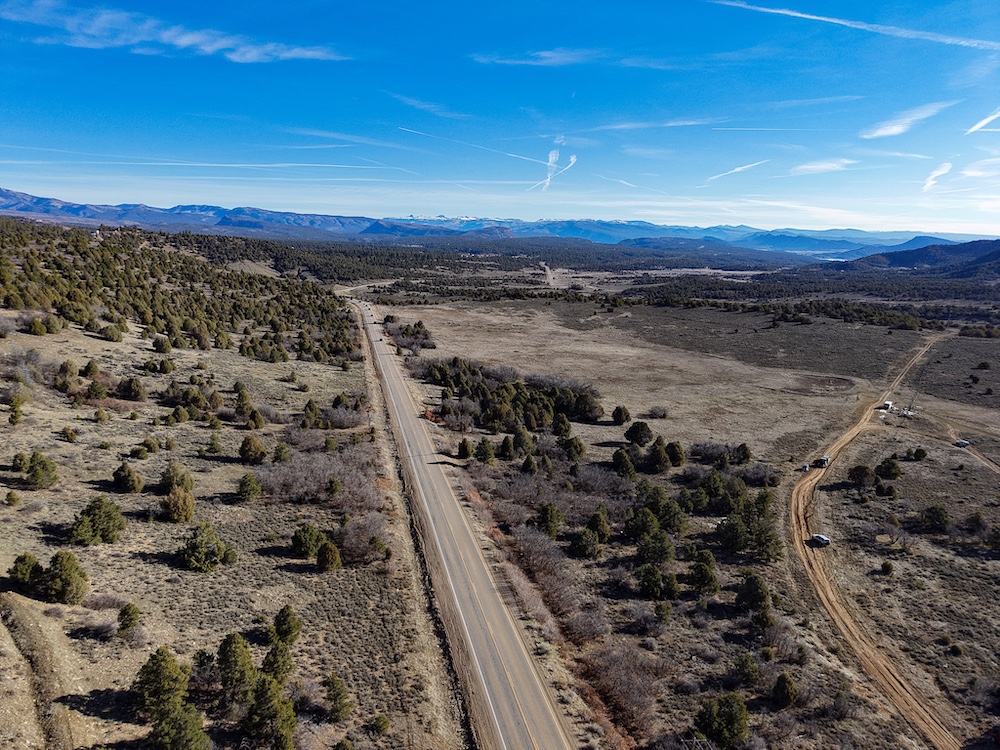
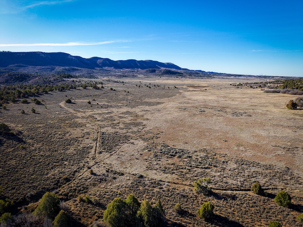
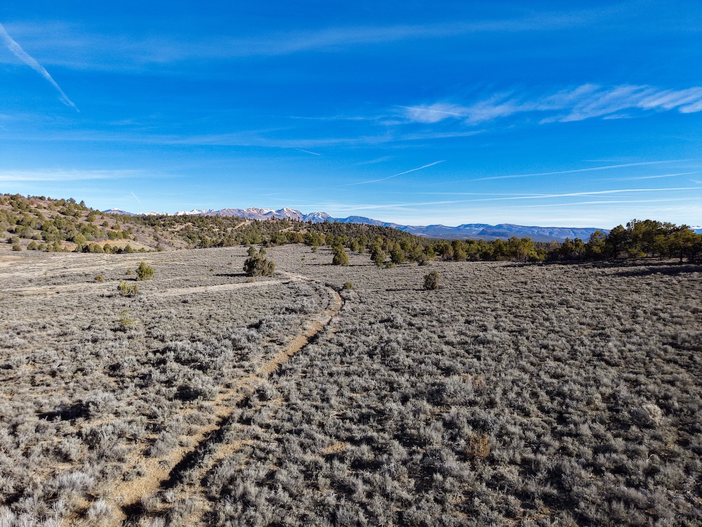
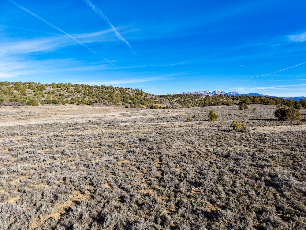
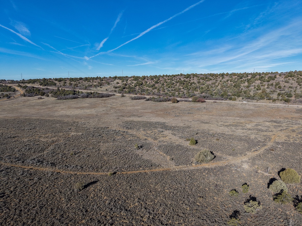
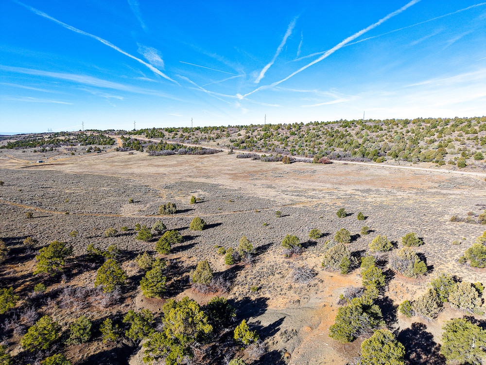
This 38.76± acre tract is located just 12 minutes from downtown Durango with paved access the entire way and direct frontage on County Road 141. Properties with this level of accessibility, while still offering usable acreage and privacy, are getting harder to find.
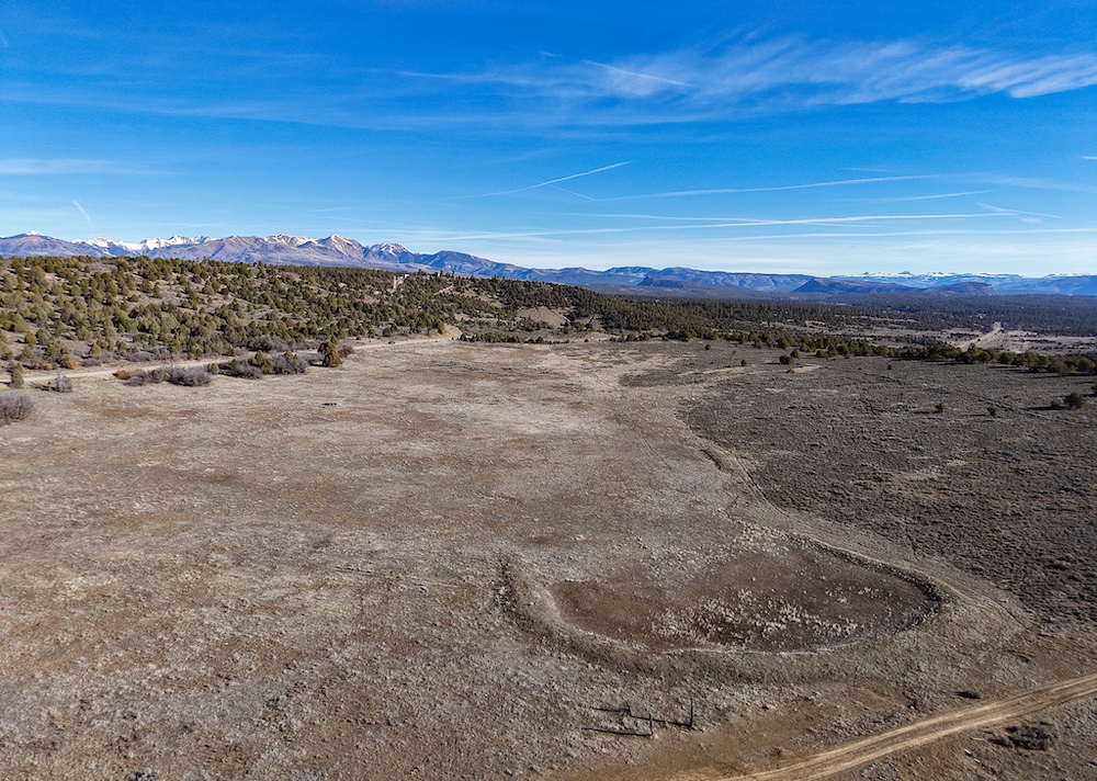
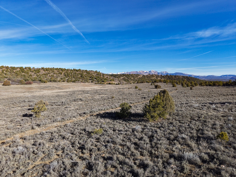
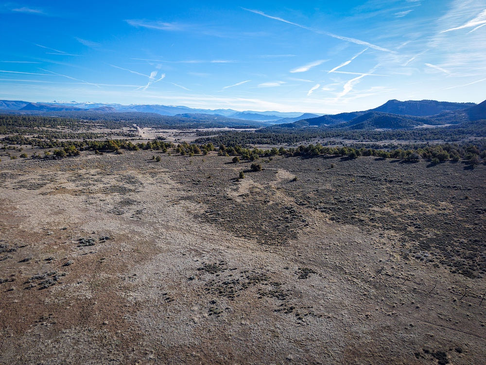
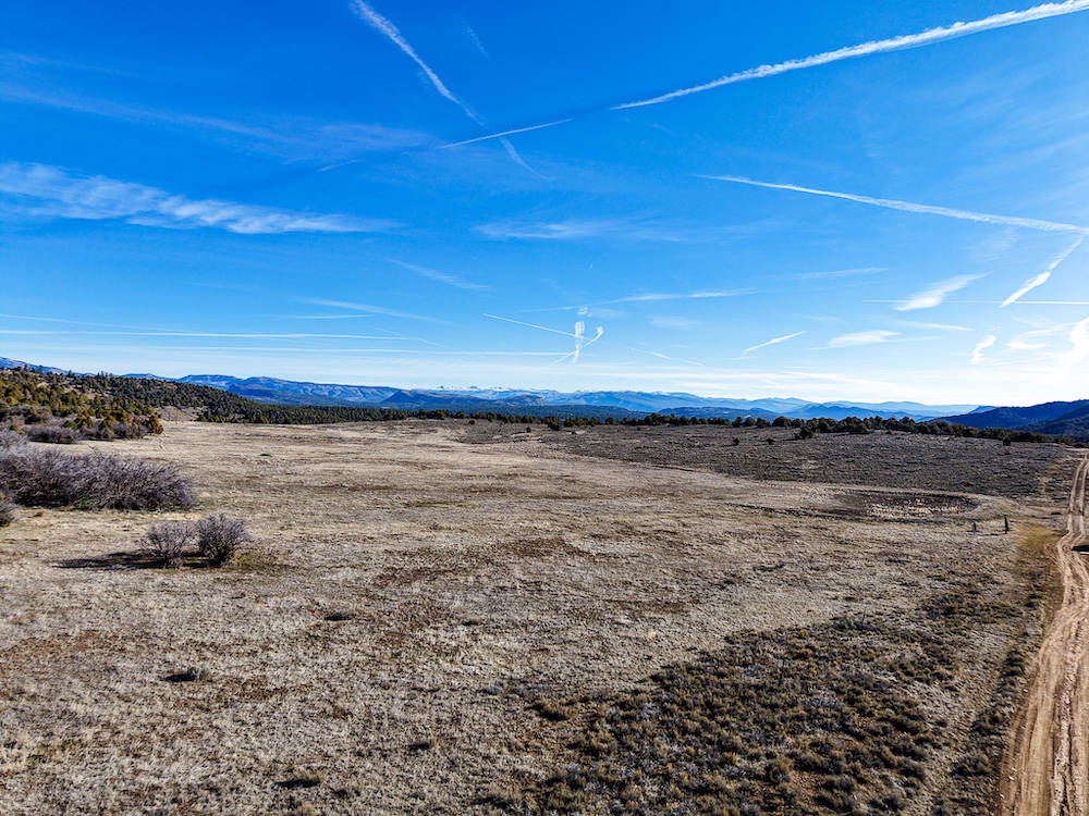
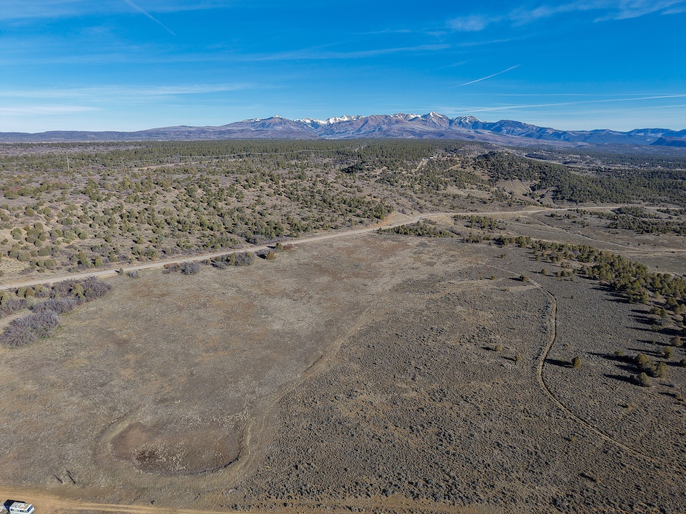
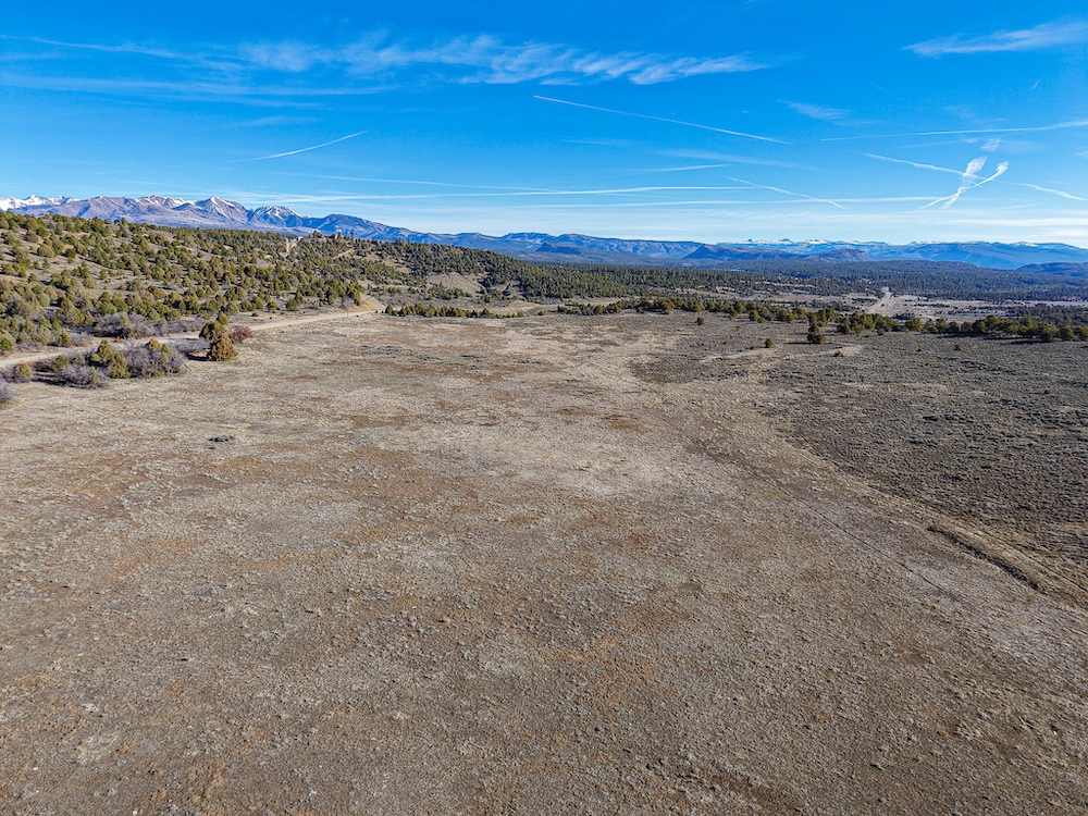
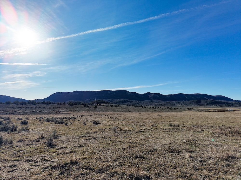
The location is a standout feature—just 8 minutes from Lake Nighthorse, providing quick and convenient access for boating, fishing, and recreation. The property also captures views of the La Plata Mountains, with Lake Nighthorse visible in the distance, creating a strong overall setting without being far from town.
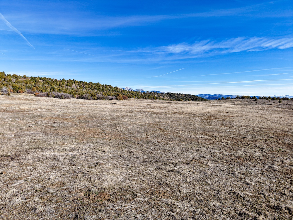
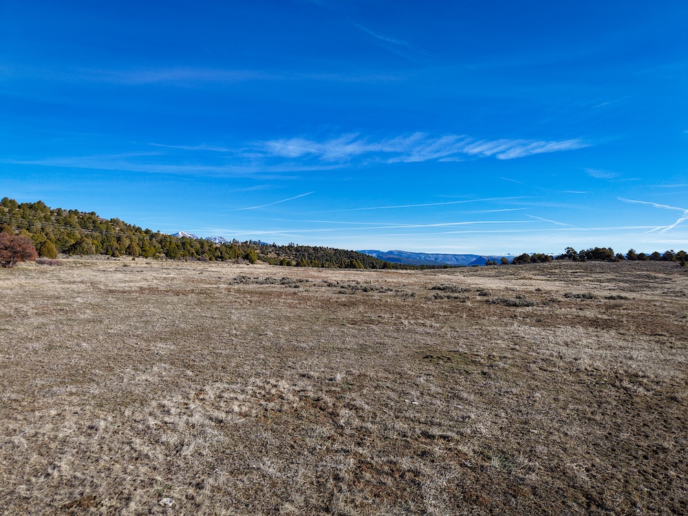
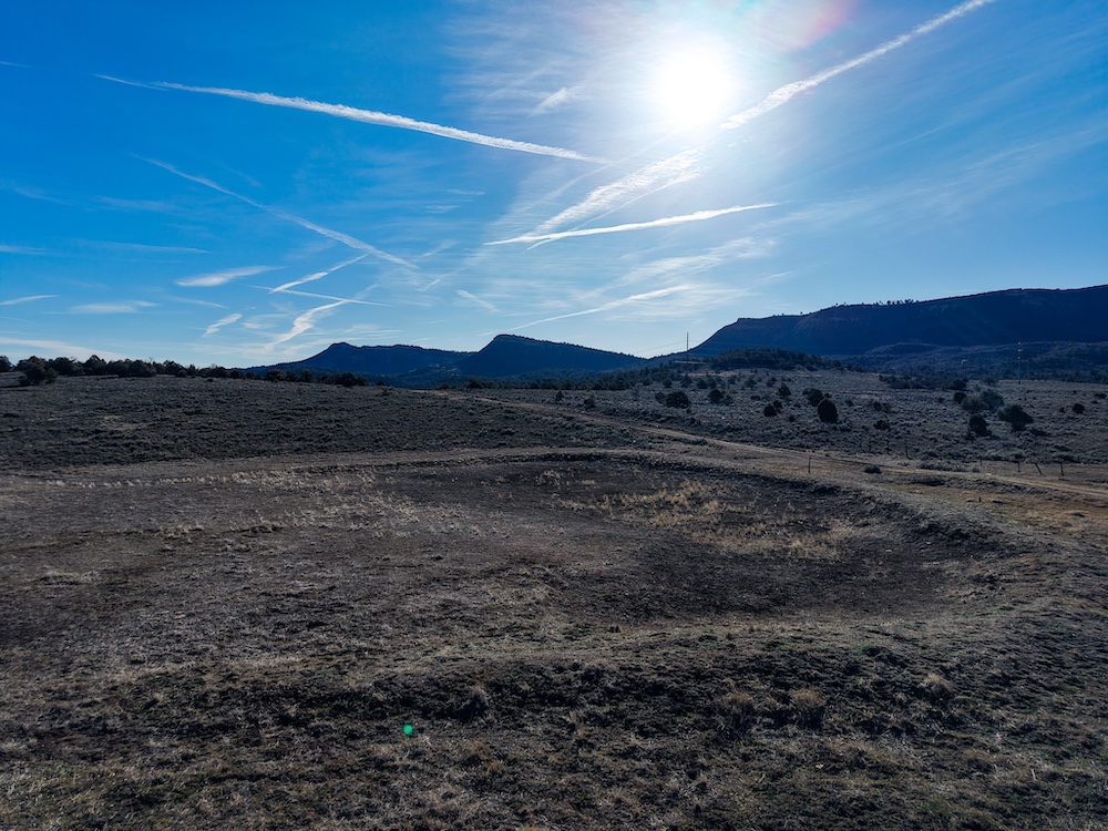
The land offers a good mix of meadow, timber, and gently rolling terrain, with multiple build site options. A seasonal pond adds to the character of the property and complements the natural layout.
Wildlife is consistent, with deer, elk, and turkeys regularly moving through the area. The eastern boundary borders Southern Ute tribal lands, helping preserve a sense of space and limiting future development in that direction.
Power is available at the property line, allowing for a straightforward path to building. Whether for a primary residence, recreational use, or long-term investment, this property offers a strong combination of location, access, and usability just outside of Durango.
Summary
Address
Approximate Distances
Property
Land Details
Pasture
Timber
Grass
Open
Pond
Improvements/Features
Small Game, Big Game, Trail Network, Internal Road System, Gated Entrance
Details
- 38.76± acres near Durango, CO
- 12 minutes to downtown Durango
- Paved access the entire way + CR 141 frontage
- Only 8 minutes to Lake Nighthorse
- Views of the La Plata Mountains
- Mix of meadow, timber, and rolling terrain
- Multiple build site options
- Seasonal pond
- Eastern boundary borders Southern Ute tribal lands
Area Links
Other
Coordinates
Annual Taxes

Nearby Related Properties
Stay Connected
Be Part of a Thriving Land Community!
Get the same expert advice, property strategies, and land management tips that thousands of landowners trust. Subscribe now and stay ahead in the market.