Schuyler County
Hunting Property On Dead End Road Located In The Lamoine River Corridor
Forsythe Road Rushville, IL 62681
Description
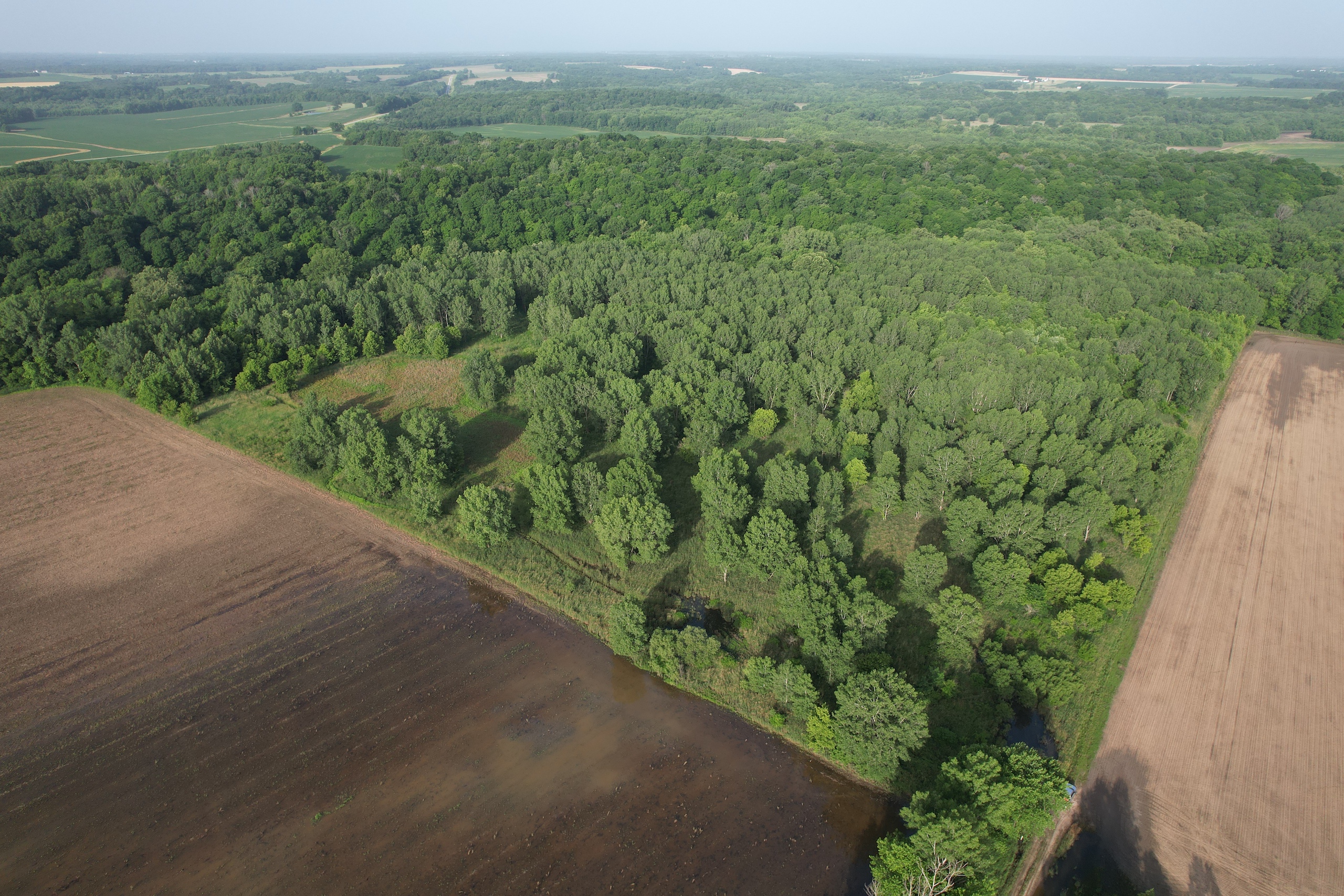
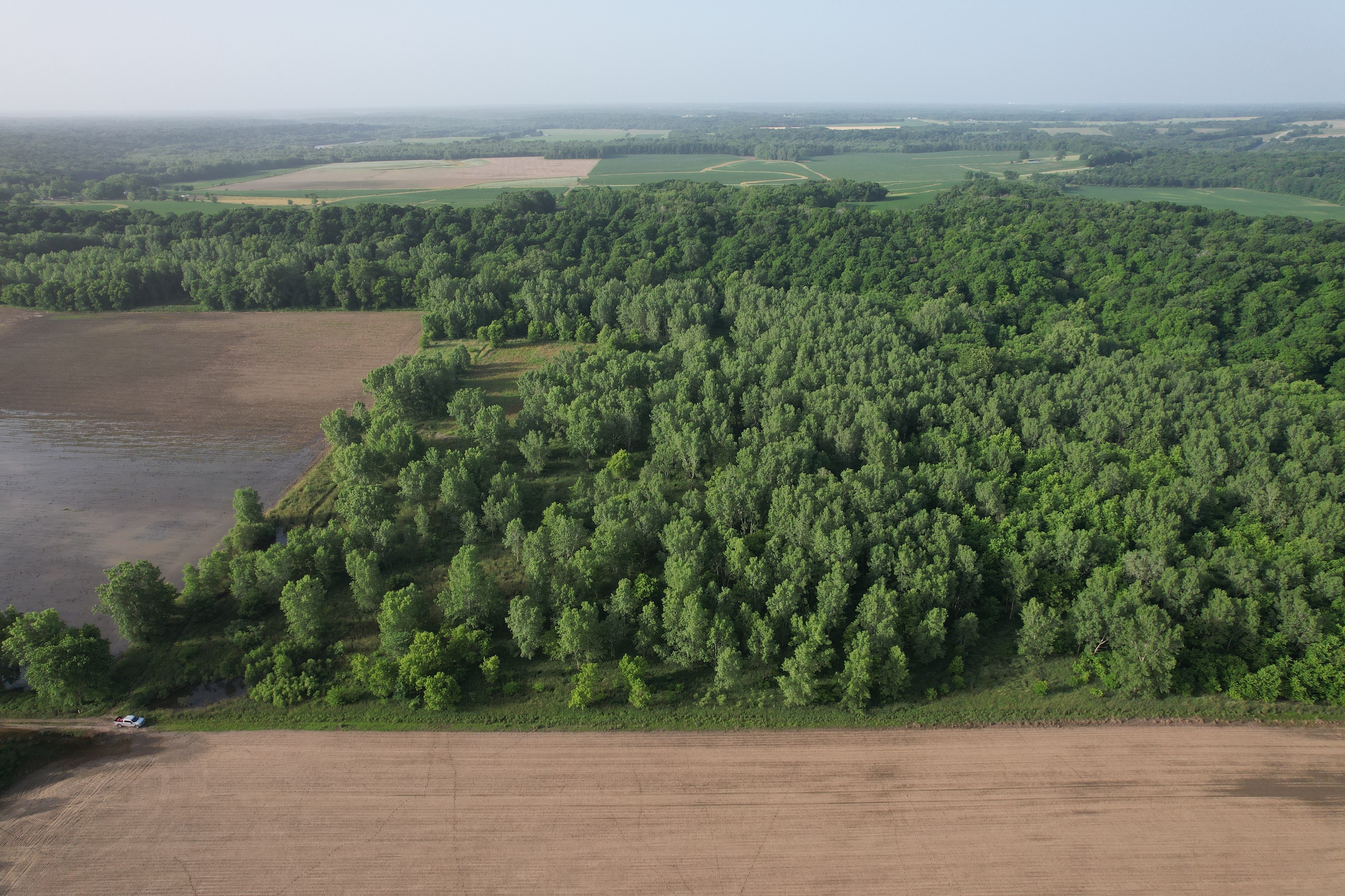
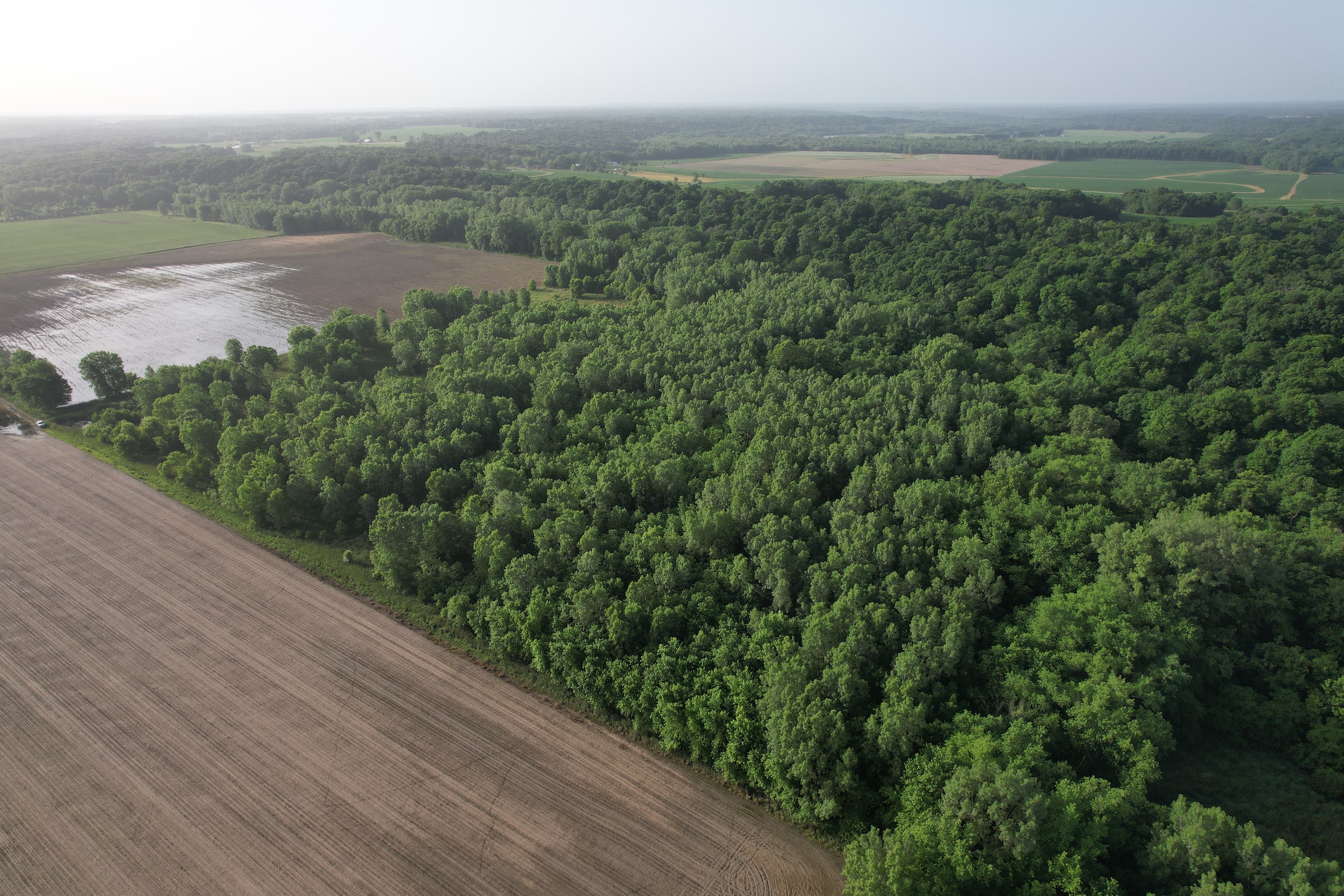
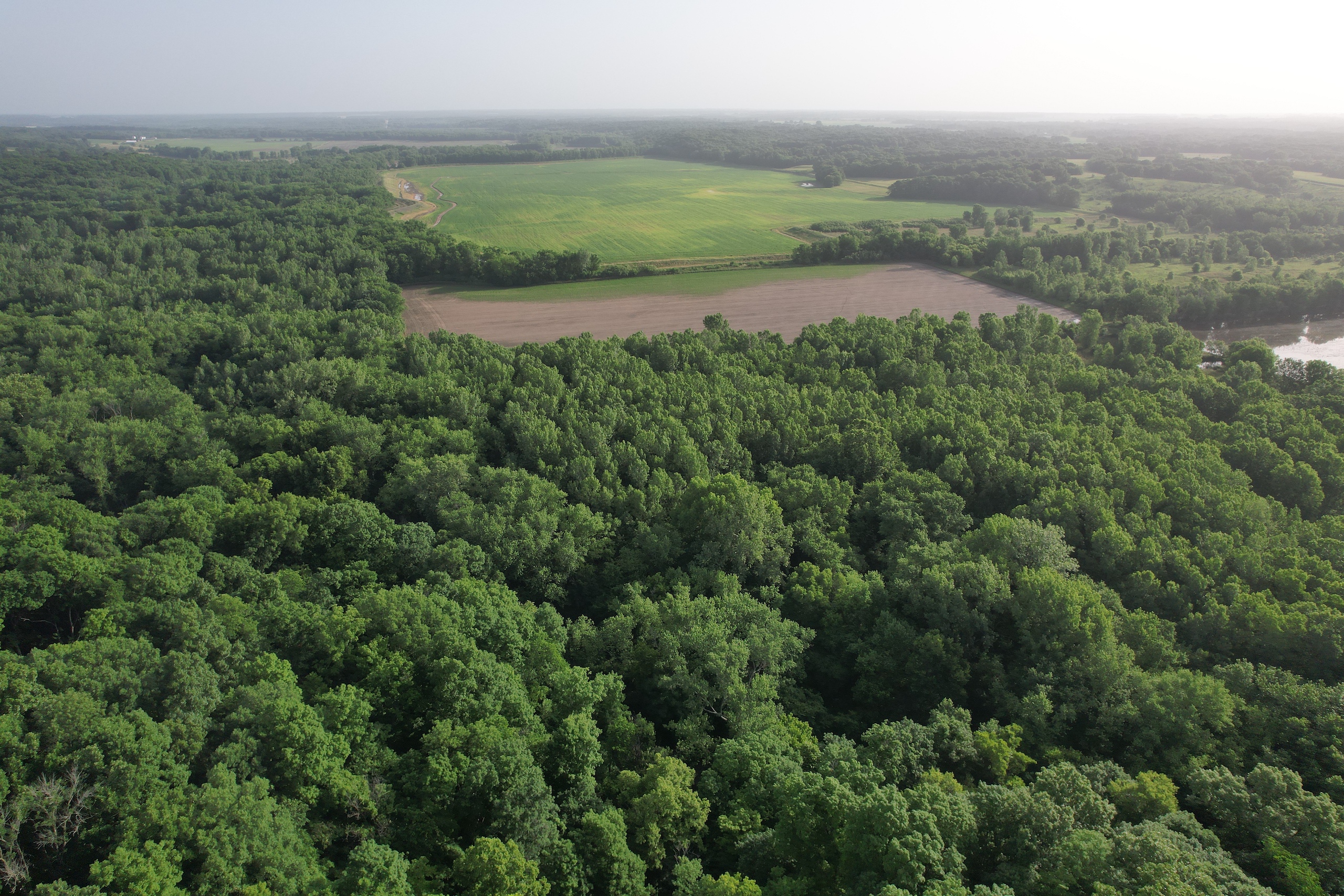
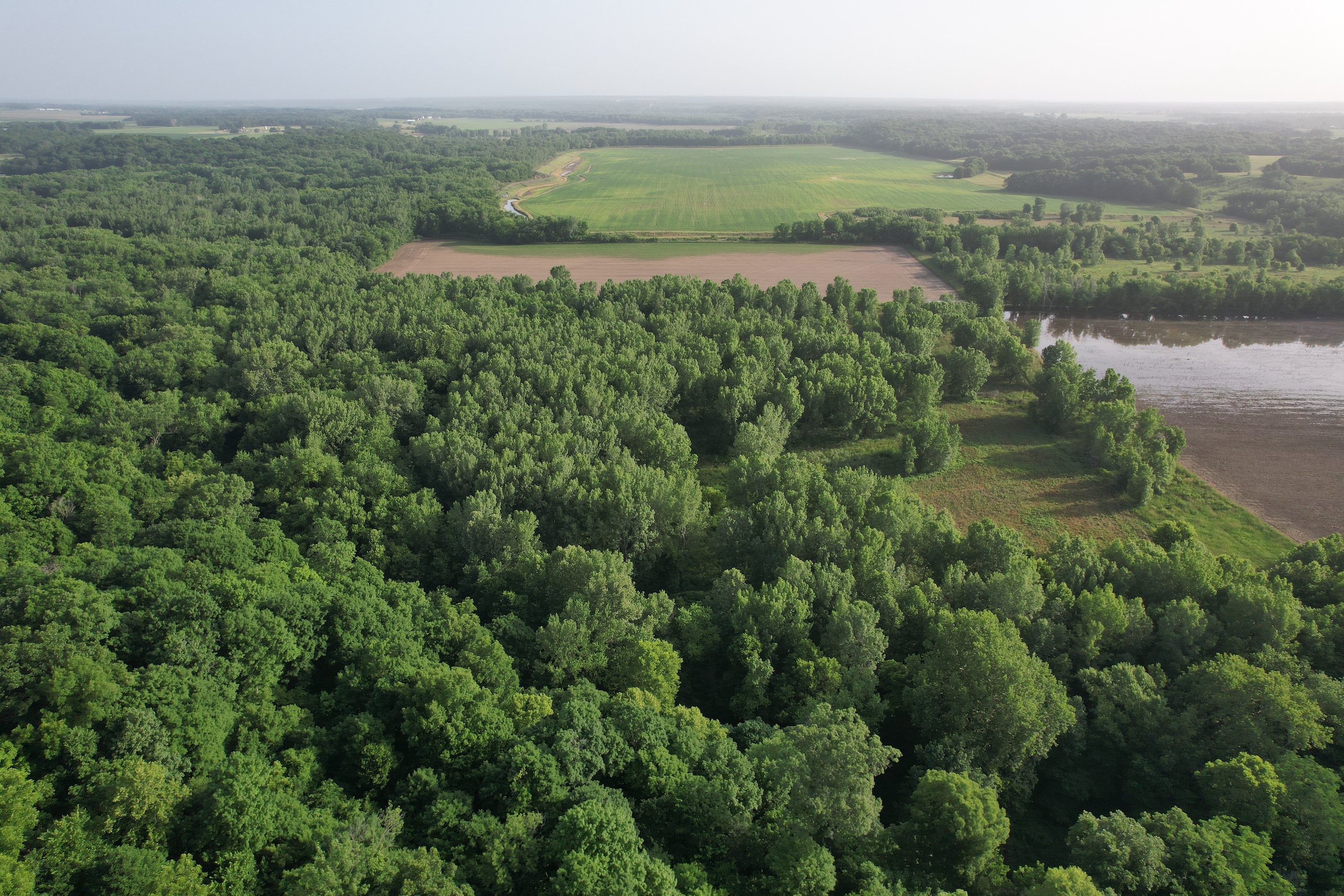
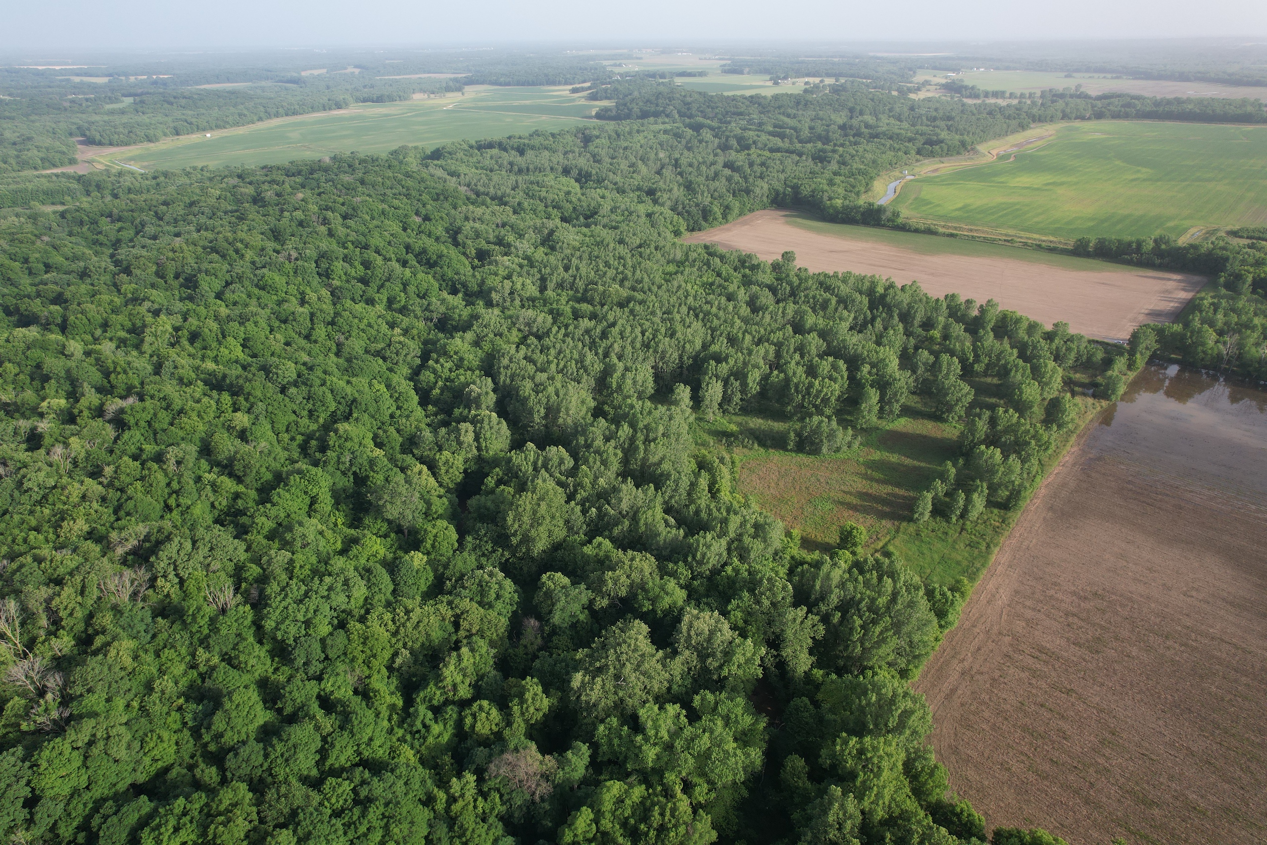
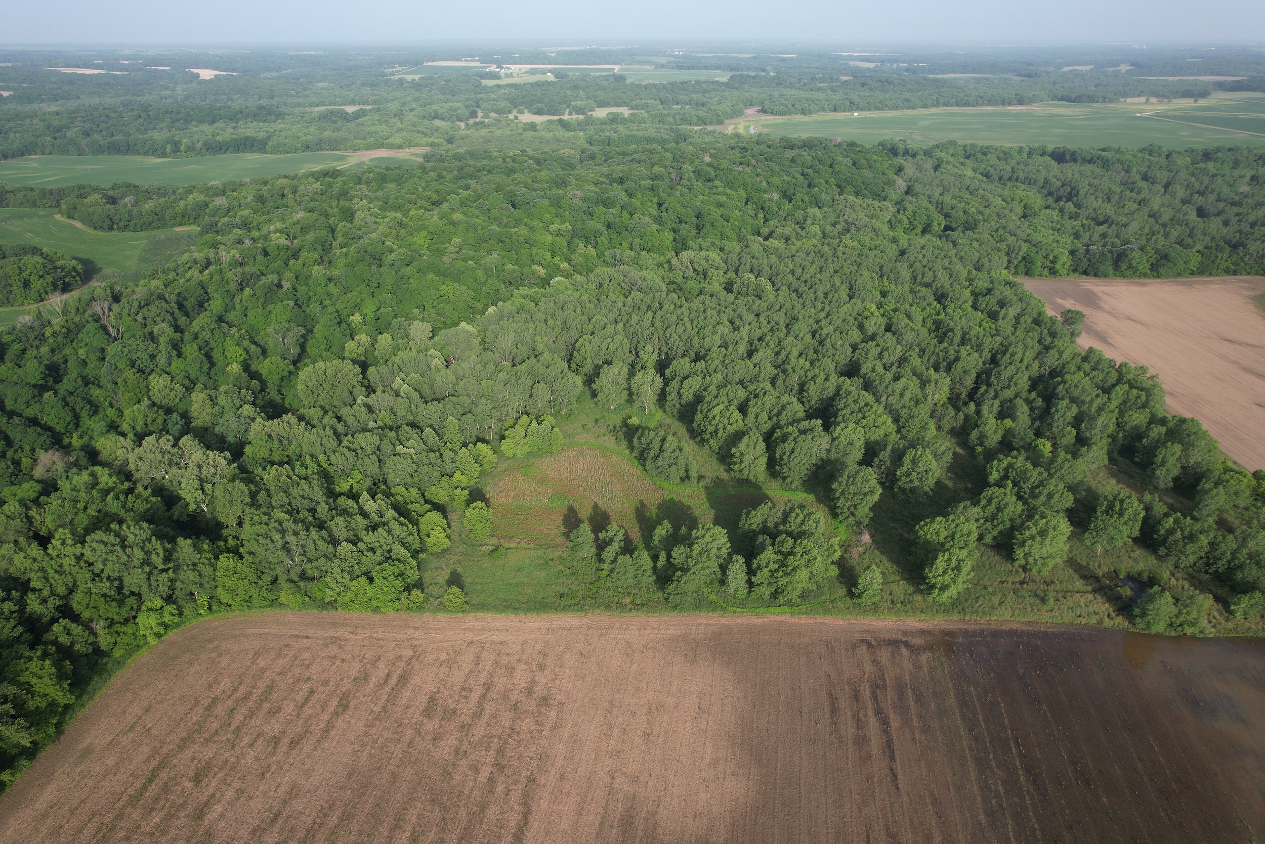
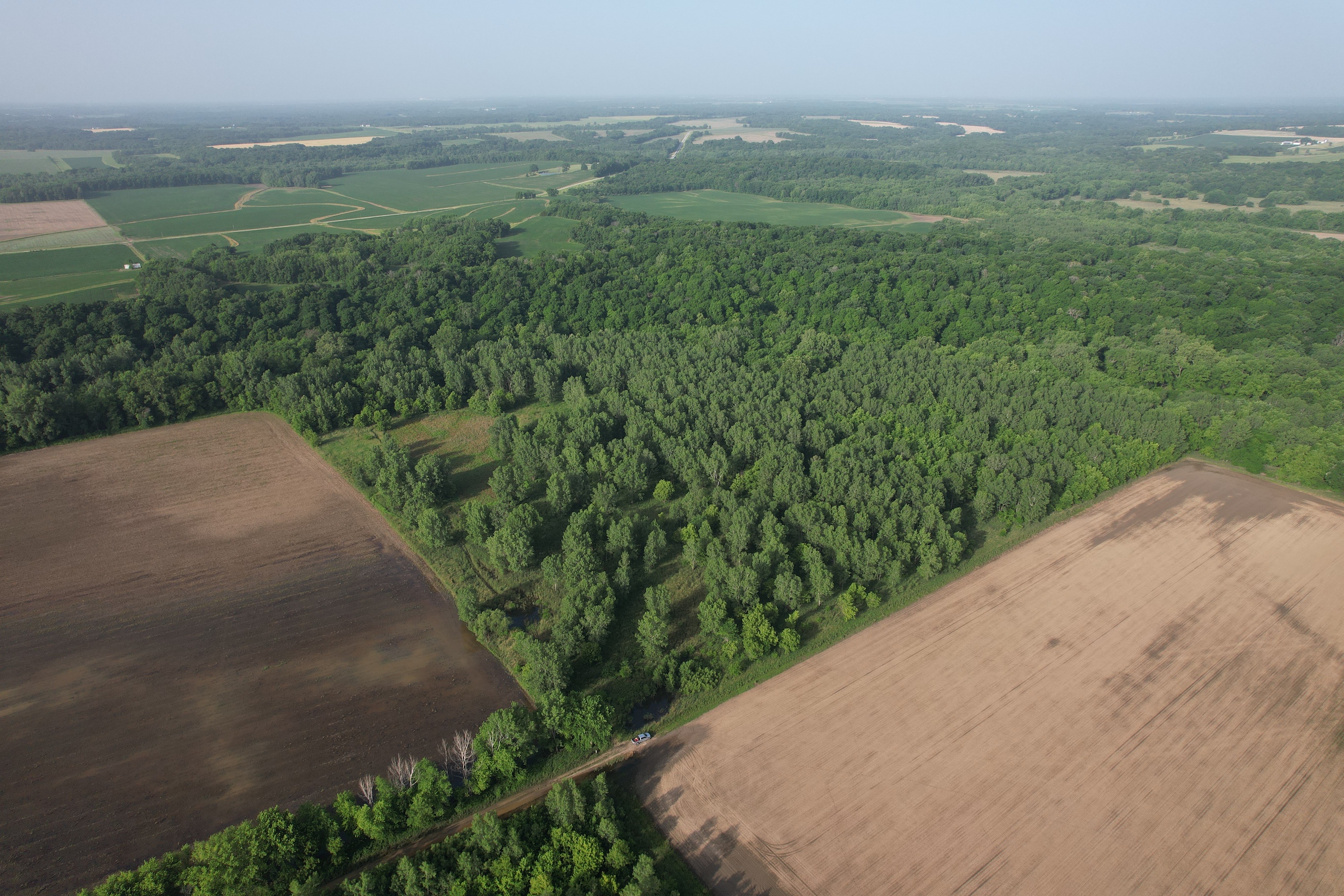
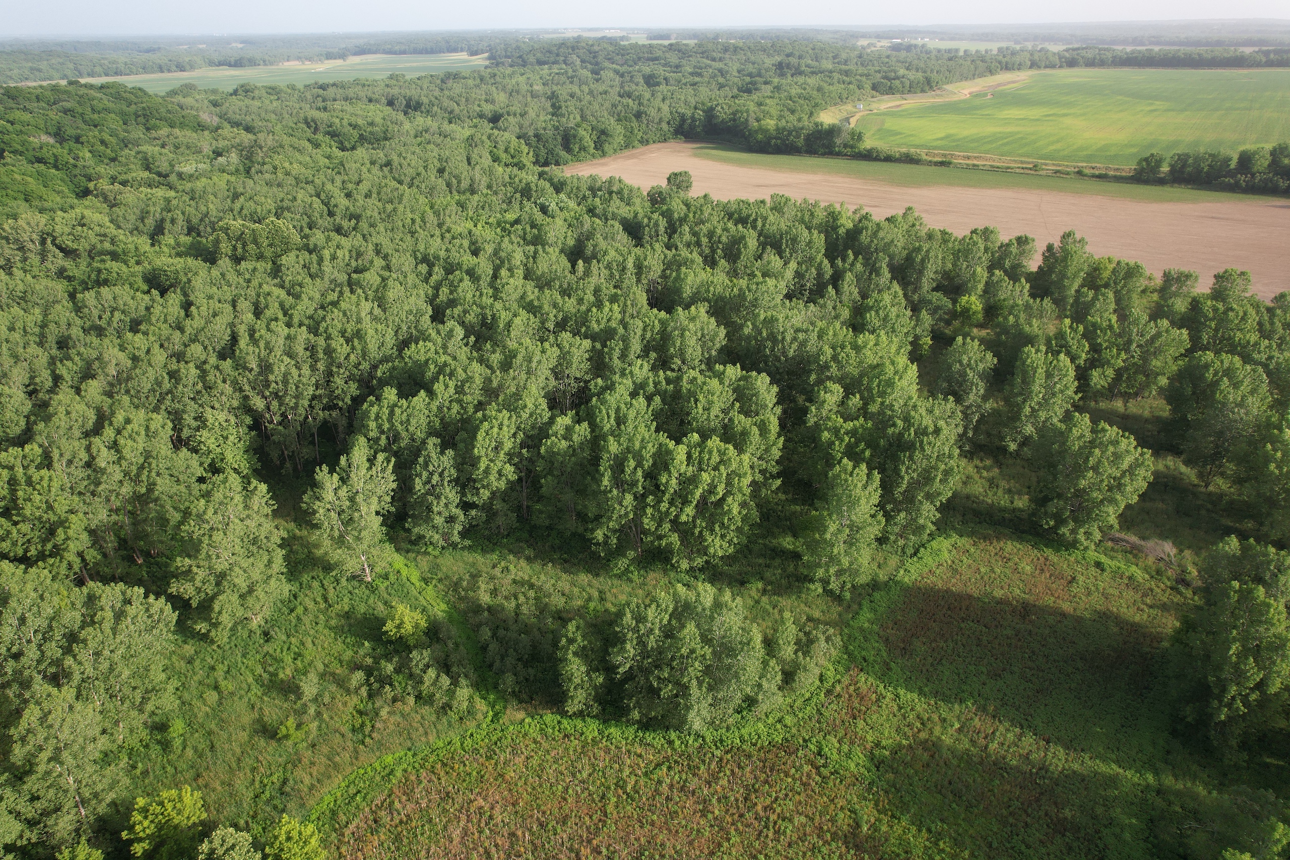
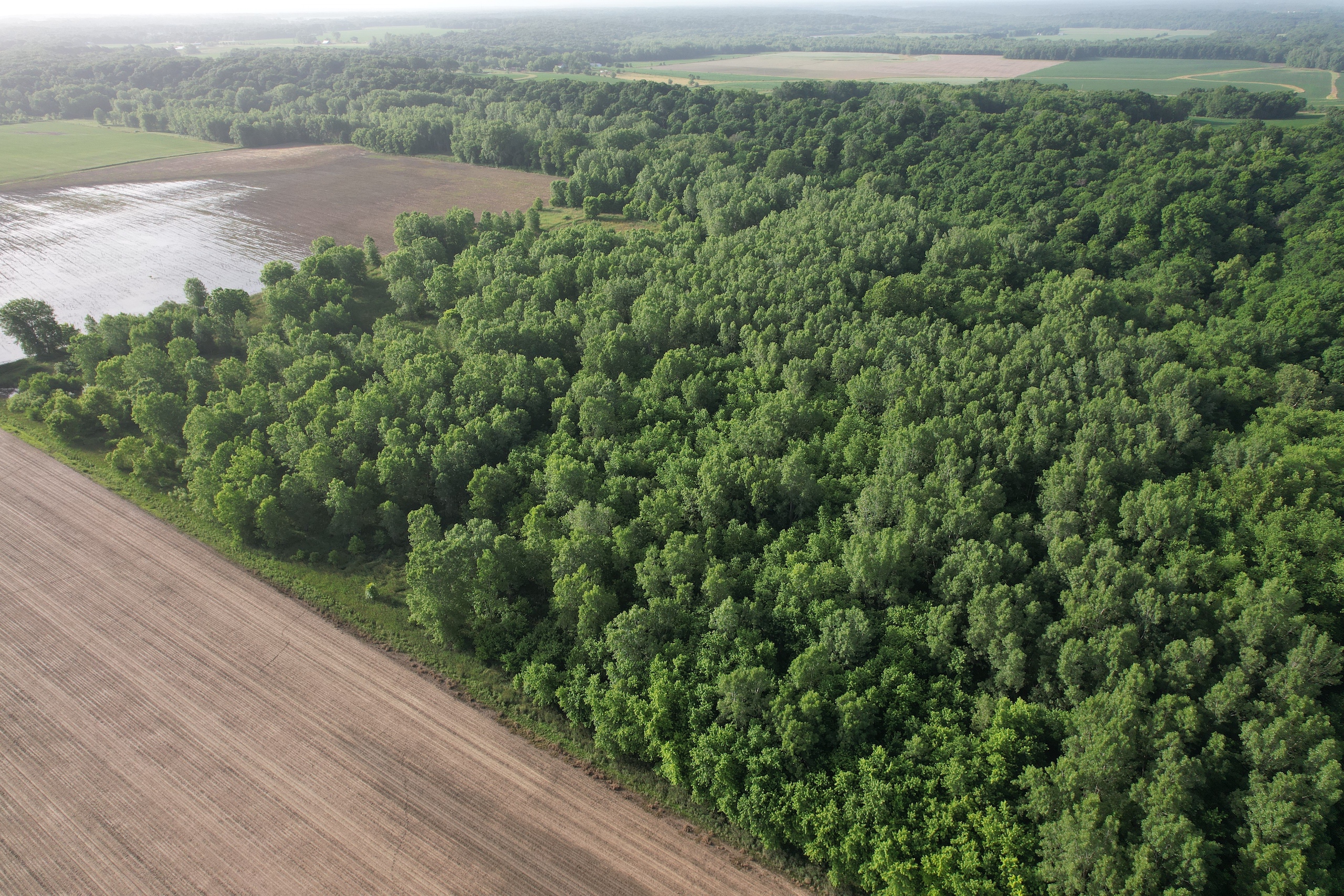
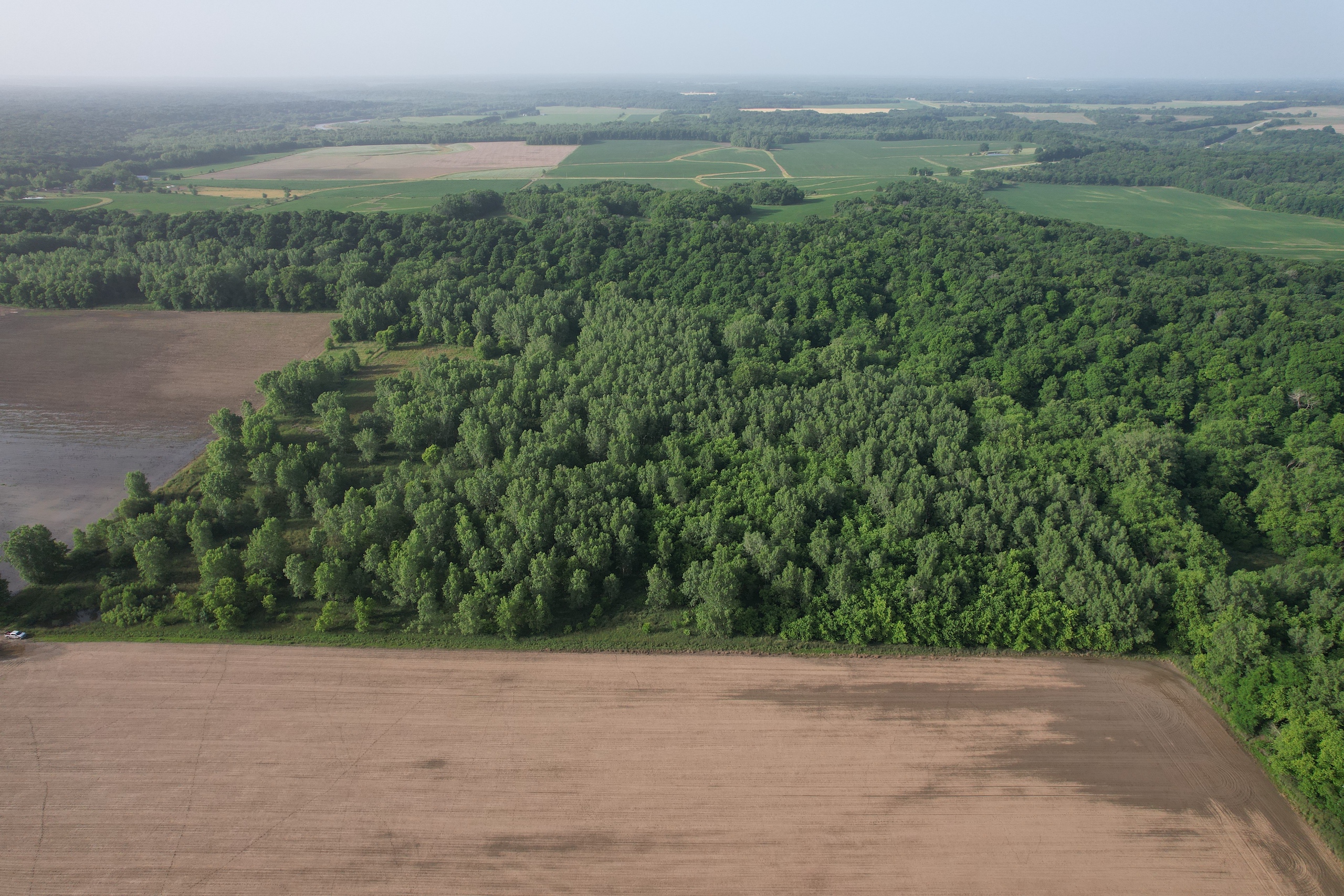
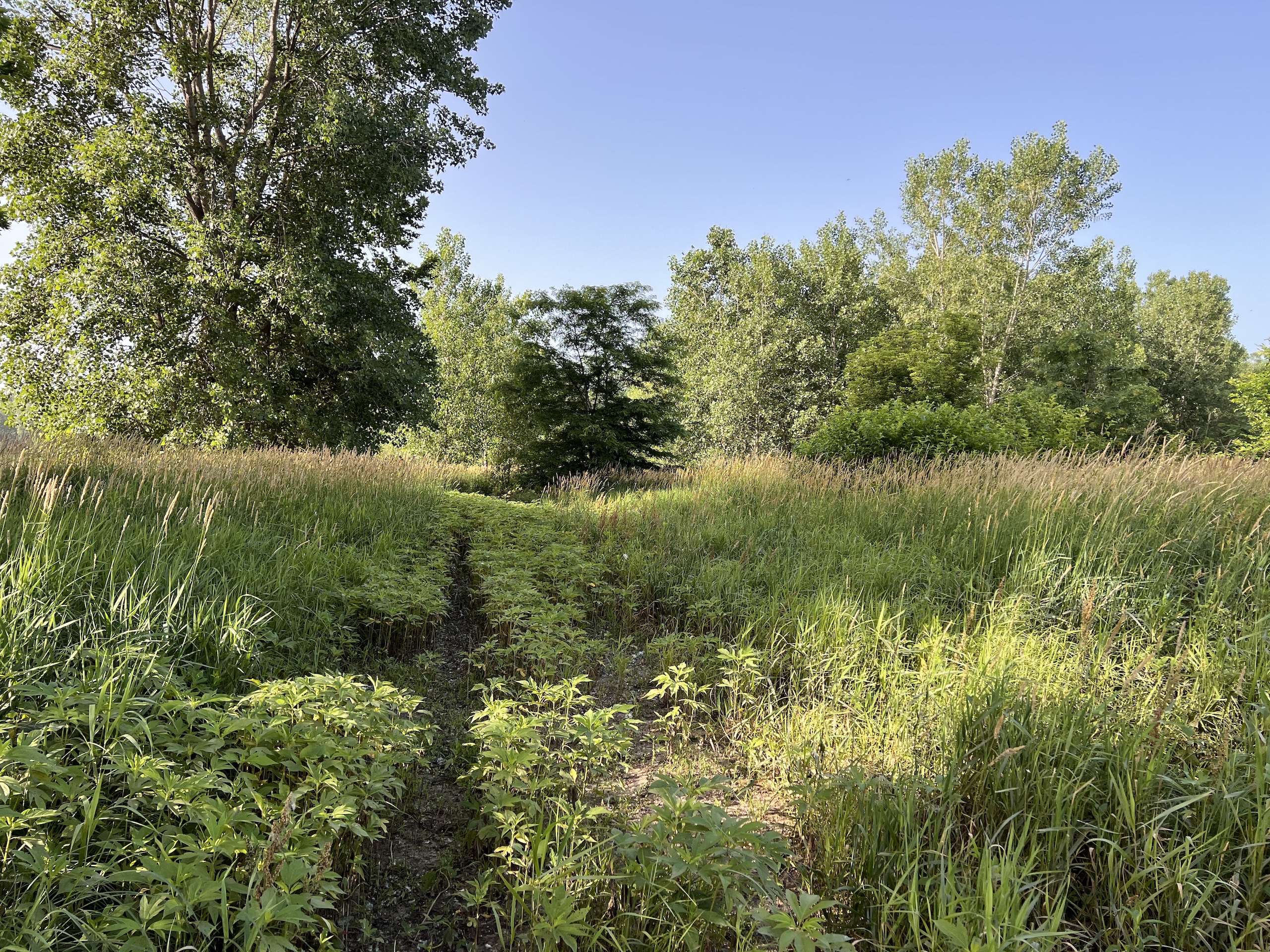
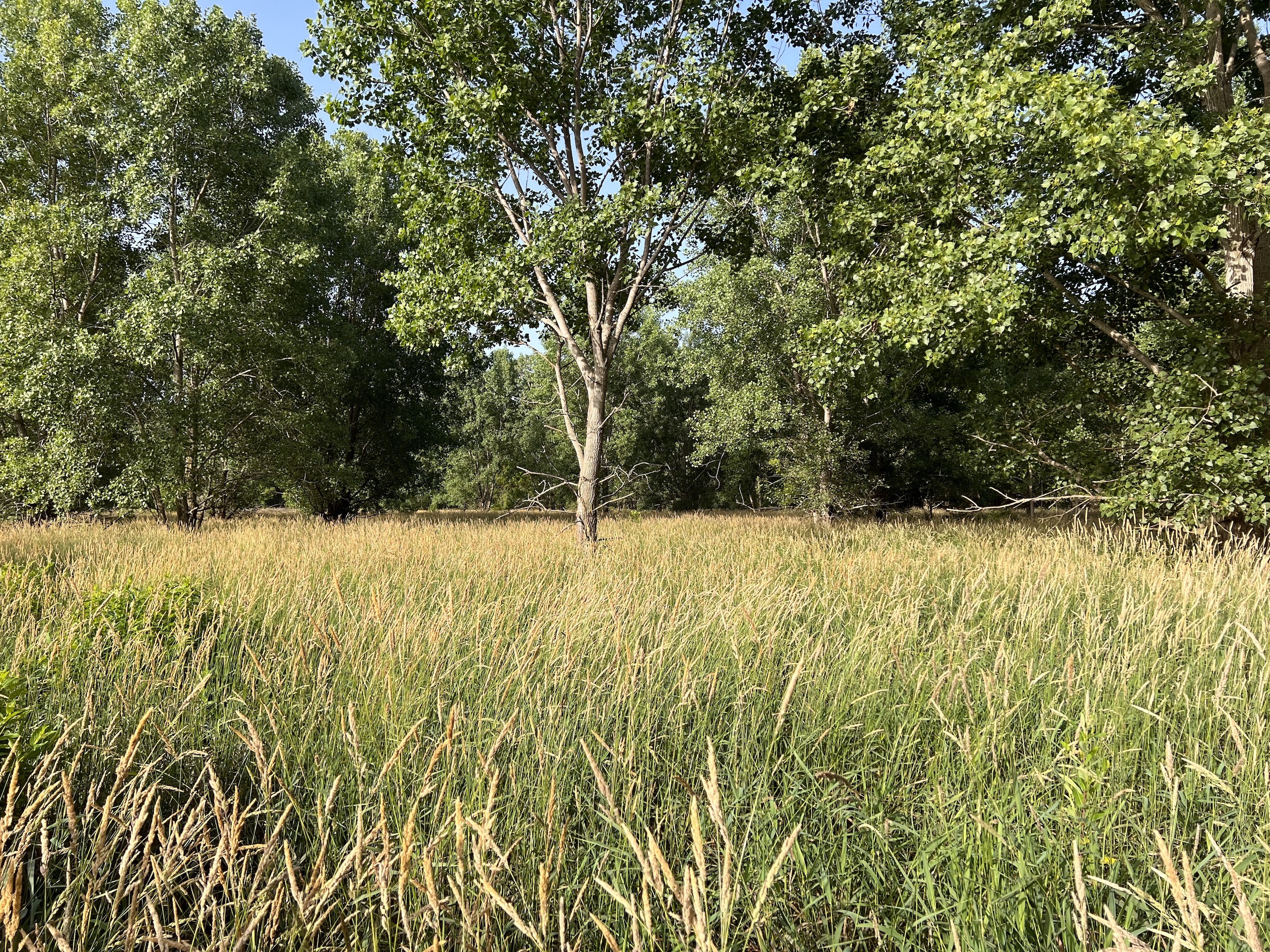
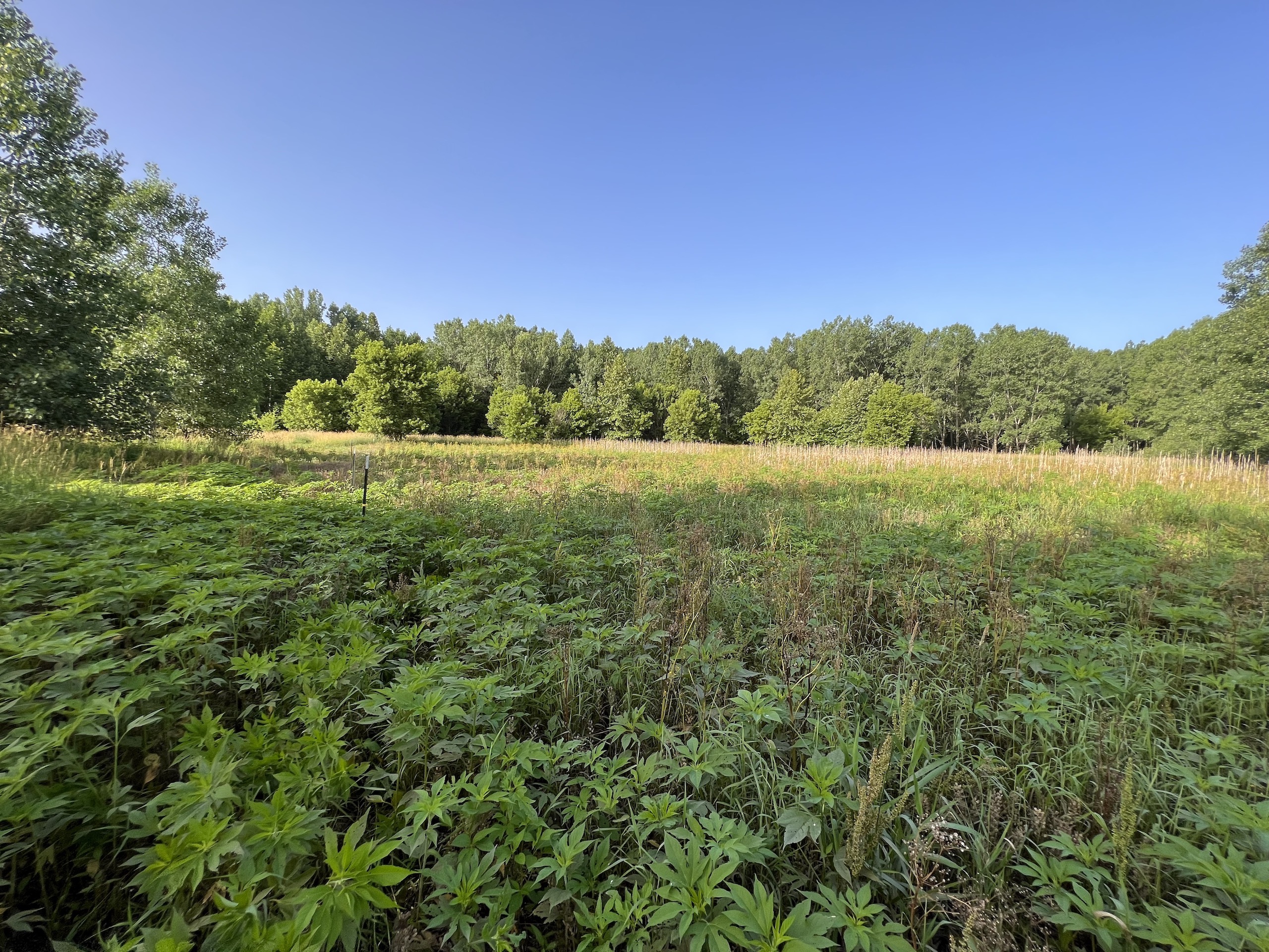
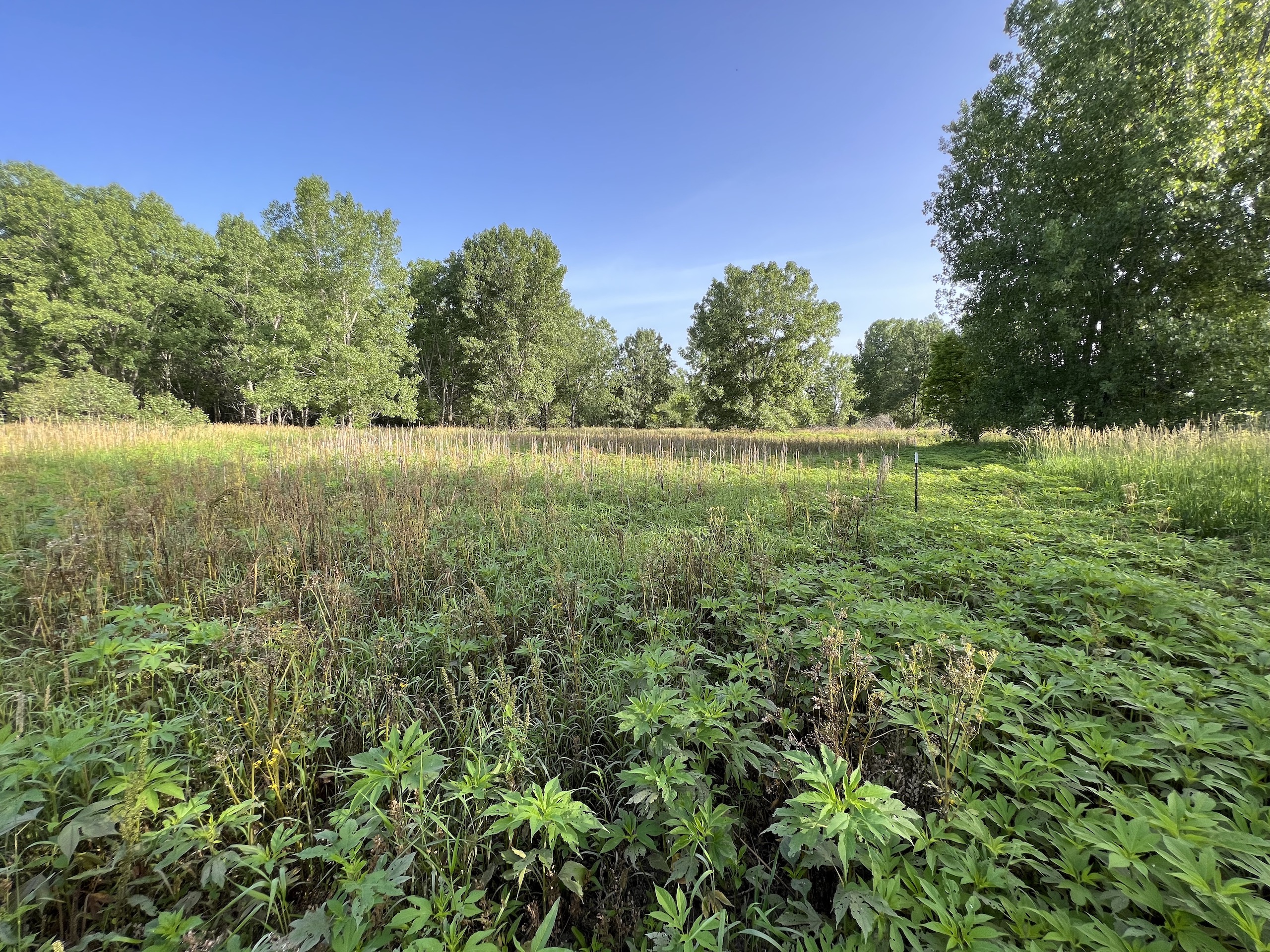
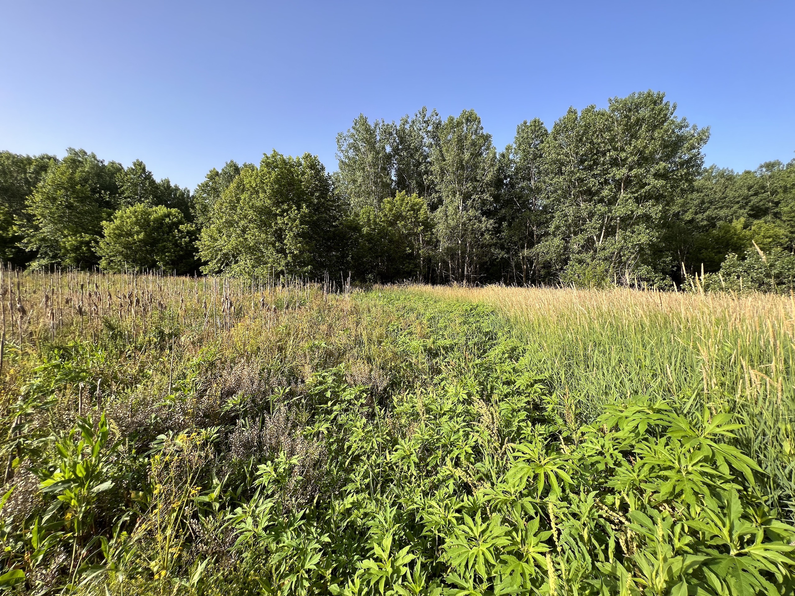
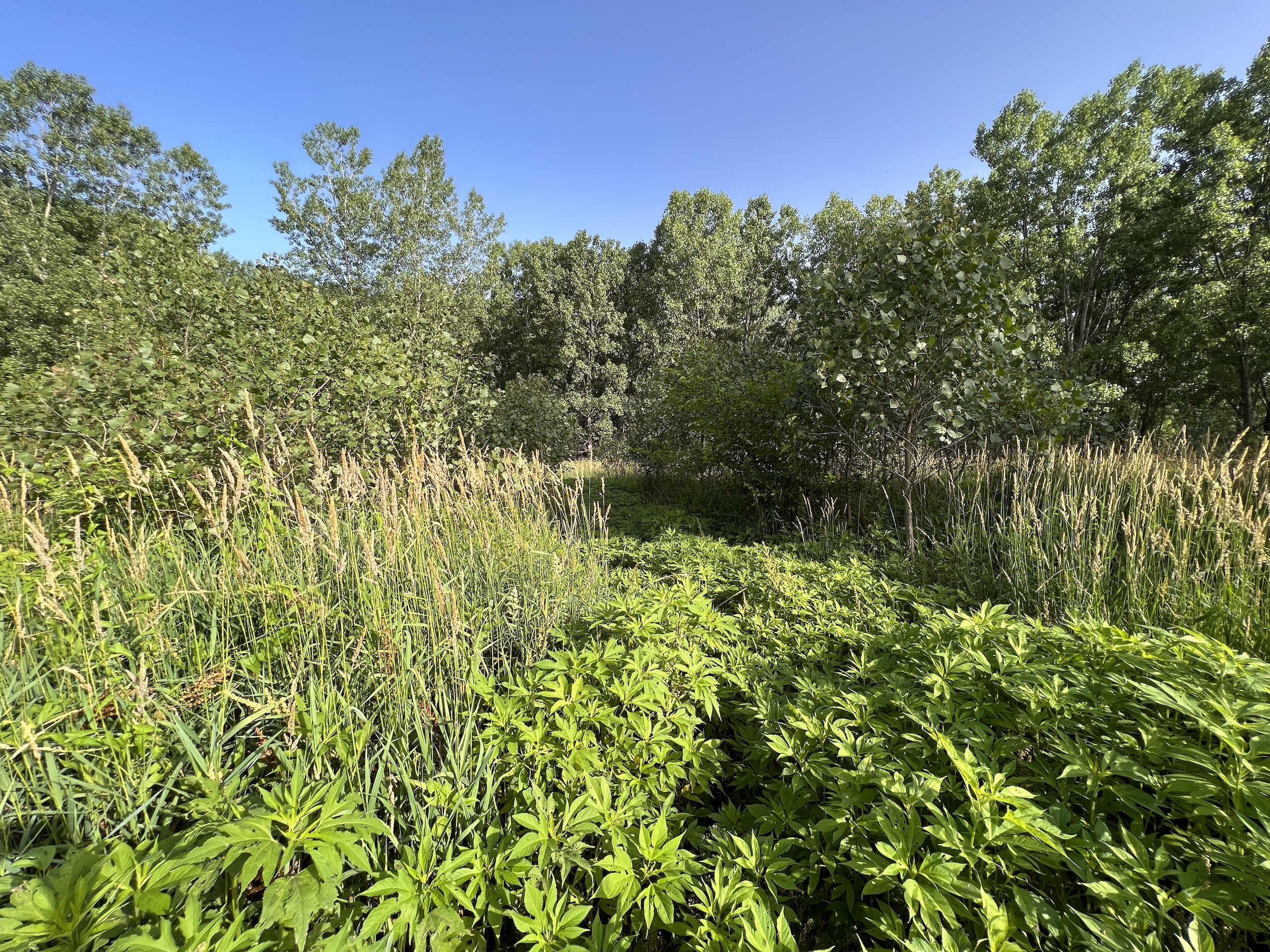
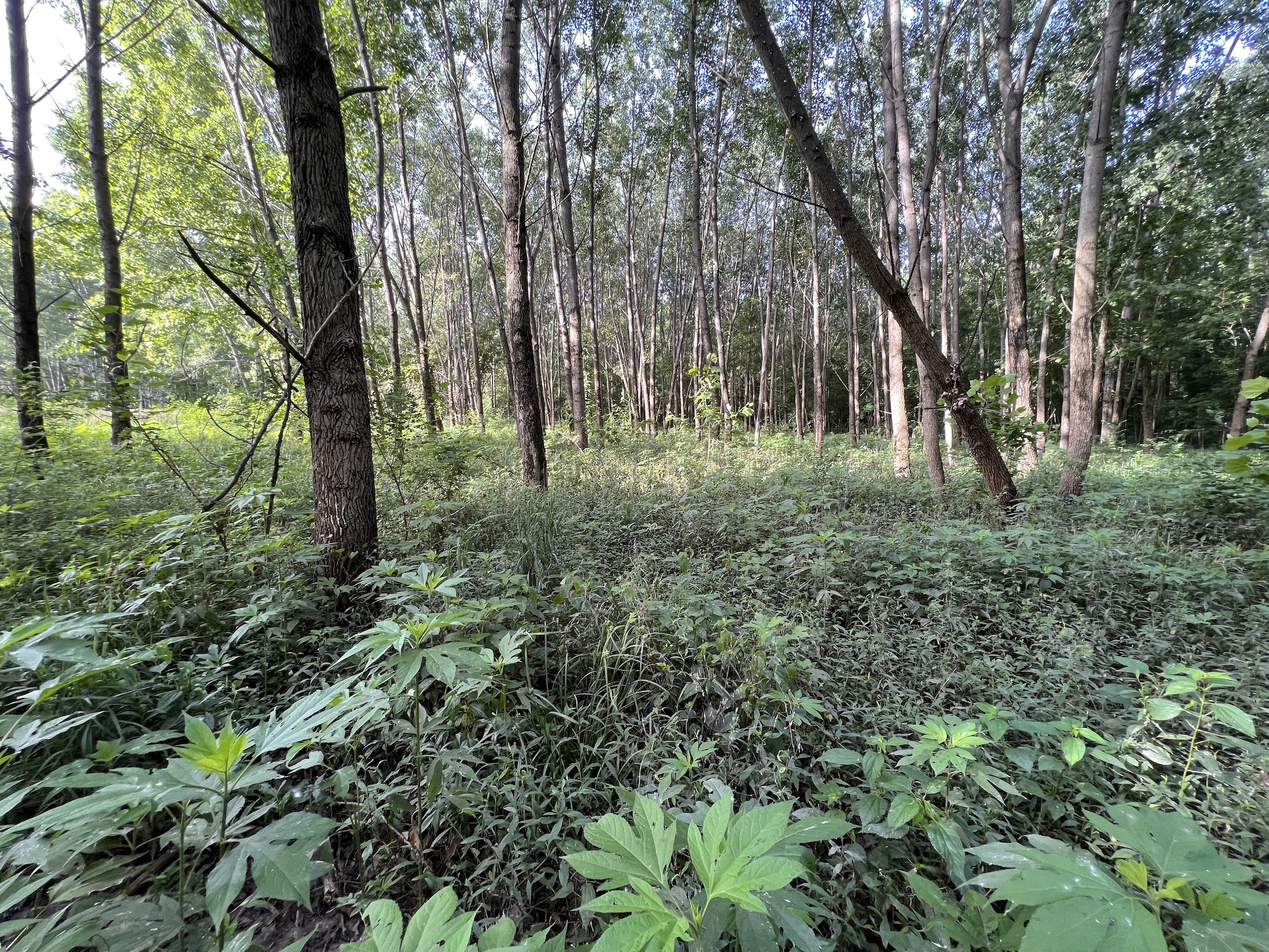
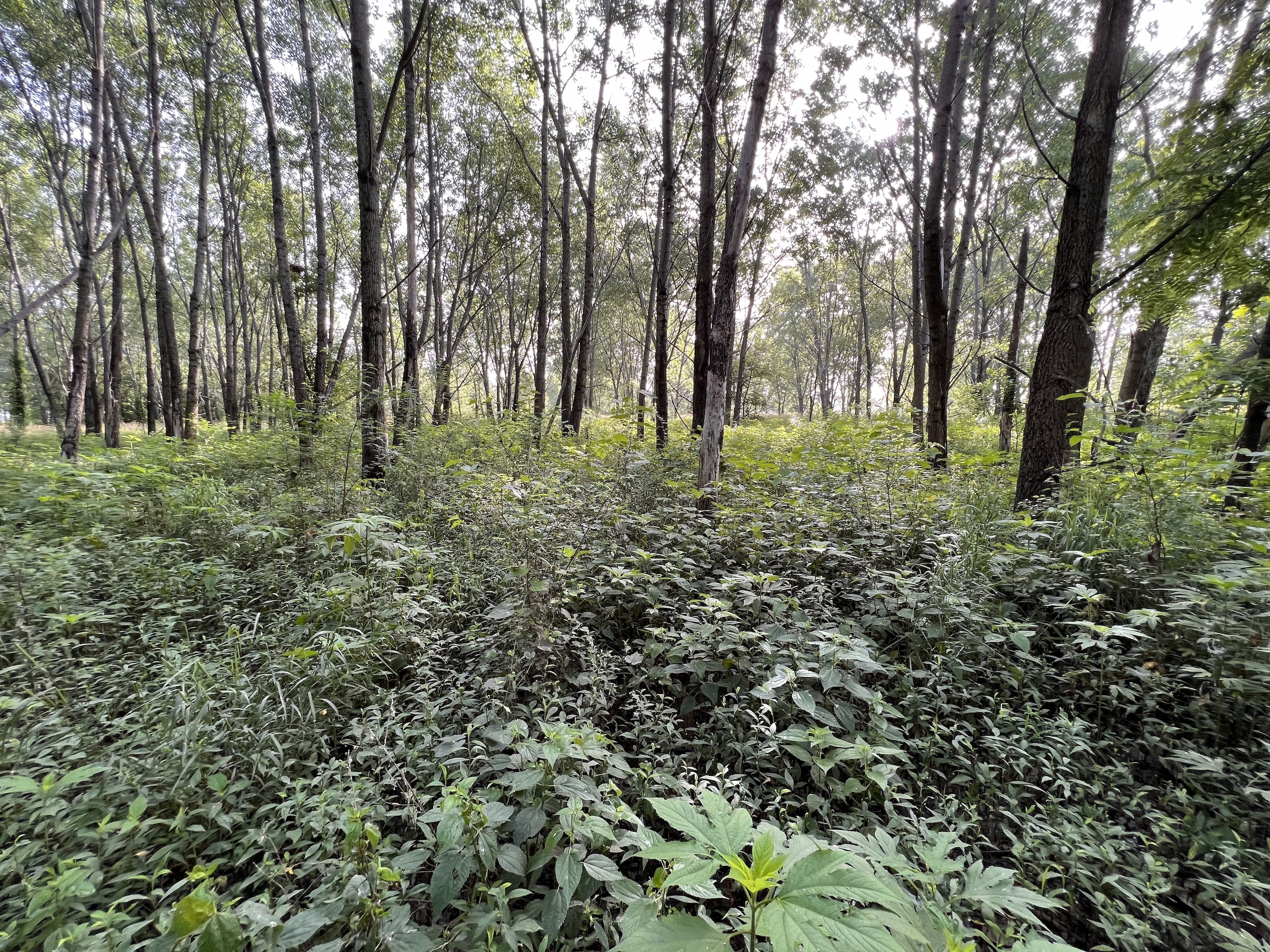
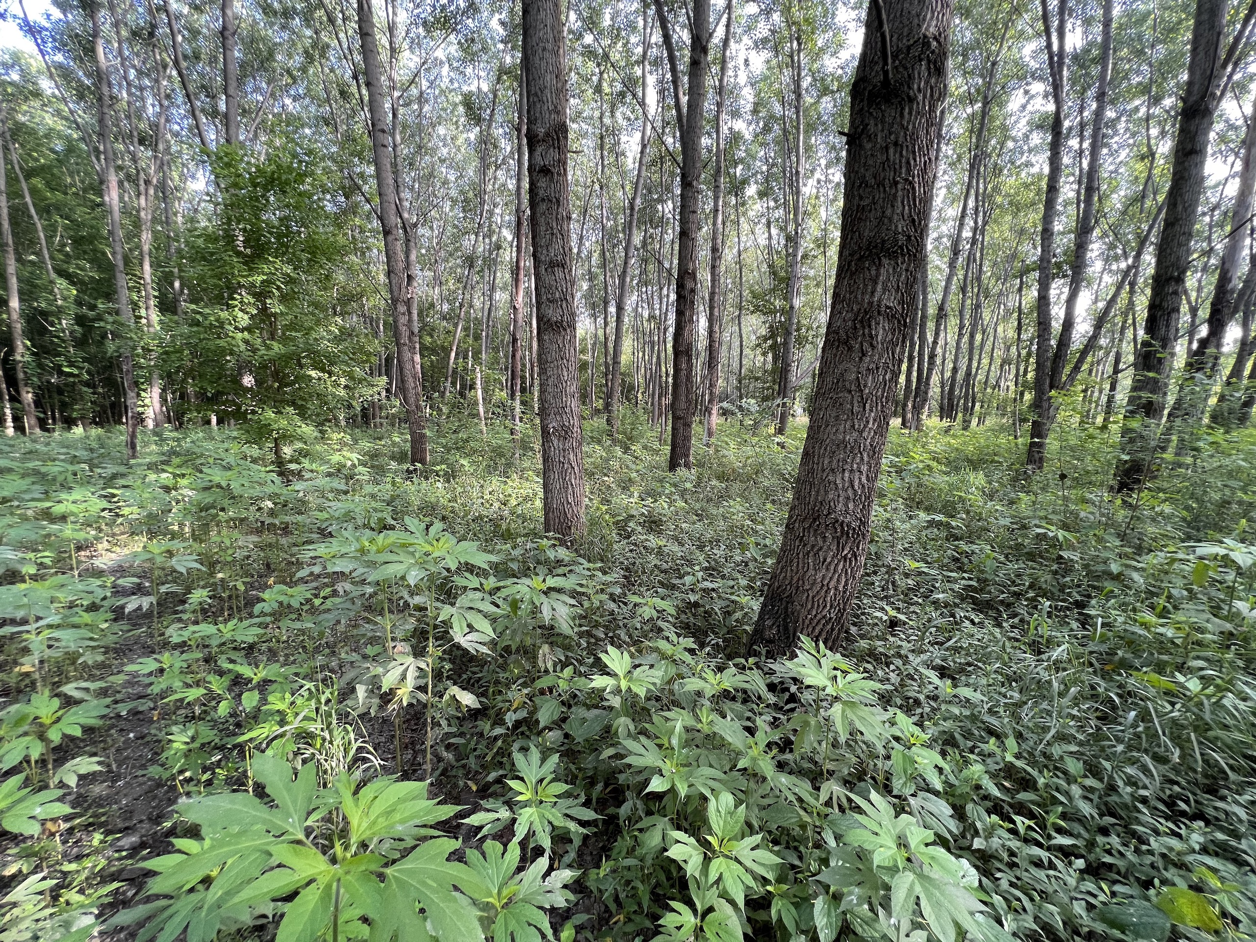
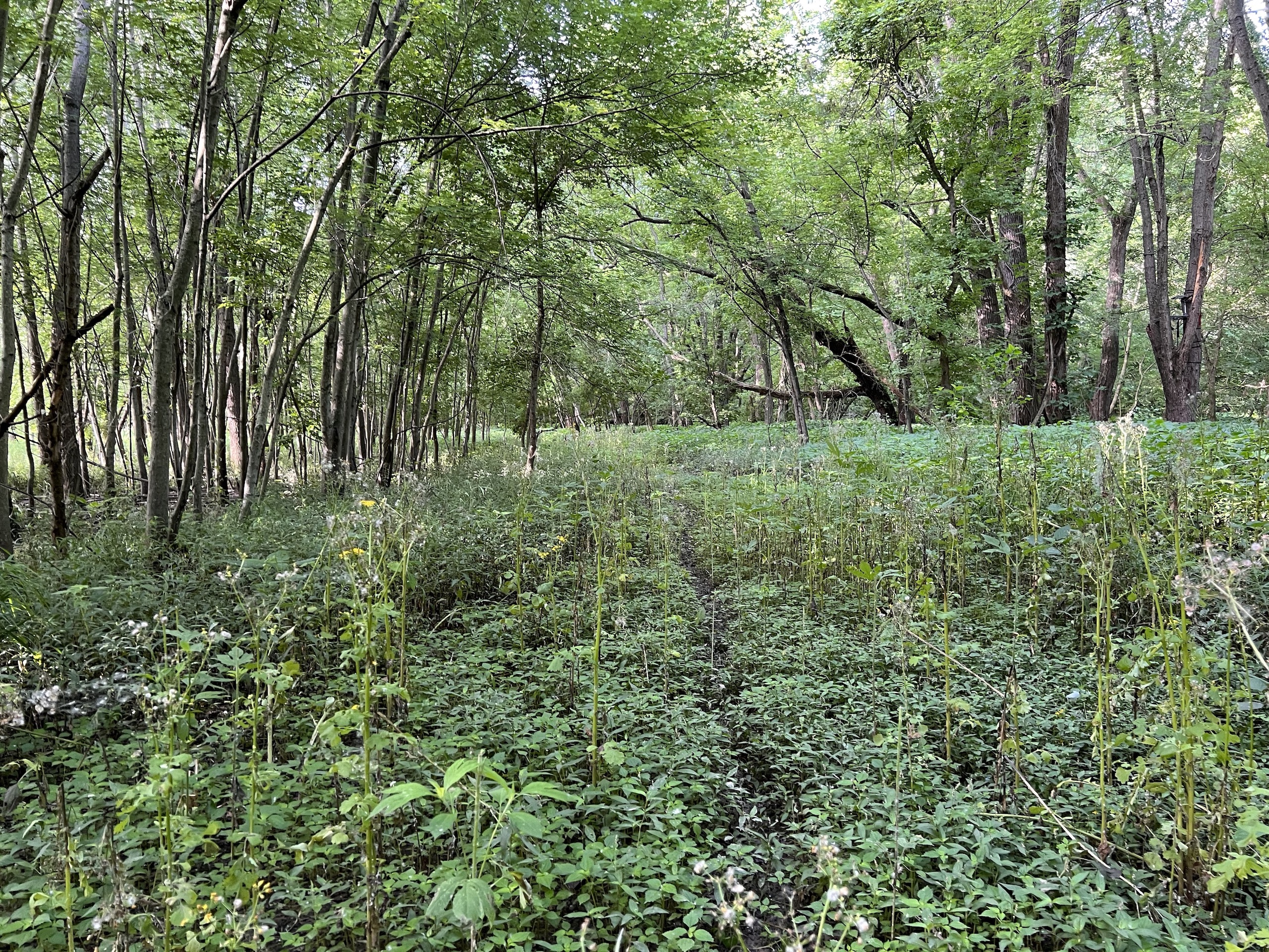
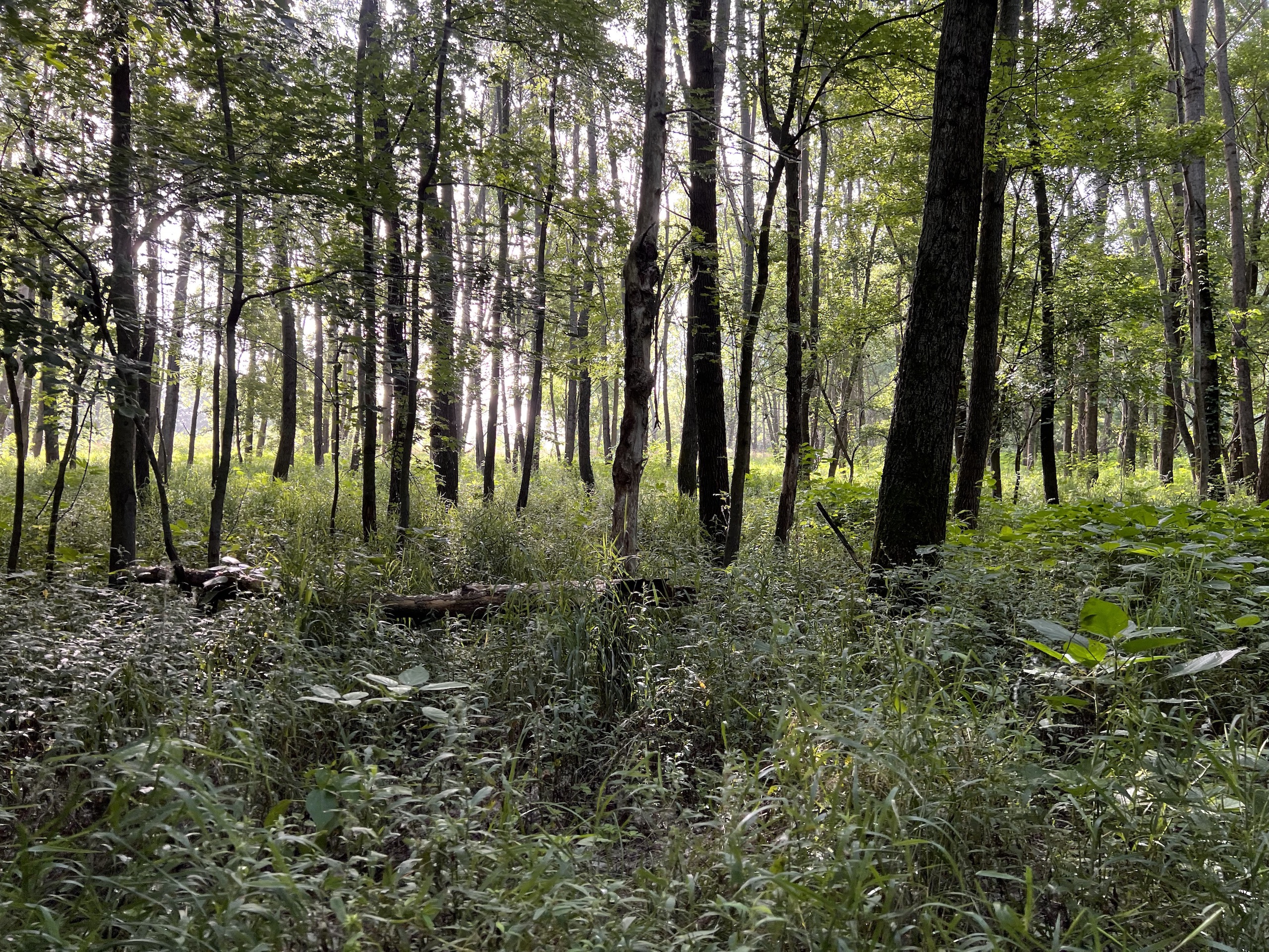
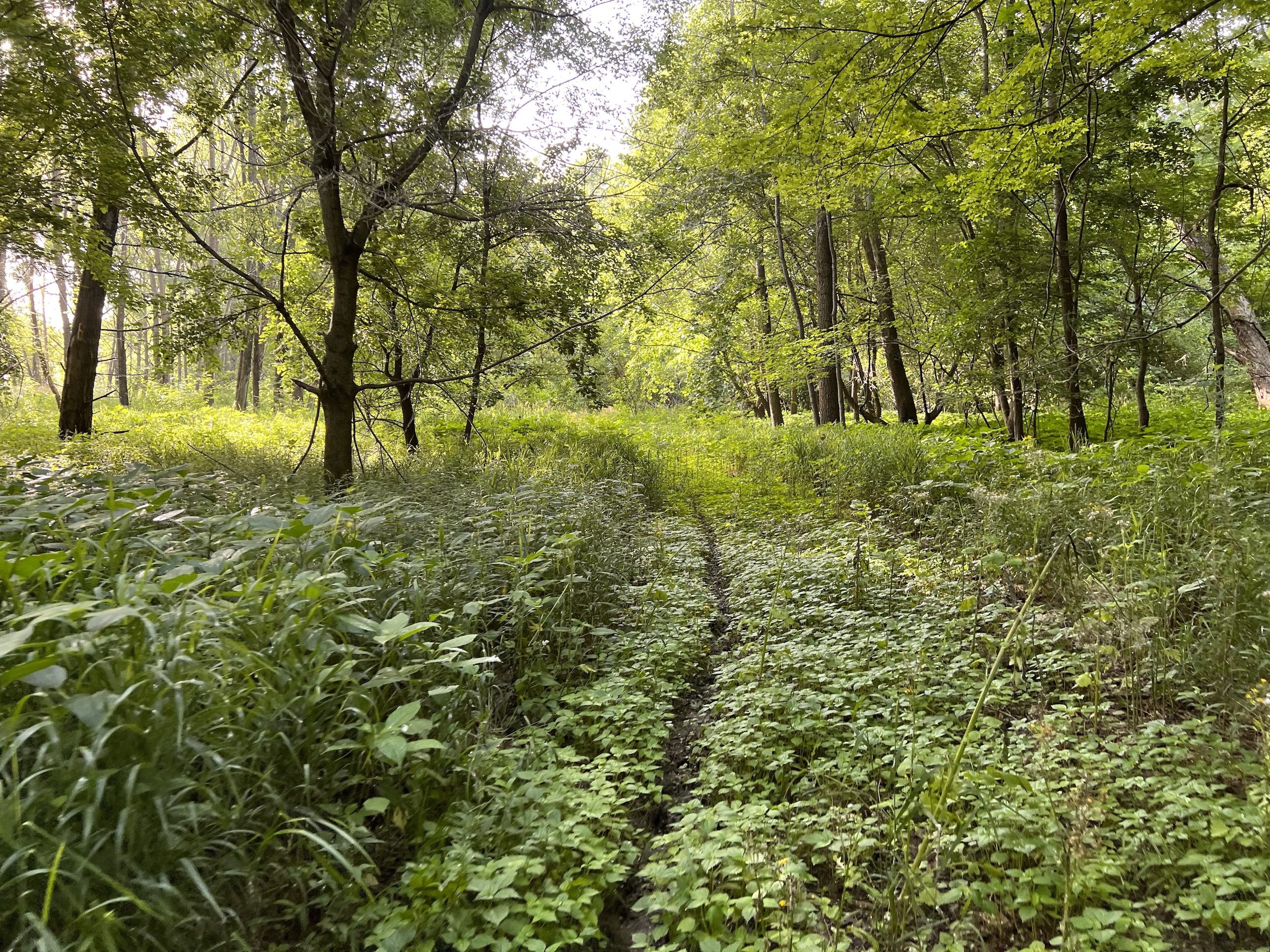
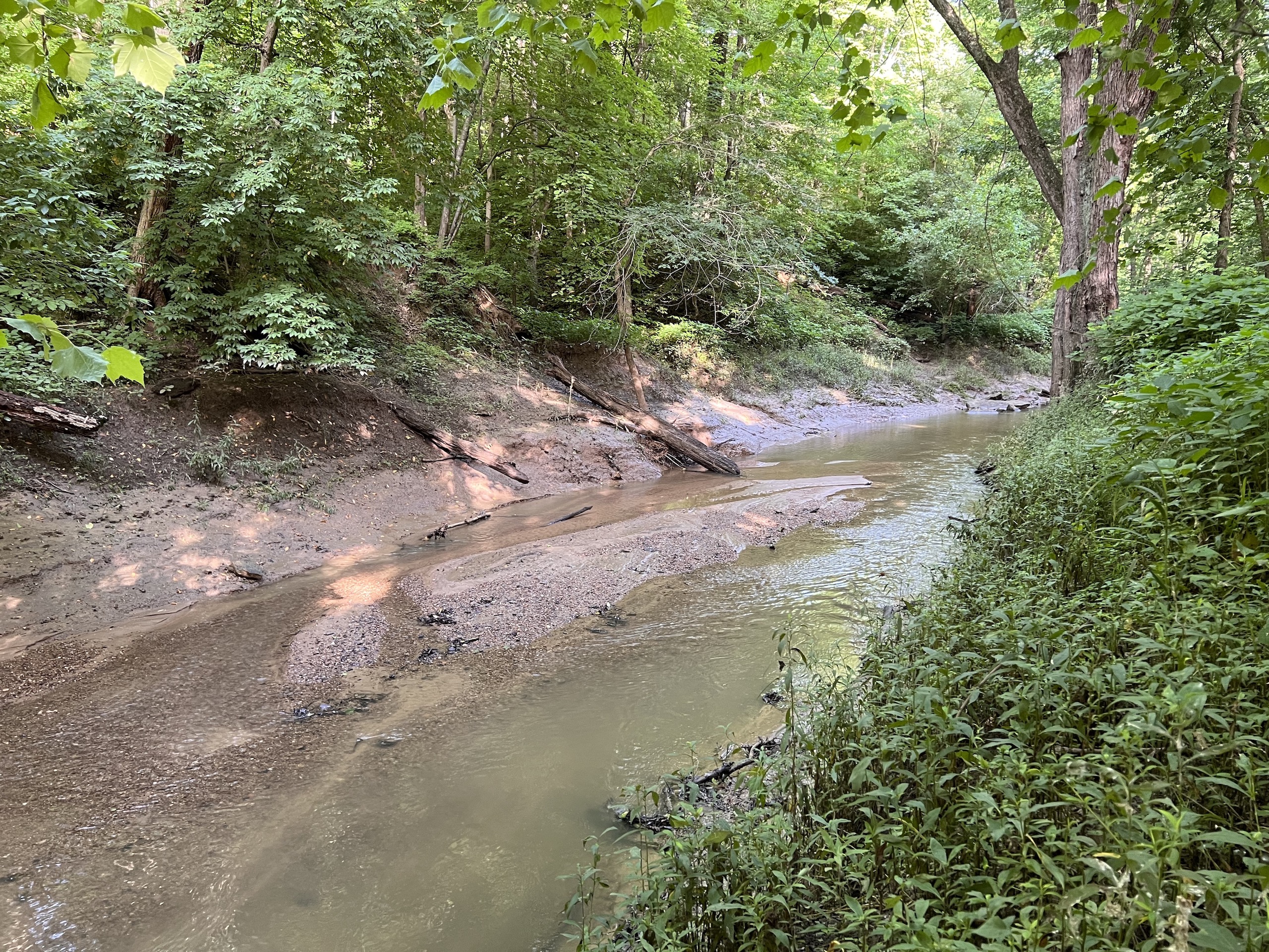
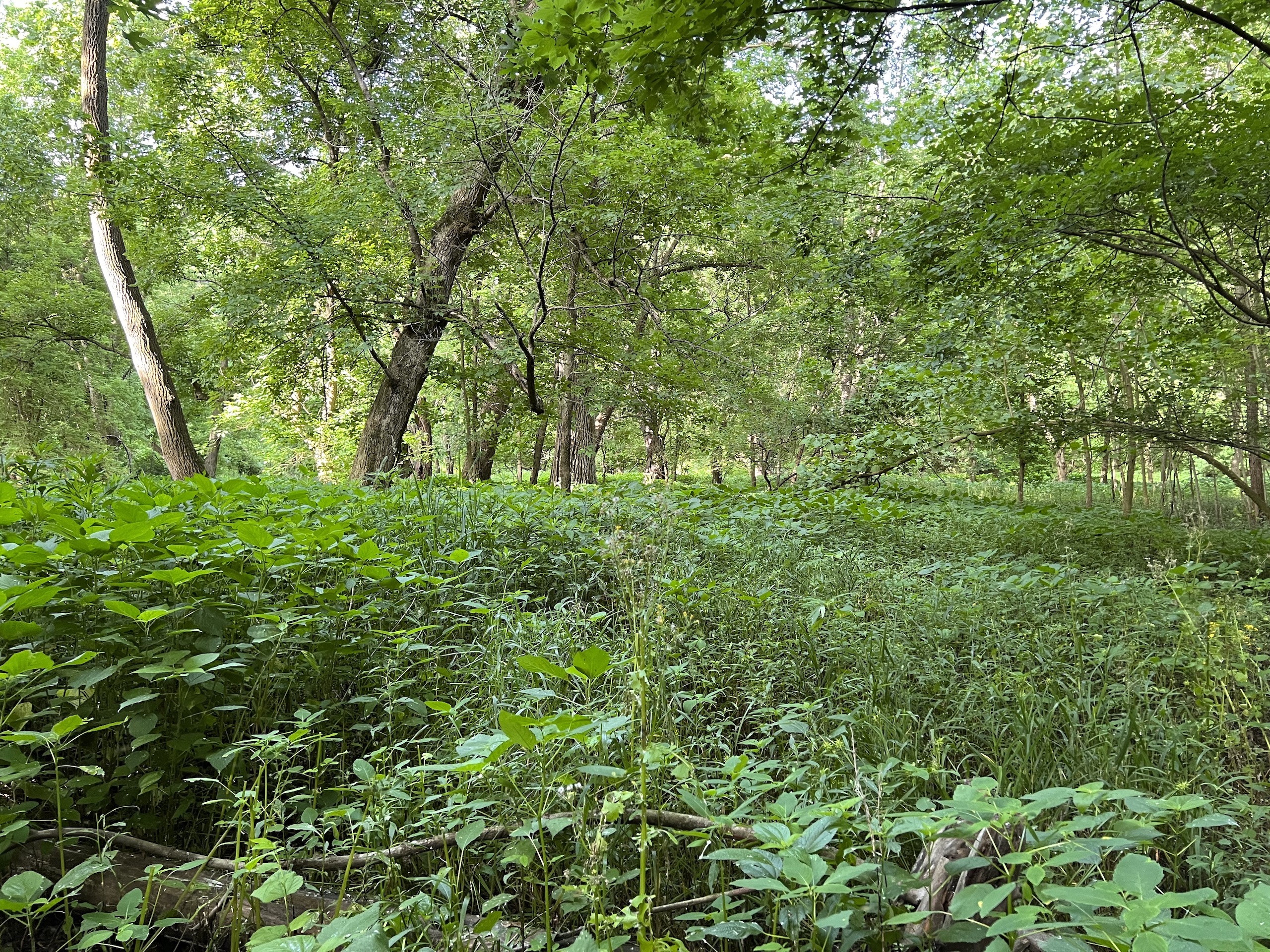
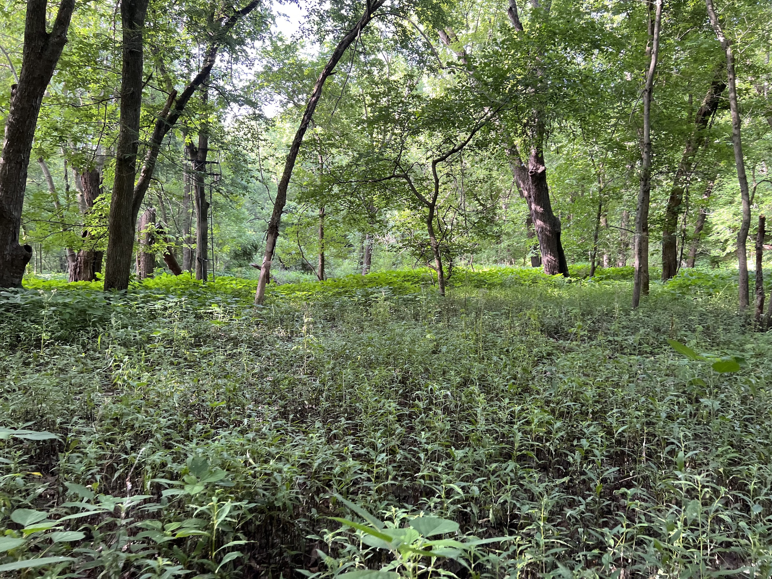
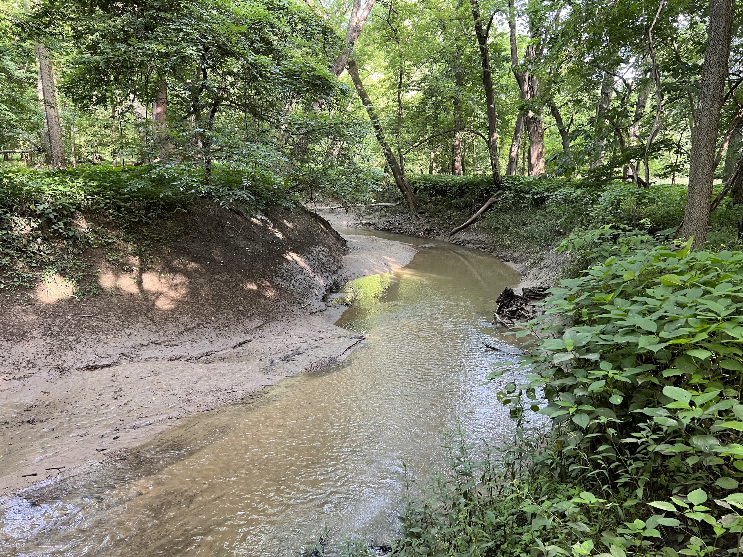
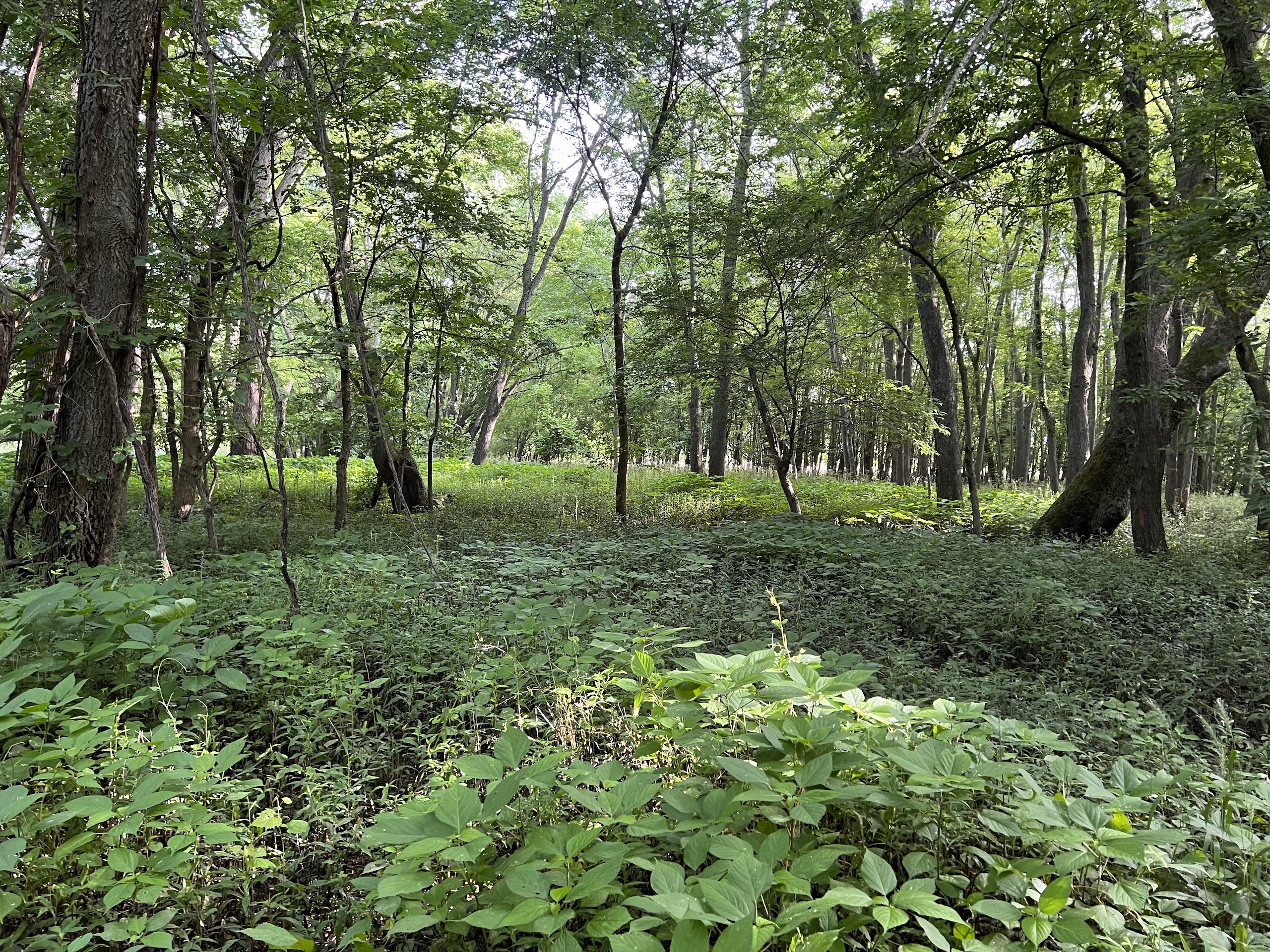
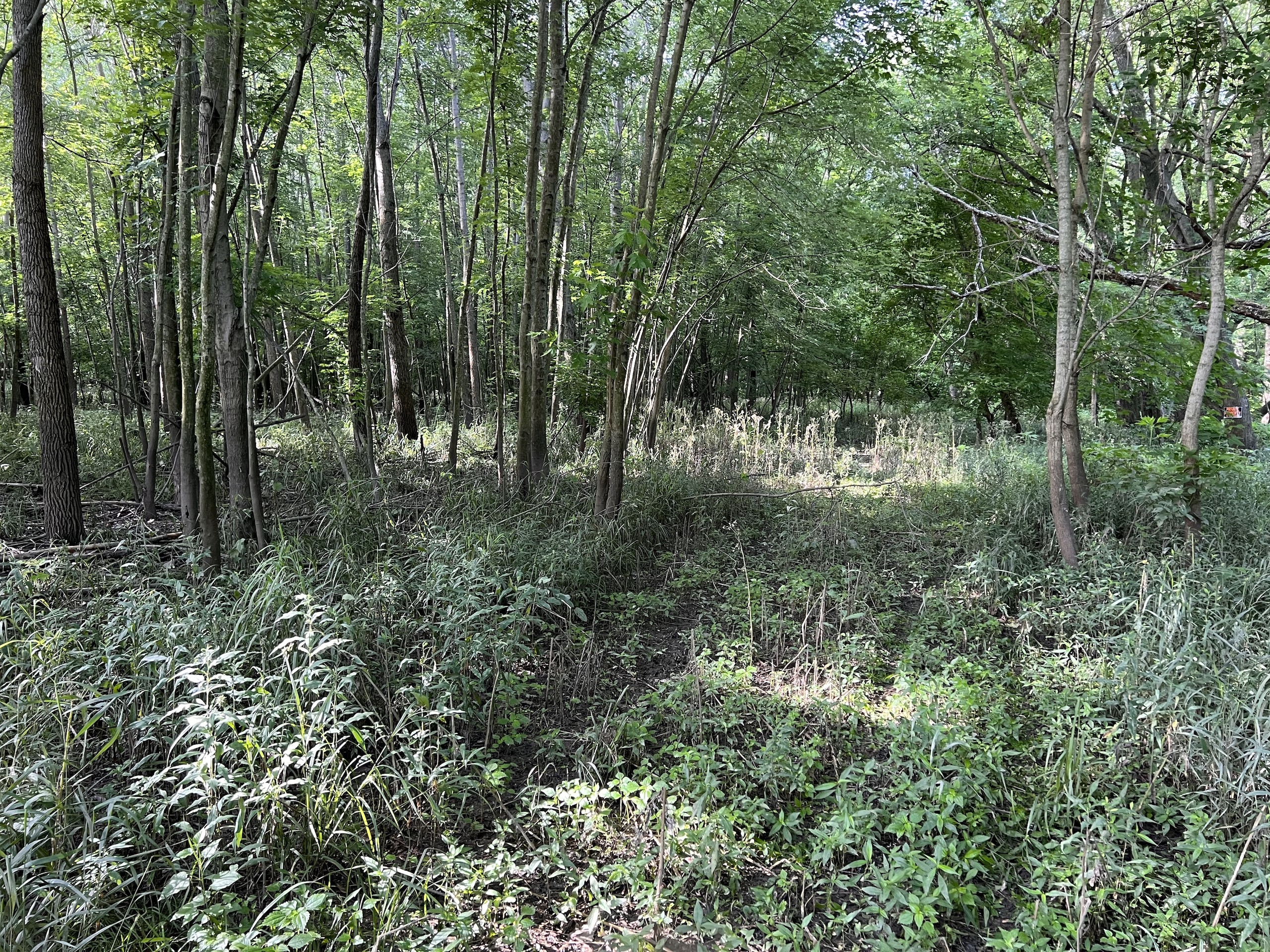
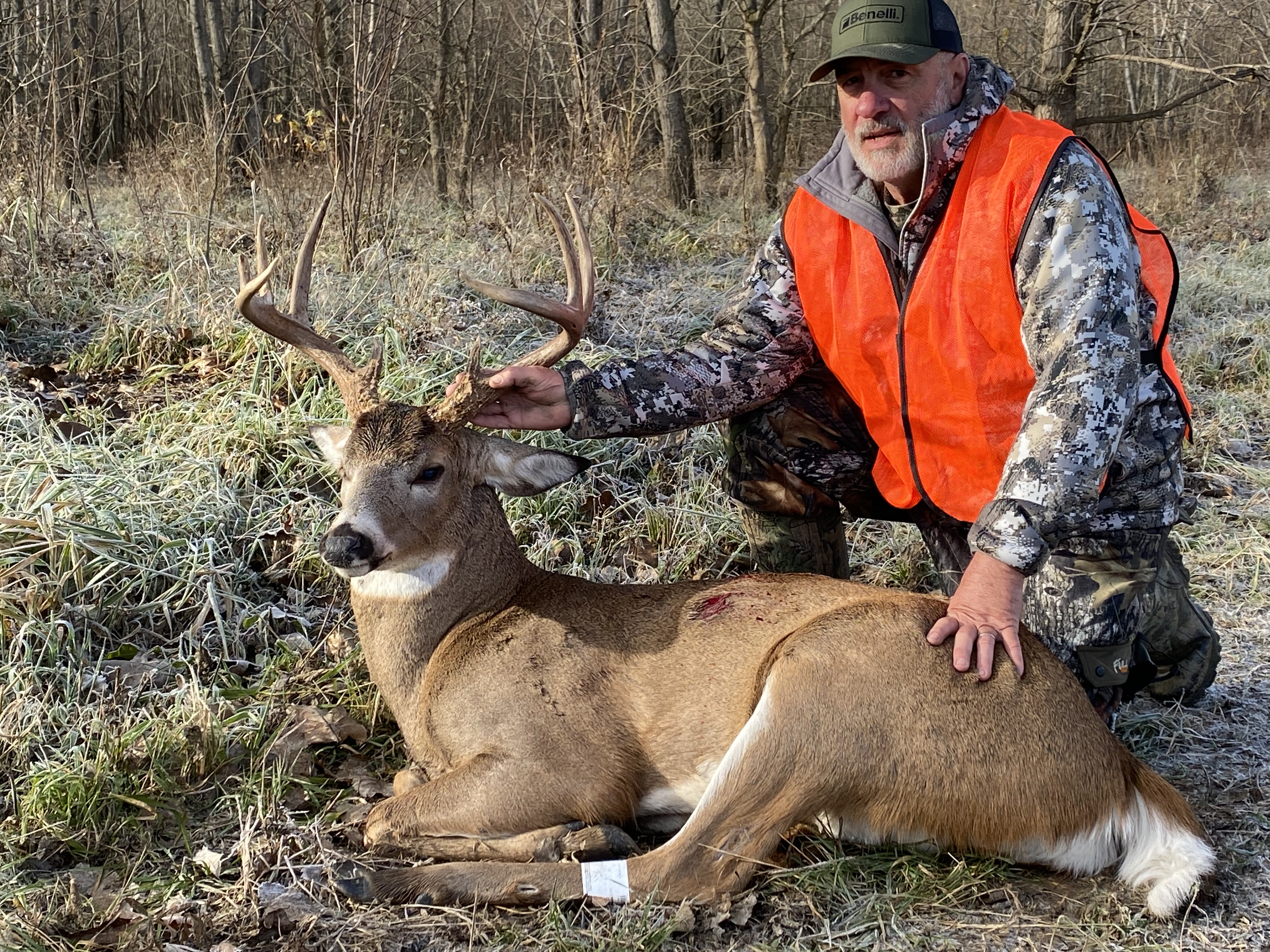
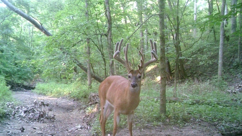
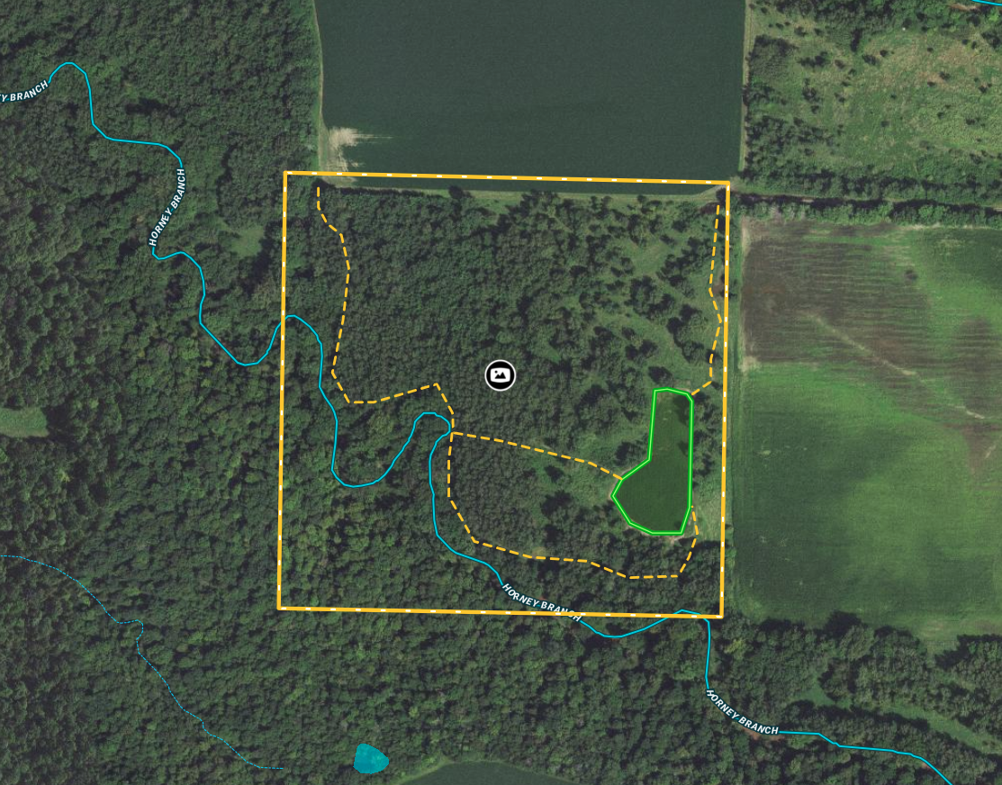
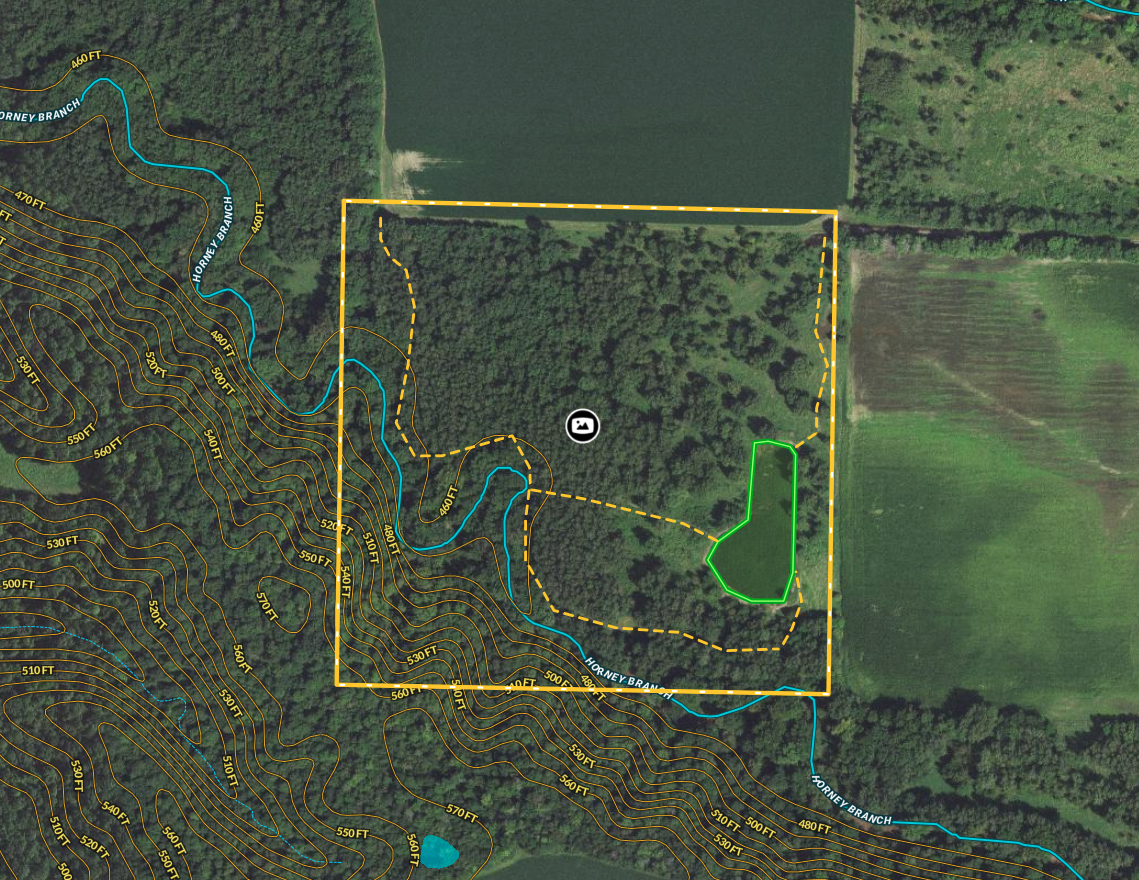
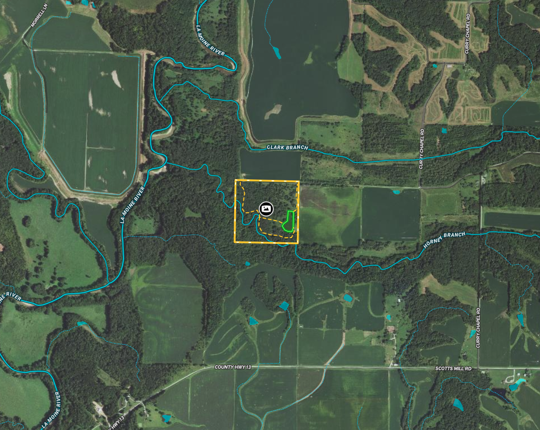
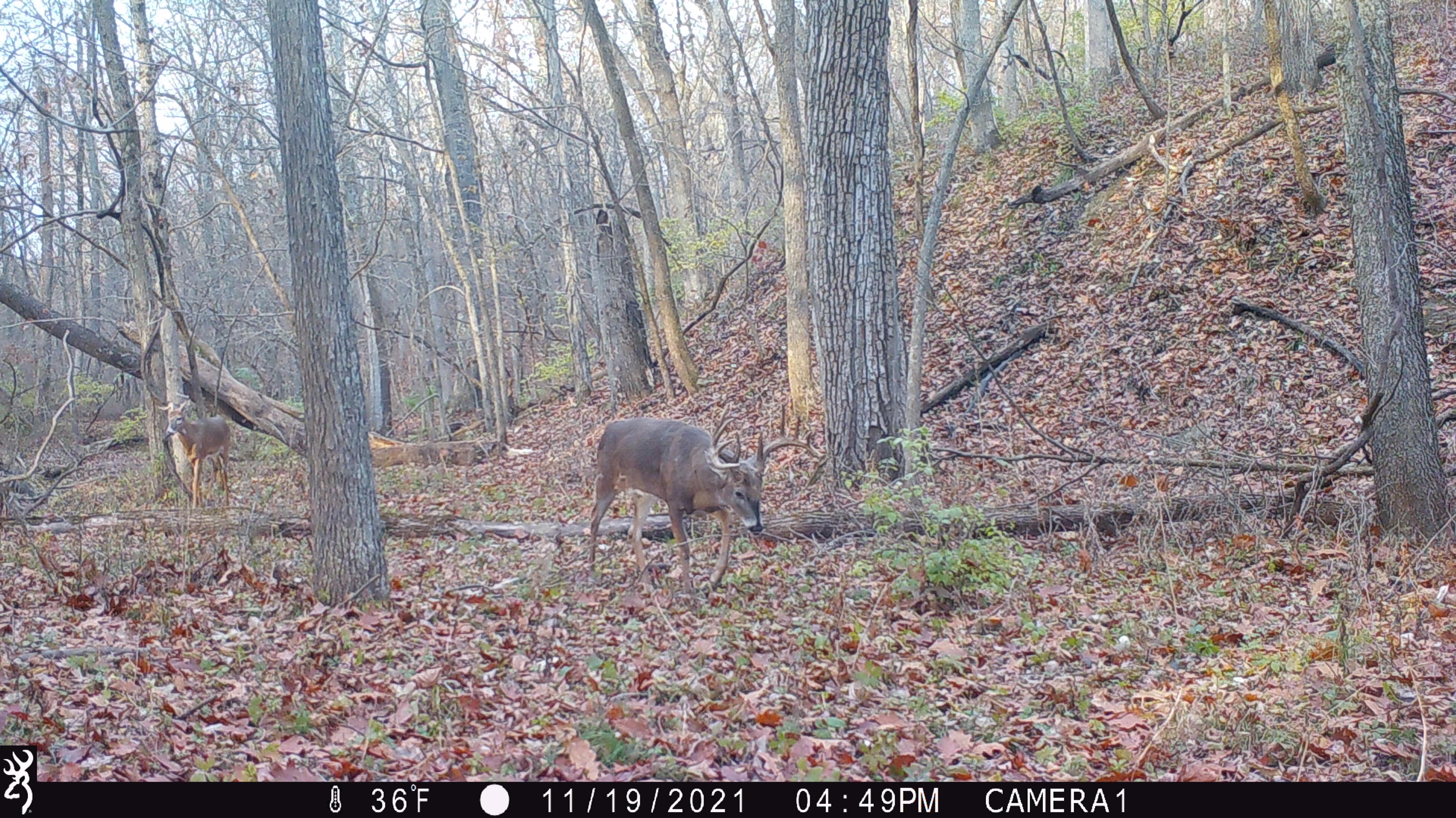
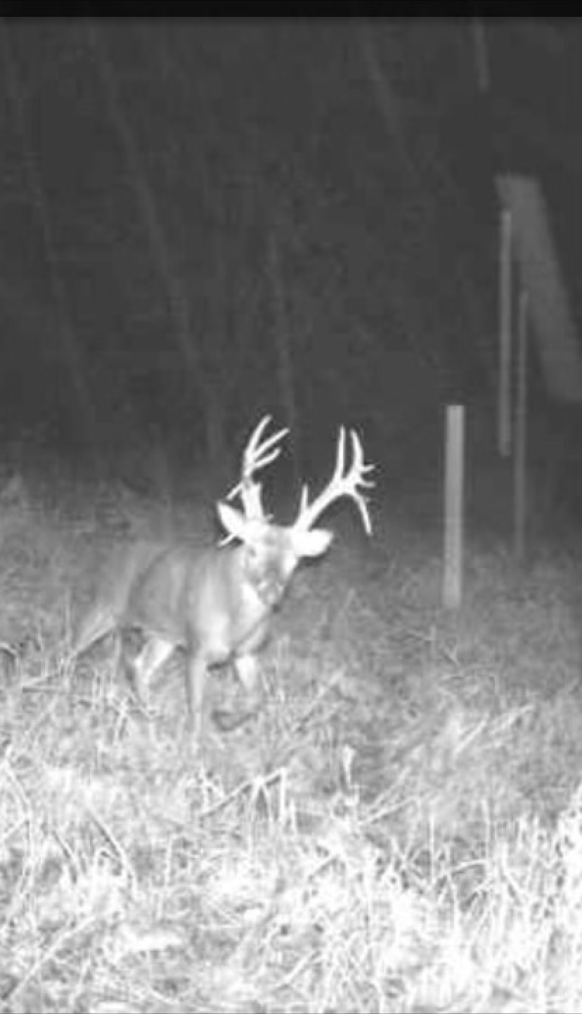
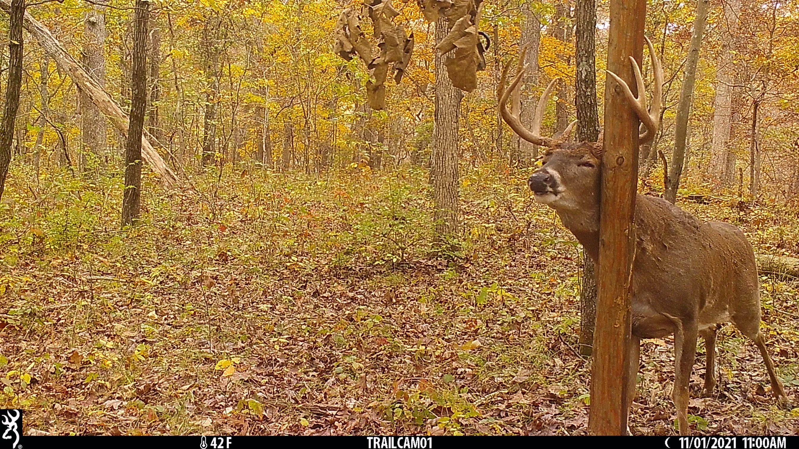
This secluded property is located on the western side of the county and is an excellent area for quality whitetails. The property is located north of Scotts Mill Road, at the end of Forsyth Road, with access coming in on the northeast corner of the property. Head down the trail leading north, and you will come upon an established food plot easily accessible without bumping any deer. From this plot, you can either head north or west to some strategic stand locations along Honey Branch Creek. Many trails are paralleling the creek making for some great rut hunts. The southwest corner of the property is a higher bluff that naturally funnels deer through the property. You can also walk down the north property line to the northwest corner of the property and slip into various other stand locations. The heart of the property is thick bedding covered with thick grass and cover. There are adjoining tillable fields providing destination fields for the deer to feed in. This property serves as a staging area and travel corridor making this property a dynamite hunting farm throughout the season. If you are in the market for a quality hunting property with a secluded location, call the listing land specialist today for more information or schedule a private showing.
Summary
Address
Land Type
Property Type
Land and Farm Property Types
Road Frontage
Road Surface
Land Details
Improvements/Features
Details
- 1.5-acre food plot
- Established tails allow for easy access throughout the property.
- Located at the end of a dead-end road.
- Very diverse property
- Honey Branch Creek runs through the property serving as a natural travel corridor.
- Good connecting habitat
- Thick bedding cover
- Bluff on the southwest corner of the property
- Great deer hunting
- Located in the Lamoine River Corridor
- Extremely secluded location
- CREP Easement
Other
Coordinates
Annual Taxes
Sold Property
For more information or to see additional properties currently for sale see Tyler Sellens's listings.