Rusk County
Hilltop Wooded Tract with Fantastic Pine Timber
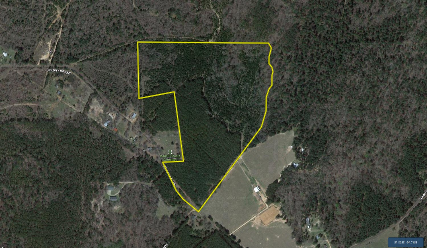
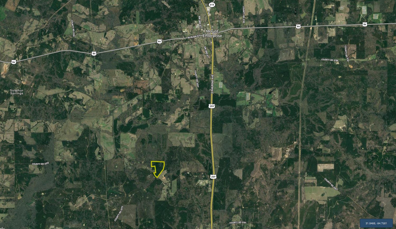
CR 3271 Mount Enterprise, TX 75681


Description
This tract offers a variety of very desirable features and would make a fantastic home site or recreational tract with great income potential.
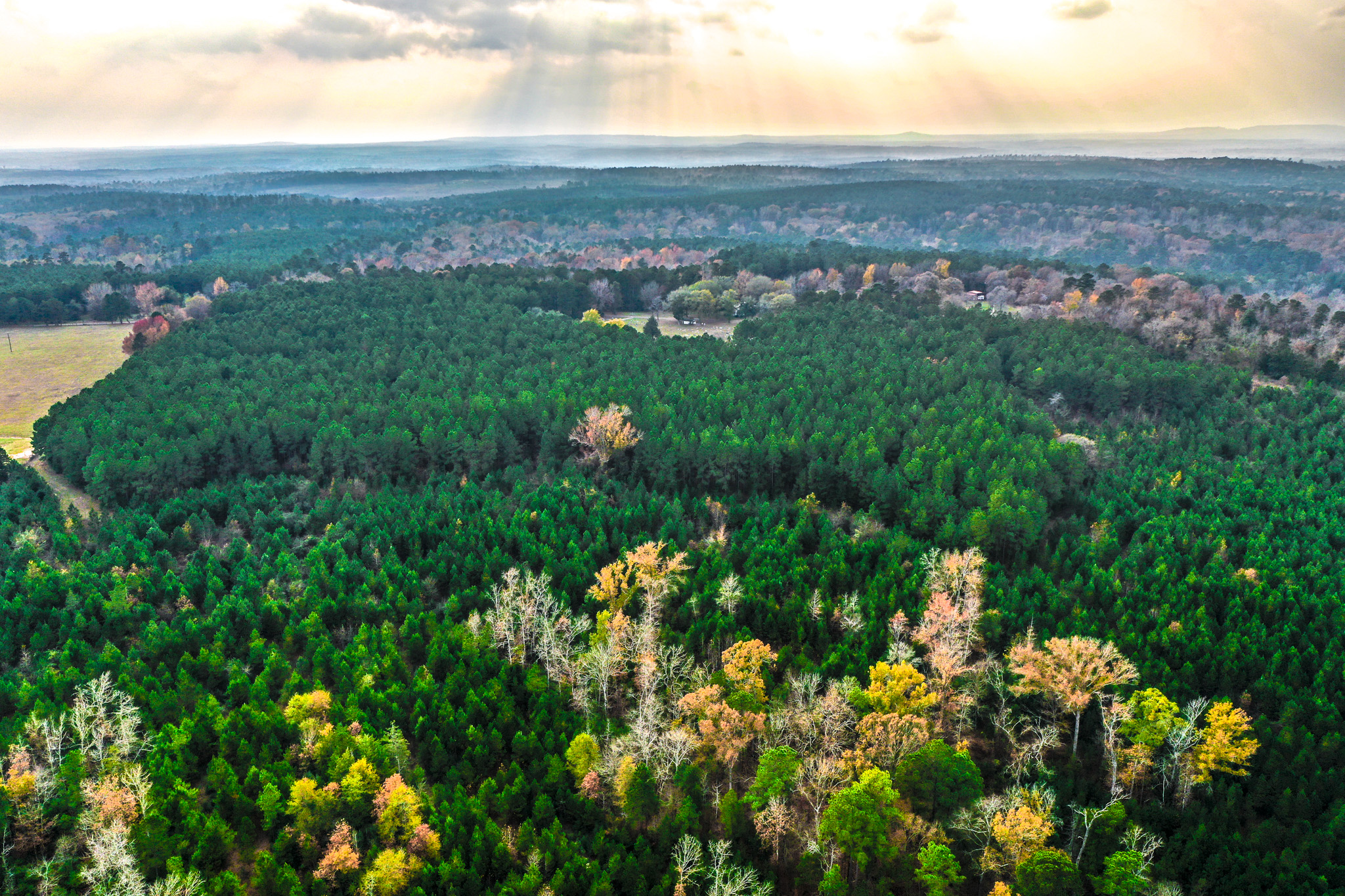
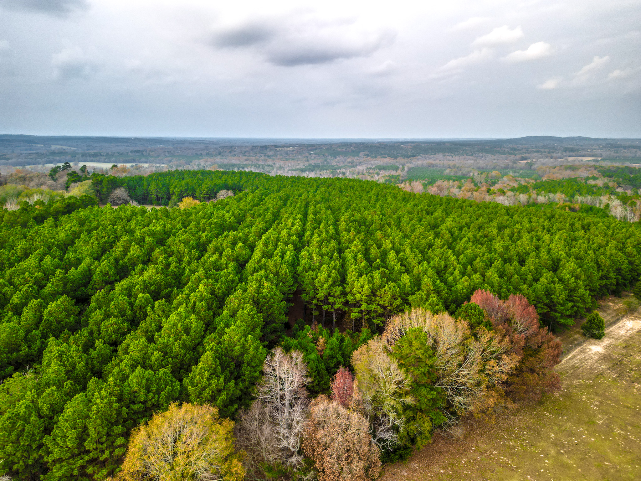
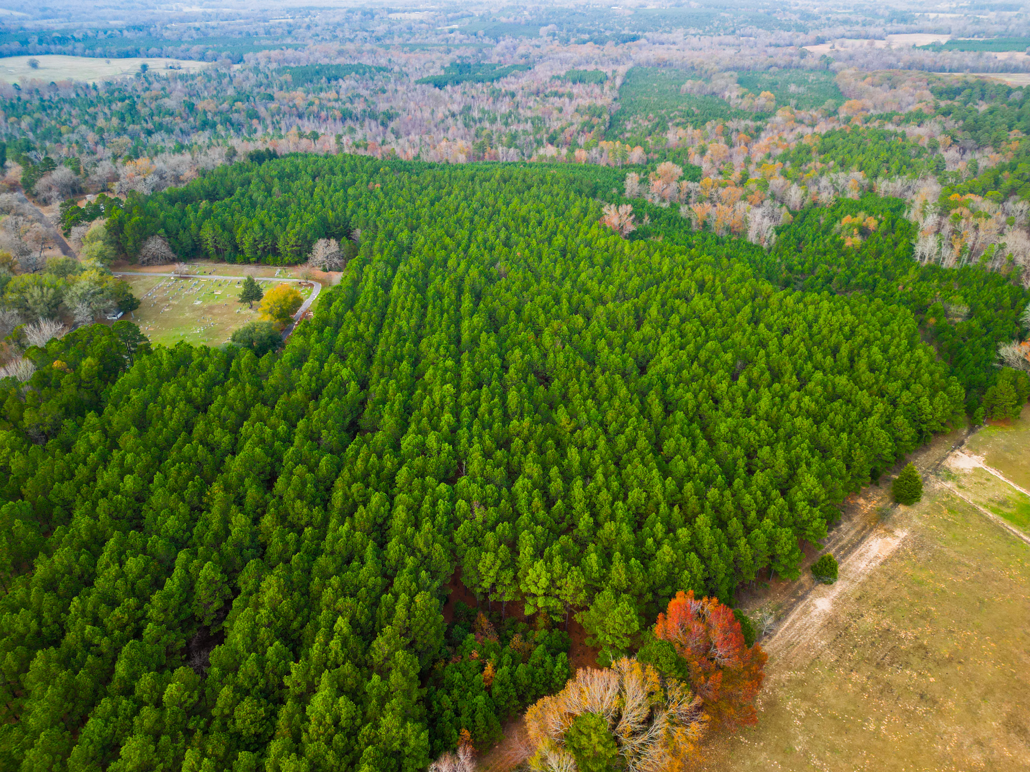
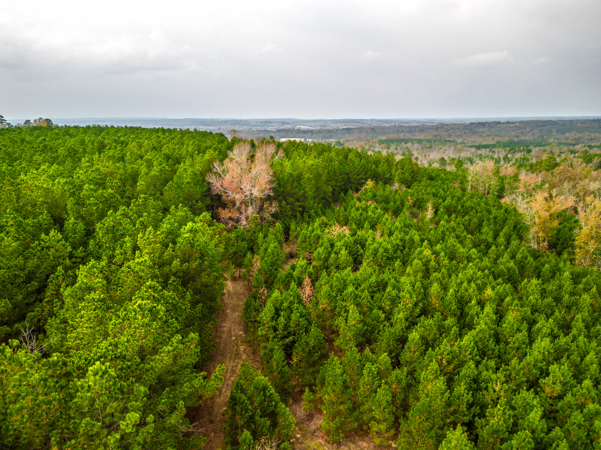
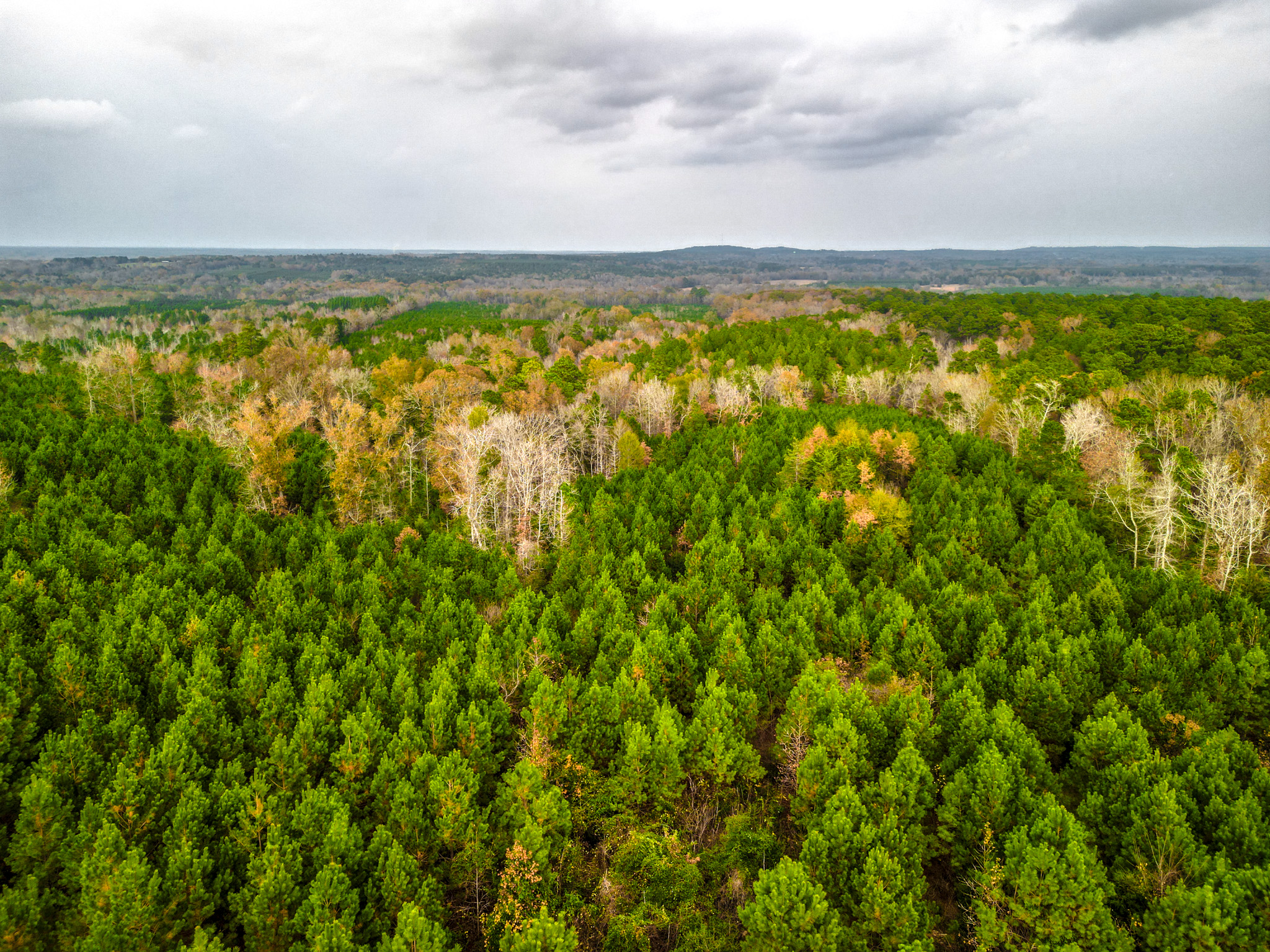
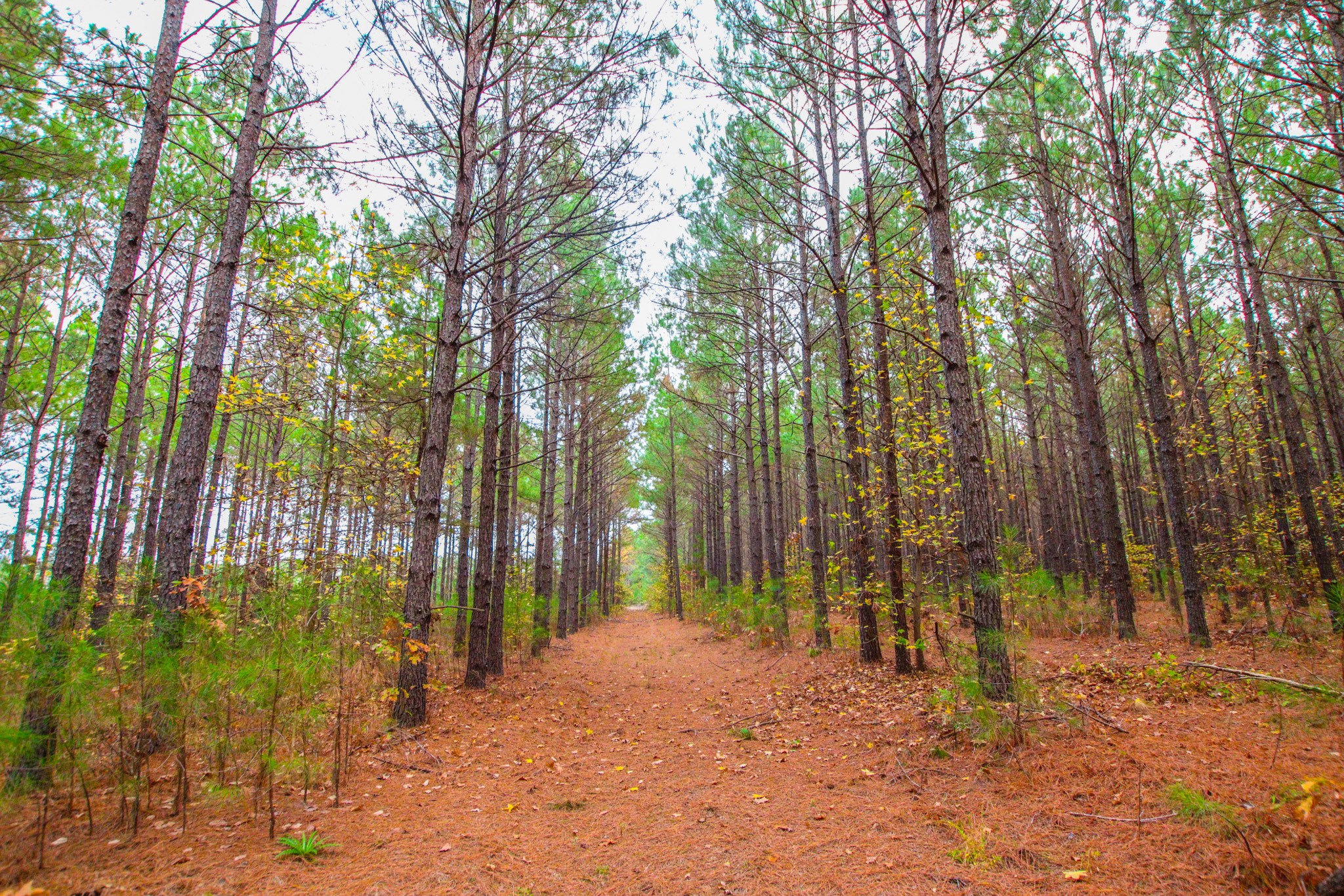
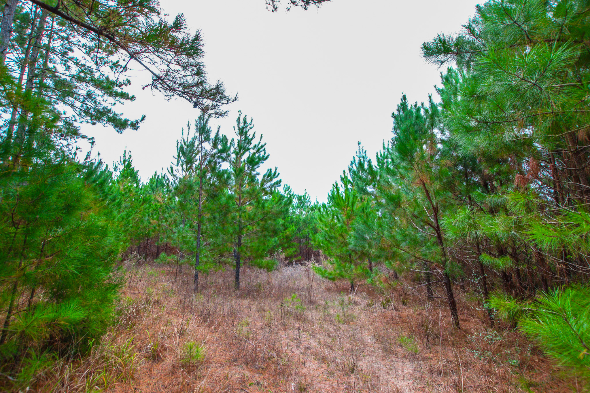
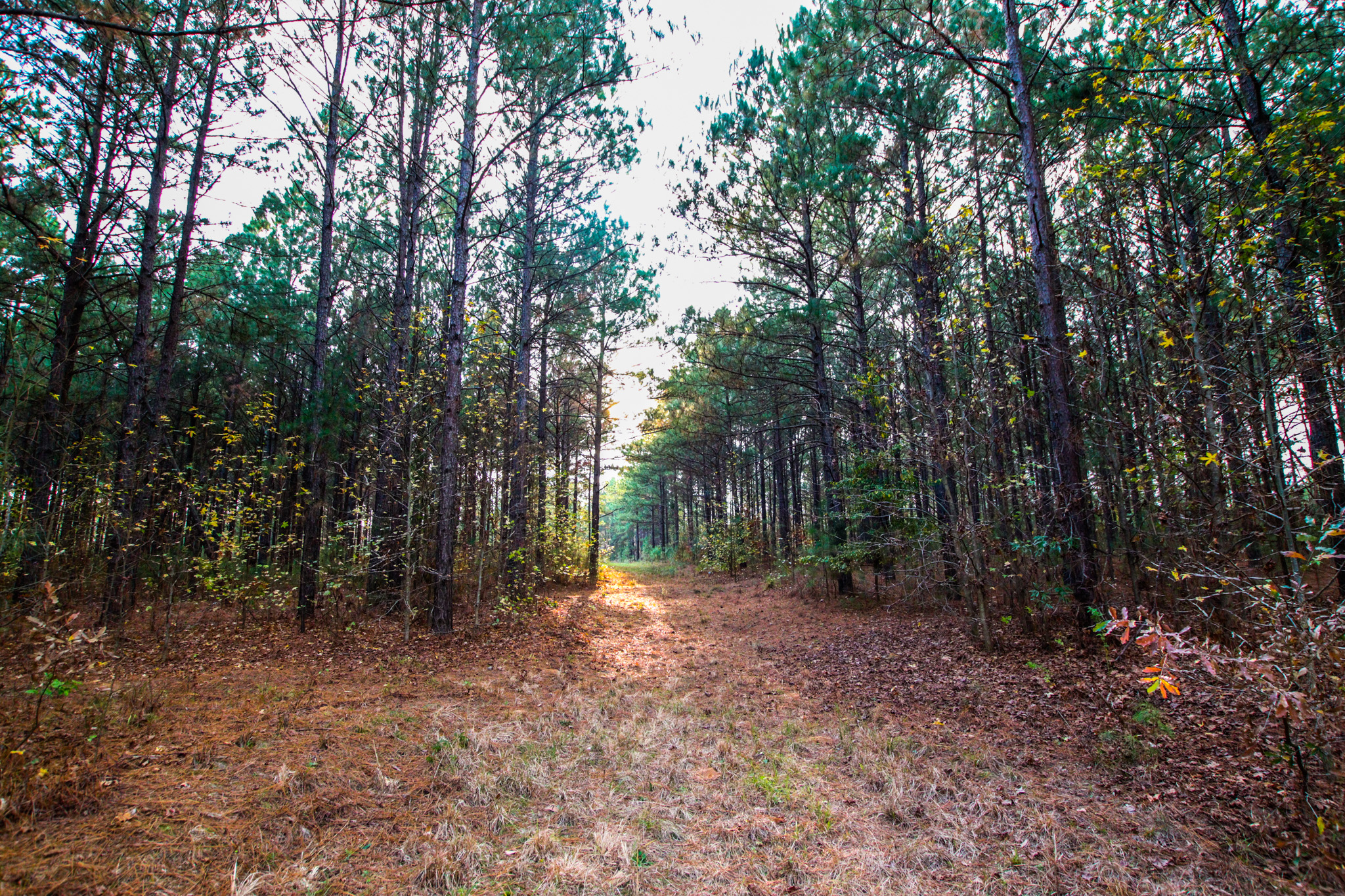
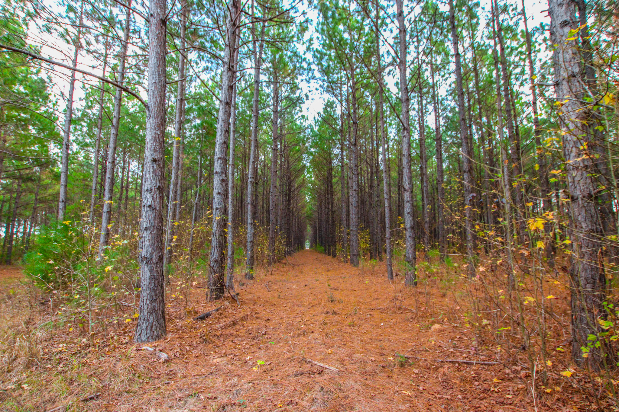
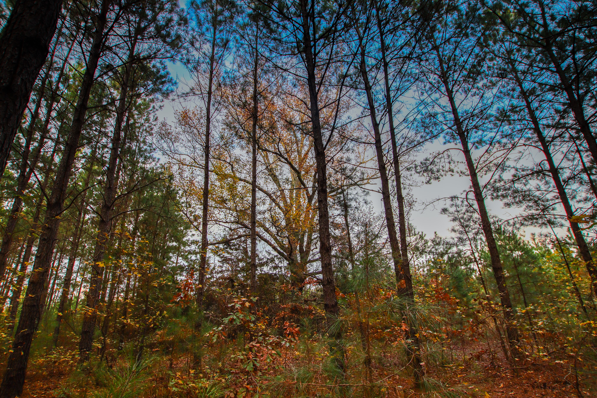
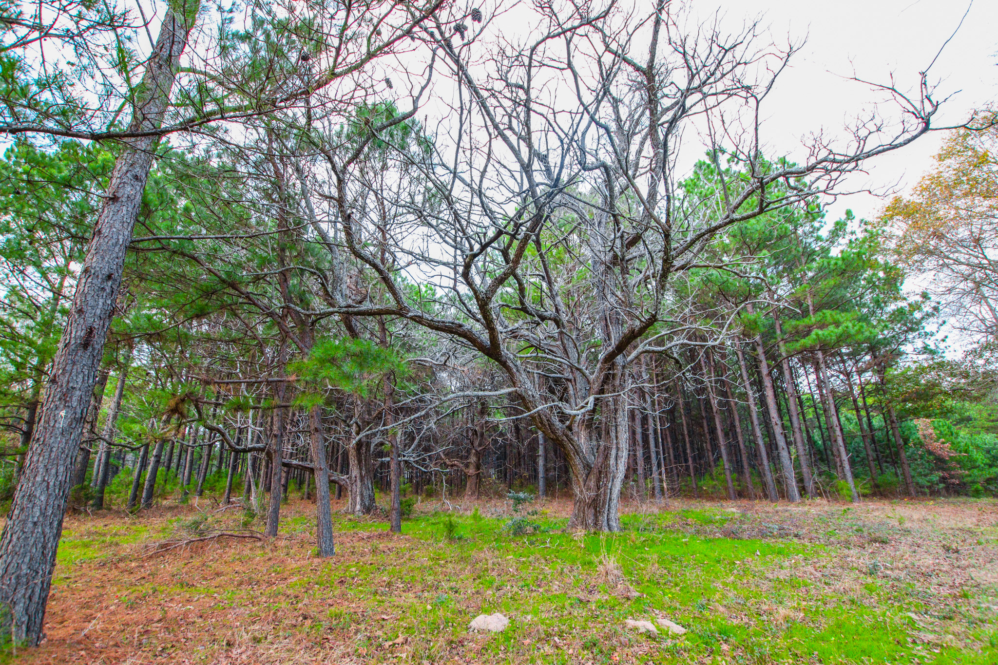
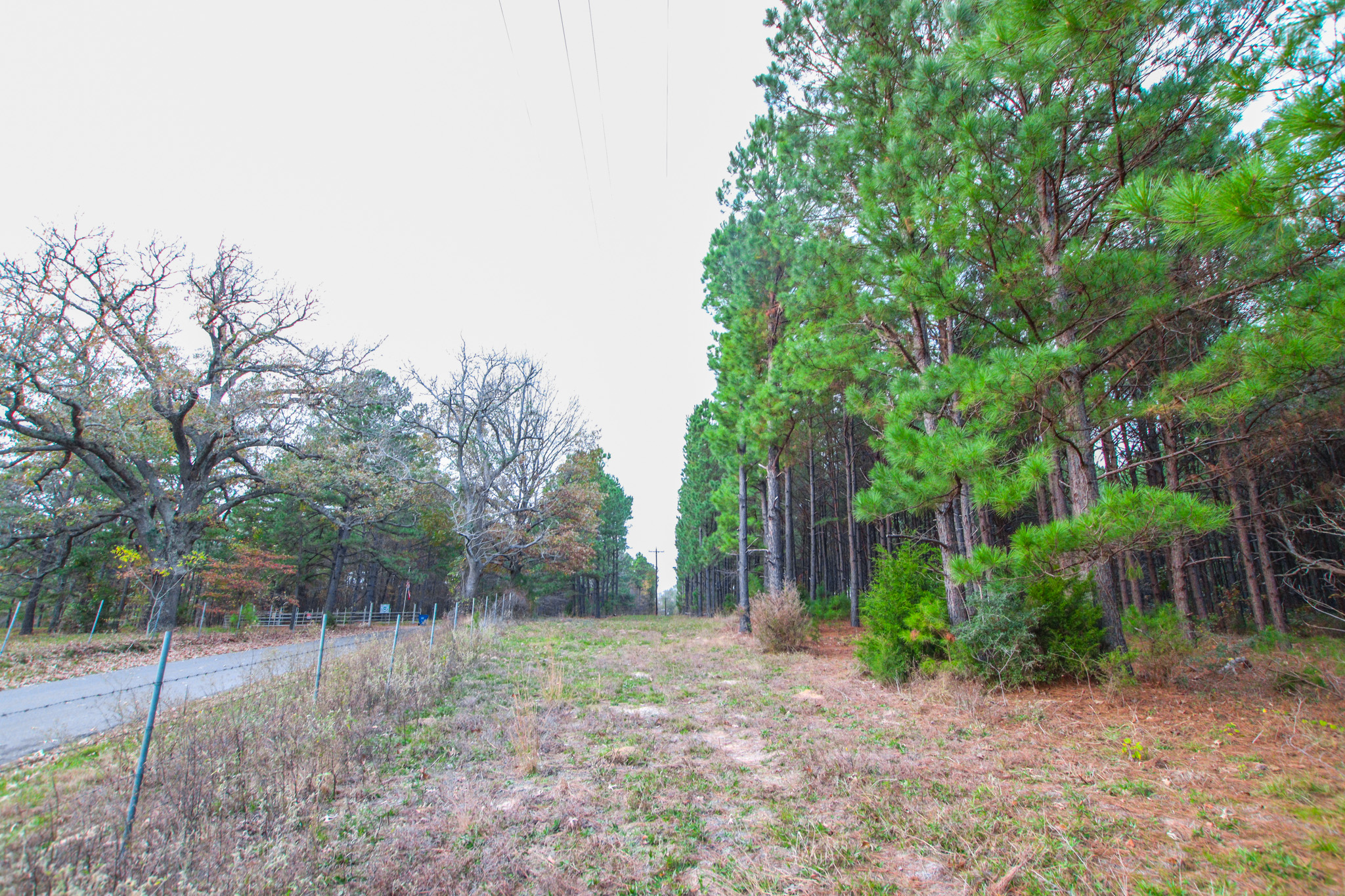
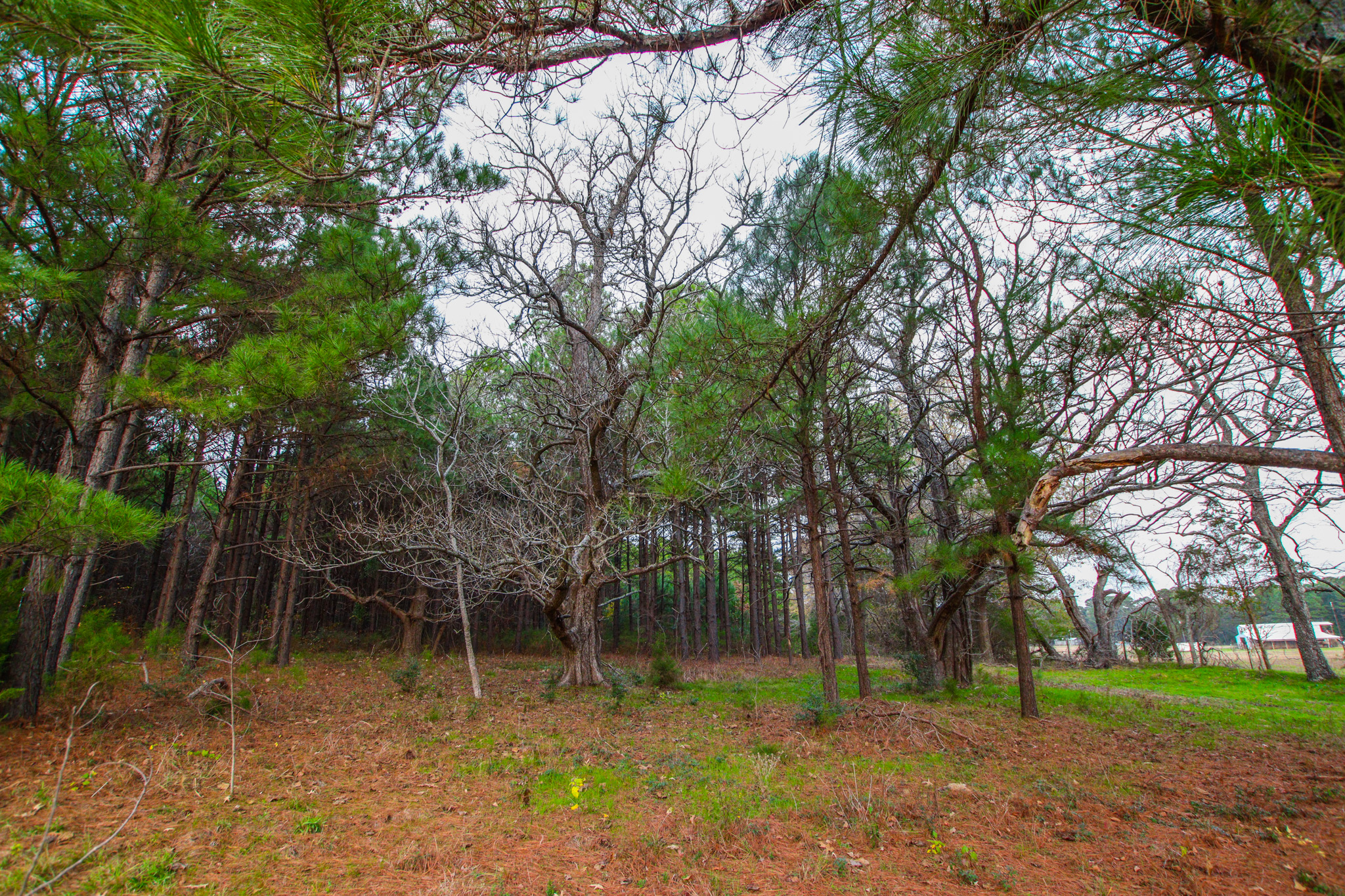
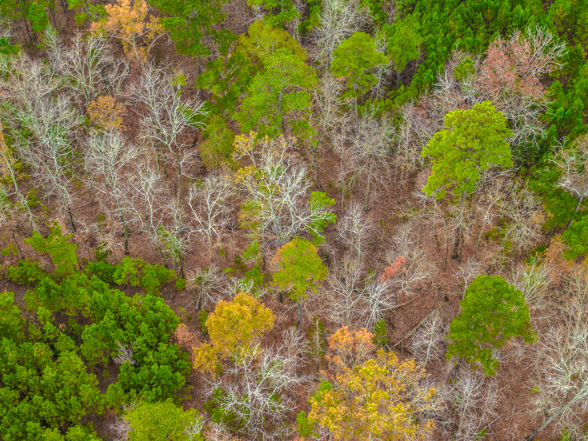
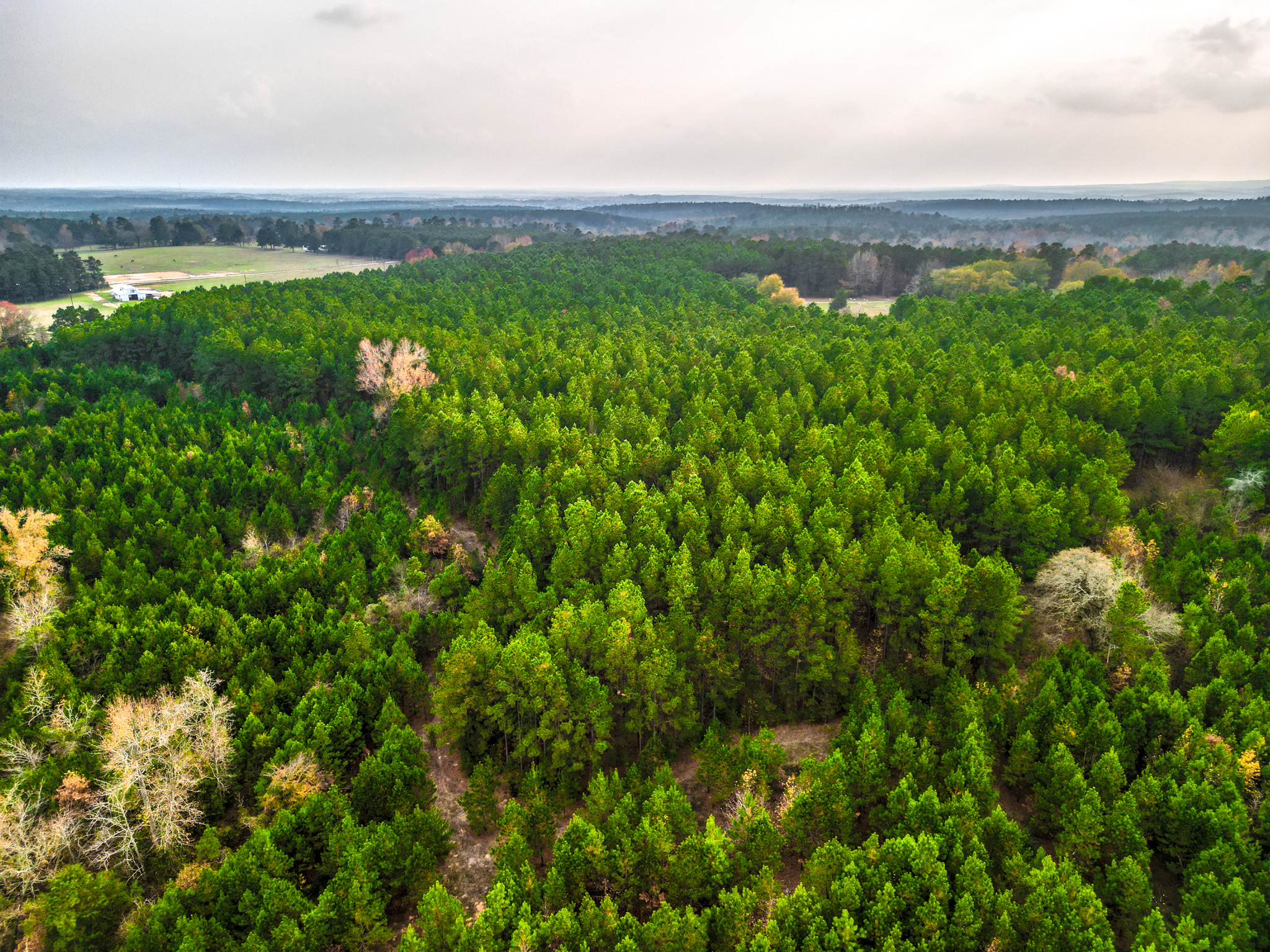
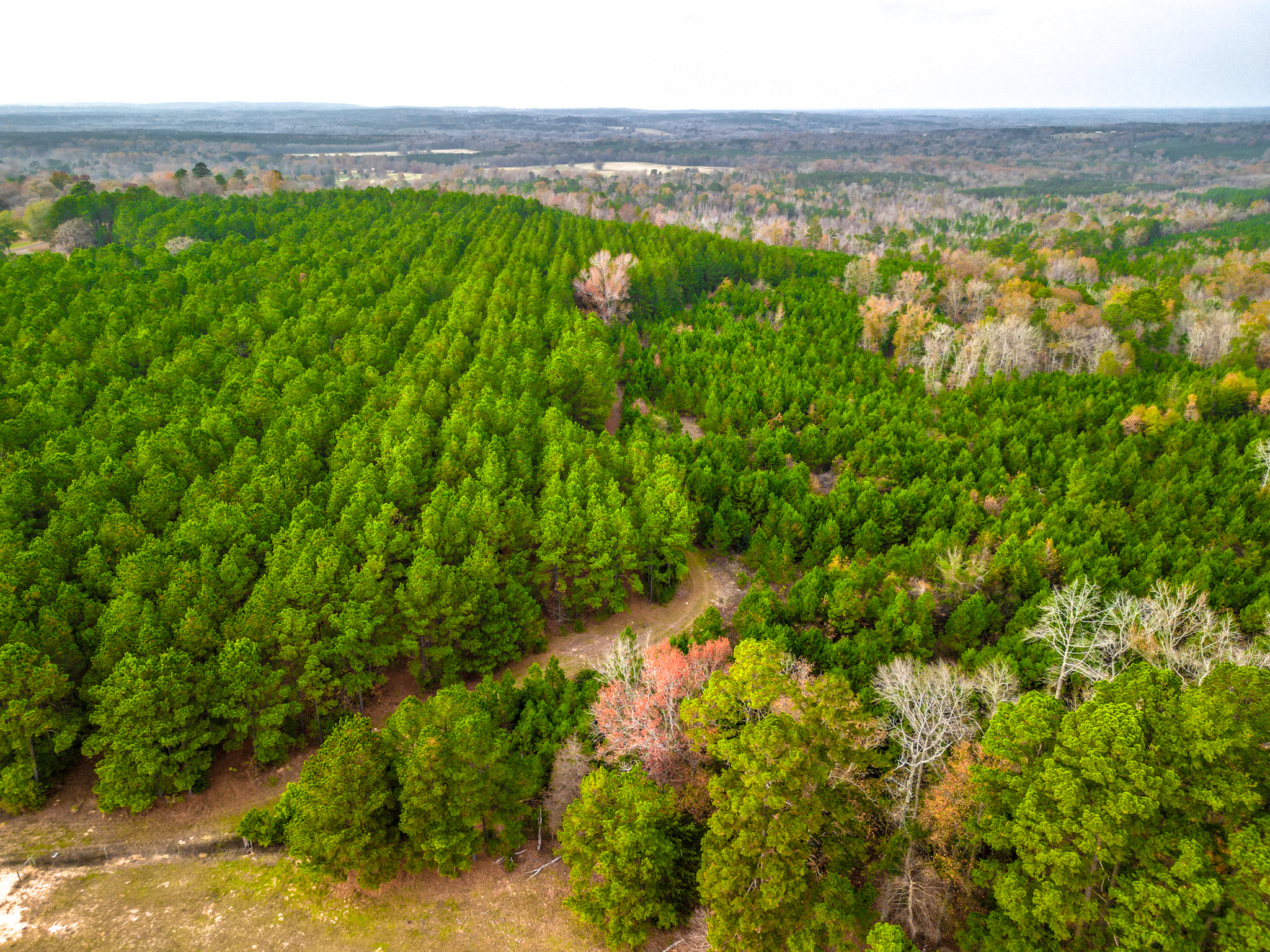
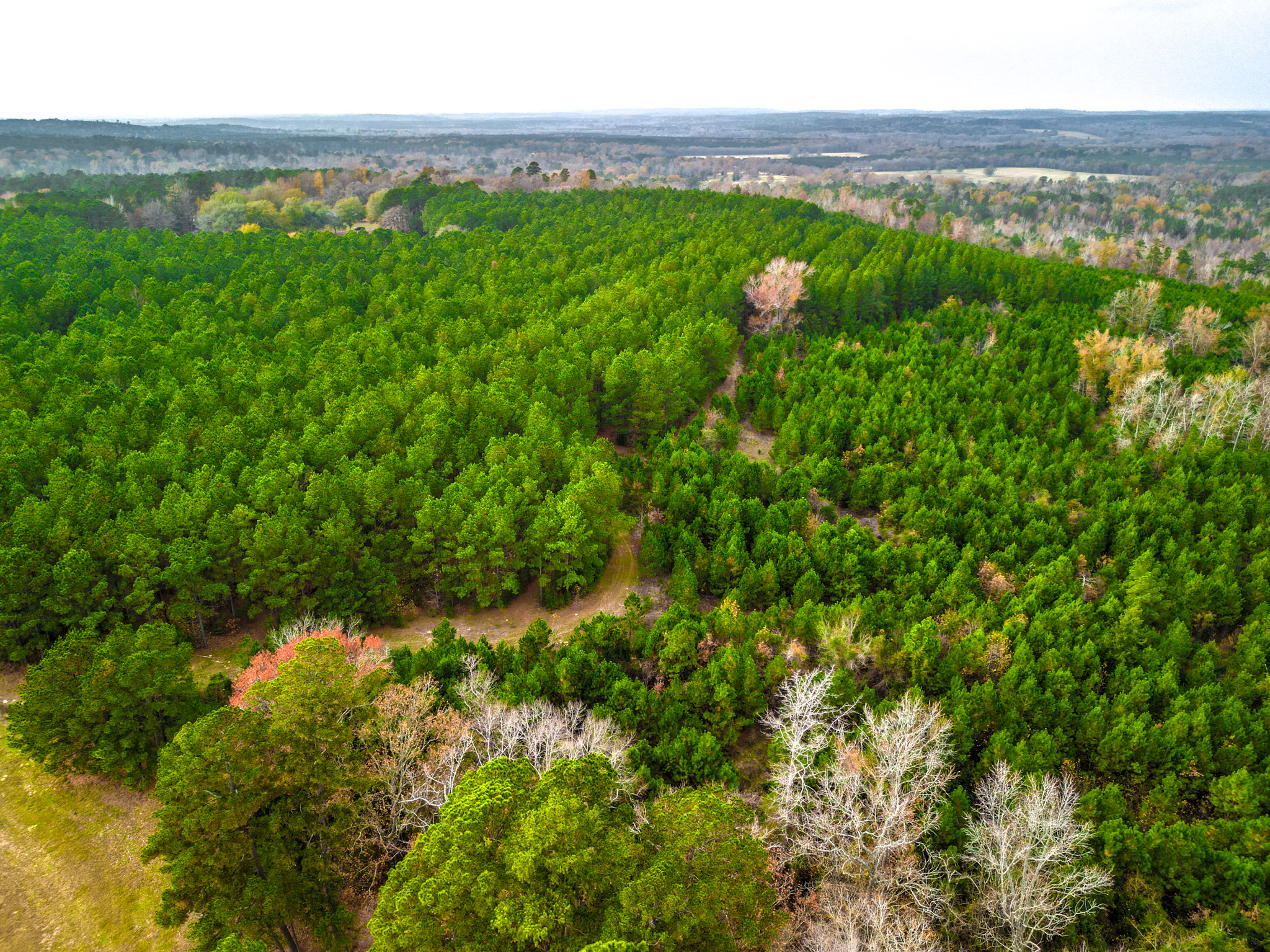
The tract is primarily planted Pine timber with approximately 20 acres of plantation pine that is approximately twenty-two years old and had a fourth row thinning in 2015. There is an additional 20 acres of plantation Pine that was planted in 2016, the remainder is basically mixed hardwoods associated with drainages.
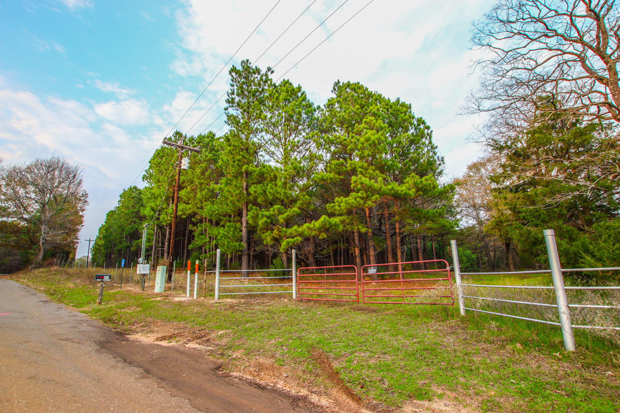
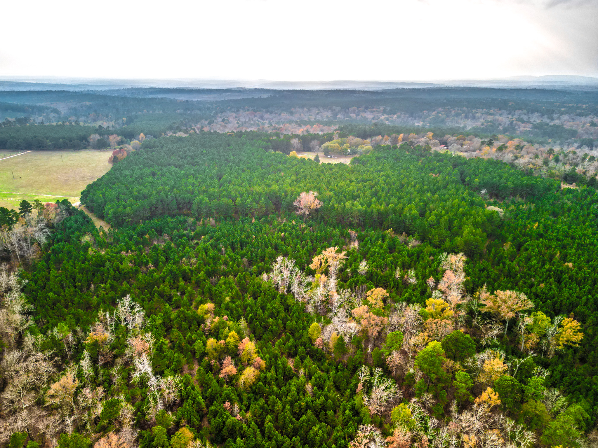
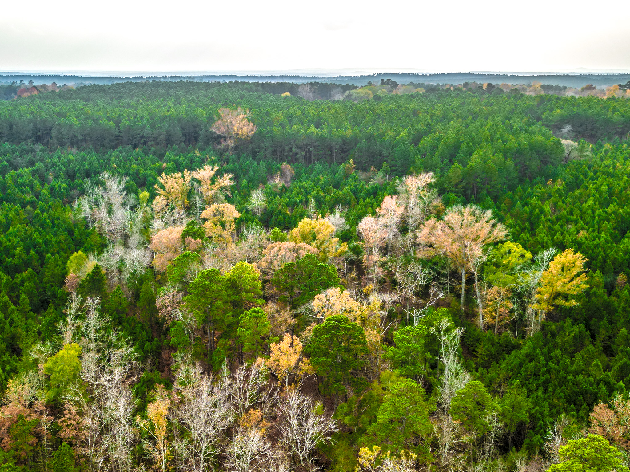
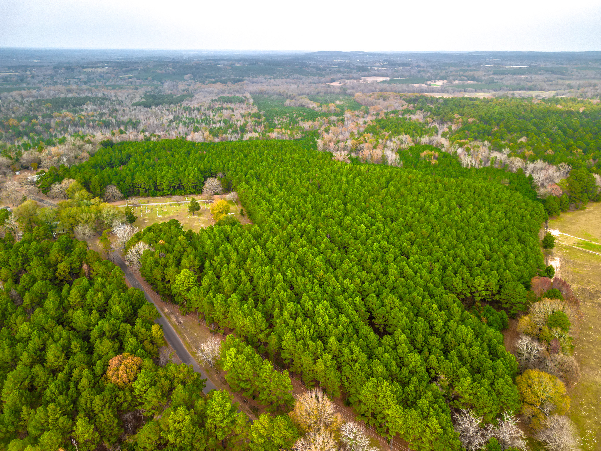
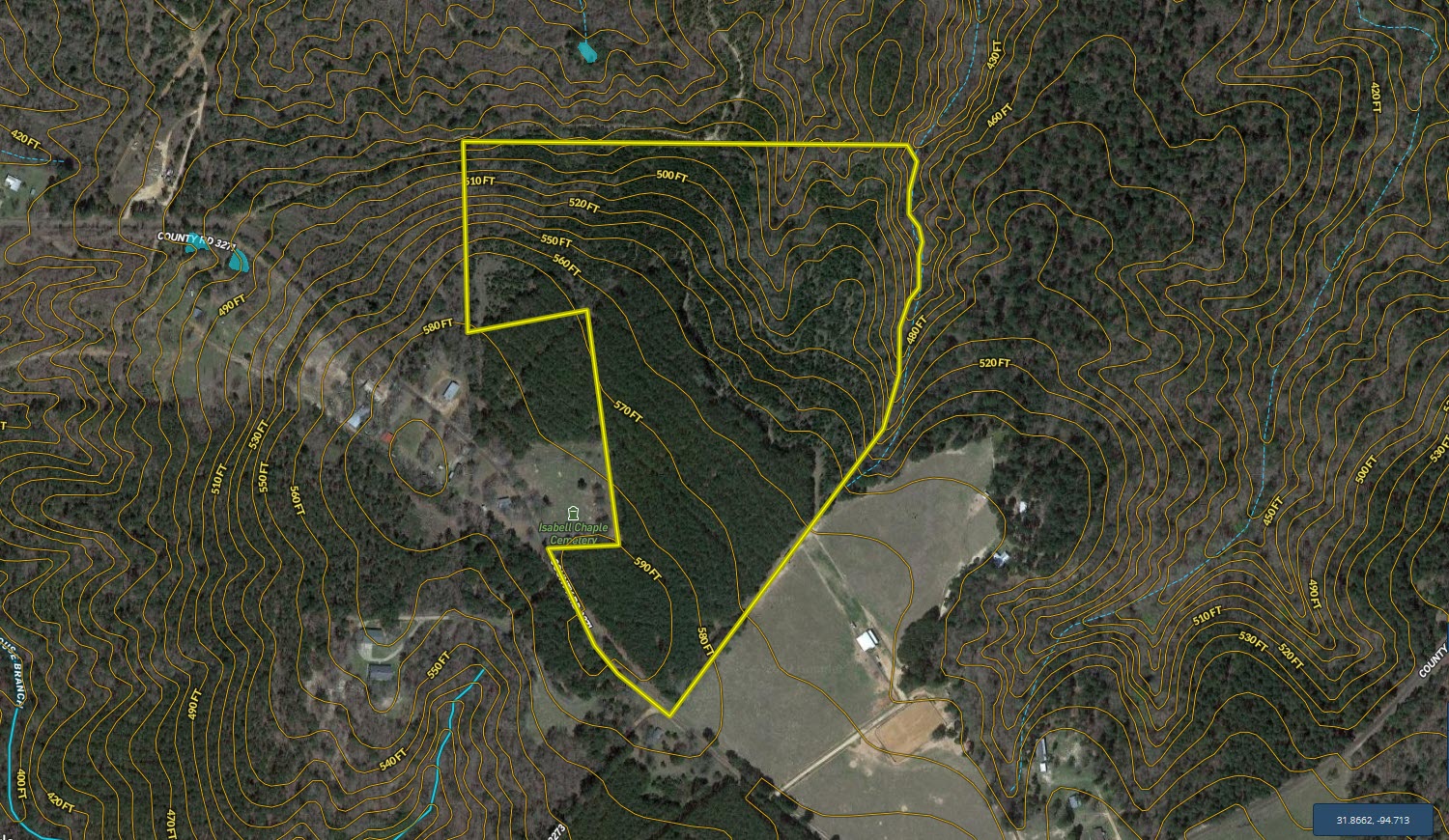
The most notable feature of this property is the hill-top location which has the potential to offer one-of-a-kind views looking north. Elevation ranges from an approximate low of 440’ ASL near the northern boundary to an approximate high of 590’ ASL along the southern boundary. This approximate 150’ of elevation change is very unique for a tract this size that you will not find around every corner. These views are currently hidden by the dense Pine timber but could be developed if desired. The property has good frontage along the northern boundary of CR 3271 and is conveniently located just west of US Hwy 259 between Henderson and Nacogdoches. The owner intends to reserve all owned mineral rights. Call today for your private tour.
Summary
Address
Land Type
Property Type
Land and Farm Property Types
Road Frontage
Road Surface
Fencing
Land Details
Improvements/Features
Details
- Fantastic mixed-use potential
- Long term income potential related to plantation Pine timber
- Rolling topography with 150’ of elevation change
- Located within Mount Enterprise ISD
- Long frontage along CR 3271
- Close proximity to US Hwy 259 for ease of access
- Ag exemption in place
- All boundary lines on map exhibits are approximate and should be verified by buyer
Other
Additional Addresses
CR 3271, Mount Enterprise, TX, 75681
CR 3271, Mount Enterprise, TX, 75681
Coordinates
Annual Taxes
Sold Property
For more information or to see additional properties currently for sale see Cody Robertson's listings.