Shelby County
North Vista Pines
N/S CR 1245 Center, TX 75935
Media
Description
Summary
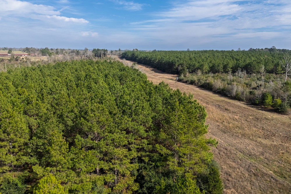
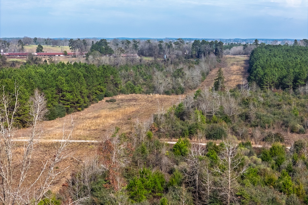
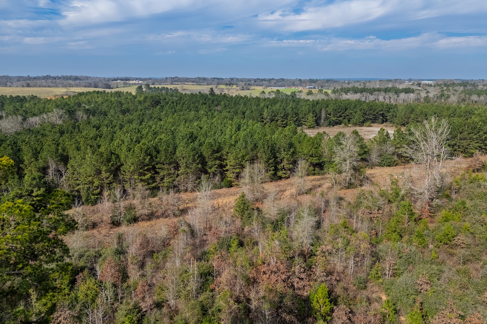
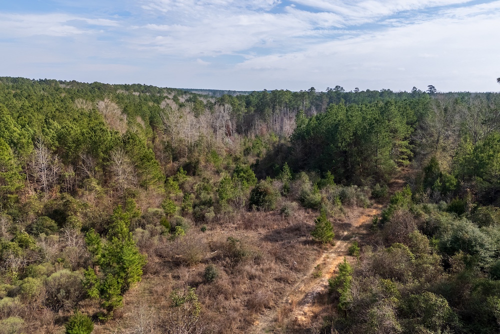
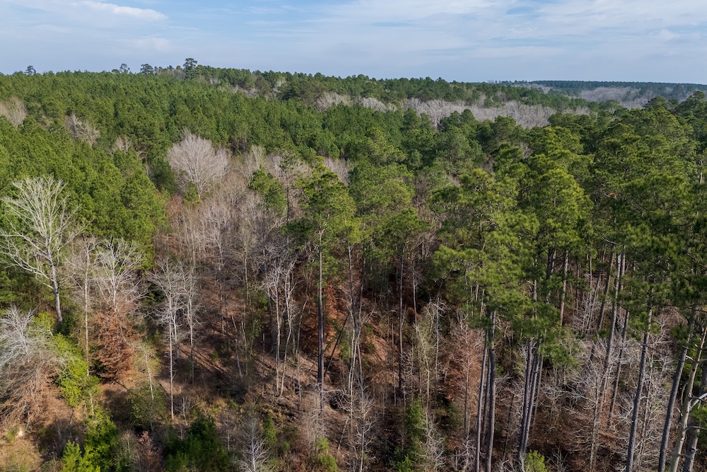
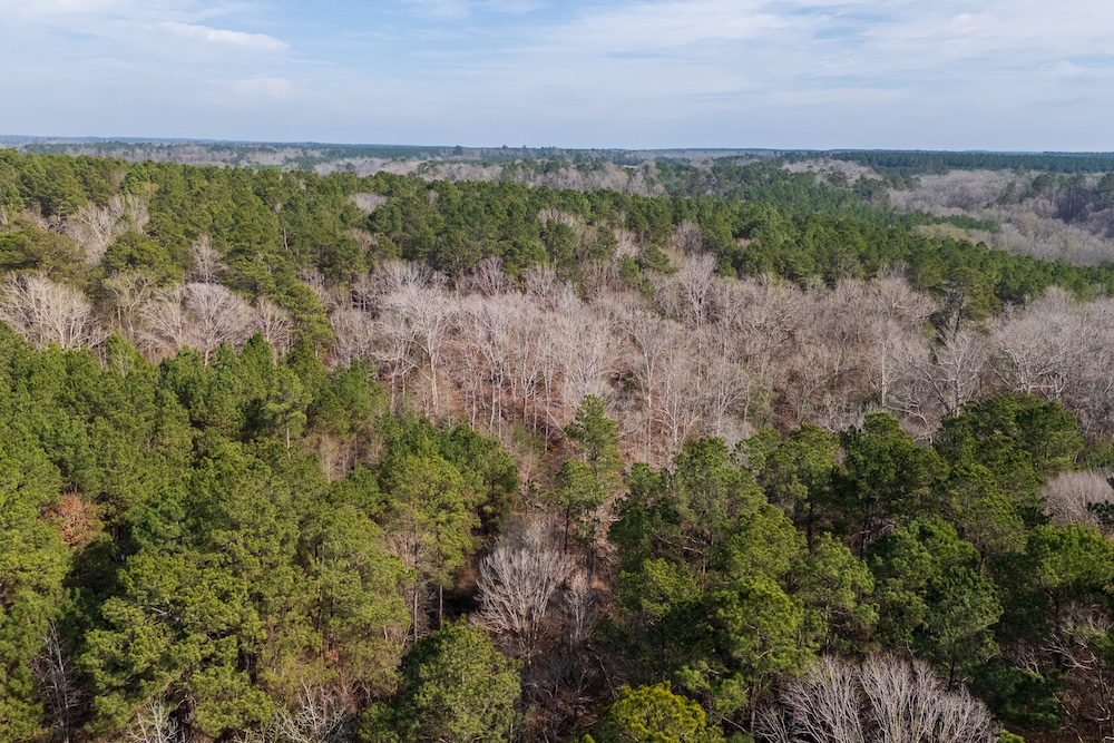
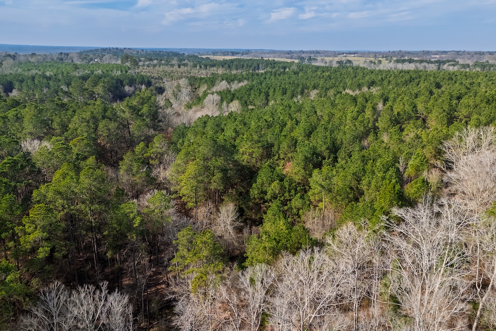
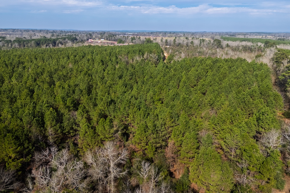
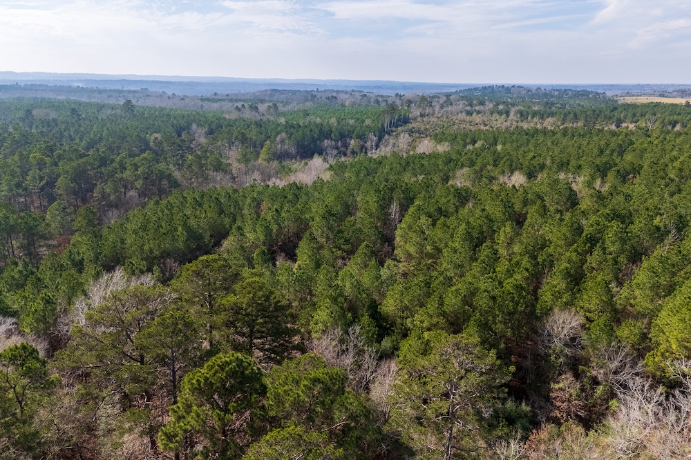
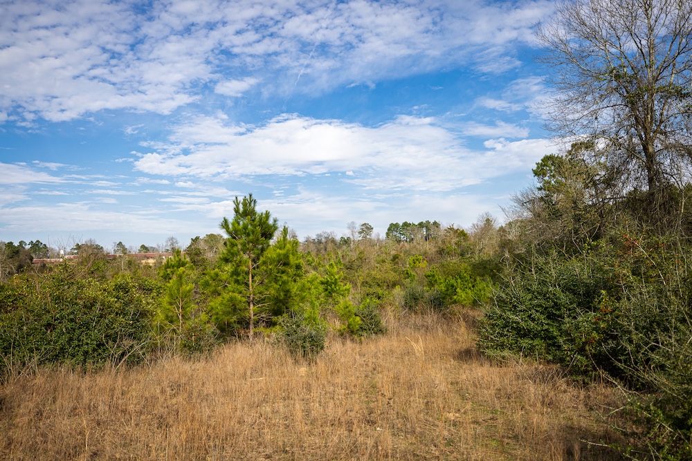
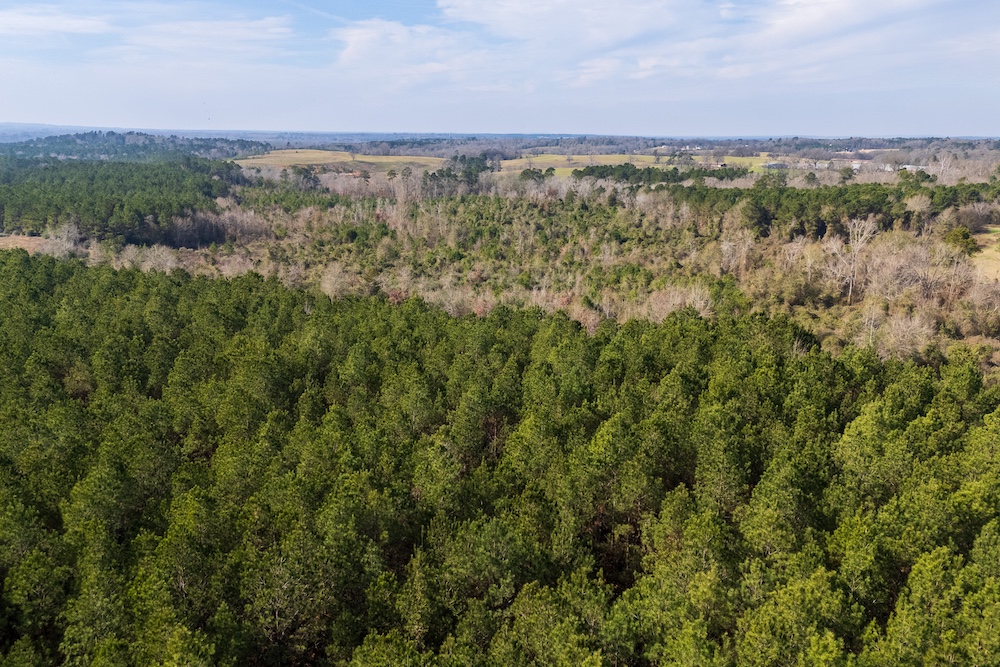
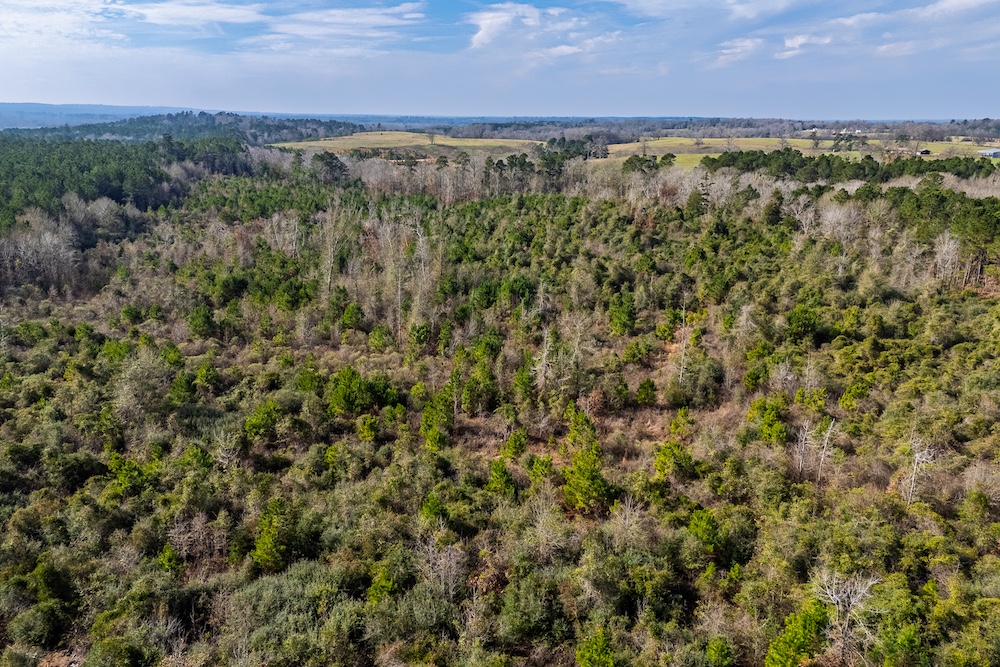
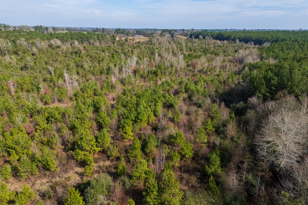
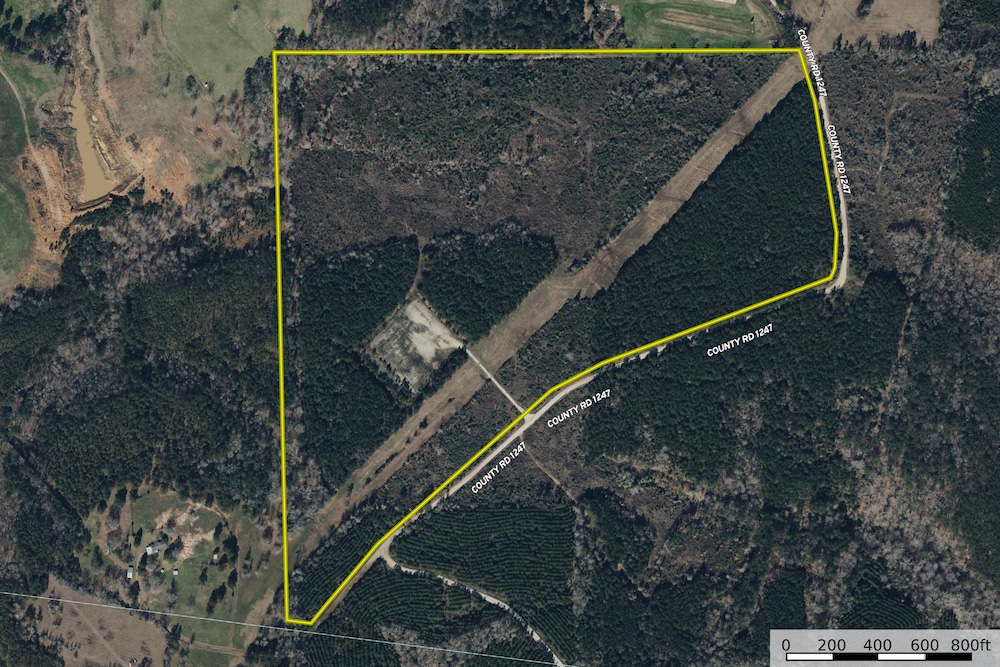
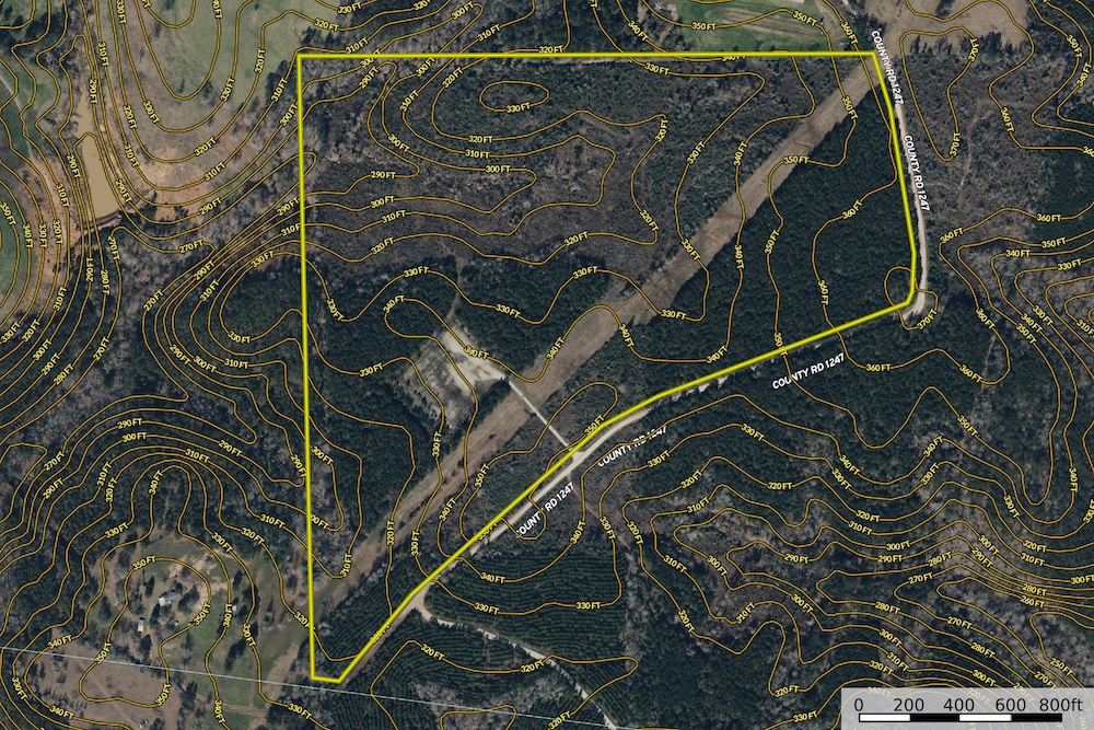
This tract is estimated to be approximately 86.5 acres in size, with final acreage to be determined by survey. The property features rolling East Texas terrain with elevation ranging from an approximate low of 280 feet ASL to a high of approximately 370 feet ASL. The elevation change creates several areas with scenic, north-facing vista potential. The land is primarily upland and appears to be outside of any mapped flood zone. With a mix of planted pine, native regeneration, nearby large timber ownership, and proximity to the Attoyac River, this tract offers strong recreational and long-term land investment appeal.
Property Characteristics
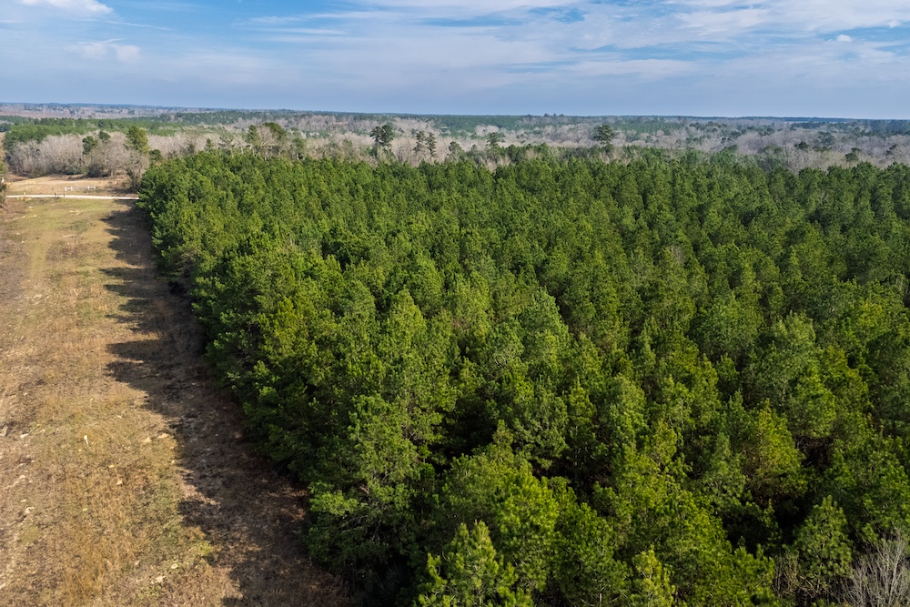
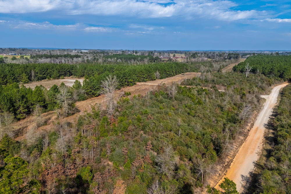
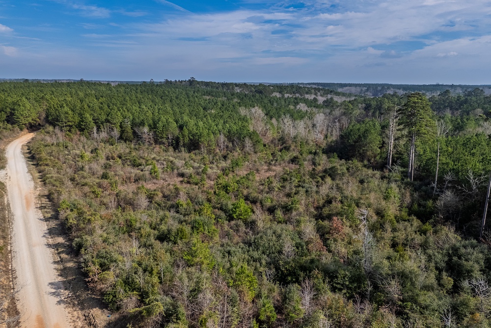
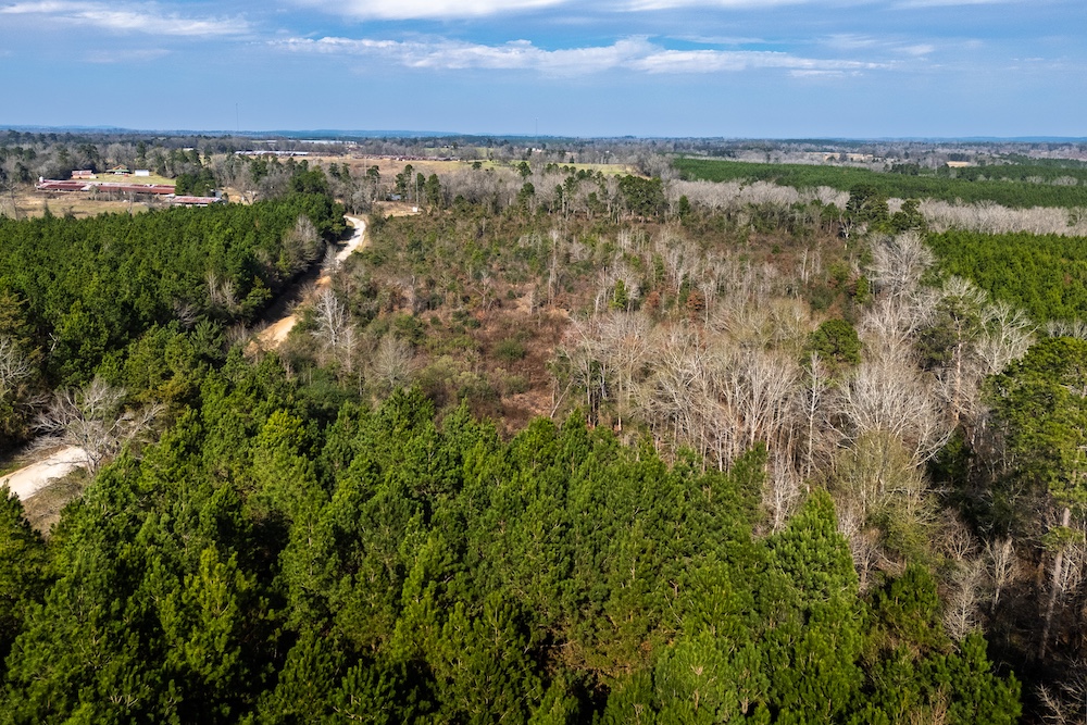
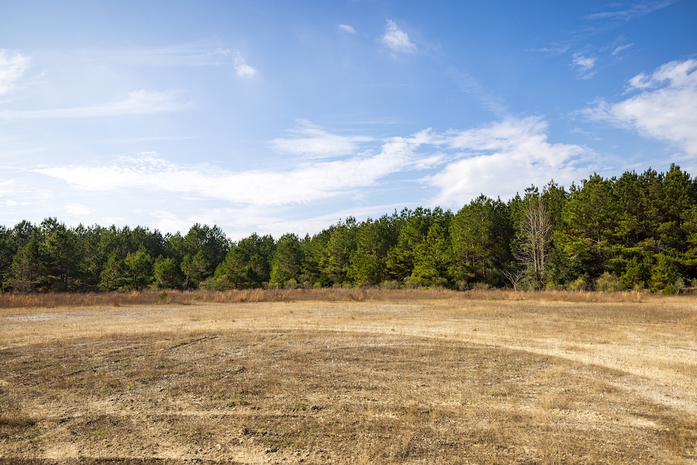
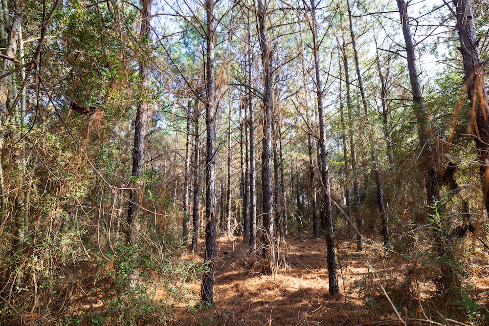
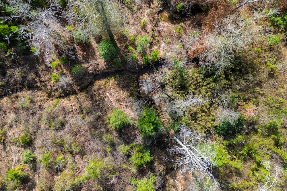
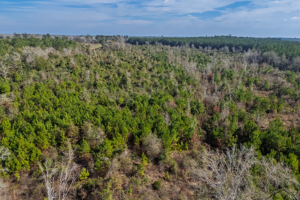
The property consists of rolling topography with usable elevation relief that enhances both drainage and views. Timber cover includes planted pine estimated to be approximately 15 years old, along with native regeneration estimated to be approximately 10 years old across portions of the tract. The property appears to be entirely upland, with no floodplain noted, and includes a small creek or natural drainage located in the northwest portion of the property.
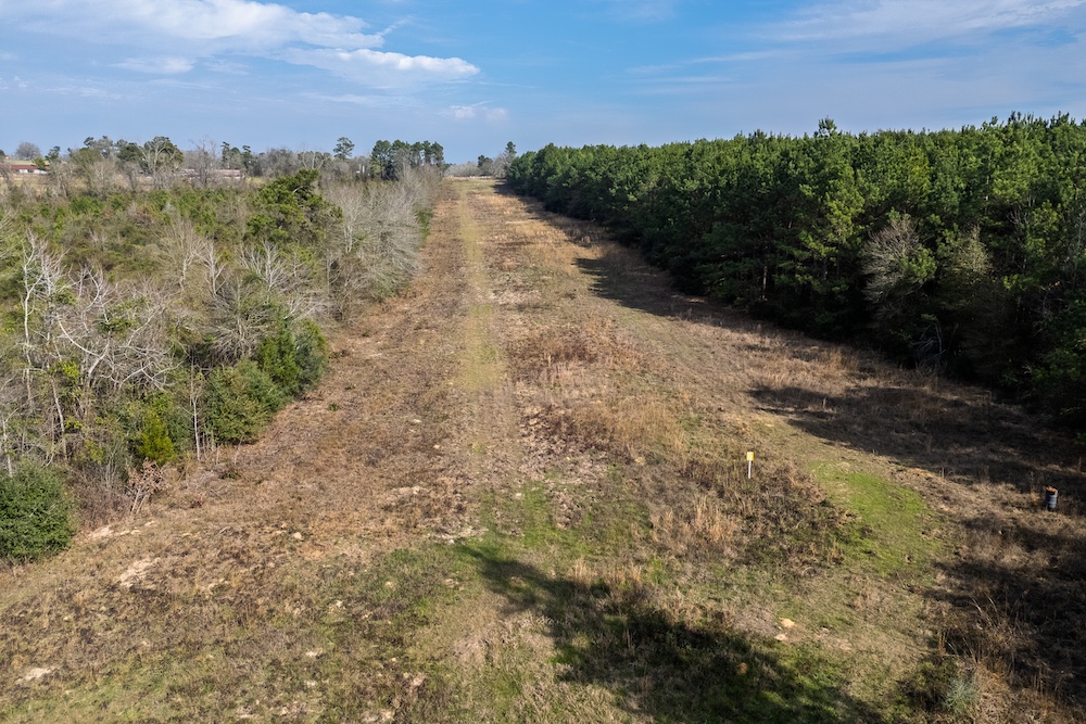
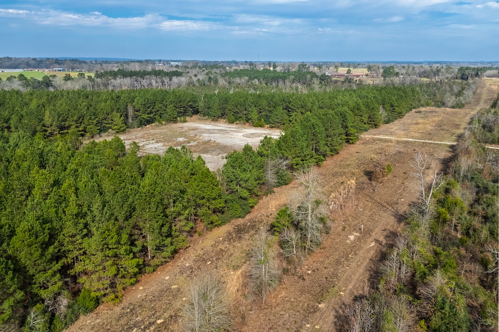
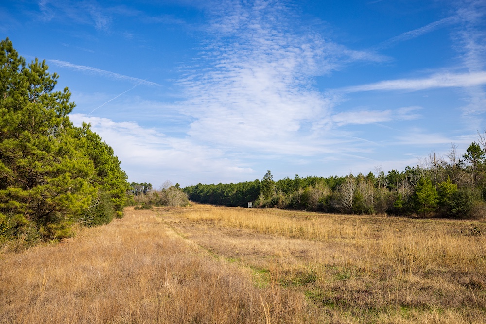
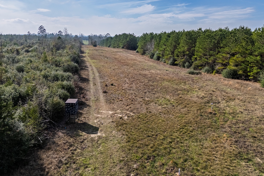
Two adjacent and parallel pipeline easements traverse the tract from southwest to northeast. These corridors create the primary open areas on the property and may serve as internal access routes, shooting lanes, or potential wildlife openings. An existing well site is present on the property; however, the surface equipment has been removed, and the condition or production capacity of the well is unknown.
Wildlife and Recreation
This tract is located in an area dominated by large, institutionally owned timber holdings, which contribute to limited fragmentation and consistent wildlife habitat. The proximity to the Attoyac River, located approximately one to two miles south, further enhances wildlife movement through the area. Whitetail deer, feral hogs, and small game are commonly found in this portion of East Texas. The combination of timber age diversity, elevation change, and open pipeline corridors provides good recreational hunting and outdoor use potential.
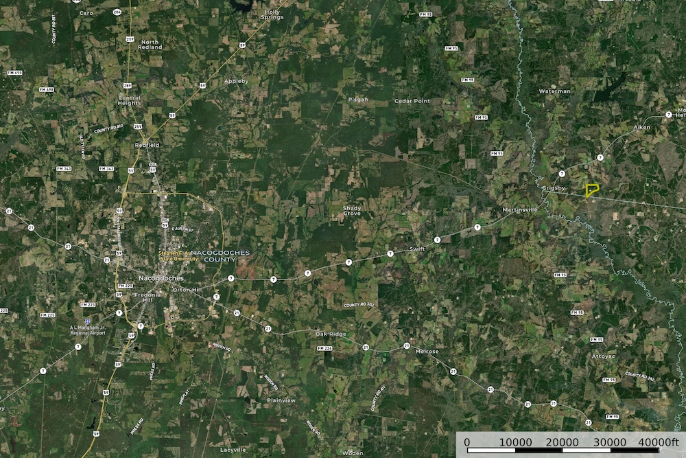
Location
The property is located at approximately 31.653, -94.365 in East Texas and lies in close proximity to the SH 7 corridor. This location offers a balance of accessibility and privacy, with convenient travel routes while remaining surrounded by rural timberland.
Utilities and Access
Access is provided by existing easements associated with the property. Electricity is believed to be available in the general area, though availability and capacity should be verified by the buyer. A former well site is present, but any future use would require verification and potential redevelopment.
Summary
Address
Approximate Distances
Property
Land Details
Timber
Utilities
Improvements/Features
Small Game, Big Game, Predators, Surface Only
Details
- Estimated 86.5± acres; final acreage to be determined by survey
- Rolling East Texas terrain with elevations from approximately 280' to 370' ASL
- North-facing vista potential from higher elevations
- Mix of planted pine (approx. 15 years old) and native regeneration (approx. 10 years old)
- Appears to be entirely upland with no flood zone noted
- Small creek / drainage in the northwest portion of the property
- Two adjacent pipeline easements providing open areas and internal access
- Existing well site present; surface equipment removed
- Located near large, institutionally owned timber tracts
- Approximately 1–2 miles north of the Attoyac River
- Close proximity to the SH 7 corridor
- Strong recreational and hunting potential
- Ag exemption status should be independently verified
- Descriptions and exhibits are considered reliable but should be verified by buyer or buyer’s agent
Other
Coordinates
Annual Taxes

Nearby Related Properties
Stay Connected
Be Part of a Thriving Land Community!
Get the same expert advice, property strategies, and land management tips that thousands of landowners trust. Subscribe now and stay ahead in the market.